Elevation of Sliven, Bulgaria
Location: Bulgaria > Sliven Province >
Longitude: 26.3228569
Latitude: 42.6816761
Elevation: 263m / 863feet
Barometric Pressure: 98KPa
Elevation Map:
Satellite Map:
Related Photos:
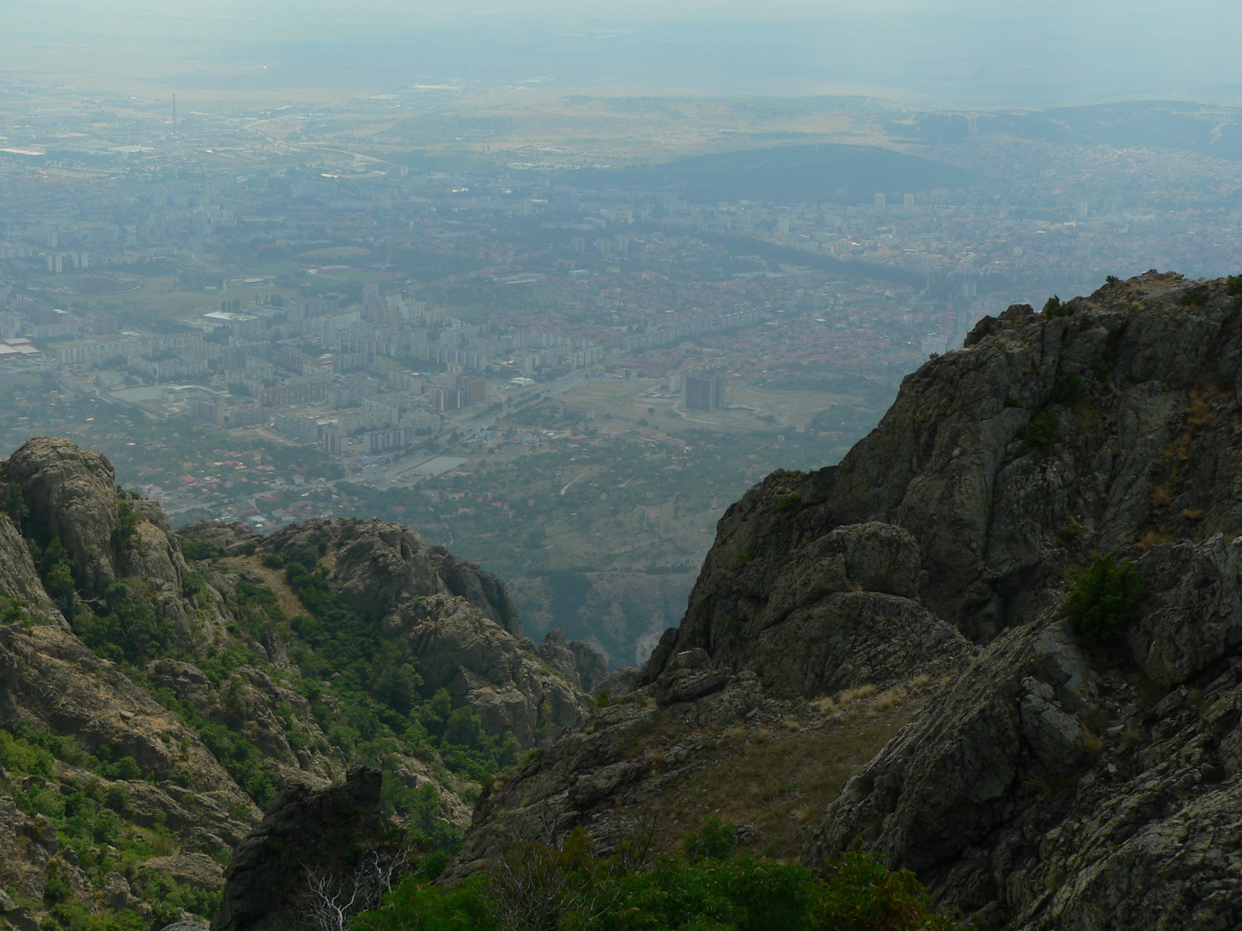
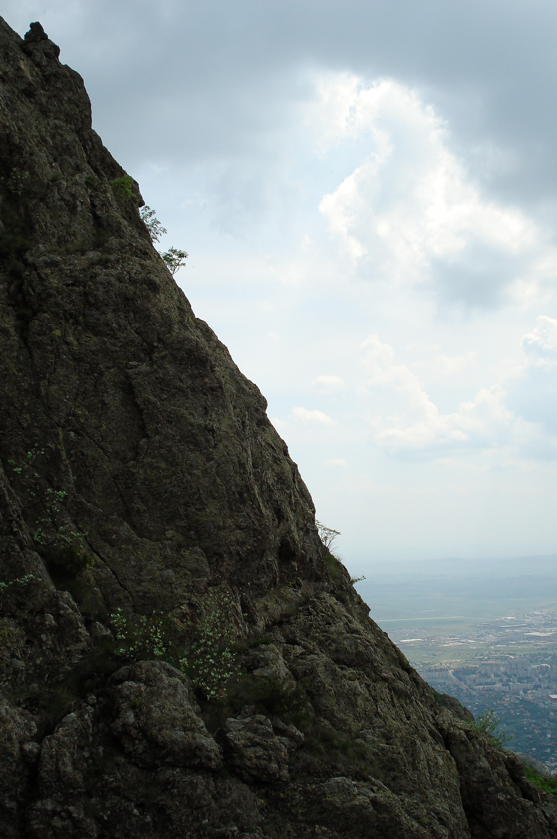
P1050418.JPG
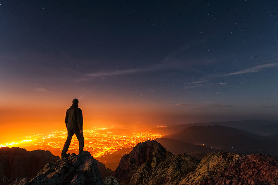
Above the Night
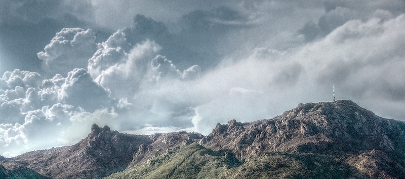
Карандила
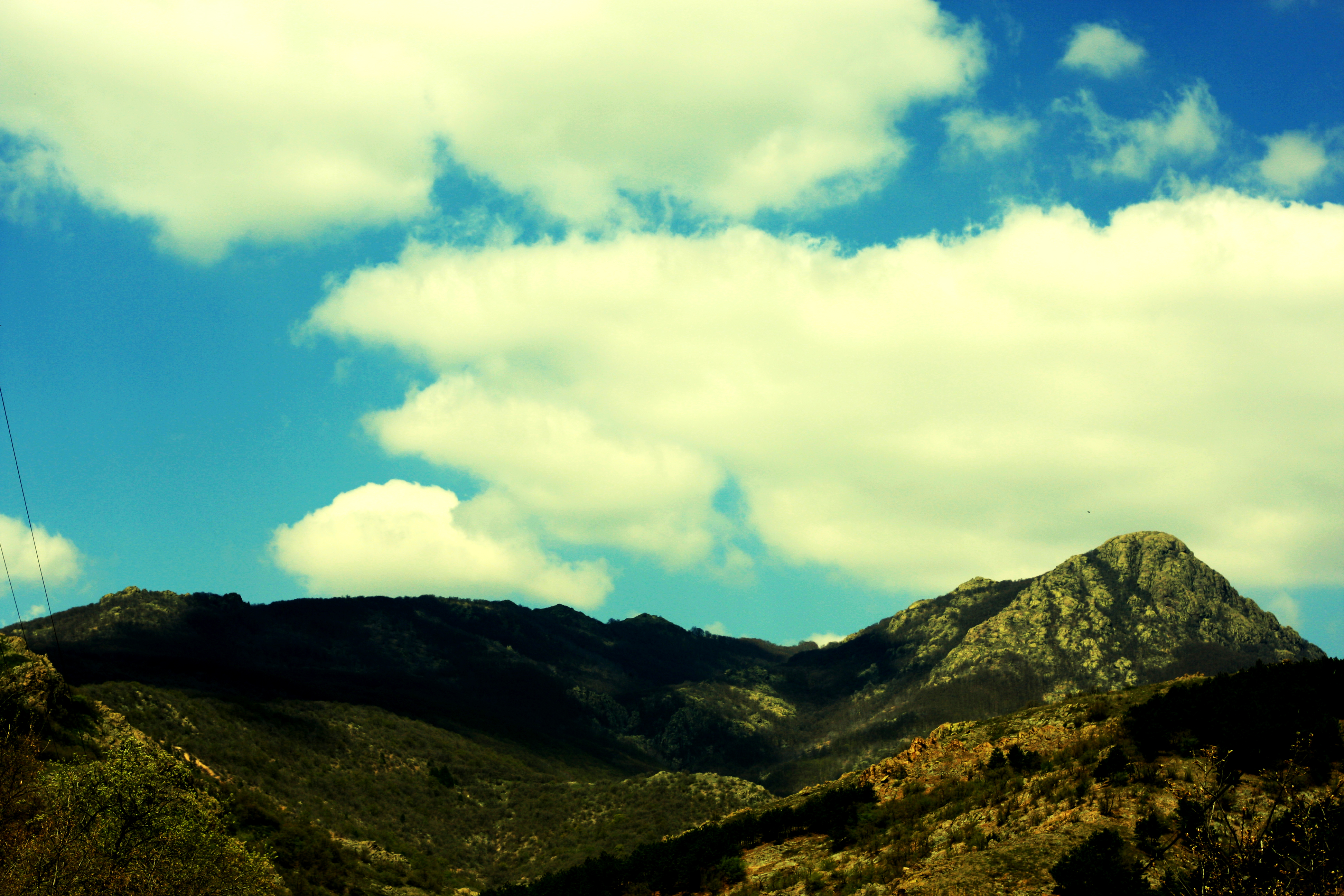
hills have eyes

Karandila National Park
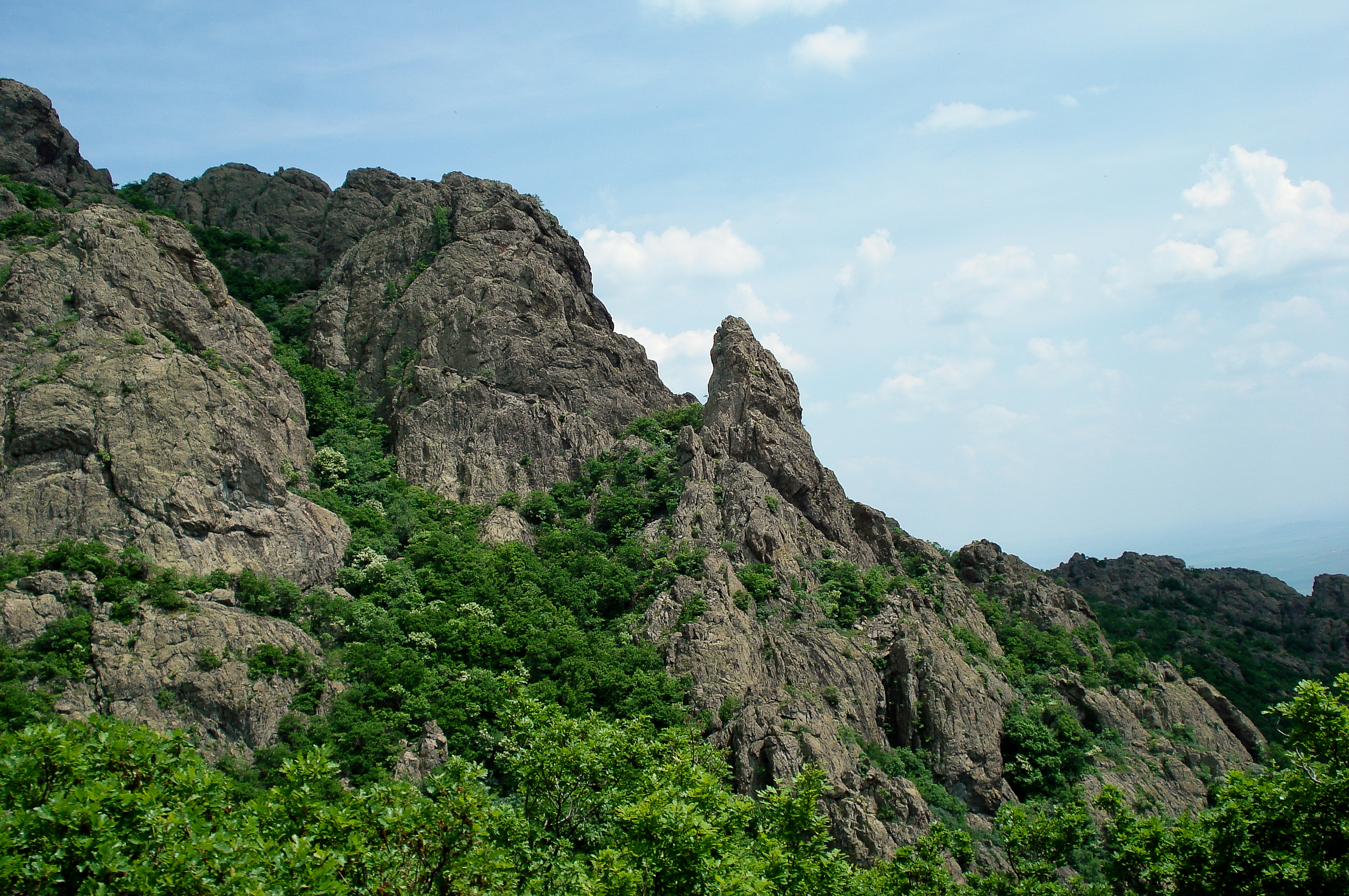
Karandila National Park
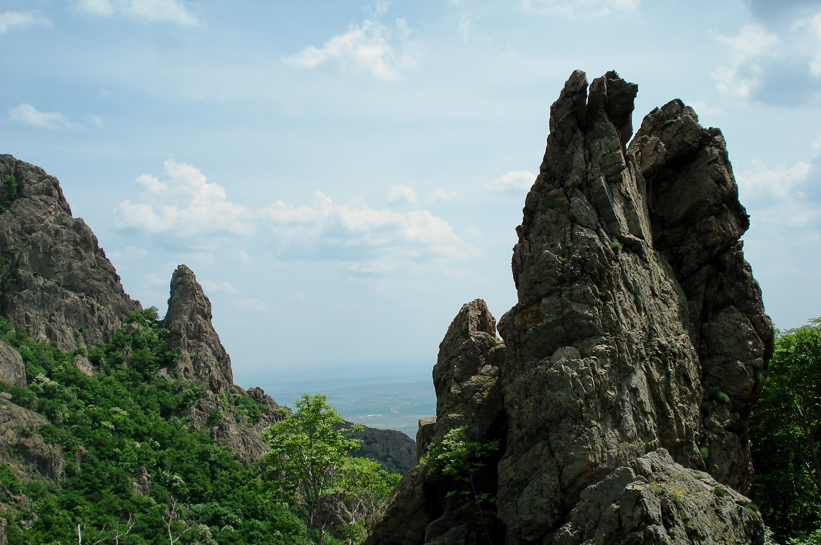
Karandila National Park
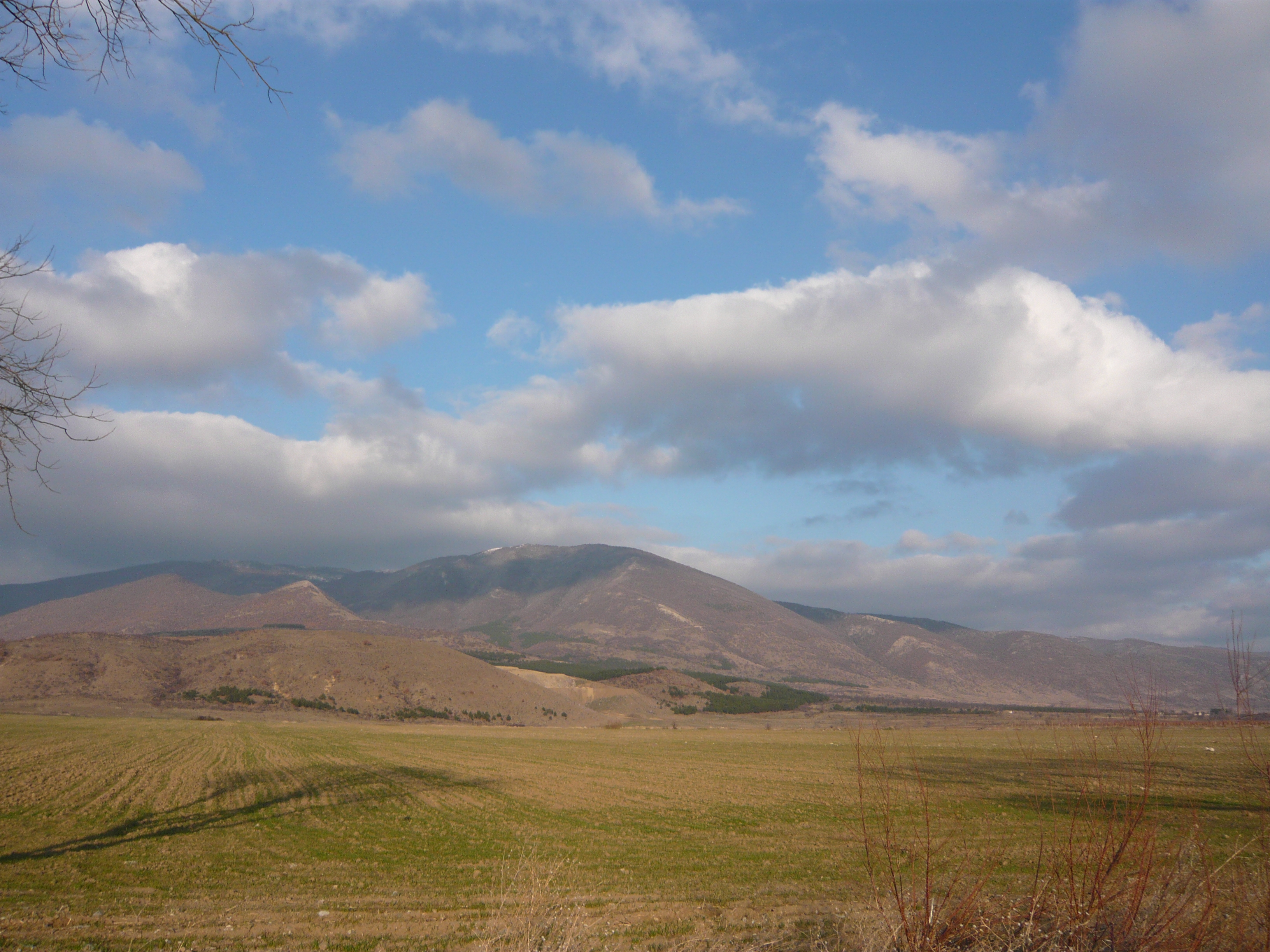
Blue Stones / Сините камъни
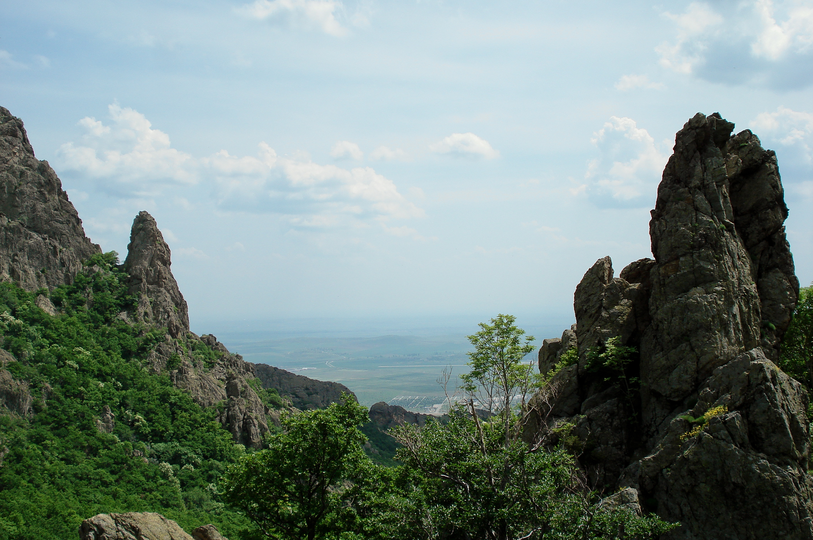
Karandila National Park
Karandila National Park
Topographic Map of Sliven, Bulgaria
Find elevation by address:

Places in Sliven, Bulgaria:
Places near Sliven, Bulgaria:
Sliven Province
Sliven
Unnamed Road
Bulgaria
Ardachlaka
Unnamed Road
Mokren
Stoynovo
Tănki Răt, Veliko Tărnovo
Cerkovna
Stoicevți
16, Zlataritsa, Bulgaria
Gurkovo
55 89, Pchelinovo, Bulgaria
Pchelinovo
Targovishte Province
51 29, Dralfa, Bulgaria
Tserova Koria
Bulgaria
Town Hall Pisarevo
Recent Searches:
- Elevation of Luther Road, Luther Rd, Auburn, CA, USA
- Elevation of Unnamed Road, Respublika Severnaya Osetiya — Alaniya, Russia
- Elevation of Verkhny Fiagdon, North Ossetia–Alania Republic, Russia
- Elevation of F. Viola Hiway, San Rafael, Bulacan, Philippines
- Elevation of Herbage Dr, Gulfport, MS, USA
- Elevation of Lilac Cir, Haldimand, ON N3W 2G9, Canada
- Elevation of Harrod Branch Road, Harrod Branch Rd, Kentucky, USA
- Elevation of Wyndham Grand Barbados Sam Lords Castle All Inclusive Resort, End of Belair Road, Long Bay, Bridgetown Barbados
- Elevation of Iga Trl, Maggie Valley, NC, USA
- Elevation of N Co Rd 31D, Loveland, CO, USA