Elevation of Skyland Dr, Crestline, CA, USA
Location: United States > California > San Bernardino County > Crestline >
Longitude: -117.27969
Latitude: 34.2339587
Elevation: 1605m / 5266feet
Barometric Pressure: 83KPa
Elevation Map:
Satellite Map:
Related Photos:

A Face Only UP Could Love

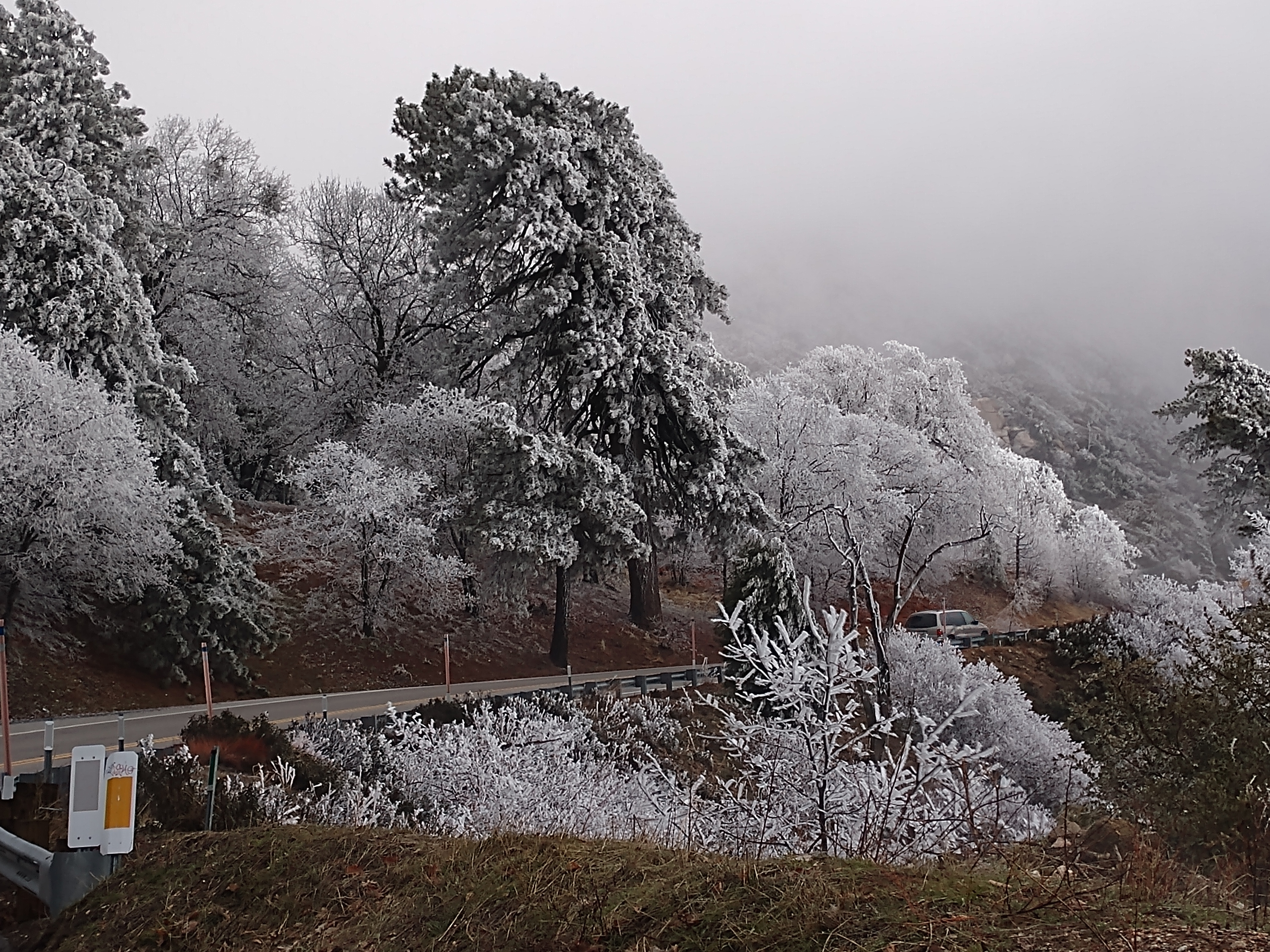
Islands in the Mist
Snow caps behind

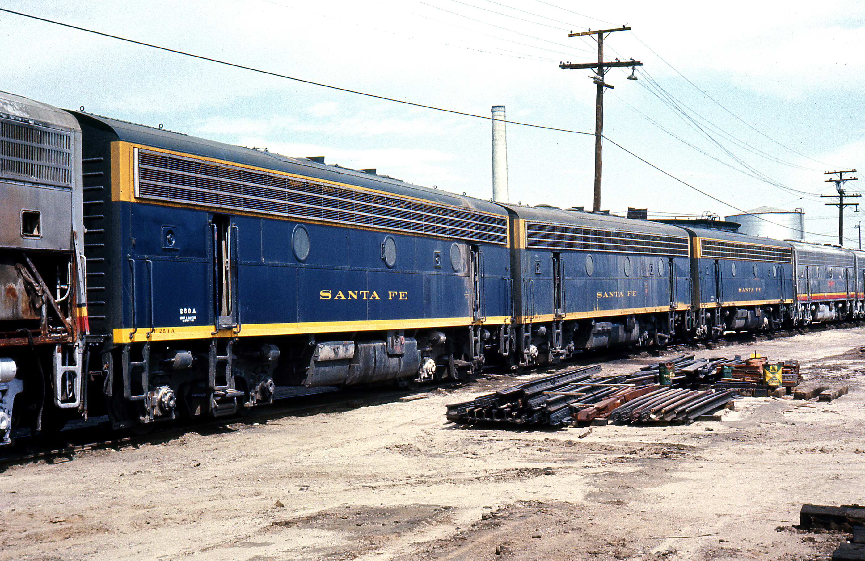
SD Trucks In The Shops Over The Pit

South from Marie Louise

Overlooking the Inland Empire
village cove homes

Sleepee in a Teepee
The White House (of San Bernardino)

San Bernardino Bicentennial Celebration
Pristine Nevermore 2
Chaparral Carpet
Last Light, Lake Arrowhead

What A Blast!
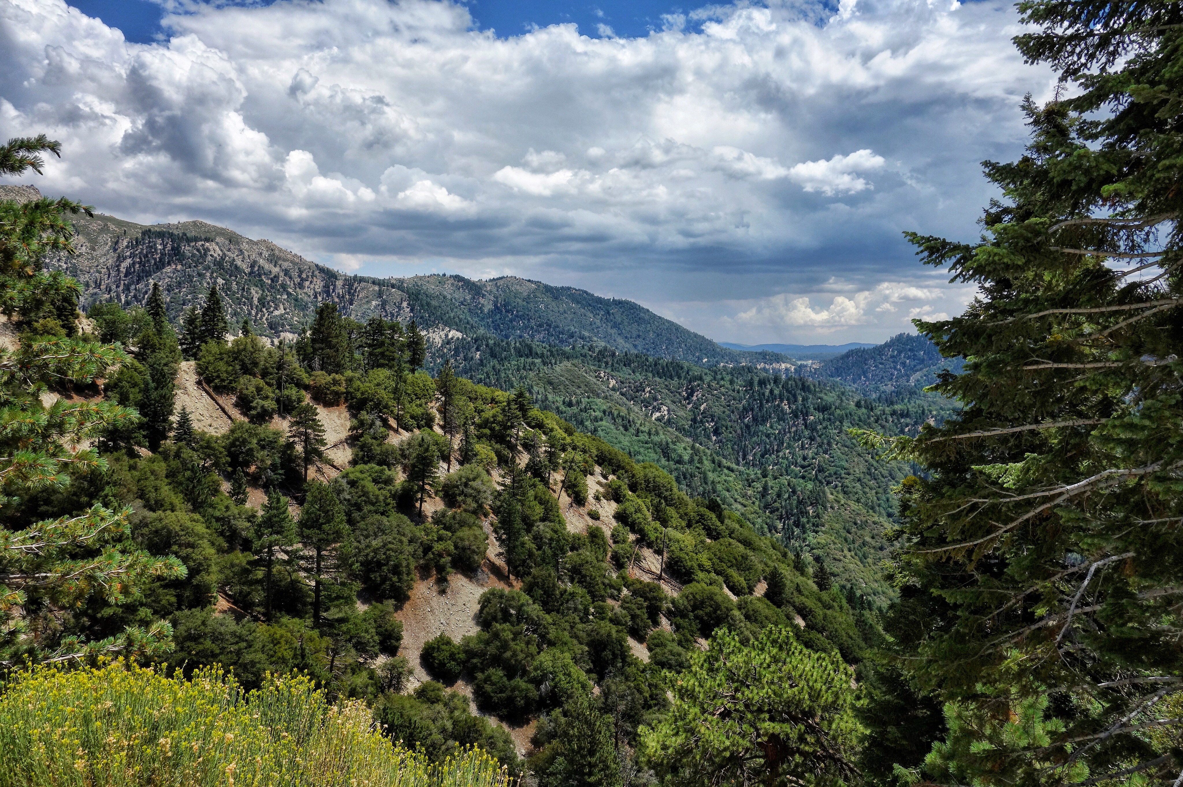
Ridges and Valleys

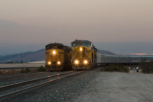
Sunrise Over the Depot
Rainbow Power

A Mixture of Fog and Clouds

prcssd. combat camera. san bernardino, ca. 2011.
Not So Beautiful Boosters
Two @ Dike

#sanbernardinomountains #mountains #runningsprings #hwy18

San Bernardino city and National Forest

Rim of the World Highway

Sunset at Rim of the World

Rainbow over Historic Route 66
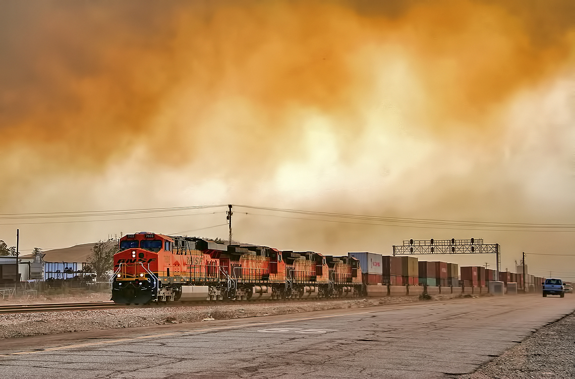
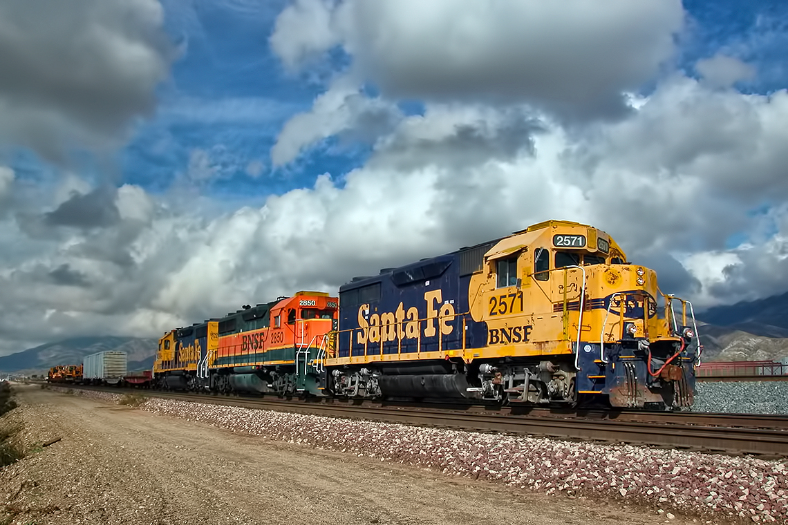
Read the link. BNSF Train under the Old Fire smoke

Above it all
Rim of the World Highway, San Bernardino County, California U.S.A. - March 9, 2019
Fire on the Water
2004 Westbound MoW train in Verdemont, from my collection.

110-365 Fishing Reconnaissance
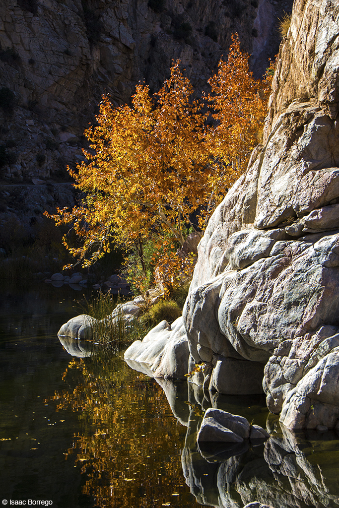
Canyon Reflections - Deep Creek, California
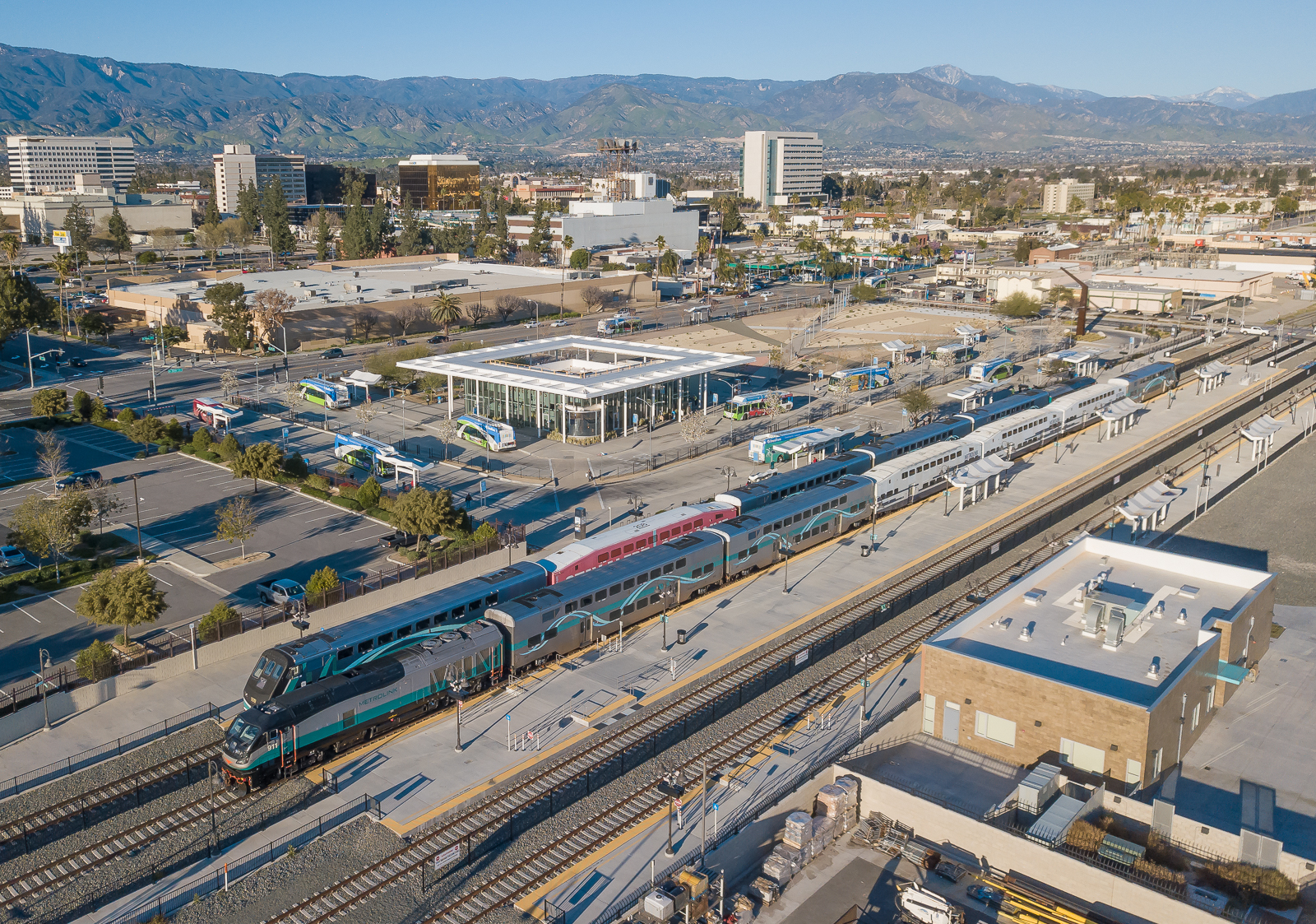
Metrolink San Bernardino Downtown Station

Rim of the World Highway, San Bernardino County, California U.S.A. - March 9, 2019

Pine Falls
#bigbear #bigbearlake #sanbernardino #sanbernardinonationalforest
Topographic Map of Skyland Dr, Crestline, CA, USA
Find elevation by address:

Places near Skyland Dr, Crestline, CA, USA:
23878 Lakeview Dr
24115 Cresta Dr
23969 Wildwood Ln
24233 Bernard Dr
24283 Bernard Dr
Altdorf Drive
23407 Lakeview Dr
619 Alder Rd
23737 Bowl Rd
618 Leafy Ln
611 Leafy Ln
910 Fern Dr
23697 Bowl Rd
1019 Lausanne Dr
1051 Lausanne Dr
Crestline
Lake Gregory Regional Park
24359 Montreaux Dr
7-11/goodwin’s Market Lake Gregory At Lake Drive
Rocky Dell
Recent Searches:
- Elevation of Spaceport America, Co Rd A, Truth or Consequences, NM, USA
- Elevation of Warwick, RI, USA
- Elevation of Fern Rd, Whitmore, CA, USA
- Elevation of 62 Abbey St, Marshfield, MA, USA
- Elevation of Fernwood, Bradenton, FL, USA
- Elevation of Felindre, Swansea SA5 7LU, UK
- Elevation of Leyte Industrial Development Estate, Isabel, Leyte, Philippines
- Elevation of W Granada St, Tampa, FL, USA
- Elevation of Pykes Down, Ivybridge PL21 0BY, UK
- Elevation of Jalan Senandin, Lutong, Miri, Sarawak, Malaysia