Elevation of Skye Point Rd, Coal Point NSW, Australia
Location: Australia > New South Wales > Lake Macquarie City Council > Coal Point >
Longitude: 151.612558
Latitude: -33.040745
Elevation: 31m / 102feet
Barometric Pressure: 101KPa
Elevation Map:
Satellite Map:
Related Photos:

Between the Rocks

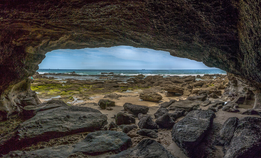
()CAVE VIEW - CAVES BEACH.
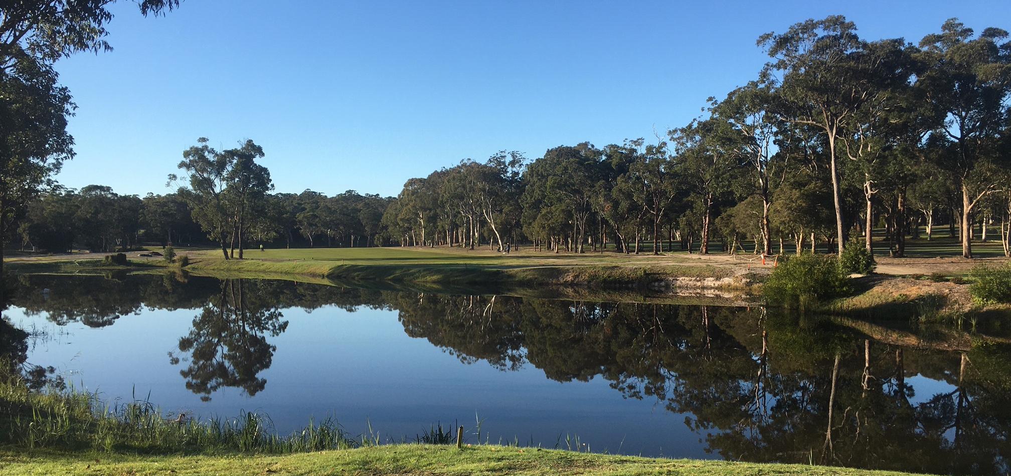
VIEW FROM THE SECOND TEE

Sail away with me

Green Sludge

Dora Creek

Rocky Inlet

Burwood Blues

Redhead Flow

Redhead Rocks

Reverse Flow

Burwood Blues

Burwood Long Exposure

Redhead Flow

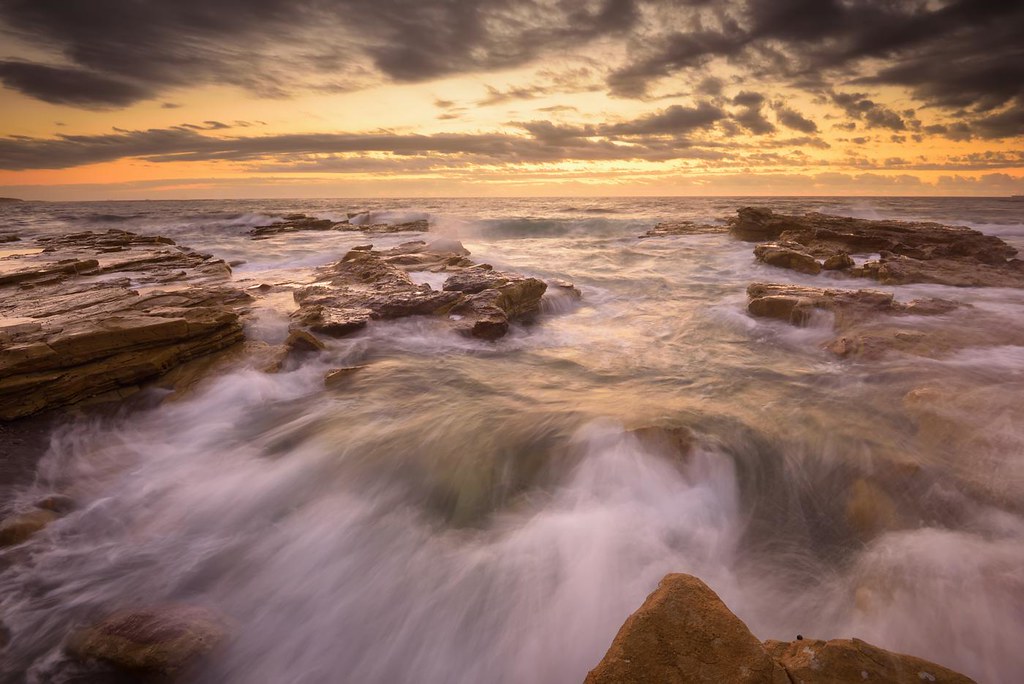
Wild and rugged

VIEW FROM SNAPPER POINT

Into the Light

Solace of sunrise

In the Shallows
Into the Distance

Joy to the world!

Catherine Hill Bay

Eyelet Rock

Incoming Flow

What Lies Beneath

Incoming Flow

Reverse Flow

Chalky Beach Rocks
_DSC9985-Pano.jpg

The Green Tunnel

Mini Waterfall

Danger Awaits

Through the Gap

Through the Gap

Looking Out to Sea

Suspended Wave
Topographic Map of Skye Point Rd, Coal Point NSW, Australia
Find elevation by address:

Places near Skye Point Rd, Coal Point NSW, Australia:
147 Skye Point Rd
230 Skye Point Rd
Coal Point
110 Coal Point Rd
7/21 Excelsior Parade
24 Coal Point Rd
Carey Bay
7 Noorumba Cl
175 Excelsior Parade
2 Karie Pl
185 Excelsior Parade
148 Excelsior Parade
70 Brighton Ave
3 Bayswater Rd
142 Brighton Ave
Rathmines
242 Excelsior Parade
250 Excelsior Parade
233 Brighton Ave
4 Mount Waring Rd
Recent Searches:
- Elevation of Thorpe Cir, Thousand Oaks, CA, USA
- Elevation of Eldorado do Sul - RS, Brazil
- Elevation of Eldorado do Sul - Parque Eldorado, Eldorado do Sul - RS, -, Brazil
- Elevation of 35 Governors Ln, Hilton Head Island, SC, USA
- Elevation of Orangevale, CA, USA
- Elevation of Doe Cir, Clinton, OH, USA
- Elevation of Narhe, Pune, Maharashtra, India
- Elevation of Martins Mill Ct, Eagle Rock, NC, USA
- Elevation of Kippen, Stirling FK8, UK
- Elevation of Sieveringer Straße, Sieveringer Str., Wien, Austria