Elevation of Skovorodino, Amur Oblast, Russia
Location: Russia > Amur Oblast > Skovorodinsky District >
Longitude: 123.940166
Latitude: 53.983631
Elevation: 401m / 1316feet
Barometric Pressure: 97KPa
Elevation Map:
Satellite Map:
Related Photos:

Новый день,новые пейзажи..
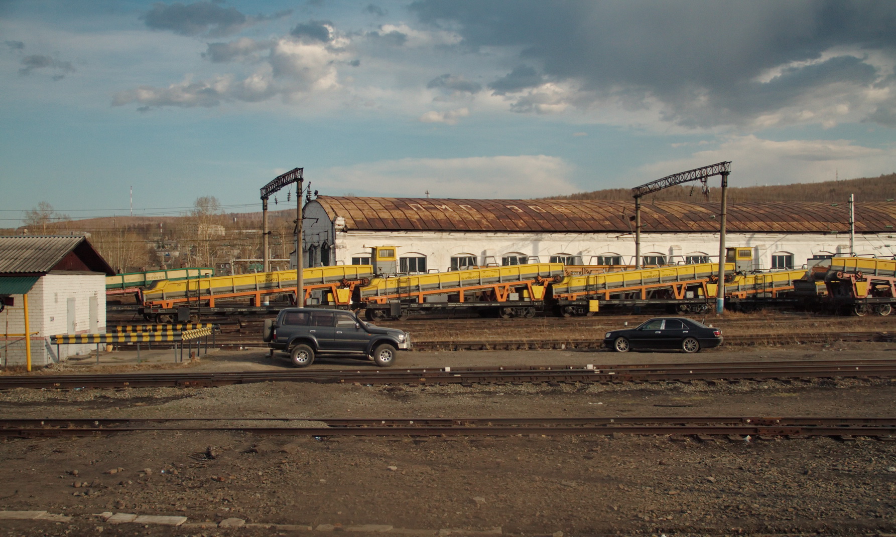
Депо г. Сковородино

Частный сектор г. Сковородино у р. Большой Невер

RZD 2TE25A スコボロジノ

RZD P36-0091 スコボロジノ
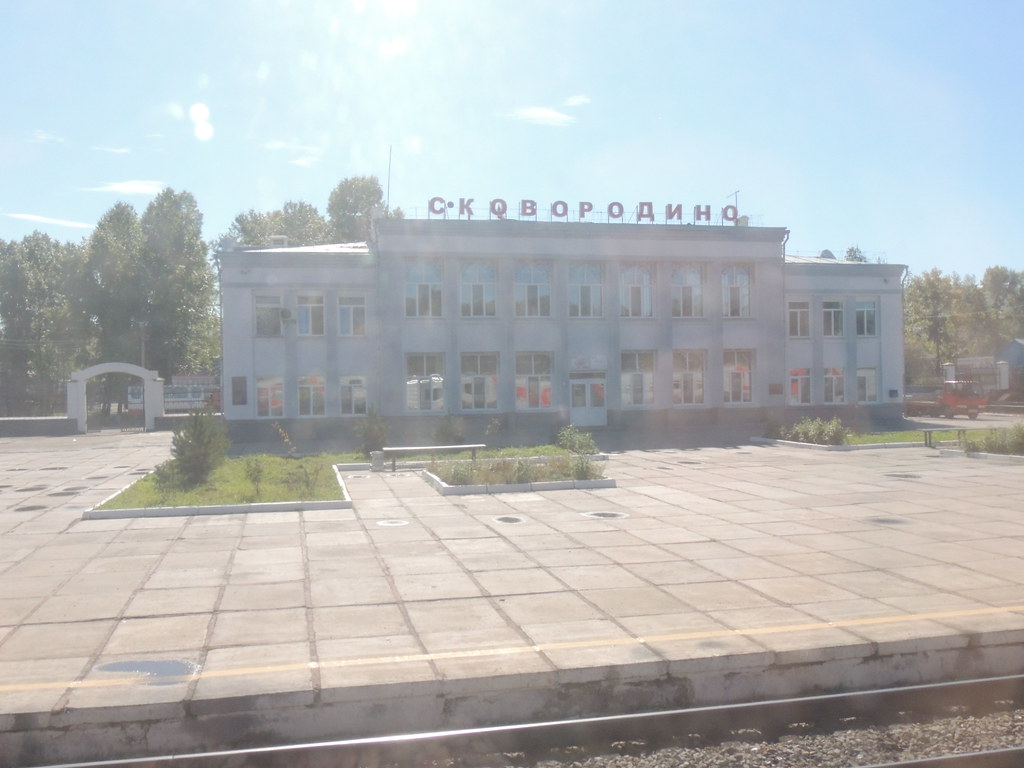
スコボロジノ駅
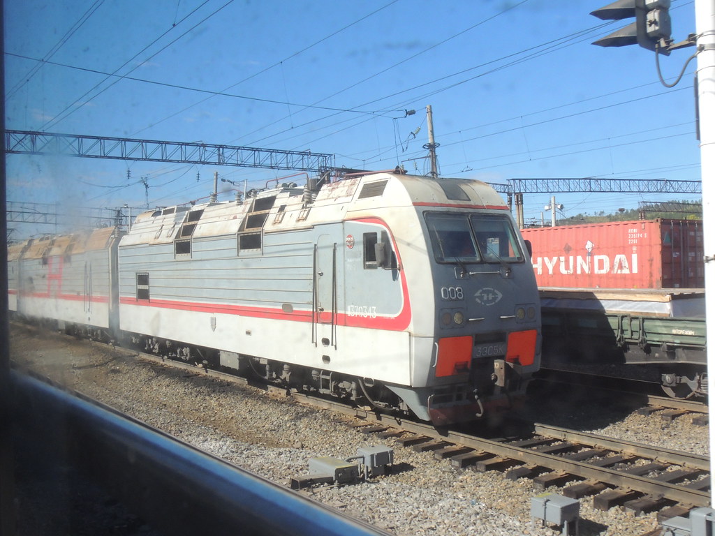
RZD 3ES5K-008

RZD 3ES5K-436

RZD TEM18DM-722

RZD TEM2-780

P36.0091 en Skovorodino (Сковородино́) agosto 1990
Topographic Map of Skovorodino, Amur Oblast, Russia
Find elevation by address:

Recent Searches:
- Elevation of Doe Cir, Clinton, OH, USA
- Elevation of Narhe, Pune, Maharashtra, India
- Elevation of Martins Mill Ct, Eagle Rock, NC, USA
- Elevation of Kippen, Stirling FK8, UK
- Elevation of Sieveringer Straße, Sieveringer Str., Wien, Austria
- Elevation of Bratskaya Ulitsa, 24, Kurgan, Kurganskaya oblast', Russia
- Elevation of Paradisvegen, Biri, Norway
- Elevation of Crystal Cir, Birmingham, AL, USA
- Elevation of N Railroad Ave, West Palm Beach, FL, USA
- Elevation of 55 Cassick Valley Rd, Wellfleet, MA, USA