Elevation of Skookumchuck, BC V0B 2E0, Canada
Location: Canada > British Columbia > East Kootenay >
Longitude: -115.73370
Latitude: 49.912481
Elevation: 787m / 2582feet
Barometric Pressure: 92KPa
Elevation Map:
Satellite Map:
Related Photos:

The Fallen, the Dynamic, the Static, and the Fickle

Premier Lake

Lazy Lake

Rainbow mania

Quartz (Rockbluff) Lake, BC, Canada

Wasa 1975 Airshow 10
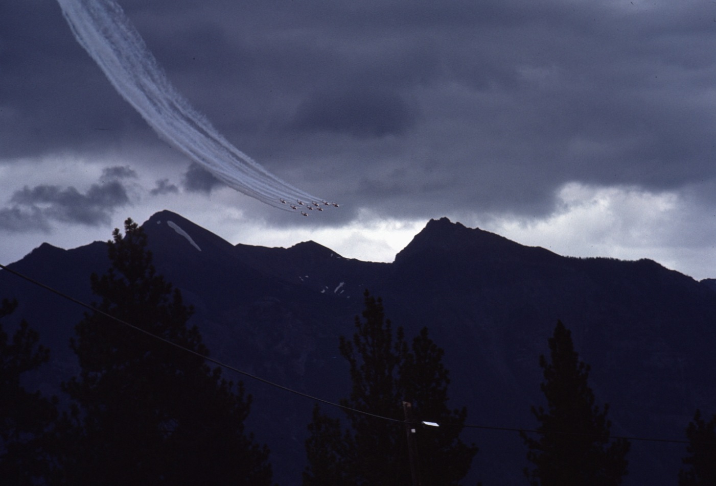
Wasa 1975 Airshow 1

Wasa 1975 Airshow 6

Looking out over Premier Lake

Columbia Lake
Topographic Map of Skookumchuck, BC V0B 2E0, Canada
Find elevation by address:

Places in Skookumchuck, BC V0B 2E0, Canada:
Places near Skookumchuck, BC V0B 2E0, Canada:
Ta Ta Creek
Travois Nw4
Diorite Nw4
Travois N1
Travois Peak
Teepee N3
Teepee N1
Diorite Nw3
Teepee Mountain
Teepee N4
Lussier Peak
Mount Stevens
East Kootenay E
Diorite N4
Diorite Peak
Hahas Lake
Diorite N5
Diorite Se2
Diorite Ne2
Shark Tooth S4
Recent Searches:
- Elevation of Congressional Dr, Stevensville, MD, USA
- Elevation of Bellview Rd, McLean, VA, USA
- Elevation of Stage Island Rd, Chatham, MA, USA
- Elevation of Shibuya Scramble Crossing, 21 Udagawacho, Shibuya City, Tokyo -, Japan
- Elevation of Jadagoniai, Kaunas District Municipality, Lithuania
- Elevation of Pagonija rock, Kranto 7-oji g. 8"N, Kaunas, Lithuania
- Elevation of Co Rd 87, Jamestown, CO, USA
- Elevation of Tenjo, Cundinamarca, Colombia
- Elevation of Côte-des-Neiges, Montreal, QC H4A 3J6, Canada
- Elevation of Bobcat Dr, Helena, MT, USA