Elevation of Ski Apache, Ski Run Rd, Alto, NM, USA
Location: United States > New Mexico > Alto >
Longitude: -105.78877
Latitude: 33.3973426
Elevation: 2981m / 9780feet
Barometric Pressure: 70KPa
Elevation Map:
Satellite Map:
Related Photos:
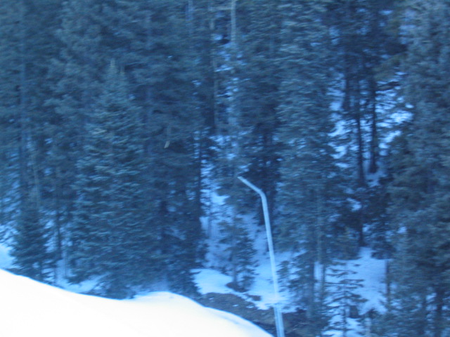
View from the lift
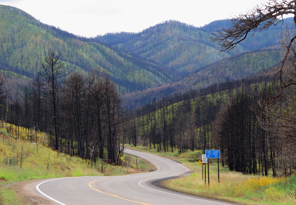
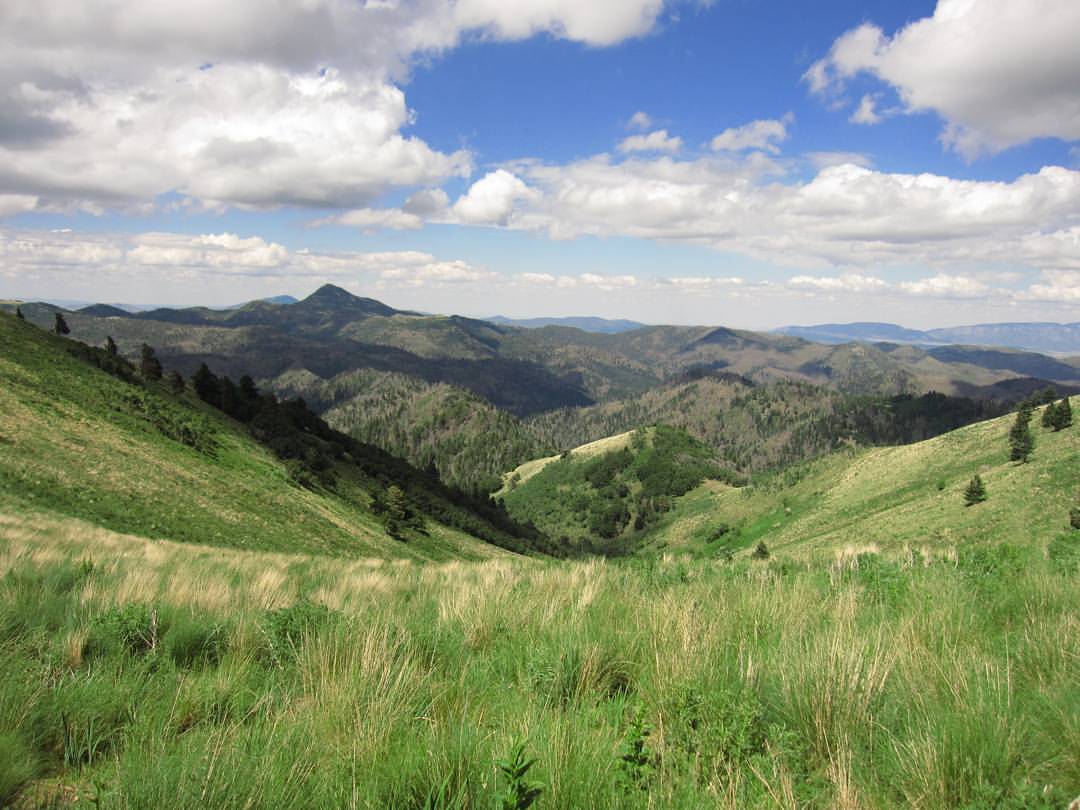
A Scenic Drive Through the Black Sticks

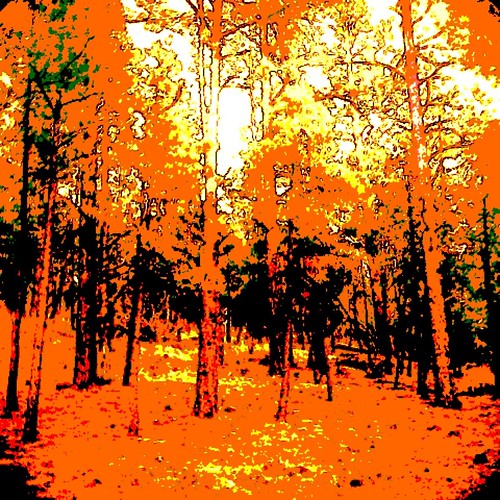
Fire Scars

View of the Mountain Gods
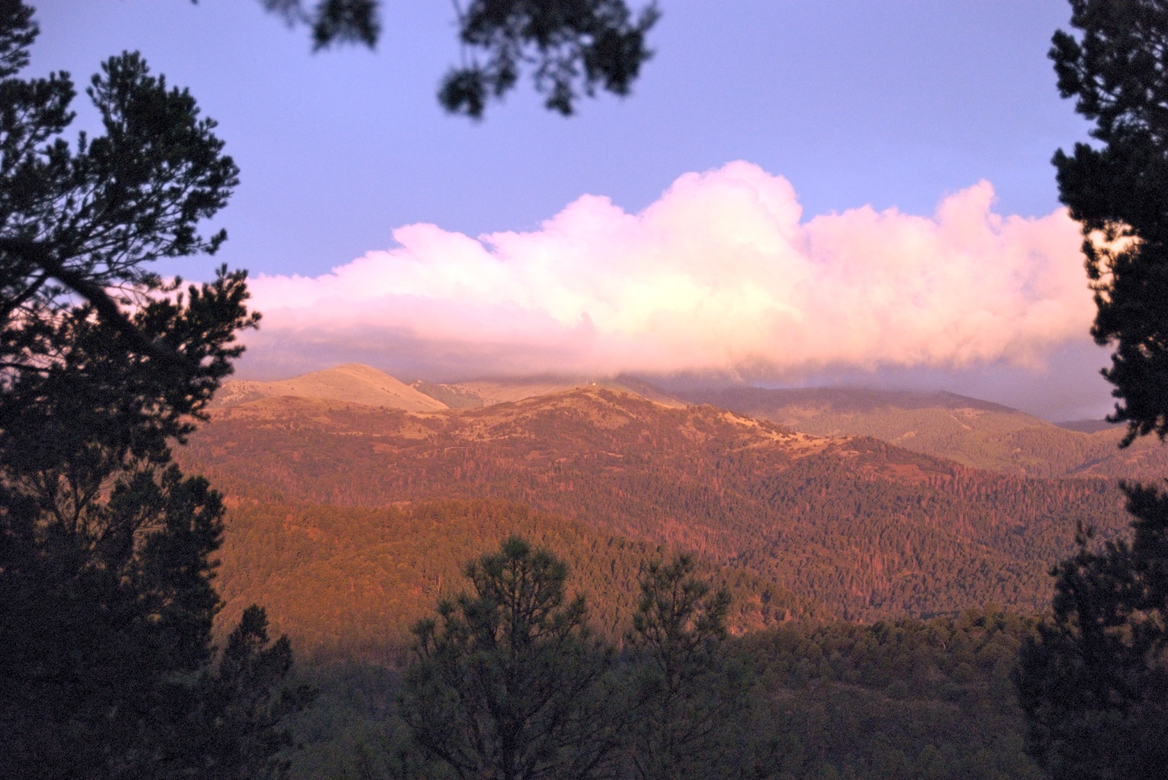
View From Ruidoso

View From Sierra Blanca

Sierra Blanca peak

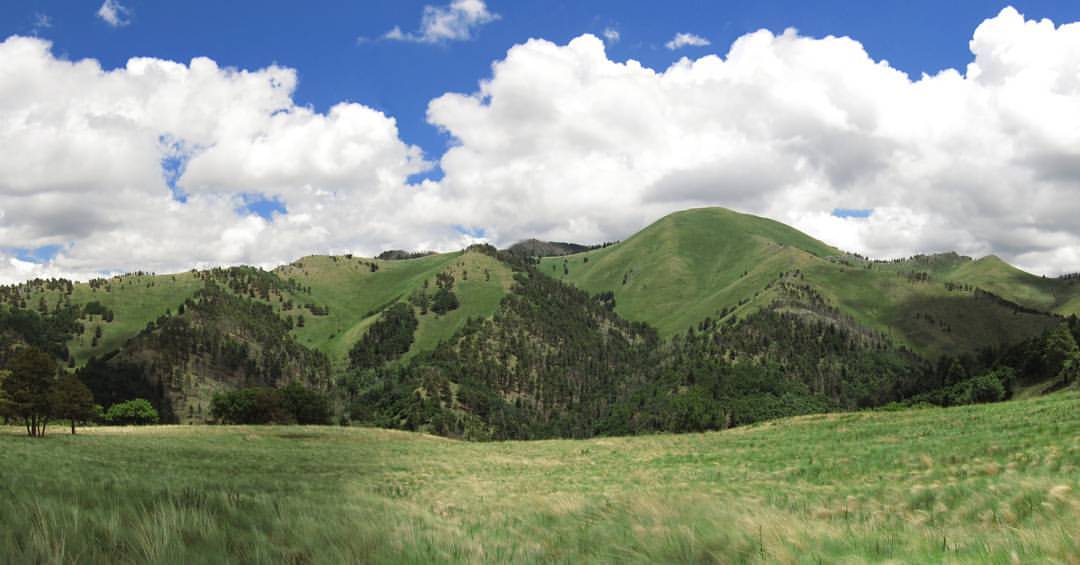
Beautiful view
A view of the slopes to the East.

My view right now.

Sierra Blanca peak

Sierra Blanca Vista
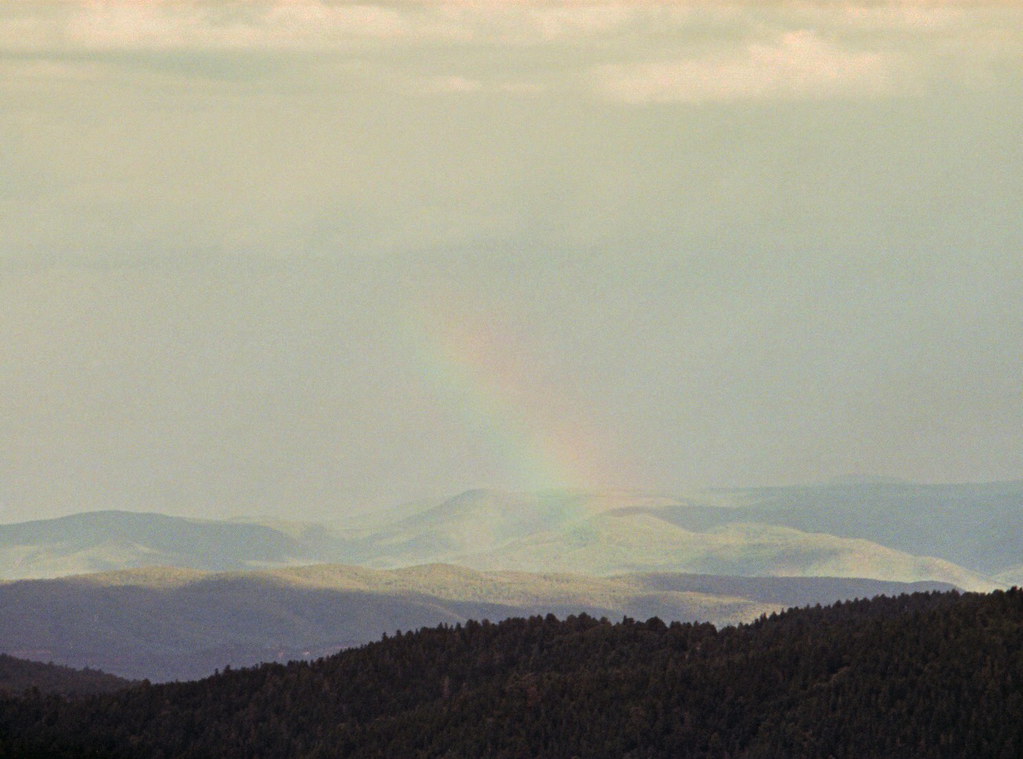
Rainbow range

Rainbow range revisited
Easter Morning in the Mountains
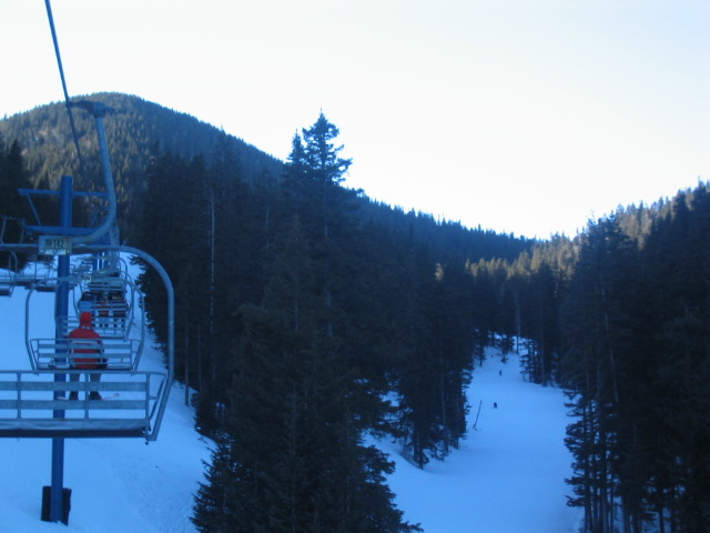
View from the lift
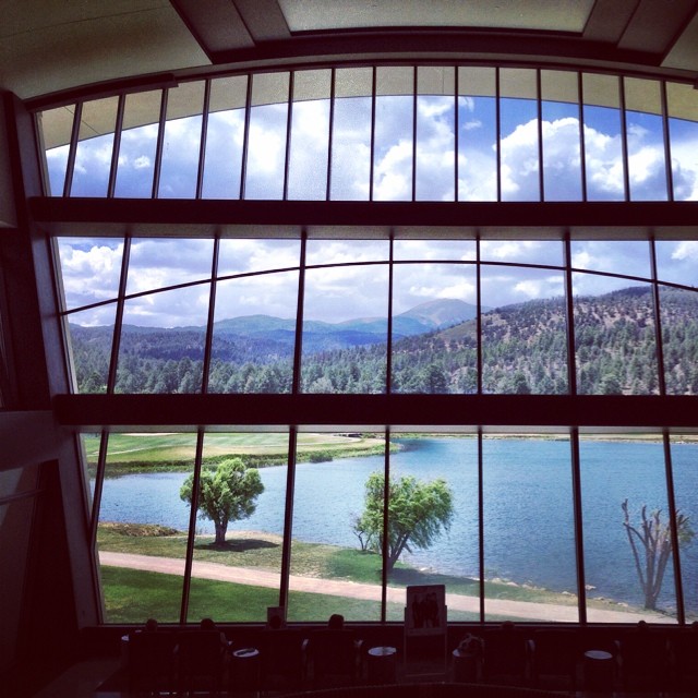
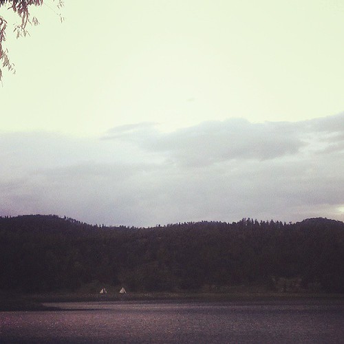
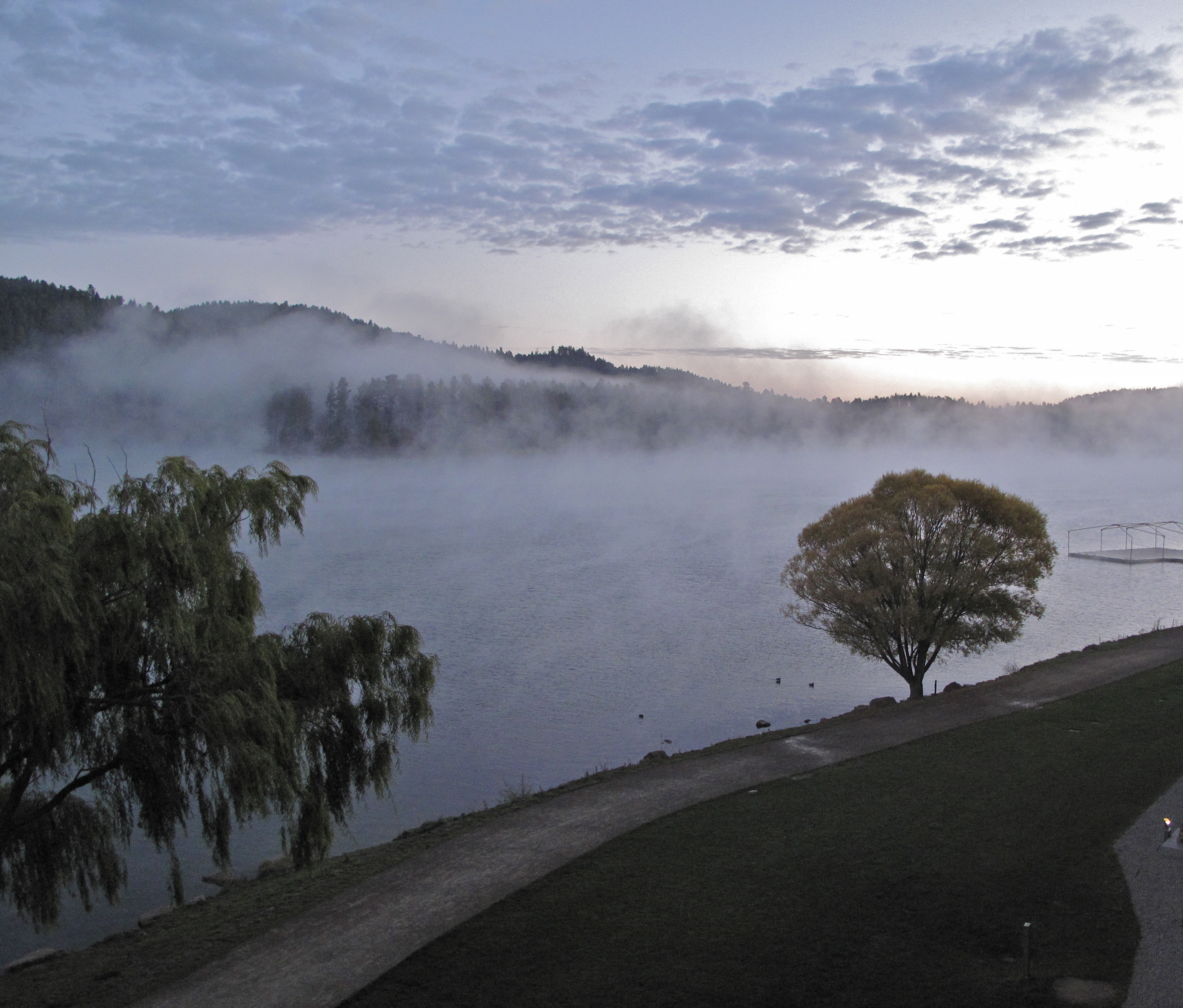
A view of the lake and the mountains from the hotel lobby.

View from Lookout Point
What a view...
View from the parking lot
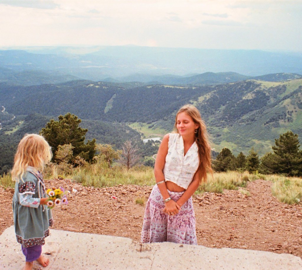
Enjoying the moment

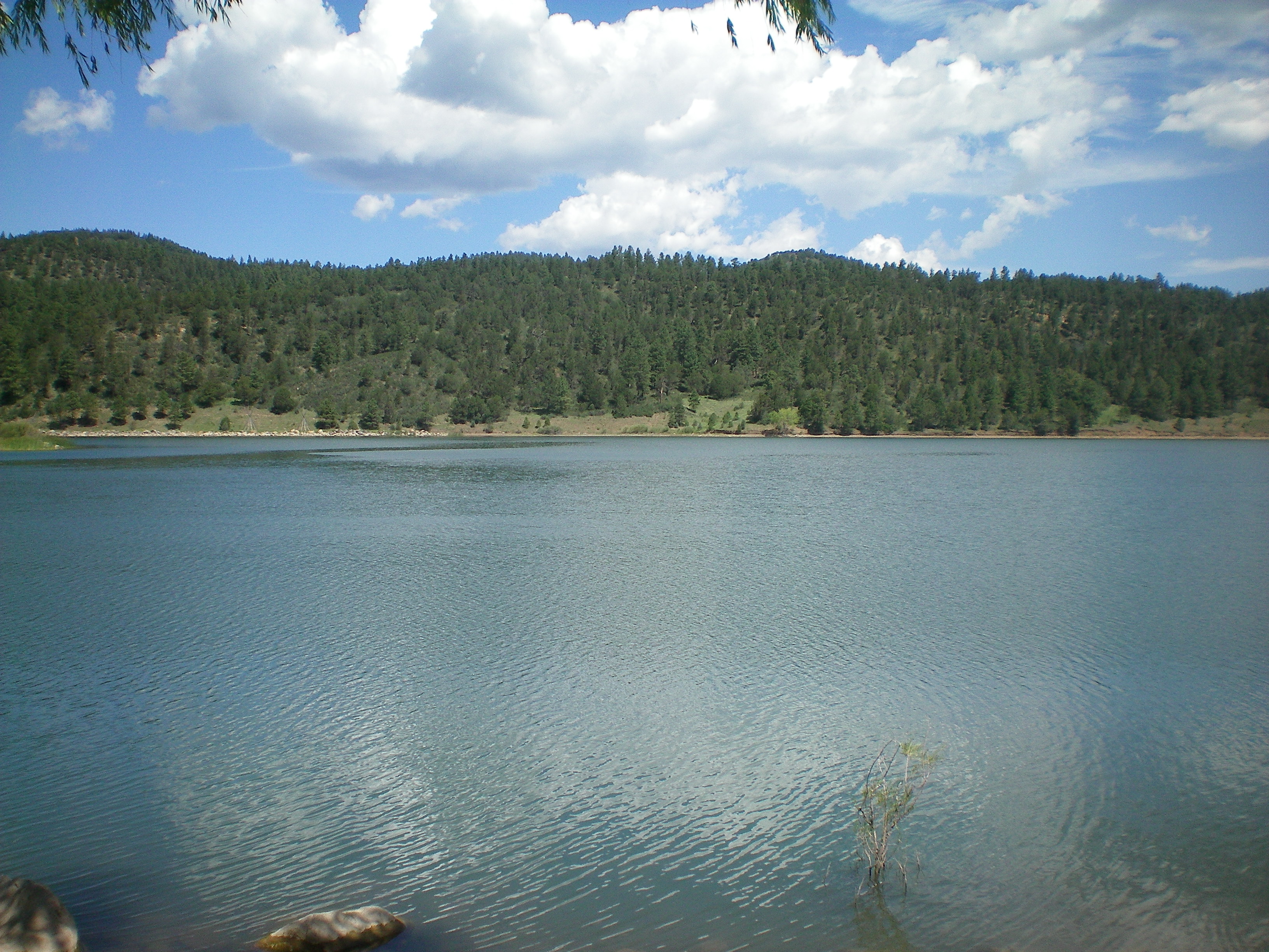
BonitaLake2013#2

1ds2-7802
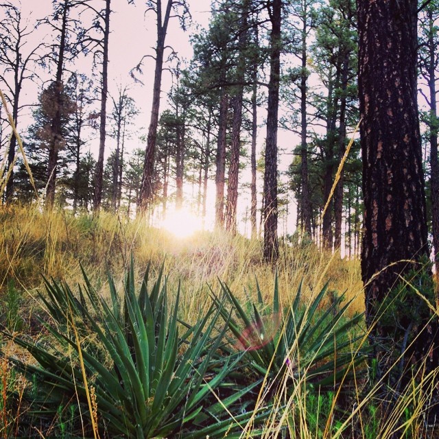
Sunset through the forest.
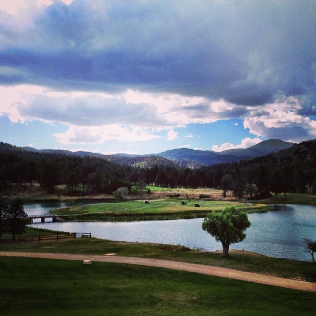
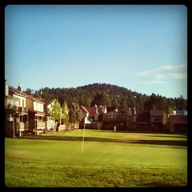
Golf by the lake. I don't play, but if I did...
Innsbrook Village

1ds2-7798

Tularosa Valley

IMG_0407.JPG

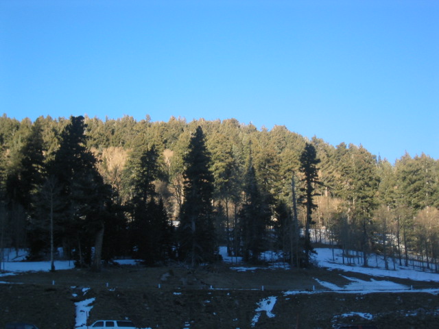
Lincoln National Forest, NM
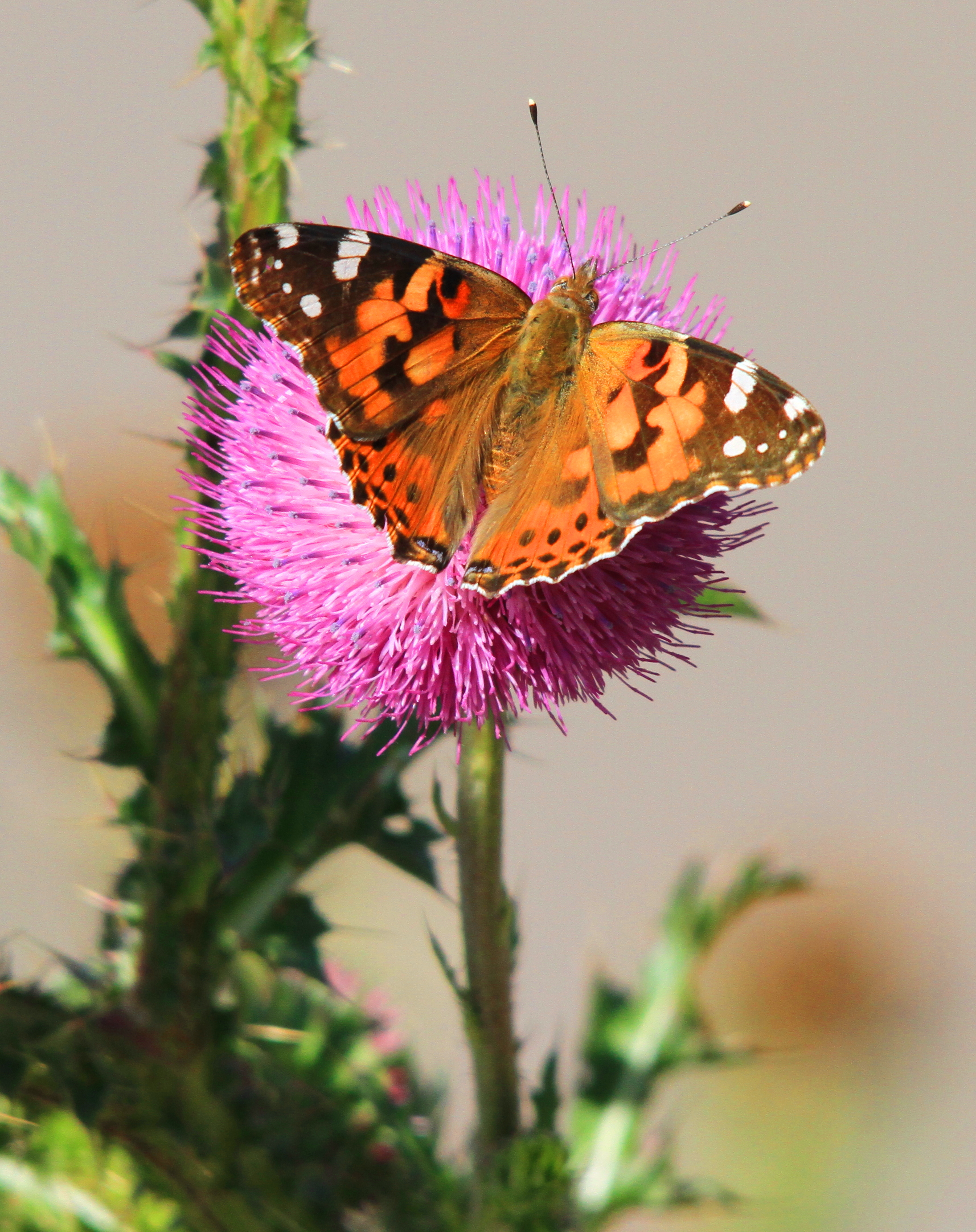
Painted Lady
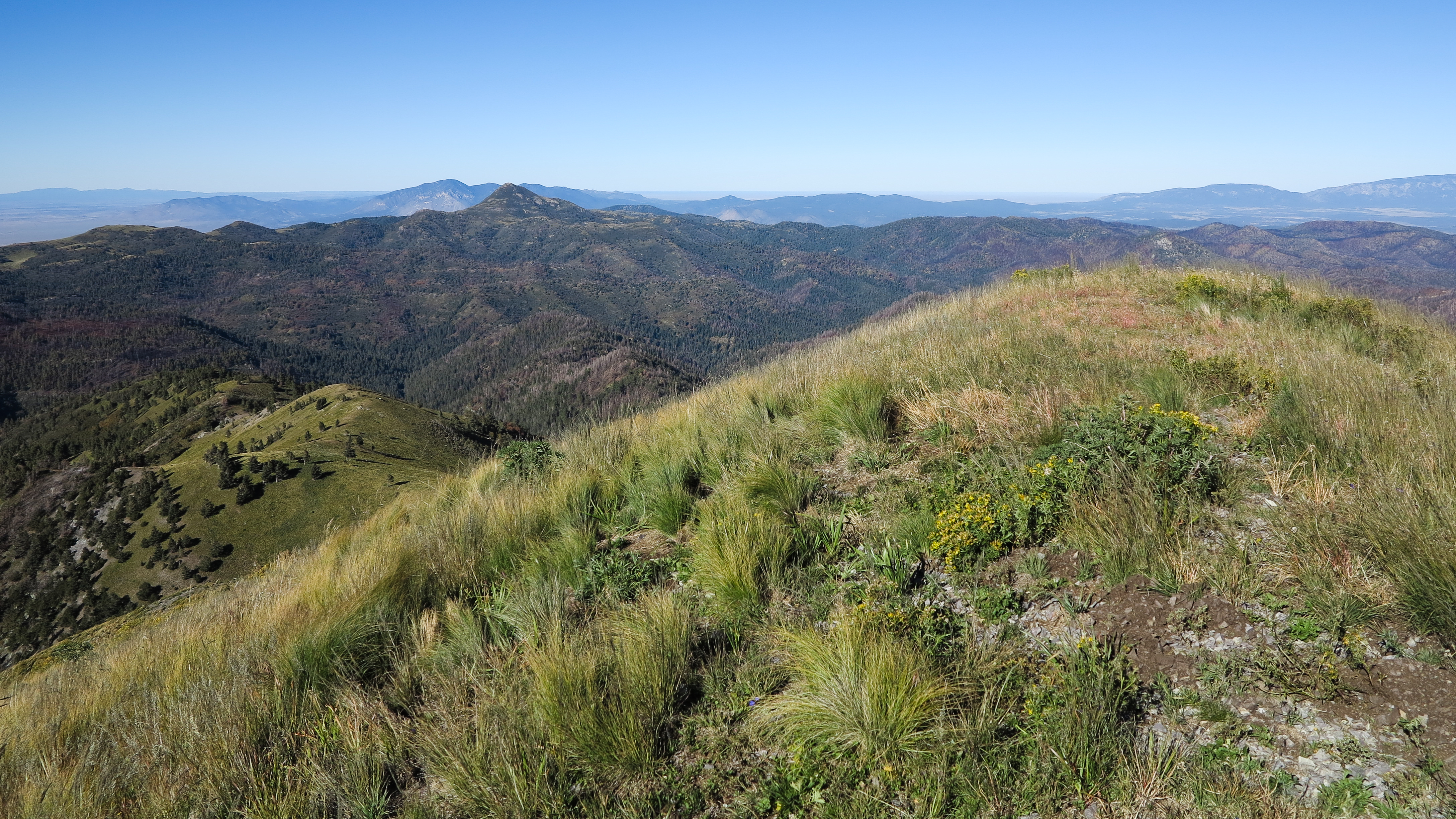
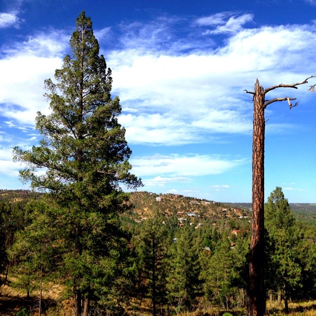
views from White Horse Hill
Bonito Valley with Nogal Peak
White Horse Hill
After the Deer
Inn of the Mountain Gods
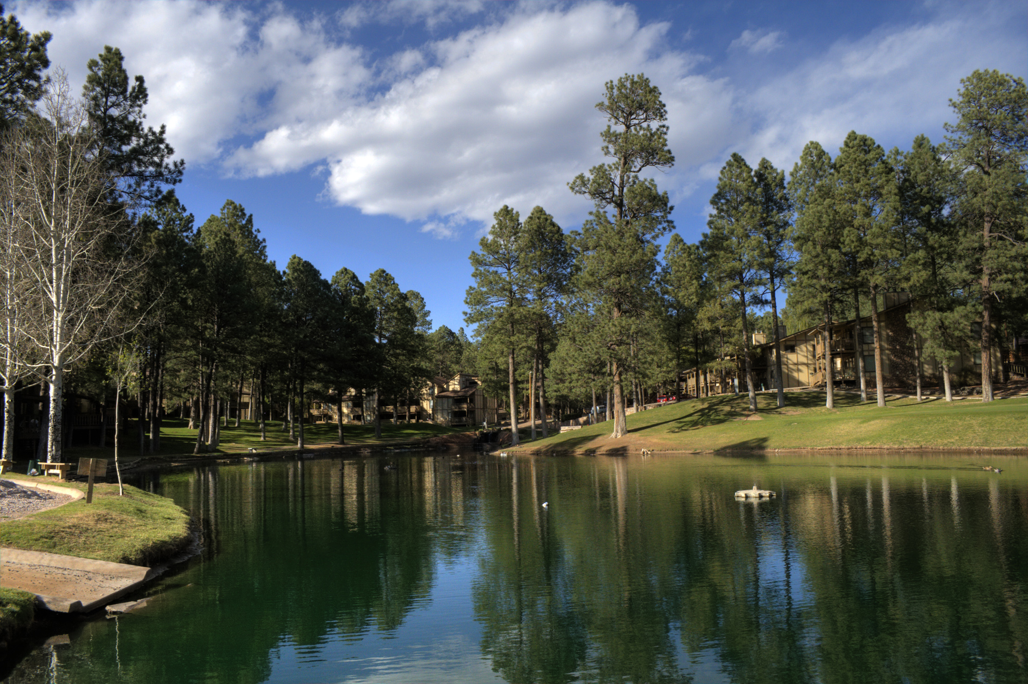
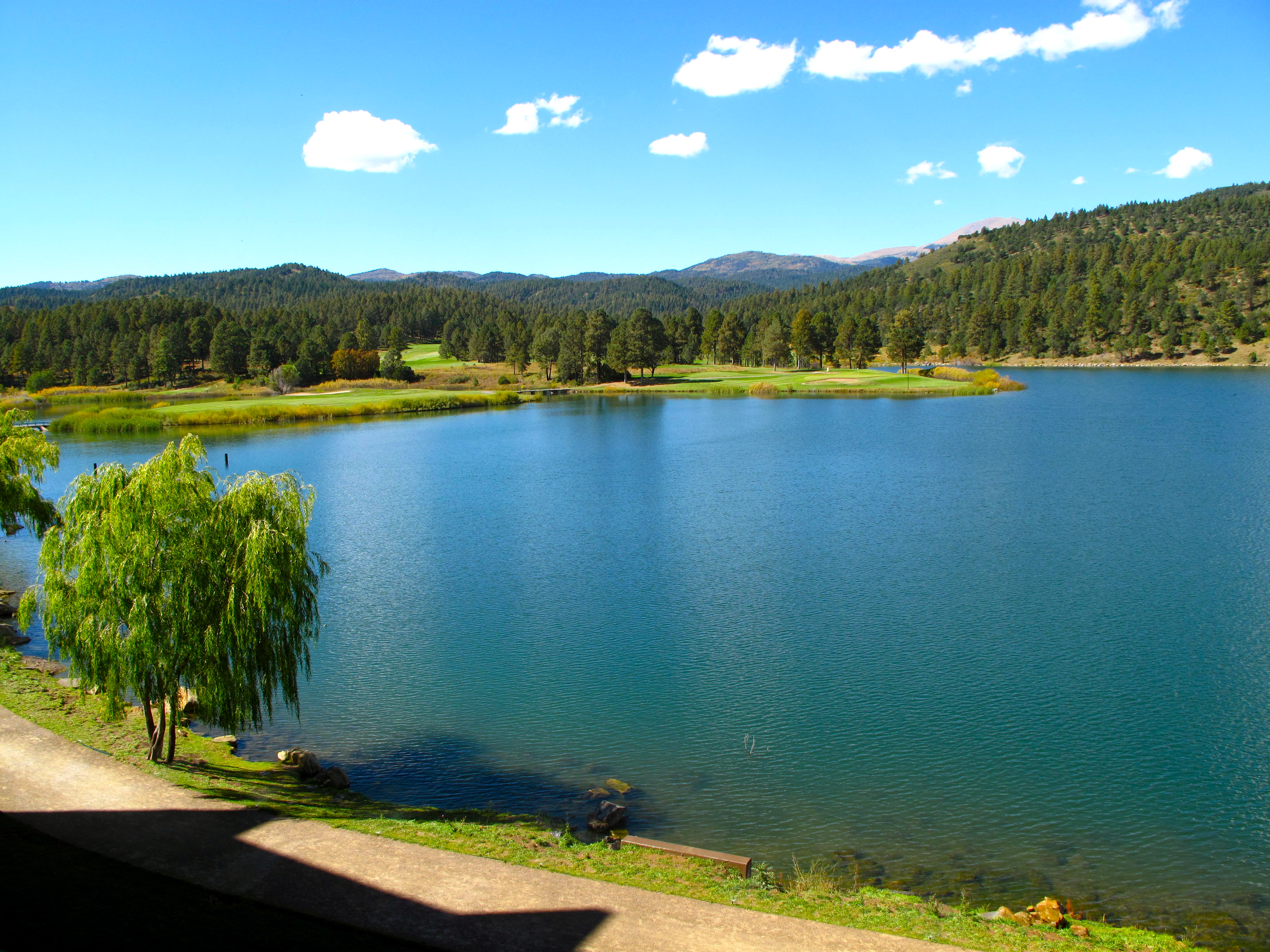
Lake at Inn of the Mountain Gods
Inn of the Mountain Gods
Topographic Map of Ski Apache, Ski Run Rd, Alto, NM, USA
Find elevation by address:

Places near Ski Apache, Ski Run Rd, Alto, NM, USA:
Lookout Mountain
Sierra Blanca Peak
118 N Loop Rd
106 Toboggan Trail
300 Forest Ln
116 Alhambra Dr
NM-48, Alto, NM, USA
120 Whirlaway Dr
201 Lake Shore Dr
103 Abbey Pl
130 Ebarb Dr
126 Ebarb Dr #0
126 Ebarb Dr #0
431 Main Rd
Forrest Road
422 Main Rd
241 Yellow Pine Rd
410 Main Rd
620 1st St
200 Sequoia Dr
Recent Searches:
- Elevation of Congressional Dr, Stevensville, MD, USA
- Elevation of Bellview Rd, McLean, VA, USA
- Elevation of Stage Island Rd, Chatham, MA, USA
- Elevation of Shibuya Scramble Crossing, 21 Udagawacho, Shibuya City, Tokyo -, Japan
- Elevation of Jadagoniai, Kaunas District Municipality, Lithuania
- Elevation of Pagonija rock, Kranto 7-oji g. 8"N, Kaunas, Lithuania
- Elevation of Co Rd 87, Jamestown, CO, USA
- Elevation of Tenjo, Cundinamarca, Colombia
- Elevation of Côte-des-Neiges, Montreal, QC H4A 3J6, Canada
- Elevation of Bobcat Dr, Helena, MT, USA