Elevation of Siminoe Rd, Whitewater, CO, USA
Location: United States > Colorado > Whitewater >
Longitude: -108.43851
Latitude: 38.94089
Elevation: 1442m / 4731feet
Barometric Pressure: 85KPa
Elevation Map:
Satellite Map:
Related Photos:

View from bathroom
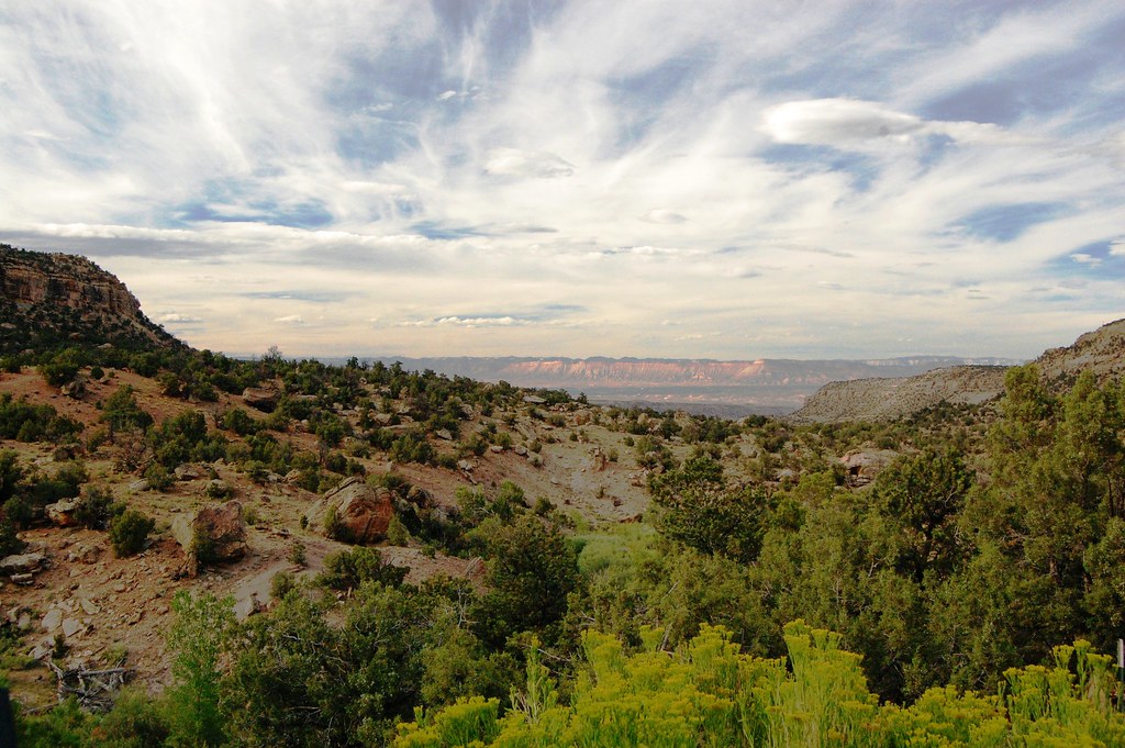
Western Slope Scenery

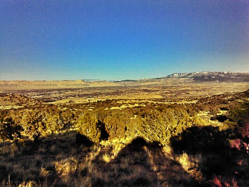
Early morning high desert
Heading for the Grand Mesa (DTA_5701)

North of Delta
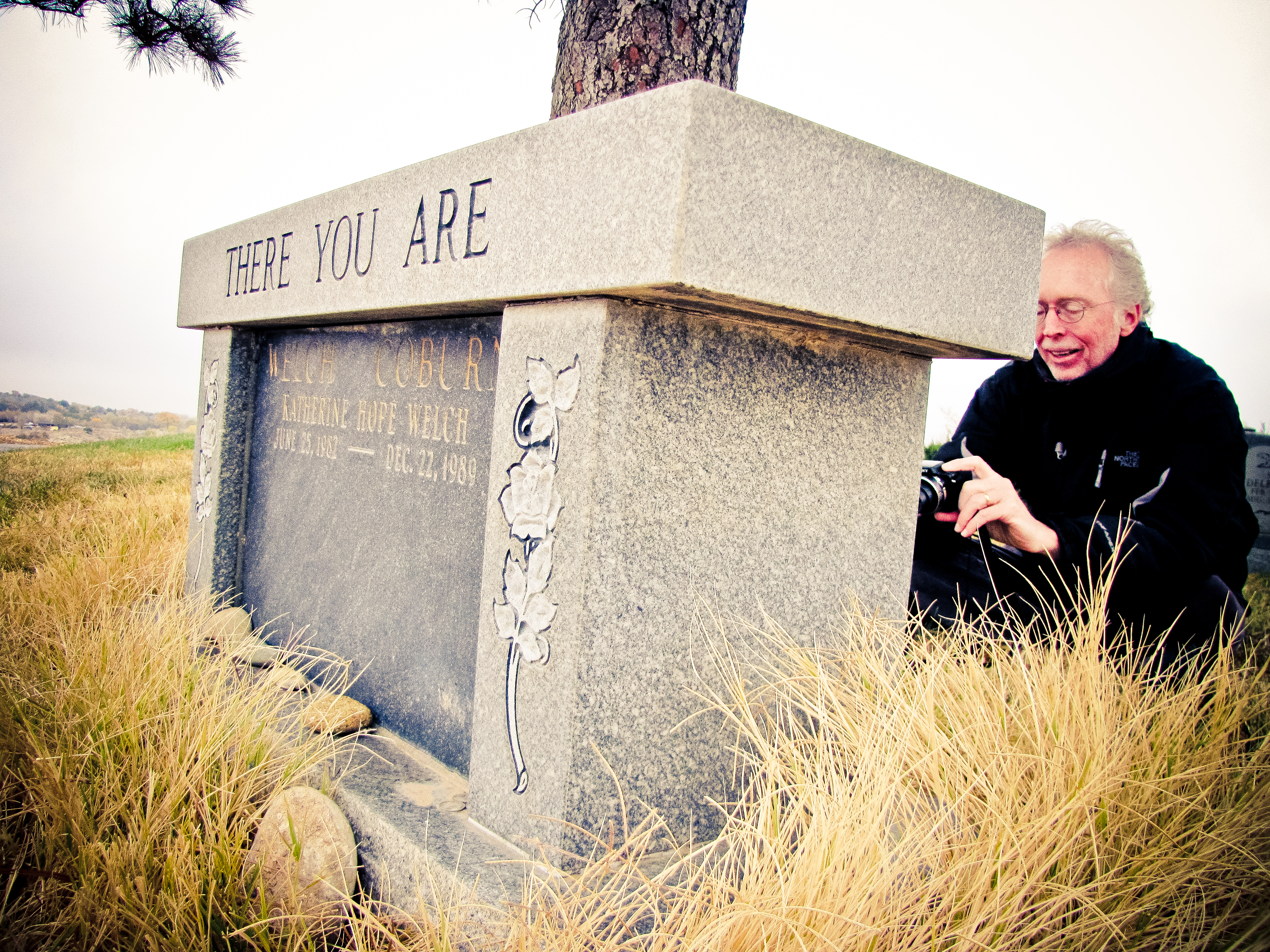
"You Are Here"
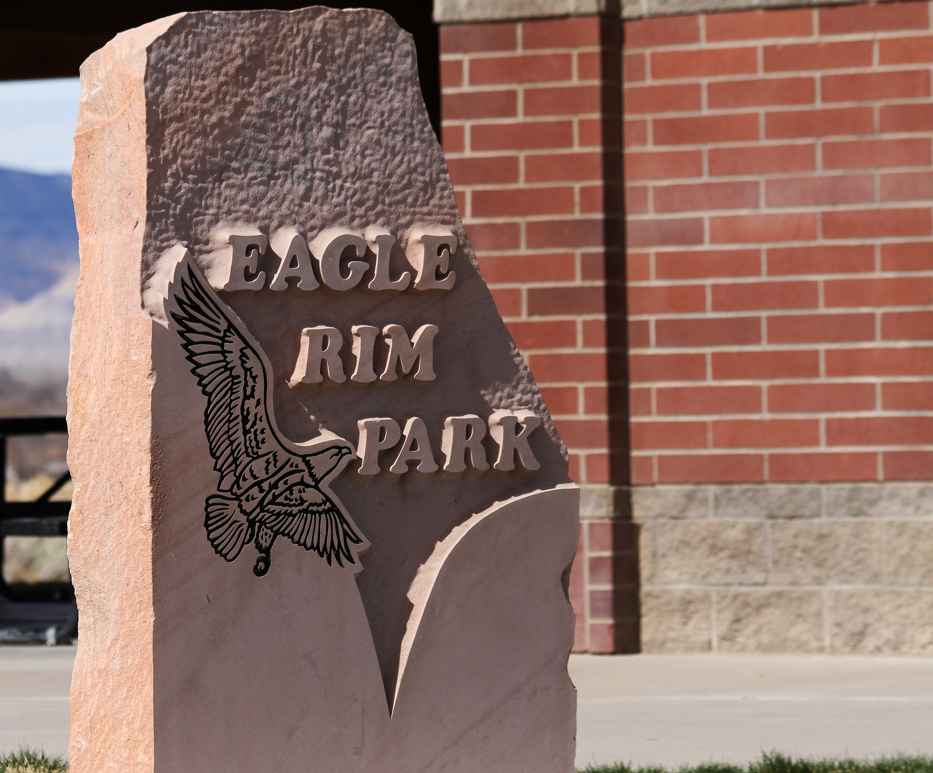
Eagle Rim Park

What a great morning here at Canyon View with friends and kids at the GMIT!! #soccer #tournament #gmit @gjfirefc
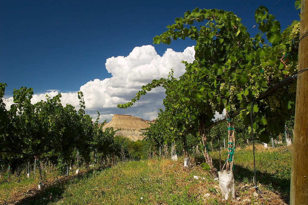
Grapes, Clouds and Blue Skies
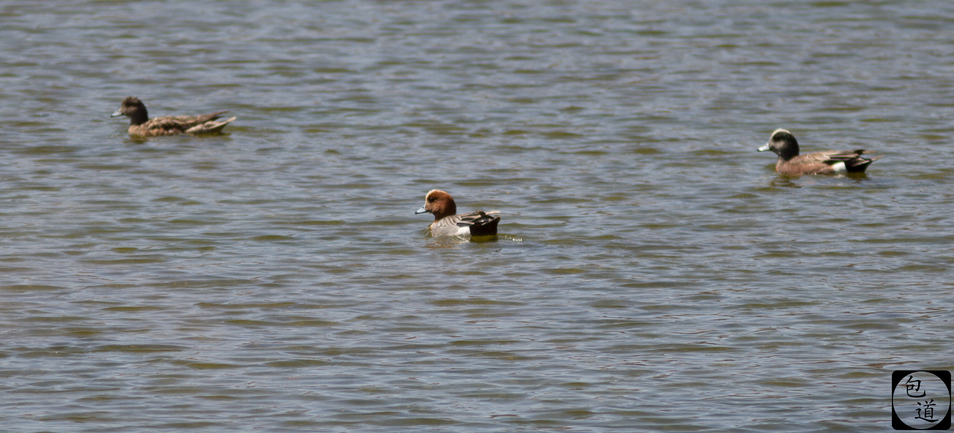
Eurasian Wigeon
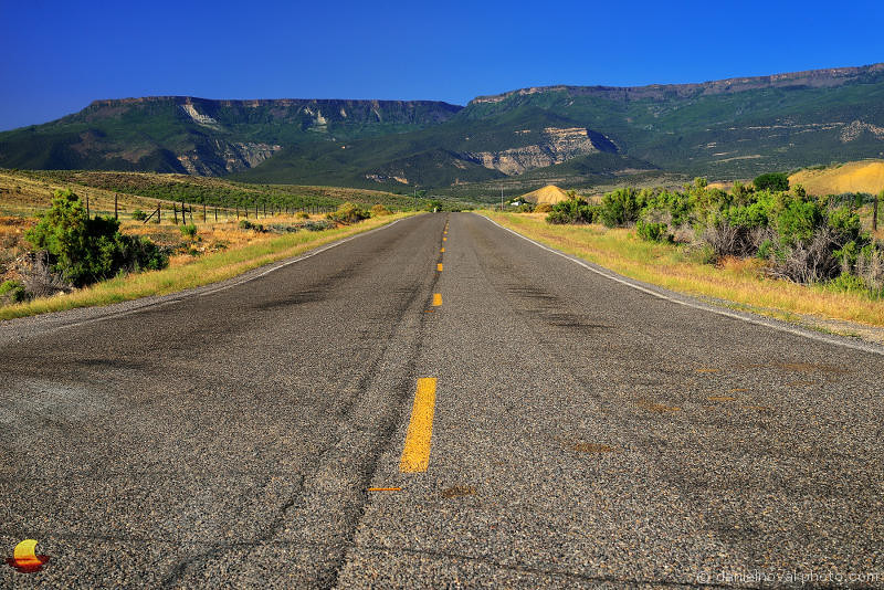
Road to the Grand Mesa (DTA_5704)

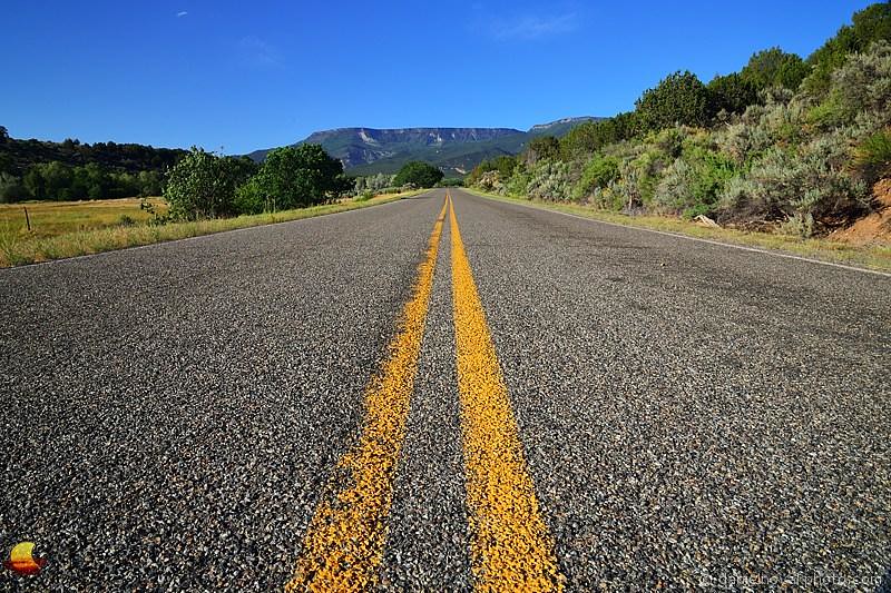
View from Divide Road

I suppose he wanted a view

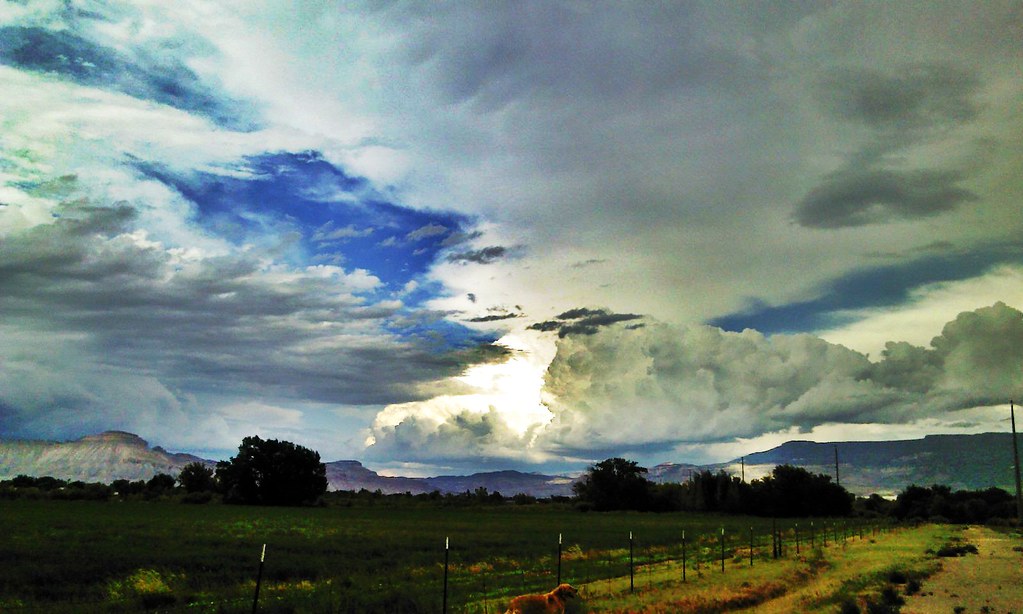
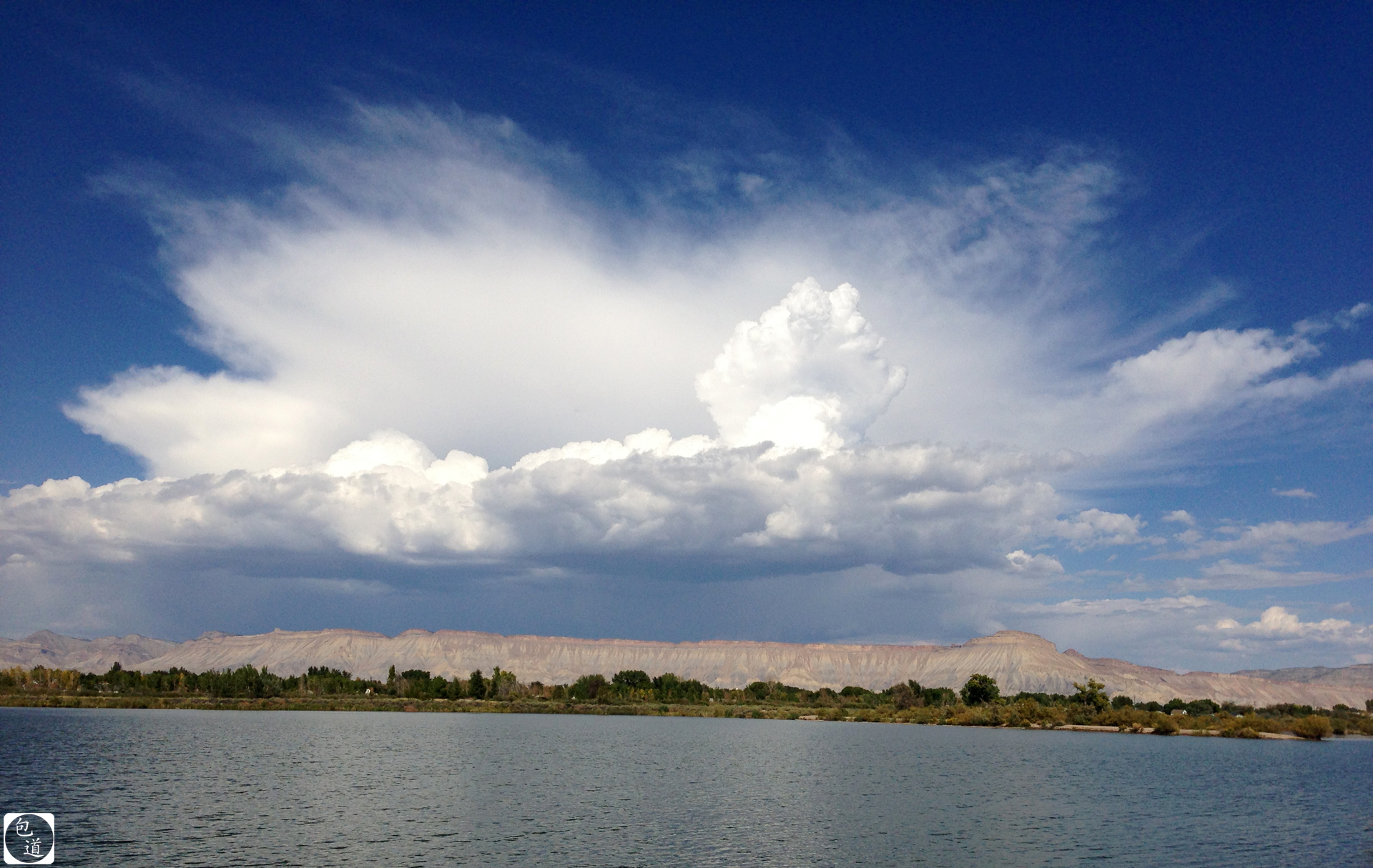
Monsoons in Mesa County #Colorado #COwx #GJCO #ShareGJ

Monsoons in Mesa County #Colorado #COwx #GJCO #ShareGJ

Sunset Duck
The Mesa is one of my favorite things about Grand Junction. ????

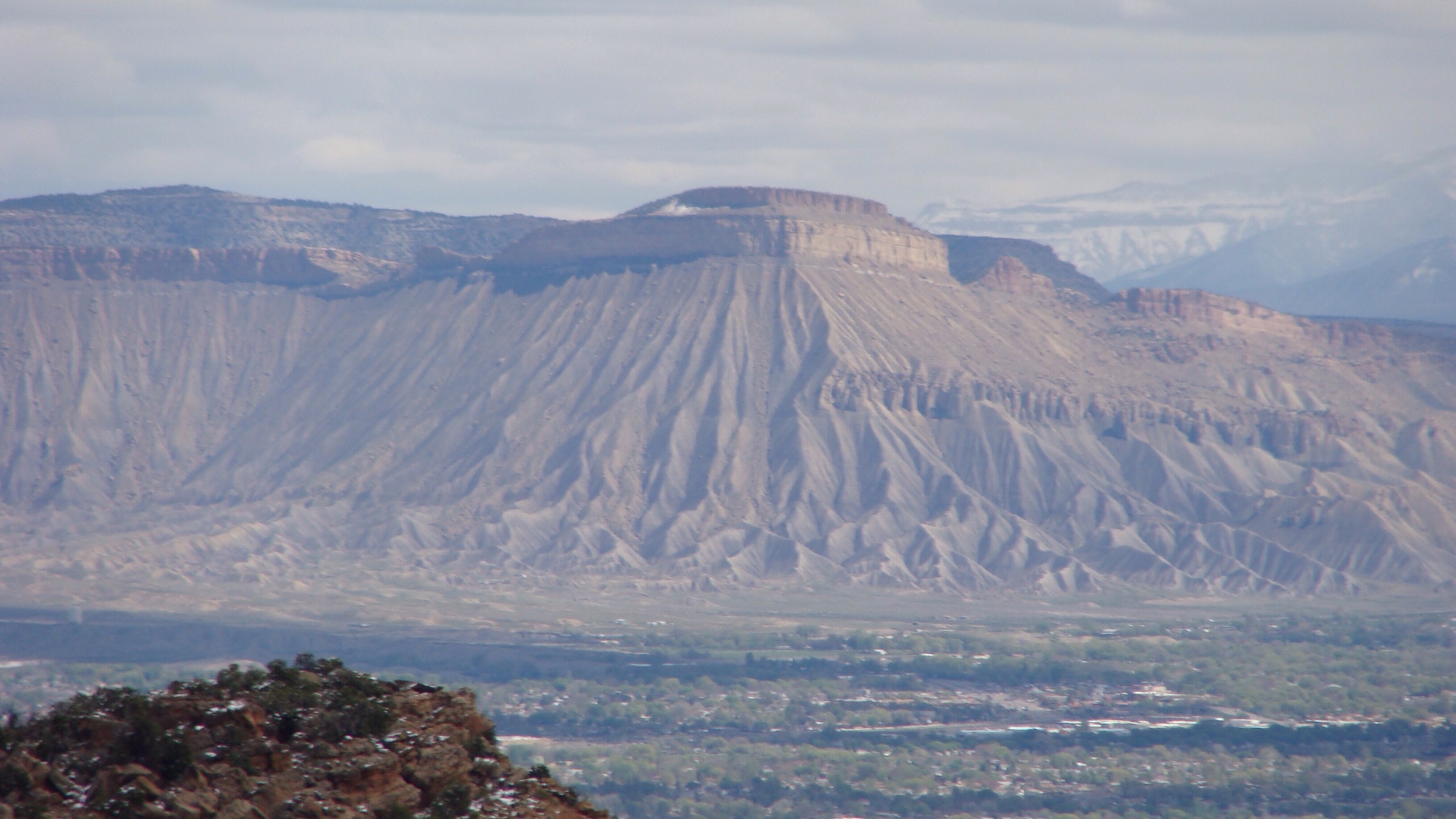
Book Cliffs - Mesa County, Colorado
C360_2013-07-28-18-26-45.jpg
Today is beautiful!!!!

Waterfall in the Desert
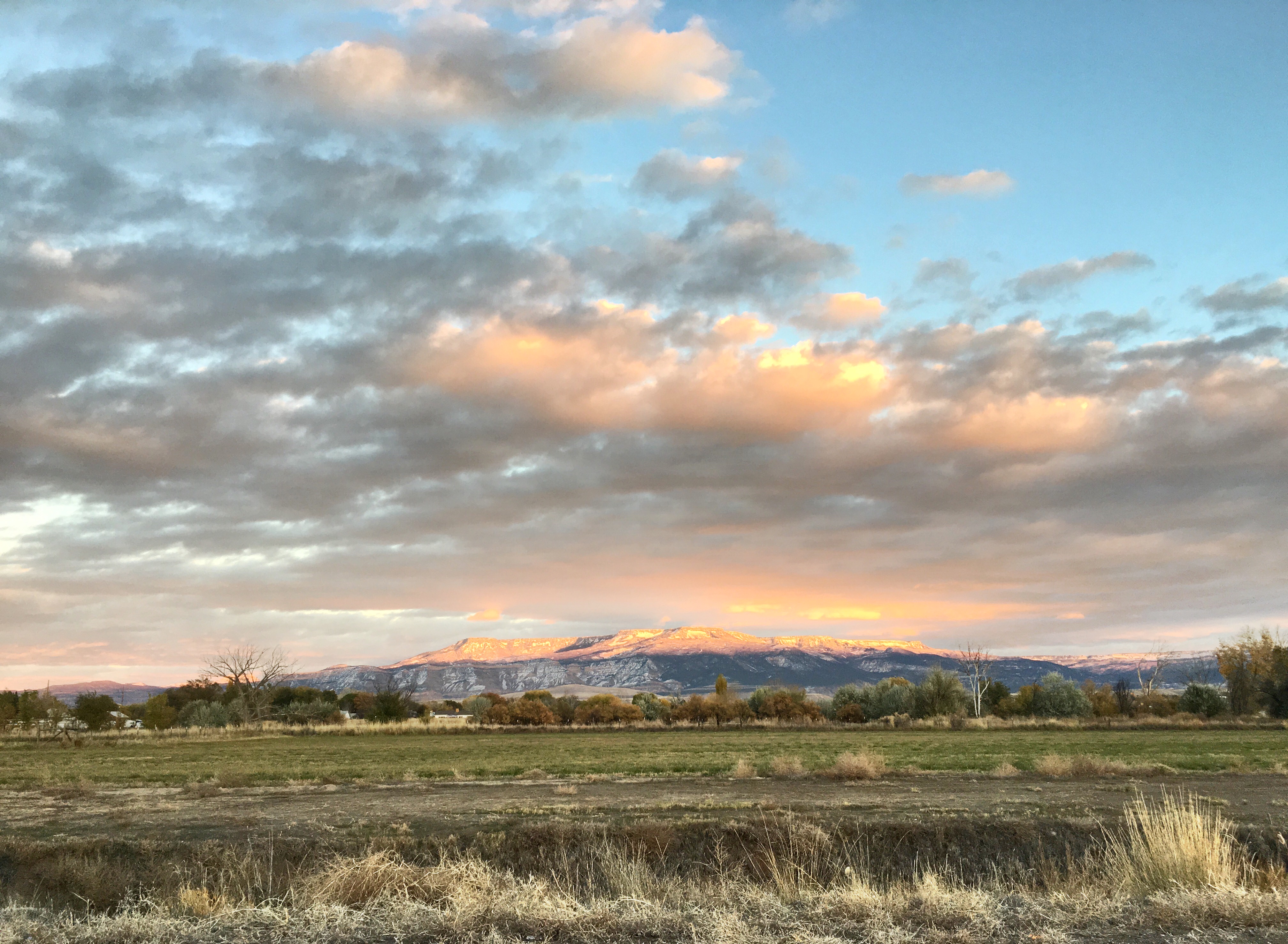
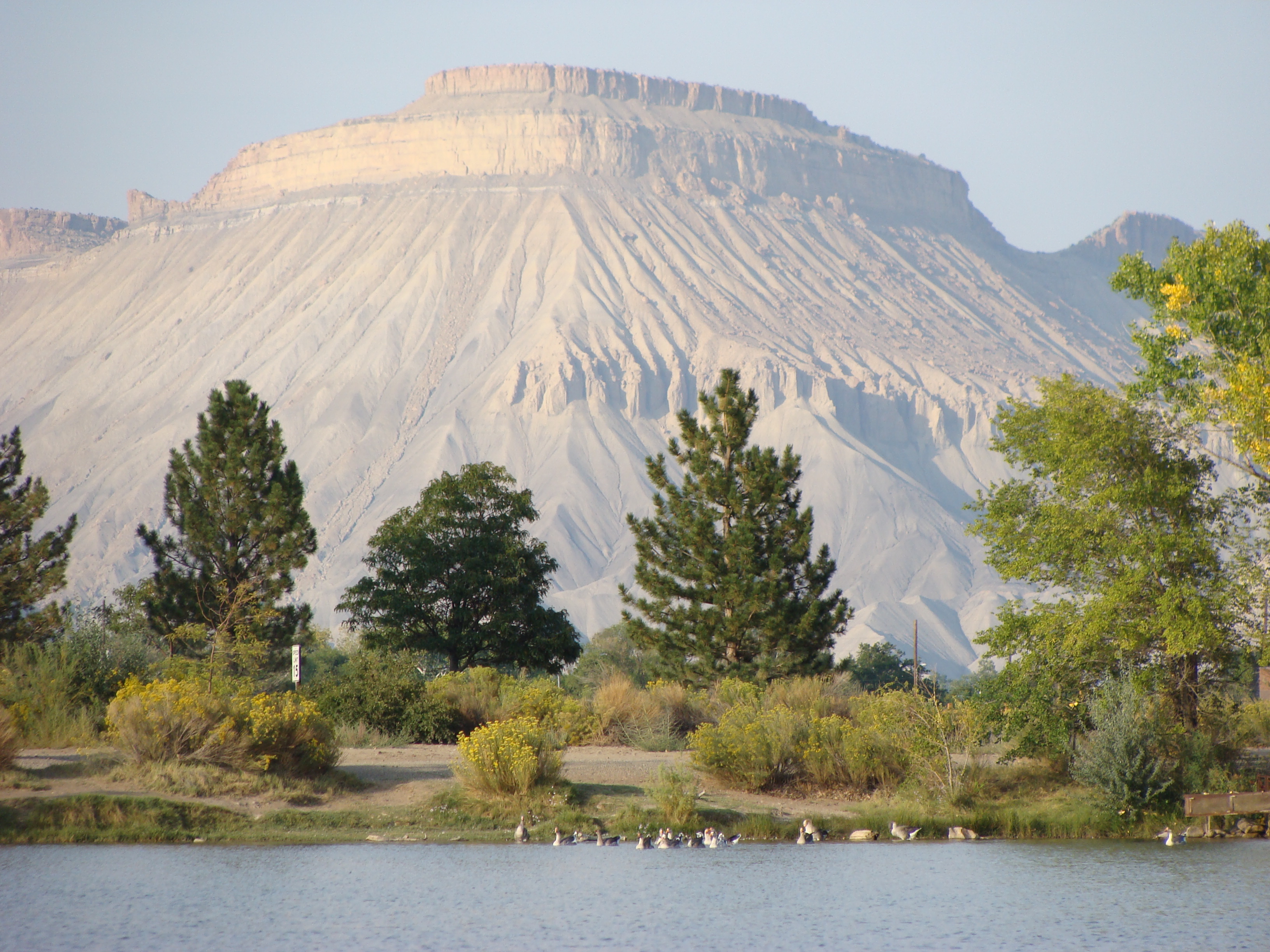
Evening Sun on the Book Cliffs
Storm over Mt. Garfield
From Gunny Loop

Hallenbeck & Juniata Reservoirs

Mancos Landscape
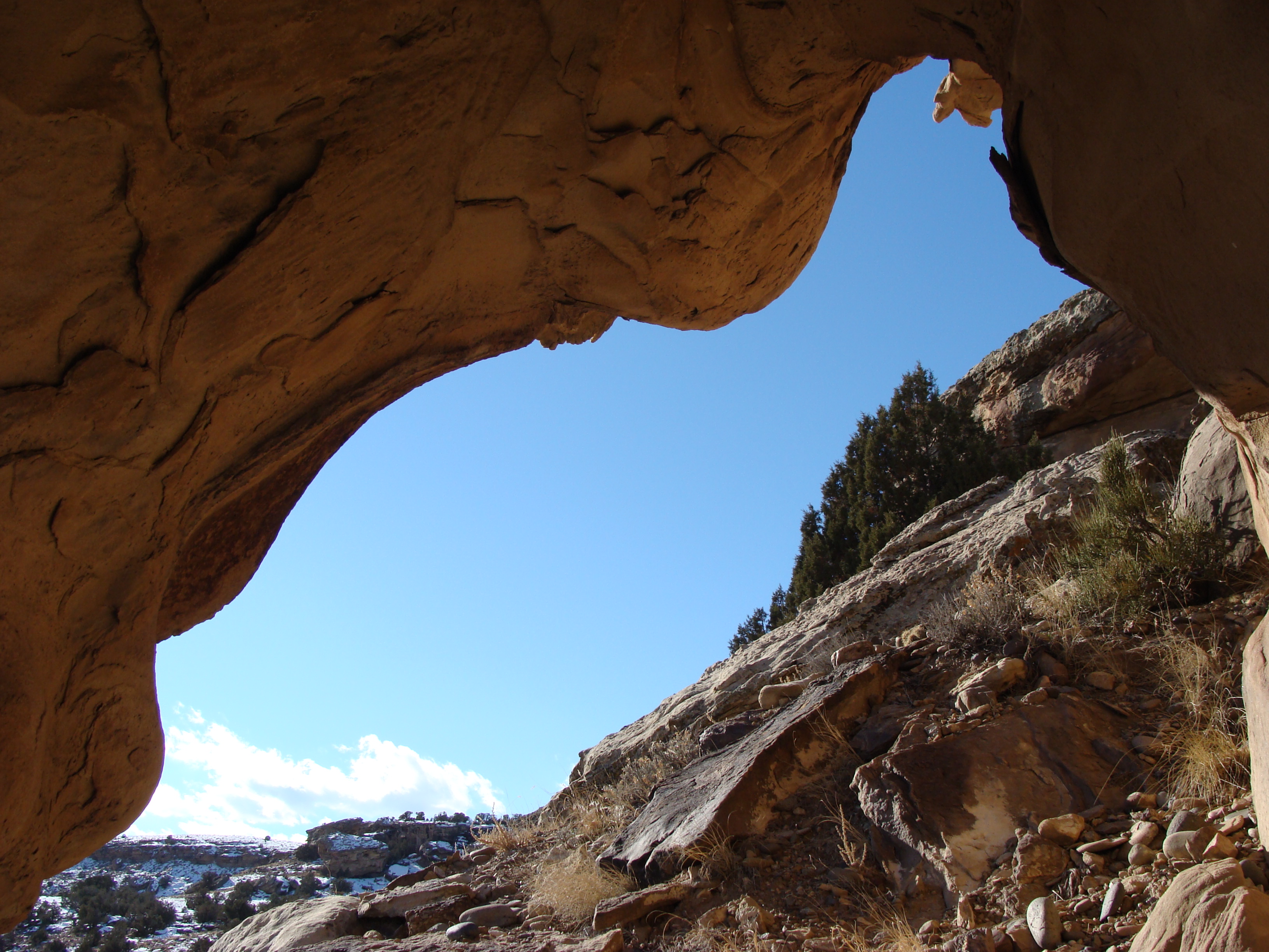
East Creek cave
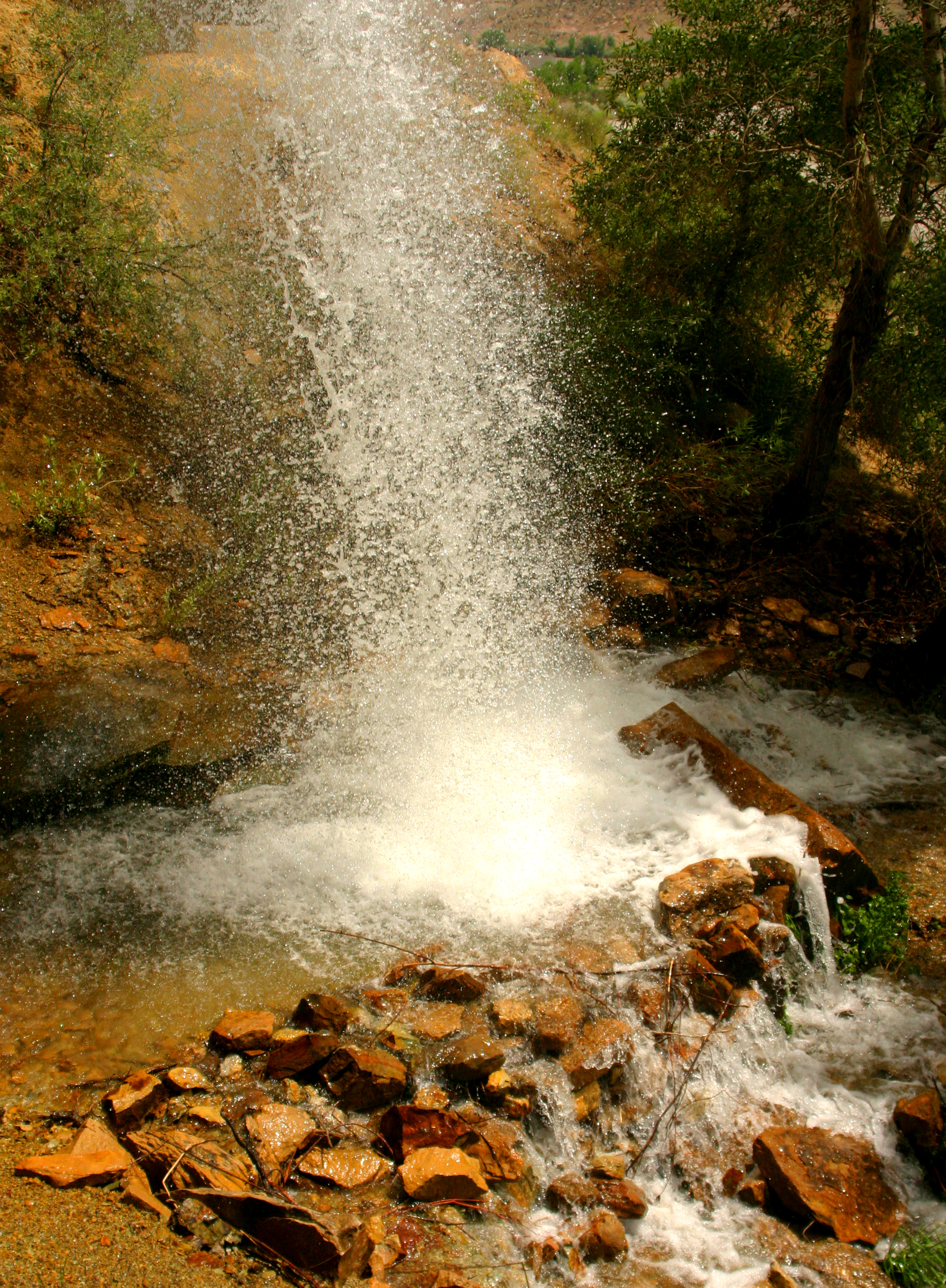
unexpected falls 1
Billings Canyon Jeep Trail
Corn Lake
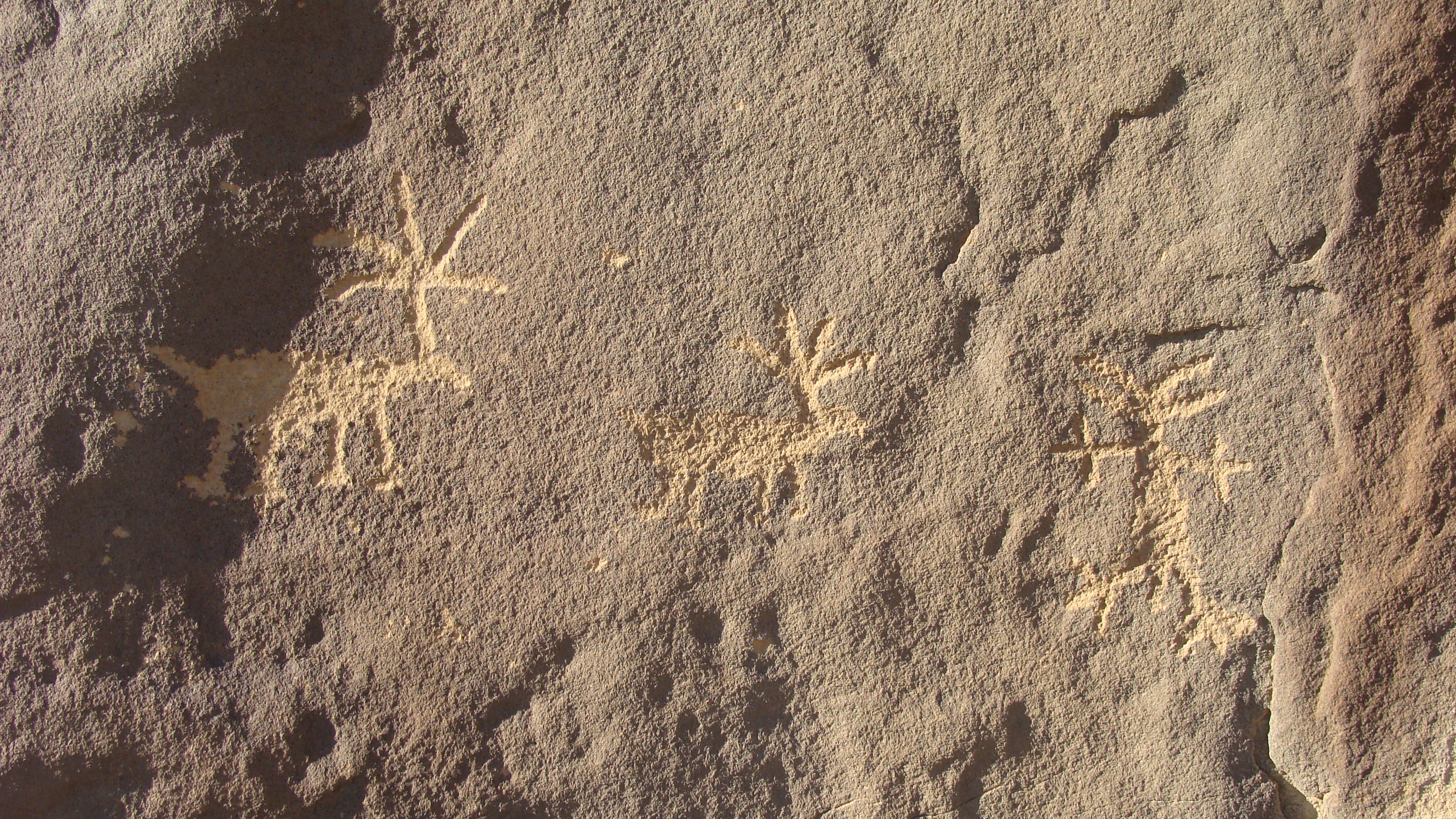
East Creek petroglyphs

Heading for Utah (4)
East Creek raven
Topographic Map of Siminoe Rd, Whitewater, CO, USA
Find elevation by address:

Places near Siminoe Rd, Whitewater, CO, USA:
Bean Ranch Rd, Whitewater, CO, USA
8161 Bean Ranch Rd
Whitewater
3000 Callow Creek Ln
7930 Bean Ranch Rd
Western Colorado Dragway
Lands End Road
382 Blue River Dr
Blue River Drive
185 Rainbow Dr
3110 Keyser Ct
2851 Tyndale Ct
250 Divide Rd
2872 B 1/2 Rd
2877 Bear Canyon Ct
258 Nancy St
3248 D 3/4 Rd
Larrys Meadow Dr, Grand Junction, CO, USA
488 33 Rd
Pear Park
Recent Searches:
- Elevation of W Granada St, Tampa, FL, USA
- Elevation of Pykes Down, Ivybridge PL21 0BY, UK
- Elevation of Jalan Senandin, Lutong, Miri, Sarawak, Malaysia
- Elevation of Bilohirs'k
- Elevation of 30 Oak Lawn Dr, Barkhamsted, CT, USA
- Elevation of Luther Road, Luther Rd, Auburn, CA, USA
- Elevation of Unnamed Road, Respublika Severnaya Osetiya — Alaniya, Russia
- Elevation of Verkhny Fiagdon, North Ossetia–Alania Republic, Russia
- Elevation of F. Viola Hiway, San Rafael, Bulacan, Philippines
- Elevation of Herbage Dr, Gulfport, MS, USA