Elevation of Simikot, Nepal
Location: Nepal > Western Region > Karnali >
Longitude: 81.8333656
Latitude: 29.9862834
Elevation: 4271m / 14012feet
Barometric Pressure: 59KPa
Elevation Map:
Satellite Map:
Related Photos:
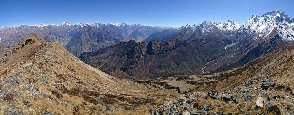
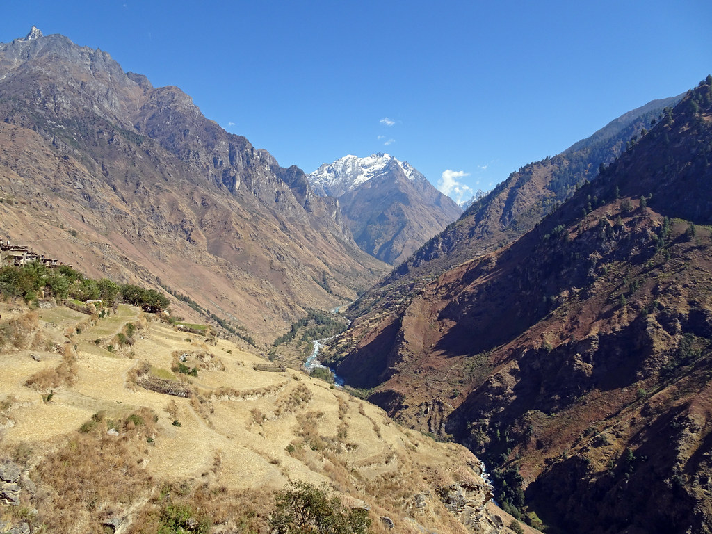
W_Nepal_2803 View from Pk 4507
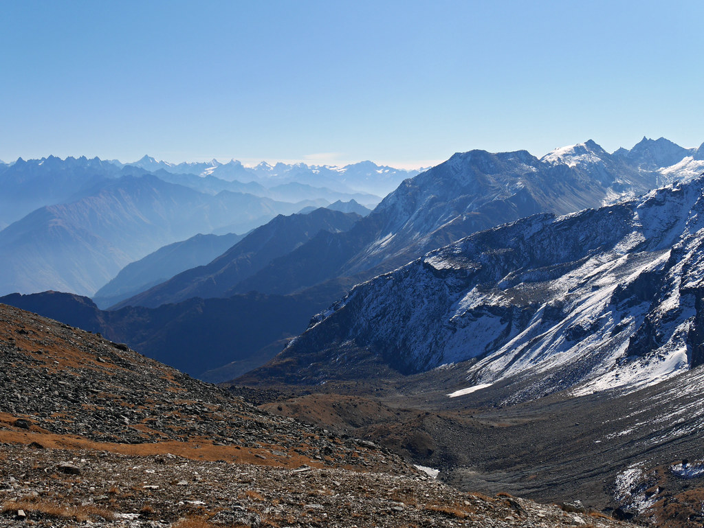
W_Nepal_2788 Pass north of Chhote Lek
W_Nepal_2801 View of Chhote Lek
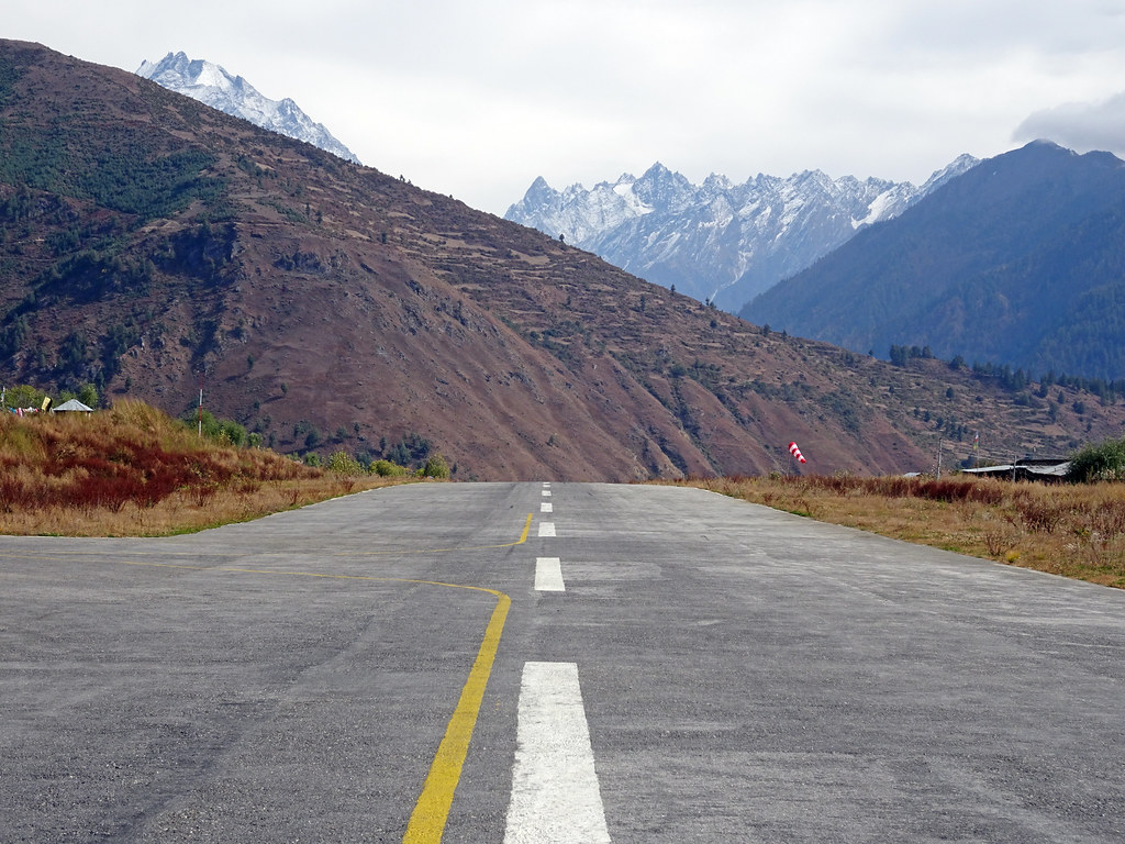
Mugu_2014 Simikot airport .. a pilot's view
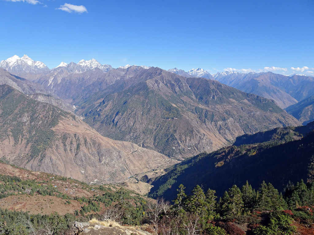
Mugu_2040 Chuwa Khola (near Thehe)
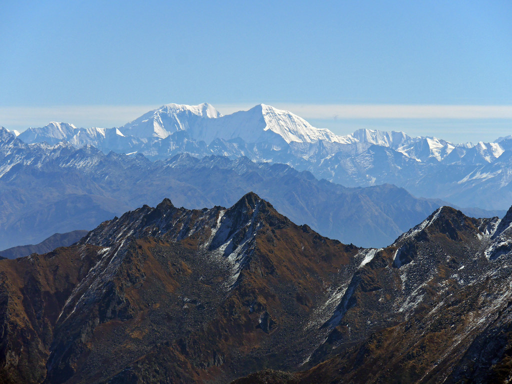
W_Nepal_1523 Distant view of Kade Hiu Chuli and Kanjirowa
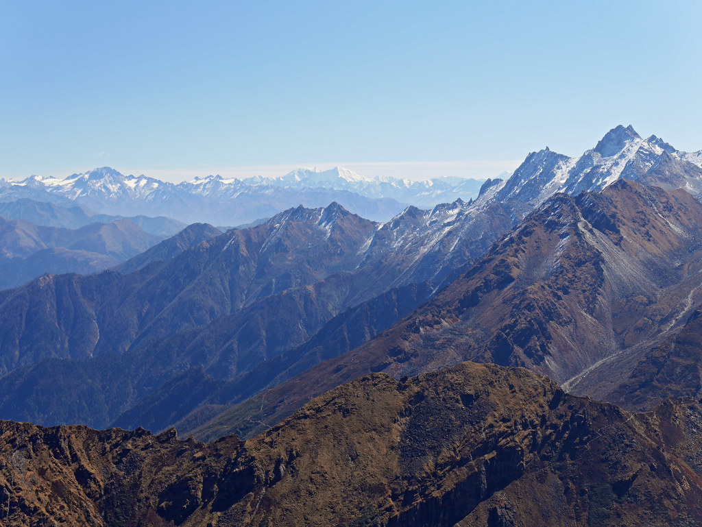
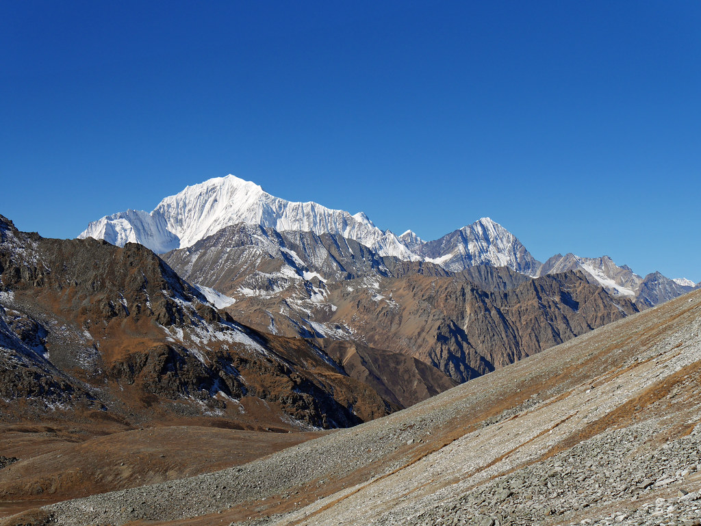
W_Nepal_1519 View from Pk 4507

W_Nepal_1516 View from Pk 4507
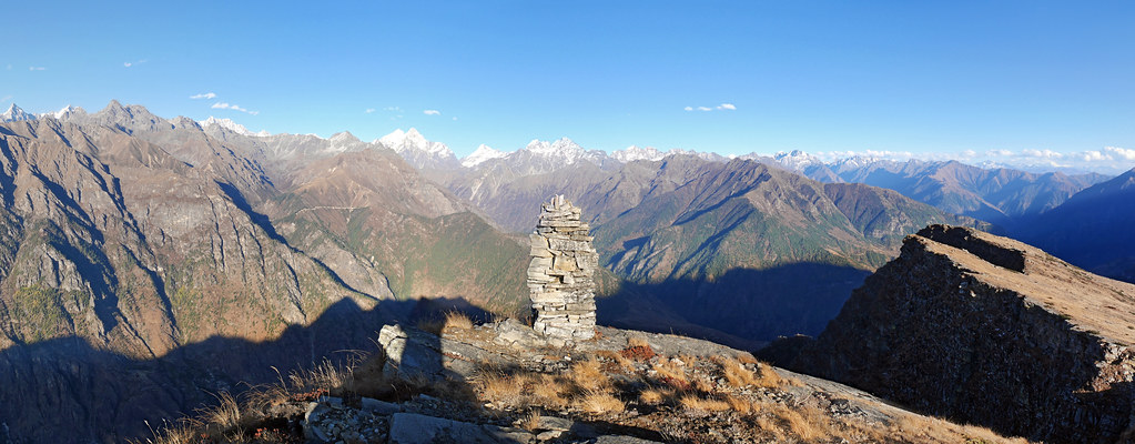
W_Nepal_1520 Chhote Lek from Pk 4507
W_Nepal_1514 View to SE from Chhote Lek
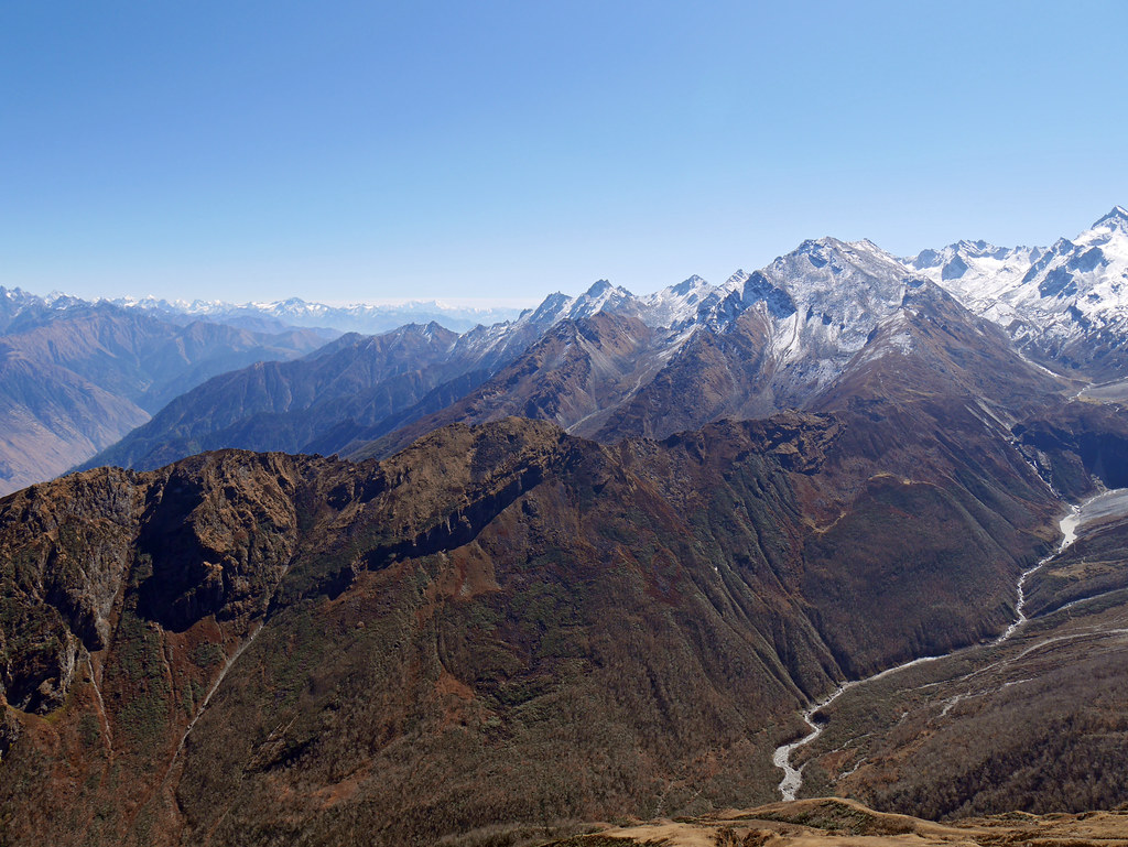
W_Nepal_1536-42 View across Humla Karnali valley from Dumbe Lek
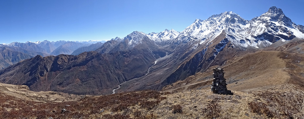
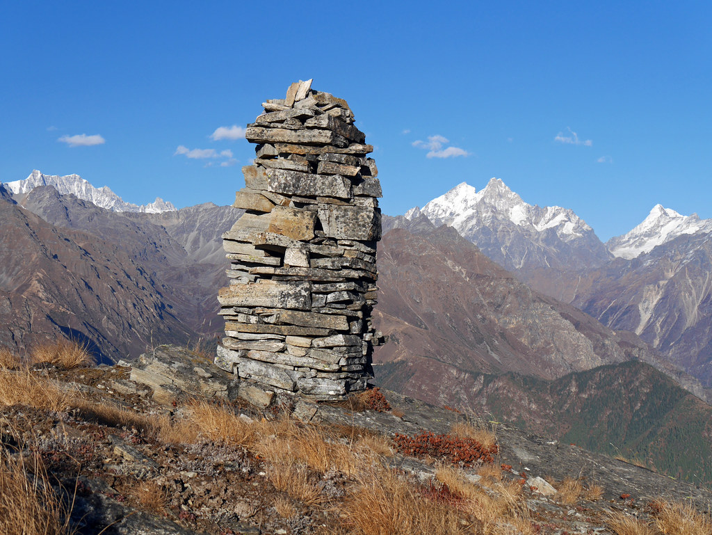
W_Nepal_1507 Eastern side of pass across Chhote Lek
W_Nepal_2809 View down Humla Karnali valley from Chhoila Tal

W_Nepal_1540 View across Humla Karnali valley from Dumbe Lek
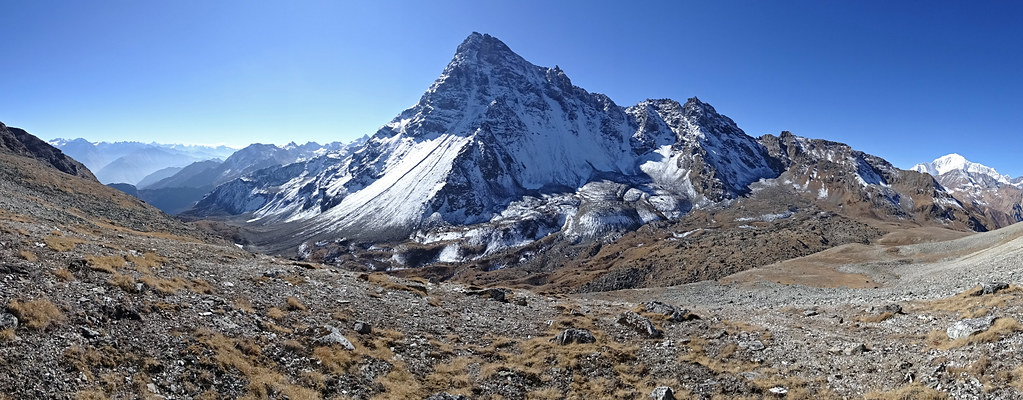
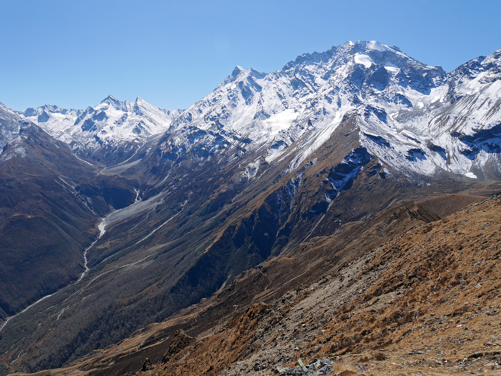
W_Nepal_1497 Saipal Chuli
W_Nepal_1531 View across Humla Karnali valley from Dumbe Lek
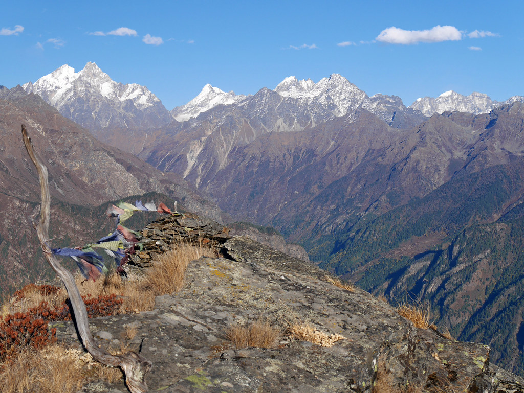
W_Nepal_1526 View across Humla Karnali valley from Dumbe Lek
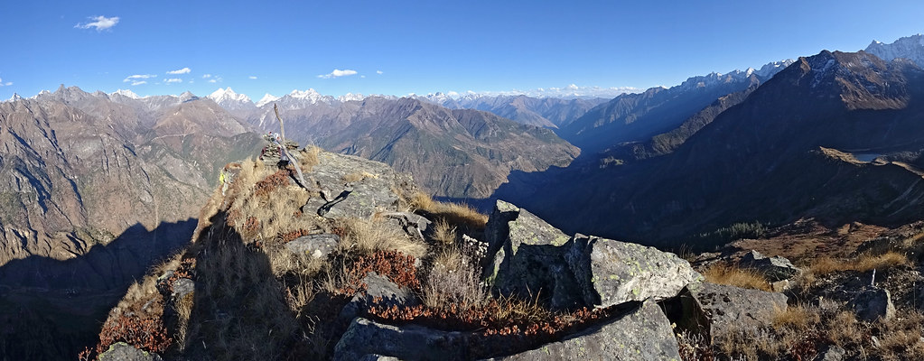
W_Nepal_2820 View down the Humla Karnali from the Dumbe Lek

W_Nepal_1524 View across Humla Karnali valley from Chhoila Tal
Topographic Map of Simikot, Nepal
Find elevation by address:

Places near Simikot, Nepal:
Recent Searches:
- Elevation of Corso Fratelli Cairoli, 35, Macerata MC, Italy
- Elevation of Tallevast Rd, Sarasota, FL, USA
- Elevation of 4th St E, Sonoma, CA, USA
- Elevation of Black Hollow Rd, Pennsdale, PA, USA
- Elevation of Oakland Ave, Williamsport, PA, USA
- Elevation of Pedrógão Grande, Portugal
- Elevation of Klee Dr, Martinsburg, WV, USA
- Elevation of Via Roma, Pieranica CR, Italy
- Elevation of Tavkvetili Mountain, Georgia
- Elevation of Hartfords Bluff Cir, Mt Pleasant, SC, USA