Elevation of Silver Sloop Way, Carolina Beach, NC, USA
Location: United States > North Carolina > New Hanover County > Federal Point > Carolina Beach >
Longitude: -77.893351
Latitude: 34.0540467
Elevation: 3m / 10feet
Barometric Pressure: 101KPa
Elevation Map:
Satellite Map:
Related Photos:
Early Bird Gets the Worm
Bitches Brew (Part 2)
Ciudad en las Nubes

One of the batteries of Fort Anderson.

Altered States
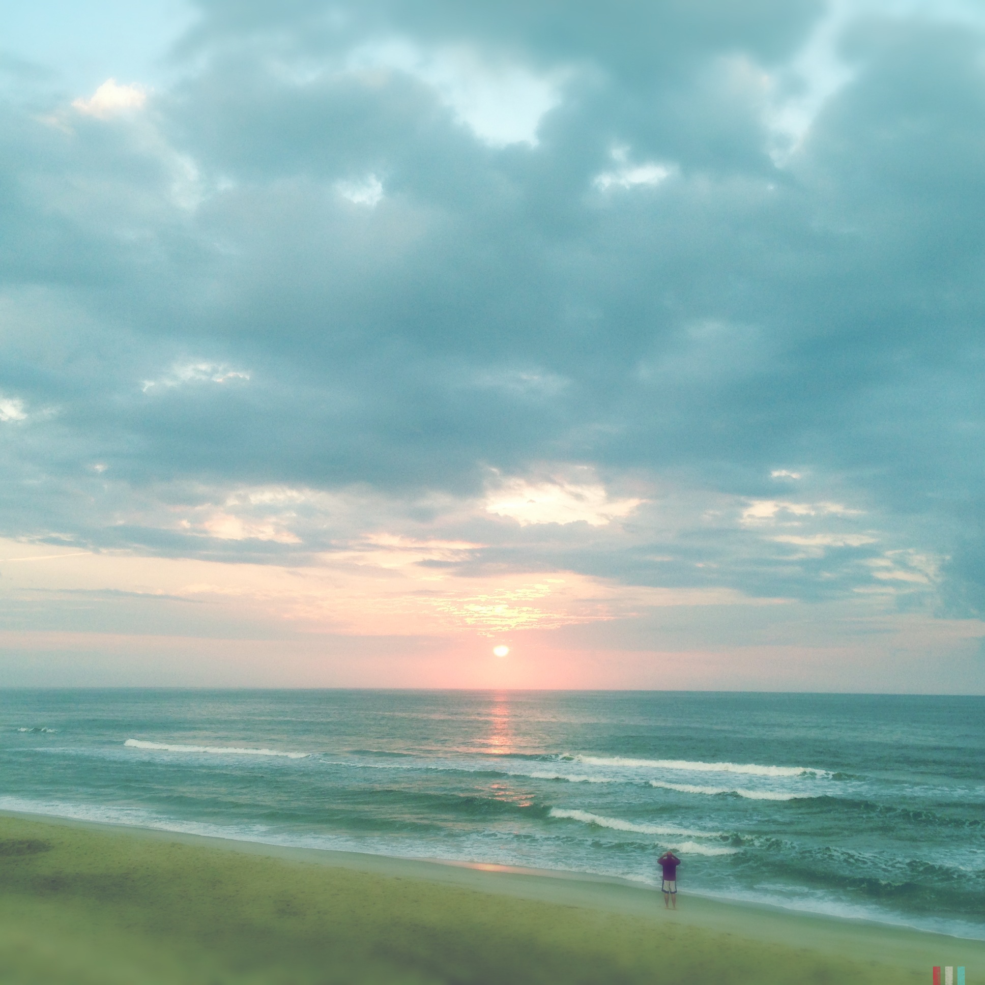
Carolina Beach Sunrise
Summer Sunrise
Fort Fisher Sunrise
A Summer Memory
Creepy Fog
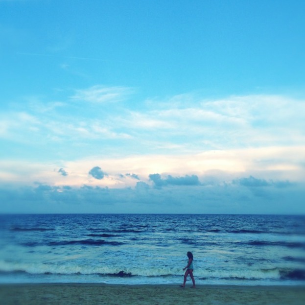
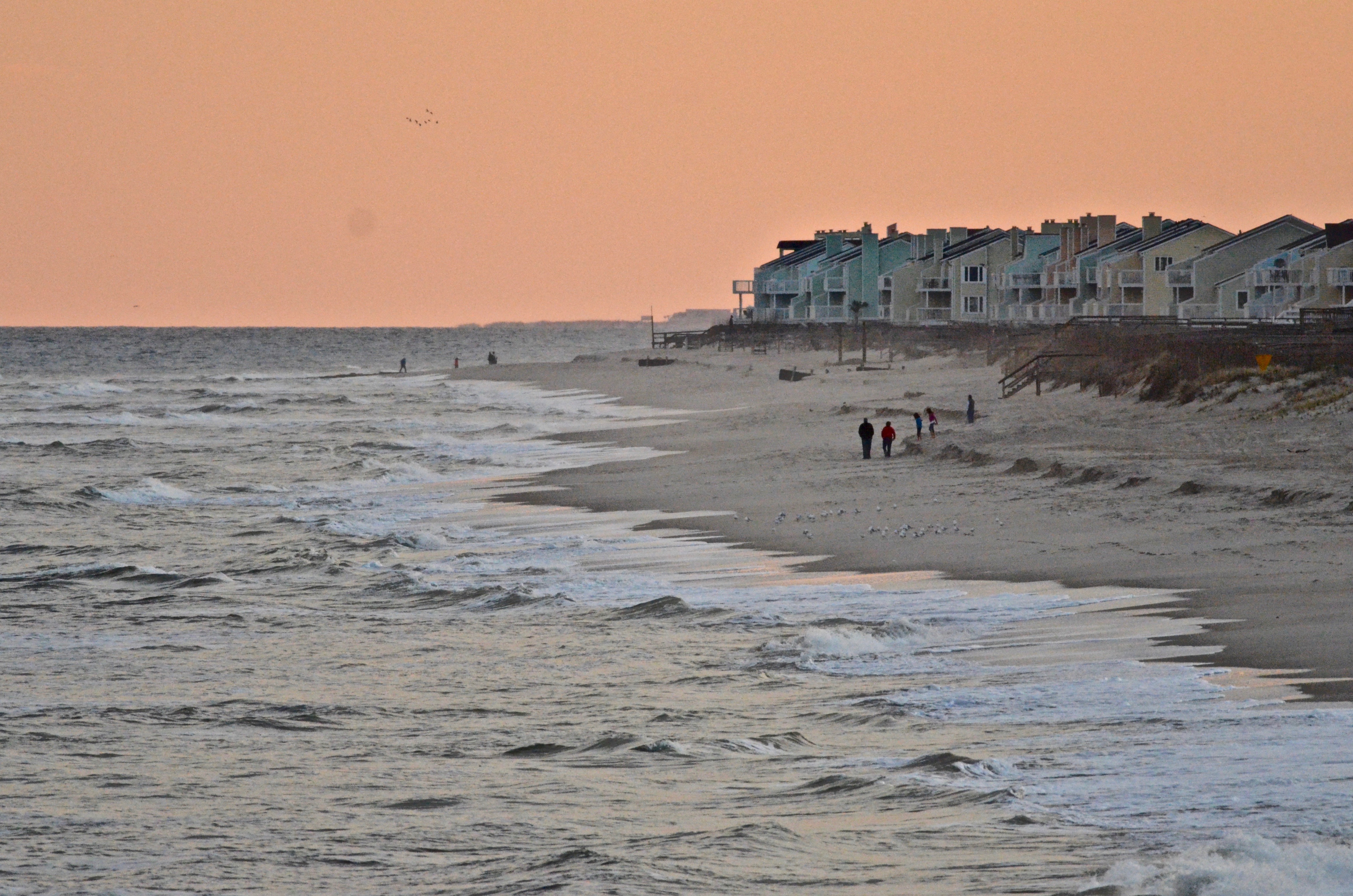
A Walk on the Beach
Yesterday Morning
Fort Fisher Panorama

Kaia @ Sunrise

Windy Lane

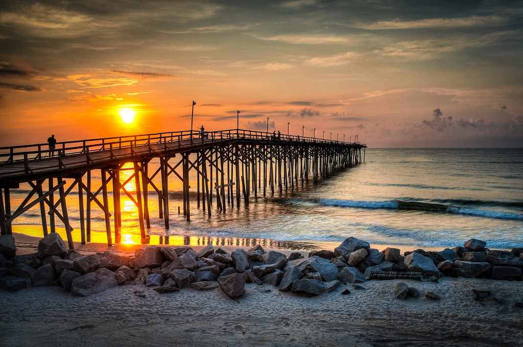
Carolina Beach Pier 3
Dawn on the Old and Older
Sunset on the beach

Sun Washed

Fort Fisher Sunset
Carolina Beach Sunrise
Topographic Map of Silver Sloop Way, Carolina Beach, NC, USA
Find elevation by address:

Places near Silver Sloop Way, Carolina Beach, NC, USA:
213 Silver Sloop Way
203 Silver Sloop Way
227 Silver Sloop Way
1521 Island Marina Dr
217 Green Turtle Ln
232 Silver Sloop Way
214 Spencer-farlow Dr
117 Green Turtle Ln
213 Lewis Dr
Spencer-farlow Drive
409 Lewis Dr
504 Lewis Dr
Florida Avenue
209 Georgia Ave
1328 N Lake Park Blvd #109
1328 N Lake Park Blvd #109
208 Georgia Ave
300 Georgia Ave
110 Sugarloaf Ct
102 Sugarloaf Ct
Recent Searches:
- Elevation of Pu Ngaol Community Meeting Hall, HWHM+3X7, Krong Saen Monourom, Cambodia
- Elevation of Royal Ontario Museum, Queens Park, Toronto, ON M5S 2C6, Canada
- Elevation of Groblershoop, South Africa
- Elevation of Power Generation Enterprises | Industrial Diesel Generators, Oak Ave, Canyon Country, CA, USA
- Elevation of Chesaw Rd, Oroville, WA, USA
- Elevation of N, Mt Pleasant, UT, USA
- Elevation of 6 Rue Jules Ferry, Beausoleil, France
- Elevation of Sattva Horizon, 4JC6+G9P, Vinayak Nagar, Kattigenahalli, Bengaluru, Karnataka, India
- Elevation of Great Brook Sports, Gold Star Hwy, Groton, CT, USA
- Elevation of 10 Mountain Laurels Dr, Nashua, NH, USA