Elevation of Siliguri, West Bengal, India
Location: India > West Bengal > Darjeeling >
Longitude: 88.3952861
Latitude: 26.7271012
Elevation: 125m / 410feet
Barometric Pressure: 100KPa
Elevation Map:
Satellite Map:
Related Photos:
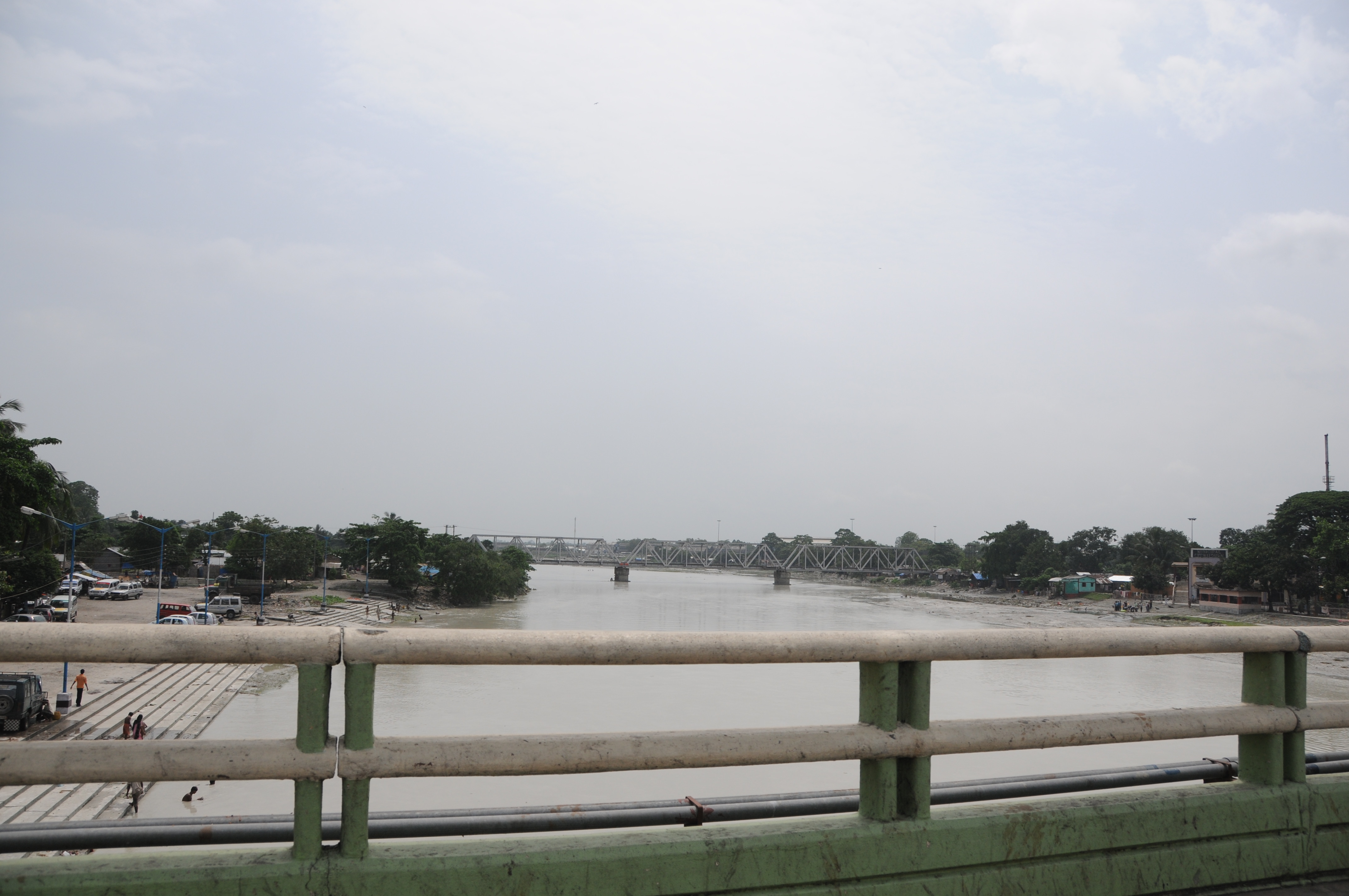
CSP_3978.JPG

BCK VIEW OF SGUJ WDP-4D #40091
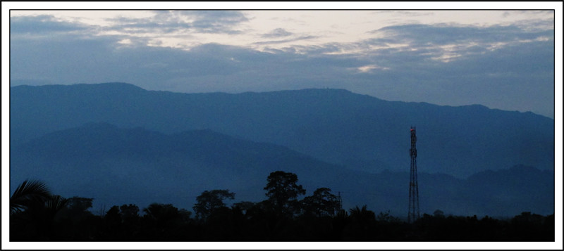
The Blue Mountain
#Honestly the #first #view when I #wake up #every #morning #bed #room #hairs #cold #coffee #Starbucks #tipsy #Tea #music Thats pretty much #life
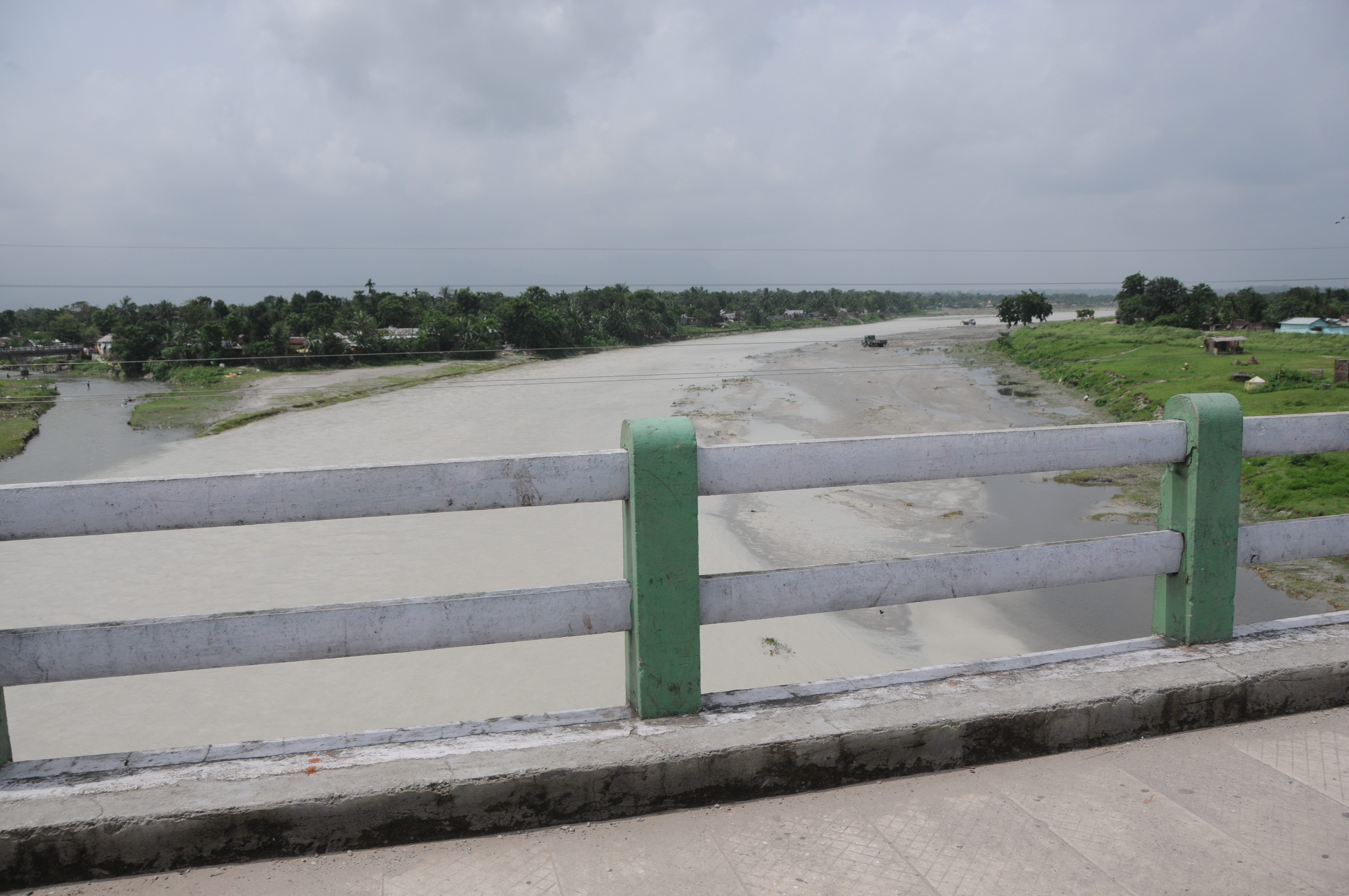
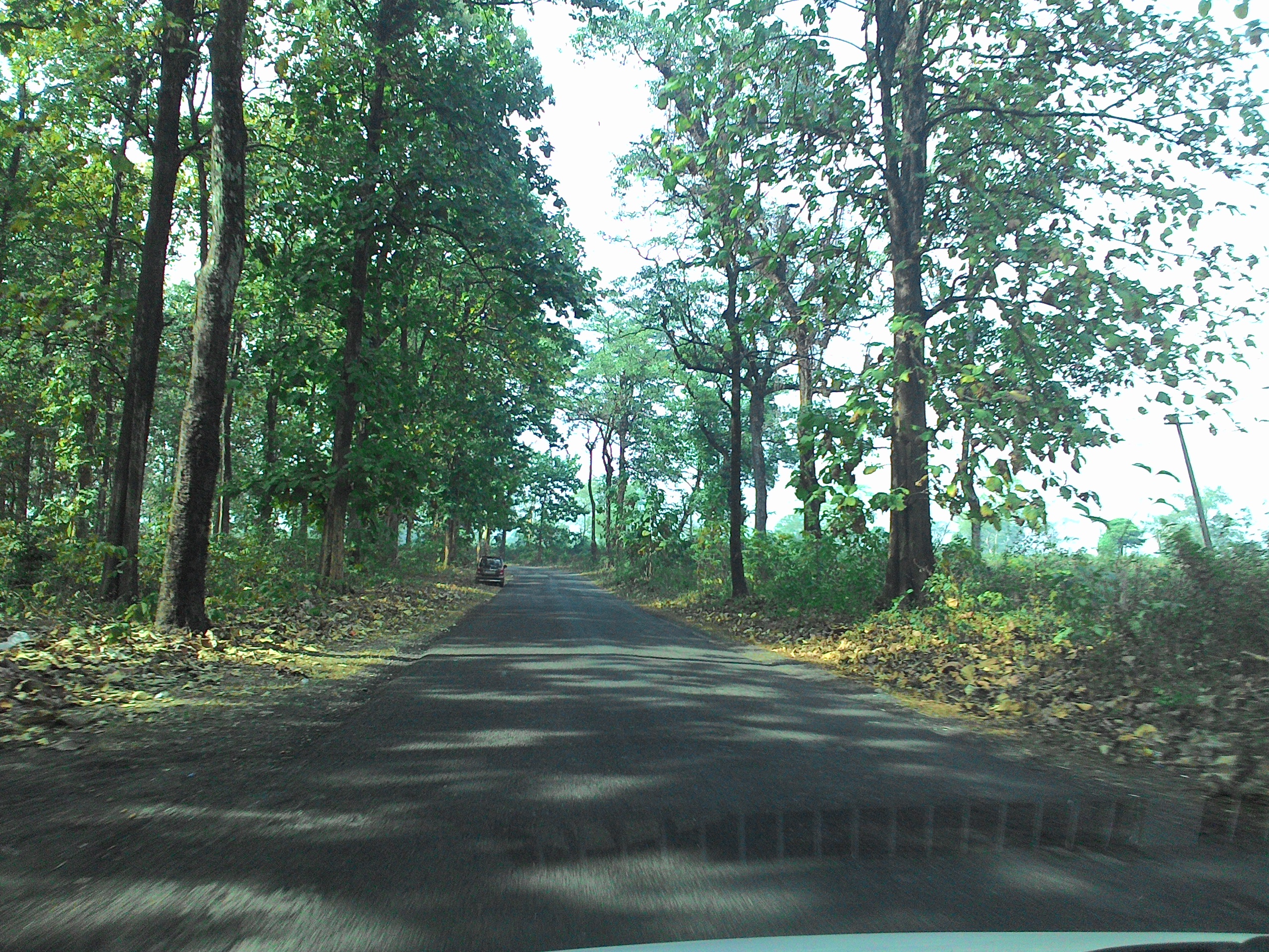
Dabgram, Siliguri, West Bengal
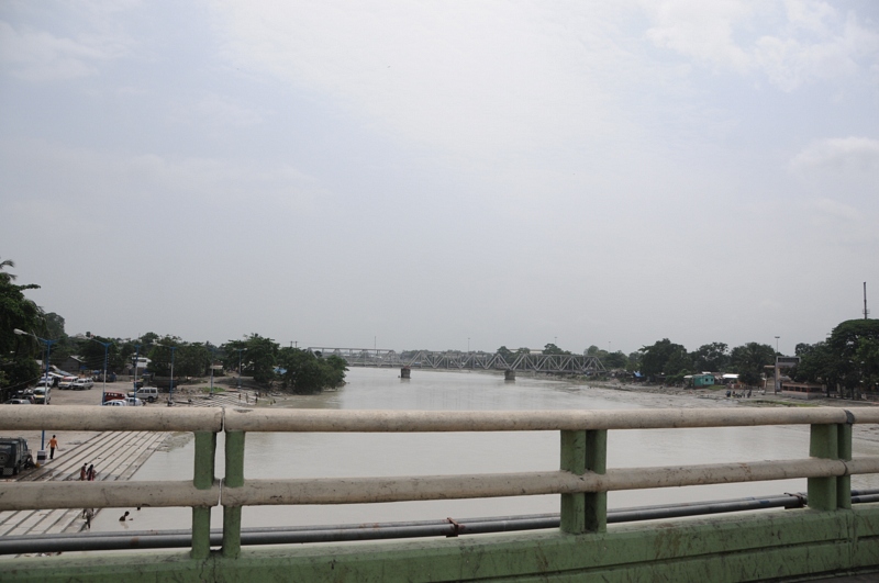
CSP_3980.JPG
Dabgram, Siliguri, West Bengal

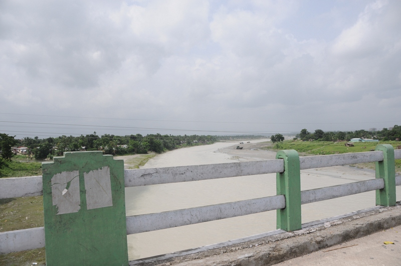
Dabgram, Siliguri, West Bengal
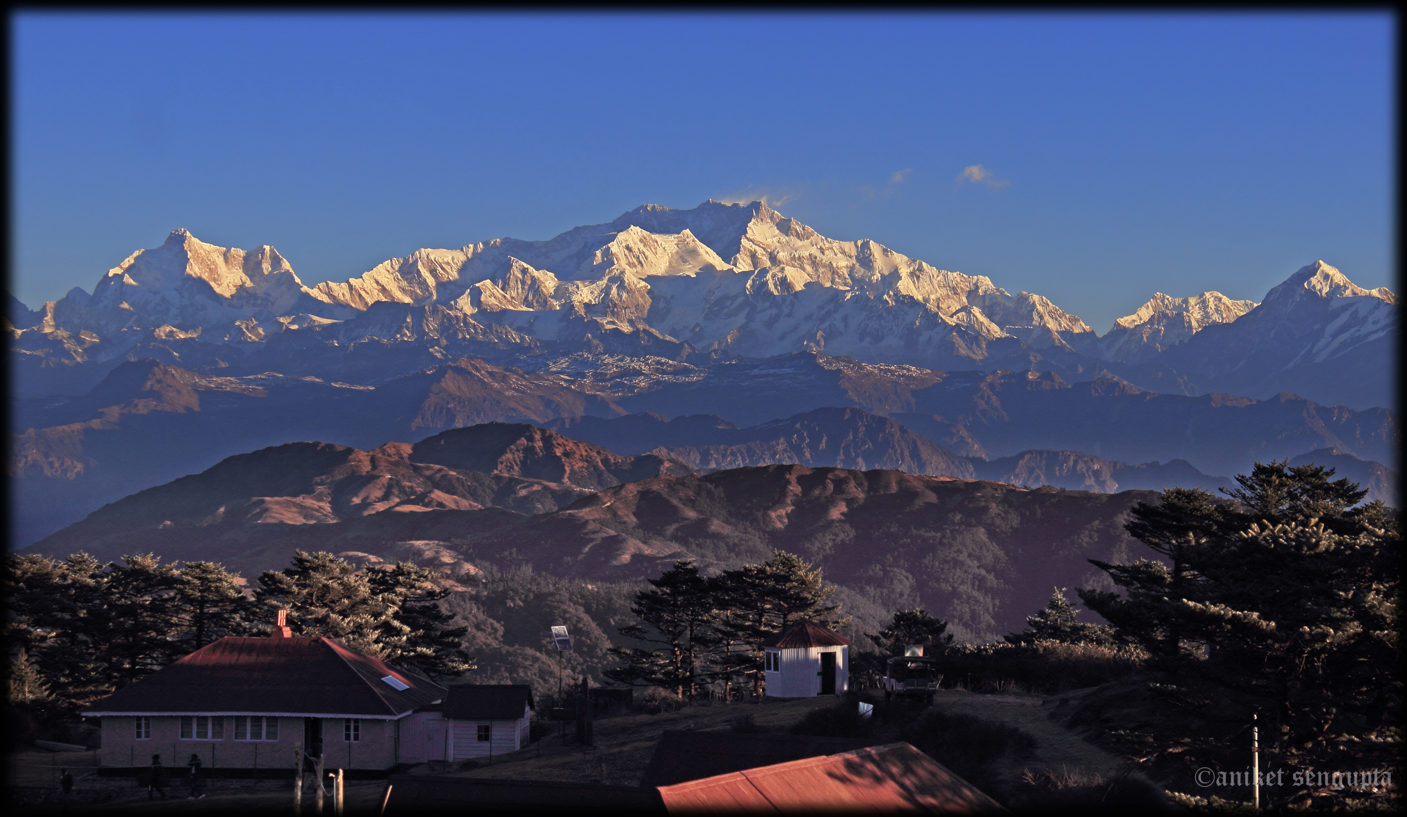
Shades of Mt Kanchenjunga
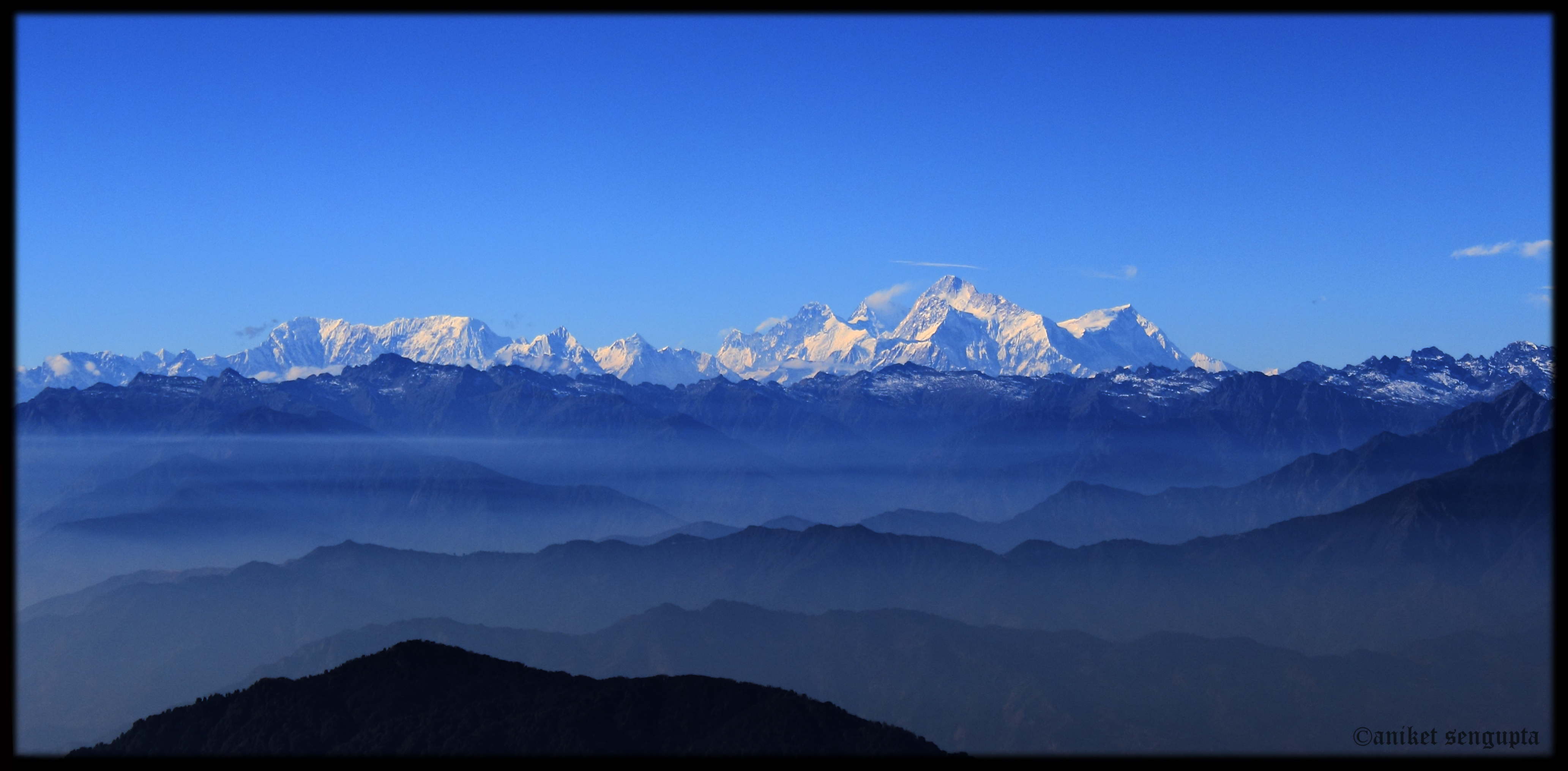
The tallest one is called Everest
©2014 Subir K. Ghosh

Sleeping Buddha on a Starry Night
Three sisters nd Kanchenjunga

Thatched roofs under azure sky
shades of afternoon
Blue tiger butterfly
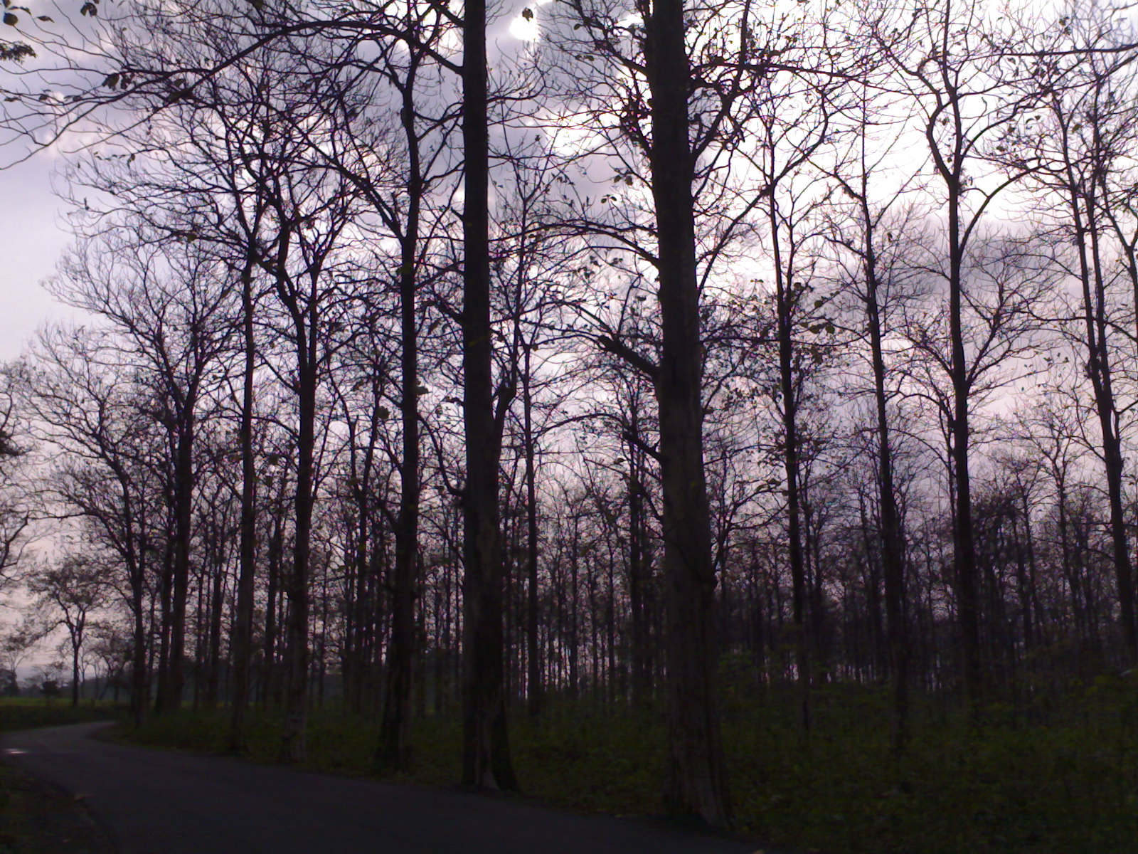
Naked Woods, Promise of Spring
Siliguri Mirik
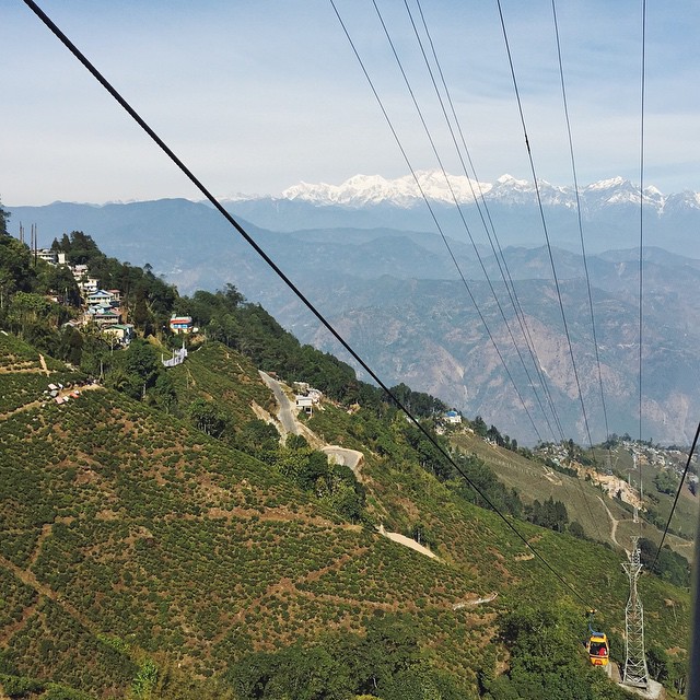
The Cable Car Hop to Darjeeling;

Dooars from Train
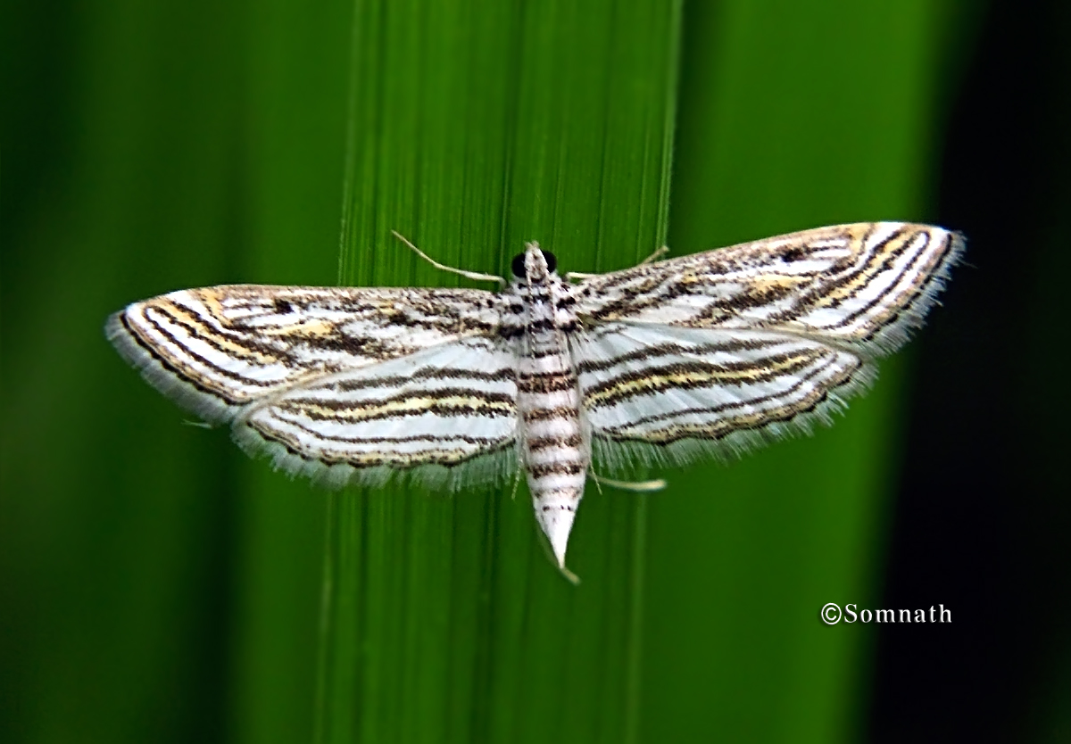
parapoynx fluctuosalis
Topographic Map of Siliguri, West Bengal, India
Find elevation by address:

Places in Siliguri, West Bengal, India:
Places near Siliguri, West Bengal, India:
Sittong
Sittong,the Orange Valley
Saraswatipur Tea Estate
Latpanchar
Darjeeling
Washabari Tea Garden
Yaksha Holiday Homes
Sittong Khasmahal
Ambootia Tea Garden
Leesh River Tea Garden
Yang Makum Khasmahal
Suntaley (labdha) Ground
Bagrakote Tea Garden
Chunabhati Bazar D.i.f.
Bagrakot
Bagrakot Tea Garden
Mangpoo
Government Cinchona Plantation Nursery
Nya Sylee Tea Estate
Mungpoo
Recent Searches:
- Elevation of 30 Oak Lawn Dr, Barkhamsted, CT, USA
- Elevation of Luther Road, Luther Rd, Auburn, CA, USA
- Elevation of Unnamed Road, Respublika Severnaya Osetiya — Alaniya, Russia
- Elevation of Verkhny Fiagdon, North Ossetia–Alania Republic, Russia
- Elevation of F. Viola Hiway, San Rafael, Bulacan, Philippines
- Elevation of Herbage Dr, Gulfport, MS, USA
- Elevation of Lilac Cir, Haldimand, ON N3W 2G9, Canada
- Elevation of Harrod Branch Road, Harrod Branch Rd, Kentucky, USA
- Elevation of Wyndham Grand Barbados Sam Lords Castle All Inclusive Resort, End of Belair Road, Long Bay, Bridgetown Barbados
- Elevation of Iga Trl, Maggie Valley, NC, USA