Elevation map of Sikasso Region, Mali
Location: Mali >
Longitude: -7.4381355
Latitude: 10.8905186
Elevation: 364m / 1194feet
Barometric Pressure: 97KPa
Elevation Map:
Satellite Map:
Related Photos:

Image from page 362 of "Comment j'ai parcouru l'Indo-Chine : Birmanie, États Shans, Siam, Tonkin, Laos" (1901)

IMG_3584-5

IMG_2876-8

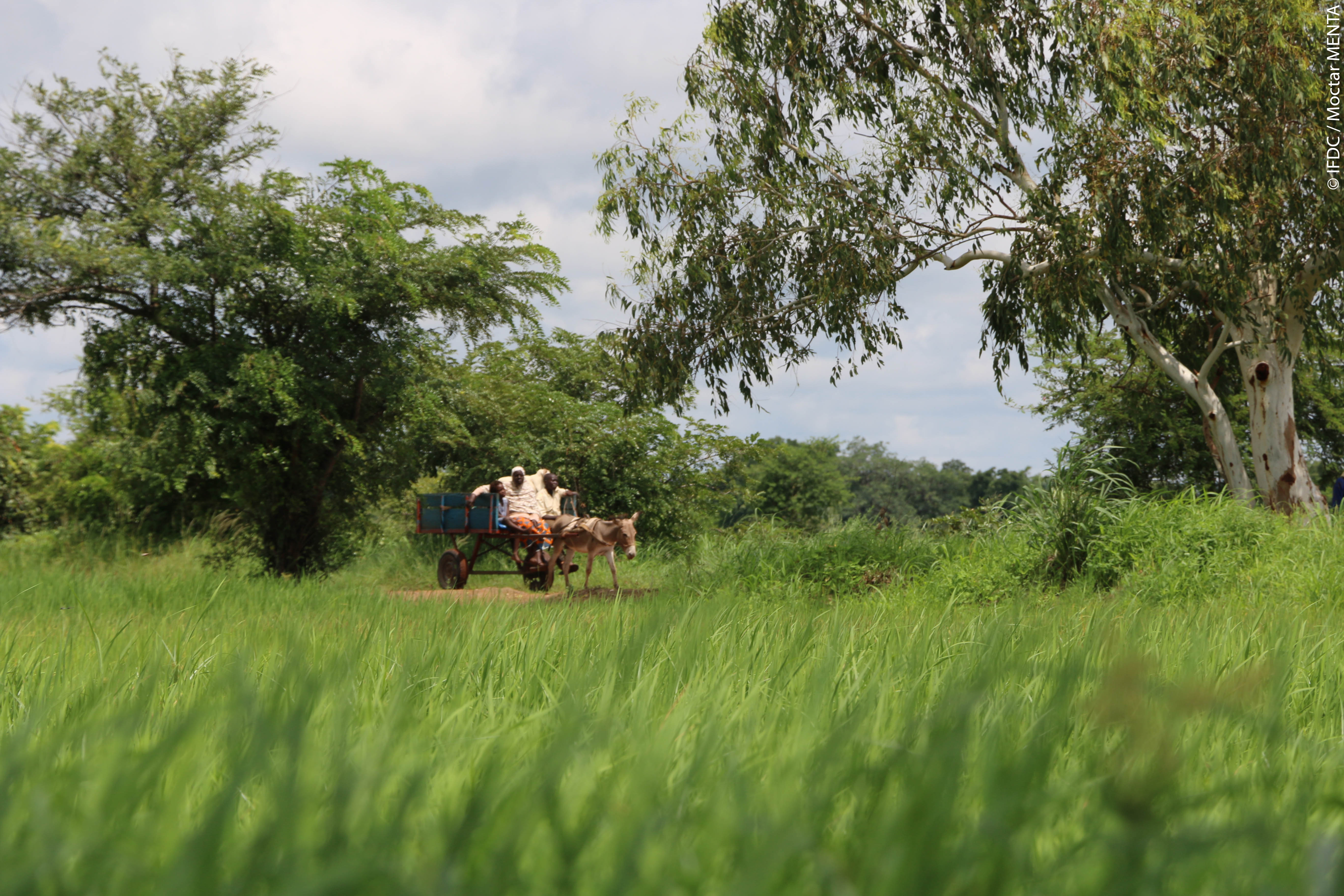
Koumoulai 1
IMG_3586-6

IMG_3476-1
Topographic Map of Sikasso Region, Mali
Find elevation by address:

Places near Sikasso Region, Mali:
Recent Searches:
- Elevation of Panther Dr, Maggie Valley, NC, USA
- Elevation of Jais St - Wadi Shehah - Ras al Khaimah - United Arab Emirates
- Elevation of Shawnee Avenue, Shawnee Ave, Easton, PA, USA
- Elevation of Scenic Shore Dr, Kingwood Area, TX, USA
- Elevation of W Prive Cir, Delray Beach, FL, USA
- Elevation of S Layton Cir W, Layton, UT, USA
- Elevation of F36W+3M, Mussoorie, Uttarakhand, India
- Elevation of Fairland Ave, Fairhope, AL, USA
- Elevation of Sunset Dr, Richmond, VA, USA
- Elevation of Grodna District, Hrodna Region, Belarus