Elevation of Sierra Nevada de Santa Marta, Aracataca, Magdalena, Colombia
Location: Colombia > Magdalena > Aracataca >
Longitude: -73.692344
Latitude: 10.8292413
Elevation: 5436m / 17835feet
Barometric Pressure: 51KPa
Elevation Map:
Satellite Map:
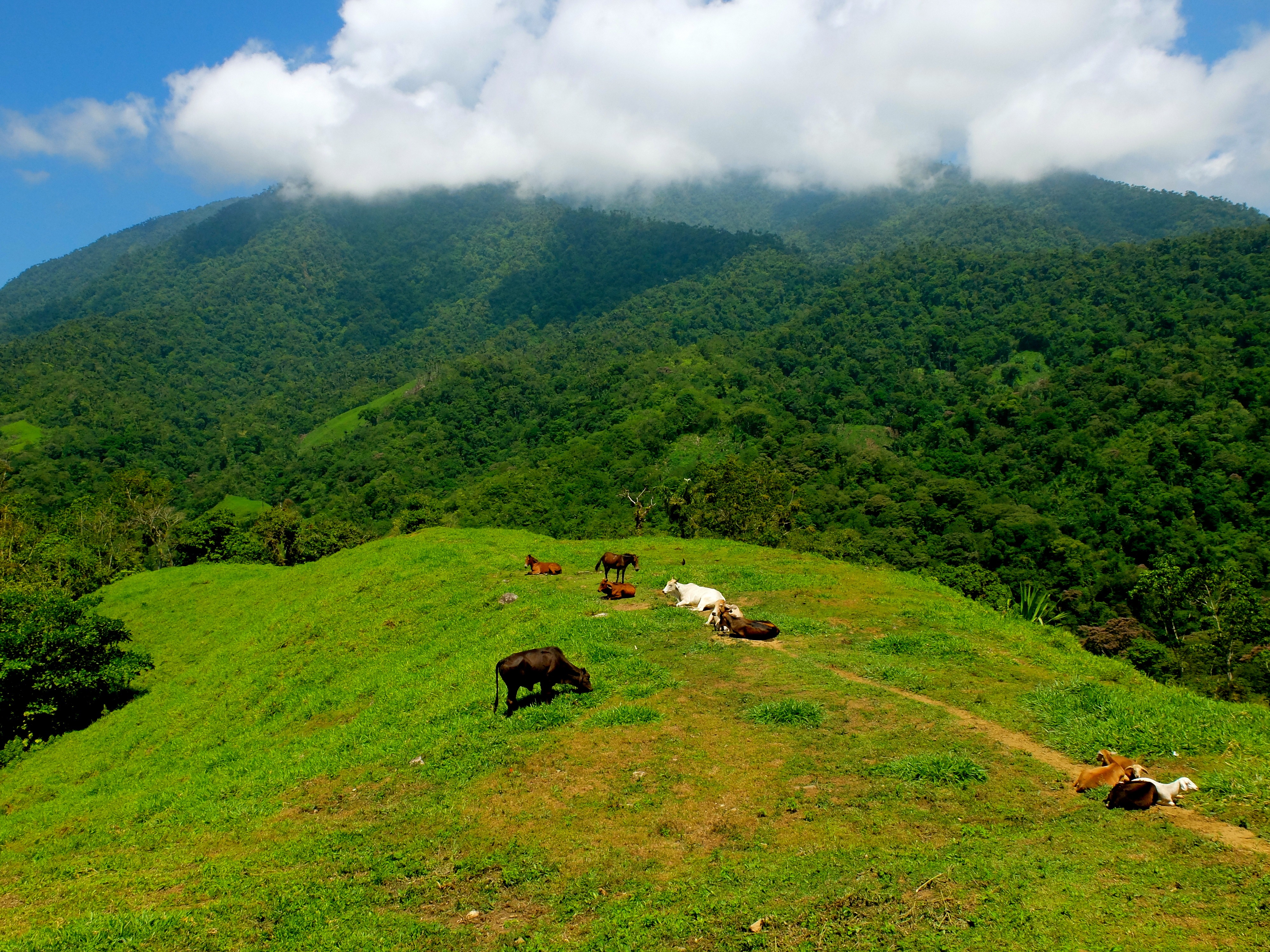
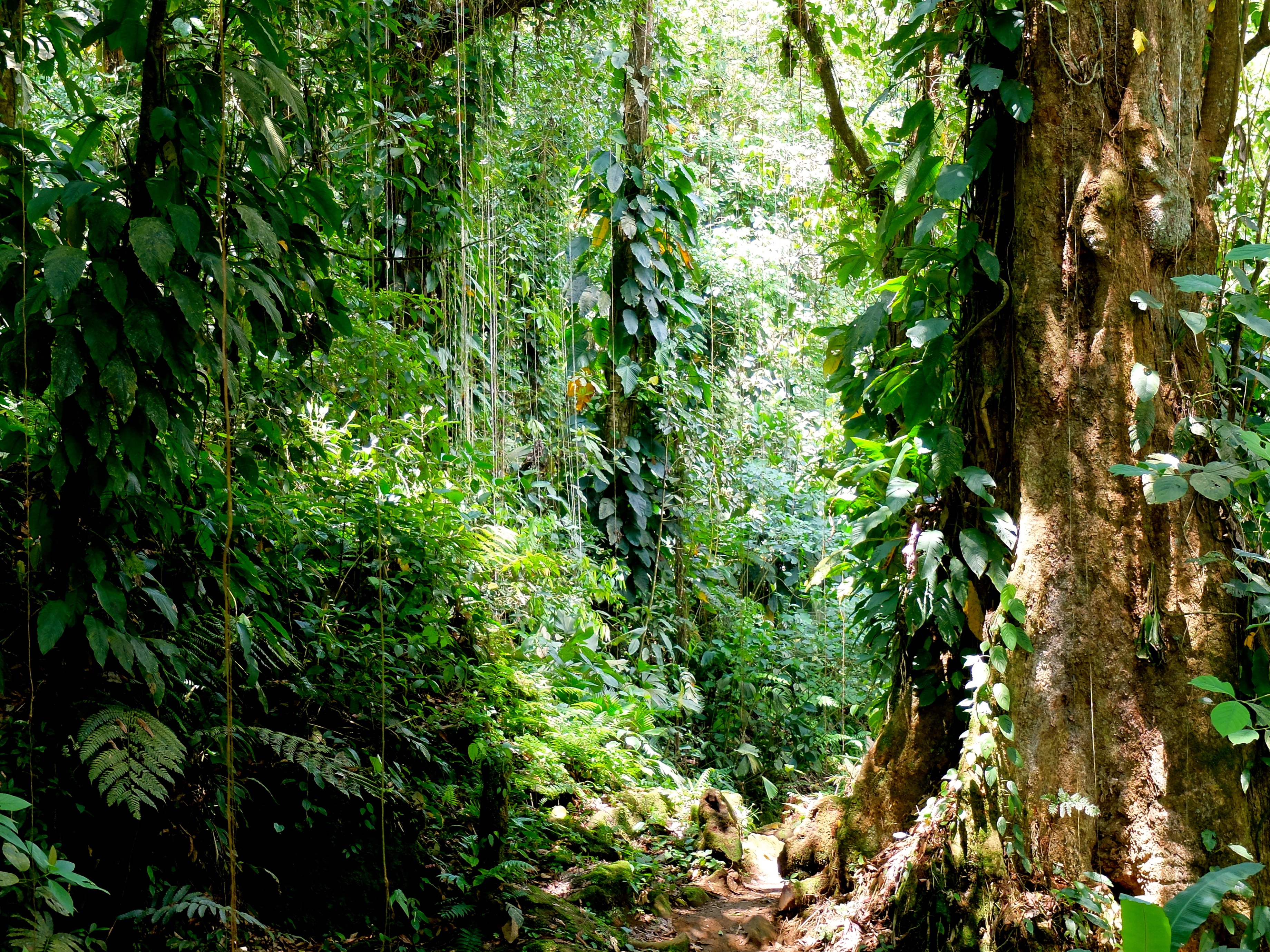
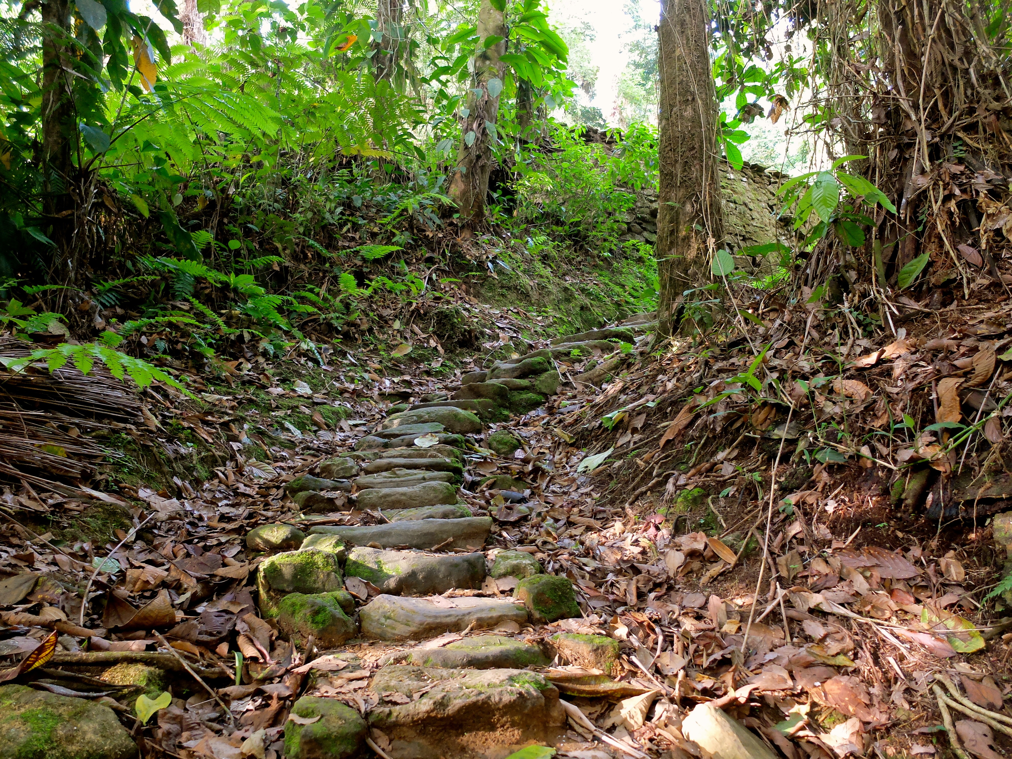
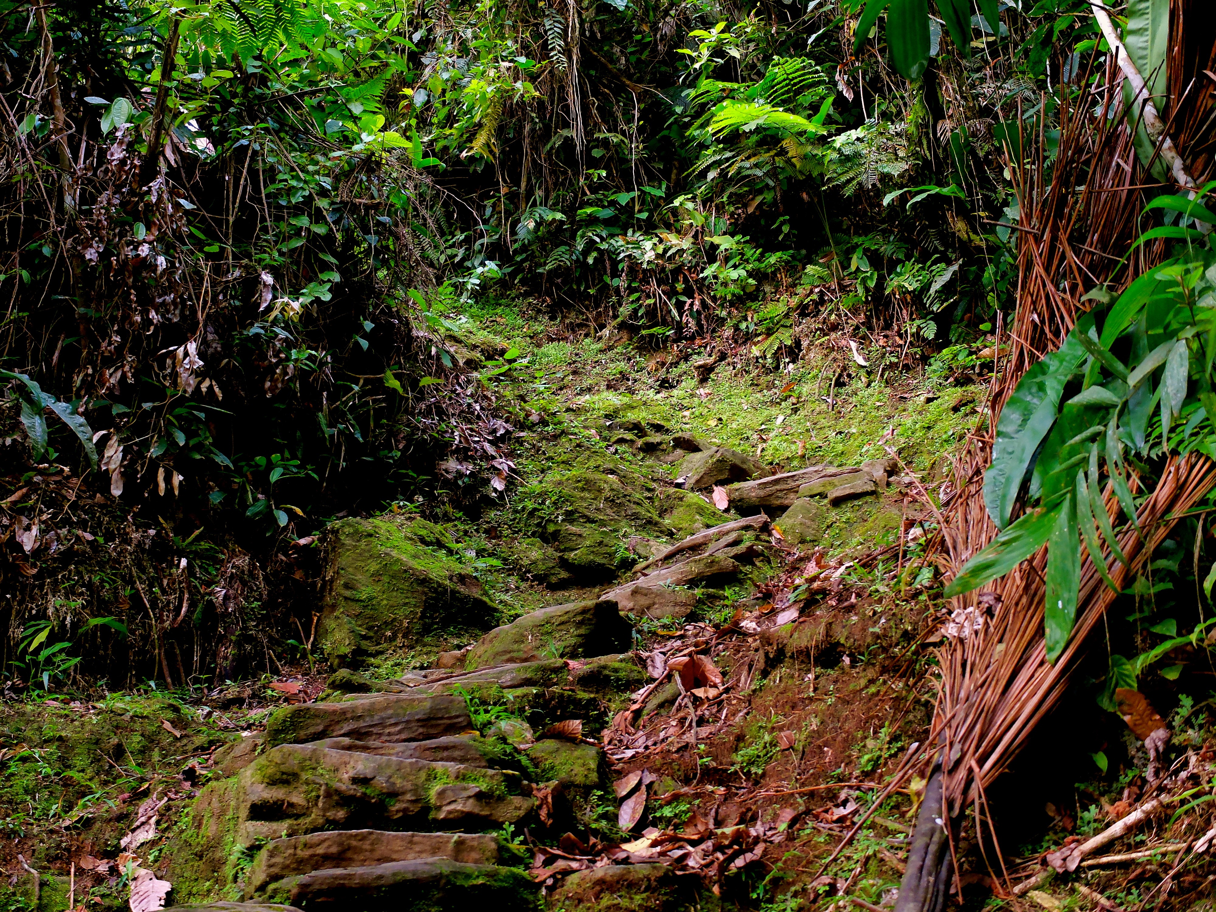
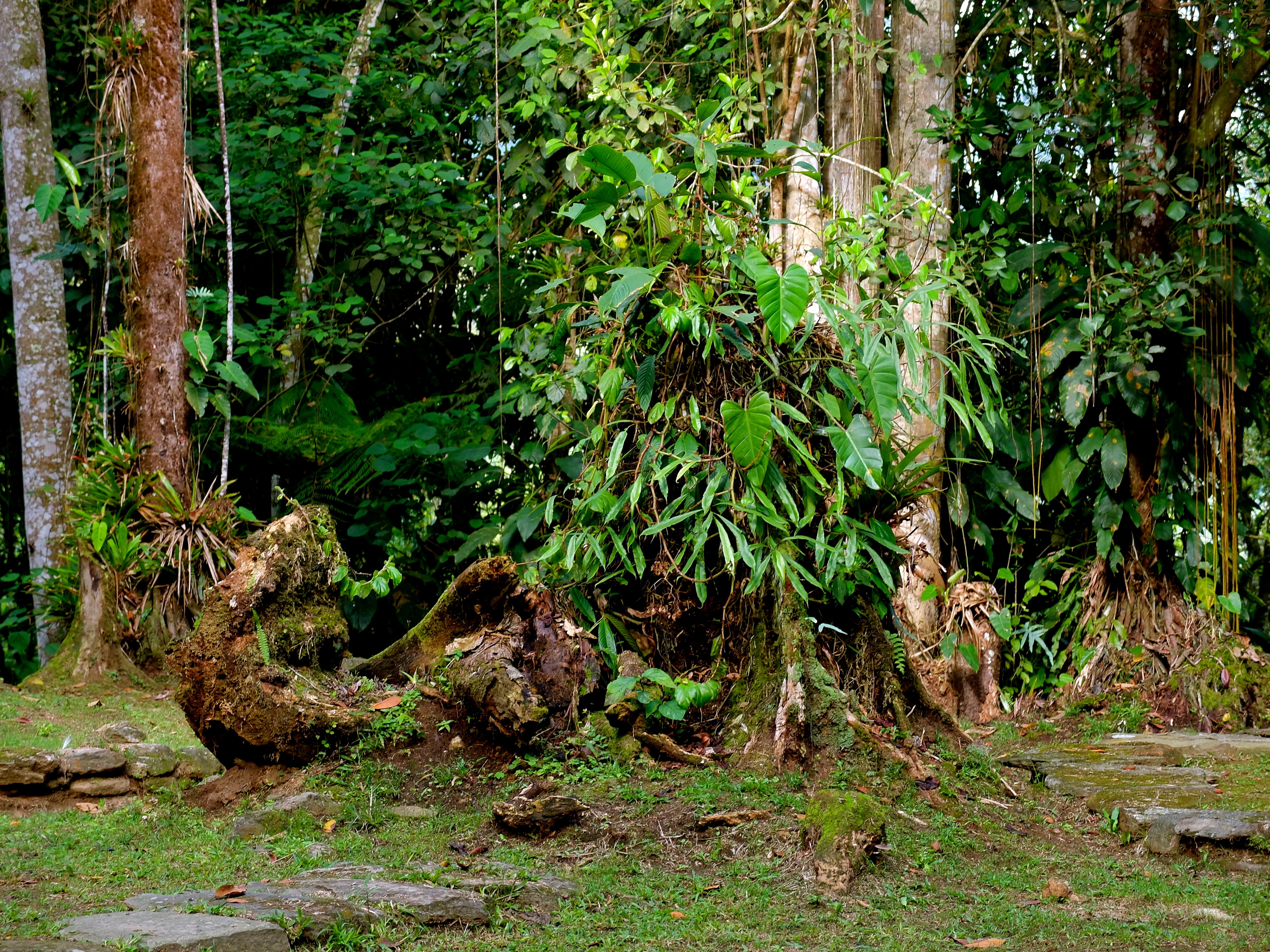
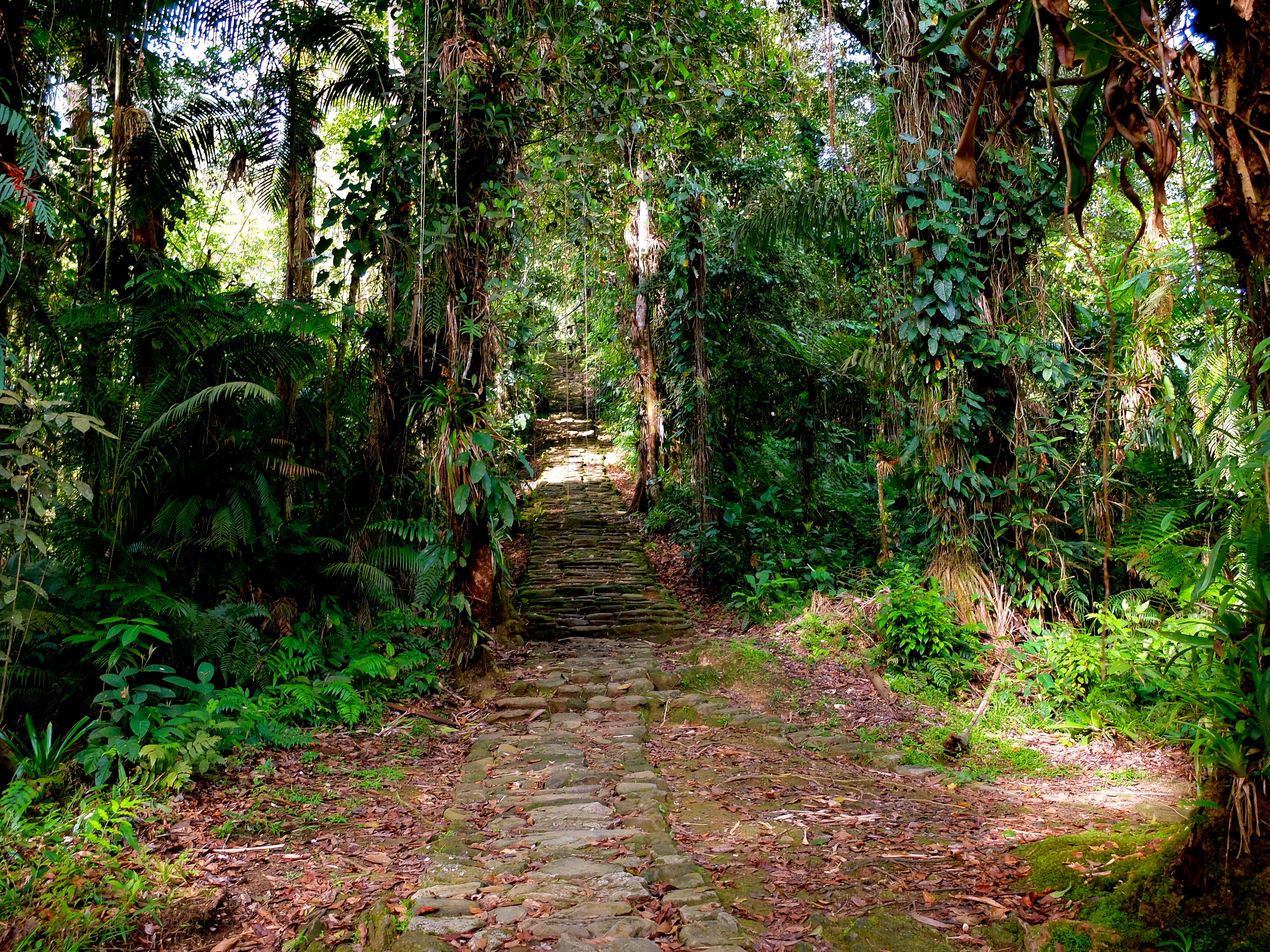
Related Photos:
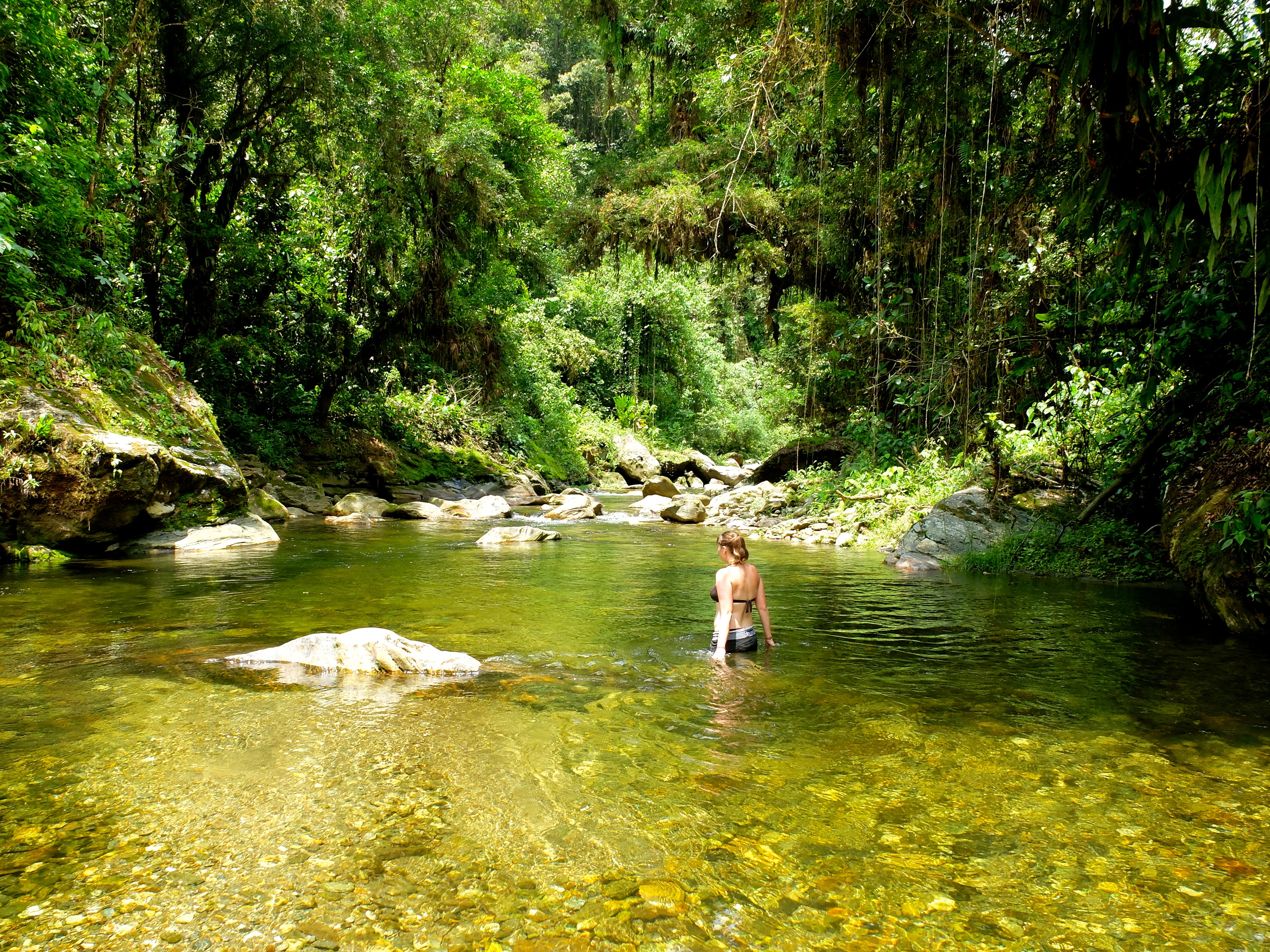
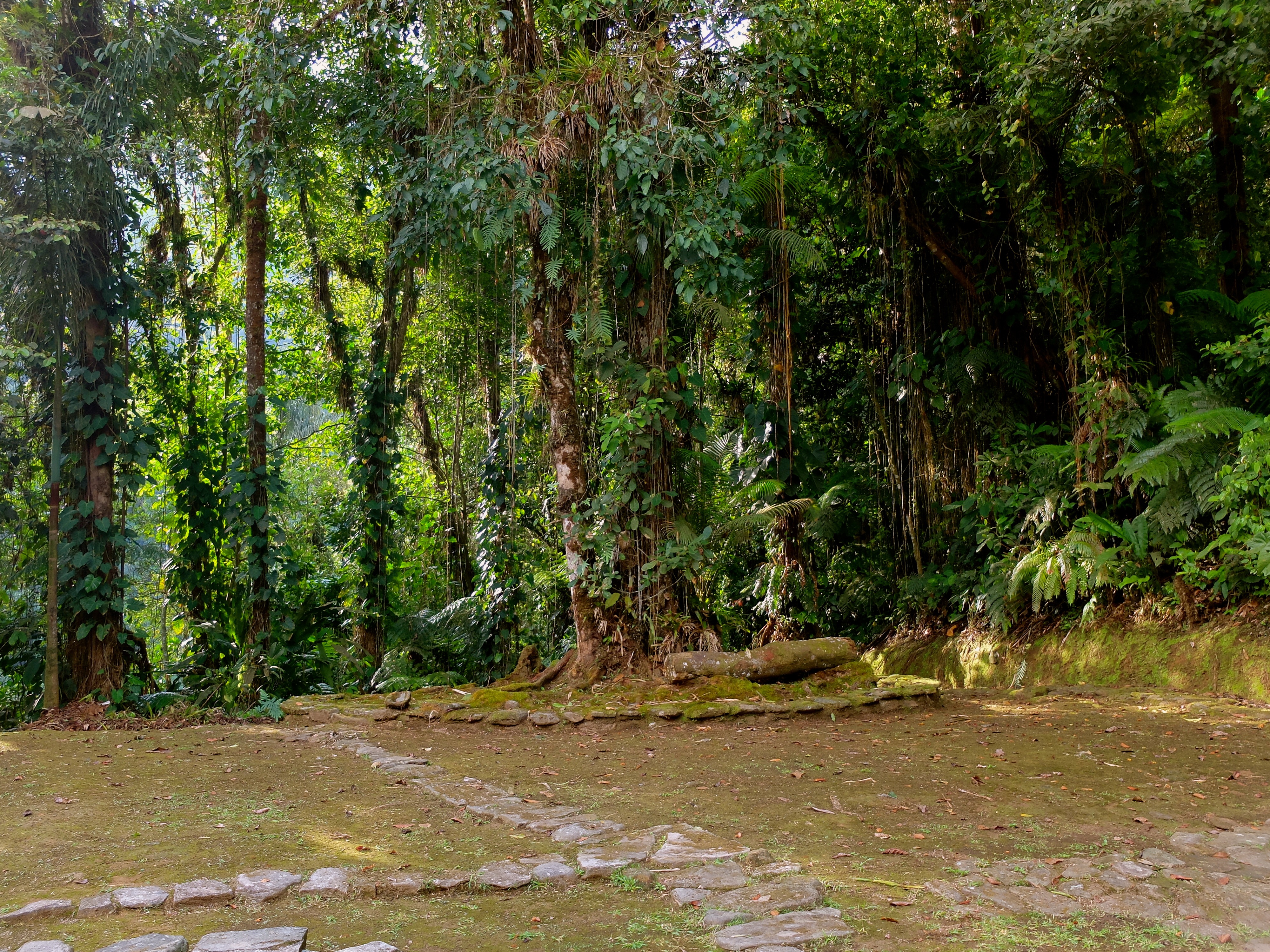
S0525152

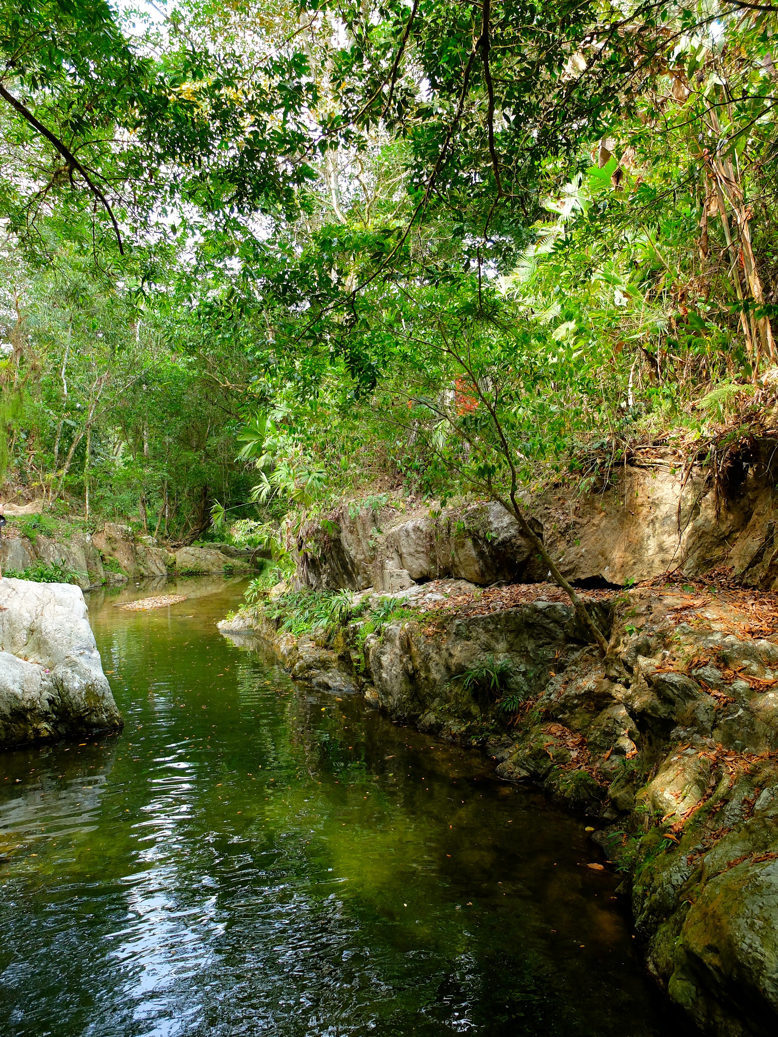
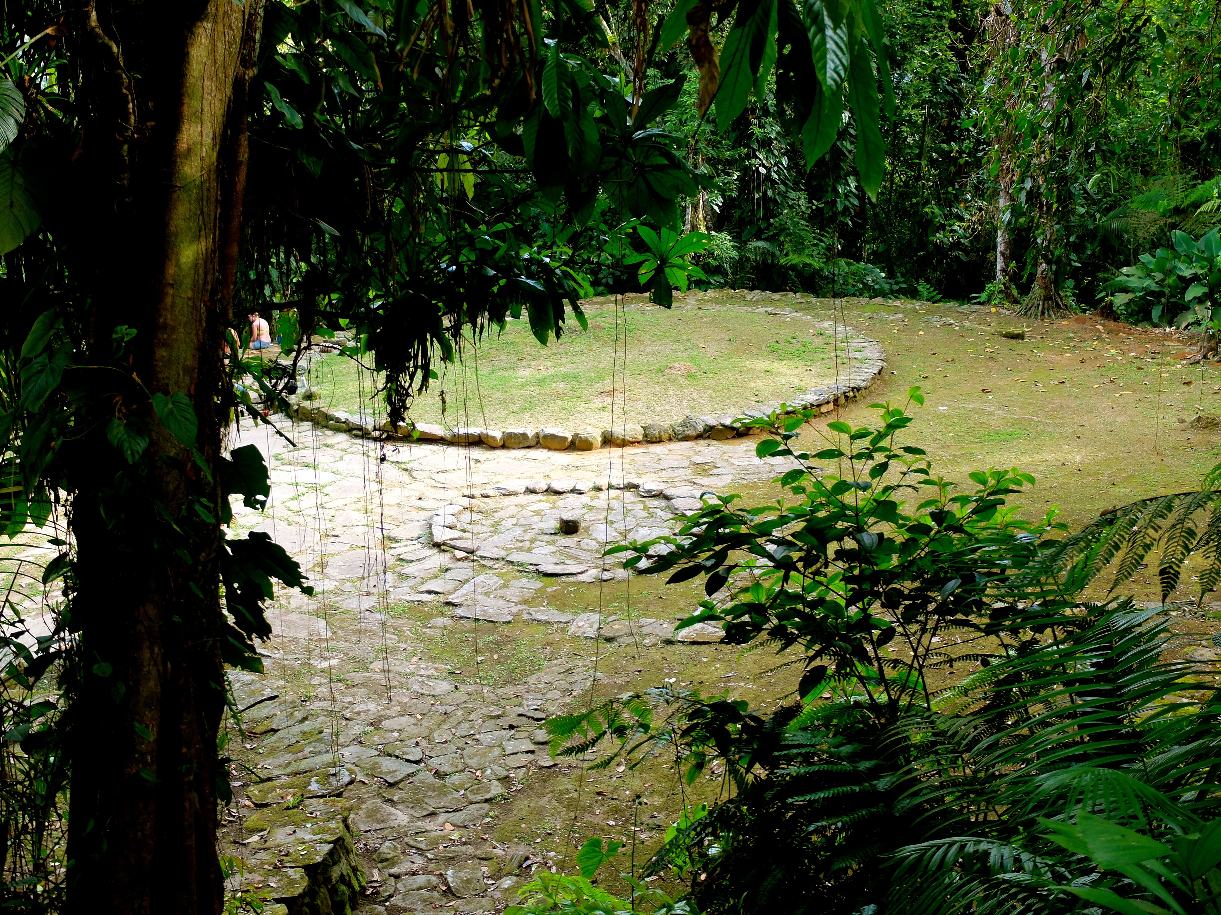
S0456049

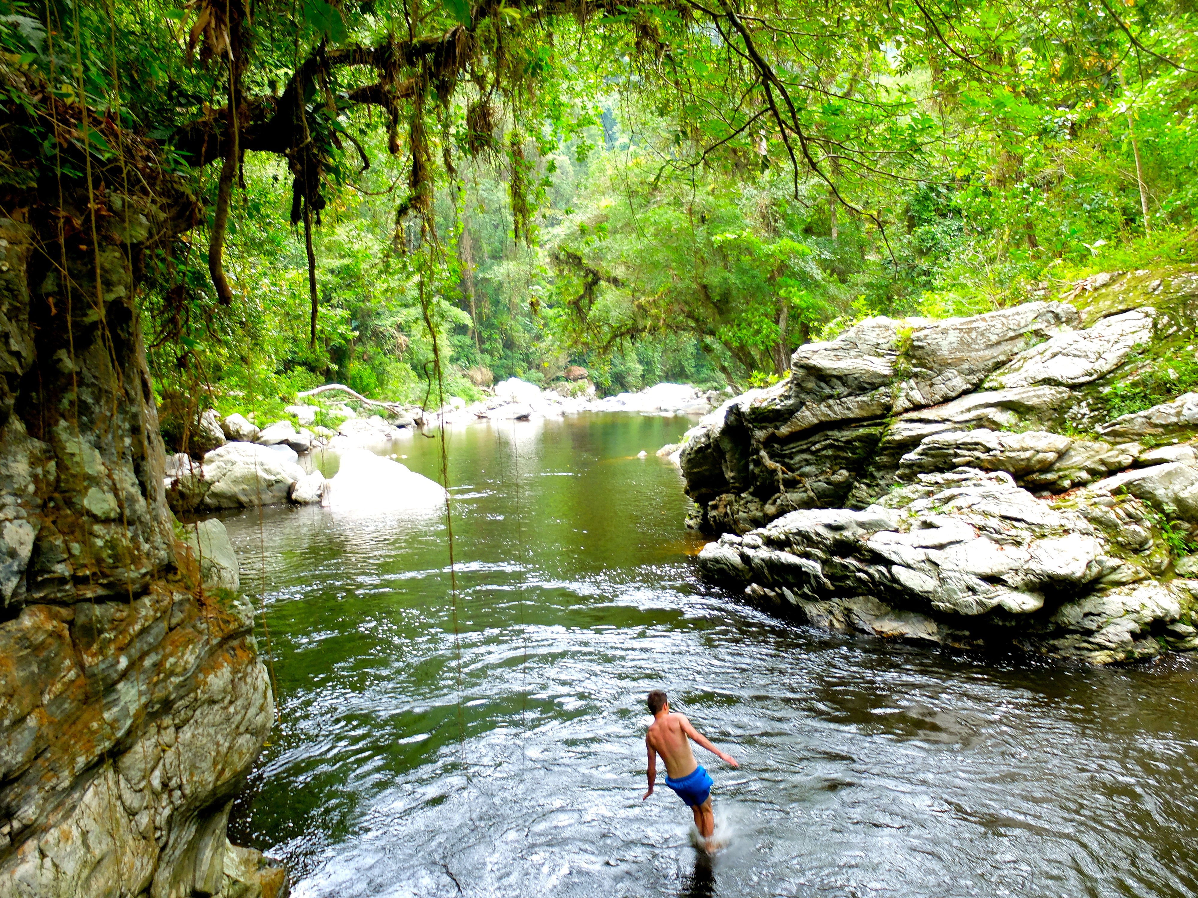
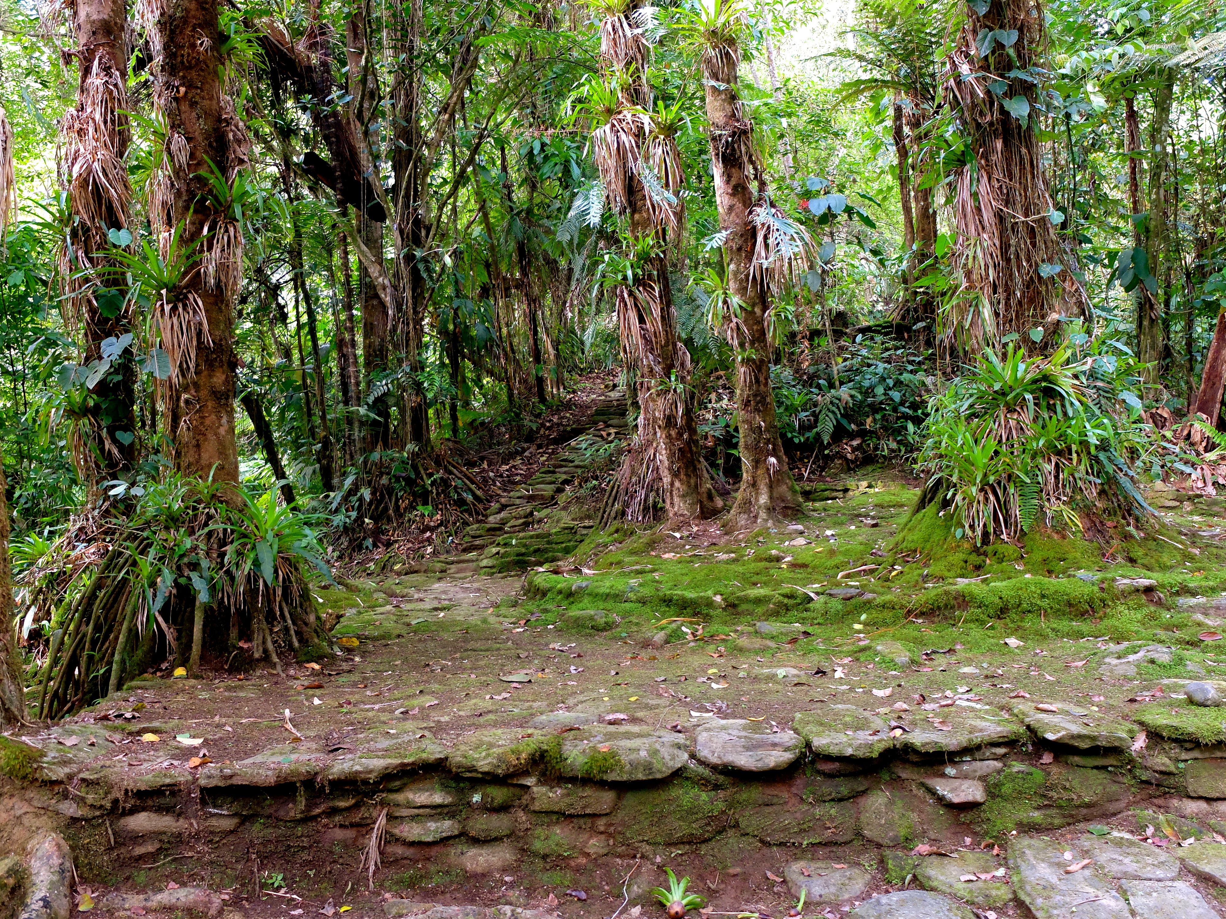
DSCF5135

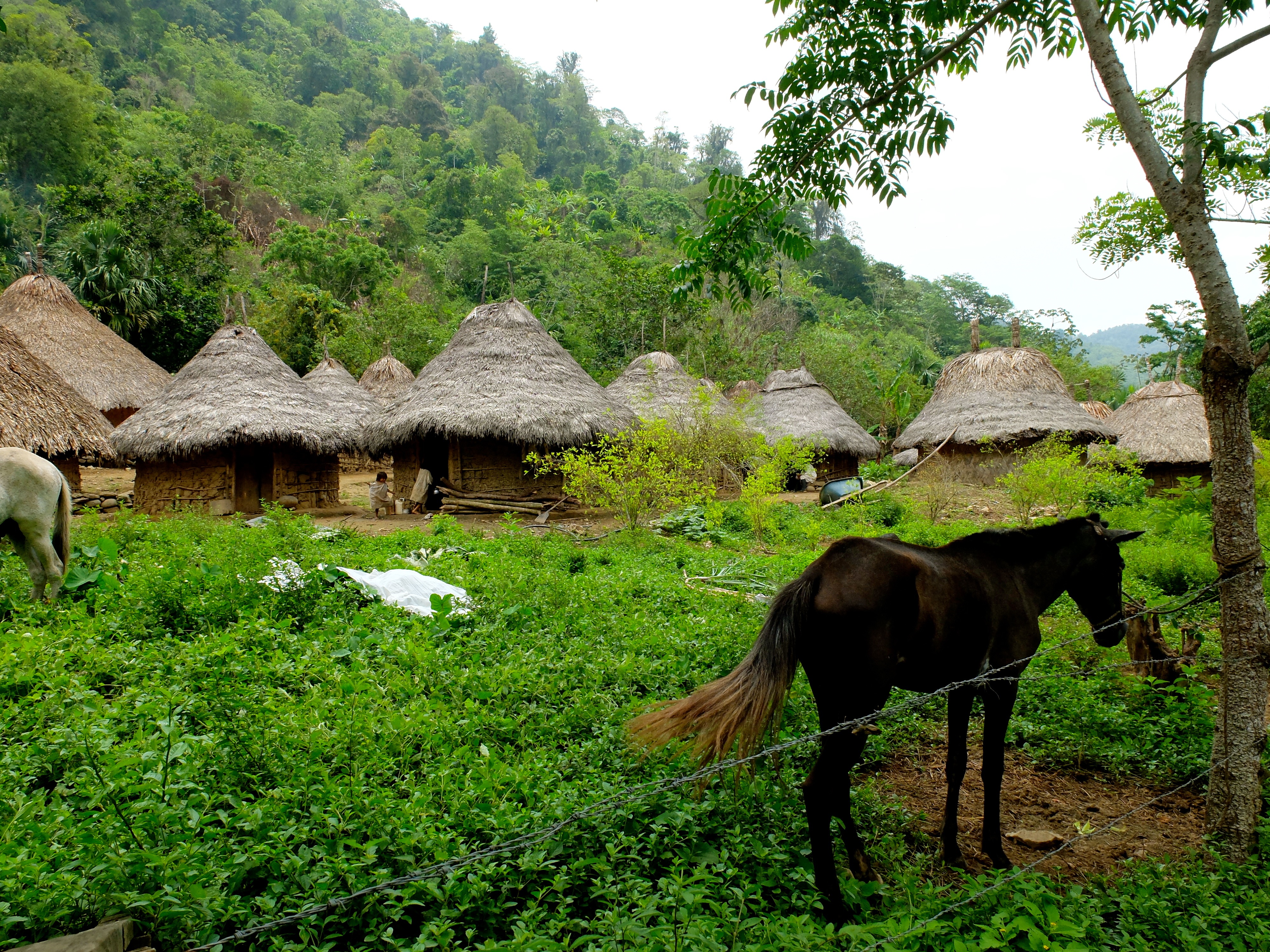
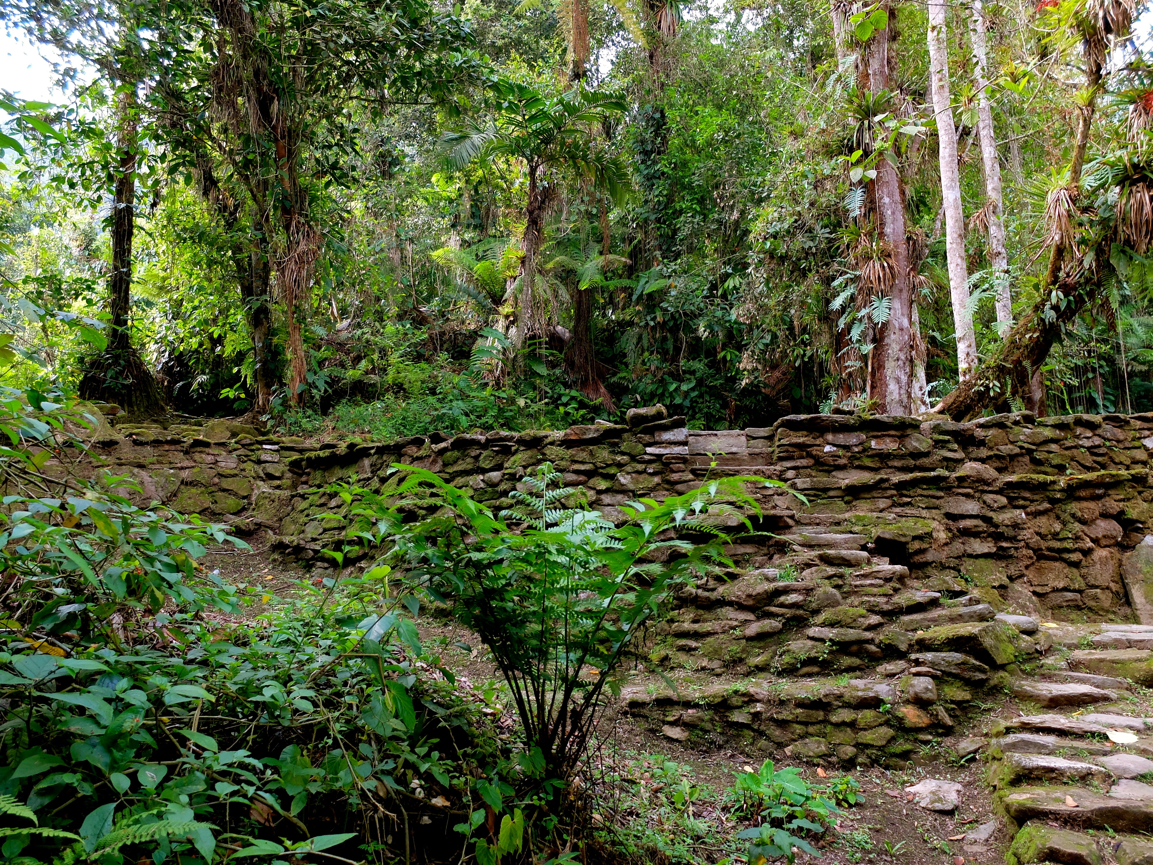
S0054380
S0074382

S0464428

S0484430
S0484432
S0504435
DSCF5139
DSCF5143

DSCF5145
S0046004
S0925215
S0096009
S0146014
S0226026
S0266030
S0316035

S0466050
S0546059
Topographic Map of Sierra Nevada de Santa Marta, Aracataca, Magdalena, Colombia
Find elevation by address:

Places near Sierra Nevada de Santa Marta, Aracataca, Magdalena, Colombia:
Pico Cristóbal Colón
Mamancanaca
Ciénaga
Ciudad Perdida
Palmor
Valledupar
Granja Experimental Cafetera
Palomino
Reserva El Dorado
Zona Bananera
Cerro Kennedy
Minca
Ciudad Perdida
Paso Del Mango
Aracataca
Aracataca
5-20
Valledupar
Ciénaga
Bonda
Recent Searches:
- Elevation of Congressional Dr, Stevensville, MD, USA
- Elevation of Bellview Rd, McLean, VA, USA
- Elevation of Stage Island Rd, Chatham, MA, USA
- Elevation of Shibuya Scramble Crossing, 21 Udagawacho, Shibuya City, Tokyo -, Japan
- Elevation of Jadagoniai, Kaunas District Municipality, Lithuania
- Elevation of Pagonija rock, Kranto 7-oji g. 8"N, Kaunas, Lithuania
- Elevation of Co Rd 87, Jamestown, CO, USA
- Elevation of Tenjo, Cundinamarca, Colombia
- Elevation of Côte-des-Neiges, Montreal, QC H4A 3J6, Canada
- Elevation of Bobcat Dr, Helena, MT, USA