Elevation of Siefersheim, Germany
Location: Germany > Rhineland-palatinate >
Longitude: 7.9573032
Latitude: 49.797685
Elevation: 152m / 499feet
Barometric Pressure: 100KPa
Elevation Map:
Satellite Map:
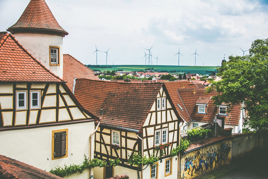
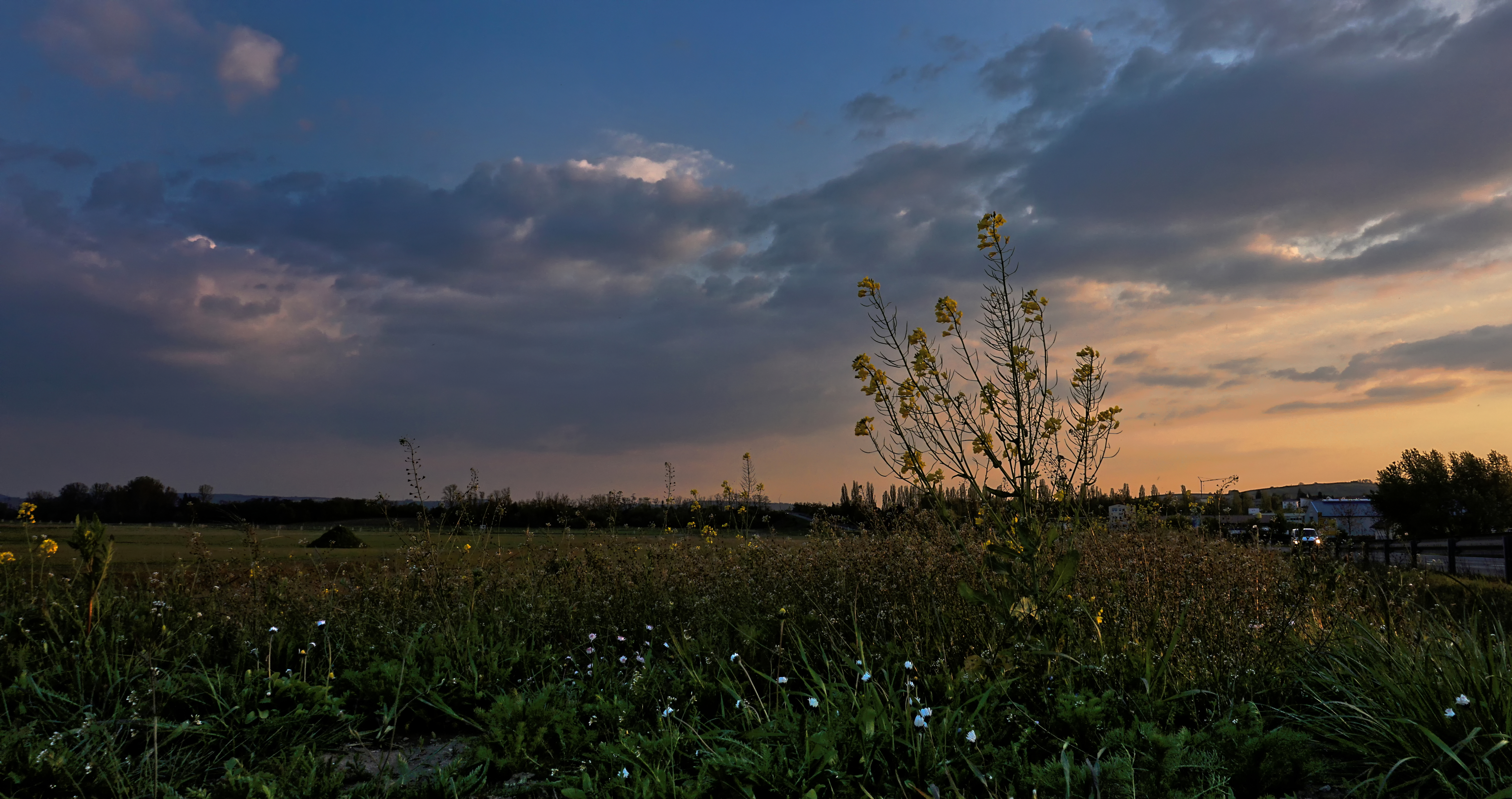
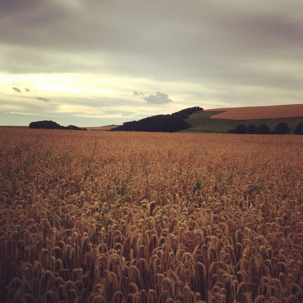
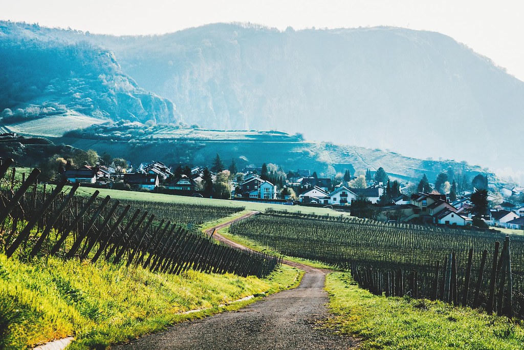
Related Photos:

Birds. Lots of 'em. [EXPLORED]

Sunshine in Rhein valley

The shadows are getting shorter
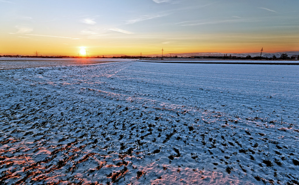
The Setting Winter Sun

Rosa Rose

Group Photo

The Kiirtan Flow

ice garland
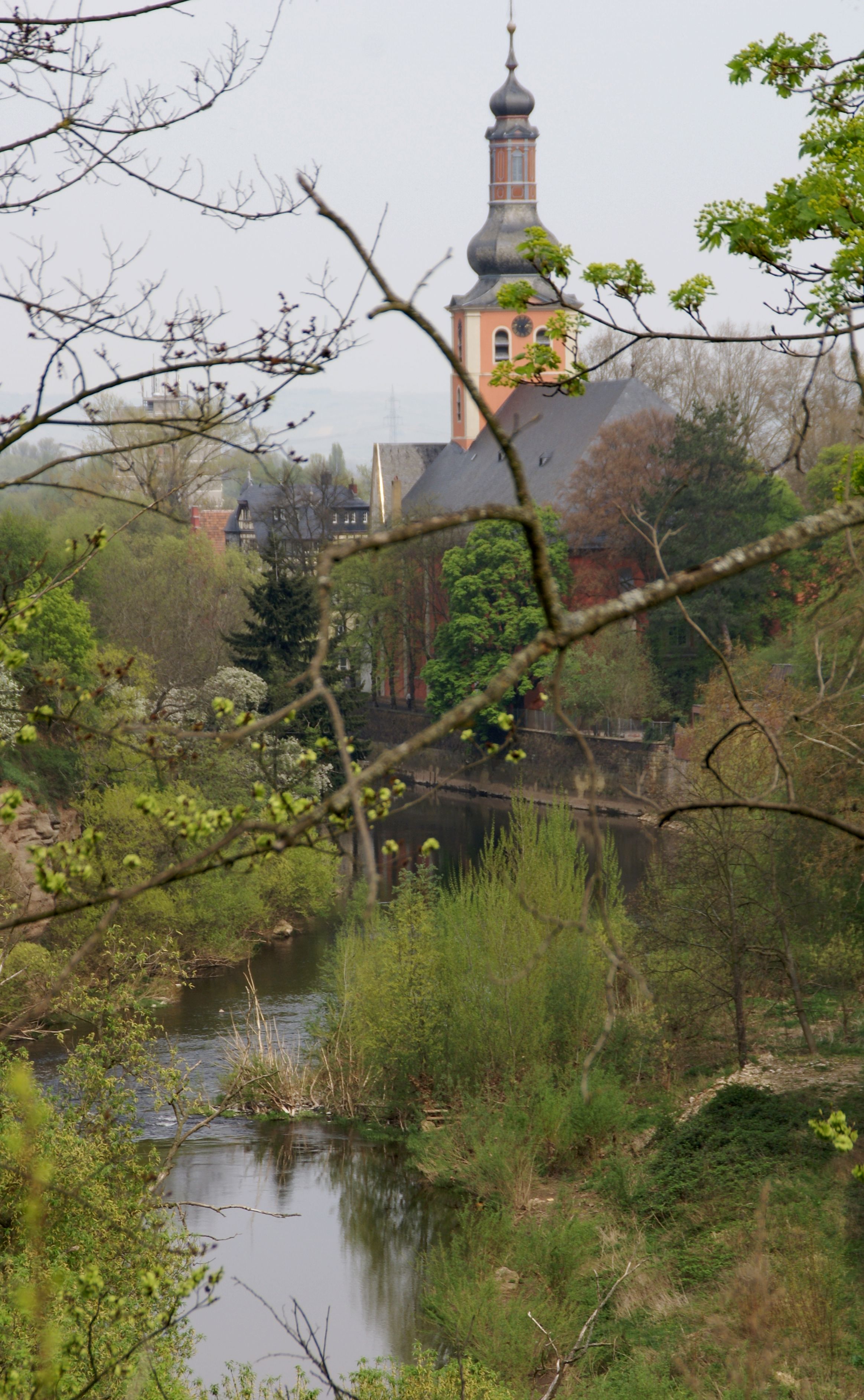
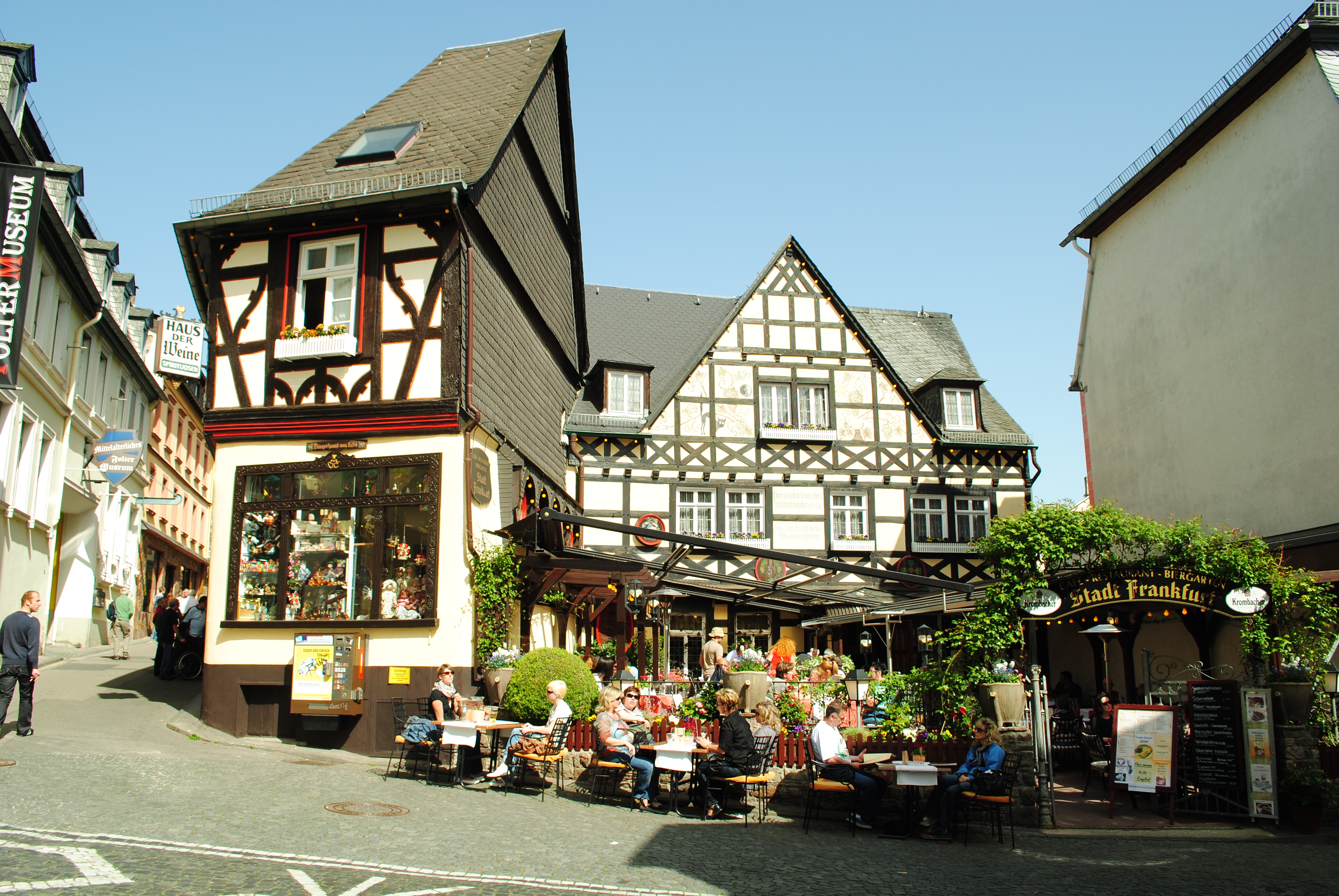
Bad Kreuznach, Panoramaweg, Blick zur Pauluskirche (panoramic route, view of the St. Paul's Church)
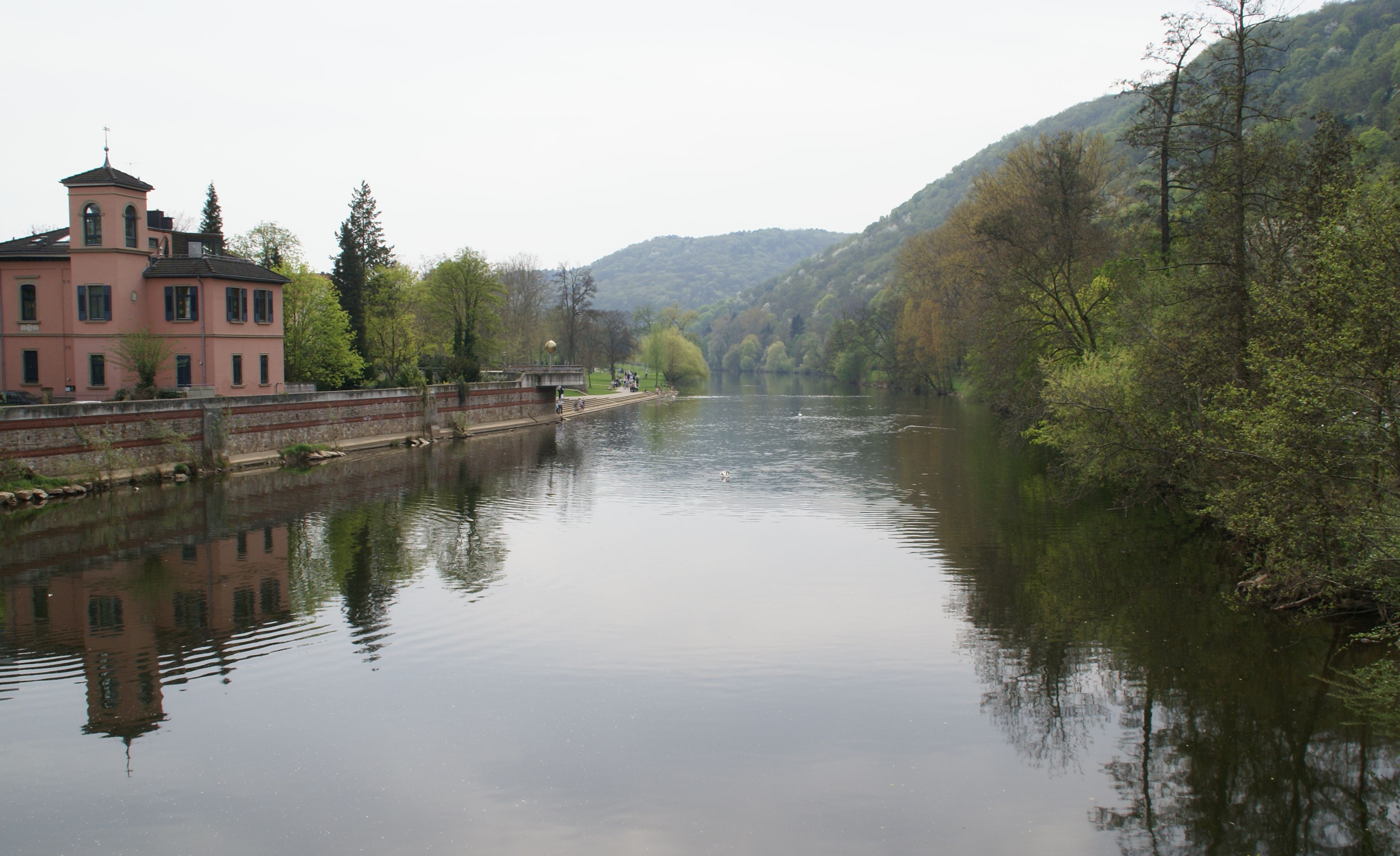
Bad Kreuznach, Blick von der Quellenhofbrücke (view from the Quellenhof bridge)

Basketball.
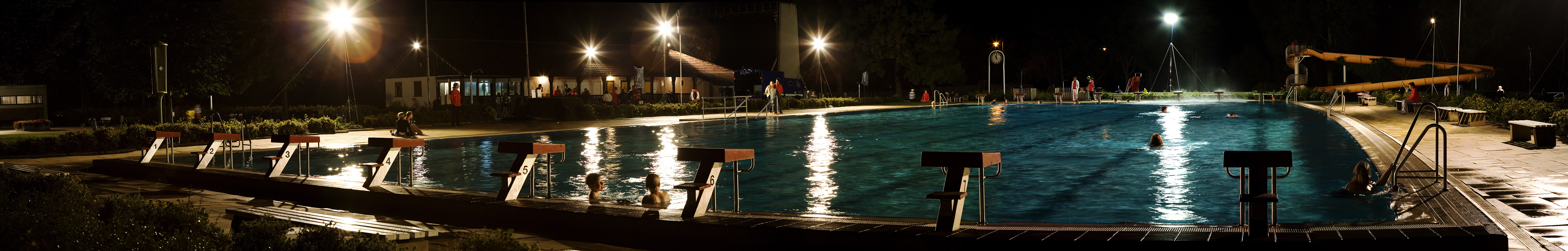
midnight swimming event
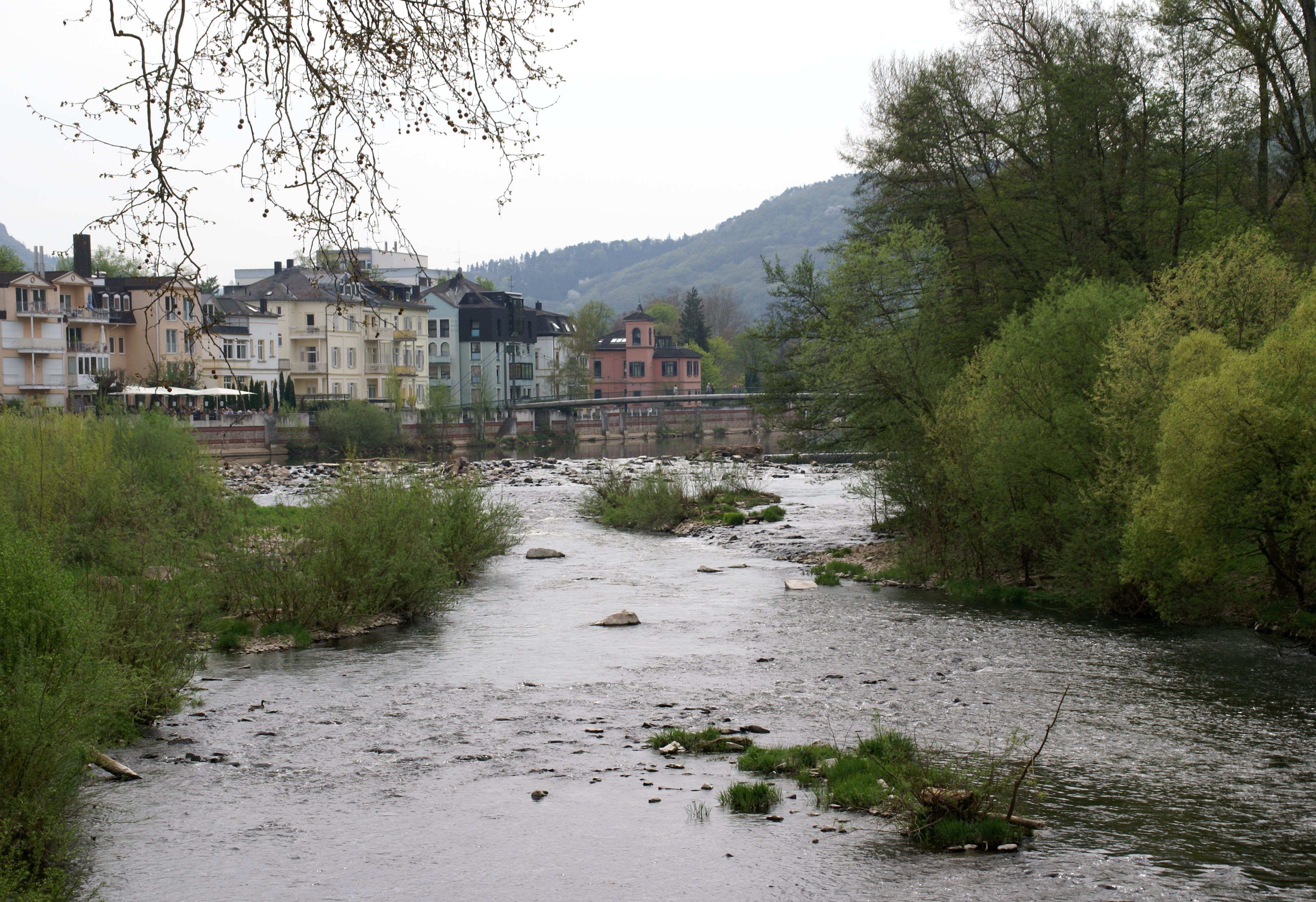
Bad Kreuznach, Kaiser-Wilhelm-Strasse, Blick über die Nahe zur Quellenhofbrücke (view over the Nahe to the Quellenhof bridge)
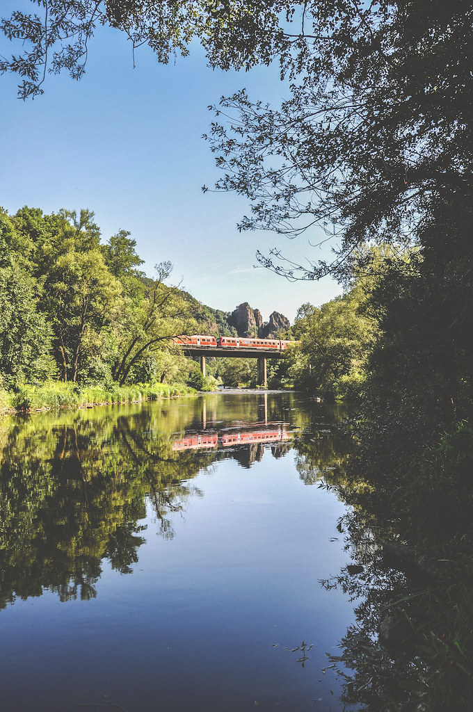
Rhine and Moselle Valleys.April 11 138

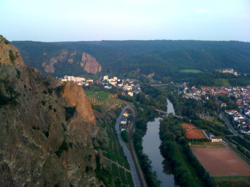
View over Bad Münster am Stein

So, jetzt wollte ich mir das Mittagsmagazin in Alzey beim public viewing ansehen, und was ist? Der Fernseher ist aus.
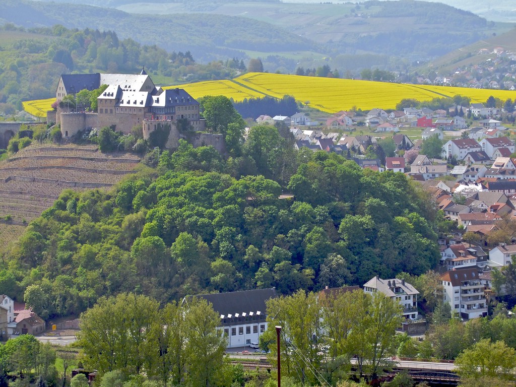
monastery ebernburg with rape field
Bad Münster am Stein-Ebernburg
the thing about keeping

Bad Kreuznach, Rhineland-Palatinate (state of germany), Heilig-Kreuz-Kirche, la chiesa di Santa Croce, la iglesia de la Santa Cruz, l'église de la Sainte-Croix, church of the Holy Cross (Wilhelmstraße)

View from the bench

Strohballen 2

Wendelsheim - Weihnachten 2014

Alzey/Rheinhessen
Aliens I live with
Close to Random Point #24
i feel the pain and it feels good, i knew it would
it's starting again
just passing through

31.05.2016 | Wörrstadt

Nature...
Photographer's Delight

Landschaft 2
Cotton candy and licorice whips
no one tells you that it is okay not to know

Trullo bei Wöllstein

The cloud

Unterm Baum

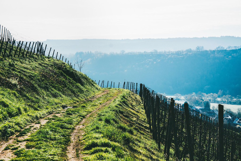
Sprendlingen, Wißberg - Via Vinea

Unser Weiher

Wendelsheim Panorama [EXPLORED]
Topographic Map of Siefersheim, Germany
Find elevation by address:

Places in Siefersheim, Germany:
Places near Siefersheim, Germany:
8a
5a
Badenheim
Frei-laubersheim
Philipp-Wehr-Straße 19, Frei-Laubersheim, Germany
Hauptstraße 45, Flonheim, Germany
Uffhofen
Biebelsheim
Obergasse 9, Biebelsheim, Germany
Flonheim
Bad Kreuznach
Burgenlandstraße 9
Gensingen
Kurhausstraße 39, Bad Münster am Stein-Ebernburg, Germany
Bad Münster Am Stein-ebernburg
Bad Münster Am Stein-ebernburg
Unnamed Road
Laubenheim
Schulstraße 28, Laubenheim, Germany
Nieder-hilbersheim
Recent Searches:
- Elevation of Elwyn Dr, Roanoke Rapids, NC, USA
- Elevation of Congressional Dr, Stevensville, MD, USA
- Elevation of Bellview Rd, McLean, VA, USA
- Elevation of Stage Island Rd, Chatham, MA, USA
- Elevation of Shibuya Scramble Crossing, 21 Udagawacho, Shibuya City, Tokyo -, Japan
- Elevation of Jadagoniai, Kaunas District Municipality, Lithuania
- Elevation of Pagonija rock, Kranto 7-oji g. 8"N, Kaunas, Lithuania
- Elevation of Co Rd 87, Jamestown, CO, USA
- Elevation of Tenjo, Cundinamarca, Colombia
- Elevation of Côte-des-Neiges, Montreal, QC H4A 3J6, Canada