Elevation map of Siavonga, Zambia
Location: Zambia > Southern Province >
Longitude: 28.5797981
Latitude: -16.223749
Elevation: 459m / 1506feet
Barometric Pressure: 96KPa
Elevation Map:
Satellite Map:
Related Photos:
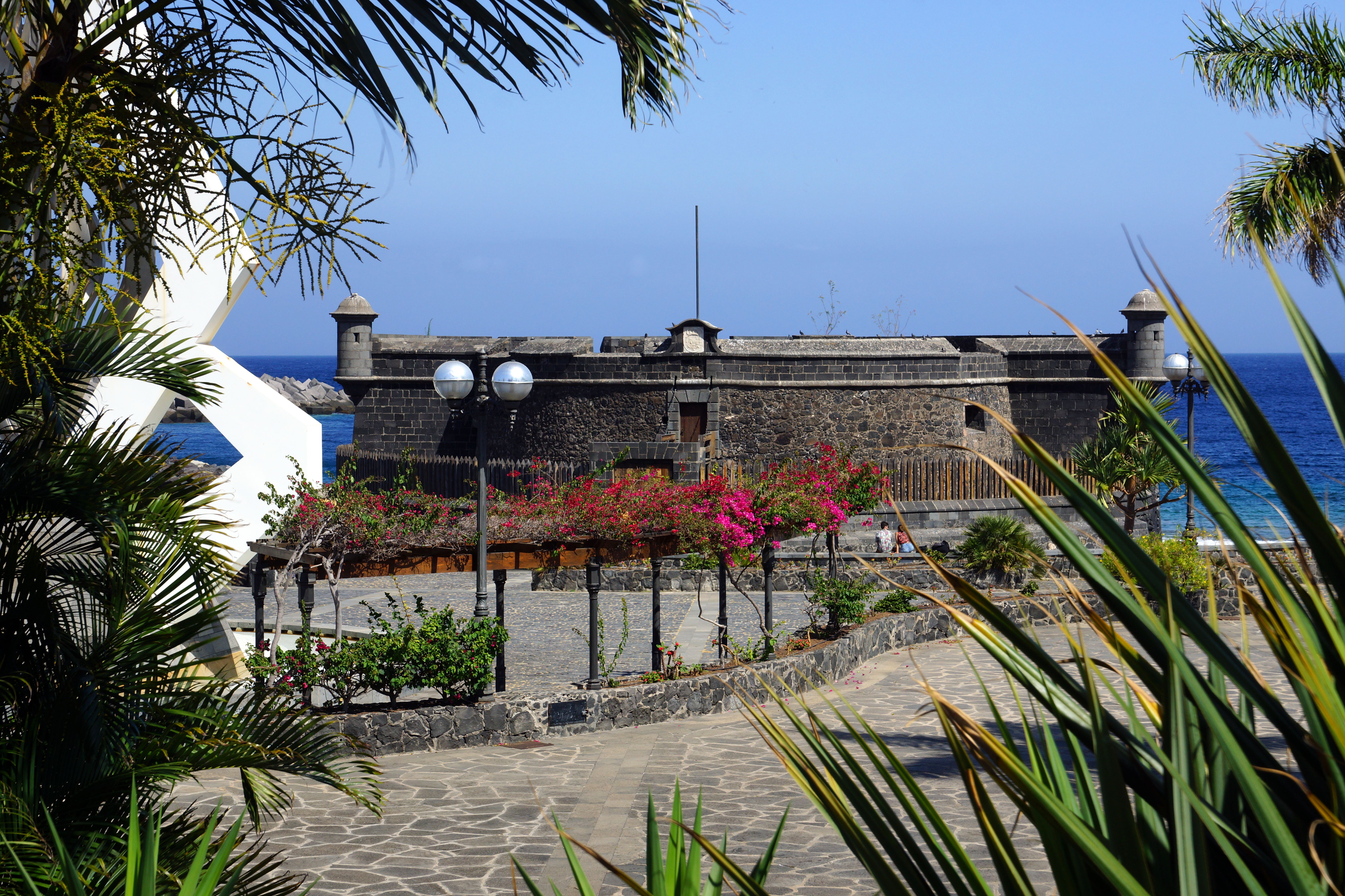
Tenerife - Santa Cruz de Tenerife, Castillo de San Juan
Topographic Map of Siavonga, Zambia
Find elevation by address:

Places in Siavonga, Zambia:
Places near Siavonga, Zambia:
Chirundu Border Post
Chirundu
Siavonga
Siavonga Zambia
Kariba
Kariba
Riverside Farm Institute
Kafue River Bridge
Kafue
Kariba
Ruckomechi Camp
Mana Pools
Recent Searches:
- Elevation of Homestead Ridge, New Braunfels, TX, USA
- Elevation of Orchard Road, Orchard Rd, Marlborough, NY, USA
- Elevation of 12 Hutchinson Woods Dr, Fletcher, NC, USA
- Elevation of Holloway Ave, San Francisco, CA, USA
- Elevation of Norfolk, NY, USA
- Elevation of - San Marcos Pass Rd, Santa Barbara, CA, USA
- Elevation of th Pl SE, Issaquah, WA, USA
- Elevation of 82- D Rd, Captain Cook, HI, USA
- Elevation of Harlow CM20 2PR, UK
- Elevation of Shenyang Agricultural University, Dong Ling Lu, Shen He Qu, Shen Yang Shi, Liao Ning Sheng, China