Elevation of Shoshone, ID, USA
Location: United States > Idaho > Lincoln County >
Longitude: -114.40587
Latitude: 42.9360165
Elevation: 1212m / 3976feet
Barometric Pressure: 88KPa
Elevation Map:
Satellite Map:
Related Photos:
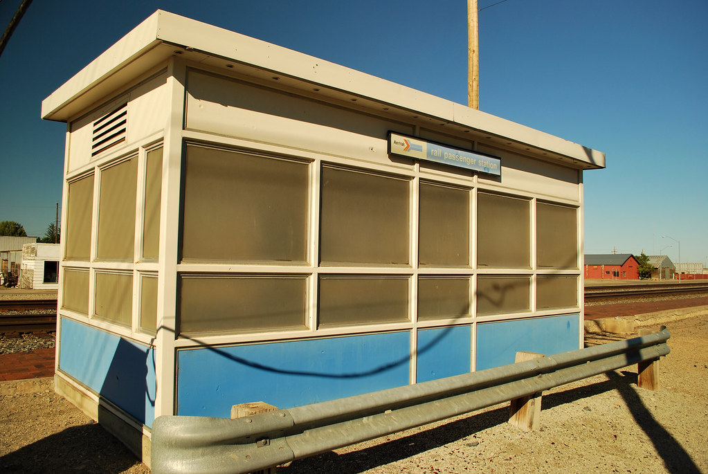
Shoshone Idaho Amshack
Along Idaho Highway 26

Air St’Lukes Twin Falls Idaho

Air St’Lukes Twin Falls Idaho
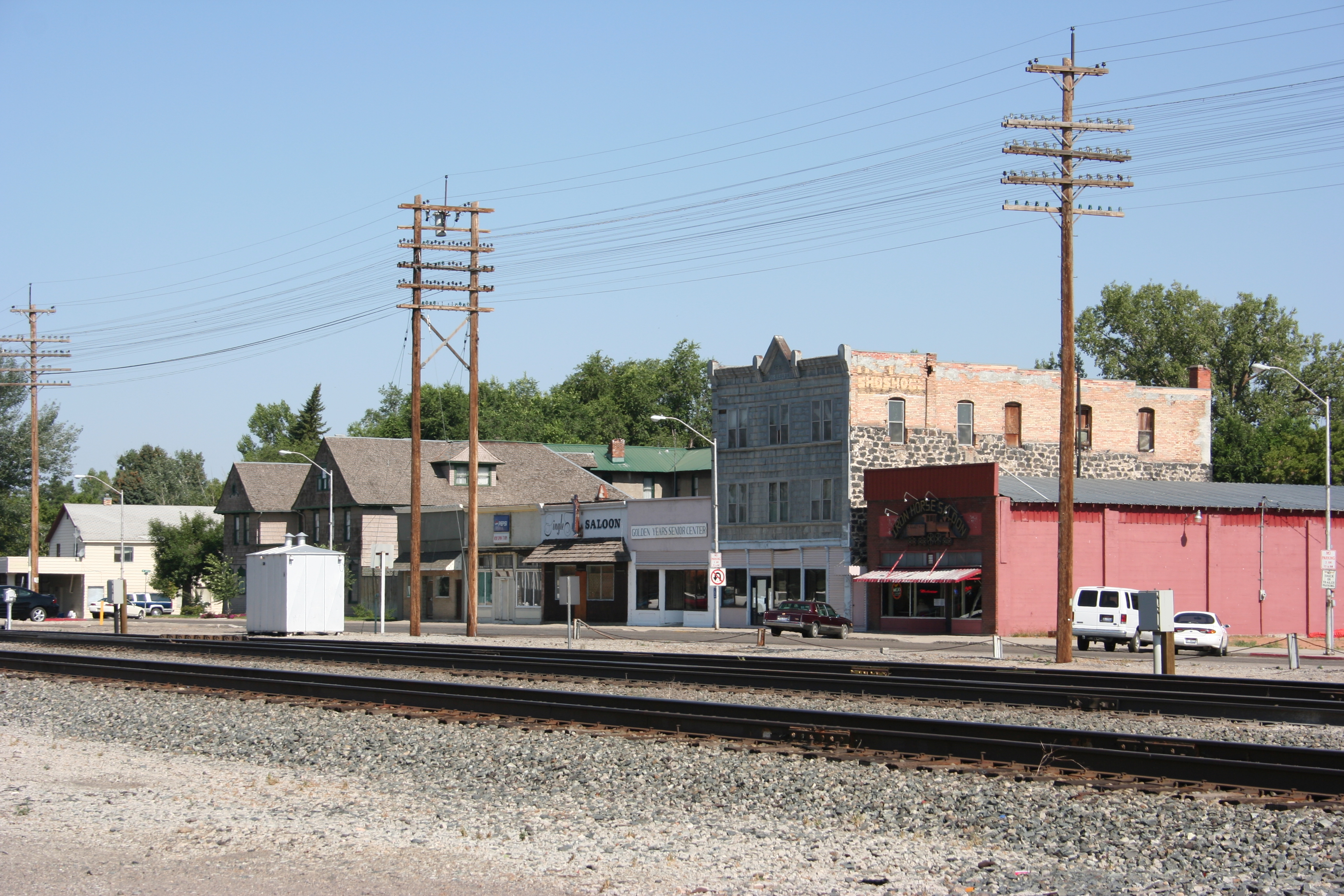
Shoshone, Idaho

.
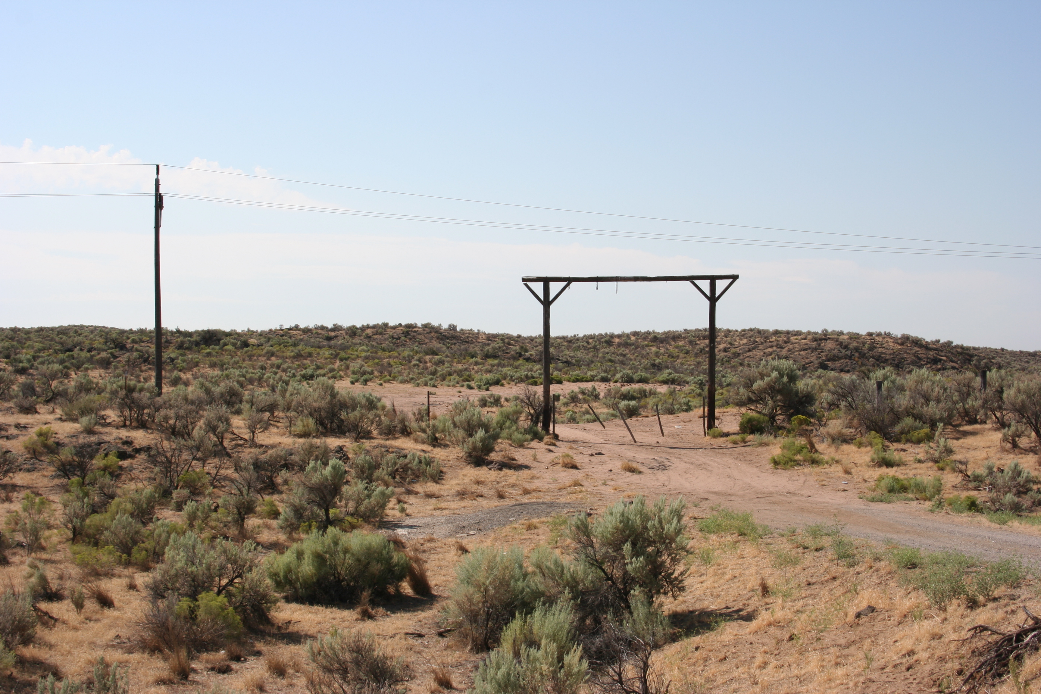
Abandoned windmill
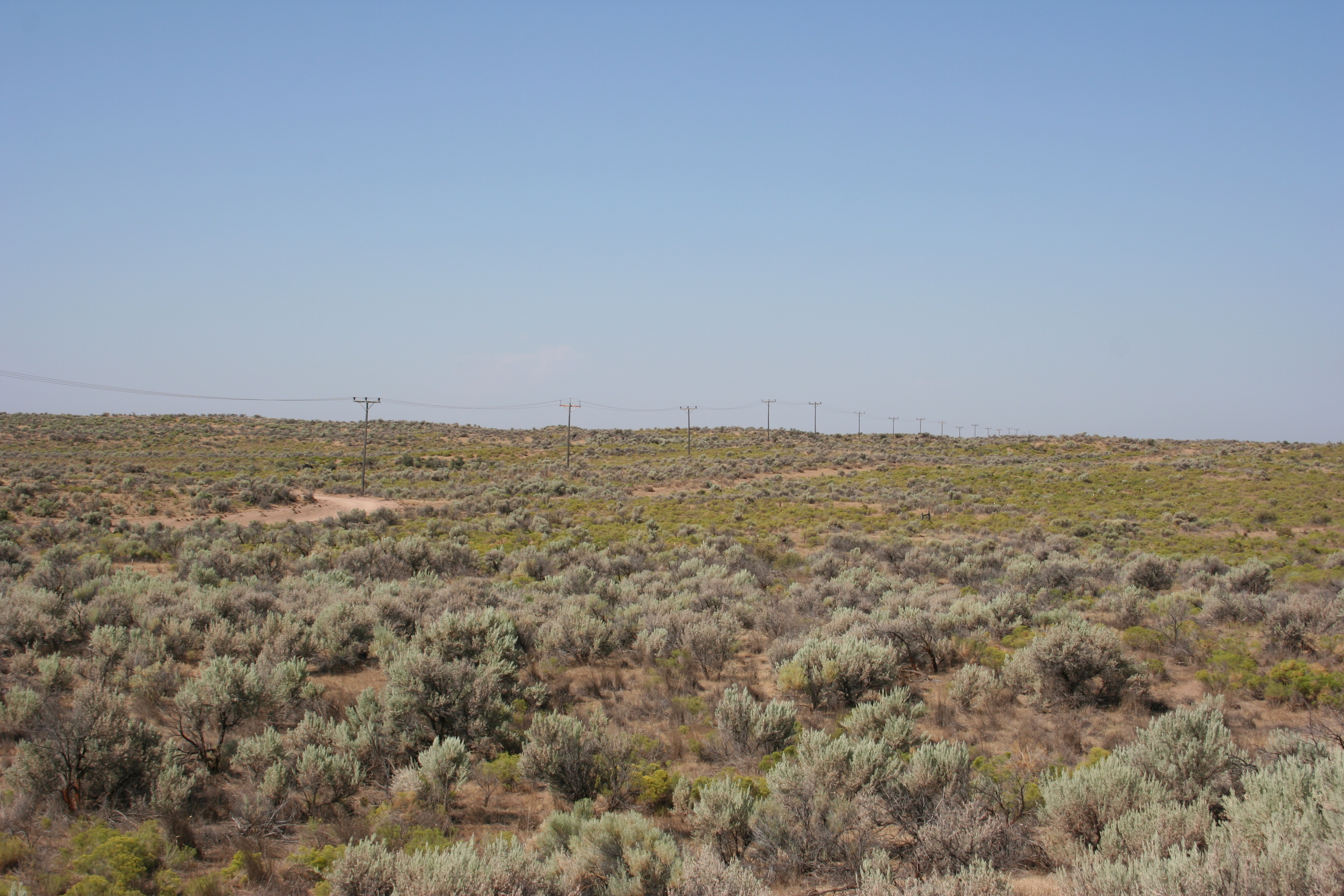
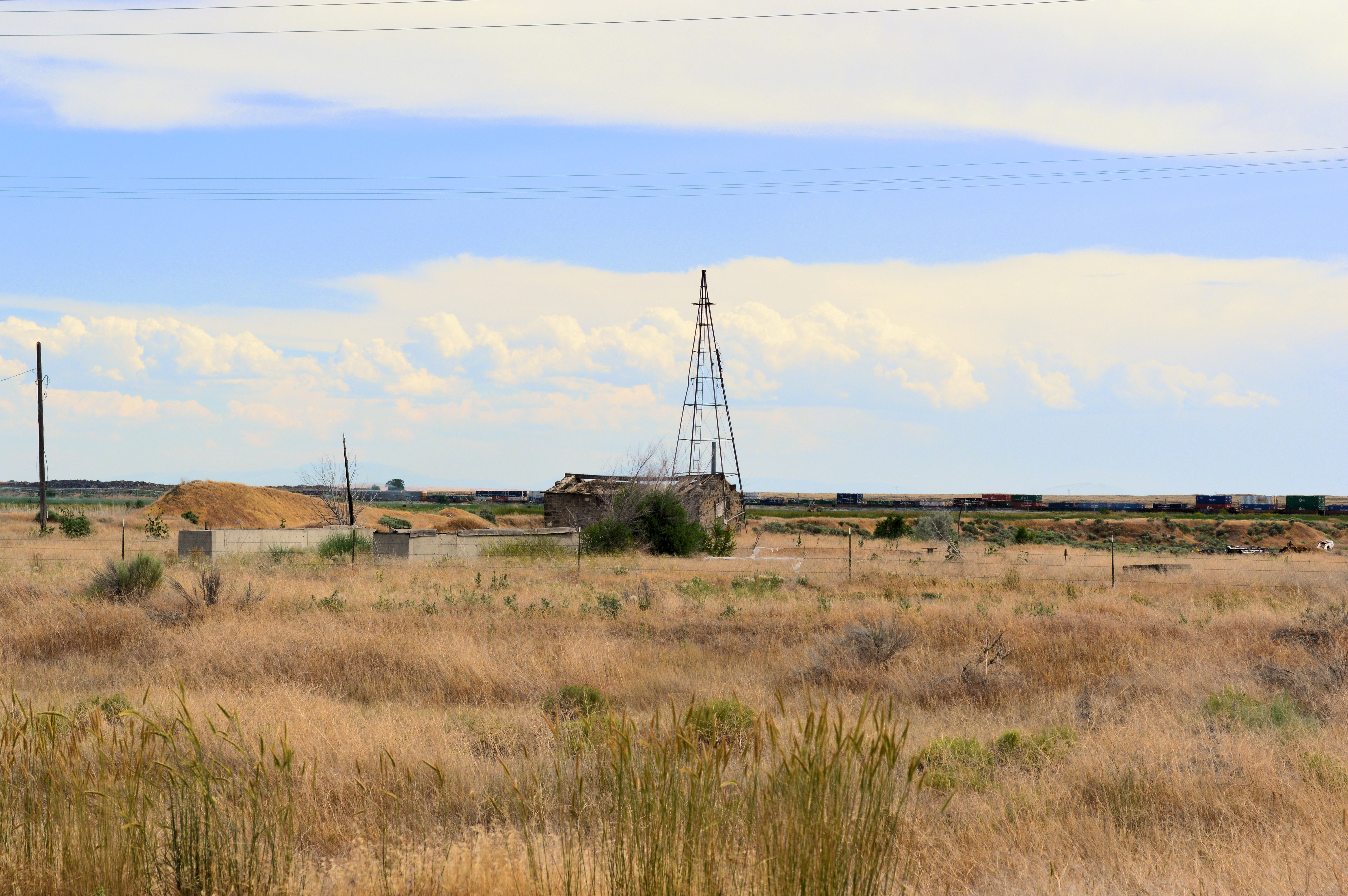
Telegraph Road
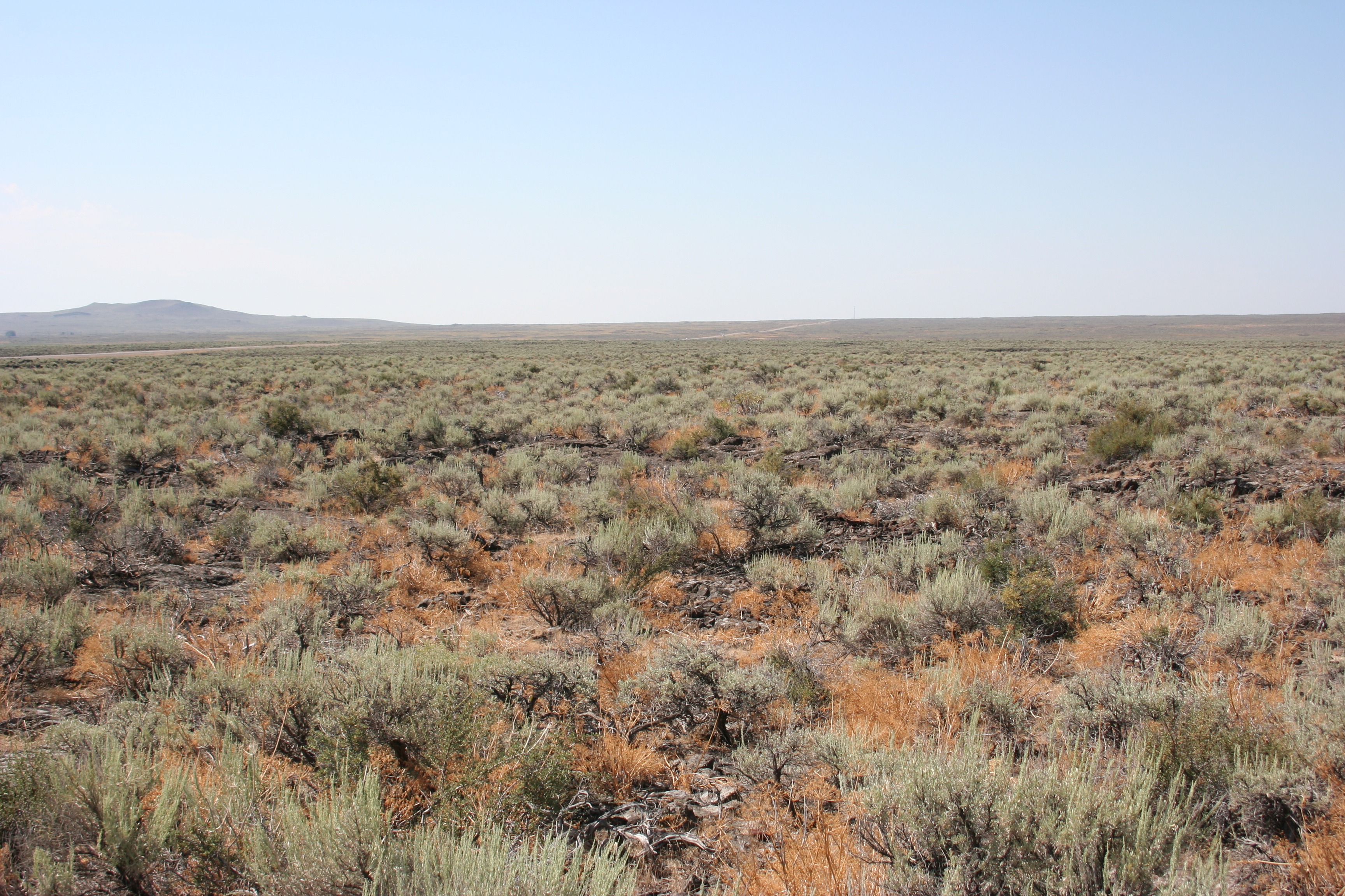
Along Idaho Highway 75

Along Idaho Highway 26
Topographic Map of Shoshone, ID, USA
Find elevation by address:

Places near Shoshone, ID, USA:
222 E 520 N
Dietrich
1437 N Fillmore St
Jerome County
Jerome
E S, Jerome, ID, USA
Lincoln County
Richfield
S E, Jerome, ID, USA
1180 Maestas Rd
Hunt Rd, Jerome, ID, USA
A S E, Jerome, ID, USA
Gooding
Perrine Memorial Bridge
Wendell
W Main St, Wendell, ID, USA
Shoshone Falls
Gooding County
656 Northfork Rd
Magic Resort
Recent Searches:
- Elevation of SW 57th Ave, Portland, OR, USA
- Elevation of Crocker Dr, Vacaville, CA, USA
- Elevation of Pu Ngaol Community Meeting Hall, HWHM+3X7, Krong Saen Monourom, Cambodia
- Elevation of Royal Ontario Museum, Queens Park, Toronto, ON M5S 2C6, Canada
- Elevation of Groblershoop, South Africa
- Elevation of Power Generation Enterprises | Industrial Diesel Generators, Oak Ave, Canyon Country, CA, USA
- Elevation of Chesaw Rd, Oroville, WA, USA
- Elevation of N, Mt Pleasant, UT, USA
- Elevation of 6 Rue Jules Ferry, Beausoleil, France
- Elevation of Sattva Horizon, 4JC6+G9P, Vinayak Nagar, Kattigenahalli, Bengaluru, Karnataka, India