Elevation of Short St, Henrietta, TX, USA
Location: United States > Texas > Clay County > Henrietta >
Longitude: -98.344151
Latitude: 33.7191379
Elevation: 290m / 951feet
Barometric Pressure: 98KPa
Elevation Map:
Satellite Map:
Related Photos:
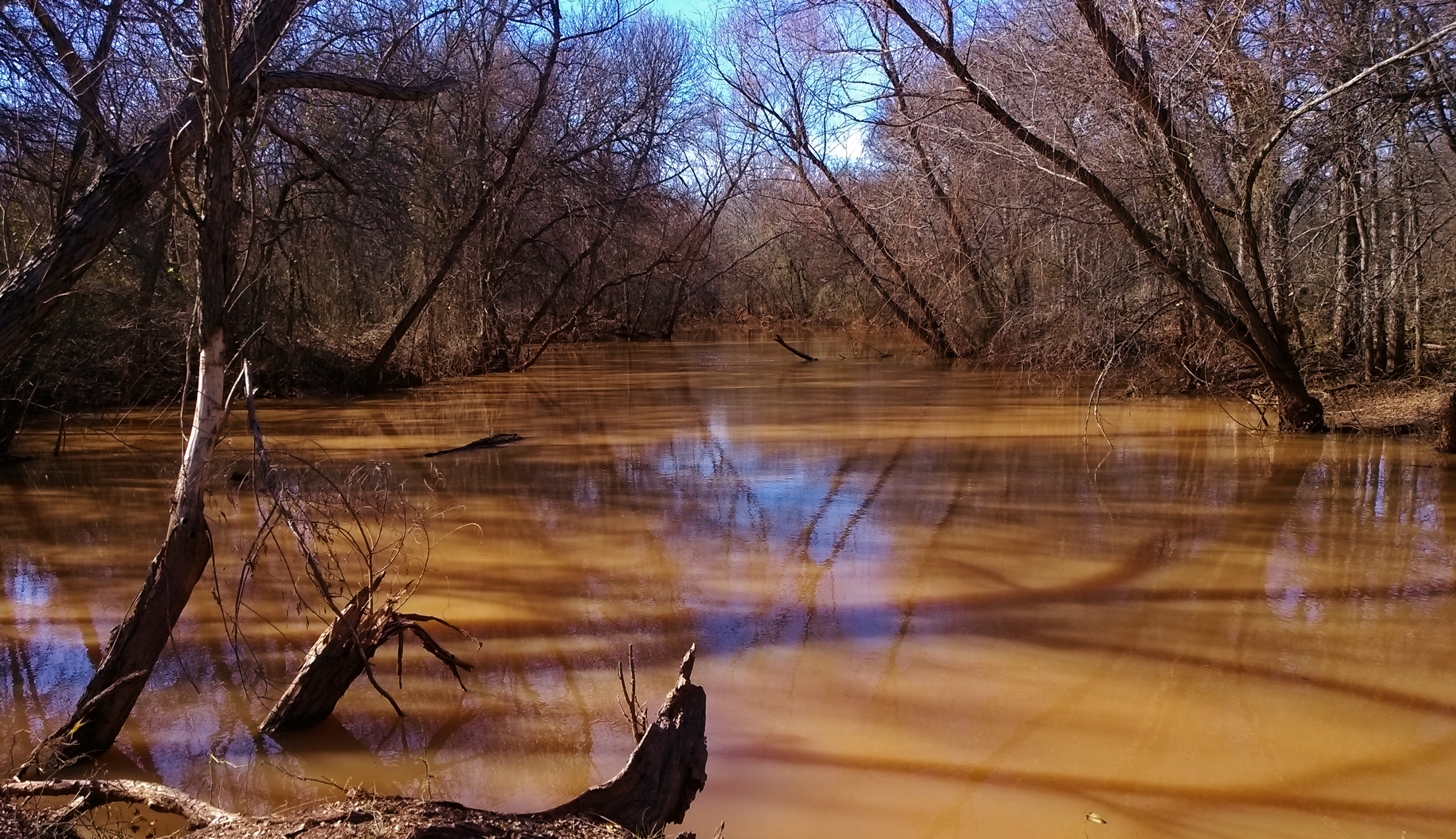
shadows on the marsh
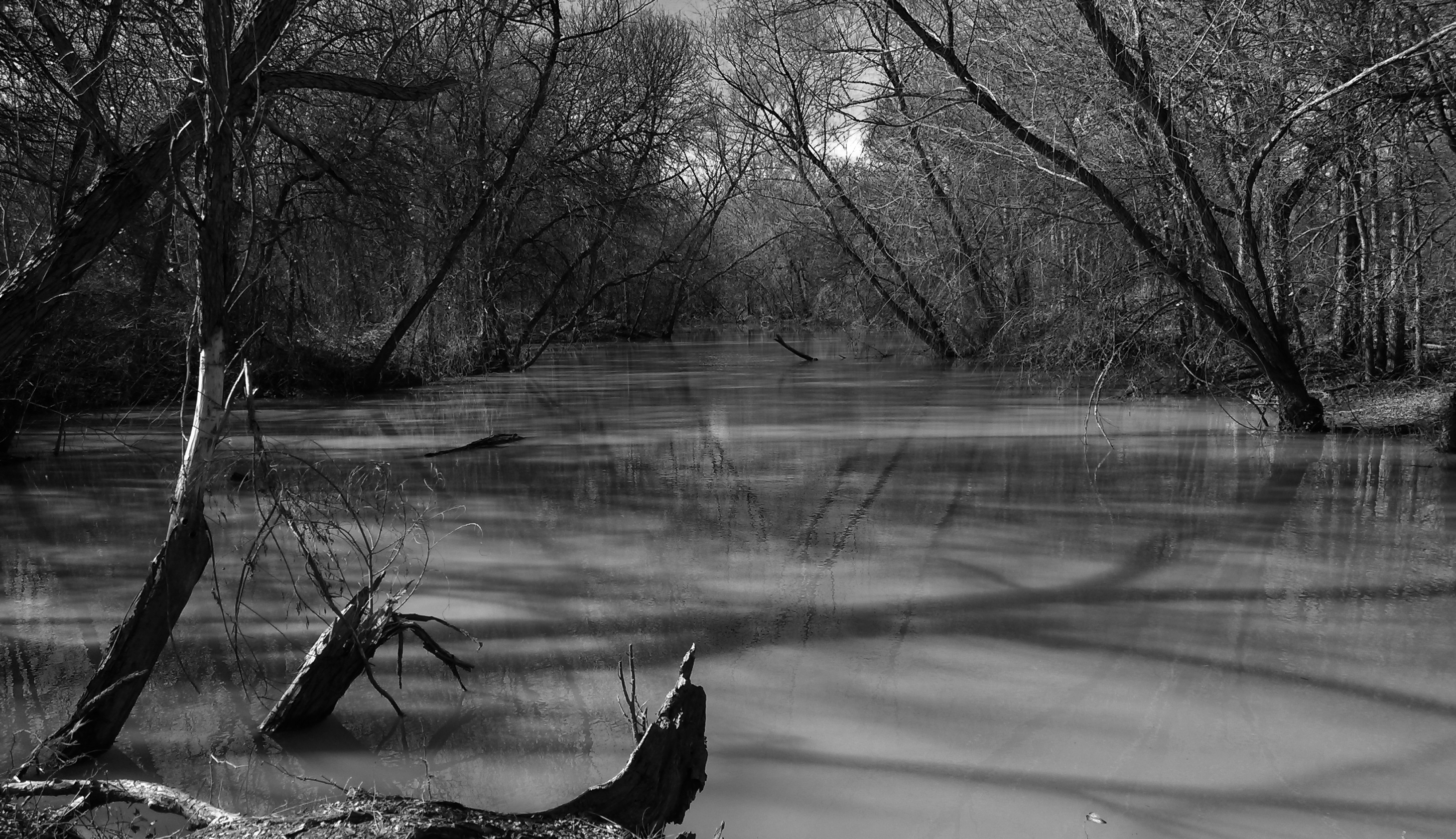
shadowlands, the Arrowhead marsh
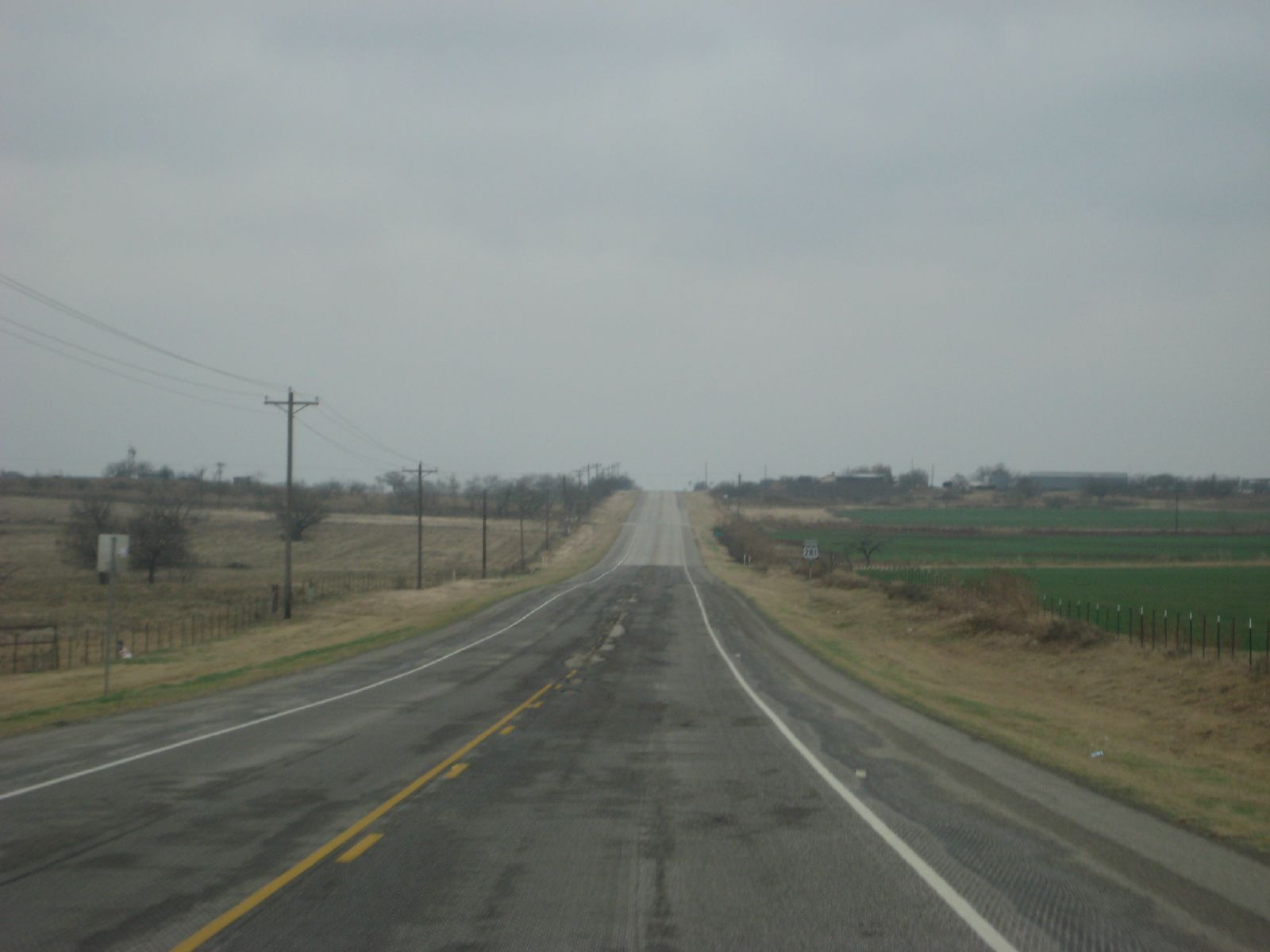
empty highway 281 southwest

Cloud Drama

In a hurry 5

In a hurry 3

4th at debbies 069

4th at debbies 068

4th at debbies 066

Black-tailed prairie dog
Topographic Map of Short St, Henrietta, TX, USA
Find elevation by address:

Places near Short St, Henrietta, TX, USA:
Old Joy Shannon Rd, Henrietta, TX, USA
Fletcher Road
Windthorst
US-, Henrietta, TX, USA
Buffalo Springs Rd, Bellevue, TX, USA
1114 Treadwell Rd
Westfork Road
Squaw Mountain Ranch
Bellevue
FM, Bellevue, TX, USA
Blake Brothers Ranch
TX-, Jermyn, TX, USA
Jack County
Bowie
452 Ranchview Ct
Independence Hall
Jacksboro
E Belknap St, Jacksboro, TX, USA
Co Rd, Chico, TX, USA
TX-, Bowie, TX, USA
Recent Searches:
- Elevation of S Layton Cir W, Layton, UT, USA
- Elevation of F36W+3M, Mussoorie, Uttarakhand, India
- Elevation of Fairland Ave, Fairhope, AL, USA
- Elevation of Sunset Dr, Richmond, VA, USA
- Elevation of Grodna District, Hrodna Region, Belarus
- Elevation of Hrodna, Hrodna Region, Belarus
- Elevation of Sandia Derby Estates, Tijeras, NM, USA
- Elevation of 23 Sunrise View Ct, Tijeras, NM, USA
- Elevation of Lytham Ln, Katy, TX, USA
- Elevation of Tater Hill, Oklahoma, USA