Elevation of Shore Rd, Shelburne, NS B0T 1W0, Canada
Location: Canada > Nova Scotia > Shelburne County > Shelburne >
Longitude: -65.414038
Latitude: 43.562922
Elevation: 6m / 20feet
Barometric Pressure: 101KPa
Elevation Map:
Satellite Map:
Related Photos:
DSC01378 - Bye to Cape Roseway Lighthouse Station
DSC01188 - I made it - Cape Roseway Lighthouse Station - finally
DSC01168 - New Jerusalem Farm
DSC01292 - Views from the Top
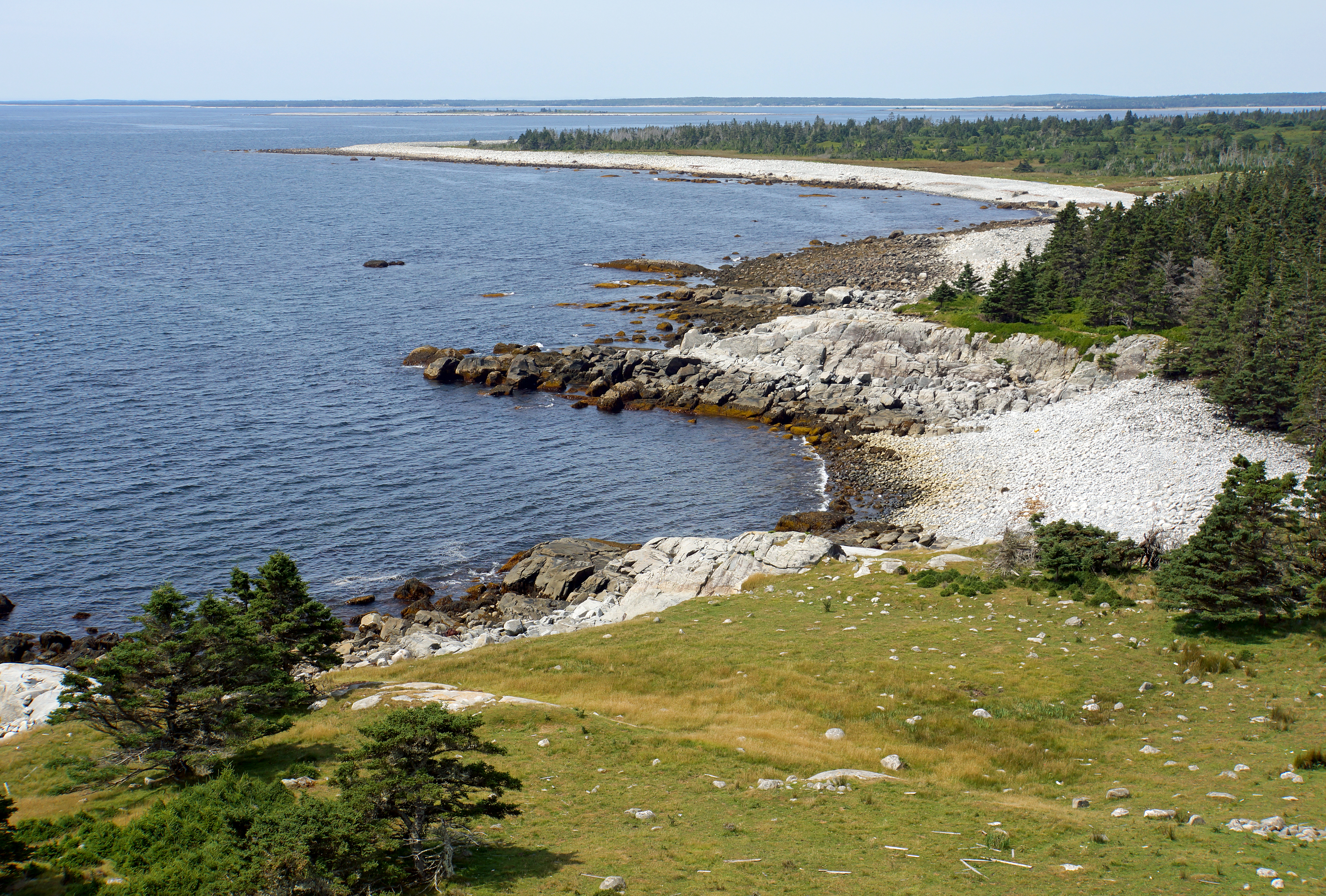
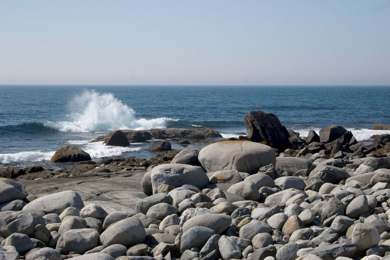
DSC01295 - Coastline of McNutt's Island
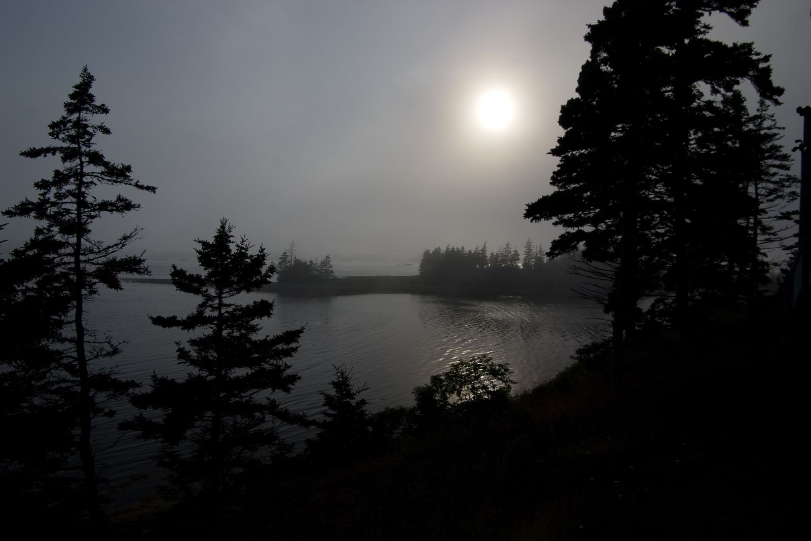
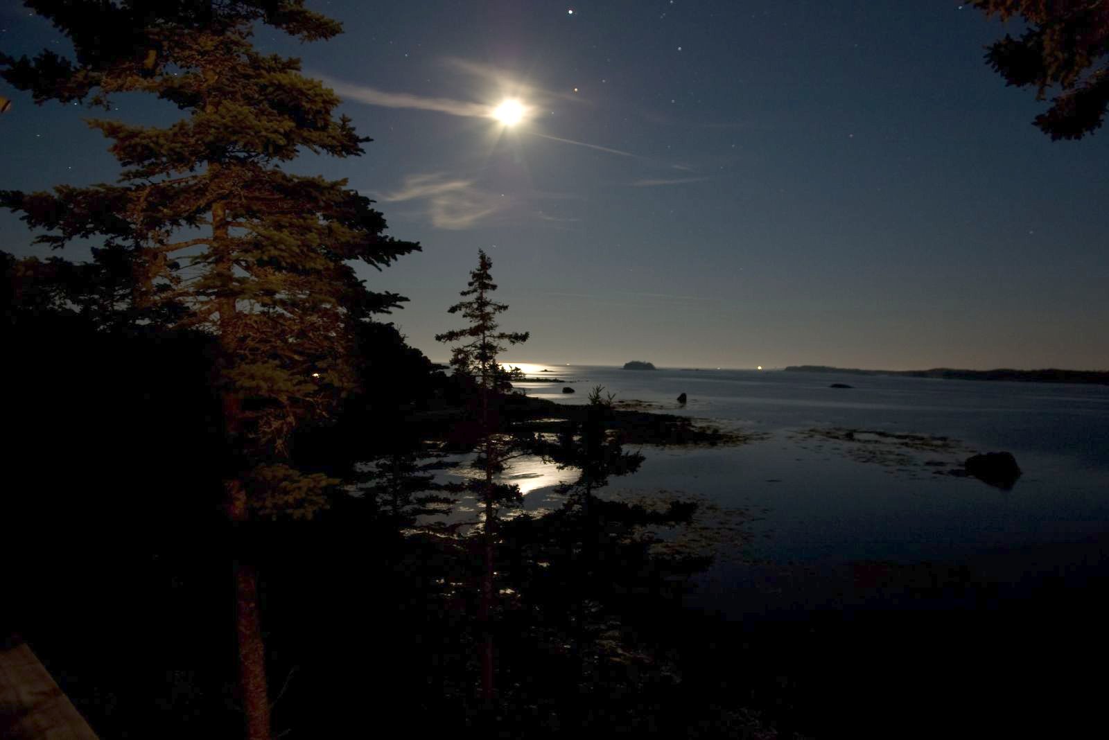
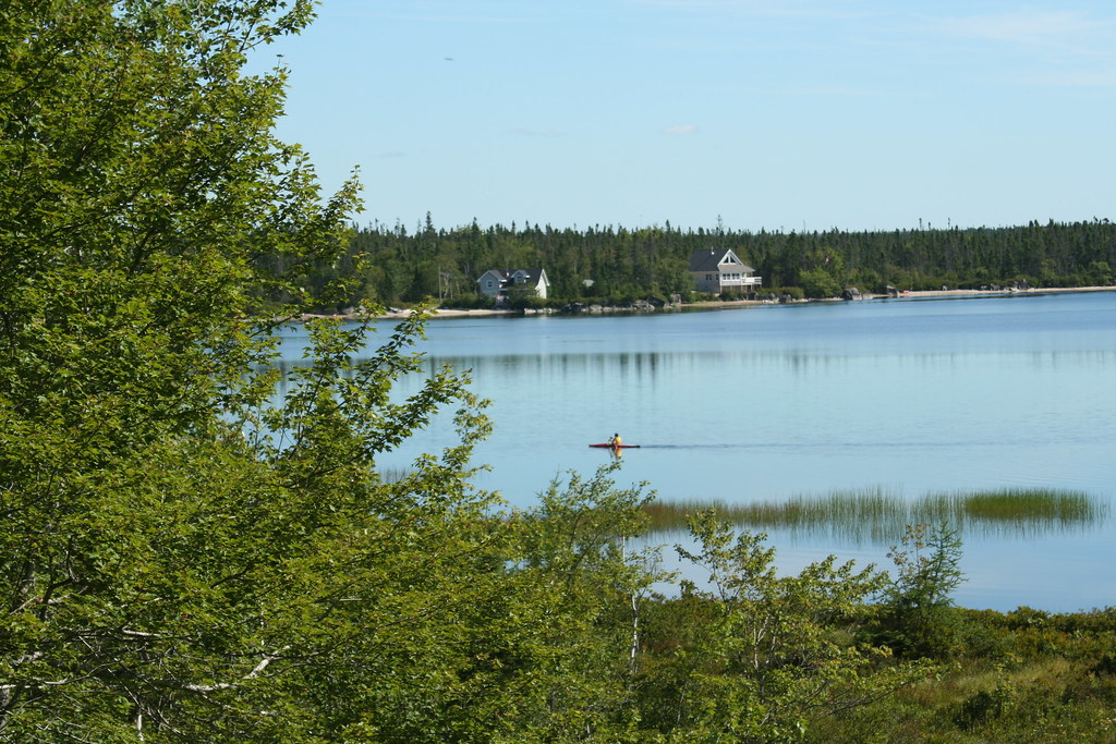
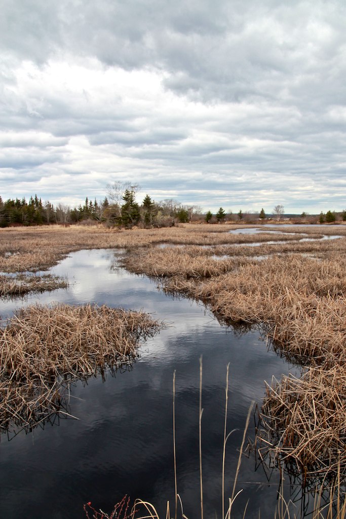
Eel Bay, Nova Scotia
Eel Bay, Nova Scotia
Eel Bay, Nova Scotia
Eel Bay, Nova Scotia
IMG_2190 (3)
DSC01245 - Last view of Cape Roseway Lighthouse Station
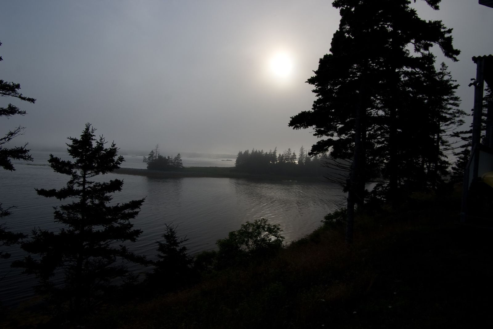
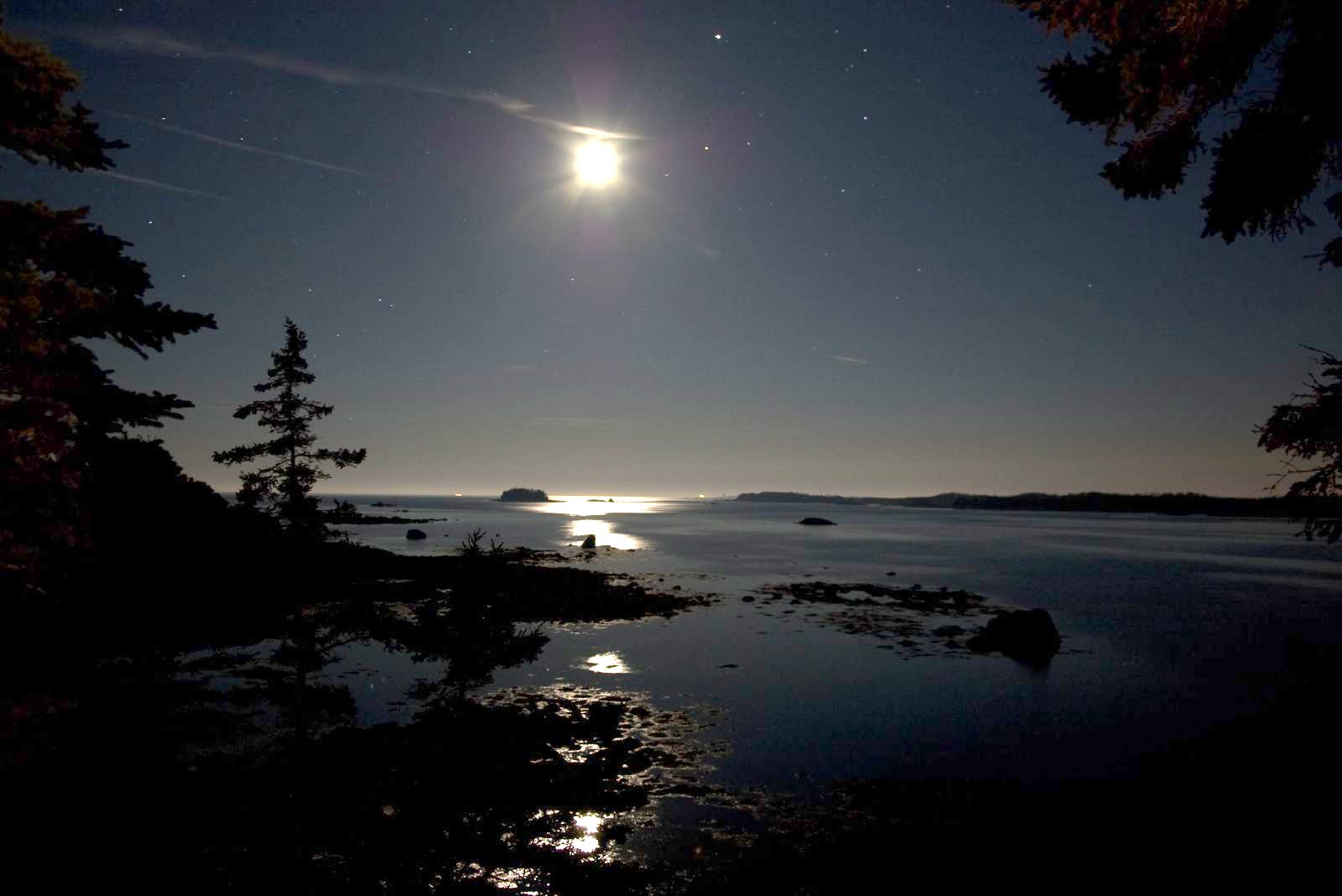
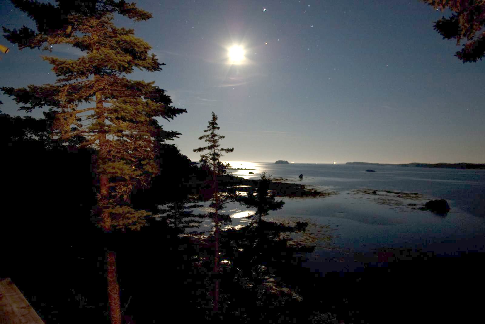
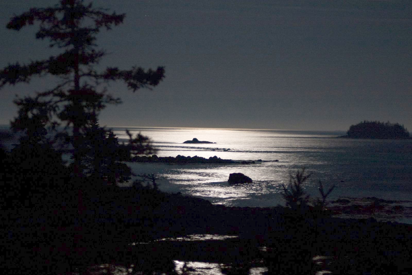
Eel Bay, Nova Scotia
Eel Bay, Nova Scotia (G83)
DSC01274 - View from Lighthouse
Eel Bay, Nova Scotia
Baccaro, Nova Scotia
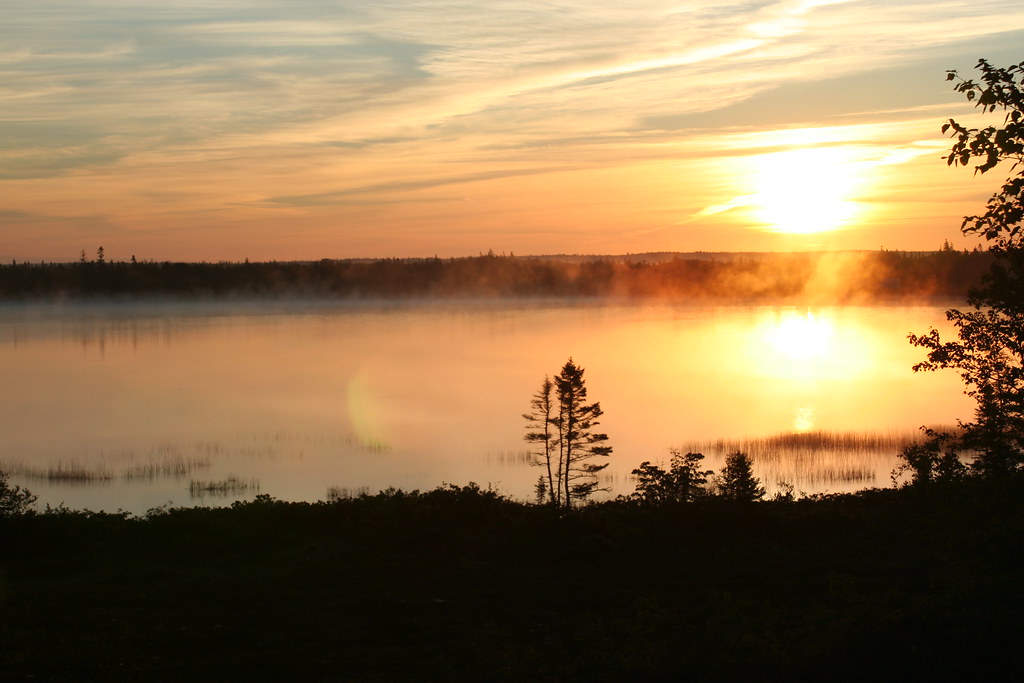
DSC01171 - Here comes the sun....
DSC01172 - Blow............

DSC01169 - New Jerusalem Farm
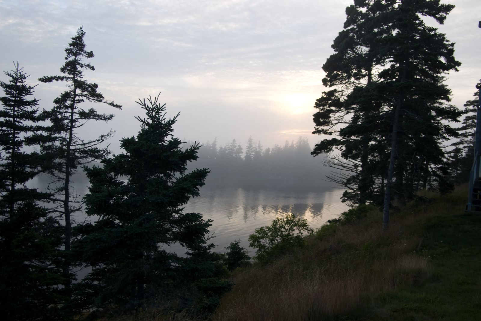
Eel Bay, Nova Scotia
Eel Bay, Nova Scotia

Clyde River, NS - Home
Vacation 2007 005
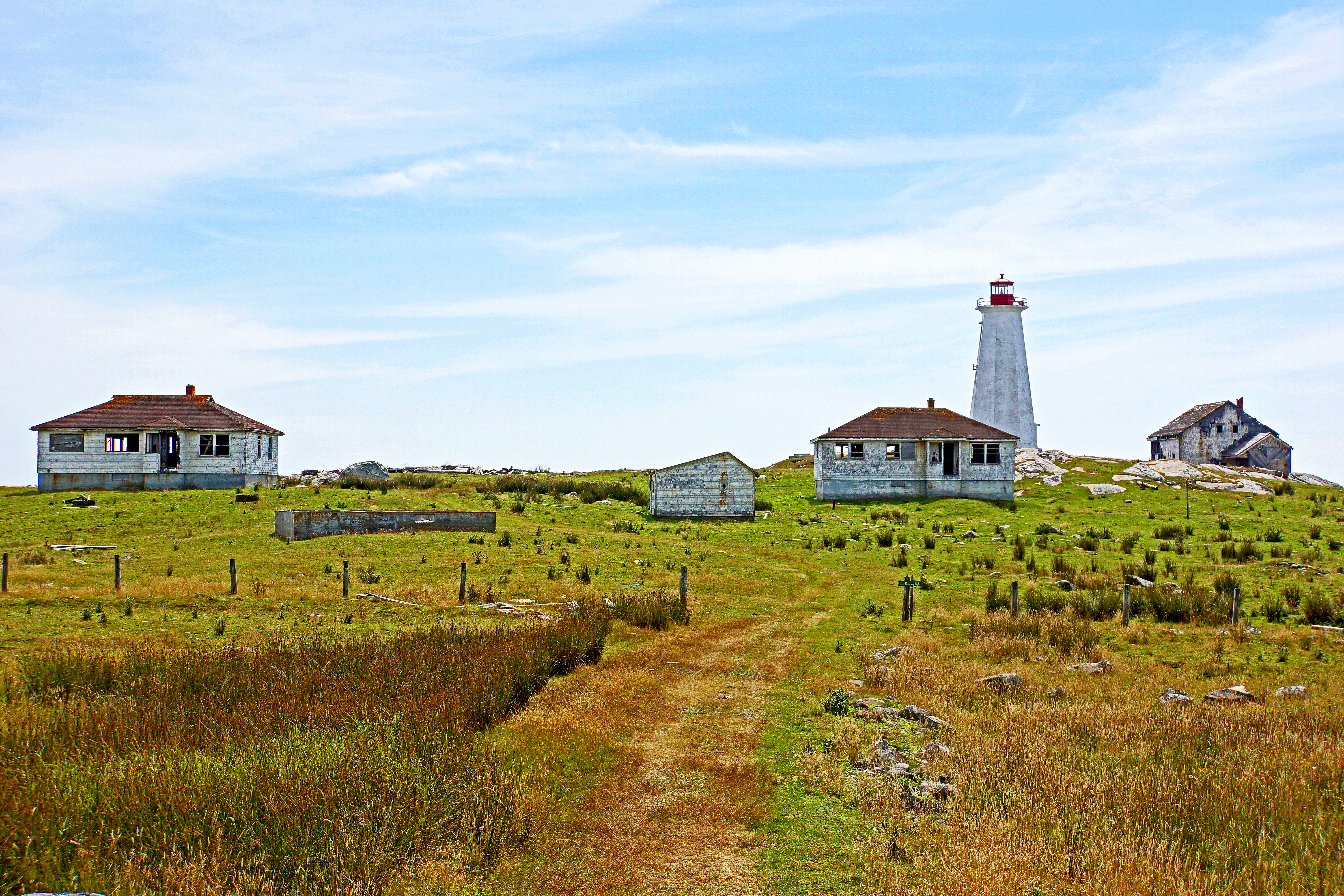
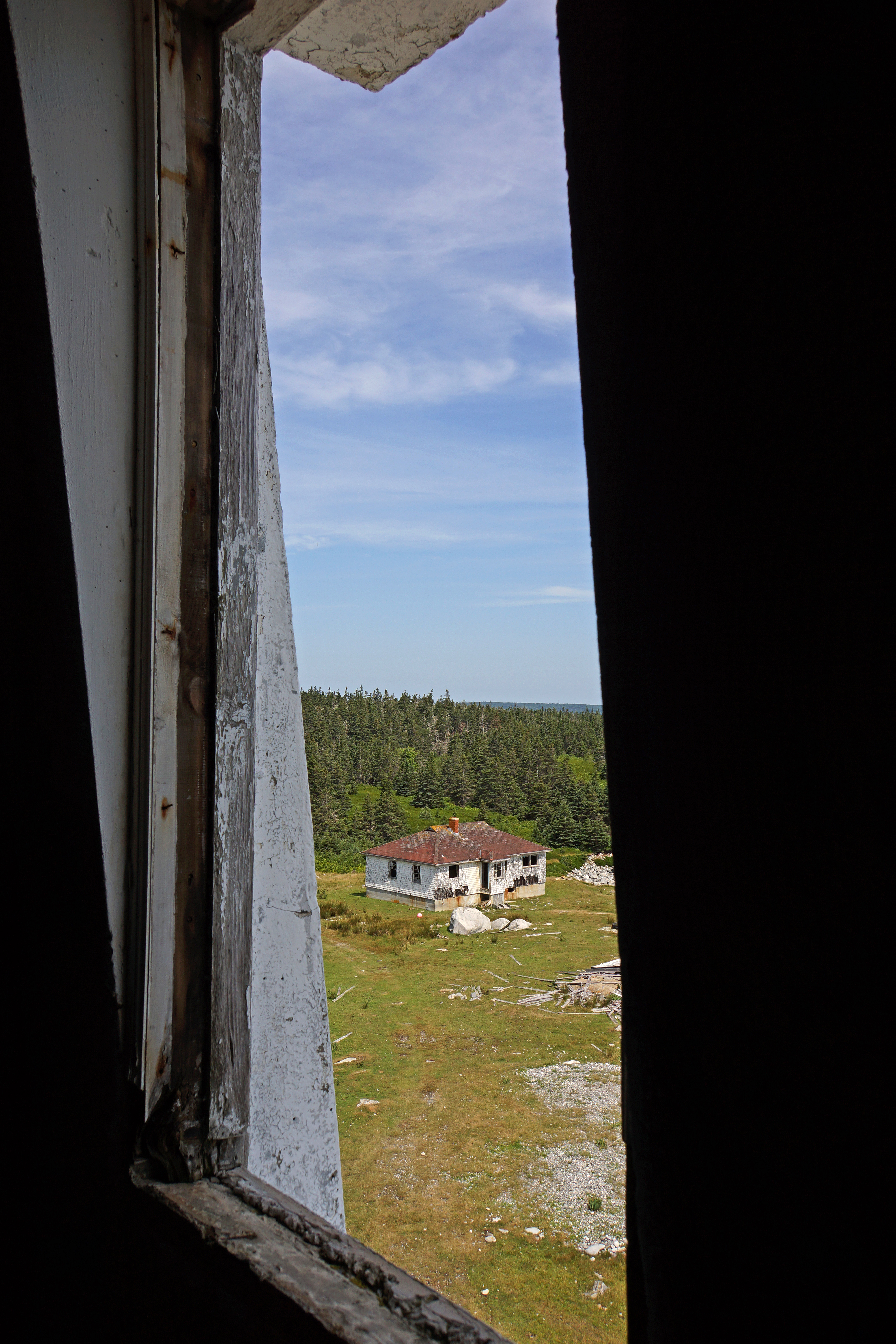
DSC01243 - Cape Roseway Lighthouse Station
Vacation 2007 001
almost late
Barrington, NS
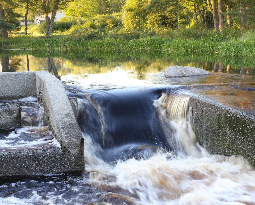
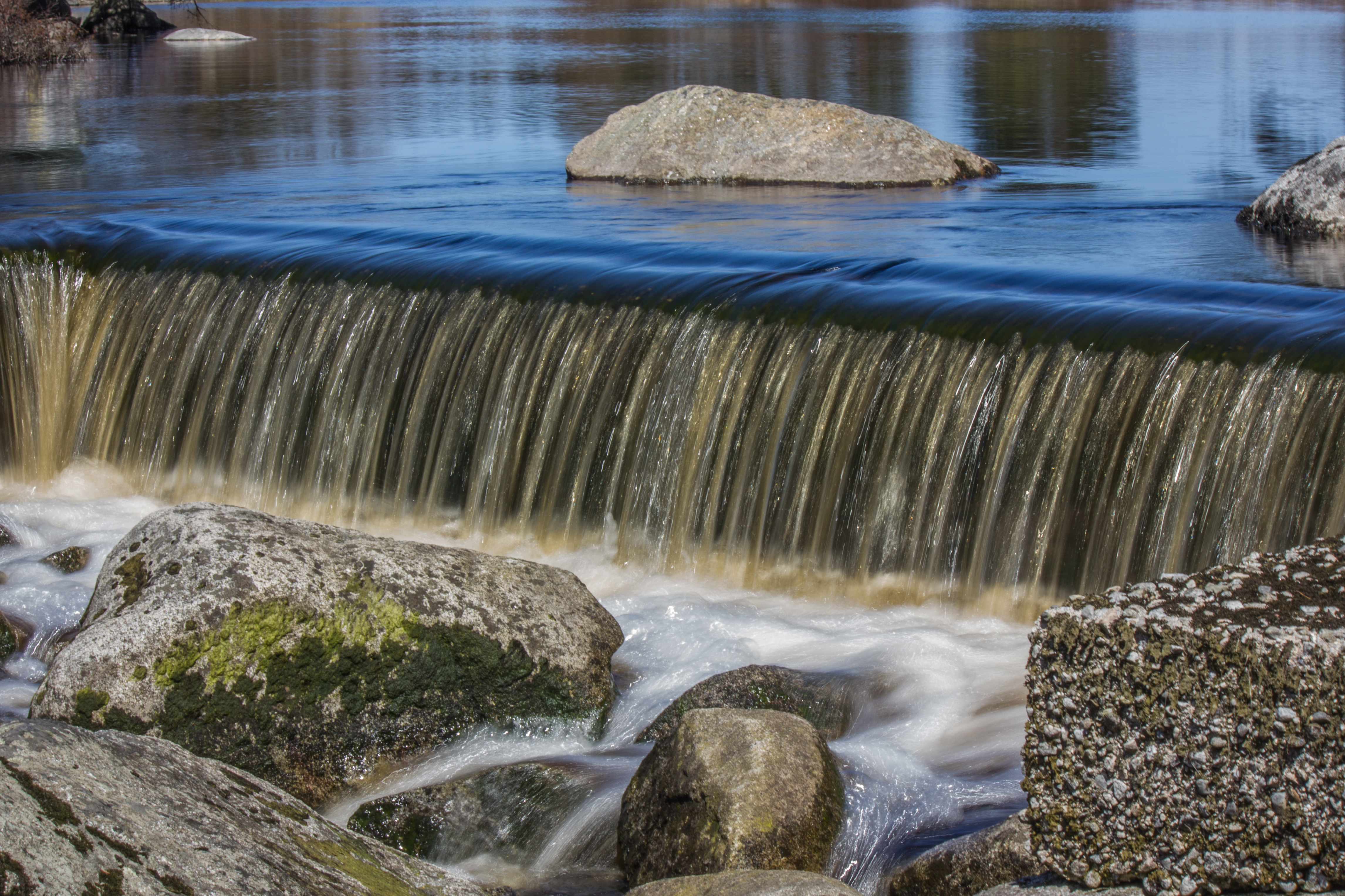
Main Spillway, Barrington Woolen Mill Dam

Aquaculture_Canada-3

Aquaculture_Canada-4
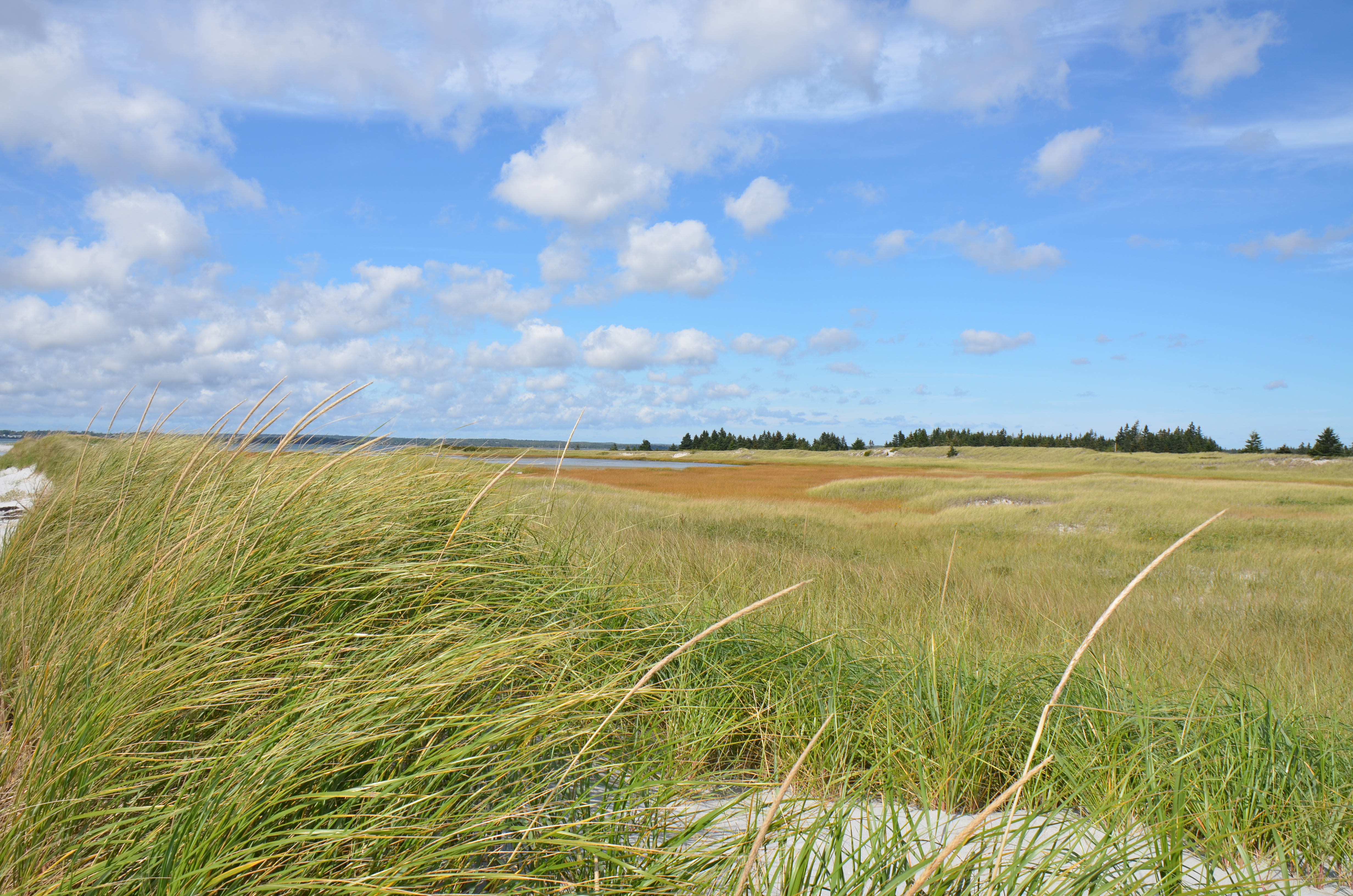
Dünen
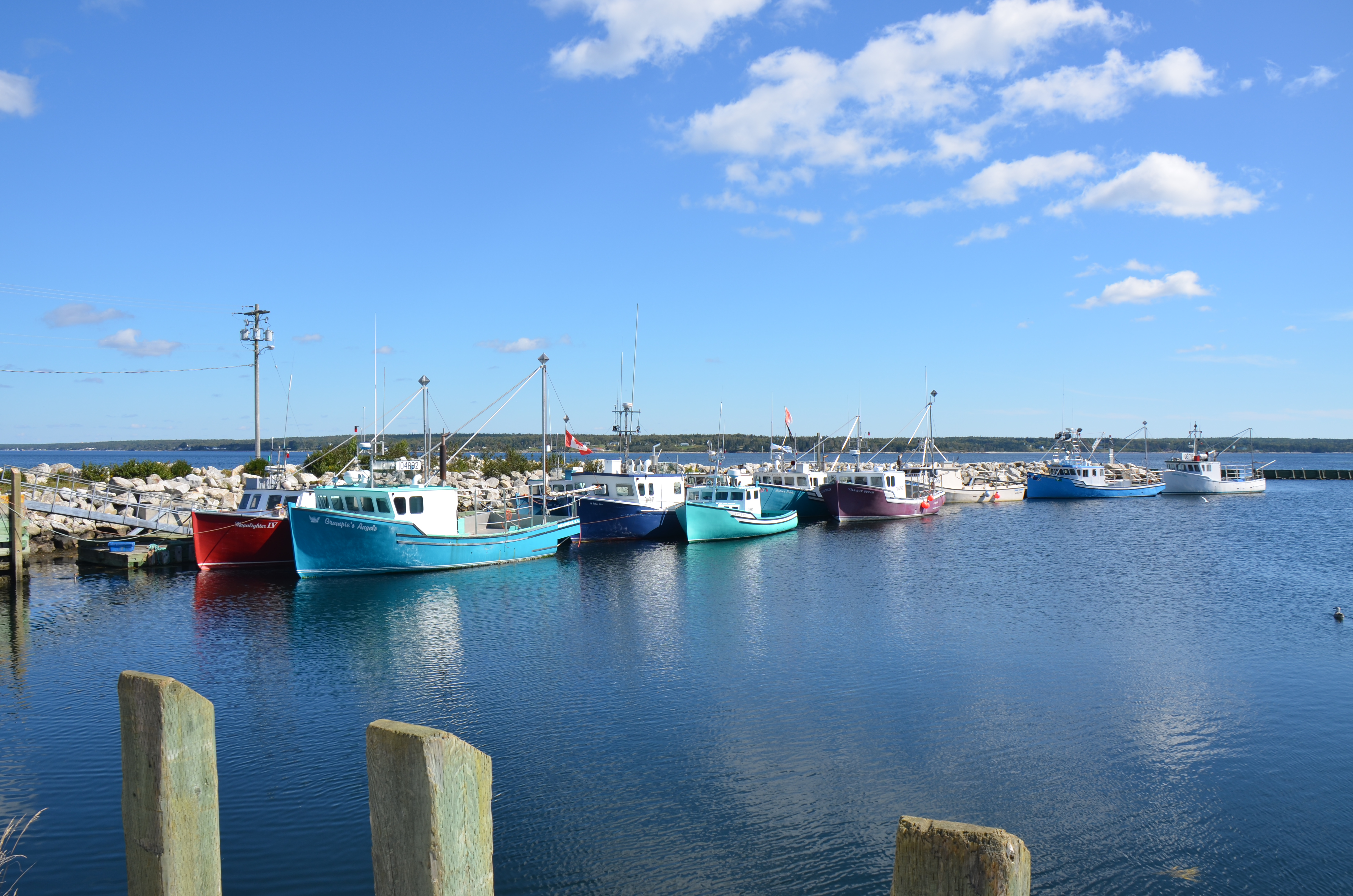
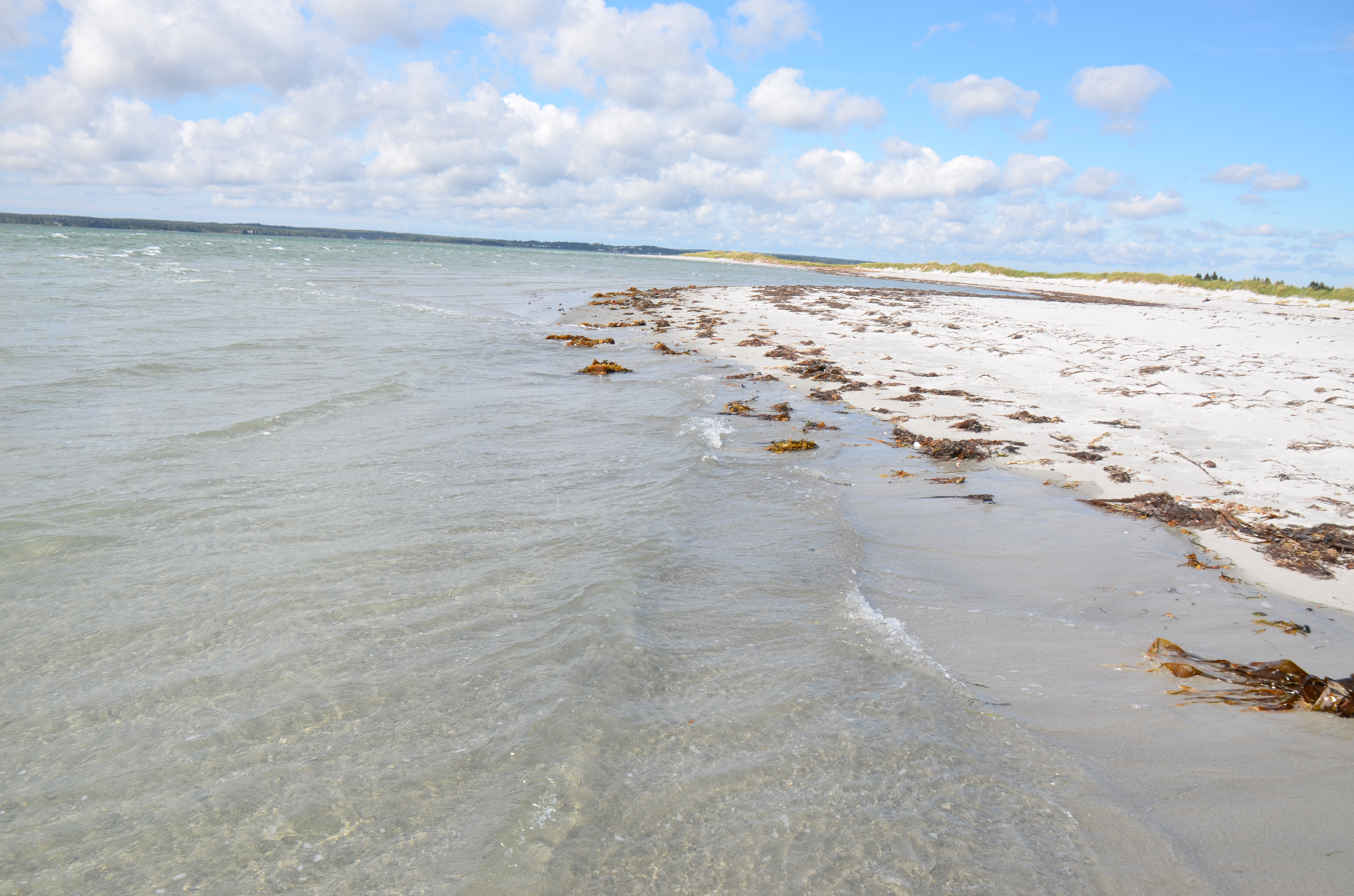
Gunning Cove
Day Ninety Eight "Landscape"
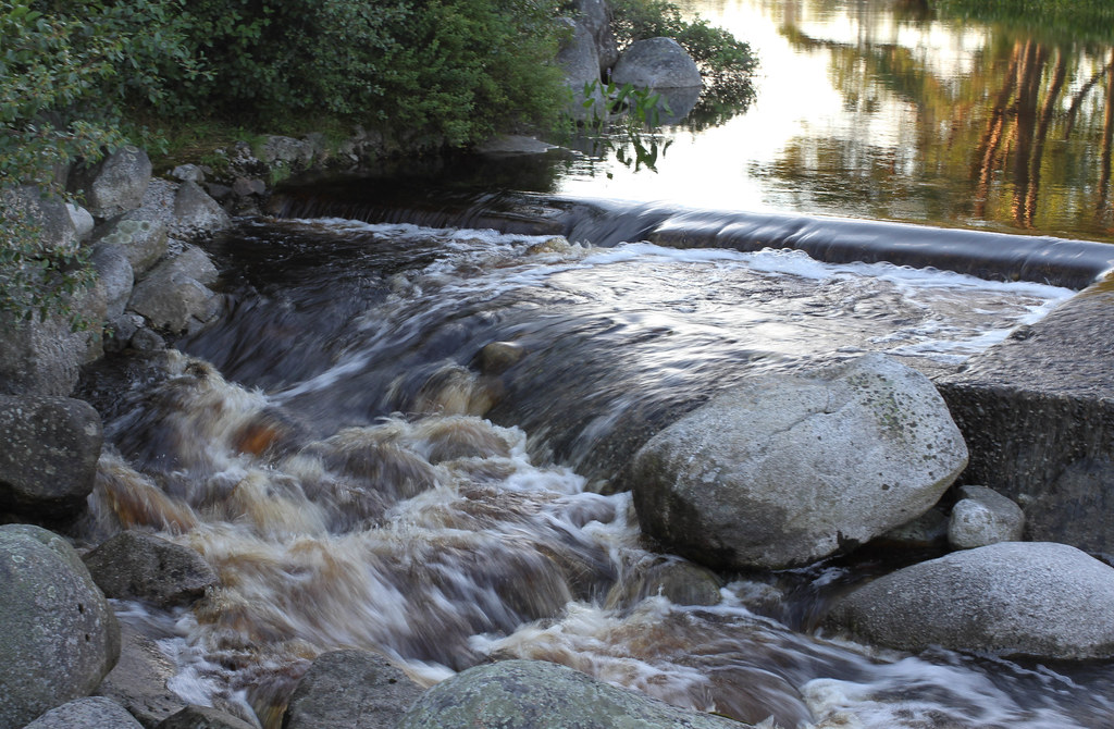
Calm Evening At Barrington Woolen Mill Dam
Am Strand

Gunning Cove
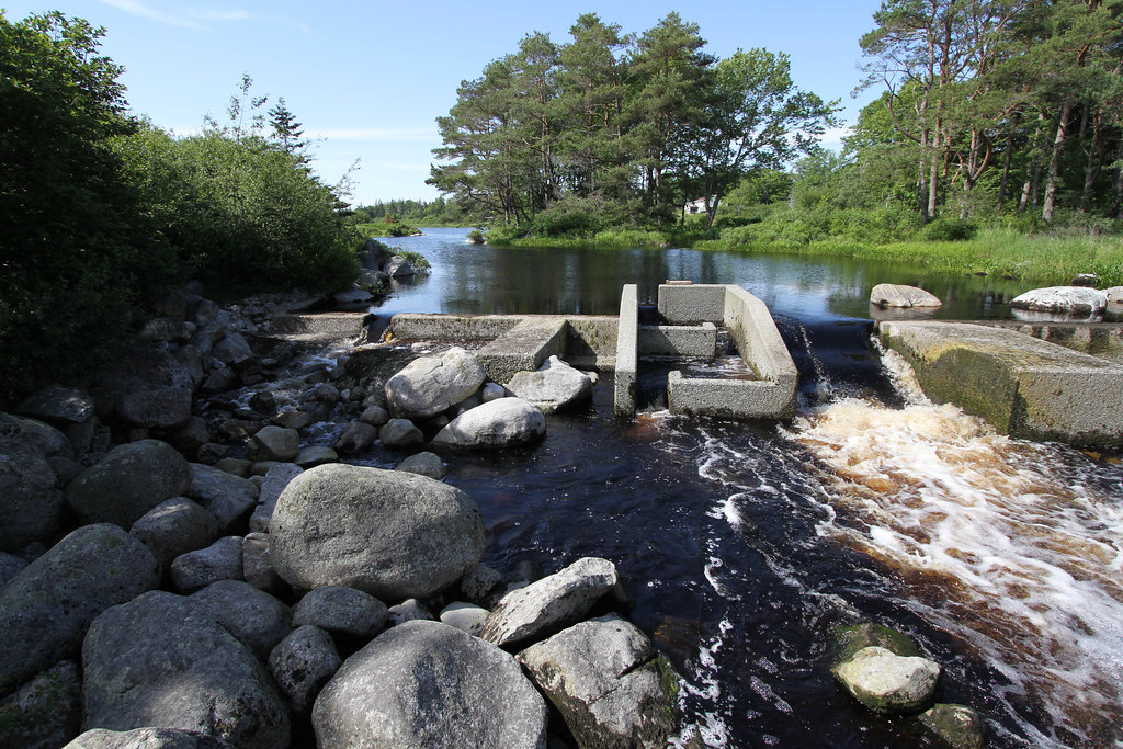
Barrington River spillway, beside Old Woollen Mill
Topographic Map of Shore Rd, Shelburne, NS B0T 1W0, Canada
Find elevation by address:

Places near Shore Rd, Shelburne, NS B0T 1W0, Canada:
494 Blanche Rd
Port Latour Rd, Barrington, NS B0W 1E0, Canada
42 John Howard Rd, Barrington, NS B0W 1E0, Canada
Blanche Rd, Barrington, NS B0W 1E0, Canada
36 Crowelltown Rd
Barrington
78 Bull Head Rd, Barrington, NS B0W 1E0, Canada
Sherose Island Rd, Barrington, NS B0W 1E0, Canada
Oak Park Rd, Barrington, NS B0W 1E0, Canada
Nova Scotia Trunk 3, Barrington Passage, NS B0W 1G0, Canada
Barrington Passage
Centreville Road
Centreville
Oak Park Rd, Barrington, NS B0W 1E0, Canada
40 Bruce St, Clark's Harbour, NS B0W 1P0, Canada
Bear Point Rd, Barrington, NS B0W 3B0, Canada
Clark's Harbour
Nova Scotia Trunk 3, Lower East Pubnico, NS B0W 2A0, Canada
Nova Scotia Trunk 3, Lower East Pubnico, NS B0W 2A0, Canada
Nova Scotia Trunk 3, Lower East Pubnico, NS B0W 2A0, Canada
Recent Searches:
- Elevation of Corso Fratelli Cairoli, 35, Macerata MC, Italy
- Elevation of Tallevast Rd, Sarasota, FL, USA
- Elevation of 4th St E, Sonoma, CA, USA
- Elevation of Black Hollow Rd, Pennsdale, PA, USA
- Elevation of Oakland Ave, Williamsport, PA, USA
- Elevation of Pedrógão Grande, Portugal
- Elevation of Klee Dr, Martinsburg, WV, USA
- Elevation of Via Roma, Pieranica CR, Italy
- Elevation of Tavkvetili Mountain, Georgia
- Elevation of Hartfords Bluff Cir, Mt Pleasant, SC, USA