Elevation of Shoen Ln, Ramona, CA, USA
Location: United States > California > San Diego County > Ramona >
Longitude: -116.77630
Latitude: 32.977688
Elevation: 577m / 1893feet
Barometric Pressure: 95KPa
Elevation Map:
Satellite Map:
Related Photos:

Owl Encounter

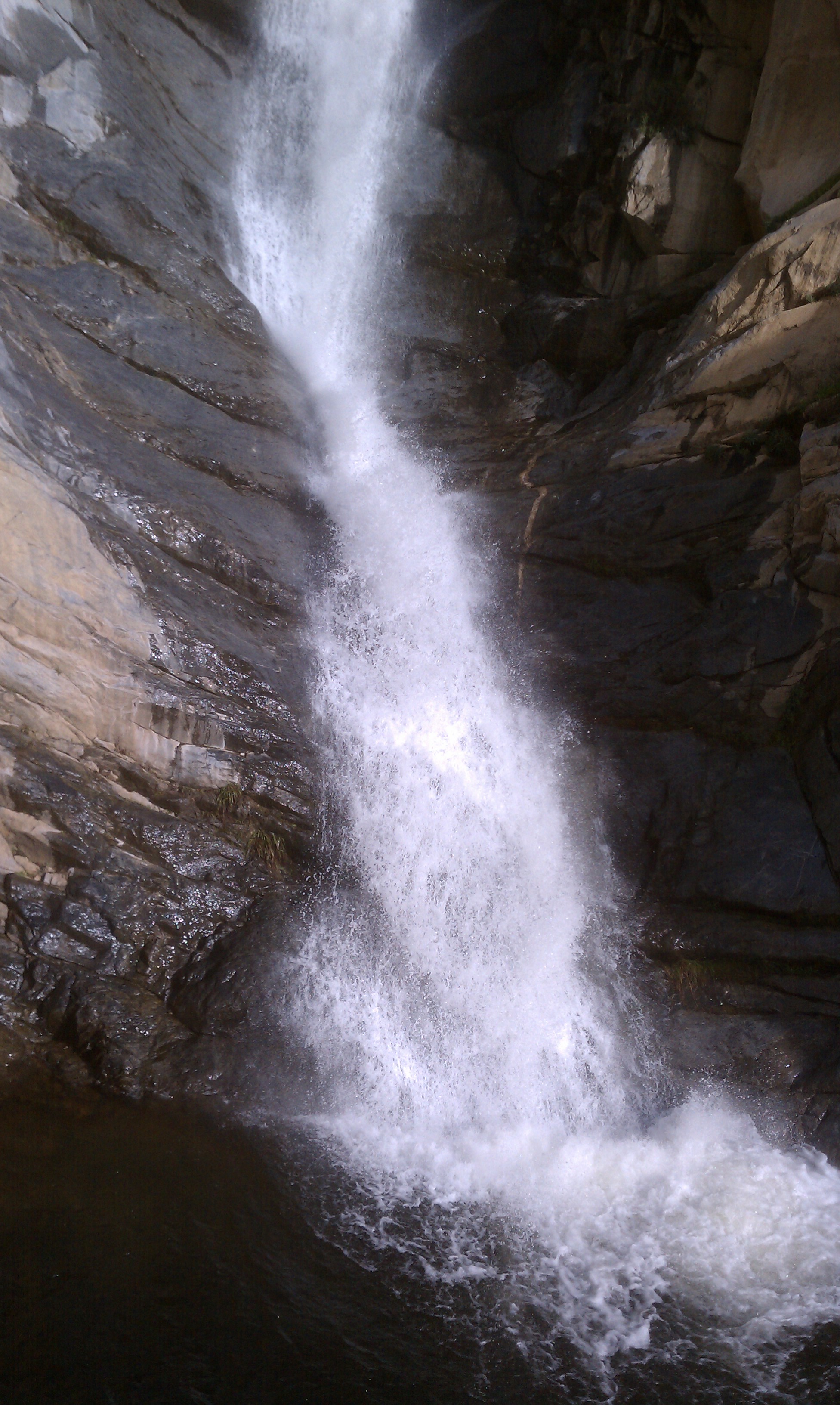
Cedar Creek Falls

October morning.

Bugs in Sun 2
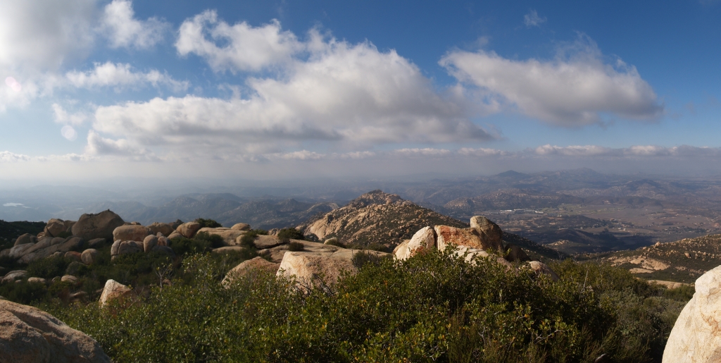
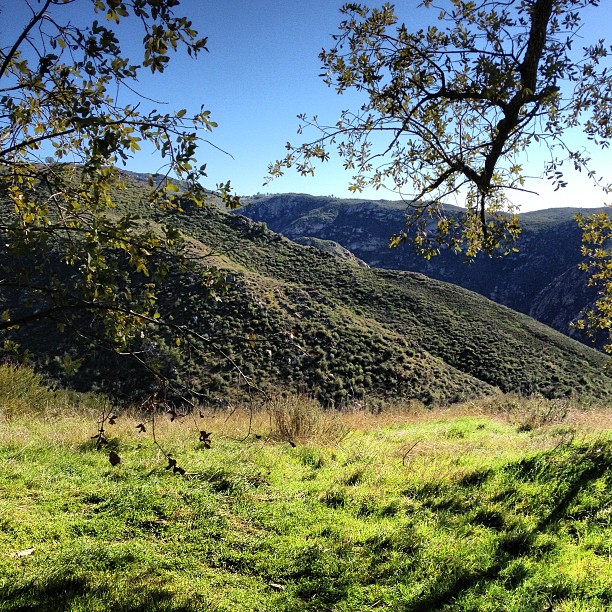
A View from Eagle Peak

Flying Man!
Exposed rock face above ravine / falls

Breakfast view ...

Prairie Falcon with wings spread
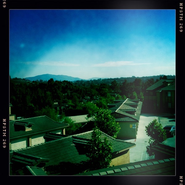
View from Viejas

Magic Mushrooms

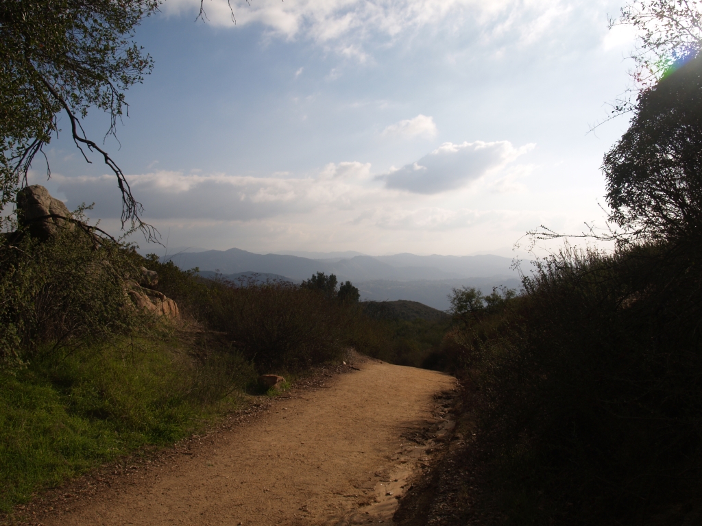
View on the morning walk.

Tree Arch From a Different Angle
003 View back along Blue Sky Ranch Road on the El Cajon Mountain Trail
193 Panorama view west from the summit of El Cajon Mountain
244 A peaceful view south from the El Cajon Mountain Trail
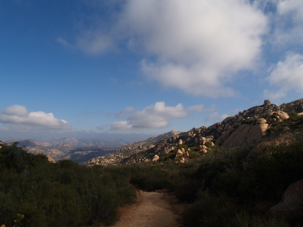
020 View west as we climb the first switchbacks on the El Cajon Mountain Trail

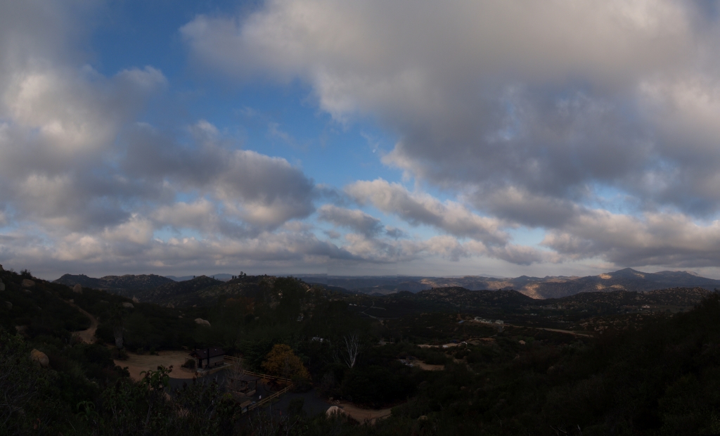
Sky view

Moai of Stone Mtn.

Dupont DP-1
119 View northeast toward Rock Mountain from the El Cajon Mountain Trail
Cedar Creek Falls Hike

Moonrise. Full moon rises above Ramona.
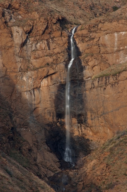
Magic Hour at Mildred Falls
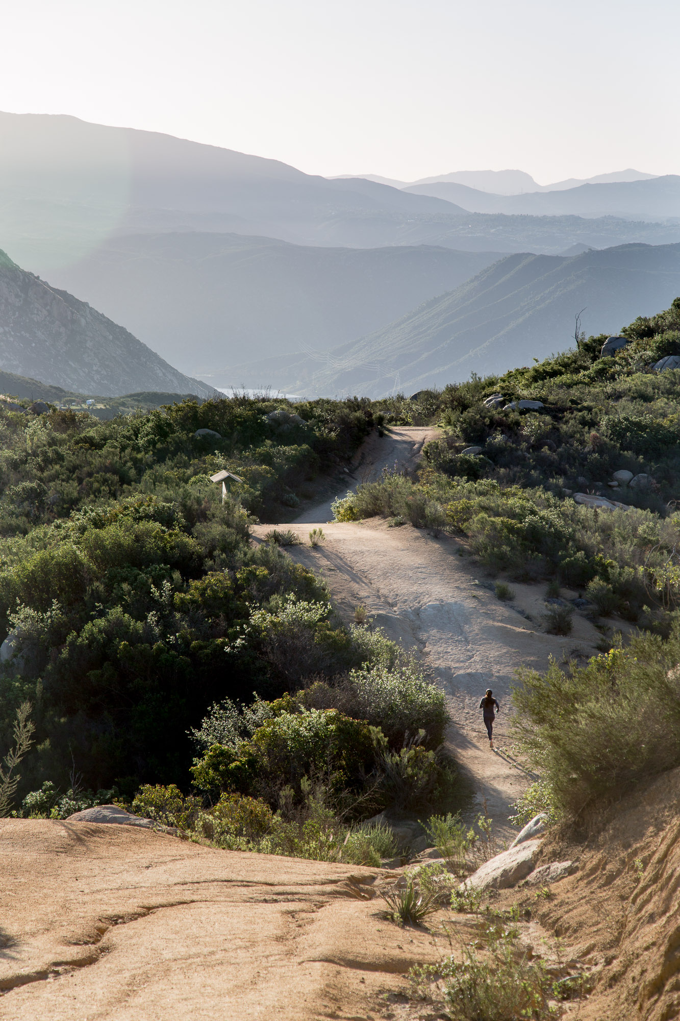
Early morning trail run on El Cajon Mountain

Morning and the sprinklers
El Monte Roadside
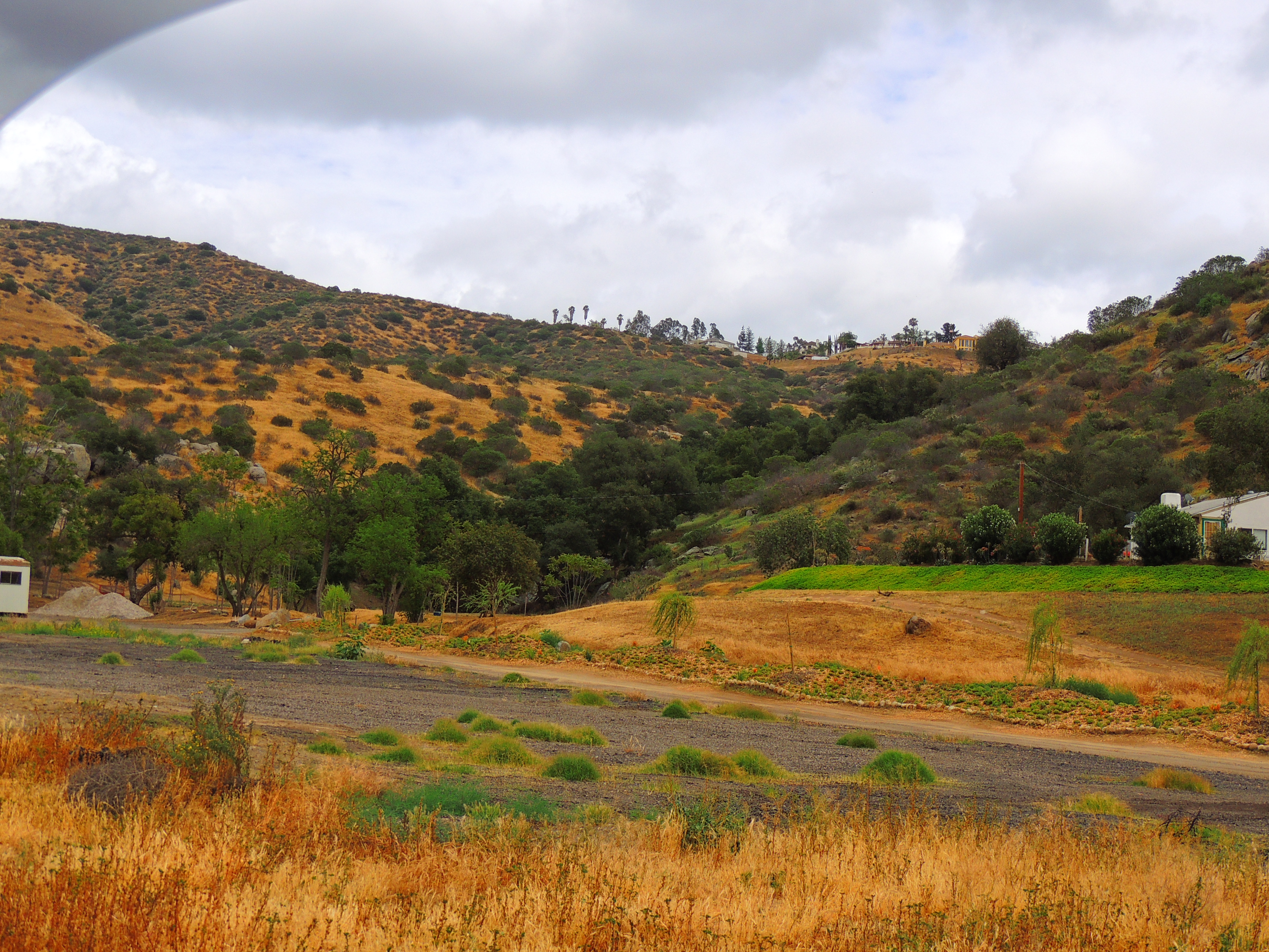
Ranch country

Lunch at Cedar Creek Falls

El Capitan, Yosemite, California
191/365
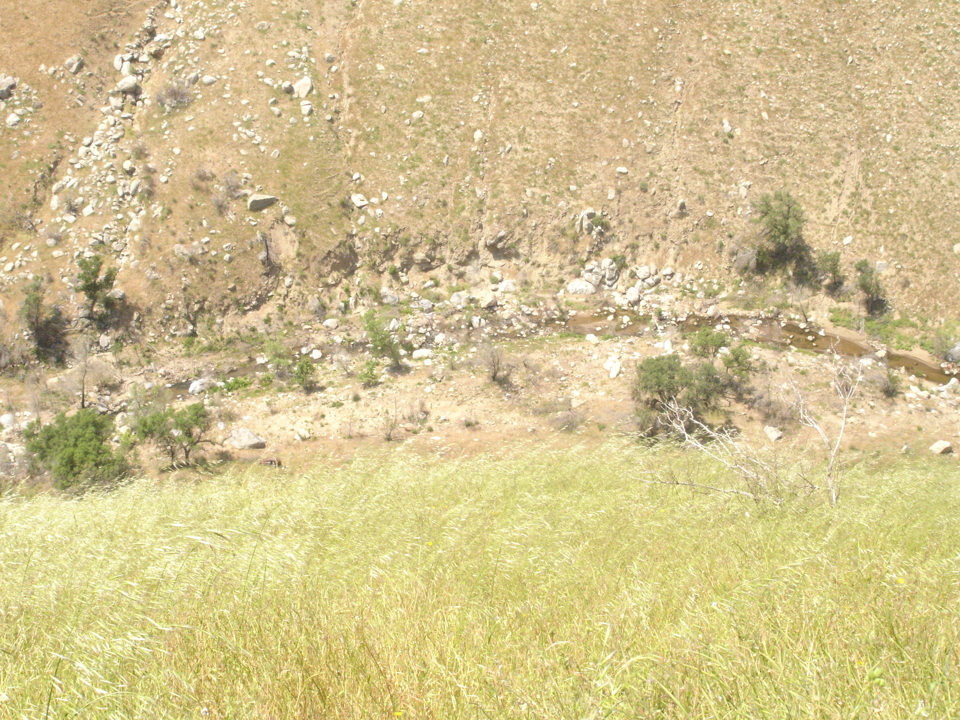
San Diego River, Cedar Creek Area

2014.12.23: went hiking around eastern San Diego! Beautiful hike! Much fun! Much exercise!

Bails of Hay
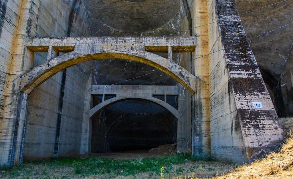
Sutherland Dam-0029
Cedar Falls Hike Panorama
Alpine, CA
Made it to the top
Topographic Map of Shoen Ln, Ramona, CA, USA
Find elevation by address:

Places near Shoen Ln, Ramona, CA, USA:
15765 Zeigler Ct
Matlin Road
Poderio Dr, Ramona, CA, USA
San Diego Country Estates
Kerri Lane
San Vicente Resort And Golf Course
Watt Road
15528 Calistoga Dr
16753 Wikiup Rd
23609 Scarbery Way
24451 Rutherford Rd
3184 Ketuull Uunyaa Way
23509 Green Glen Rd
24011 Starlight Mountain Rd
635 Old Julian Hwy
532 Creelman Ln
218 Shandy Ln
Keyes Road
Shandy Lane
2120 San Vicente Rd
Recent Searches:
- Elevation of W Granada St, Tampa, FL, USA
- Elevation of Pykes Down, Ivybridge PL21 0BY, UK
- Elevation of Jalan Senandin, Lutong, Miri, Sarawak, Malaysia
- Elevation of Bilohirs'k
- Elevation of 30 Oak Lawn Dr, Barkhamsted, CT, USA
- Elevation of Luther Road, Luther Rd, Auburn, CA, USA
- Elevation of Unnamed Road, Respublika Severnaya Osetiya — Alaniya, Russia
- Elevation of Verkhny Fiagdon, North Ossetia–Alania Republic, Russia
- Elevation of F. Viola Hiway, San Rafael, Bulacan, Philippines
- Elevation of Herbage Dr, Gulfport, MS, USA