Elevation of Shoal Creek Rd, Arab, AL, USA
Location: United States > Alabama > Marshall County > Arab >
Longitude: -86.447526
Latitude: 34.325327
Elevation: 316m / 1037feet
Barometric Pressure: 98KPa
Elevation Map:
Satellite Map:
Related Photos:
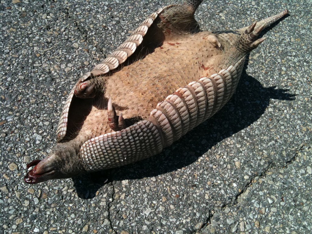
There once was a popular song entitled, "Dead Skunk in the Middle of the Road." This is a dead armadillo. - M910 vi231
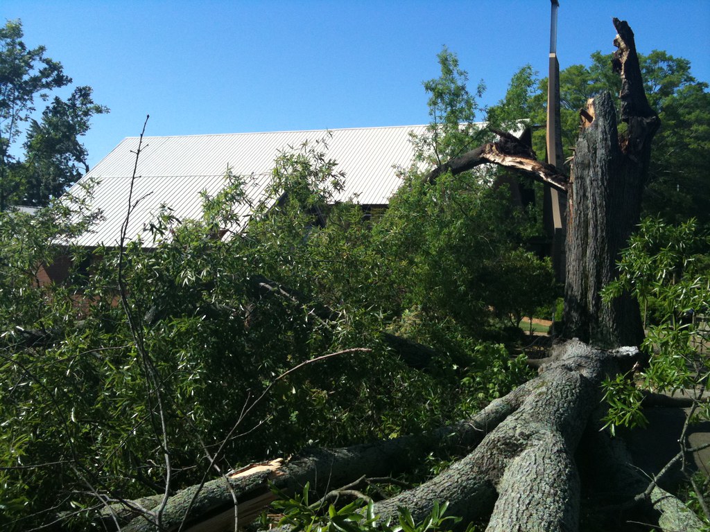
Felled Pin Oak, St. William Catholic Parish, Guntersville, AL - A2510 hi10
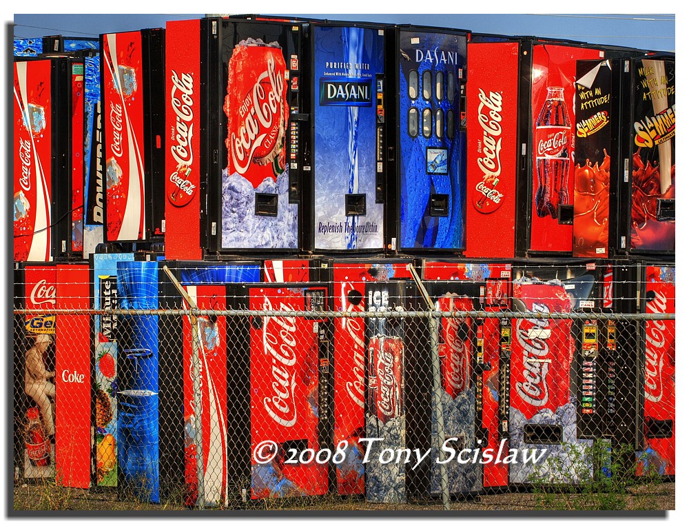
Old Coke's Home
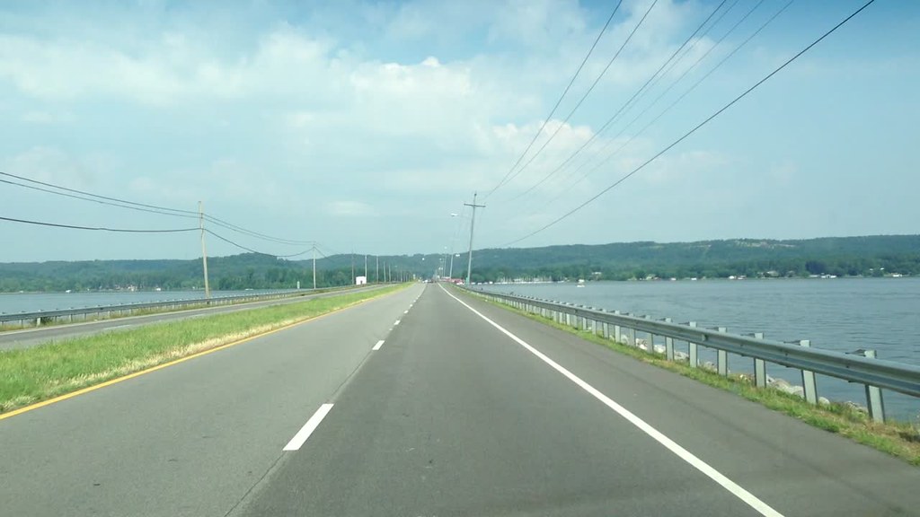
Crossing the Causeway - m4458

Calendar Correction

Driving through the countryside - m4459

Boy playing - v148
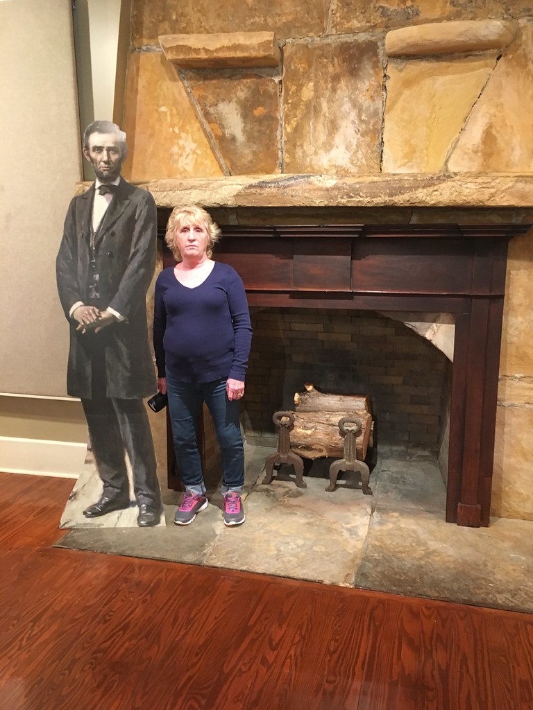
c2017 January 31, Guntersville Museum
c2017 January 31, Guntersville Museum
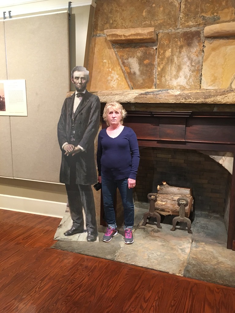
c2017 January 31, Guntersville Museum
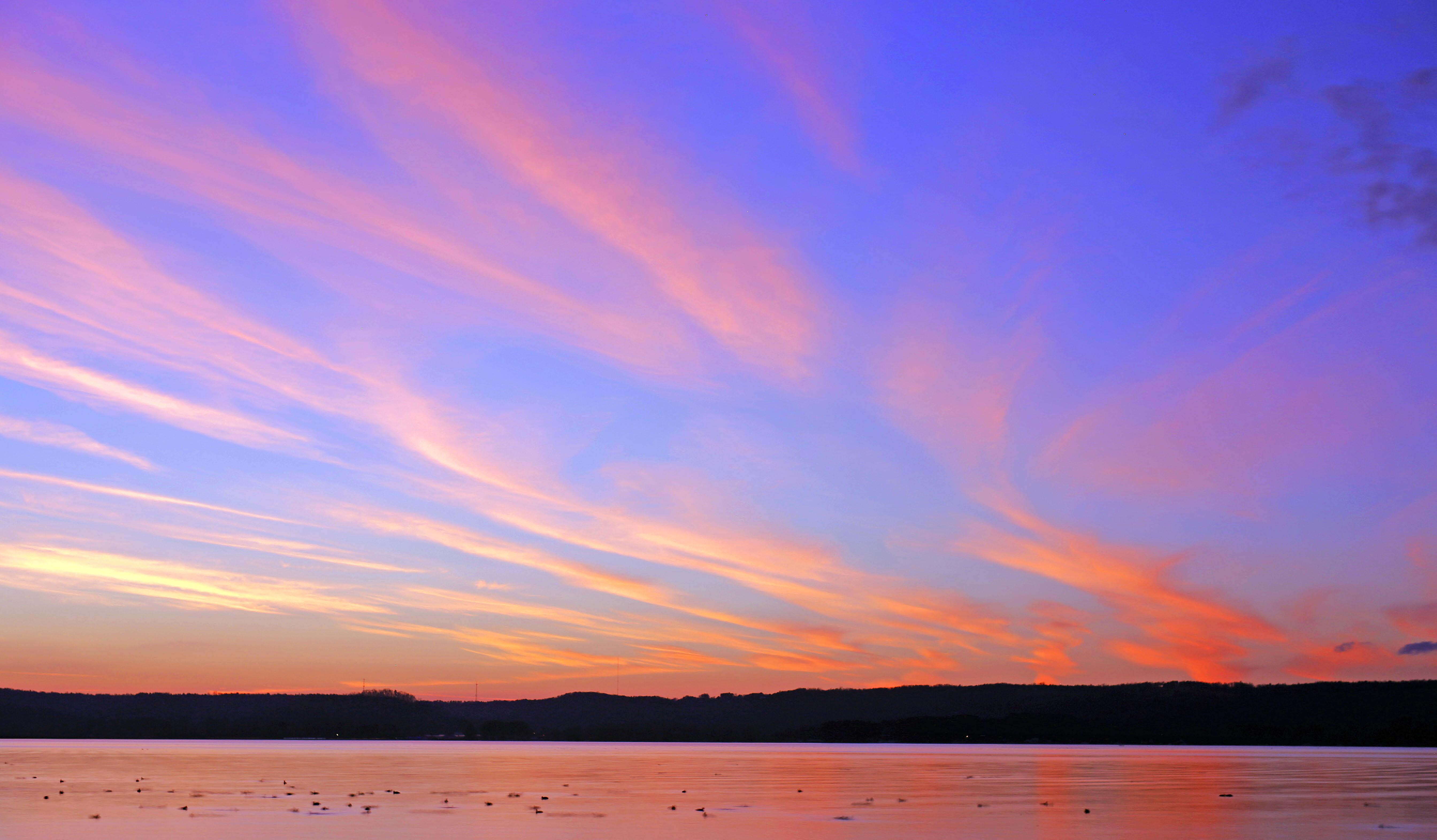
Lake Guntersville Sunset #2.psd
Alabama Sunrise
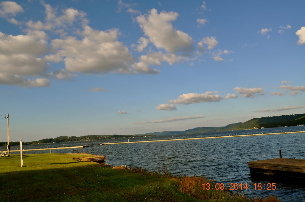
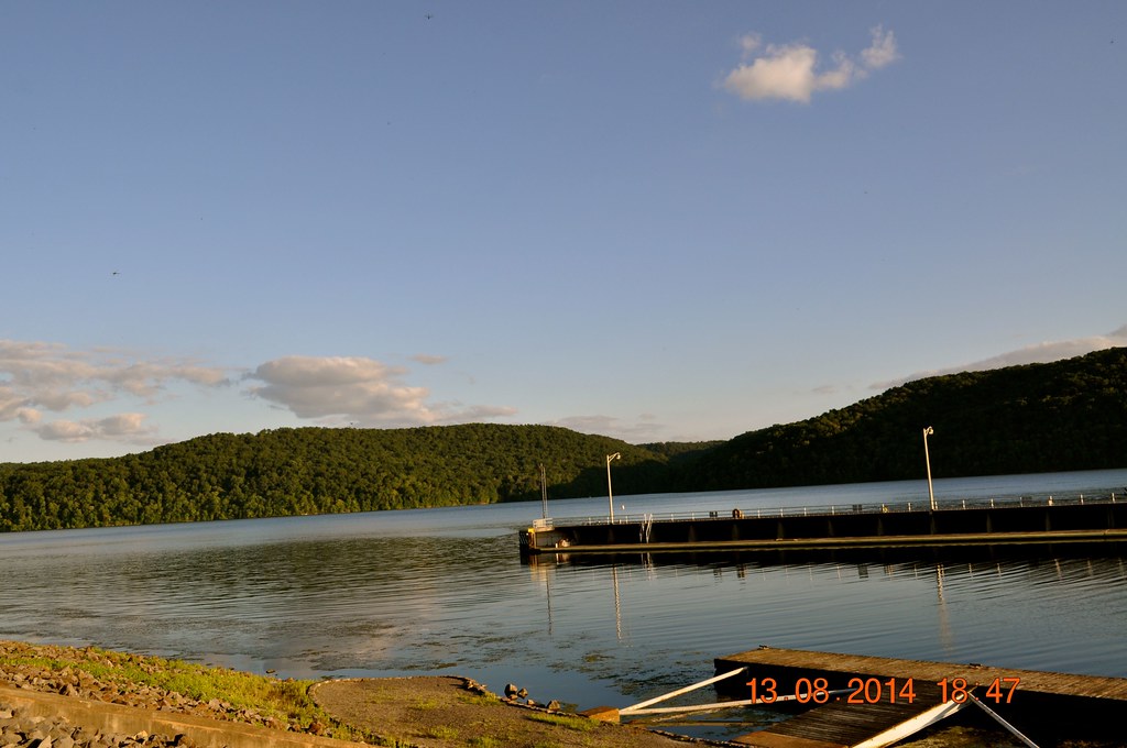
2014 August 13 traveling through Guntersville, AL
Over The Rocks And Through The Woods

Union Grove Pano

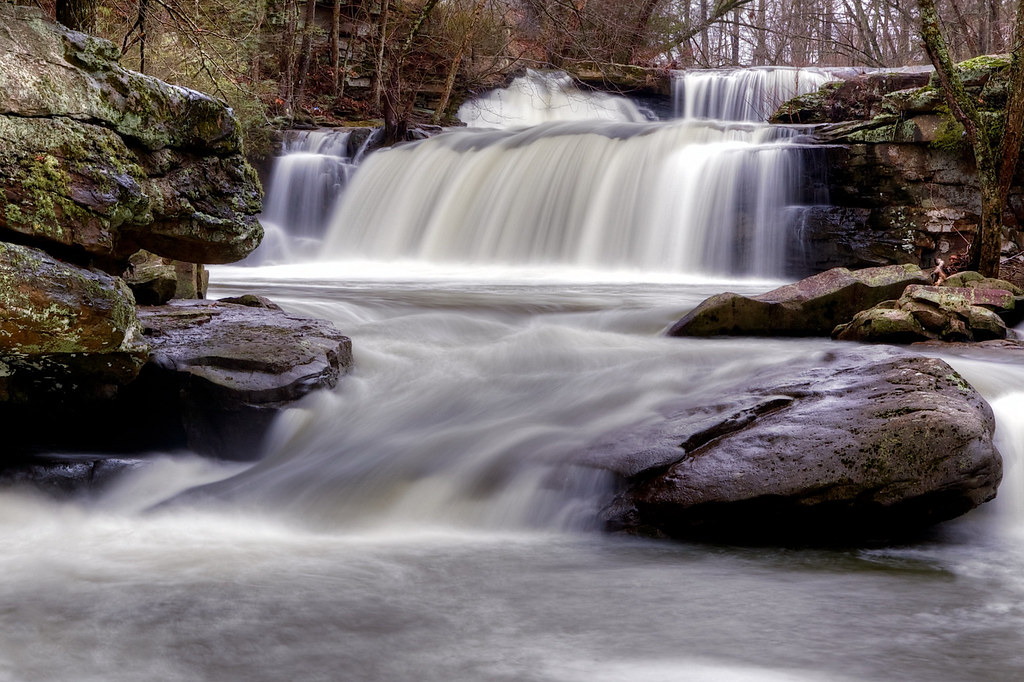
Thompson Falls
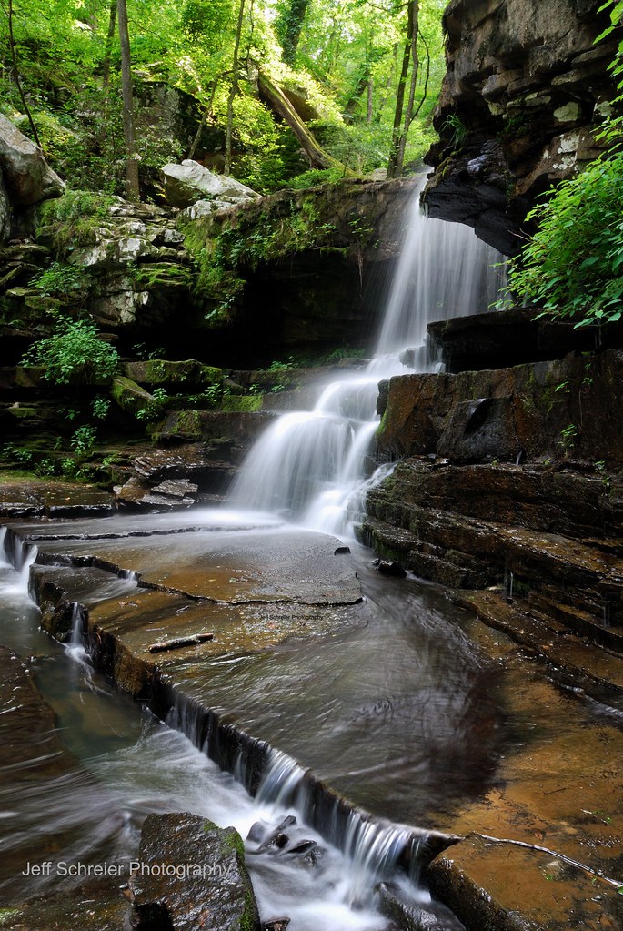
Shoal Creek Falls
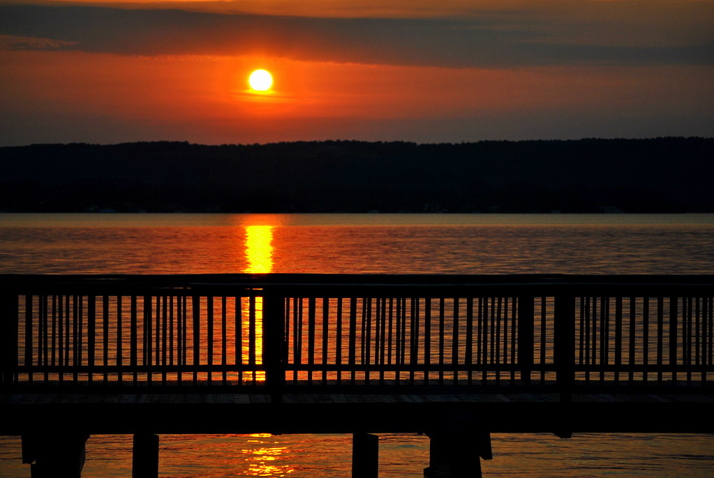
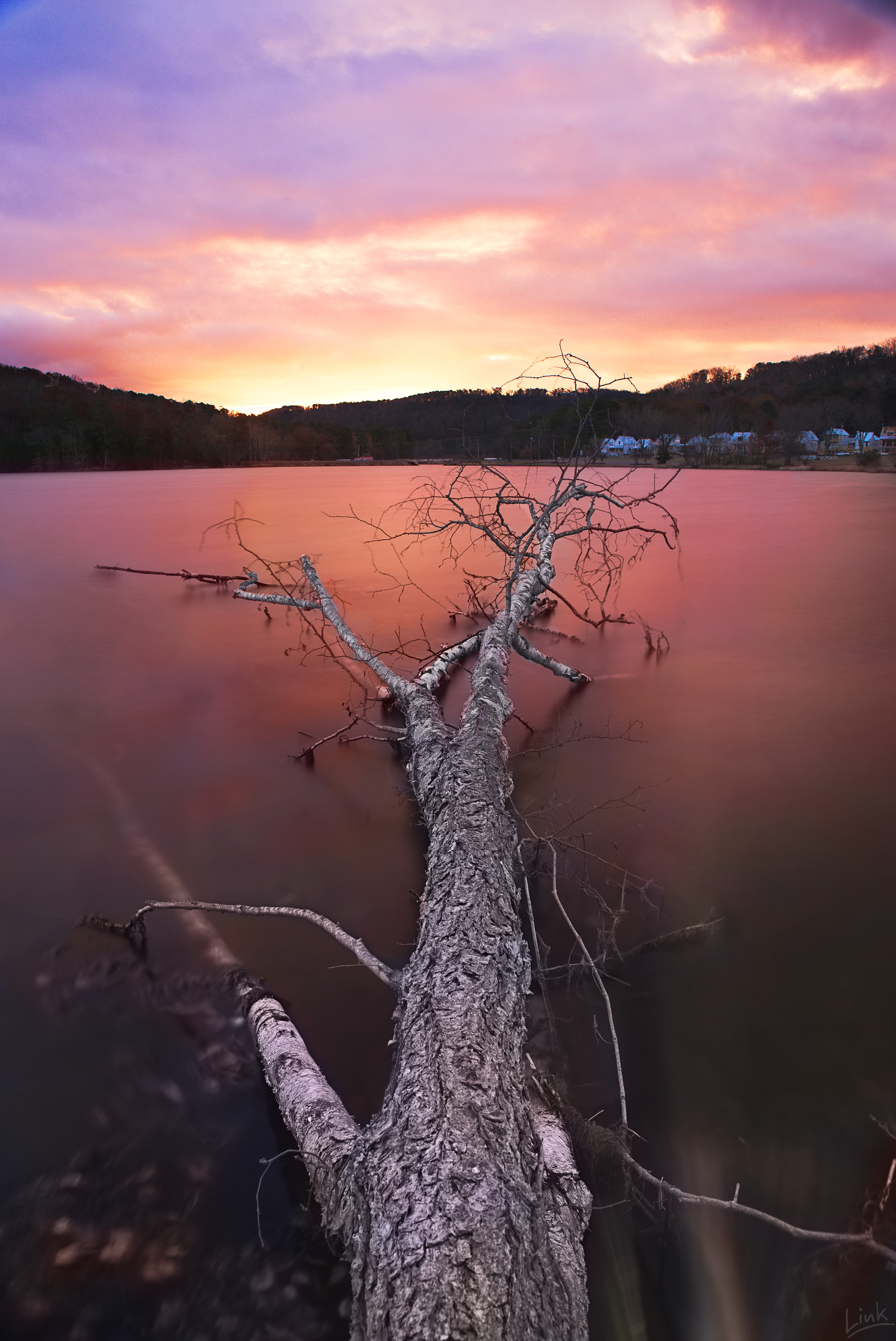
Lake Guntersville Sunset
2014 August 13 Guntersville Dam
Thompson Falls
Cold Chill at Neighbors Mill
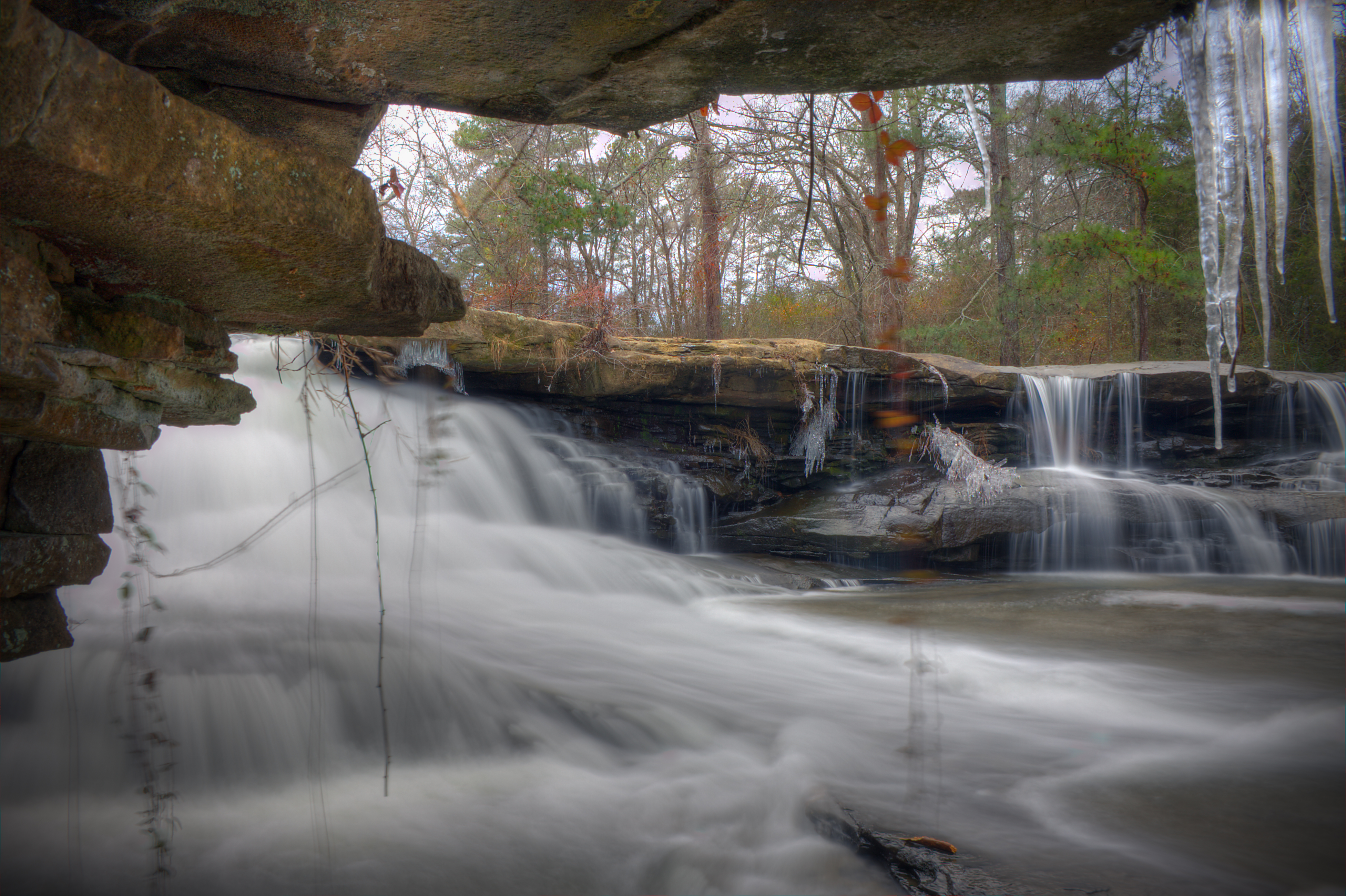
Twin Falls
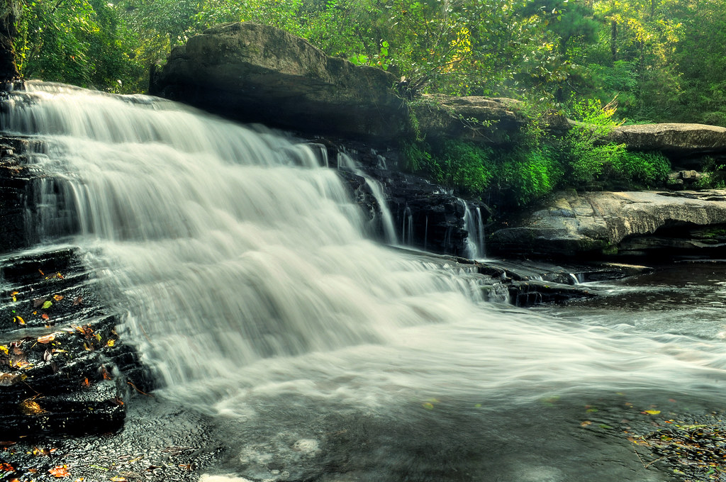
Lower Neighbors Mill Falls
Upper Neighbors Mill Falls
Pier:
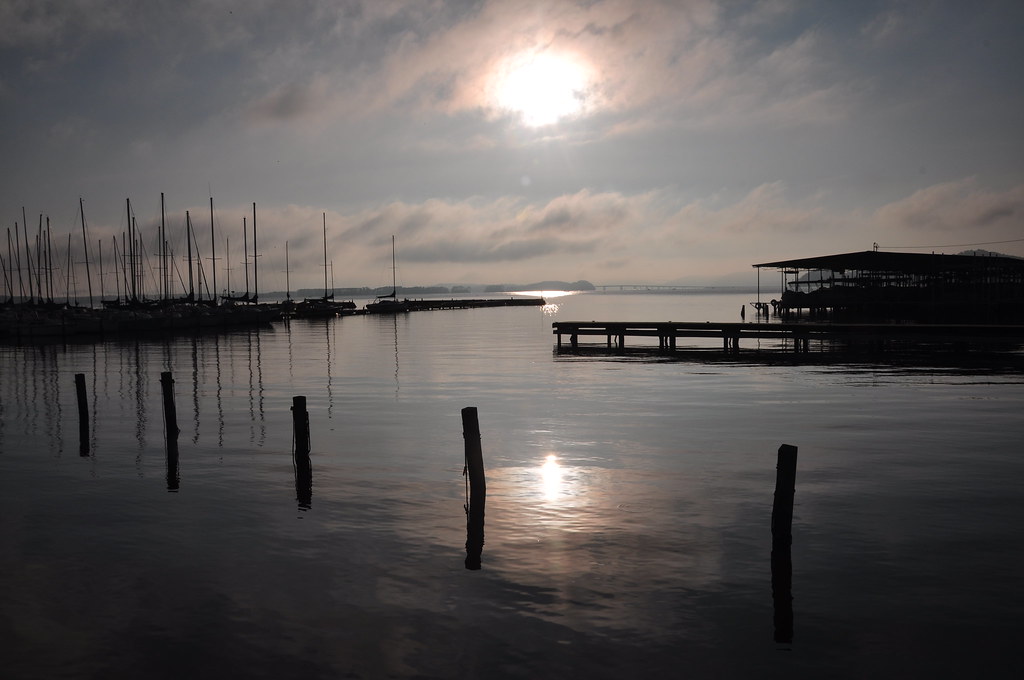
Sunrise reflection on the water - h379

Guntersville Dam, Tennessee River, Tennessee Valley Authority (TVA), Marshall County, Alabama 2
Castle:
100531 Guntersville, AL
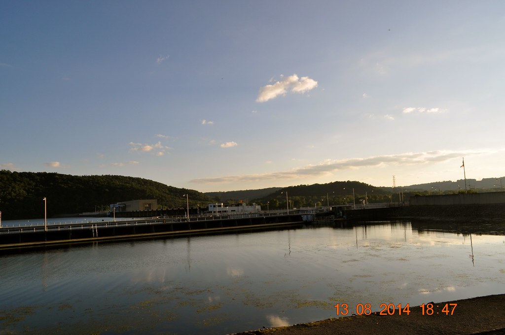
2014 August 13 Guntersville Dam
100531 Guntersville, AL
Topographic Map of Shoal Creek Rd, Arab, AL, USA
Find elevation by address:

Places near Shoal Creek Rd, Arab, AL, USA:
765 Berkley Rd
963 Fry Gap Rd
Co Rd, Arab, AL, USA
Warrenton Rd, Guntersville, AL, USA
2990 Mobbs School Rd
Union Grove
Georgia Mountain
605 Parches Cove Rd
Shore Dr, Guntersville, AL, USA
3305 Creek Cir
Cherokee Elementary School
Marshall County
2344 Al-79
Henry St, Guntersville, AL, USA
1700 Palmer St
1812 Winston St
1134 Blount Ave
Pleasant Grove Rd, Albertville, AL, USA
Guntersville
4912 Lee St
Recent Searches:
- Elevation of 7 Waterfall Way, Tomball, TX, USA
- Elevation of SW 57th Ave, Portland, OR, USA
- Elevation of Crocker Dr, Vacaville, CA, USA
- Elevation of Pu Ngaol Community Meeting Hall, HWHM+3X7, Krong Saen Monourom, Cambodia
- Elevation of Royal Ontario Museum, Queens Park, Toronto, ON M5S 2C6, Canada
- Elevation of Groblershoop, South Africa
- Elevation of Power Generation Enterprises | Industrial Diesel Generators, Oak Ave, Canyon Country, CA, USA
- Elevation of Chesaw Rd, Oroville, WA, USA
- Elevation of N, Mt Pleasant, UT, USA
- Elevation of 6 Rue Jules Ferry, Beausoleil, France