Elevation of Shiwa, Shiwa District, Iwate Prefecture, Japan
Location: Japan > Iwate Prefecture > Shiwa District >
Longitude: 141.155658
Latitude: 39.5545679
Elevation: 112m / 367feet
Barometric Pressure: 100KPa
Elevation Map:
Satellite Map:
Related Photos:
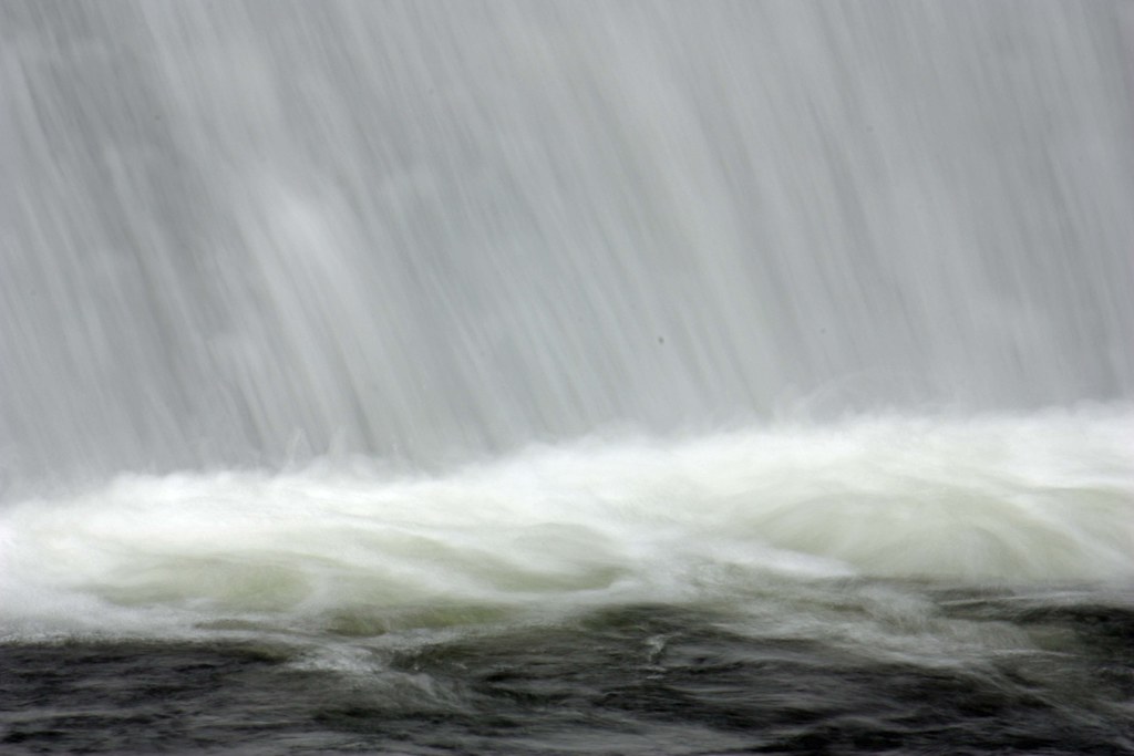
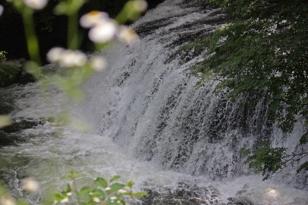
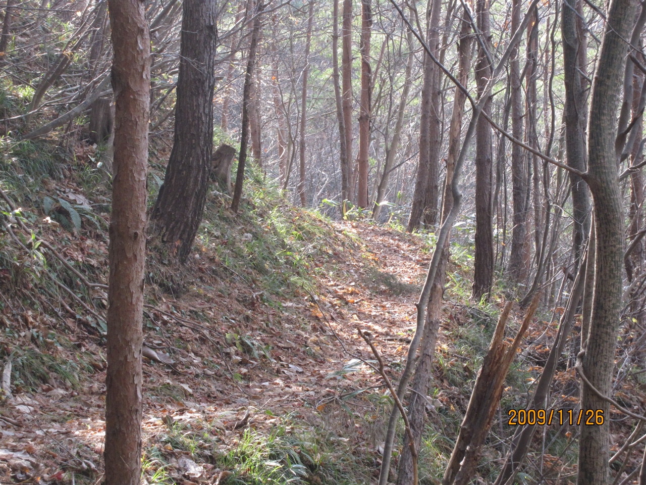
右下の方
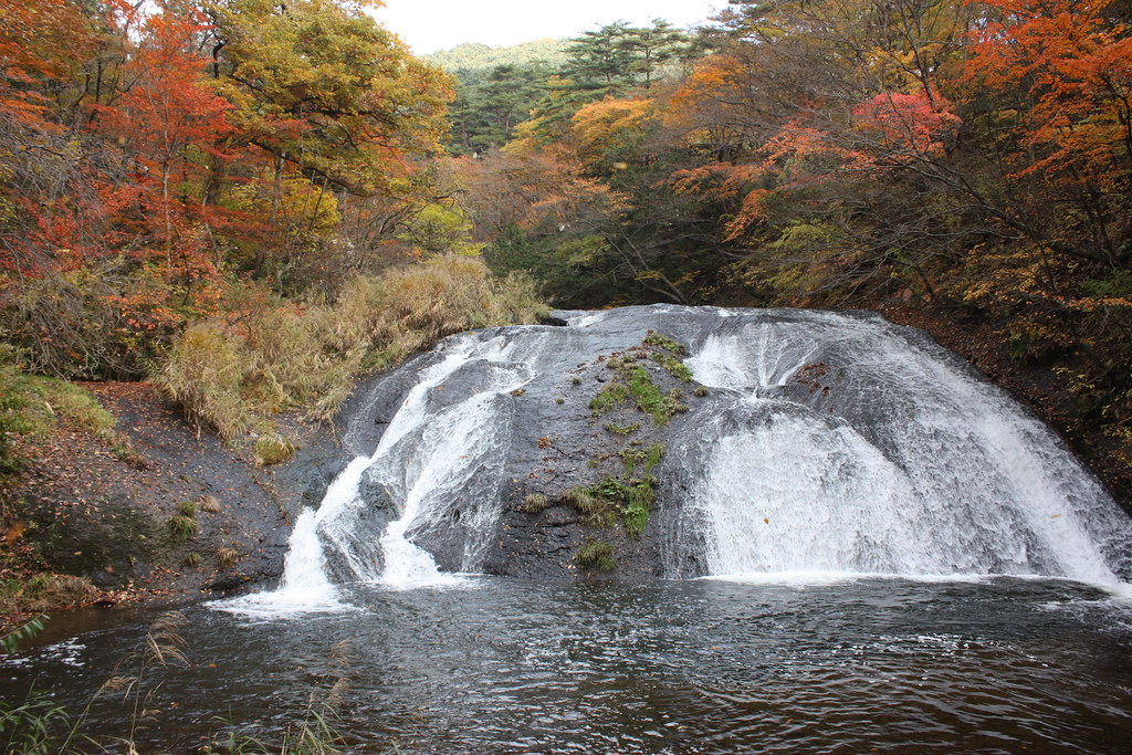
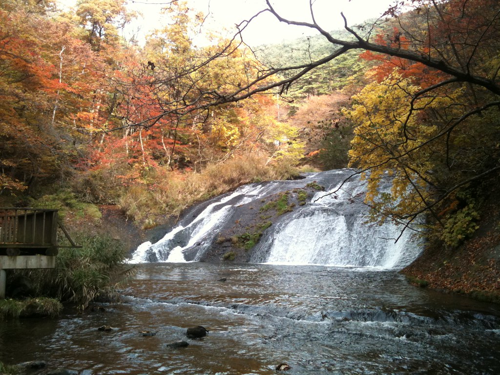
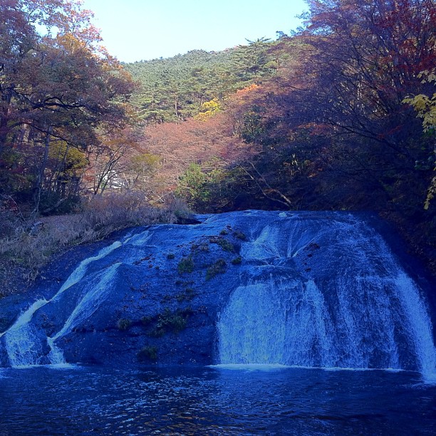
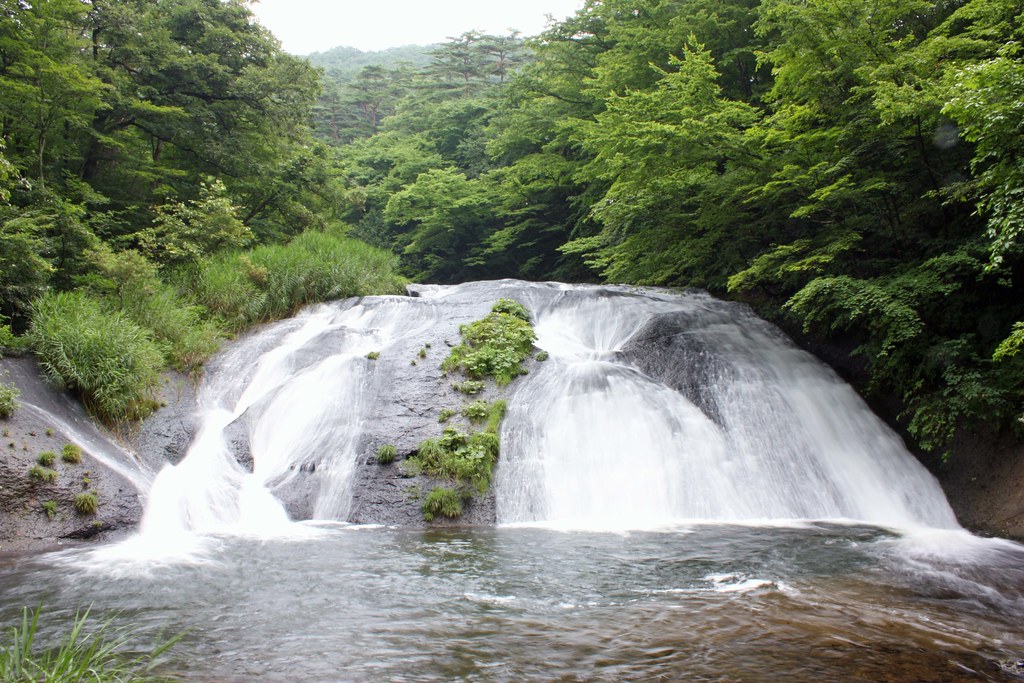
釜淵の瀧 紅葉版
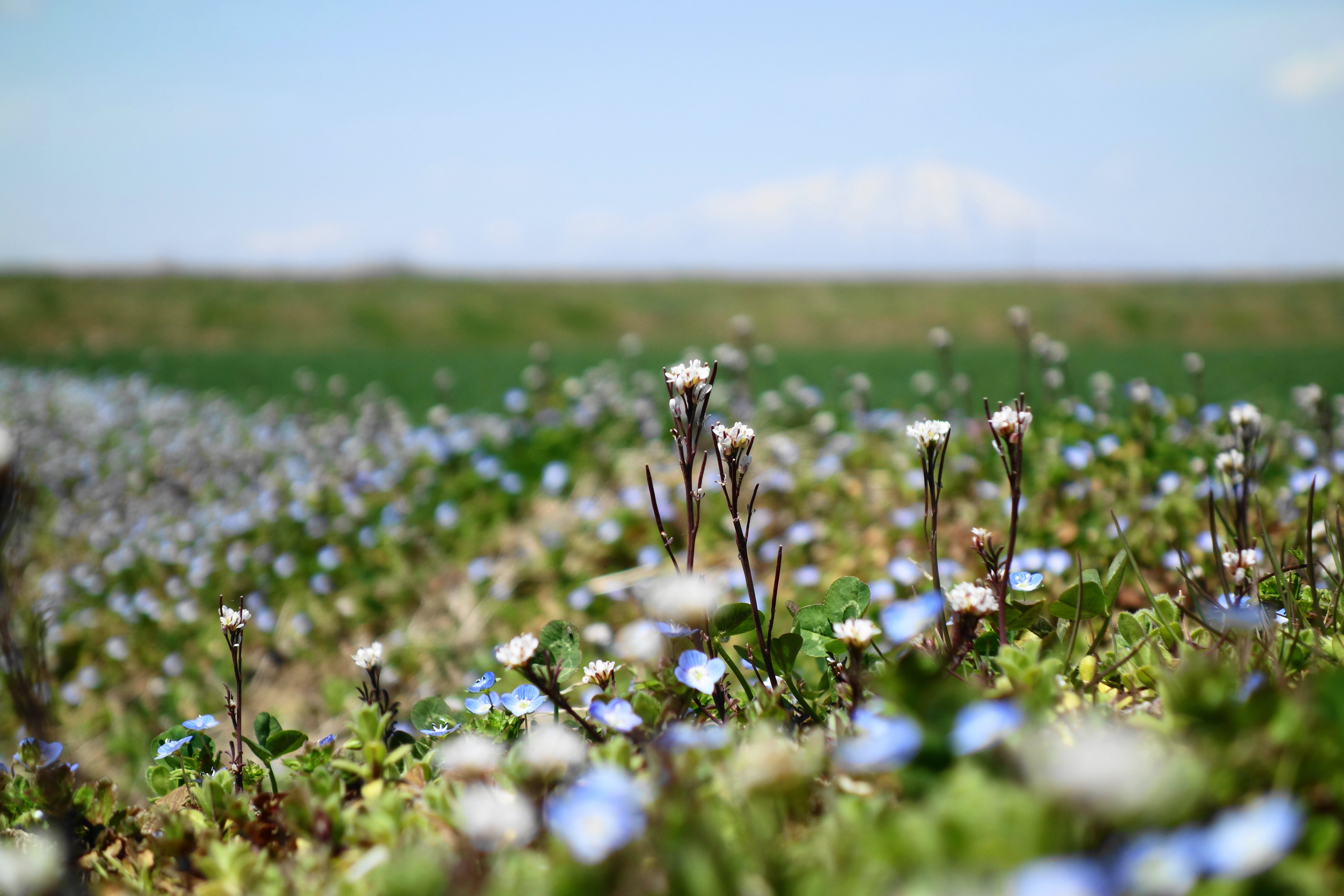
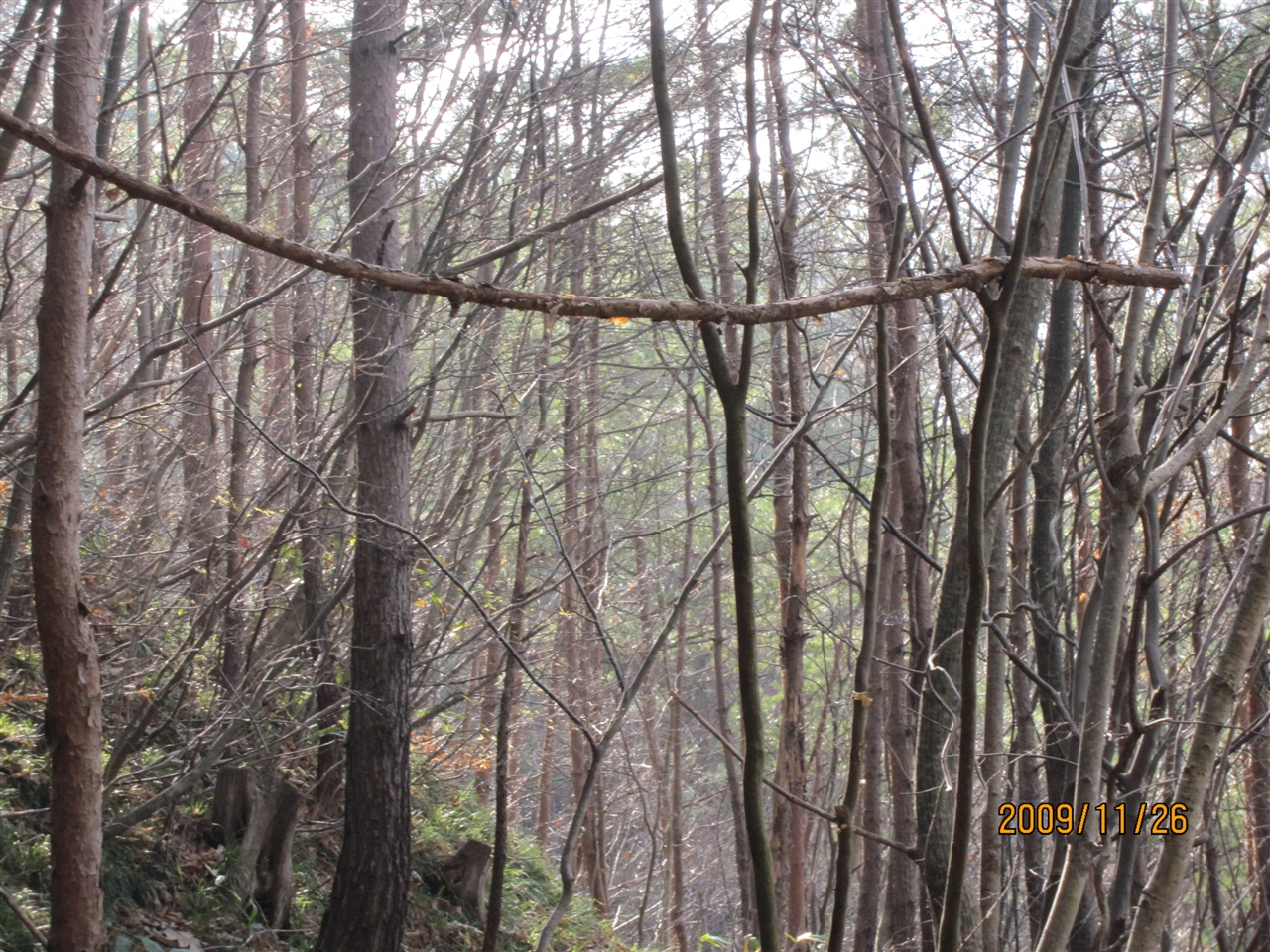
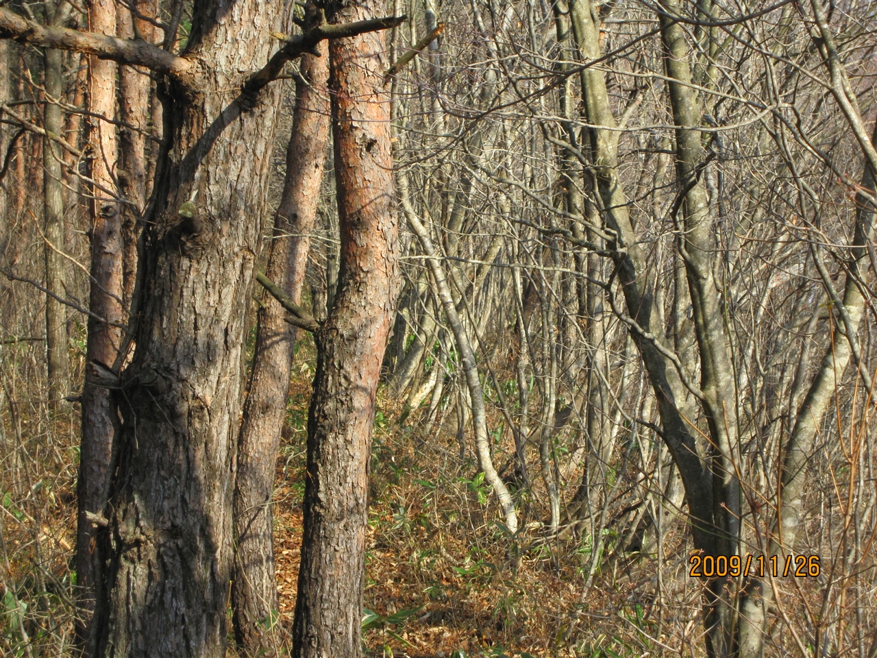
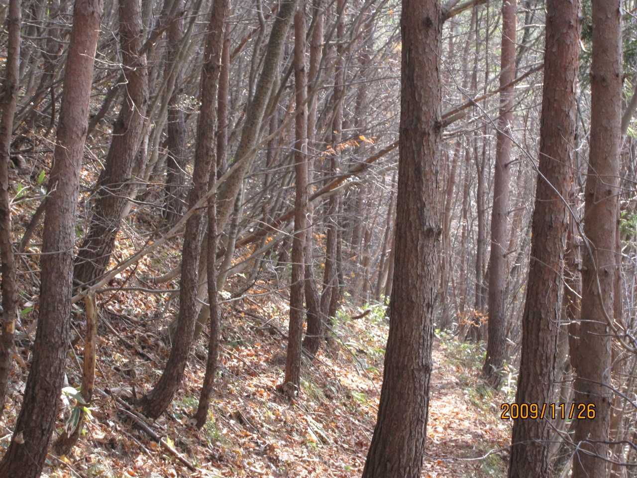
Weeds also look at a mountain.
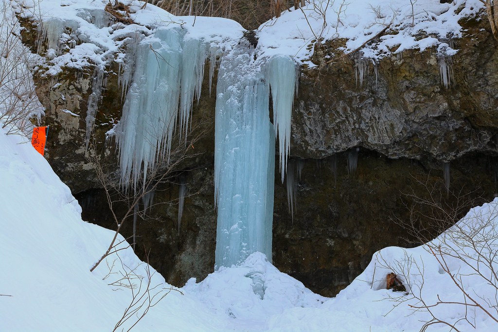
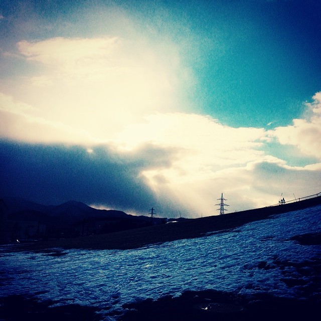
Taroshidaki Frozen waterfalls
by iPhone3Gs
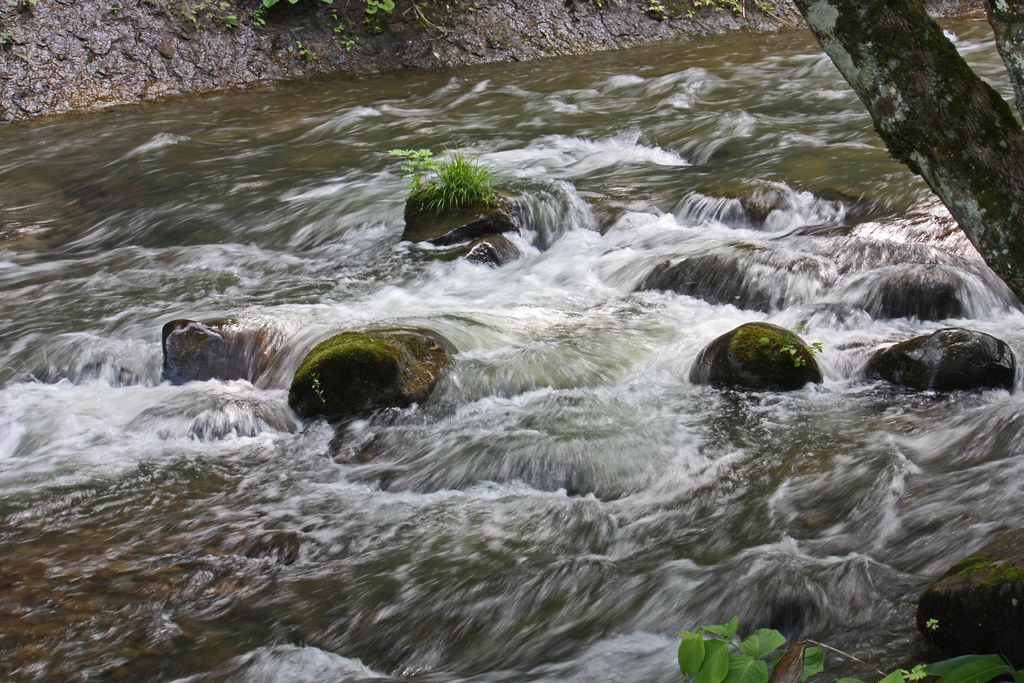
葛丸川 滝
流れがくねっておもしろい
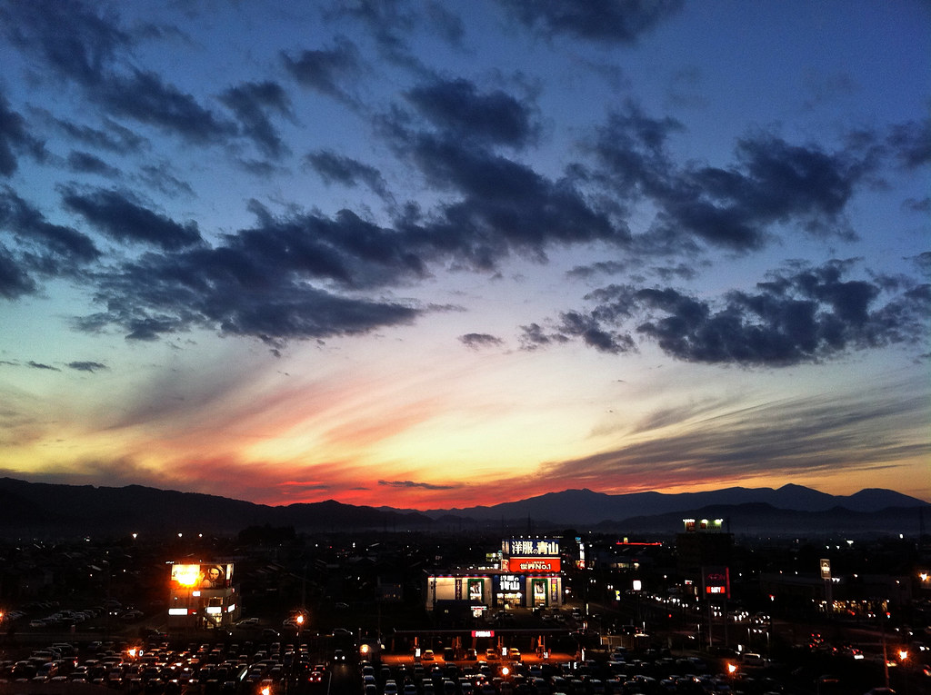
Morioka Sunset

6月 In June
一の滝
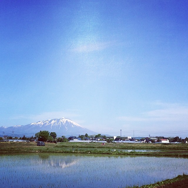
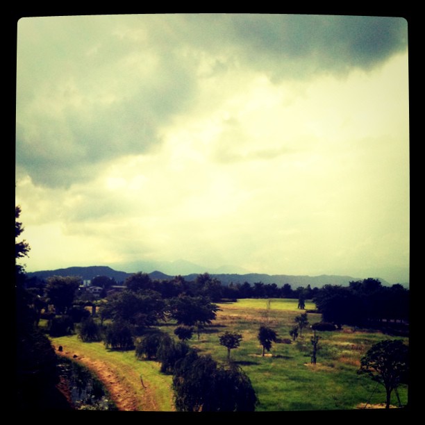
今朝の岩手山です。
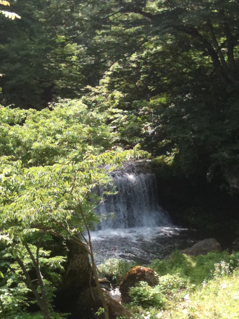
1年ぶりの釜淵の滝

北上川の水量がすごい
#morioka #iwate
IMG_0114.JPG
IMG_0115.JPG
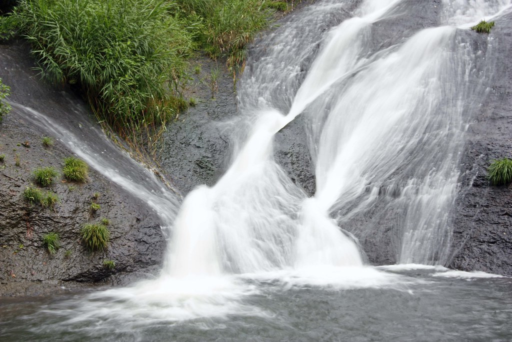
滝全体
盛岡の美しさははんぱない!
葛丸川
IMG_0141.JPG
IMG_0111.JPG
Topographic Map of Shiwa, Shiwa District, Iwate Prefecture, Japan
Find elevation by address:

Places in Shiwa, Shiwa District, Iwate Prefecture, Japan:
Places near Shiwa, Shiwa District, Iwate Prefecture, Japan:
Nishinanakubo-66 Futsukamachi, Shiwa-chō, Shiwa-gun, Iwate-ken -, Japan
Shitayabu-43 Kitahizume, Shiwa-chō, Shiwa-gun, Iwate-ken -, Japan
Shiwa District
Yahaba
Dai 7 Chiwari- Ishidoriyachō Kōchi, Hanamaki-shi, Iwate-ken -, Japan
Dai 13 Chiwari--4 Kemuyama, Yahaba-chō, Shiwa-gun, Iwate-ken -, Japan
Dai 10 Chiwari-55-26 Ōhasamamachi Kamegamori, Hanamaki-shi, Iwate-ken -, Japan
Dai 23 Chiwari-70 Ishidoriyachō Yaehata, Hanamaki-shi, Iwate-ken -, Japan
Morioka
Iwate Prefecture
Hanamaki
67 Shimomachihigashi, Shizukuishi-chō, Iwate-gun, Iwate-ken -, Japan
49 Sengarita, Shizukuishi-chō, Iwate-gun, Iwate-ken -, Japan
Shizukuishi
Dai 3 Chiwari- Kuzakai, Miyako-shi, Iwate-ken -, Japan
456 Ushiro
Ushiro
Sawauchikaizawa
1 Chiwari Sawauchikaizawa
1 Chiwari-34 Sawauchikaizawa
Recent Searches:
- Elevation of Spaceport America, Co Rd A, Truth or Consequences, NM, USA
- Elevation of Warwick, RI, USA
- Elevation of Fern Rd, Whitmore, CA, USA
- Elevation of 62 Abbey St, Marshfield, MA, USA
- Elevation of Fernwood, Bradenton, FL, USA
- Elevation of Felindre, Swansea SA5 7LU, UK
- Elevation of Leyte Industrial Development Estate, Isabel, Leyte, Philippines
- Elevation of W Granada St, Tampa, FL, USA
- Elevation of Pykes Down, Ivybridge PL21 0BY, UK
- Elevation of Jalan Senandin, Lutong, Miri, Sarawak, Malaysia