Elevation of Shittur Tarf Malkapur, Maharashtra, India
Location: India > Maharashtra > Kolhapur >
Longitude: 74.0035709
Latitude: 16.8674772
Elevation: 624m / 2047feet
Barometric Pressure: 94KPa
Elevation Map:
Satellite Map:
Related Photos:

Lush and Green

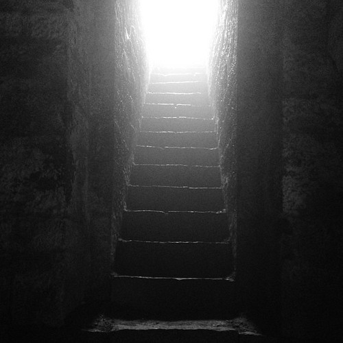
The religious feelings

Natural Perls

Jai Shivaji Jai Bhavani #chhatrapati #Shivaji #kolhapur #kolhapurdiaries #travel
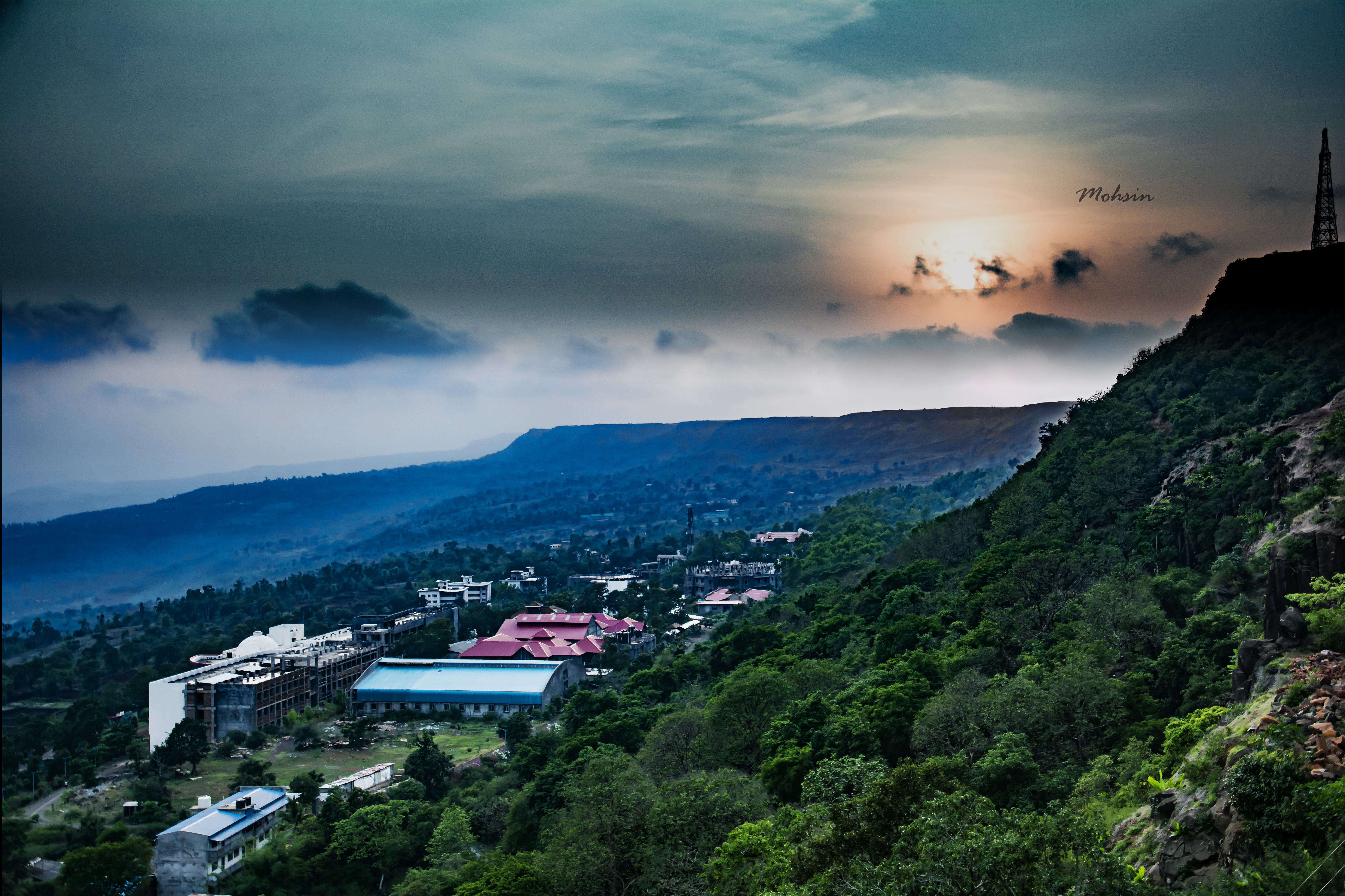
Sunset Point
Who knows the real #history?
Topographic Map of Shittur Tarf Malkapur, Maharashtra, India
Find elevation by address:

Places near Shittur Tarf Malkapur, Maharashtra, India:
Parkhandale
Kelewadi
Khatwadi
Salashi
Donoli
Ambarde
Khutalwadi
Bandivade
Bongewadi
Borivade
Shirale Tarf Malkapur
Awali
Undri
Vekhandwadi
Injole
Nanundre
Masai Plateau
Paijarwadi
Mhalunge Tarf Thane
Telave
Recent Searches:
- Elevation of Turner Mill Rd, Talladega, AL, USA
- Elevation of Wylie Ridge Rd, New Cumberland, WV, USA
- Elevation of Dogwood Ln, Millsboro, DE, USA
- Elevation of Paseo Lucido, San Diego, CA, USA
- Elevation of W S, Orem, UT, USA
- Elevation of Water Bird Wy, Punta Gorda, FL, USA
- Elevation of Teiskontie 8, Tampere, Finland
- Elevation of Pacific View Dr, Malibu, CA, USA
- Elevation of Thorpe Cir, Thousand Oaks, CA, USA
- Elevation of Eldorado do Sul - RS, Brazil