Elevation map of Shire of Roebourne, Roebourne, WA, Australia
Location: Australia > Western Australia >
Longitude: 116.608165
Latitude: -20.959649
Elevation: 32m / 105feet
Barometric Pressure: 101KPa
Elevation Map:
Satellite Map:
Related Photos:
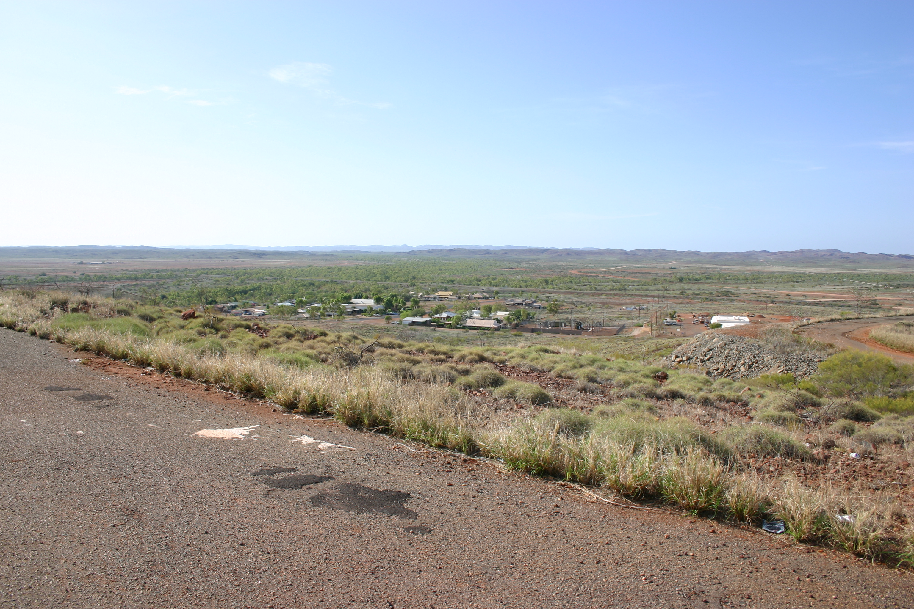
First view of Roebourne, Western Australia
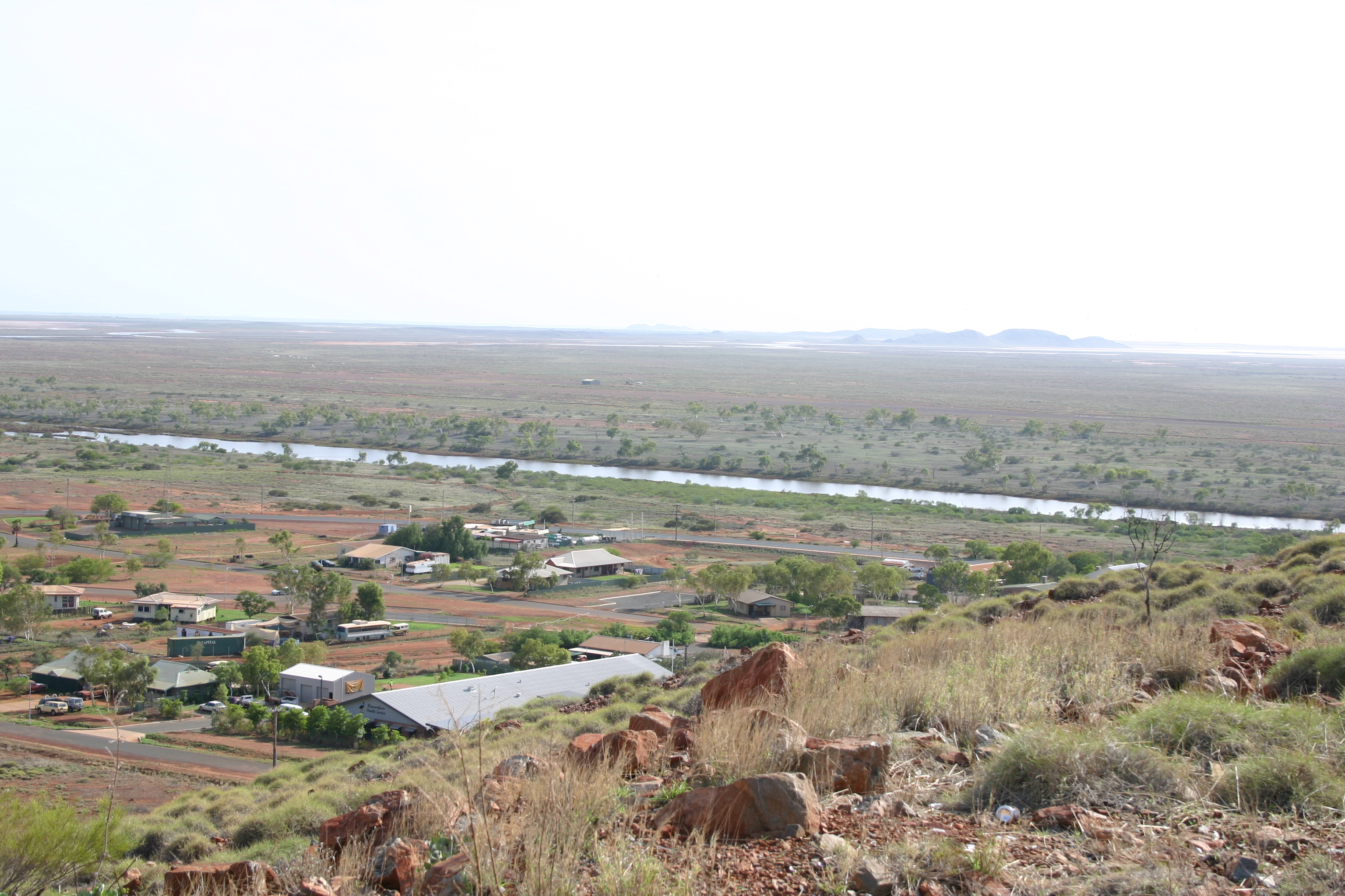
View of Roebourne in opposite direction

Karijini Contrast
Topographic Map of Shire of Roebourne, Roebourne, WA, Australia
Find elevation by address:

Places in Shire of Roebourne, Roebourne, WA, Australia:
Places near Shire of Roebourne, Roebourne, WA, Australia:
Recent Searches:
- Elevation of Gateway Blvd SE, Canton, OH, USA
- Elevation of East W.T. Harris Boulevard, E W.T. Harris Blvd, Charlotte, NC, USA
- Elevation of West Sugar Creek, Charlotte, NC, USA
- Elevation of Wayland, NY, USA
- Elevation of Steadfast Ct, Daphne, AL, USA
- Elevation of Lagasgasan, X+CQH, Tiaong, Quezon, Philippines
- Elevation of Rojo Ct, Atascadero, CA, USA
- Elevation of Flagstaff Drive, Flagstaff Dr, North Carolina, USA
- Elevation of Avery Ln, Lakeland, FL, USA
- Elevation of Woolwine, VA, USA