Elevation of Shire of Kojonup, Kojonup, WA, Australia
Location: Australia > Western Australia >
Longitude: 117.079408
Latitude: -33.898049
Elevation: 293m / 961feet
Barometric Pressure: 98KPa
Elevation Map:
Satellite Map:
Related Photos:

On Route 30 #1
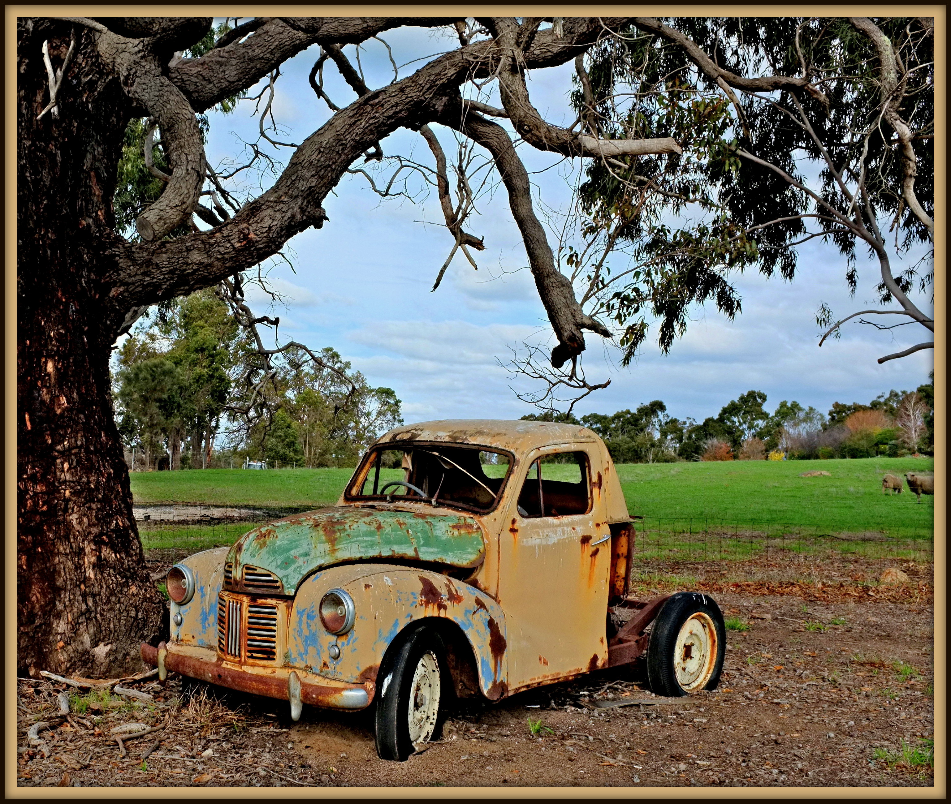
A40 Utility

Down on the farm

Motel Accommodation Kojonup WA - Cornwall House Accommodation #apartment

Stick Insect

Country Kitchen, Kojanup, Western Australia

Fletchers Transport Scania R620

Kojonup Hall

South West Australia

Replica wagon and load, Williams
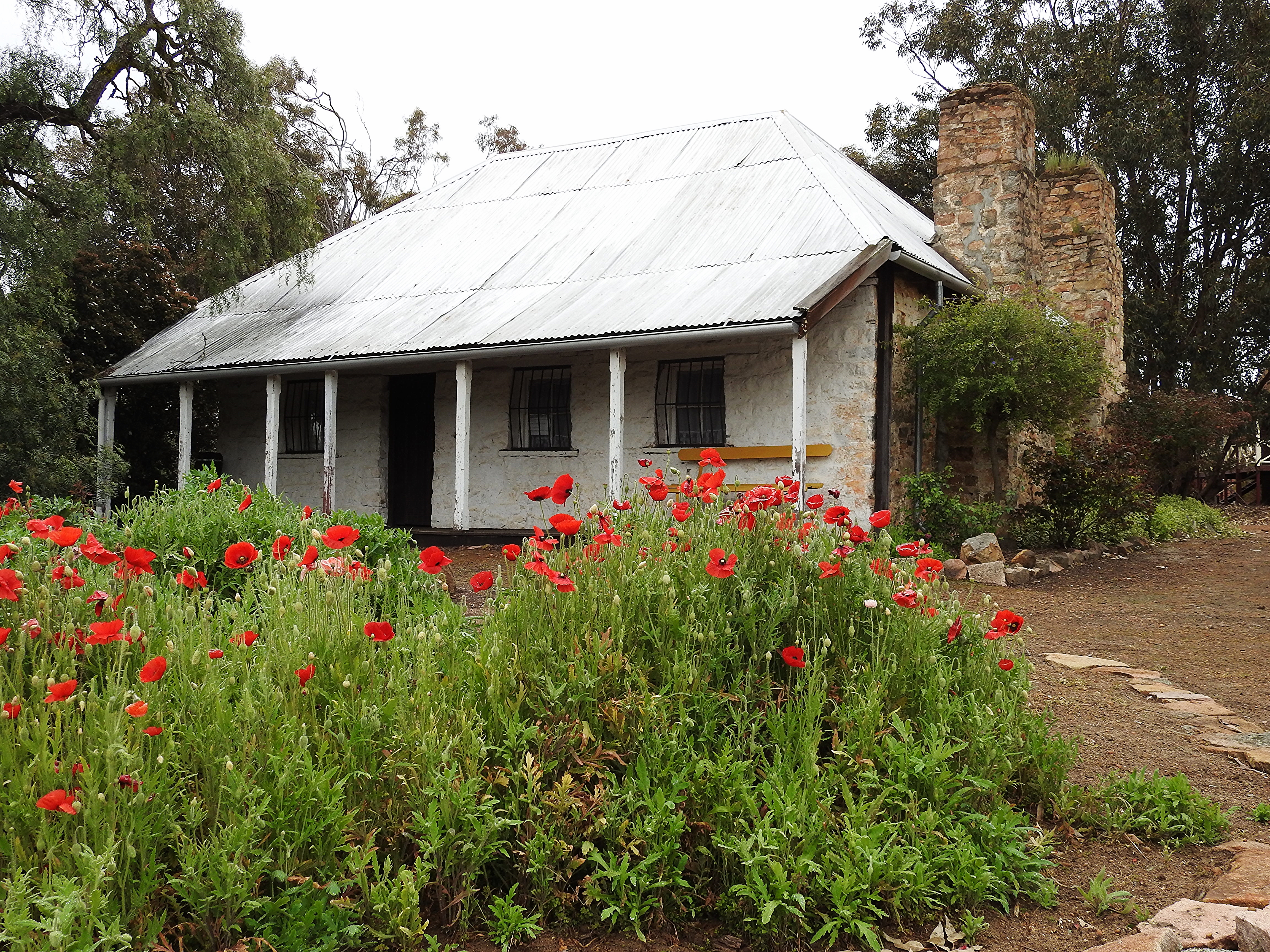
Kojonup - former Military Barracks.

Long drive from Perth to Albany. Rest stop at Creepy Hollow Cafe at Kojonup. #kojonup #drivetrip #westernaustralia

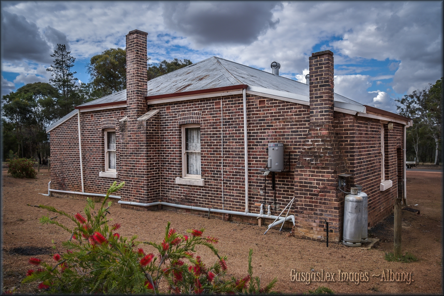
Chimney in Muradup
Muradup town hall.

Muradup hall
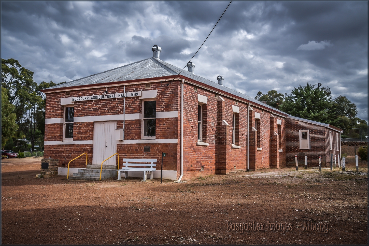
Muradup Hall 1909

CWA fountain

Albany - August 2017

New Holland Honeyeater

New Holland Honeyeater

Australian Ringneck (28)
Topographic Map of Shire of Kojonup, Kojonup, WA, Australia
Find elevation by address:

Places in Shire of Kojonup, Kojonup, WA, Australia:
Places near Shire of Kojonup, Kojonup, WA, Australia:
Kojonup
20 Albany Hwy
63 Newstead Rd
Broomehill Village
15 Ivy St W
Shire Of Broomehill-tambellup
Shire Of Denmark
Stirling Range National Park
Shadforth
10 Wishart Pl
10 Wishart Cl
22 Bavin St
15 Scotsdale Rd
Walpole
Denmark
Mount Hallowell
Ocean Beach
Drome
Albany Airport
218 Grey St W
Recent Searches:
- Elevation of Congressional Dr, Stevensville, MD, USA
- Elevation of Bellview Rd, McLean, VA, USA
- Elevation of Stage Island Rd, Chatham, MA, USA
- Elevation of Shibuya Scramble Crossing, 21 Udagawacho, Shibuya City, Tokyo -, Japan
- Elevation of Jadagoniai, Kaunas District Municipality, Lithuania
- Elevation of Pagonija rock, Kranto 7-oji g. 8"N, Kaunas, Lithuania
- Elevation of Co Rd 87, Jamestown, CO, USA
- Elevation of Tenjo, Cundinamarca, Colombia
- Elevation of Côte-des-Neiges, Montreal, QC H4A 3J6, Canada
- Elevation of Bobcat Dr, Helena, MT, USA