Elevation of Shirahatti, Karnataka, India
Location: India > Karnataka > Gadag >
Longitude: 75.5771573
Latitude: 15.2312878
Elevation: 685m / 2247feet
Barometric Pressure: 93KPa
Elevation Map:
Satellite Map:
Related Photos:
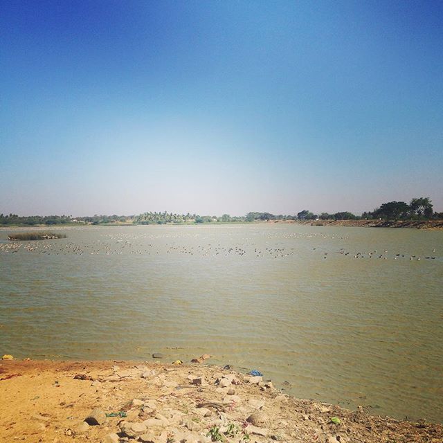
Thousands of bar-headed geese at Magadi...
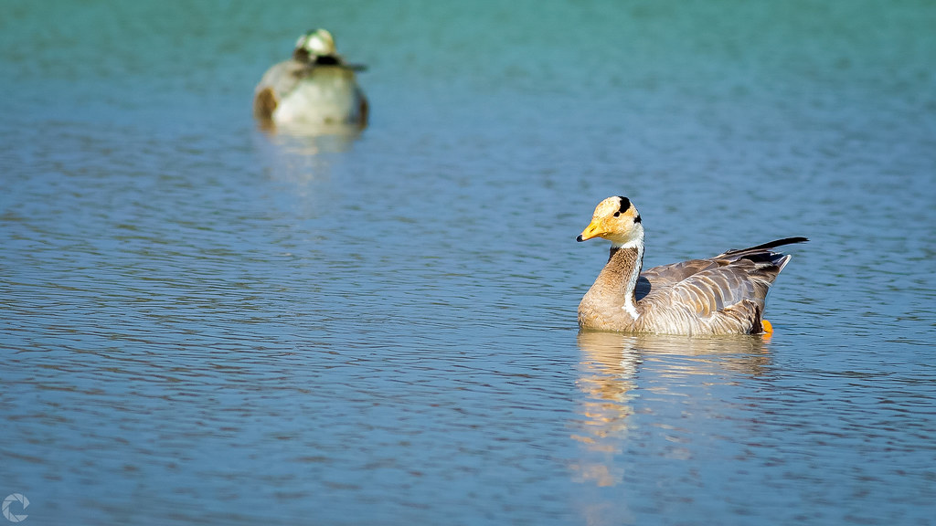
Bar-Headed Goose
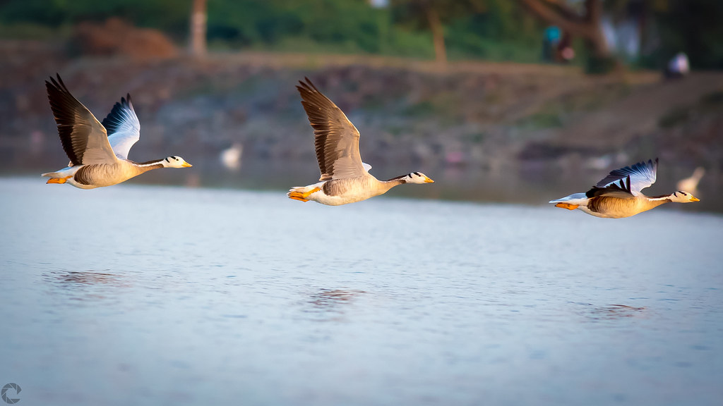
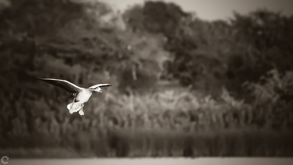
Fly-By
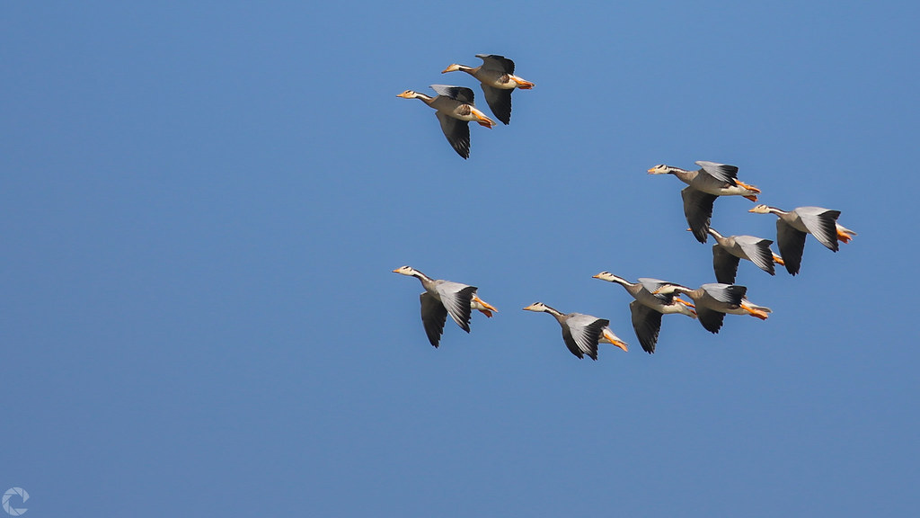
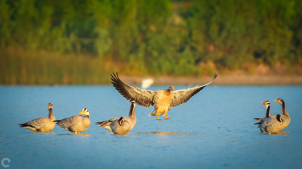
Flock of Bar-headed goose
Bar-headed goose
Bar-headed goose
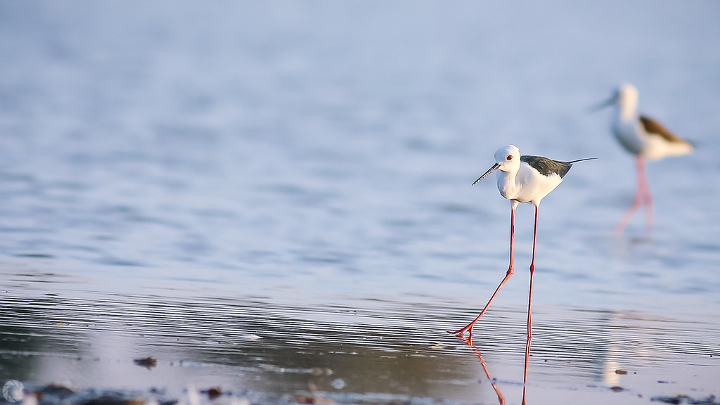
Black-winged Stilt
A/D
Color Contrast
Topographic Map of Shirahatti, Karnataka, India
Find elevation by address:

Places near Shirahatti, Karnataka, India:
Karnataka
Hadagali
Gadag
Gadag
Mundargi
Kundgol
Savanur
Dharwad
Murarhalli
Shiggaon
Bisanhalli
Pale
Kotgondhunsi
Devagiri
Varur
Ramankop
Gotagodi
Shyadambi
Gabbur
Bankapur
Recent Searches:
- Elevation of W Granada St, Tampa, FL, USA
- Elevation of Pykes Down, Ivybridge PL21 0BY, UK
- Elevation of Jalan Senandin, Lutong, Miri, Sarawak, Malaysia
- Elevation of Bilohirs'k
- Elevation of 30 Oak Lawn Dr, Barkhamsted, CT, USA
- Elevation of Luther Road, Luther Rd, Auburn, CA, USA
- Elevation of Unnamed Road, Respublika Severnaya Osetiya — Alaniya, Russia
- Elevation of Verkhny Fiagdon, North Ossetia–Alania Republic, Russia
- Elevation of F. Viola Hiway, San Rafael, Bulacan, Philippines
- Elevation of Herbage Dr, Gulfport, MS, USA