Elevation of Shira Rd, Greenville, OH, USA
Location: United States > Ohio > Darke County > Neave Township >
Longitude: -84.677488
Latitude: 40.026126
Elevation: 321m / 1053feet
Barometric Pressure: 98KPa
Elevation Map:
Satellite Map:
Related Photos:
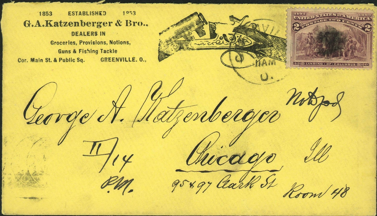
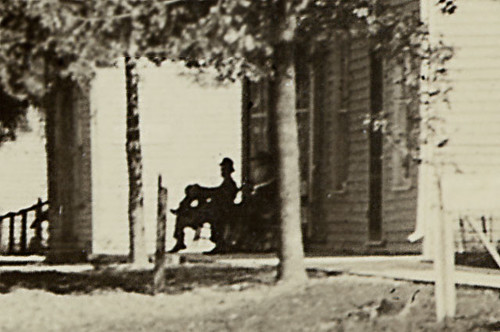
Envelope for Letter to George A. Katzenberger from Greenville to Chicago: 1893

Cemetery, Spartanburg, Indiana
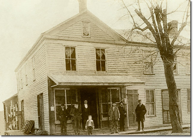
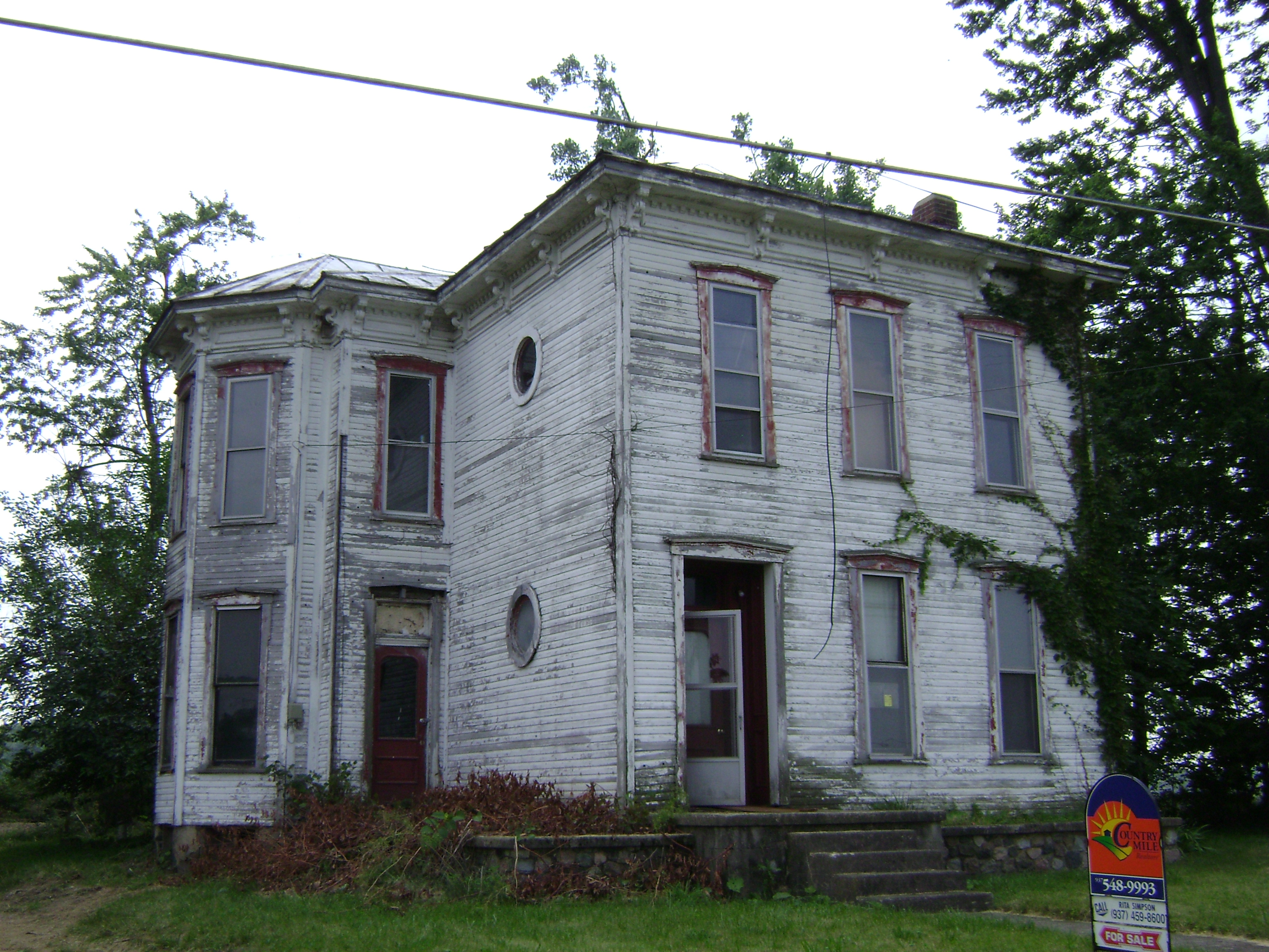
Chenoweth General Store, Spartanburg, Indiana
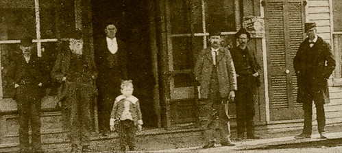
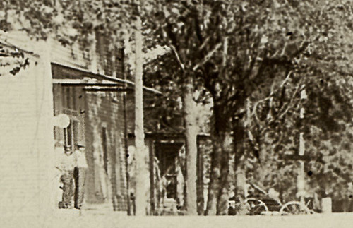
Chenoweth store, Spartanburg, Indiana, section
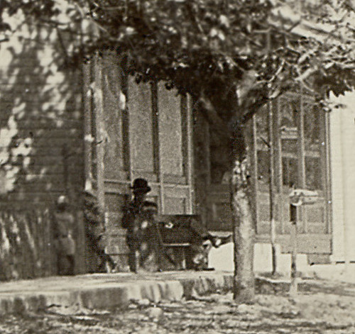
Main Street, Spartanburg, Indiana, section 1
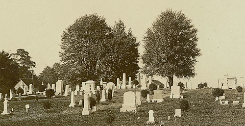
Spartanburg Cemetery, Spartanburg, Indiana, section
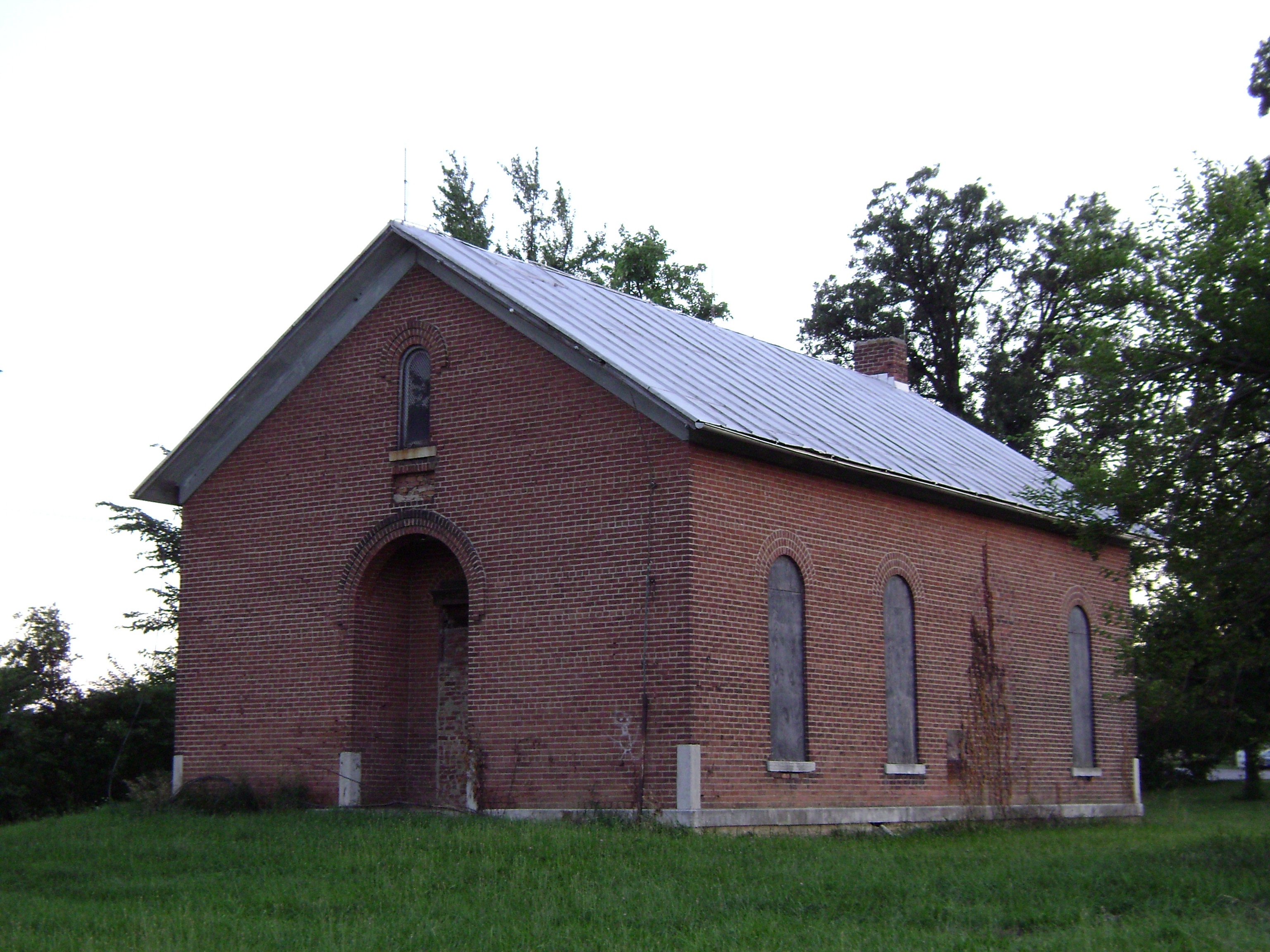
Wakefield, Ohio- Wakefield Schoolhouse
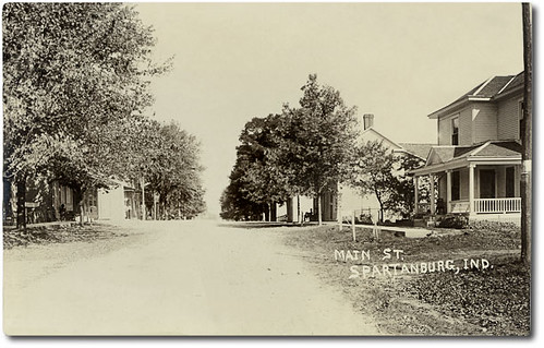
Main Street, Spartanburg, Indiana
Main Street, Spartanburg, Indiana, section 2
Main Street, Spartanburg, Indiana, section 3
Baker, Ohio
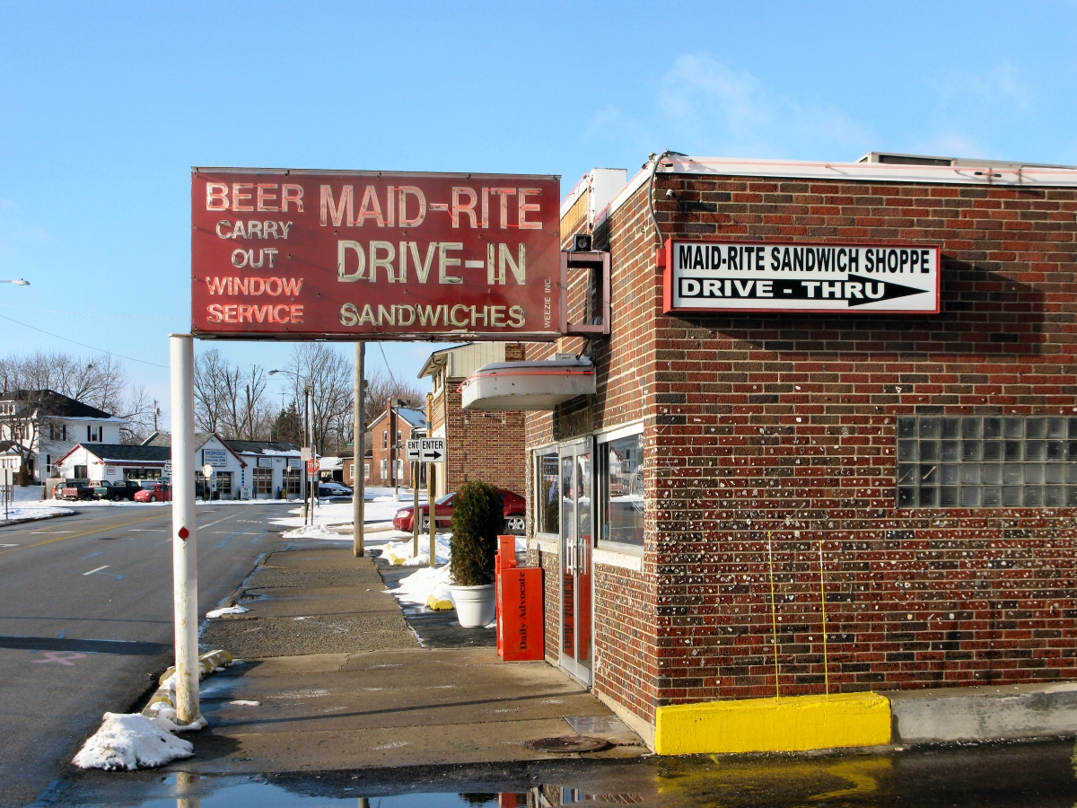
Maid-Rite Streetside
Fort Jefferson, Ohio
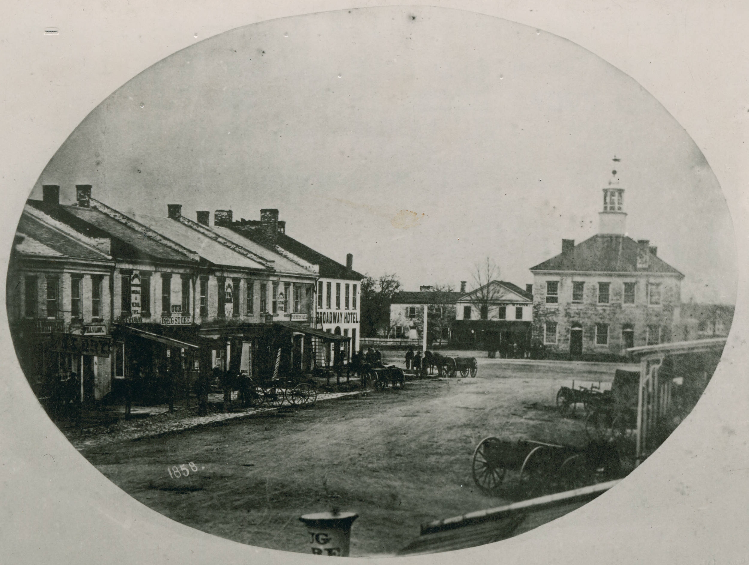
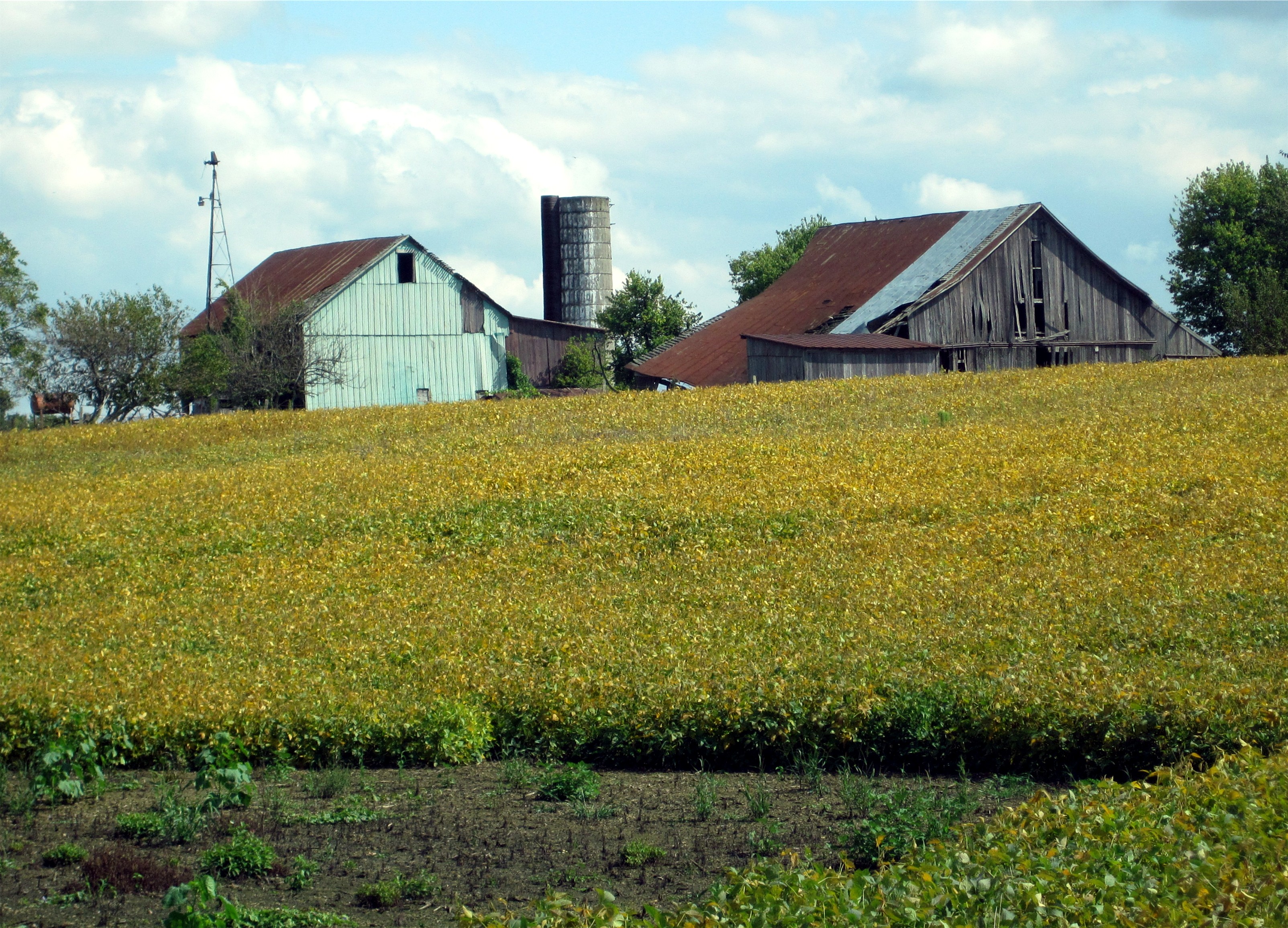
Greenville, Ohio

Maid Rite - Greenville, OH - Gum Wall

View in Greenville

Darke County Sunset 3

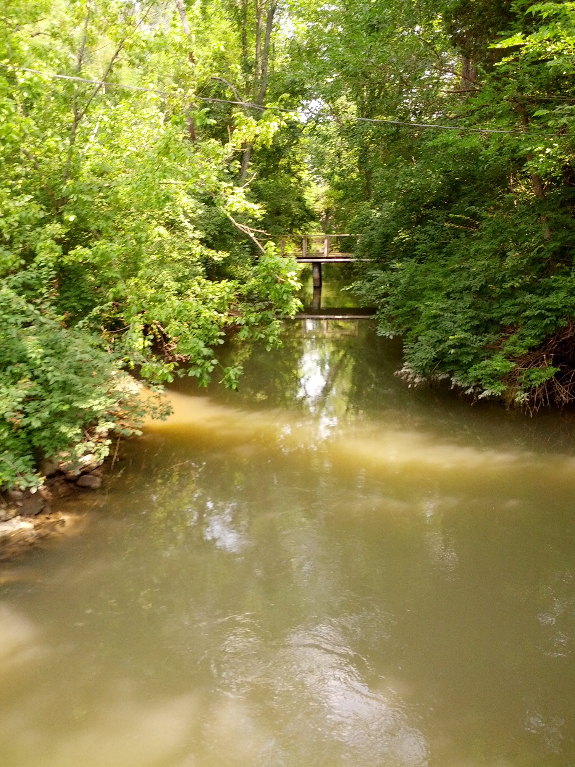
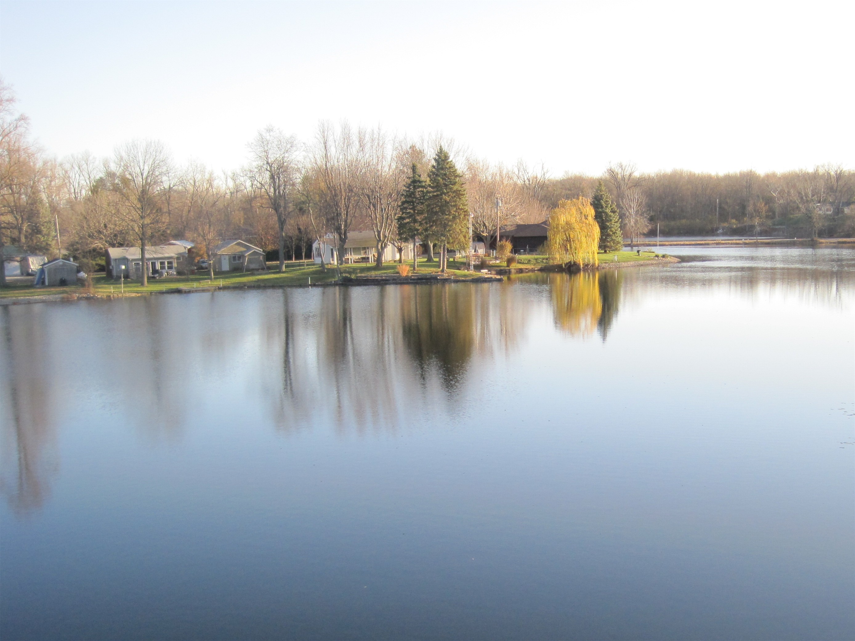
Evening on the Greenville Creek

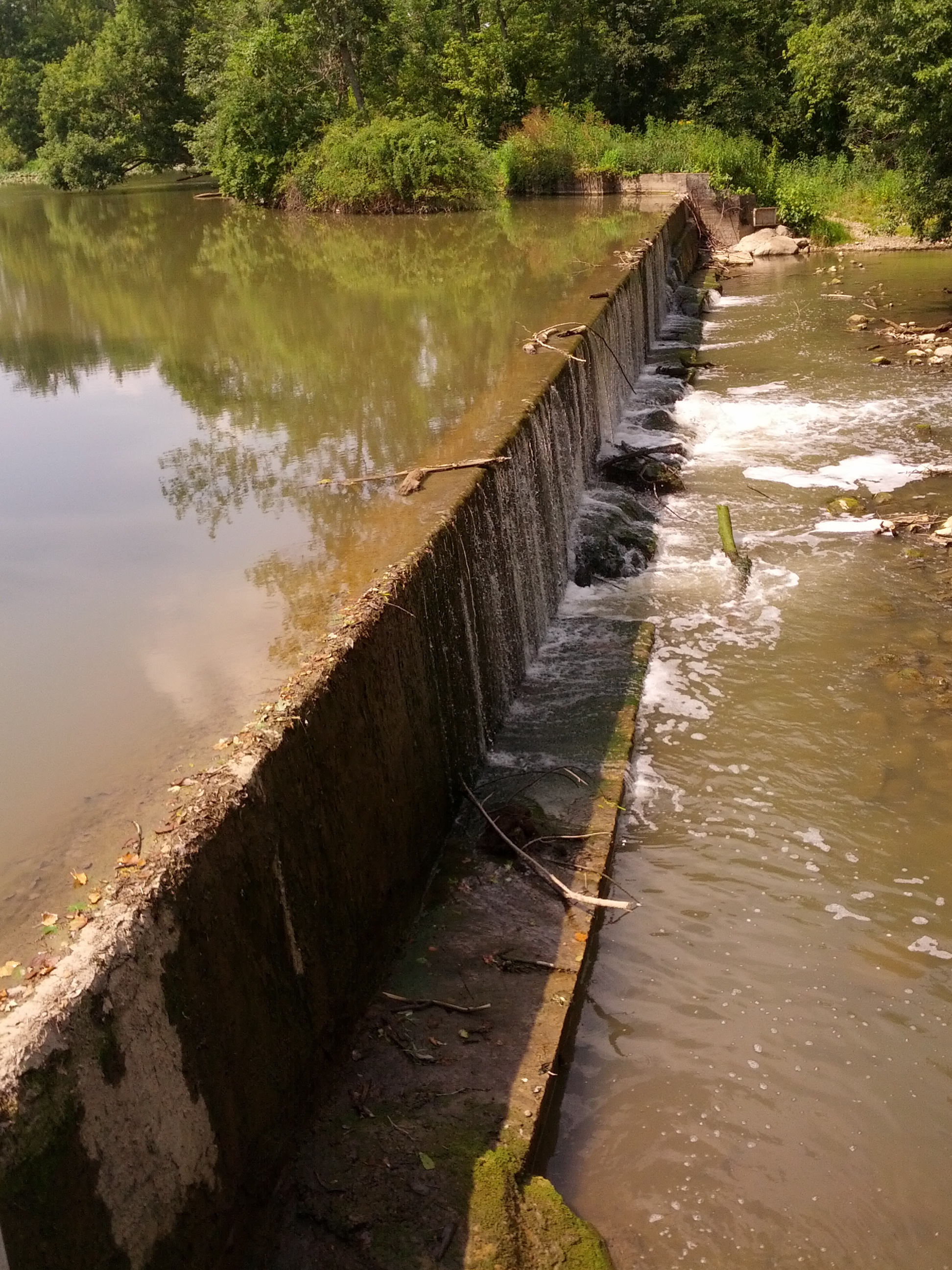
Greenville Creek
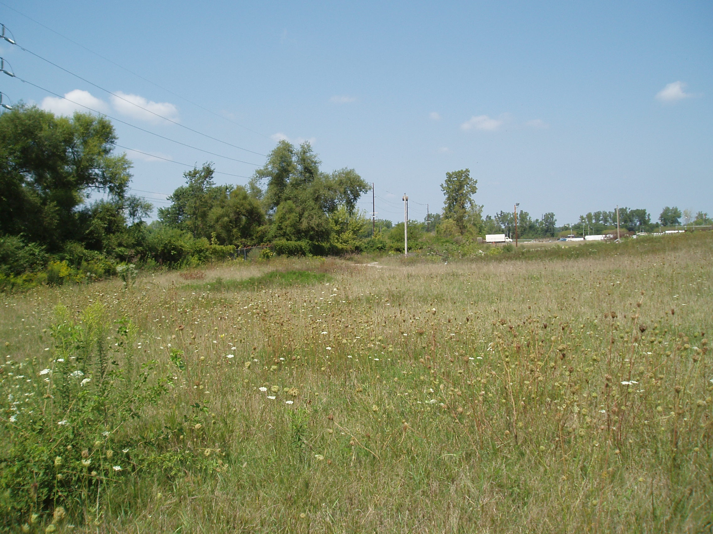
Greenville-Former Corning Glass Facility (CORF & COAF)
Highest Point in Indiana

Thanks to @johnbakerphotography for the wonderful...

A picture of trees and water.

Evening summer sky
bears mill

X-treme on tha green
bears mill, greenville, oh

nofilter needed, but I used one...
A day filled with fun and swag

Darke County Fairgrounds Sunset 1
USA Photos

Hoosier Hill

High Point in Indiana

Morning Has Broken
USA Photos

Abandoned Drive-In
USA Photos
Topographic Map of Shira Rd, Greenville, OH, USA
Find elevation by address:

Places near Shira Rd, Greenville, OH, USA:
4610 Delisle Fourman Rd
Neave Township
1907 Preble Cty Butler Township Rd
Butler Township
New Madison
5484 Oh-49
Preble Cty Butler Township Rd, New Madison, OH, USA
5119 Sebring Warner Rd
5119 Sebring Warner Rd
5119 Sebring Warner Rd
5119 Sebring Warner Rd
5119 Sebring Warner Rd
5119 Sebring Warner Rd
5119 Sebring Warner Rd
Sebring Warner Road
Arcanum
6713 Dull Rd
Twin Township
Cross St, Arcanum, OH, USA
Ithaca
Recent Searches:
- Elevation of Tenjo, Cundinamarca, Colombia
- Elevation of Côte-des-Neiges, Montreal, QC H4A 3J6, Canada
- Elevation of Bobcat Dr, Helena, MT, USA
- Elevation of Zu den Ihlowbergen, Althüttendorf, Germany
- Elevation of Badaber, Peshawar, Khyber Pakhtunkhwa, Pakistan
- Elevation of SE Heron Loop, Lincoln City, OR, USA
- Elevation of Slanický ostrov, 01 Námestovo, Slovakia
- Elevation of Spaceport America, Co Rd A, Truth or Consequences, NM, USA
- Elevation of Warwick, RI, USA
- Elevation of Fern Rd, Whitmore, CA, USA