Elevation of Shingūchō Umatate, Shikokuchūō-shi, Ehime-ken -, Japan
Location: Japan > Ehime Prefecture > Shikokuchuo >
Longitude: 133.640986
Latitude: 33.9176397
Elevation: 284m / 932feet
Barometric Pressure: 98KPa
Elevation Map:
Satellite Map:
Related Photos:
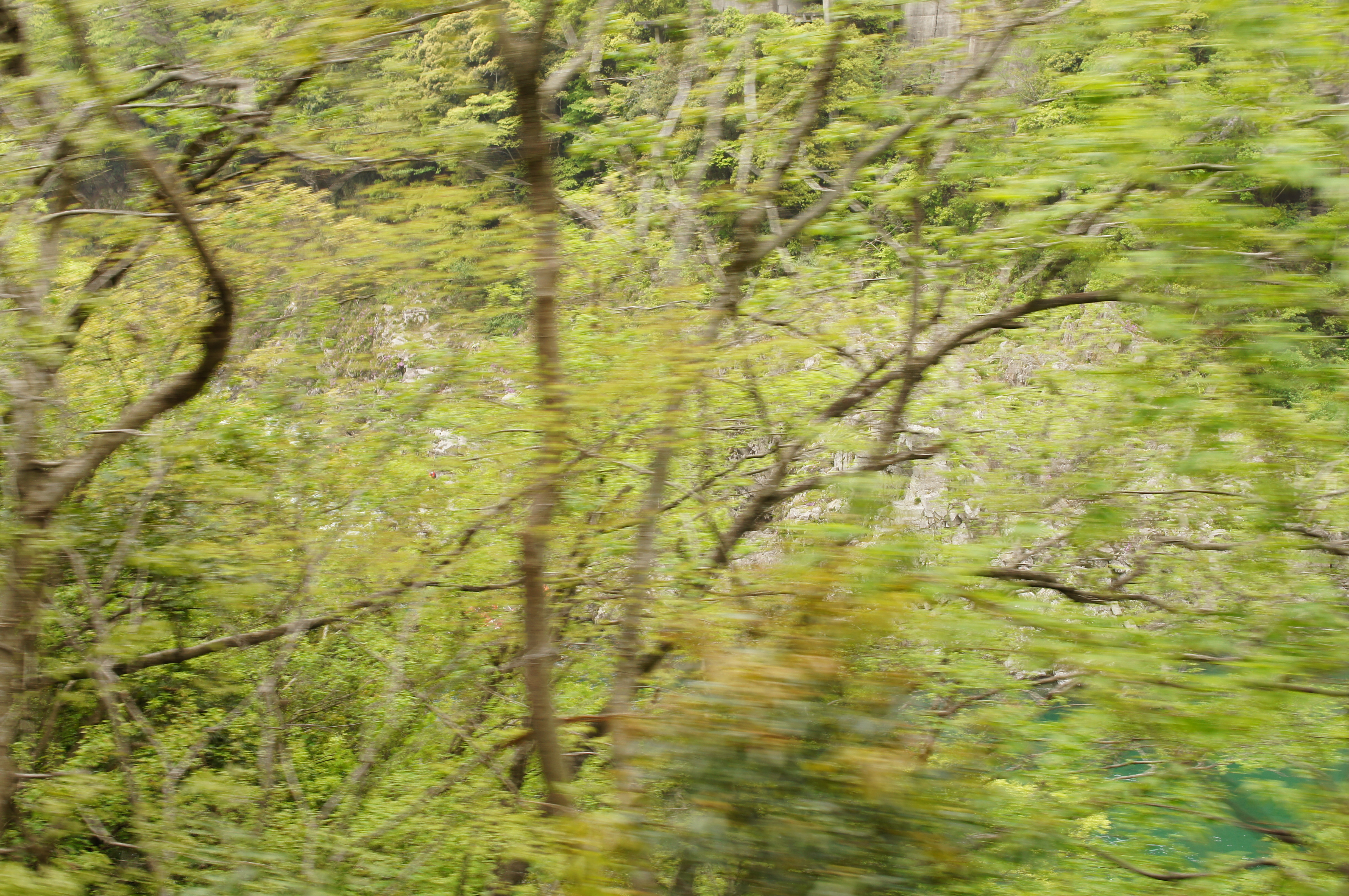
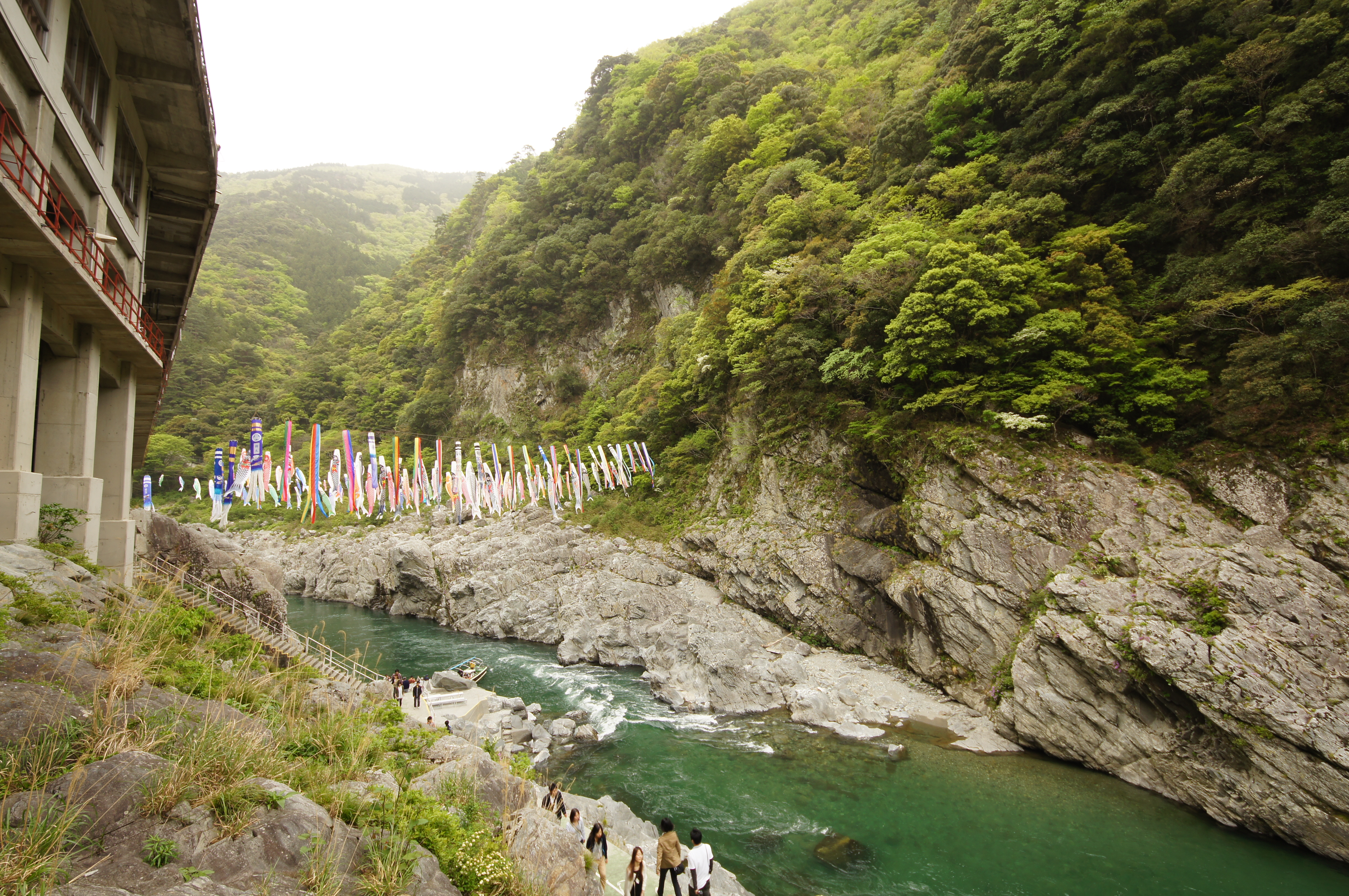
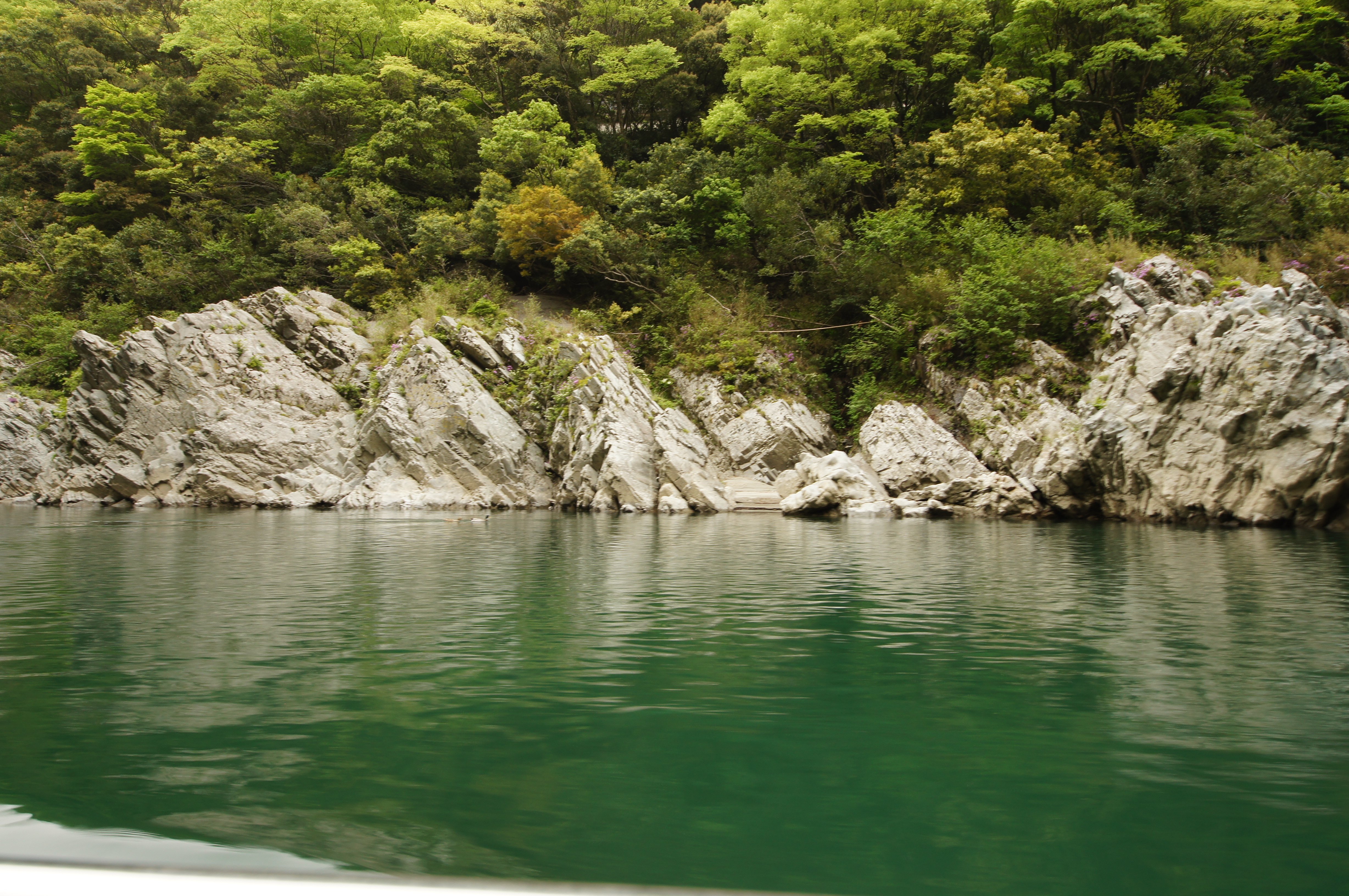
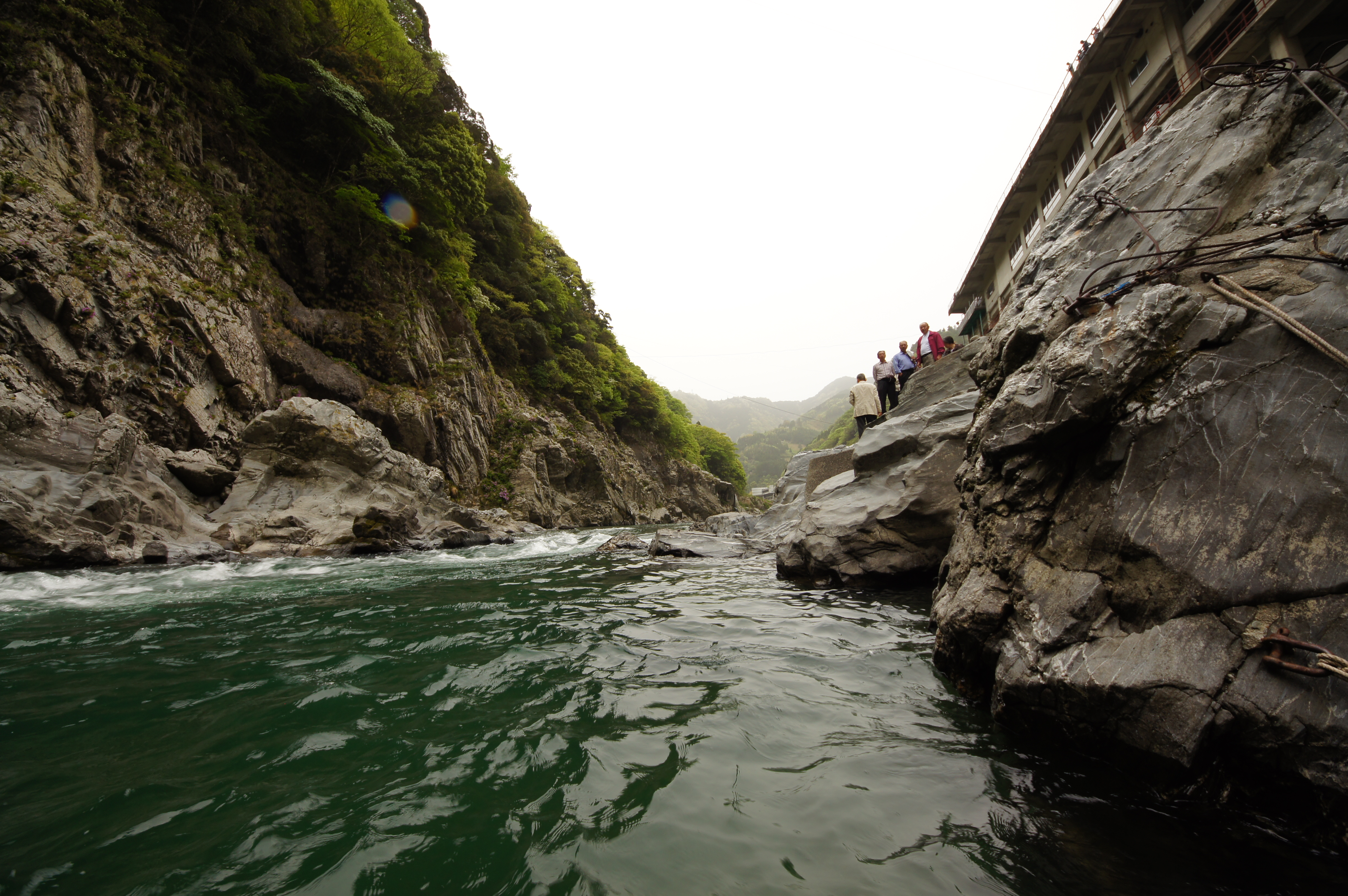
Oboke and Yoshino-gawa river

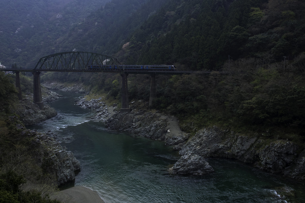
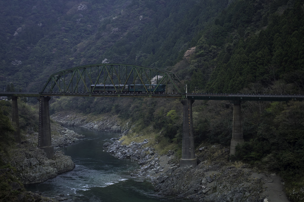
Railroad Bridge across Yoshino river at Oboke-Koboke Gorge, stereo parallel view
Railroad Bridge across Yoshino river at Oboke-Koboke Gorge, stereo parallel view
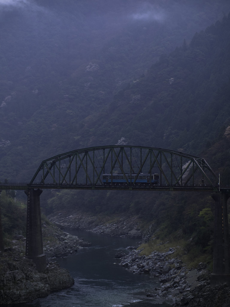
Railroad Bridge across Yoshino river at Oboke-Koboke Gorge, stereo cross view
Railroad Bridge across Yoshino river at Oboke-Koboke Gorge, stereo parallel view
Railroad Bridge across Yoshino river at Oboke-Koboke Gorge, stereo cross view

Railroad Bridge across Yoshino river at Oboke-Koboke Gorge, stereo cross view

Yoshino-gawa river
Shikoku view
Arriving at Iya Valley
At Oboke Station, Iya Valley
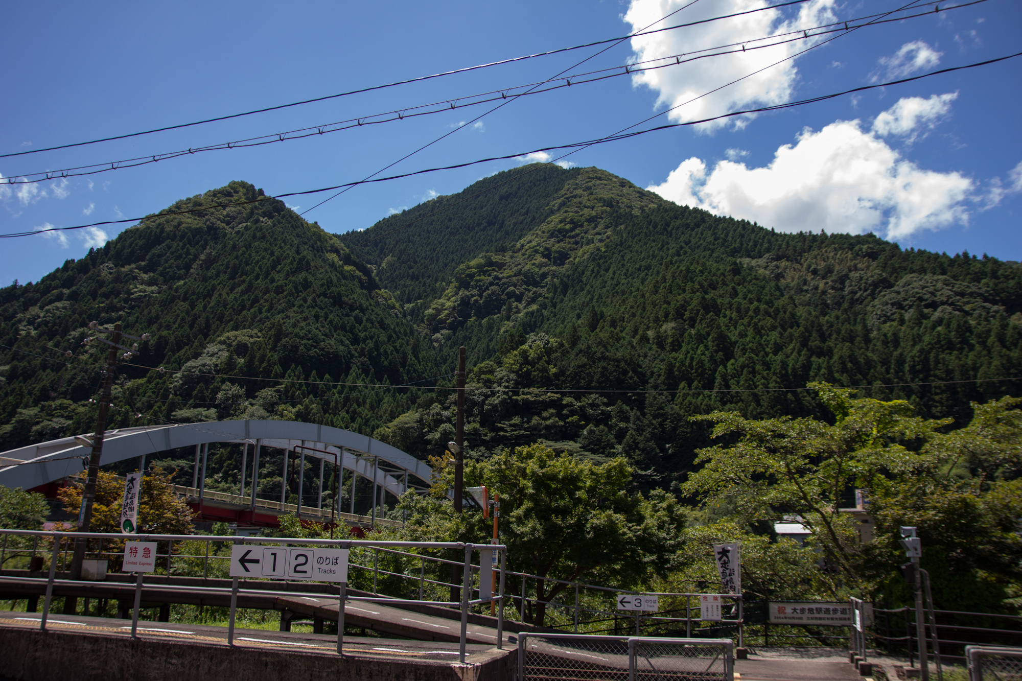
At Oboke Station, Iya Valley
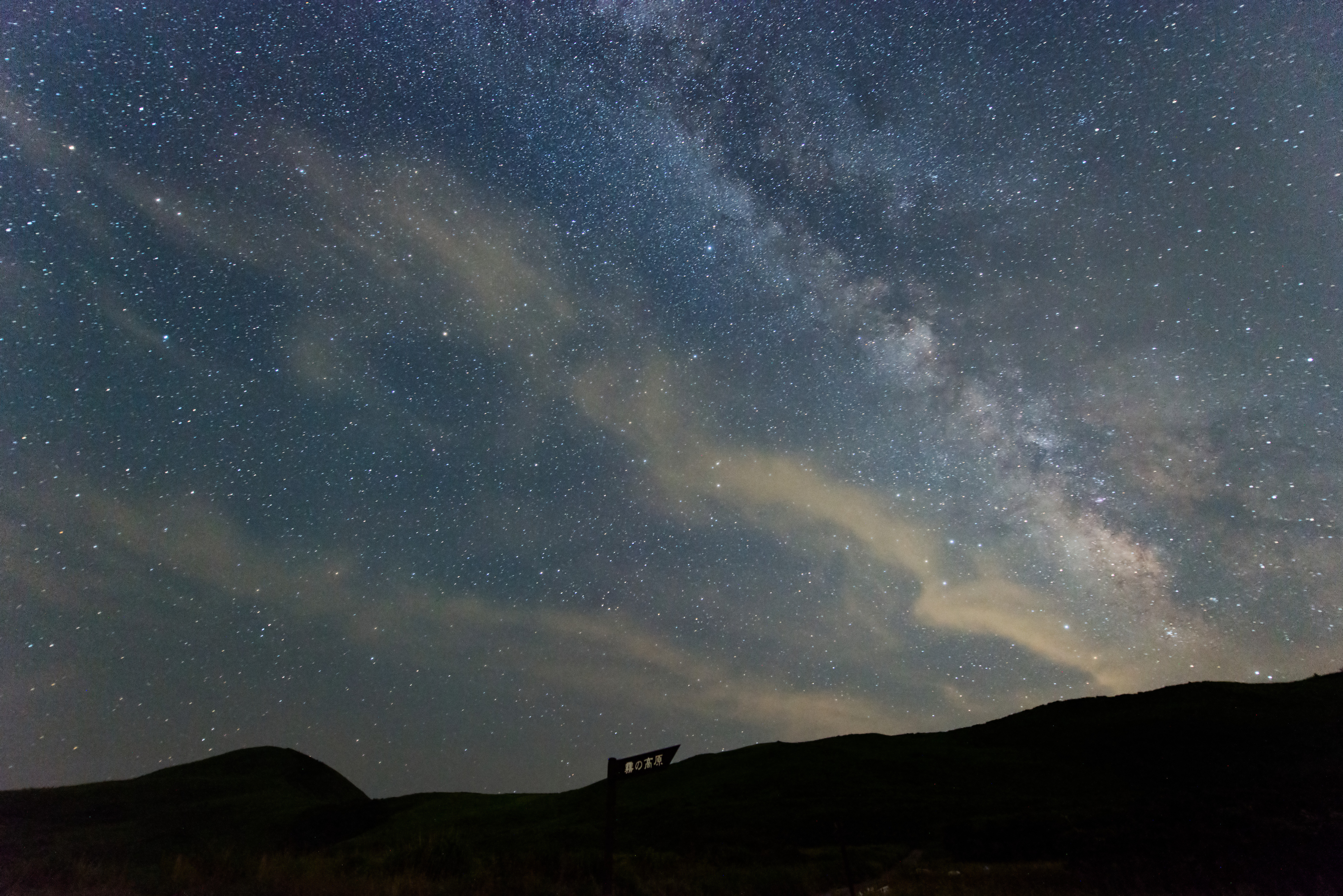
Milky Way visible to the plateau of fog
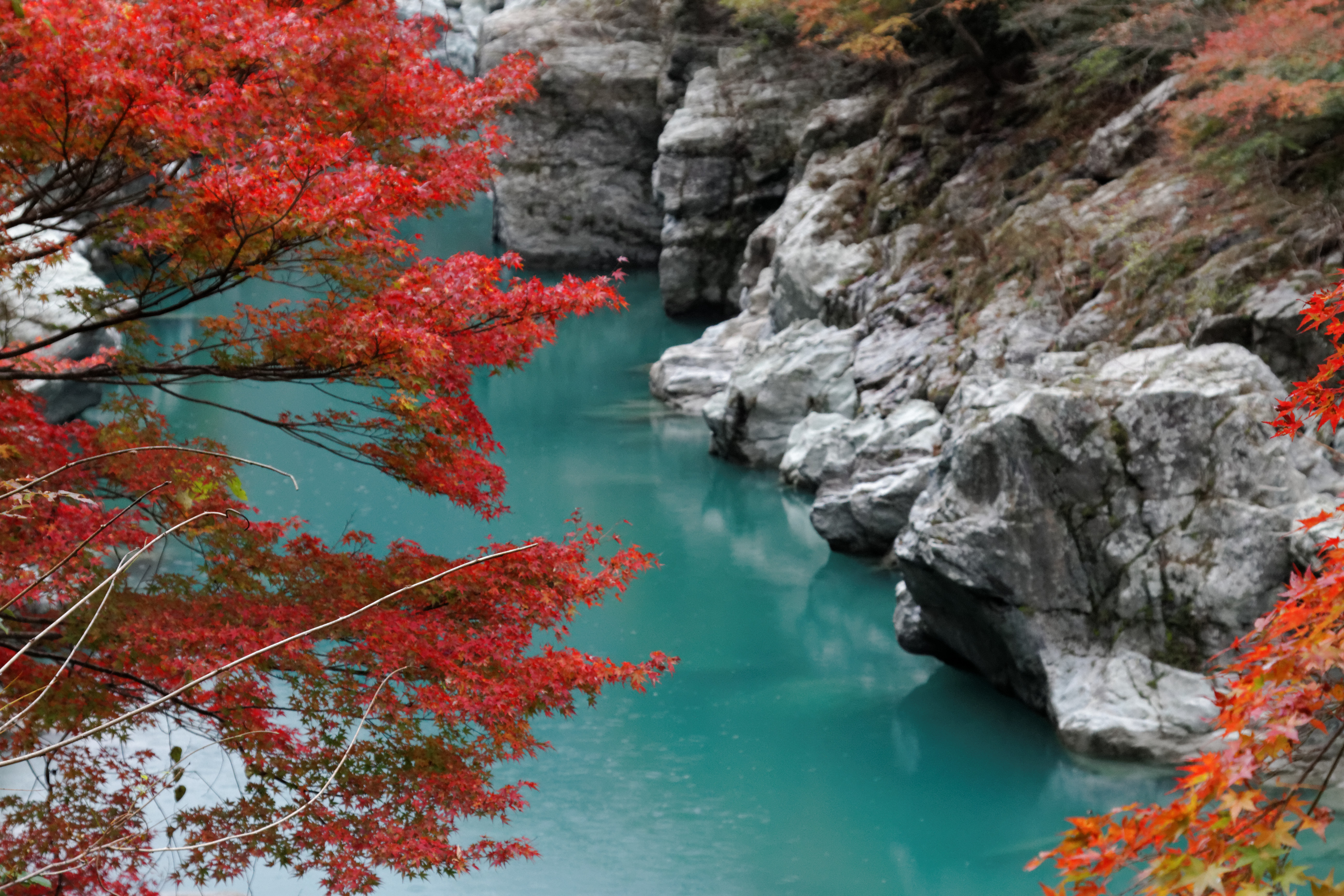
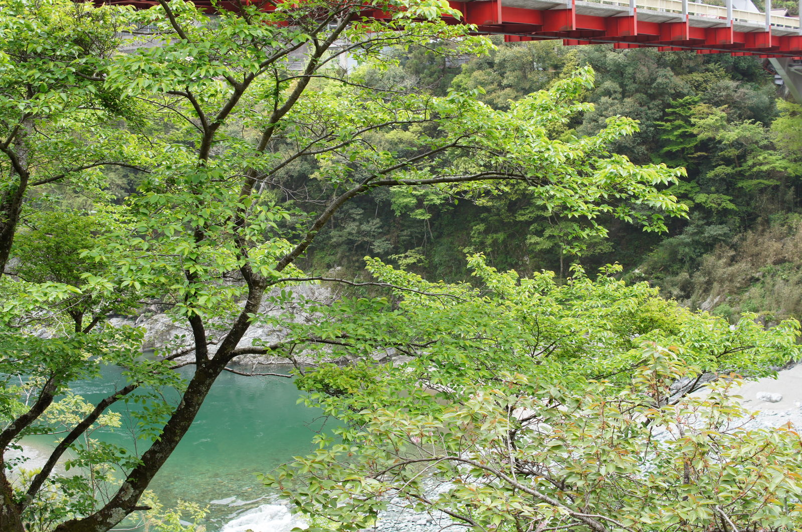
Iya gorge

祖谷渓谷 Iya Valley
DSC05621.JPG
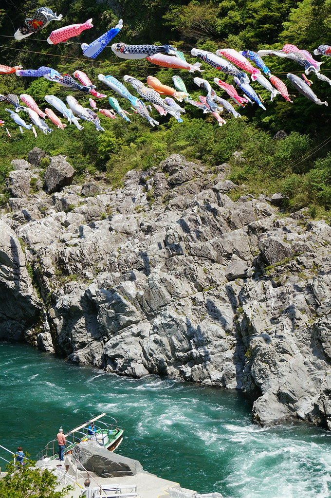
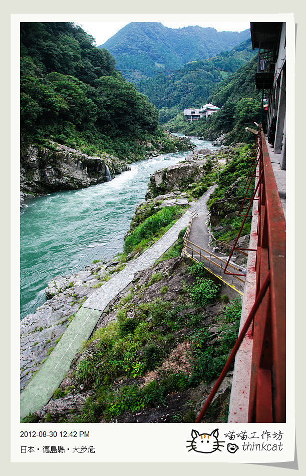
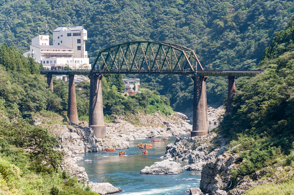
大歩危峡 Oboke Gorge
Dosan line 06
Dosan line 07
DSC05730.JPG
DSC05703.JPG

2012 0414 15-36-31 GMT+9h

20081002_093.jpg
DSC05636.JPG
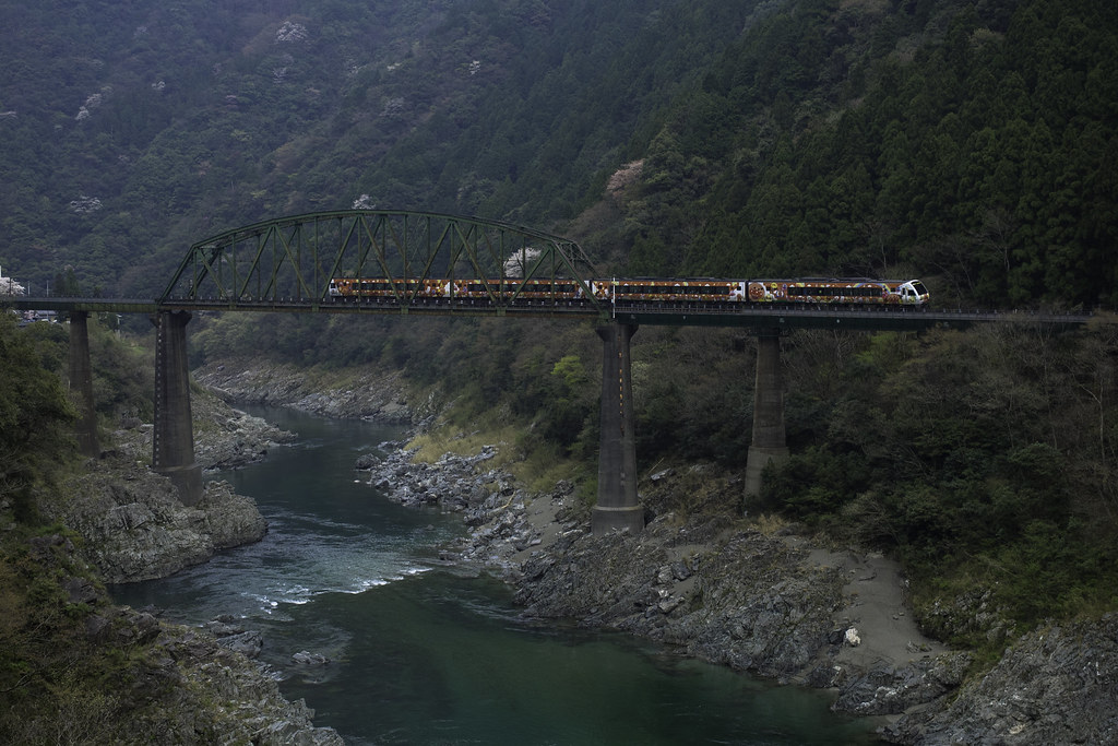
Dosan line 04
DSC_6013.jpg
小歩危 鉄道橋
DSC05716.JPG
Dosan line 05
Topographic Map of Shingūchō Umatate, Shikokuchūō-shi, Ehime-ken -, Japan
Find elevation by address:

Places near Shingūchō Umatate, Shikokuchūō-shi, Ehime-ken -, Japan:
Nagaoka District
51 Nishiiyayamamura Tokuzenkita, Miyoshi-shi, Tokushima-ken -, Japan
Toyohamachō Wadahama, Kanonji-shi, Kagawa-ken -, Japan
Otoyo
Sugi, Ōtoyo-chō, Nagaoka-gun, Kōchi-ken -, Japan
Miyoshi
Kurozō- Ikedachō Shikkawa, Miyoshi-shi, Tokushima-ken -, Japan
1 Chome-2-15 Sakamotochō, Kanonji-shi, Kagawa-ken -, Japan
Kanonji
Hiruma, Higashimiyoshi-chō, Miyoshi-gun, Tokushima-ken -, Japan
Yamamotochō Kōda, Mitoyo-shi, Kagawa-ken -, Japan
Mitoyo
Nakamura- Higashiyama, Higashimiyoshi-chō, Miyoshi-gun, Tokushima-ken -, Japan
Takasechō Shinmyō, Mitoyo-shi, Kagawa-ken -, Japan
Higashiiyaochiai, Miyoshi-shi, Tokushima-ken -, Japan
Miyoshi District
Kamoyama- Nishishō, Higashimiyoshi-chō, Miyoshi-gun, Tokushima-ken -, Japan
Higashimiyoshi
76 Kaita, Mannō-chō, Nakatado-gun, Kagawa-ken -, Japan
Monobechō Ōnishi, Kami-shi, Kōchi-ken -, Japan
Recent Searches:
- Elevation of Elwyn Dr, Roanoke Rapids, NC, USA
- Elevation of Congressional Dr, Stevensville, MD, USA
- Elevation of Bellview Rd, McLean, VA, USA
- Elevation of Stage Island Rd, Chatham, MA, USA
- Elevation of Shibuya Scramble Crossing, 21 Udagawacho, Shibuya City, Tokyo -, Japan
- Elevation of Jadagoniai, Kaunas District Municipality, Lithuania
- Elevation of Pagonija rock, Kranto 7-oji g. 8"N, Kaunas, Lithuania
- Elevation of Co Rd 87, Jamestown, CO, USA
- Elevation of Tenjo, Cundinamarca, Colombia
- Elevation of Côte-des-Neiges, Montreal, QC H4A 3J6, Canada