Elevation of Shin Point Rd, New Hope, AL, USA
Location: United States > Alabama > Madison County > New Hope >
Longitude: -86.342755
Latitude: 34.5099019
Elevation: 255m / 837feet
Barometric Pressure: 98KPa
Elevation Map:
Satellite Map:
Related Photos:

Honeycomb #Creek, backwater of the #Tennesee #River, near #Guntersville, #Alabama - h787 #Explore

Green Lagoon

Out of the Darkness

Tennessee Valley View - h803

cathedral caverns view

Cabin lake view

Split log bridge

An "improved" cave entrance

Cabin lake view

Cabin lake view

Cthulhu says turn the flash off!

Cabin lake view

Cabin lake view

The way out

Cabin lake view

View off of Grant Mountain

Sunset on Lake Guntersville Alabama

Sunset on Lake Guntersville Alabama

Red Barn Behind a Cotton Field

Lower Neighbors Mill Falls

Over The Rocks And Through The Woods

Guntersville Lake Alabama

Upper Neighbors Mill Falls

Shoal Creek Falls

Natural Bridge House

Sunset on Lake Guntersville Alabama

Sunset on Lake Guntersville Alabama

Sunset Lake Guntersville Alabama

Sunset on Lake Guntersville Alabama

Neighbors Mill

Union Grove Pano

Sunset on Lake Guntersville Alabama

Sunset on Lake Guntersville Alabama

Sunset on Lake Guntersville Alabama

Sunset on Lake Guntersville Al.
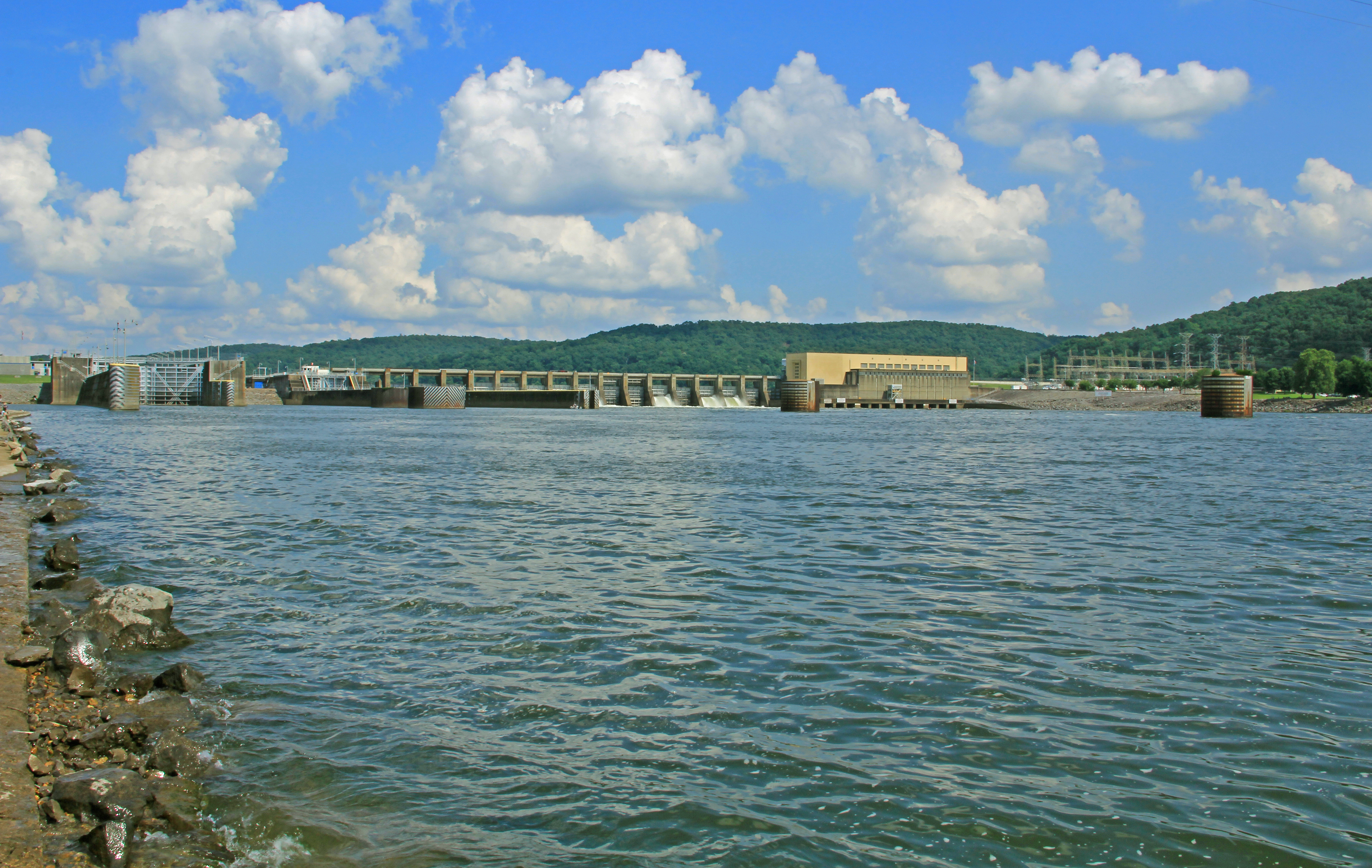
Guntersville Dam, Tennessee River, Tennessee Valley Authority (TVA), Marshall County, Alabama 2
Topographic Map of Shin Point Rd, New Hope, AL, USA
Find elevation by address:

Places near Shin Point Rd, New Hope, AL, USA:
2144 Paint Rock Rd
Butler Mill Road
Harden Dr, Grant, AL, USA
Nebo Rd, New Hope, AL, USA
88 Barnard Dr
88 Barnard Dr
Honeycomb Valley Rd, Grant, AL, USA
782 Honeycomb Rd
White Elephant Road
New Hope
White Elephant Rd, Grant, AL, USA
Scott Branch Rd, New Hope, AL, USA
46 Hummingbird Ln
Butler Mill Rd, Woodville, AL, USA
Dunsmore Dr, Grant, AL, USA
401 Scott Branch Rd
401 Scott Branch Rd
401 Scott Branch Rd
1111 Scott Branch Rd
Poplar Ridge Rd, New Hope, AL, USA
Recent Searches:
- Elevation of Gateway Blvd SE, Canton, OH, USA
- Elevation of East W.T. Harris Boulevard, E W.T. Harris Blvd, Charlotte, NC, USA
- Elevation of West Sugar Creek, Charlotte, NC, USA
- Elevation of Wayland, NY, USA
- Elevation of Steadfast Ct, Daphne, AL, USA
- Elevation of Lagasgasan, X+CQH, Tiaong, Quezon, Philippines
- Elevation of Rojo Ct, Atascadero, CA, USA
- Elevation of Flagstaff Drive, Flagstaff Dr, North Carolina, USA
- Elevation of Avery Ln, Lakeland, FL, USA
- Elevation of Woolwine, VA, USA