Elevation of Shimokoshikichō Teuchi, Satsumasendai-shi, Kagoshima-ken -, Japan
Location: Japan > Kagoshima Prefecture > Satsumasendai >
Longitude: 129.697755
Latitude: 31.6348521
Elevation: 7m / 23feet
Barometric Pressure: 101KPa
Elevation Map:
Satellite Map:
Related Photos:
Koshikijima Islands Japan
Koshikijima Islands Japan
Koshikijima Islands Japan

下甑西山地区

下甑手打の夜明け

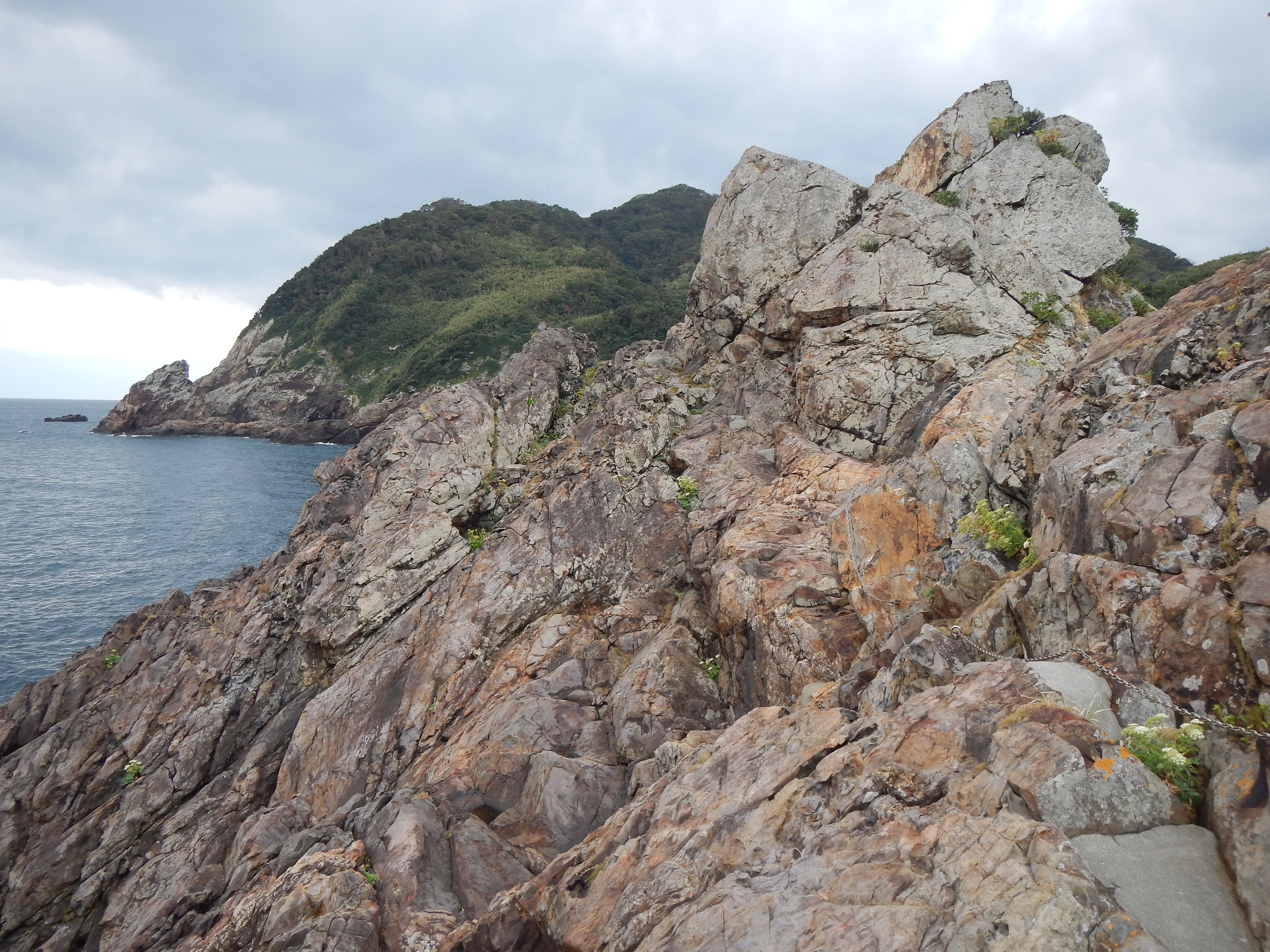
瀬々野浦

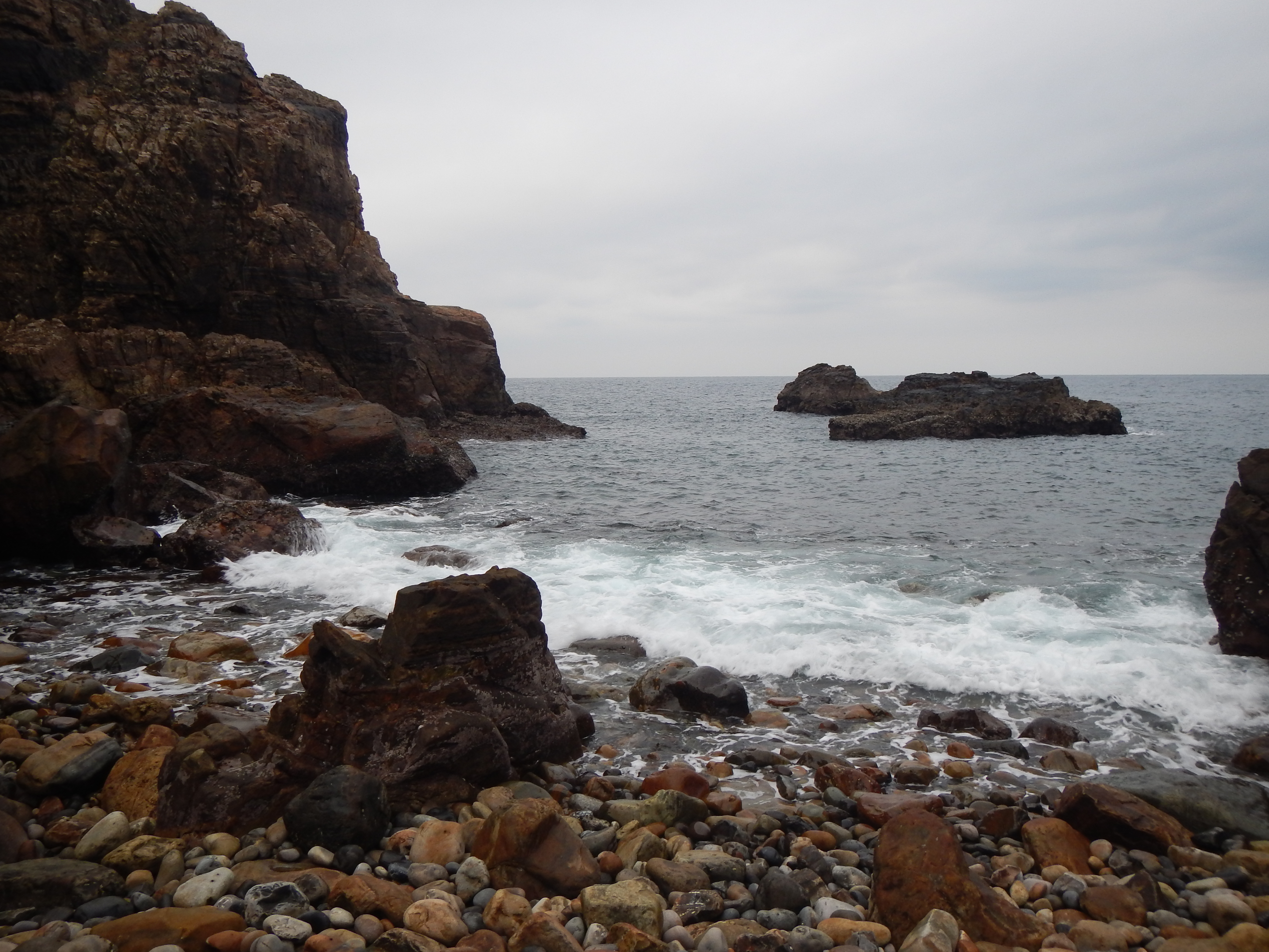
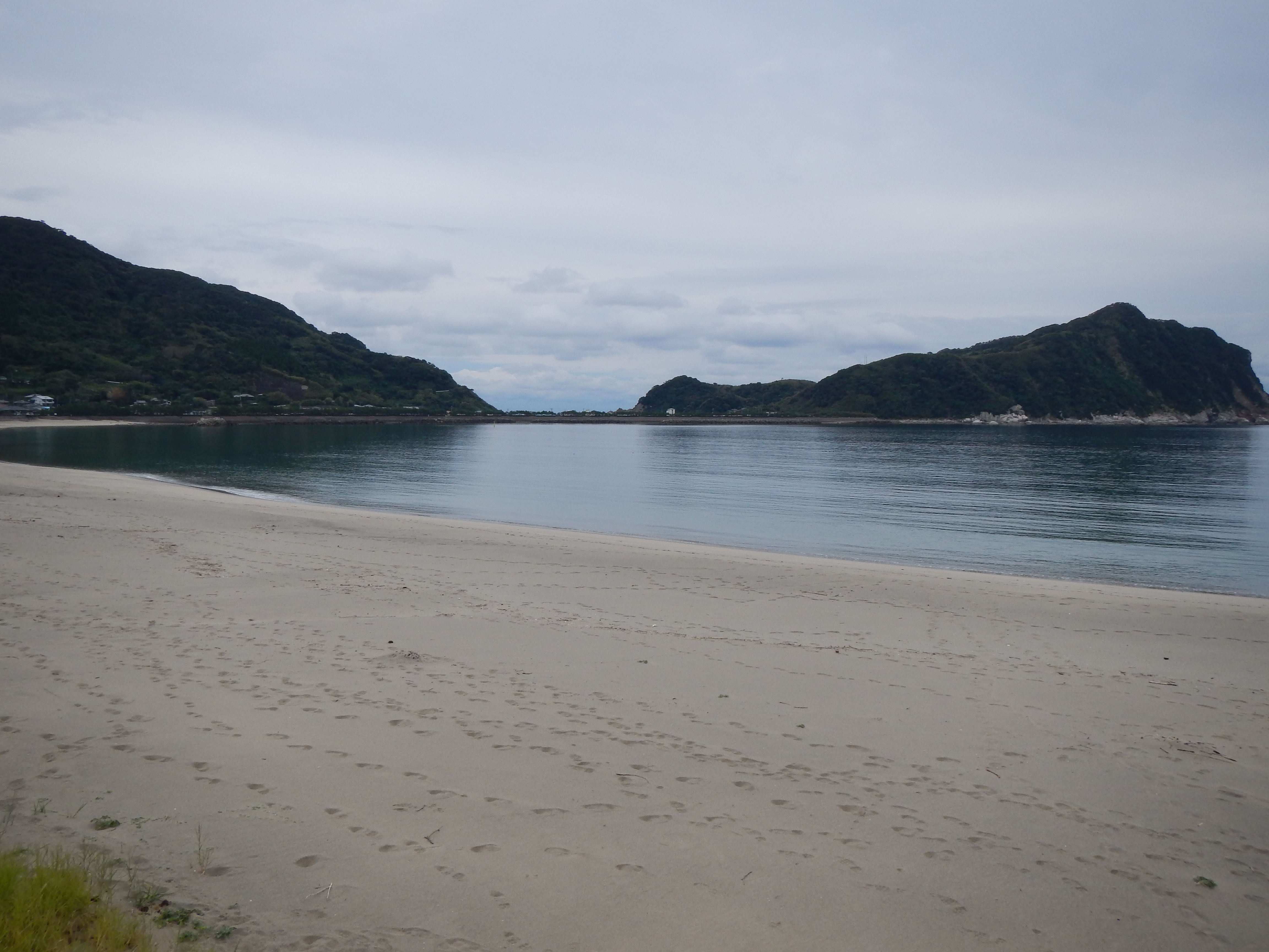
手打の浜

ナポレオン岩

東シナ海

西山地区

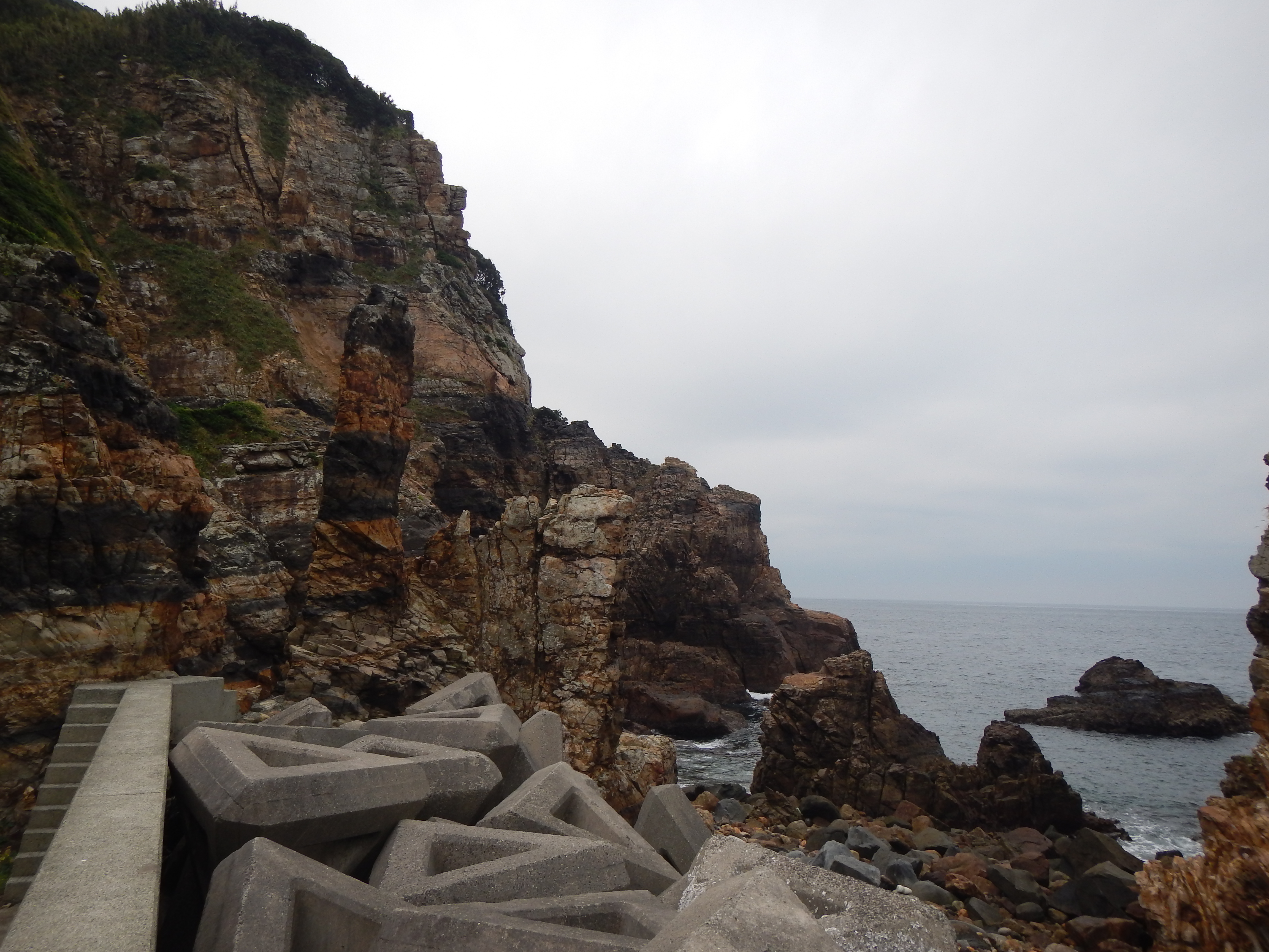
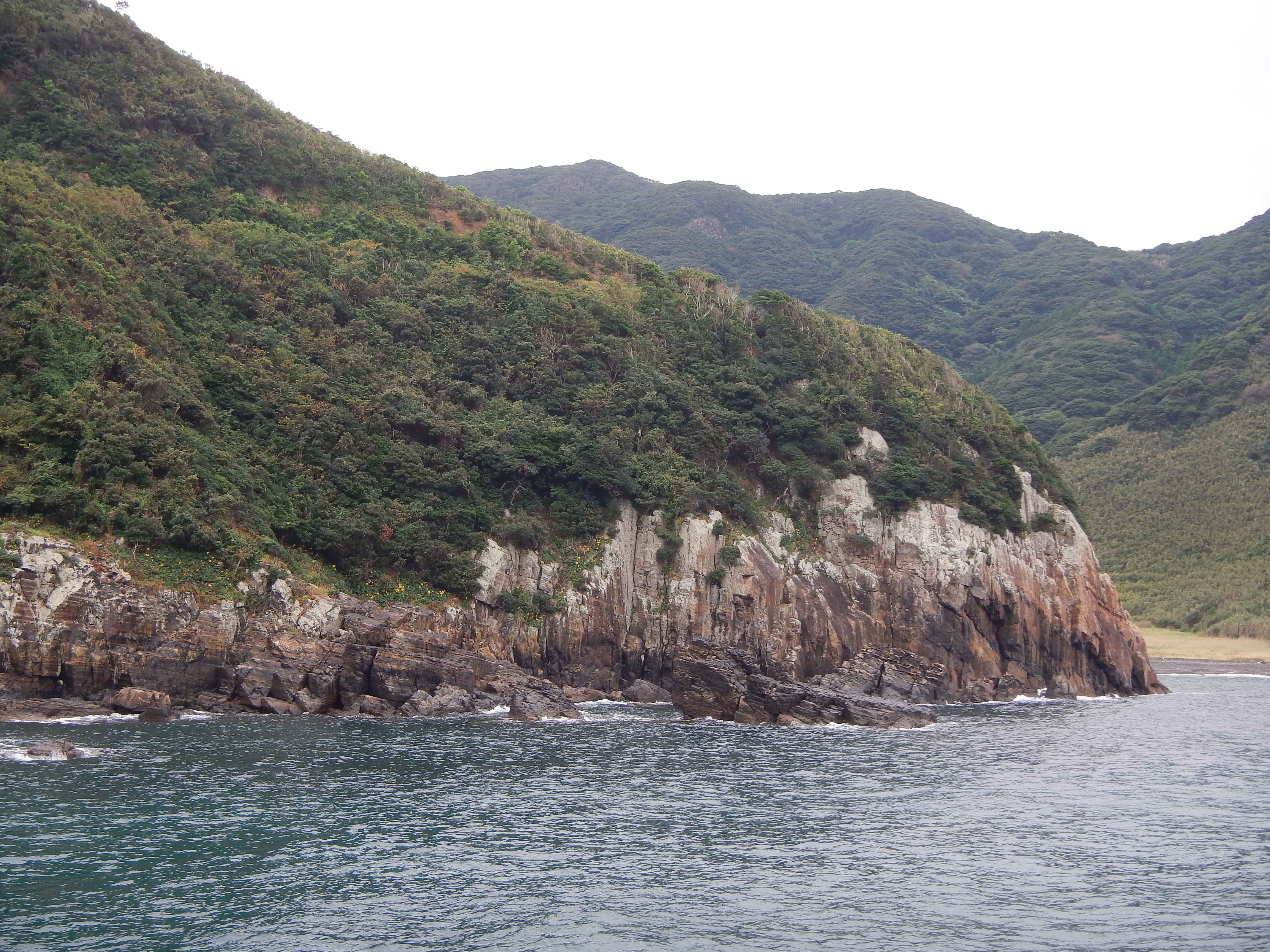
岸壁

手打の浜

瀬々野浦

手打港

手打港裏手の磯

手打地区の民家

バス停

手打の浜

手打の浜
Koshikijima Islands Japan
Koshikijima Islands Japan
Topographic Map of Shimokoshikichō Teuchi, Satsumasendai-shi, Kagoshima-ken -, Japan
Find elevation by address:

Places near Shimokoshikichō Teuchi, Satsumasendai-shi, Kagoshima-ken -, Japan:
Ichikikushikino
Kokurachō, Satsumasendai-shi, Kagoshima-ken -, Japan
Kanmyō, Ichikikushikino-shi, Kagoshima-ken -, Japan
Haru, Akune-shi, Kagoshima-ken -, Japan
Ōkawa, Akune-shi, Kagoshima-ken -, Japan
-43 Haru, Akune-shi, Kagoshima-ken -, Japan
-2 Nishime, Akune-shi, Kagoshima-ken -, Japan
Ōkawa, Akune-shi, Kagoshima-ken -, Japan
Akune
Satsumasendai
Bōnotsuchōtomari, Minamisatsuma-shi, Kagoshima-ken -, Japan
Kasedatōjinbara, Minamisatsuma-shi, Kagoshima-ken -, Japan
Yamashita, Akune-shi, Kagoshima-ken -, Japan
-15 Ushibukamachi, Amakusa-shi, Kumamoto-ken -, Japan
Akasegawa, Akune-shi, Kagoshima-ken -, Japan
-2 Wakimoto, Akune-shi, Kagoshima-ken -, Japan
24-15 Kasedajitōshochō, Minamisatsuma-shi, Kagoshima-ken -, Japan
Higashiichikichō Miyama, Hioki-shi, Kagoshima-ken -, Japan
Minamisatsuma
Tsurukawauchi, Akune-shi, Kagoshima-ken -, Japan
Recent Searches:
- Elevation of Beall Road, Beall Rd, Florida, USA
- Elevation of Leguwa, Nepal
- Elevation of County Rd, Enterprise, AL, USA
- Elevation of Kolchuginsky District, Vladimir Oblast, Russia
- Elevation of Shustino, Vladimir Oblast, Russia
- Elevation of Lampiasi St, Sarasota, FL, USA
- Elevation of Elwyn Dr, Roanoke Rapids, NC, USA
- Elevation of Congressional Dr, Stevensville, MD, USA
- Elevation of Bellview Rd, McLean, VA, USA
- Elevation of Stage Island Rd, Chatham, MA, USA