Elevation of Shida-28 Ono, Sōma-shi, Fukushima-ken -, Japan
Location: Japan > Fukushima Prefecture > Soma >
Longitude: 140.881687
Latitude: 37.7974887
Elevation: 80m / 262feet
Barometric Pressure: 100KPa
Elevation Map:
Satellite Map:
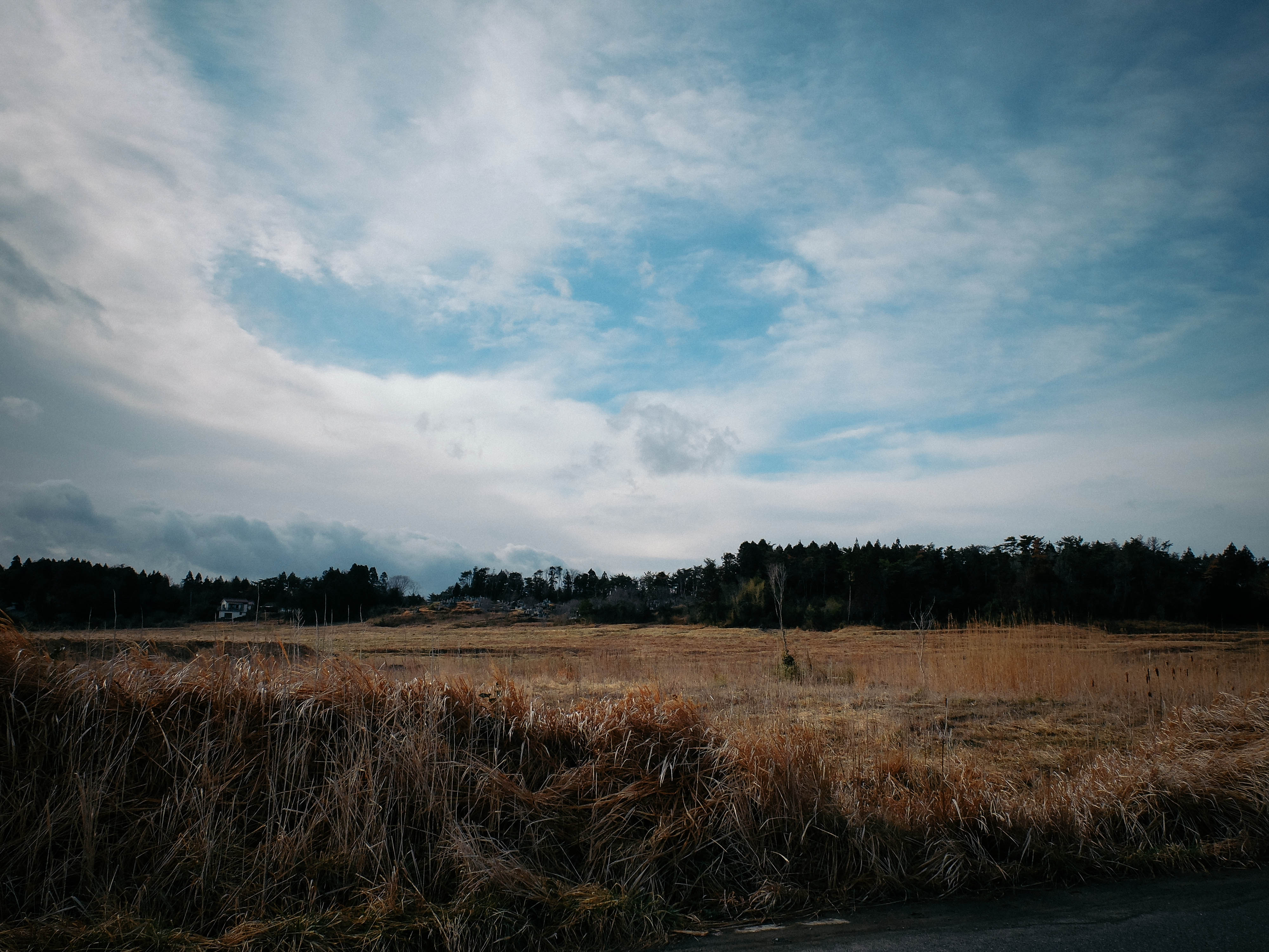
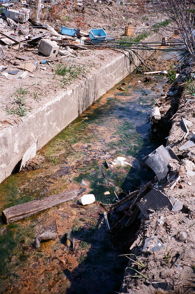
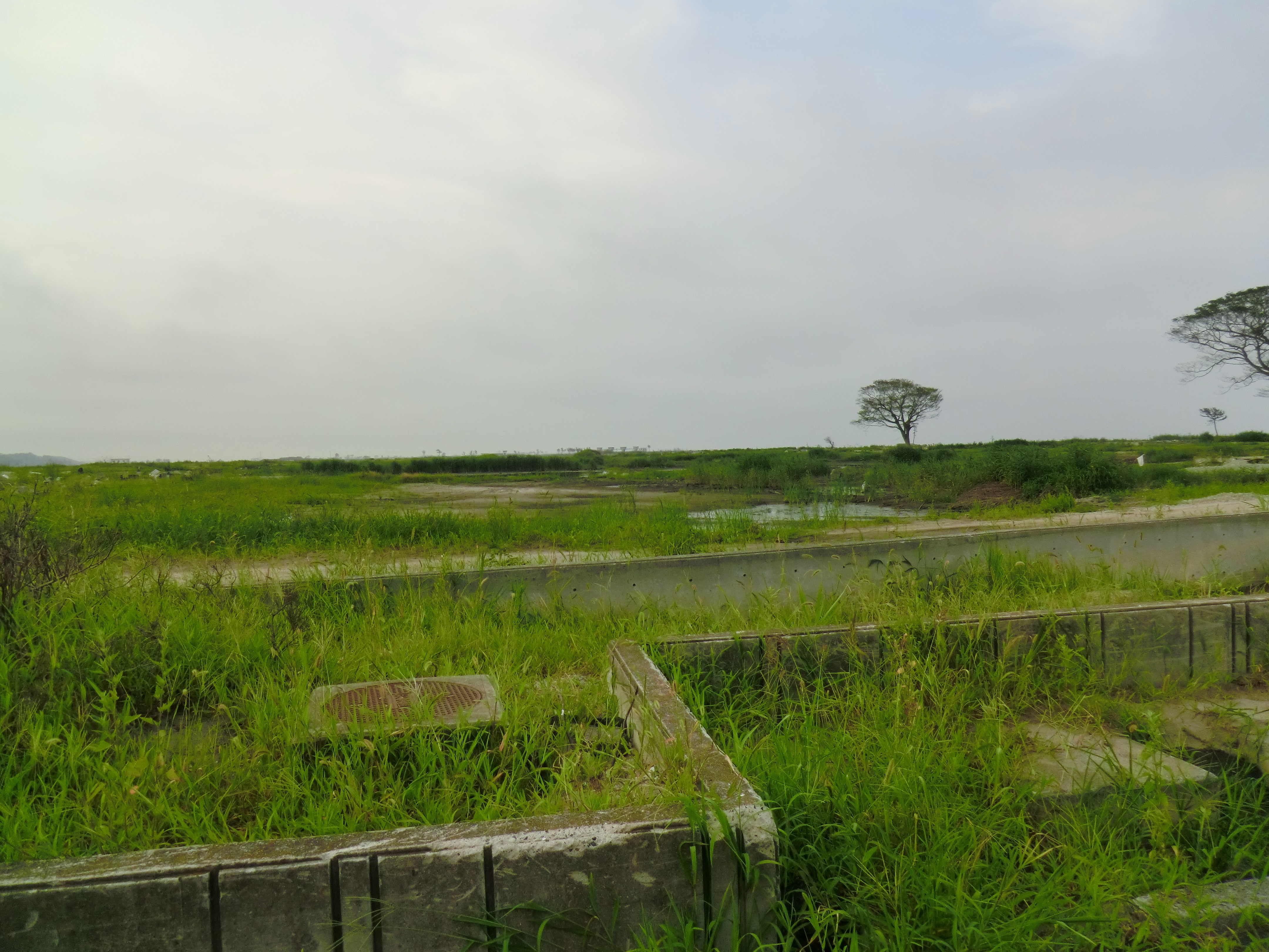
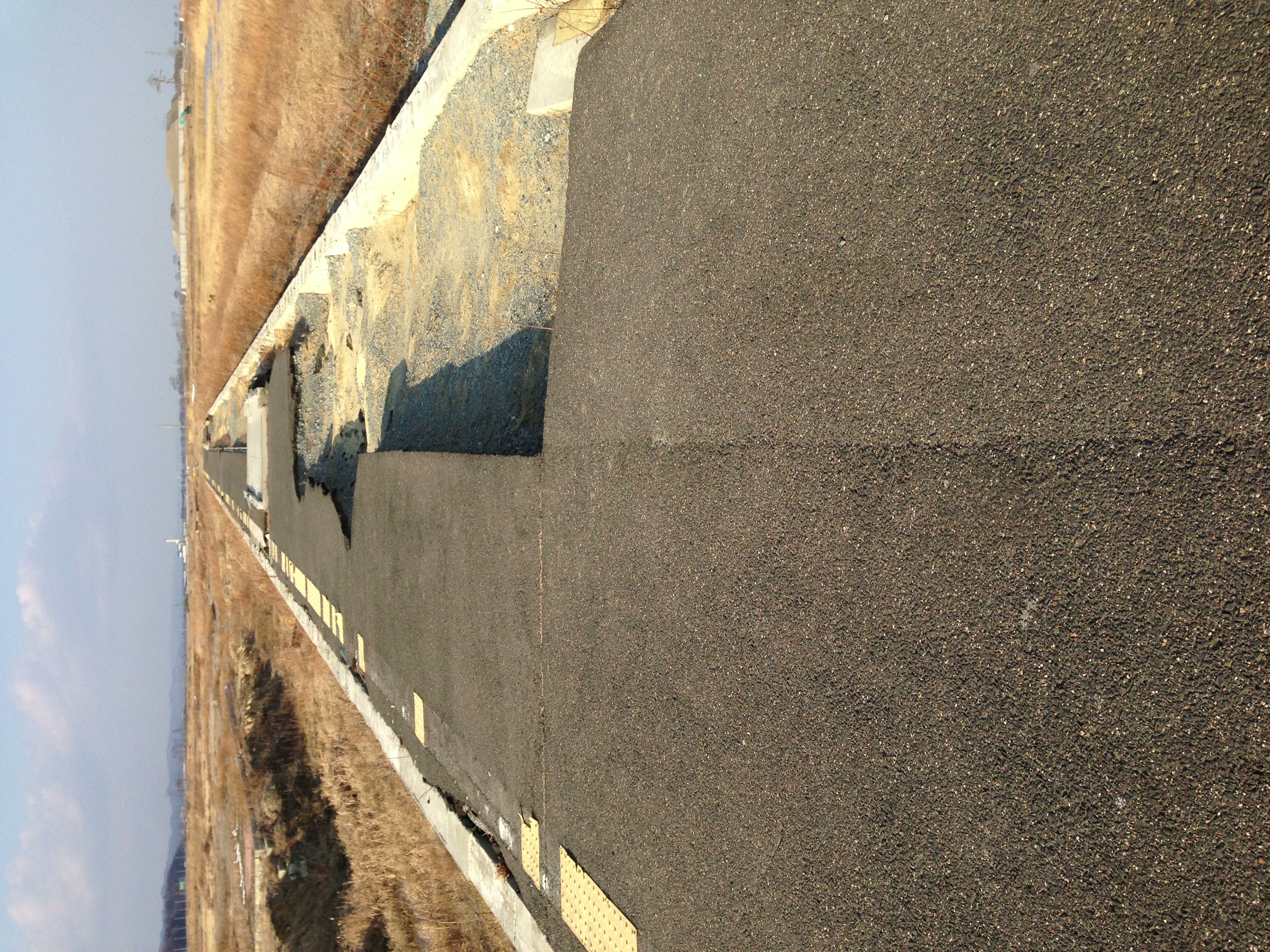
Related Photos:

Day 310/365

福島県 相馬市の海 震災前

2013/01/13 常磐線・坂元駅@宮城県山元町
05.25 福島県新地町 新地駅 #7
CIMG1185.JPG
2013/01/13 常磐線・坂元駅@宮城県山元町
05.25 福島県新地町 新地駅 #1

筆甫の棚田
CIMG1197.JPG

CIMG1213.JPG
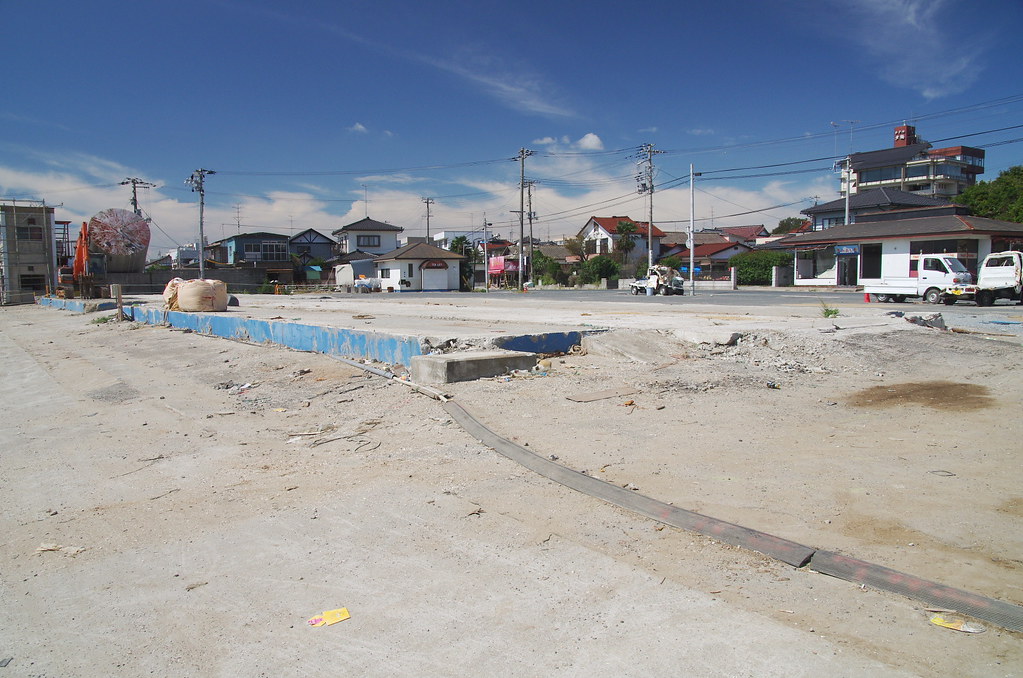
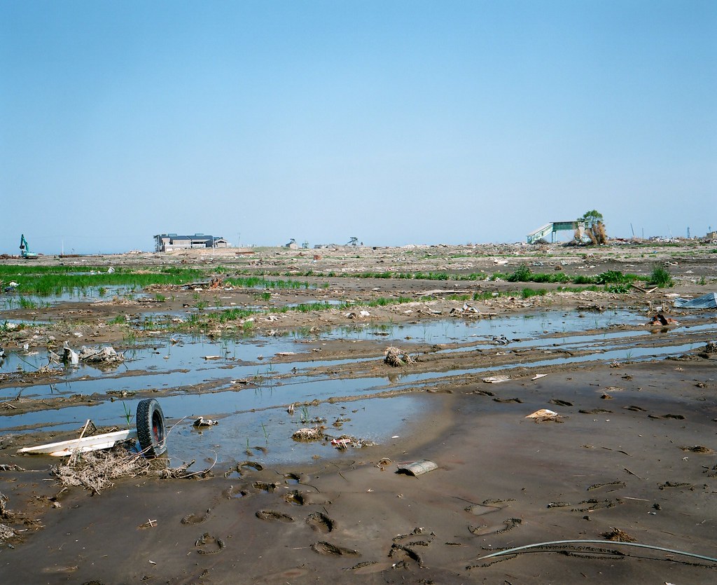
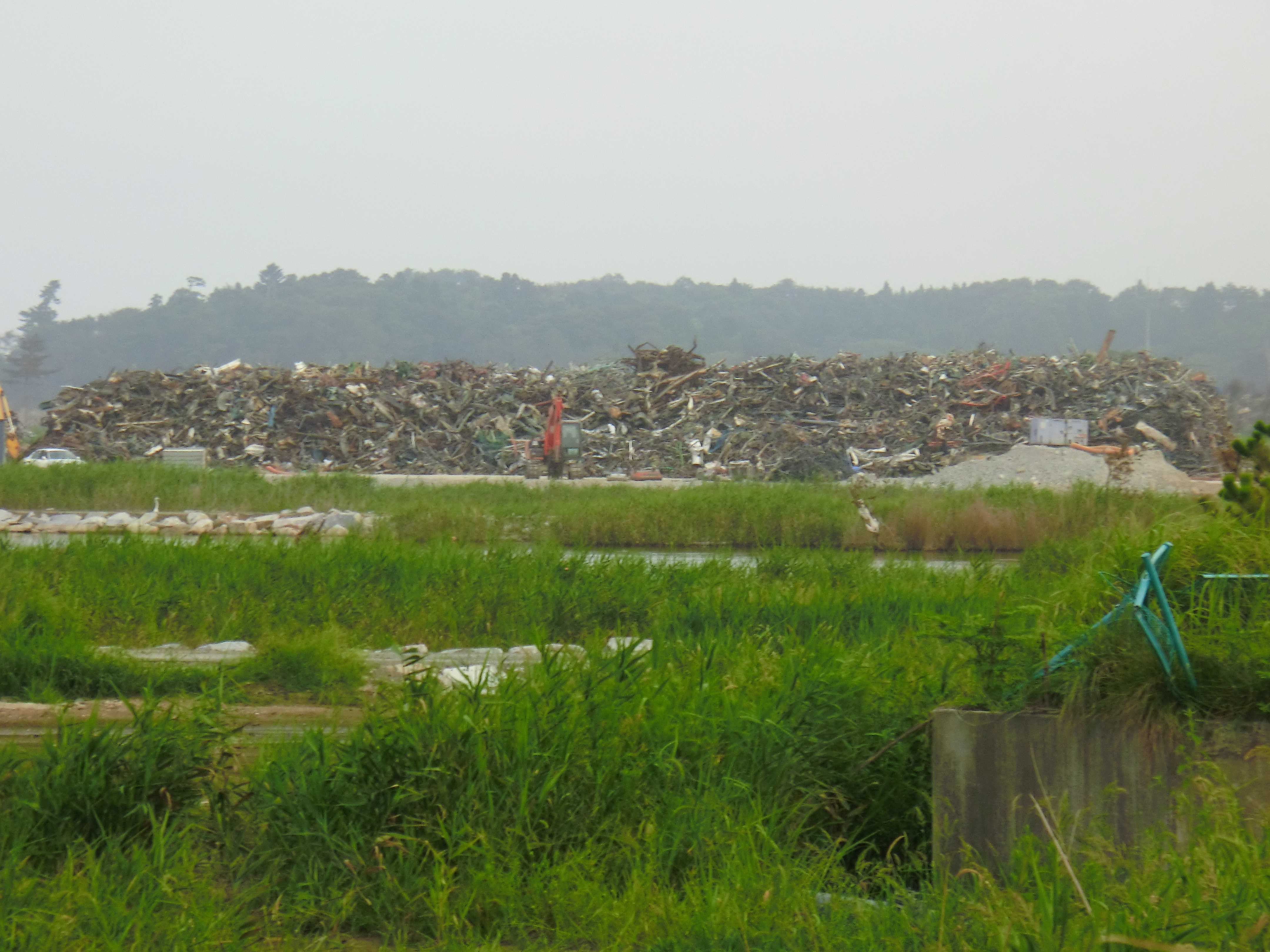
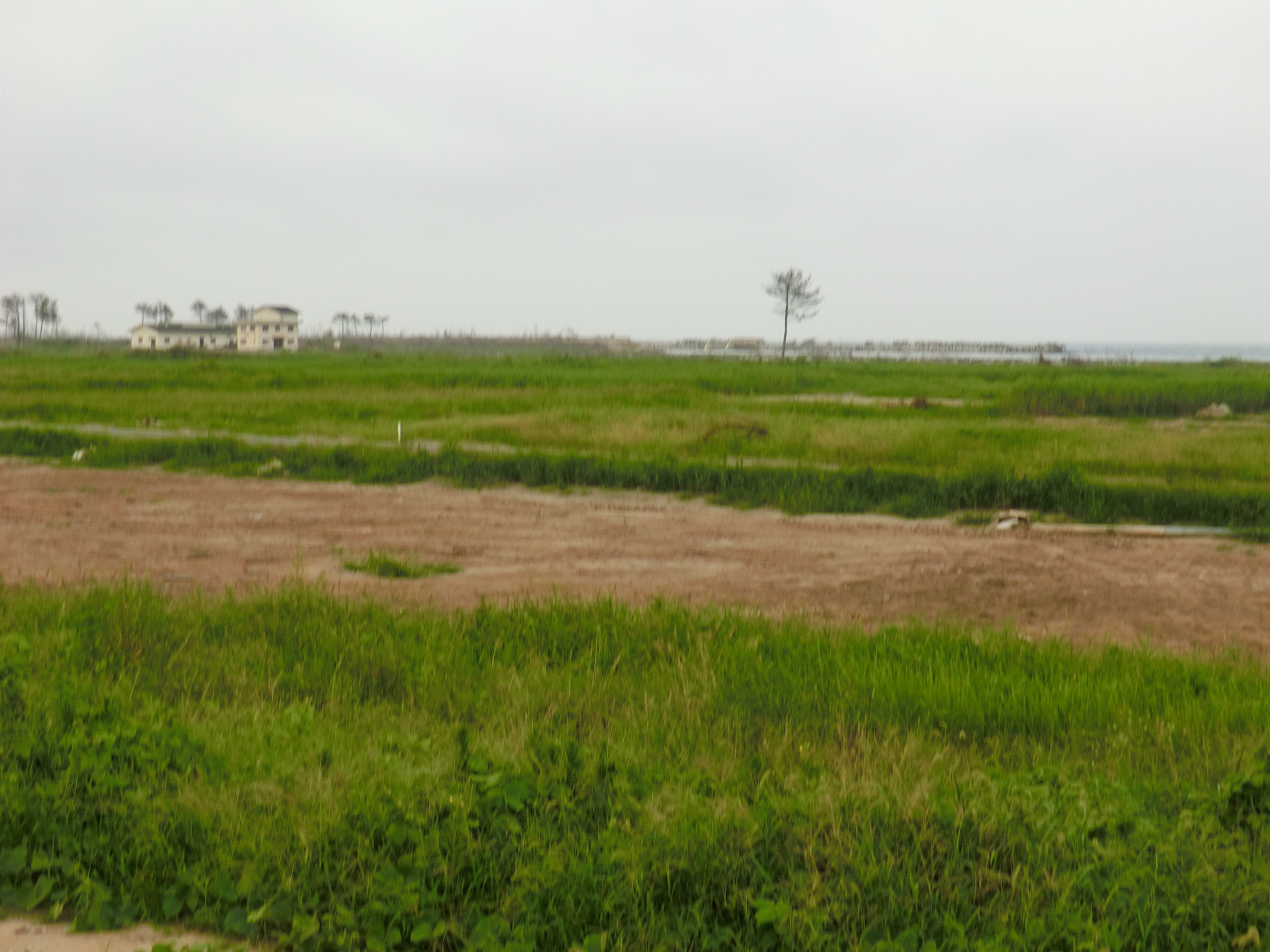
Damage of the tsunami in Sohma
CIMG1221.JPG

内川の渓谷
Topographic Map of Shida-28 Ono, Sōma-shi, Fukushima-ken -, Japan
Find elevation by address:

Places near Shida-28 Ono, Sōma-shi, Fukushima-ken -, Japan:
Asahimae-57 Kuroki, Sōma-shi, Fukushima-ken -, Japan
Hatagashira-37 Hatsuno, Sōma-shi, Fukushima-ken -, Japan
Futatsuike- Ishigami, Sōma-shi, Fukushima-ken -, Japan
Soma
1 Chome-1-13 Ōnodai, Sōma-shi, Fukushima-ken -, Japan
1 Chome-13-4 Kitaiibuchi, Sōma-shi, Fukushima-ken -, Japan
Kijikui-78-2 Komagamine, Shinchi-machi, Sōma-gun, Fukushima-ken -, Japan
Dannokoshi-75 Minamiiibuchi, Sōma-shi, Fukushima-ken -, Japan
3 Chome-3 Kōyō, Sōma-shi, Fukushima-ken -, Japan
Kanai-5 Suginome, Shinchi-machi, Sōma-gun, Fukushima-ken -, Japan
Shimoshibasaku- Wada, Sōma-shi, Fukushima-ken -, Japan
Shimizu- Suginome, Shinchi-machi, Sōma-gun, Fukushima-ken -, Japan
Kano- Imaizumi, Shinchi-machi, Sōma-gun, Fukushima-ken -, Japan
Suijin- Mayumi, Shinchi-machi, Sōma-gun, Fukushima-ken -, Japan
Shinchi
Sakuda-79 Rachikizaki, Shinchi-machi, Sōma-gun, Fukushima-ken -, Japan
Igu District
Myōhigashi-75-7 Maniwa
Myohigashi Maniwa
Kawashimoni-26 Hippo, Marumori-machi, Igu-gun, Miyagi-ken -, Japan
Recent Searches:
- Elevation of Congressional Dr, Stevensville, MD, USA
- Elevation of Bellview Rd, McLean, VA, USA
- Elevation of Stage Island Rd, Chatham, MA, USA
- Elevation of Shibuya Scramble Crossing, 21 Udagawacho, Shibuya City, Tokyo -, Japan
- Elevation of Jadagoniai, Kaunas District Municipality, Lithuania
- Elevation of Pagonija rock, Kranto 7-oji g. 8"N, Kaunas, Lithuania
- Elevation of Co Rd 87, Jamestown, CO, USA
- Elevation of Tenjo, Cundinamarca, Colombia
- Elevation of Côte-des-Neiges, Montreal, QC H4A 3J6, Canada
- Elevation of Bobcat Dr, Helena, MT, USA