Elevation of Shetland Trail, Dale, TX, USA
Location: United States > Texas > Caldwell County > Dale >
Longitude: -97.542088
Latitude: 29.9026545
Elevation: 157m / 515feet
Barometric Pressure: 99KPa
Elevation Map:
Satellite Map:
Related Photos:

Caldwell County Courthouse

Caldwell County Courthouse

A more spread-out view of the meats

The Jewel of Lockhart

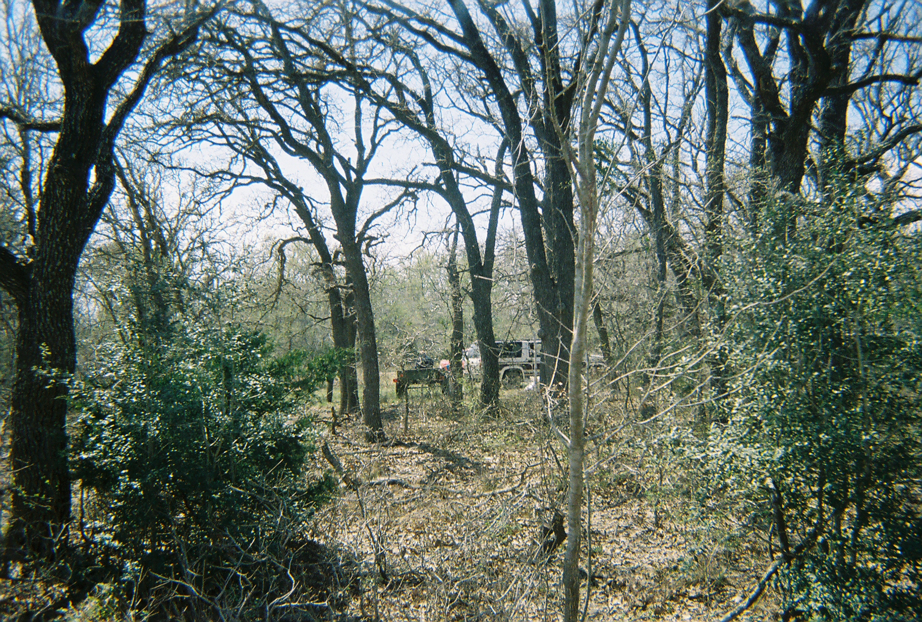
Chisholm Trail

The view from the balcony
Rusty, Leaning Fence Friday
Caldwell County Courthouse
Plum Creek Bridge
Loxkhart_SP-1051

Showdown @ Unobtainium

Small pond on #8 at Lockhart State Park.

White Horses

Libellula croceipennis

Man Made

Hiking / Climbing
2007Excal-12
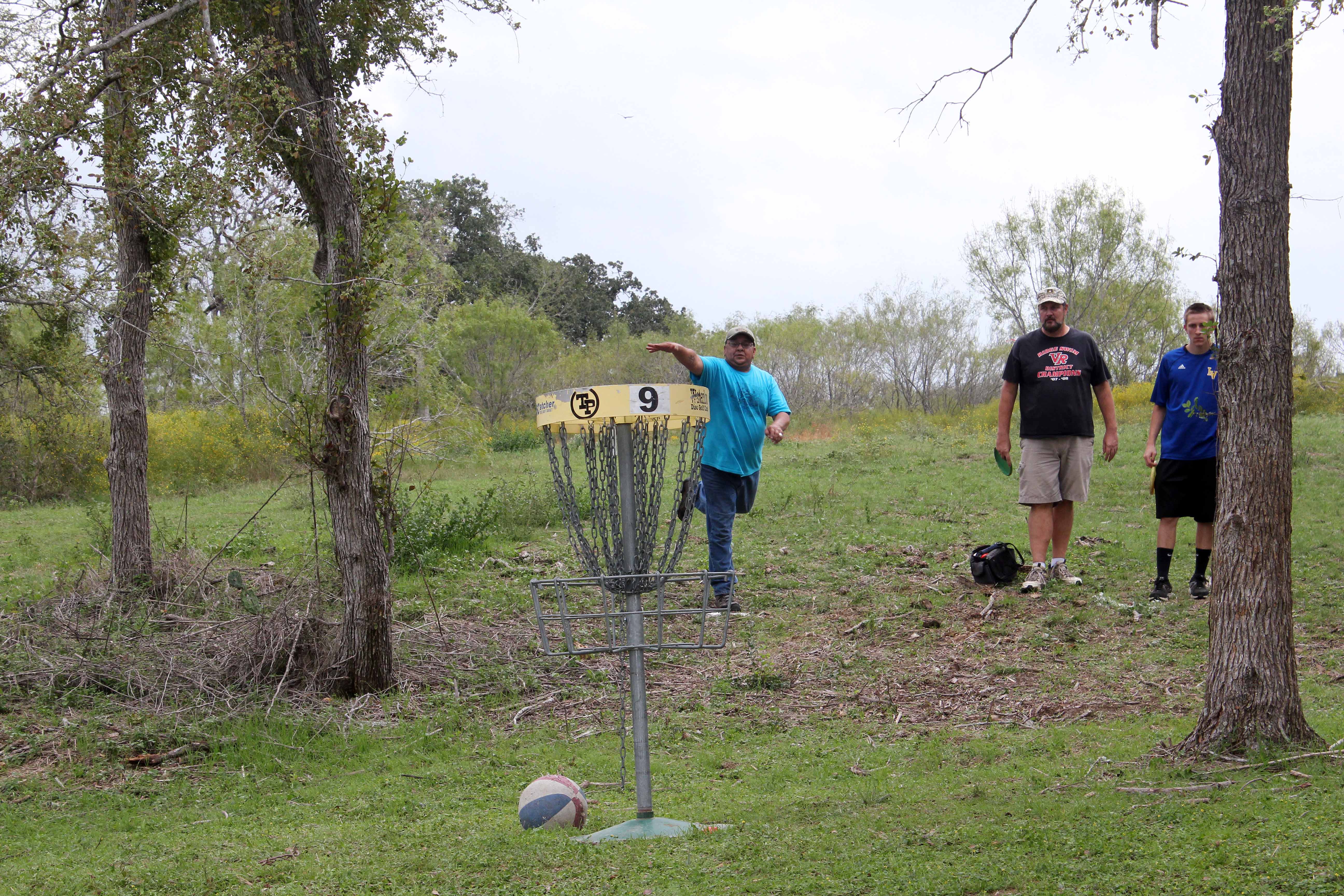
IMG_2920 - Ring of Fire Putting Games

2014-05-08 20.01.49

Old Red Rock Cemetery

Libellula croceipennis
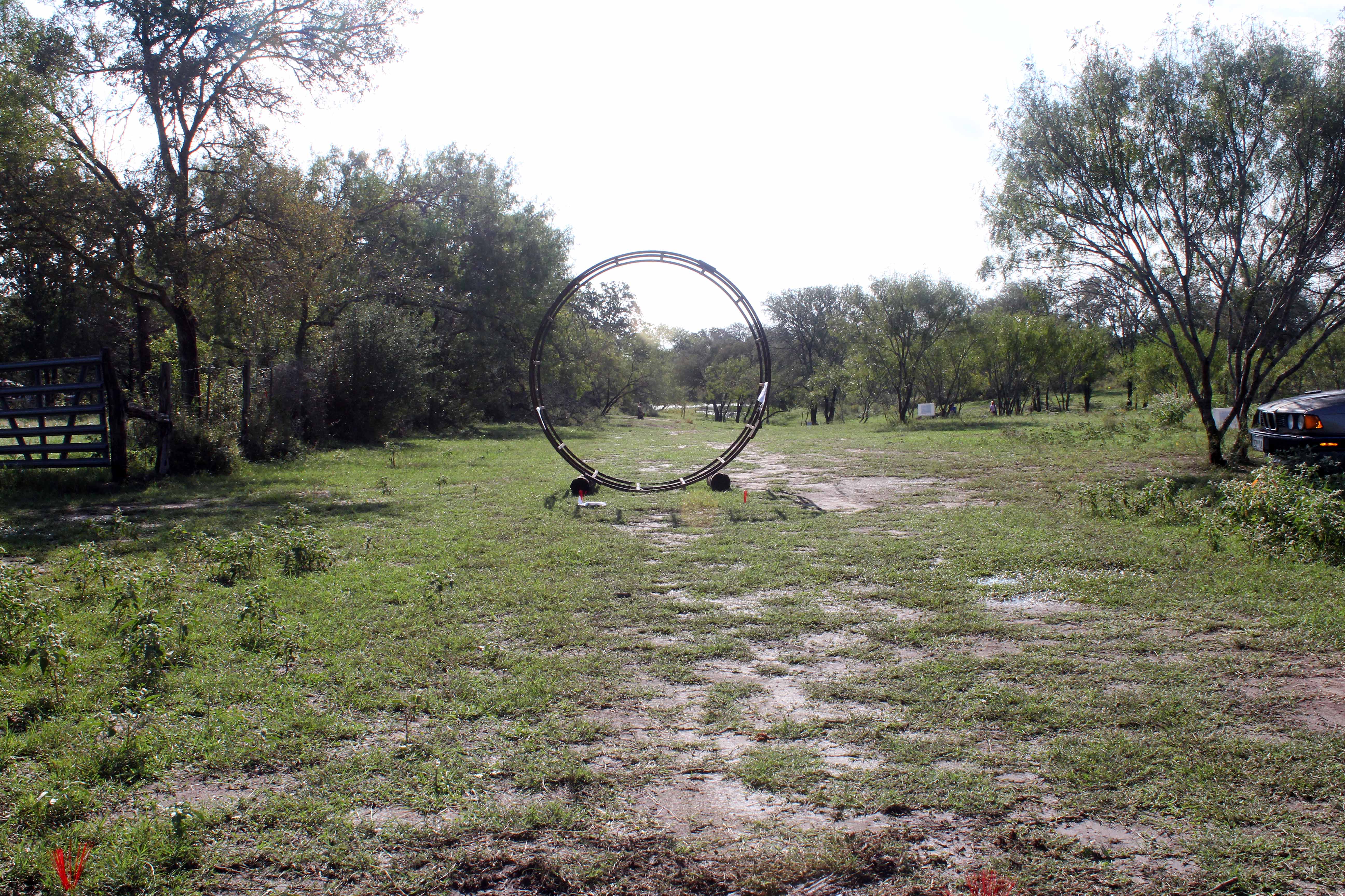
IMG_3022 - Hole #7 "Stargate"
Topographic Map of Shetland Trail, Dale, TX, USA
Find elevation by address:

Places near Shetland Trail, Dale, TX, USA:
Clydesdale Drive
Dale
Main St, Dale, TX, USA
Taylorsville Rd, Dale, TX, USA
Mcmahan
3795 Dry Creek Rd
3795 Dry Creek Rd
Red Rock
4230 Barth Rd
48 County Line Rd, Dale, TX, USA
131 Live Oak Dr
955 Co Rd 250
Caldwell County
Lockhart
122 N Nueces St
550 Rolling Oaks Dr
1198 Walter Hoffman Rd
101 Oak Arbor Trail
771 Wolf Run Rd
Cedar Creek
Recent Searches:
- Elevation of Rojo Ct, Atascadero, CA, USA
- Elevation of Flagstaff Drive, Flagstaff Dr, North Carolina, USA
- Elevation of Avery Ln, Lakeland, FL, USA
- Elevation of Woolwine, VA, USA
- Elevation of Lumagwas Diversified Farmers Multi-Purpose Cooperative, Lumagwas, Adtuyon, RV32+MH7, Pangantucan, Bukidnon, Philippines
- Elevation of Homestead Ridge, New Braunfels, TX, USA
- Elevation of Orchard Road, Orchard Rd, Marlborough, NY, USA
- Elevation of 12 Hutchinson Woods Dr, Fletcher, NC, USA
- Elevation of Holloway Ave, San Francisco, CA, USA
- Elevation of Norfolk, NY, USA