Elevation of Sherwood Dr, Conway, SC, USA
Location: United States > South Carolina > Horry County > Conway >
Longitude: -79.043867
Latitude: 33.8539539
Elevation: 6m / 20feet
Barometric Pressure: 101KPa
Elevation Map:
Satellite Map:
Related Photos:

DSC_5172 (Copy)

P1070006.jpg

LK_20141112_0024-Edit

P1080871.jpg

D800E-4010-Edit

D800E-4057-Edit
D800E-4034-Edit

D800E-4016-Edit

Sunset at tail end of storm.

P1130036.jpg

D800E-4063-Edit

D800E-4037-Edit
P1070015.jpg

D800E-4014-Edit
River Walk
D800E-4031

D800E-4043-Edit
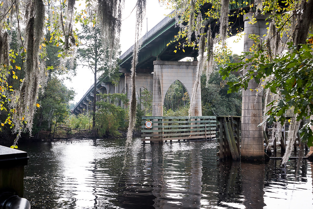
D800E-4036-Edit

D800E-4059-Edit

D800E-4011-Edit
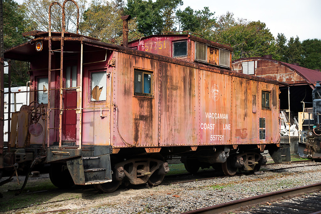
D800E-4047-Edit
Topographic Map of Sherwood Dr, Conway, SC, USA
Find elevation by address:

Places near Sherwood Dr, Conway, SC, USA:
205 Sherwood Dr
Busbee Street
207 Busbee St
1505 Lakeland Dr
1214 Lakeland Dr
152 Sherwood Dr
210 Magrath Ave
209 Long Ave
Lakeland Drive
198 Long Ave
Long Avenue
220 Sherwood Dr
203 Jessamine St
222 Sherwood Dr
304 Magrath Ave
135 Sherwood Dr
1600 Sherwood Dr
Crabtree Swamp Walking Trail
1603 Mcdermott St
1605 Mcdermott St
Recent Searches:
- Elevation of Fern Rd, Whitmore, CA, USA
- Elevation of 62 Abbey St, Marshfield, MA, USA
- Elevation of Fernwood, Bradenton, FL, USA
- Elevation of Felindre, Swansea SA5 7LU, UK
- Elevation of Leyte Industrial Development Estate, Isabel, Leyte, Philippines
- Elevation of W Granada St, Tampa, FL, USA
- Elevation of Pykes Down, Ivybridge PL21 0BY, UK
- Elevation of Jalan Senandin, Lutong, Miri, Sarawak, Malaysia
- Elevation of Bilohirs'k
- Elevation of 30 Oak Lawn Dr, Barkhamsted, CT, USA