Elevation of Shelter Point Rd, Gillies Bay, BC V0N 1W0, Canada
Location: Canada > British Columbia > Powell River > Powell River D > Van Anda >
Longitude: -124.41976
Latitude: 49.6604218
Elevation: 169m / 554feet
Barometric Pressure: 99KPa
Elevation Map:
Satellite Map:
Related Photos:
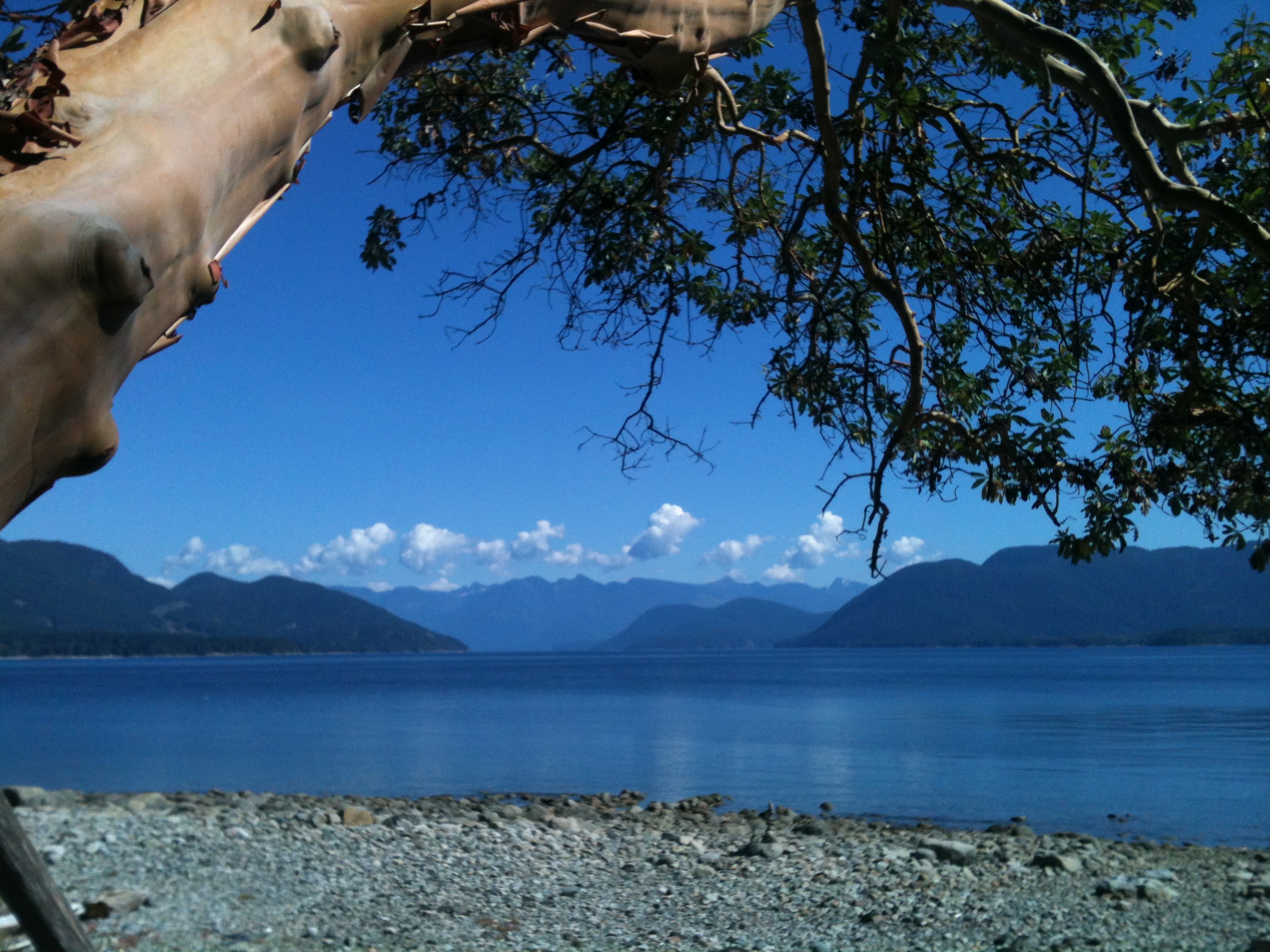
View from the cabin
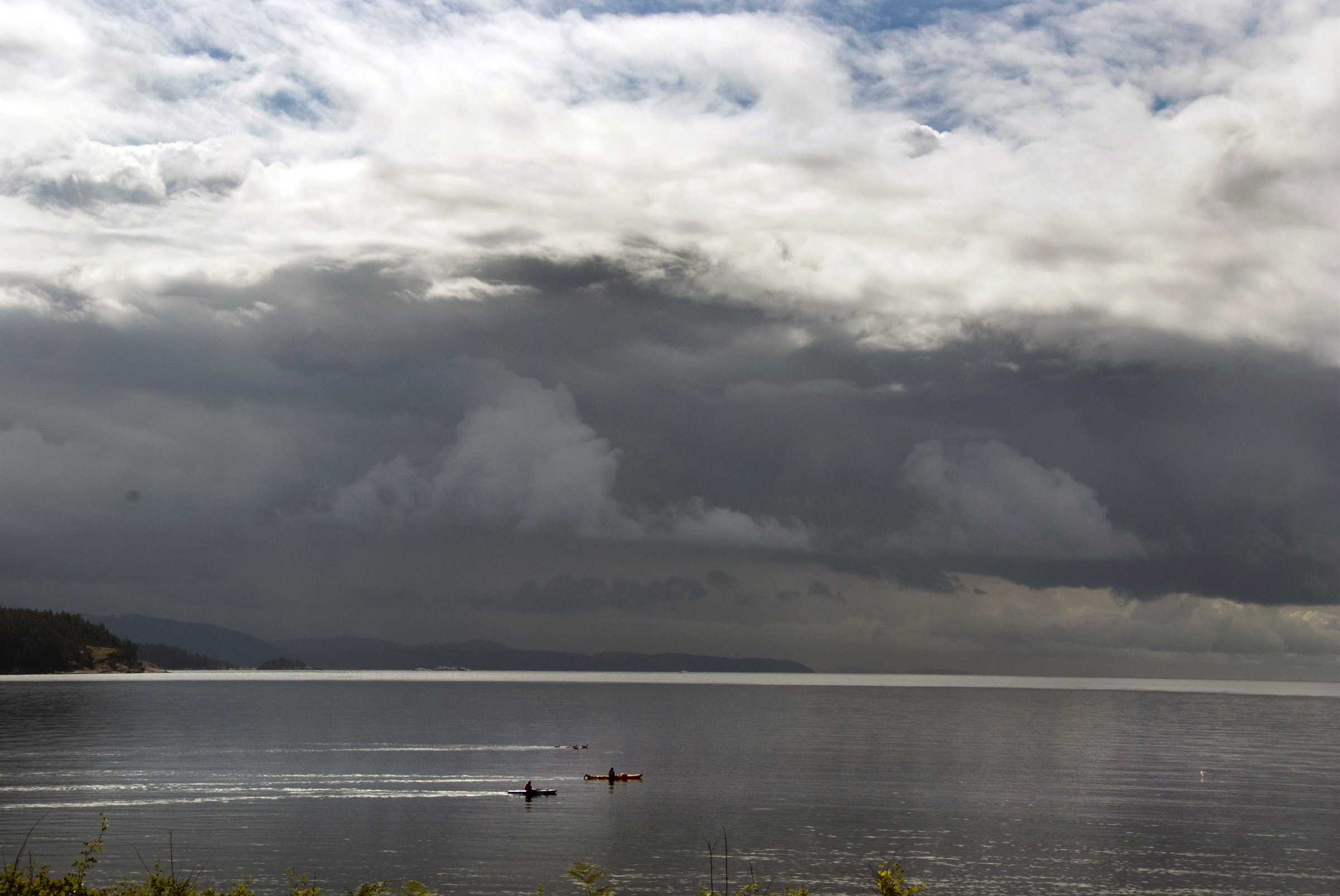
big morning
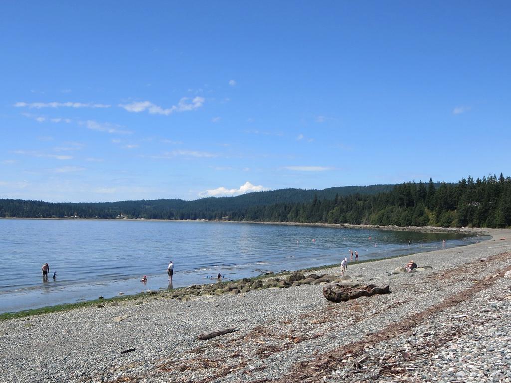
Shelter Point Park

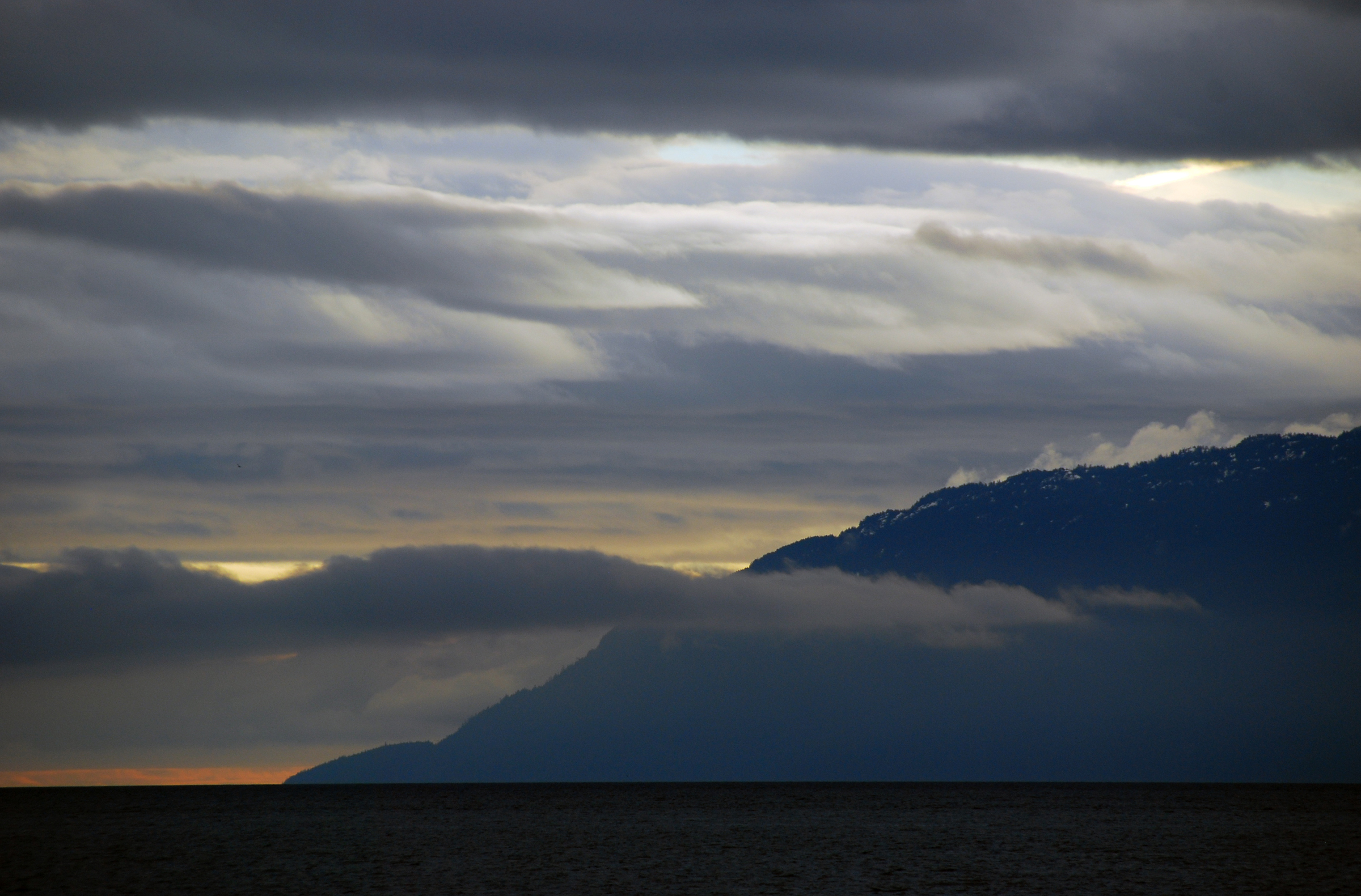
Sunshine Coast
slow morning
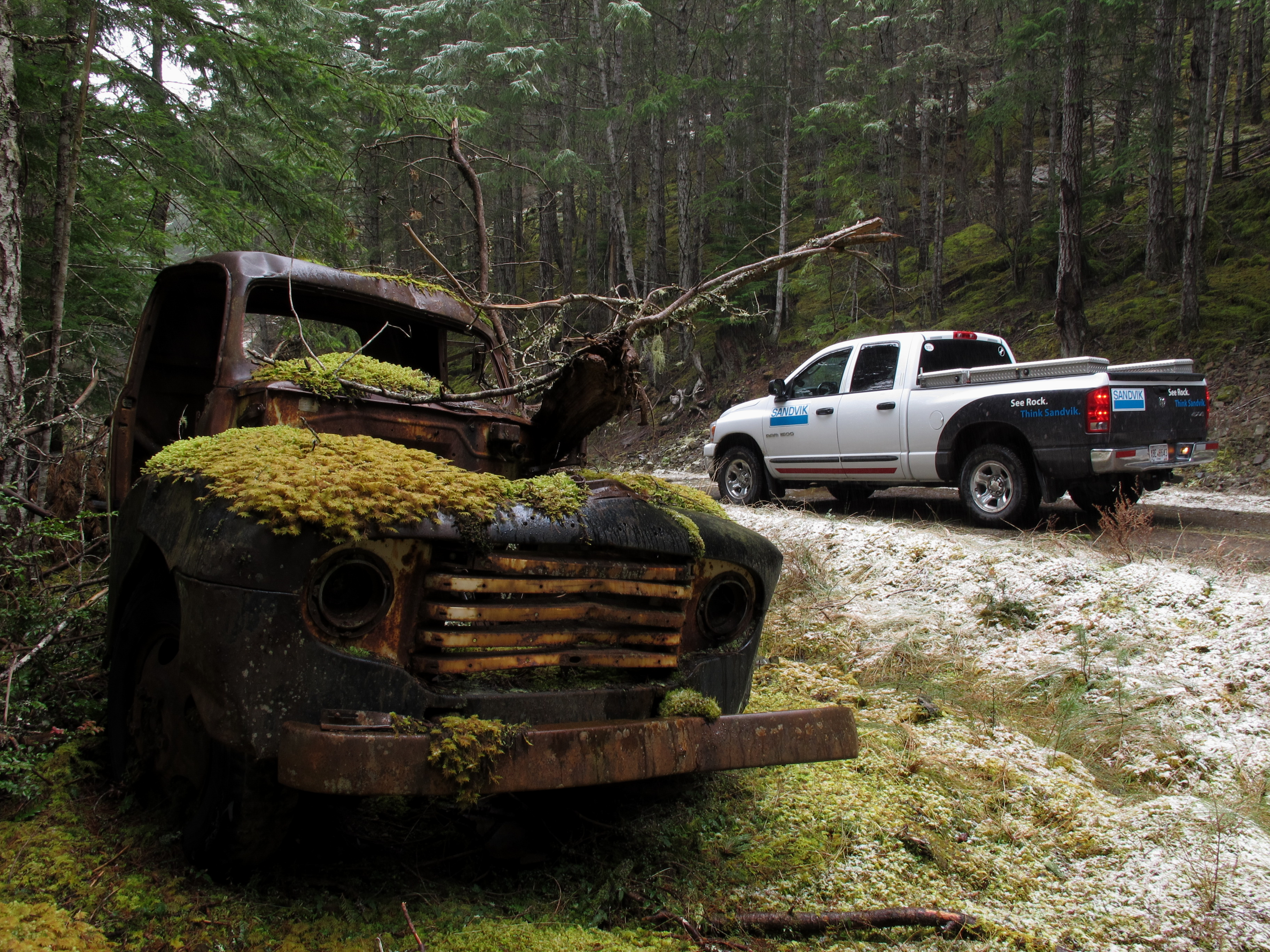
Texada Island - Abandoned Truck

Sunshine Coast
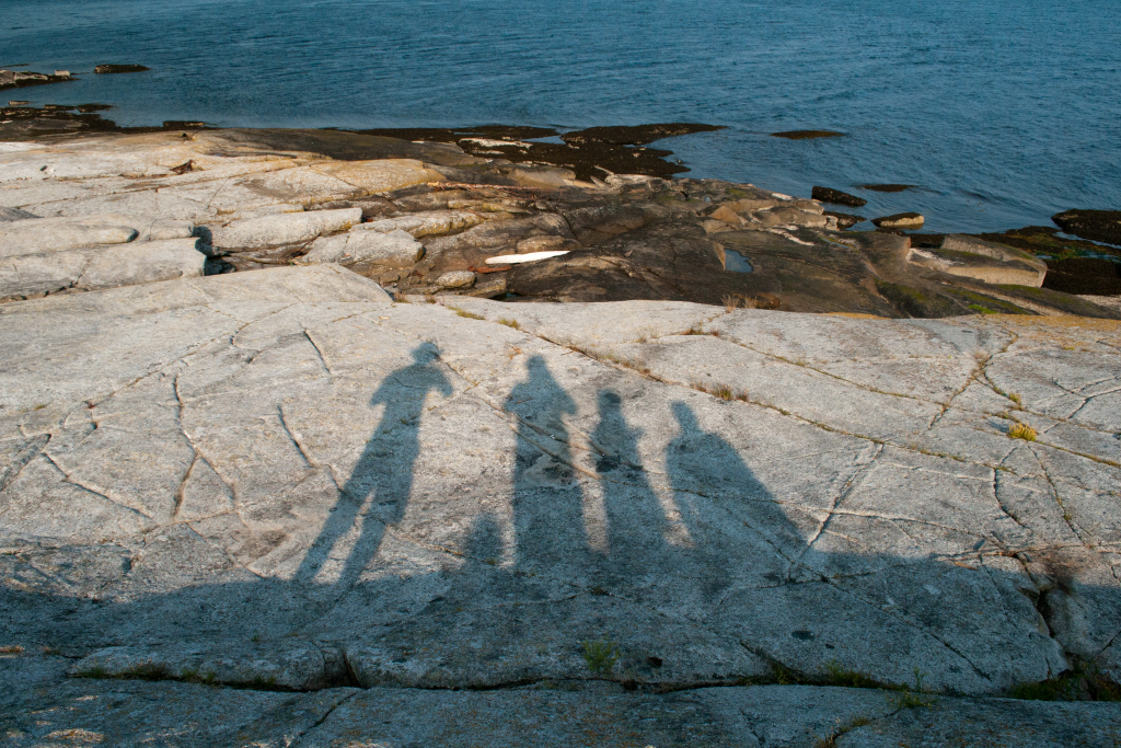
Reflecting on our Sunshine Coast Trip
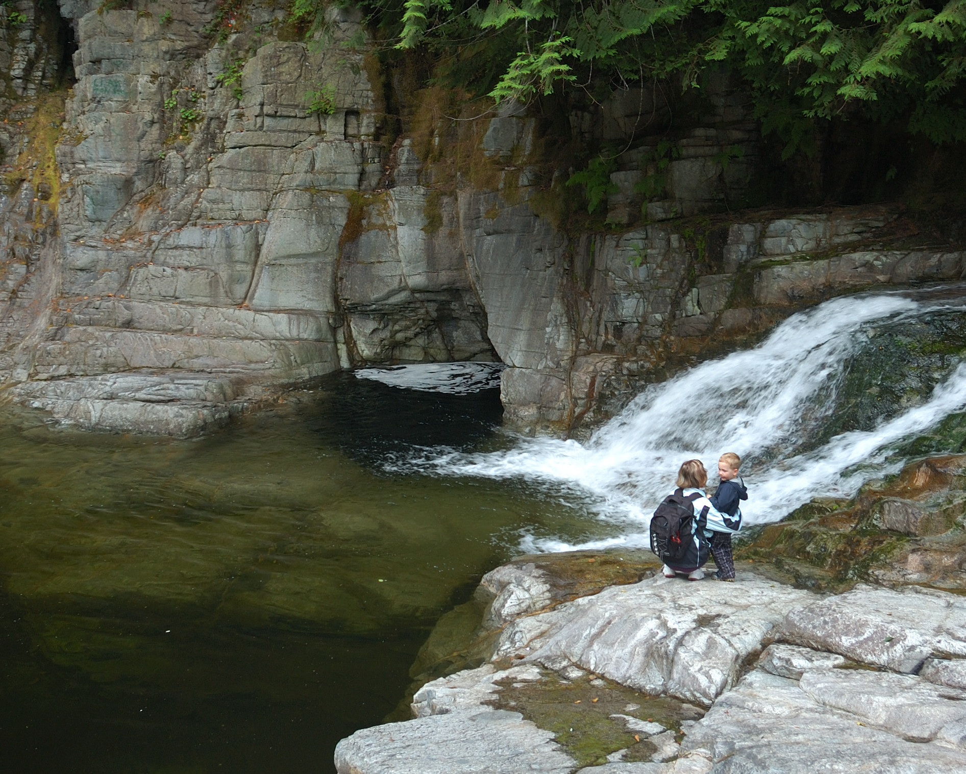
The Lois river
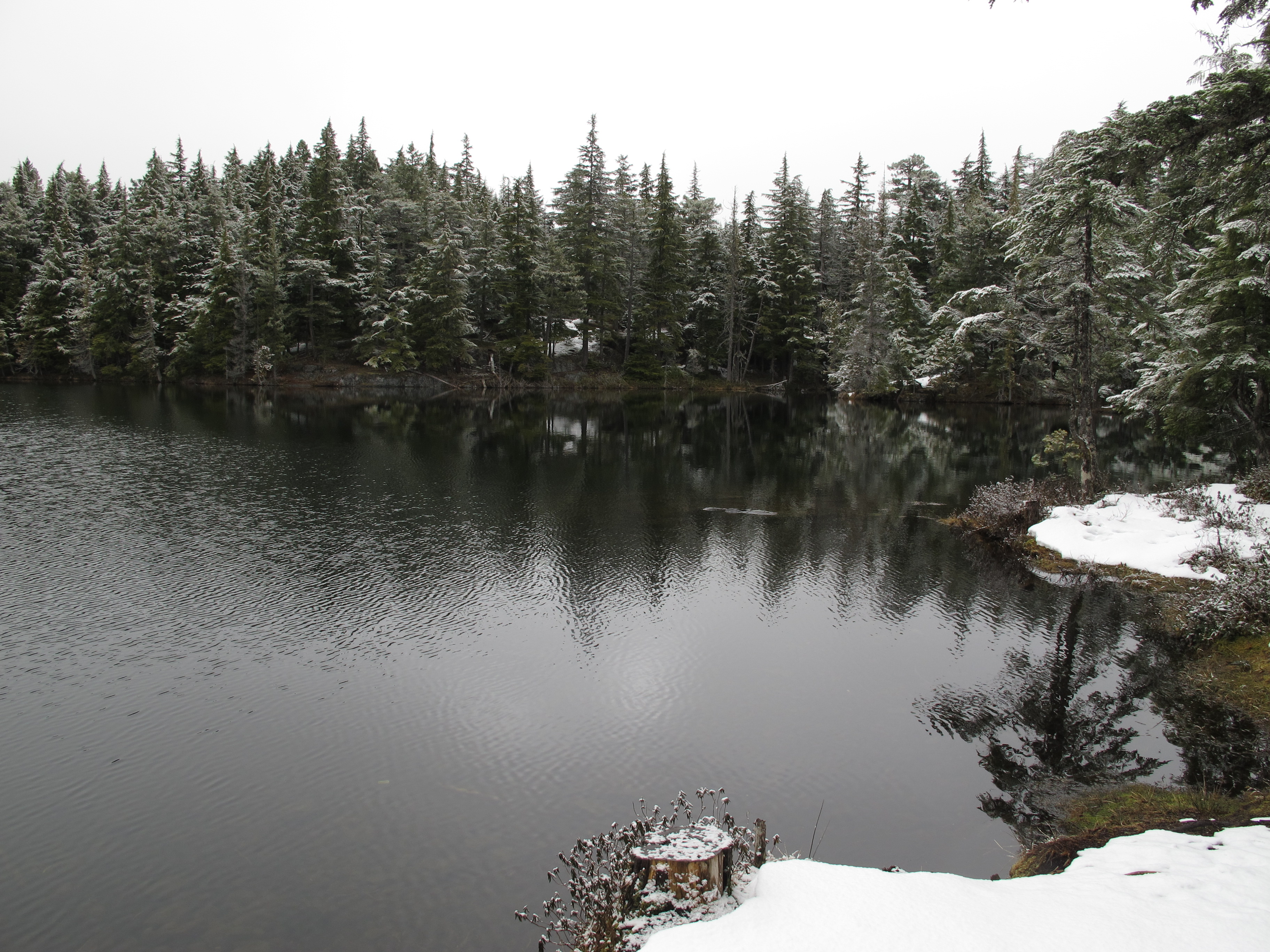
Texada Island - Bob's Lake

20150618-123900

20150618-125556
Topographic Map of Shelter Point Rd, Gillies Bay, BC V0N 1W0, Canada
Find elevation by address:

Places near Shelter Point Rd, Gillies Bay, BC V0N 1W0, Canada:
6871 Shelter Point Rd
Texada Island
Gillies Bay
4488 Sanderson Rd
Powell River D
Woodlyn Road
Black Point Store (1981) Ltd
3616 Padgett Rd
Van Anda
Conn Road
Nicholas Avenue
3480 Tweedsmuir Ave
3484 Tweedsmuir Ave
3615 Bc-101
3615 Bc-101
Spectacle Lake
7060 Lytton St
7550 Duncan St
Powell River
Walmart Powell River Store
Recent Searches:
- Elevation of Royal Ontario Museum, Queens Park, Toronto, ON M5S 2C6, Canada
- Elevation of Groblershoop, South Africa
- Elevation of Power Generation Enterprises | Industrial Diesel Generators, Oak Ave, Canyon Country, CA, USA
- Elevation of Chesaw Rd, Oroville, WA, USA
- Elevation of N, Mt Pleasant, UT, USA
- Elevation of 6 Rue Jules Ferry, Beausoleil, France
- Elevation of Sattva Horizon, 4JC6+G9P, Vinayak Nagar, Kattigenahalli, Bengaluru, Karnataka, India
- Elevation of Great Brook Sports, Gold Star Hwy, Groton, CT, USA
- Elevation of 10 Mountain Laurels Dr, Nashua, NH, USA
- Elevation of 16 Gilboa Ln, Nashua, NH, USA