Elevation of Sheeprock, Colorado, USA
Location: United States > Colorado > Jefferson County >
Longitude: -105.33053
Latitude: 39.1886227
Elevation: 2523m / 8278feet
Barometric Pressure: 74KPa
Elevation Map:
Satellite Map:
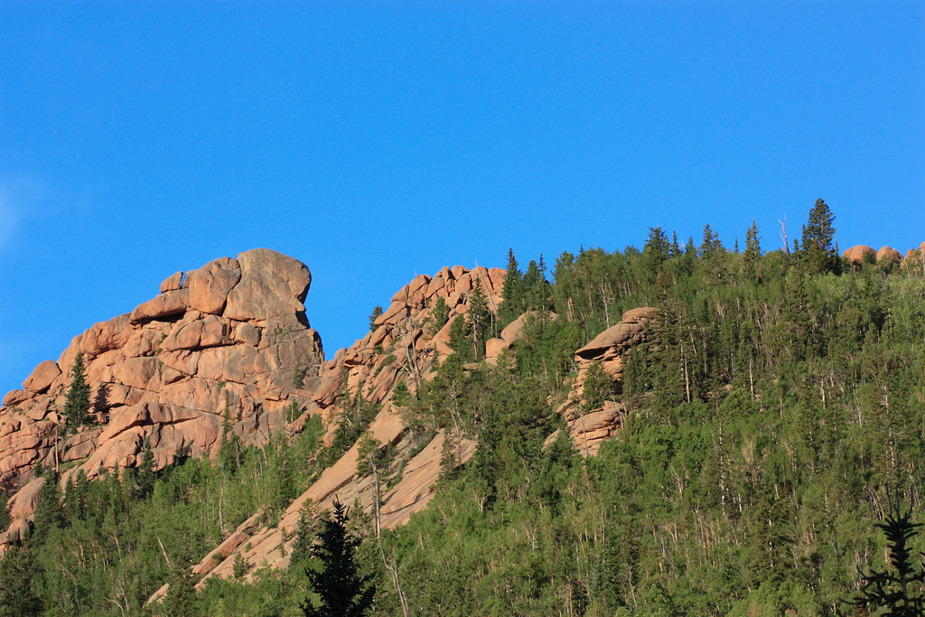
Related Photos:

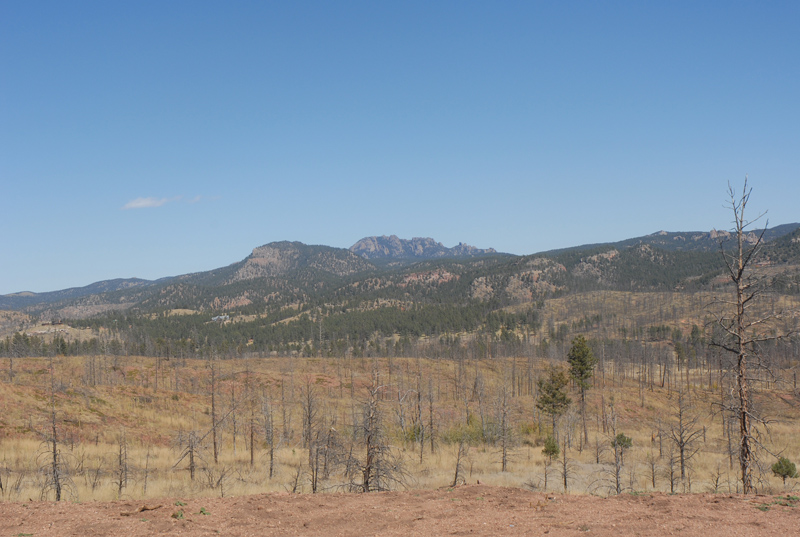
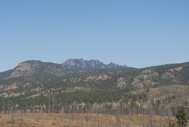
Sun Sets Over The Blasted Lands
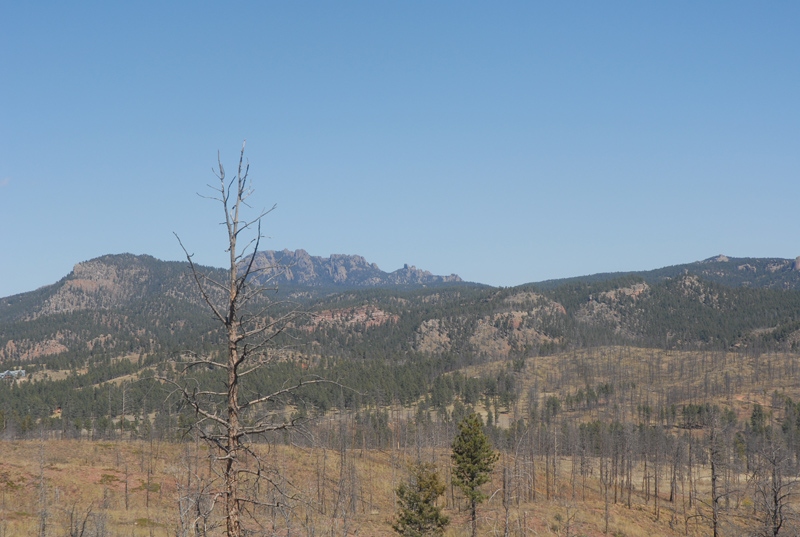
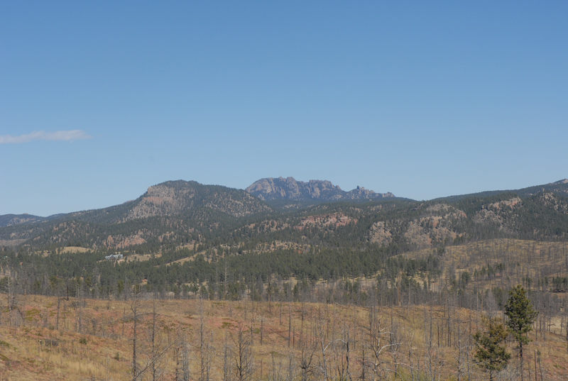
Campsite View
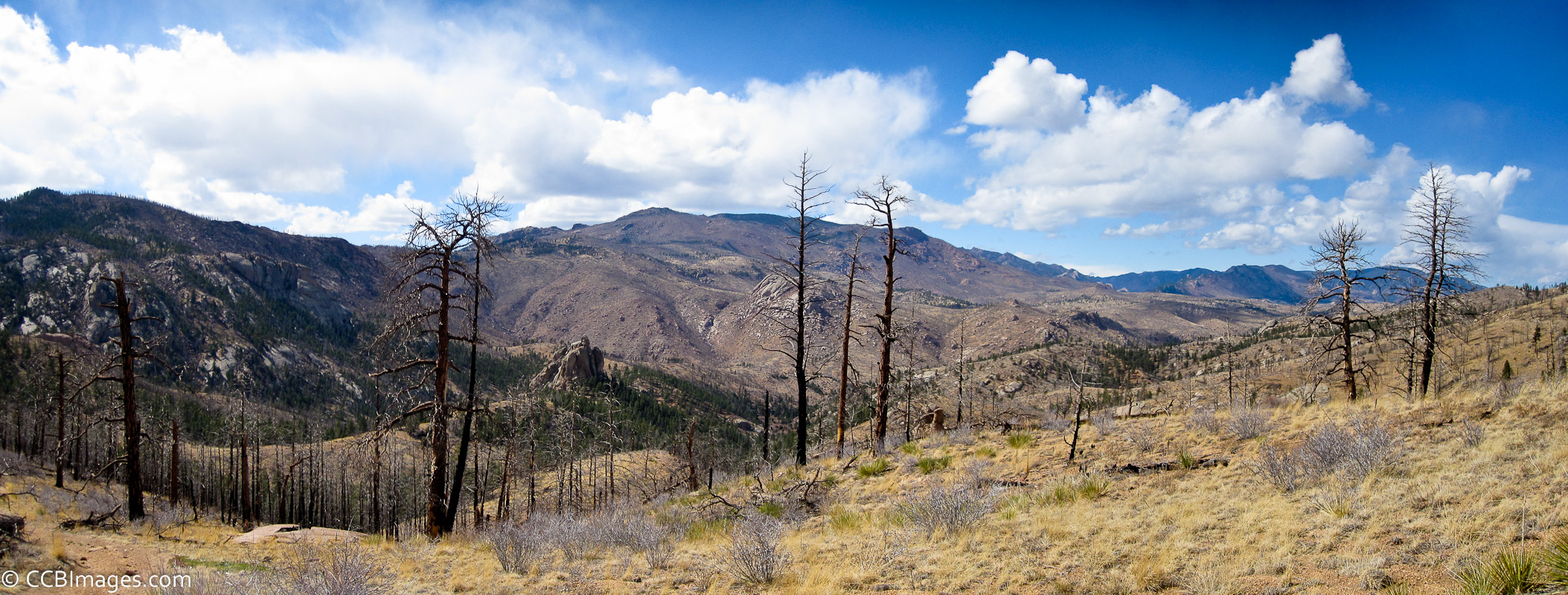
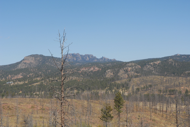
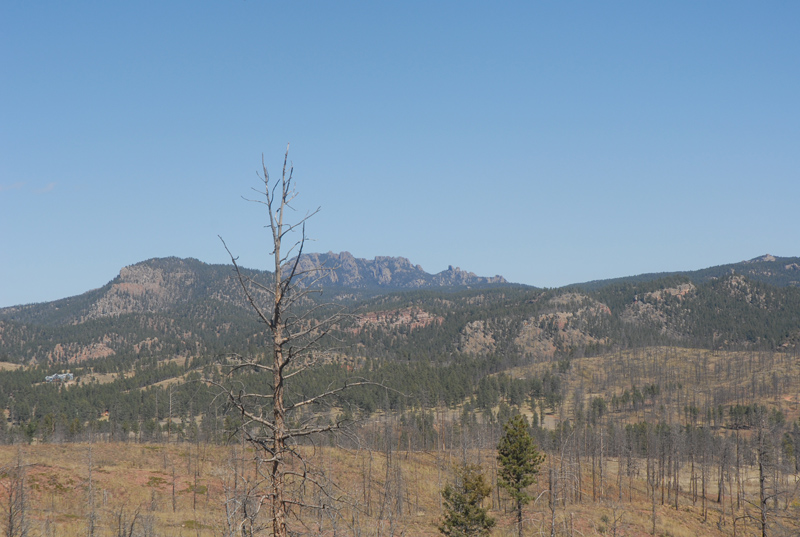
The View
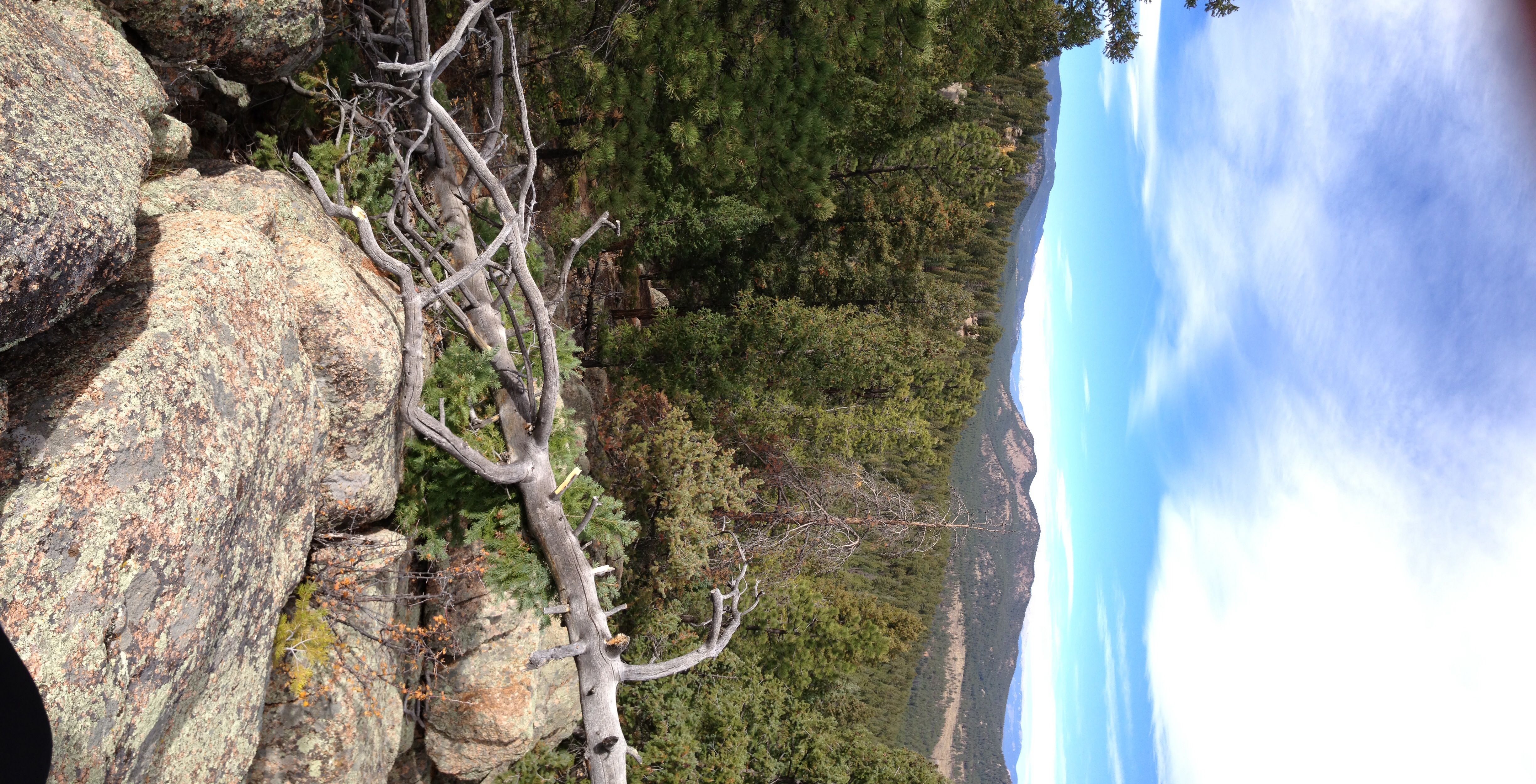
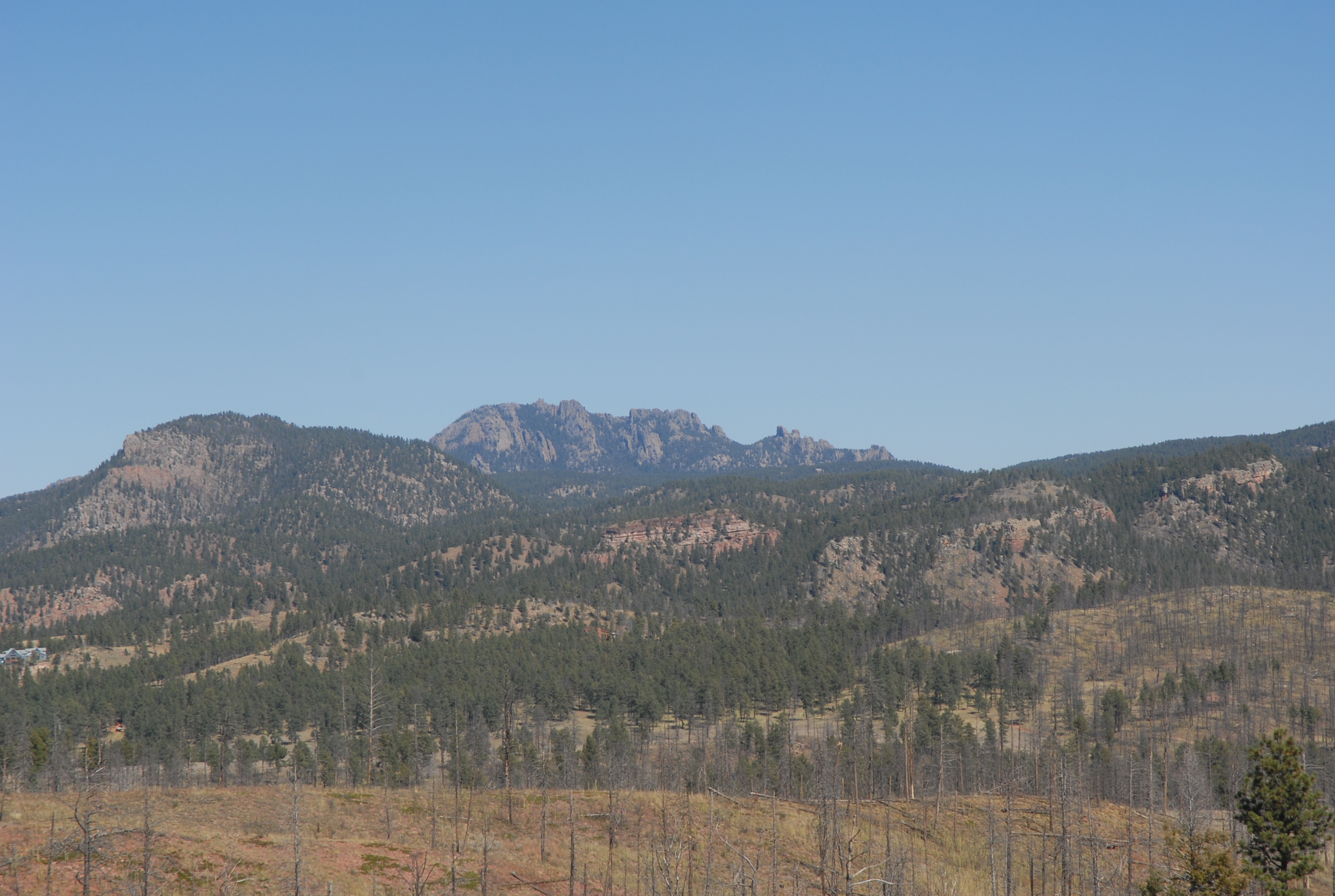
View from the top
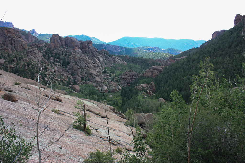
Valley View
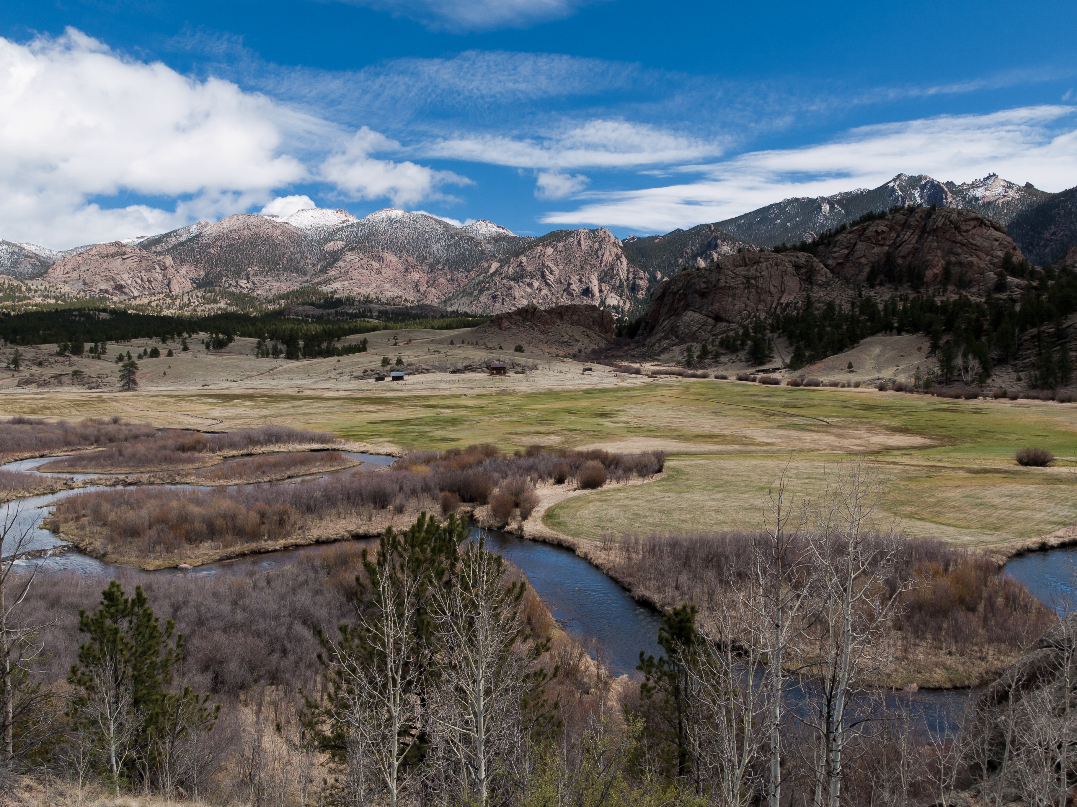
Tarryall Creek Valley
2009.067.0189
2009.067.0191
2009.067.0192
2009.067.0168
2009.067.0170
2009.067.0190
2009.067.0169
2009.067.0174
Topographic Map of Sheeprock, Colorado, USA
Find elevation by address:

Places near Sheeprock, Colorado, USA:
Pike-san Isabel National Forest
Cedar Mountain
Hackett Mountain
South Tarryall Peak
Cedar Ridge Road
162 Brooks Ln
Tappan Mountain
Thunder Butte
55 Duane Dr
721 Turkey Creek Dr
288 Blick Dr
310 Blick Dr
Badger Gulch
China Wall
14655 Westcreek Rd
Westcreek
14955 Hill Dr
M Lazy C Ranch
15366 Westcreek Rd
14610 Columbine Cir
Recent Searches:
- Elevation of Corso Fratelli Cairoli, 35, Macerata MC, Italy
- Elevation of Tallevast Rd, Sarasota, FL, USA
- Elevation of 4th St E, Sonoma, CA, USA
- Elevation of Black Hollow Rd, Pennsdale, PA, USA
- Elevation of Oakland Ave, Williamsport, PA, USA
- Elevation of Pedrógão Grande, Portugal
- Elevation of Klee Dr, Martinsburg, WV, USA
- Elevation of Via Roma, Pieranica CR, Italy
- Elevation of Tavkvetili Mountain, Georgia
- Elevation of Hartfords Bluff Cir, Mt Pleasant, SC, USA