Elevation map of Shebalinsky District, Altai Republic, Russia
Location: Russia > Altai Republic >
Longitude: 85.4002911
Latitude: 51.3589851
Elevation: 1454m / 4770feet
Barometric Pressure: 85KPa
Elevation Map:
Satellite Map:
Related Photos:

The village of Arbaita surroundings

The village of Arbaita surroundings

2016-04-30 10.57.49

2016-04-30 11.07.55

2016-04-30 11.07.16

2016-04-30 16.51.28

2016-04-30 16.51.21

2016-04-30 10.57.47

2016-04-30 10.57.41

Pump house
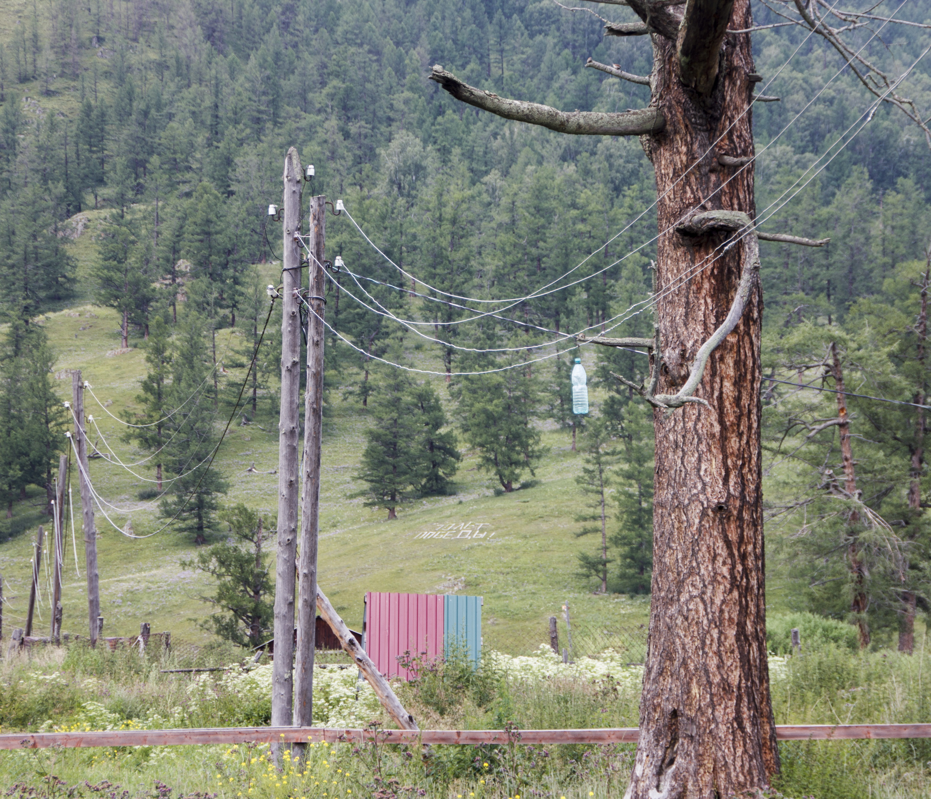
Power line
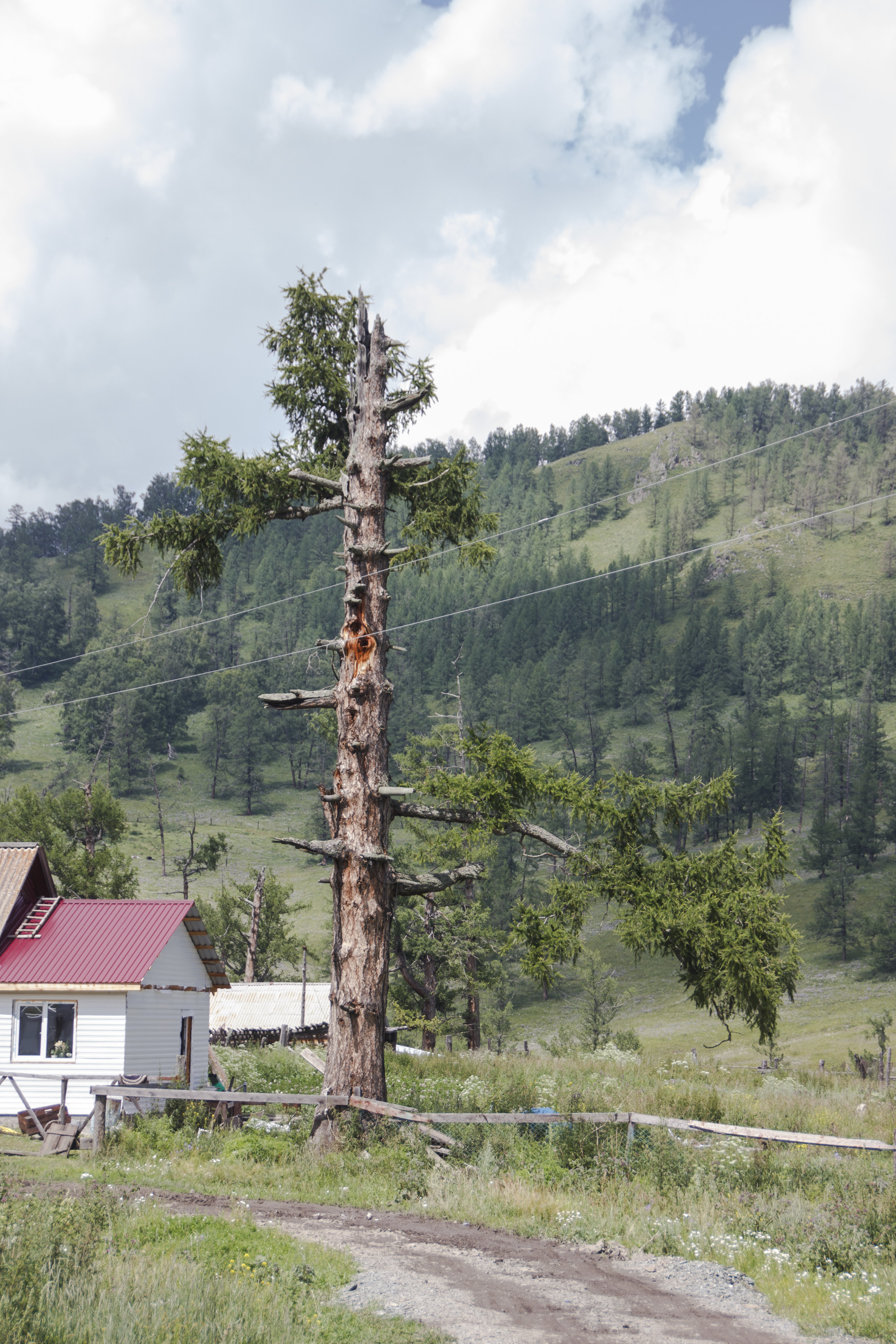
Old tree

Old tree

2016-04-30 10.58.02

2016-04-30 10.58.06

2016-04-30 11.07.33

2016-04-30 11.07.51

2016-04-30 20.18.51

Барагаш

Здесь ночью будет город
Topographic Map of Shebalinsky District, Altai Republic, Russia
Find elevation by address:

Recent Searches:
- Elevation of 3 Nestling Wood Dr, Long Valley, NJ, USA
- Elevation of Ilungu, Tanzania
- Elevation of Yellow Springs Road, Yellow Springs Rd, Chester Springs, PA, USA
- Elevation of Rēzekne Municipality, Latvia
- Elevation of Plikpūrmaļi, Vērēmi Parish, Rēzekne Municipality, LV-, Latvia
- Elevation of 2 Henschke Ct, Caboolture QLD, Australia
- Elevation of Redondo Ave, Long Beach, CA, USA
- Elevation of Sadovaya Ulitsa, 20, Rezh, Sverdlovskaya oblast', Russia
- Elevation of Ulitsa Kalinina, 79, Rezh, Sverdlovskaya oblast', Russia
- Elevation of 72-31 Metropolitan Ave, Middle Village, NY, USA