Elevation of Shaw Rd, Cummington, MA, USA
Location: United States > Massachusetts > Berkshire County > Windsor >
Longitude: -73.001127
Latitude: 42.4987202
Elevation: 538m / 1765feet
Barometric Pressure: 95KPa
Elevation Map:
Satellite Map:
Related Photos:
Nature's Lines and Curves
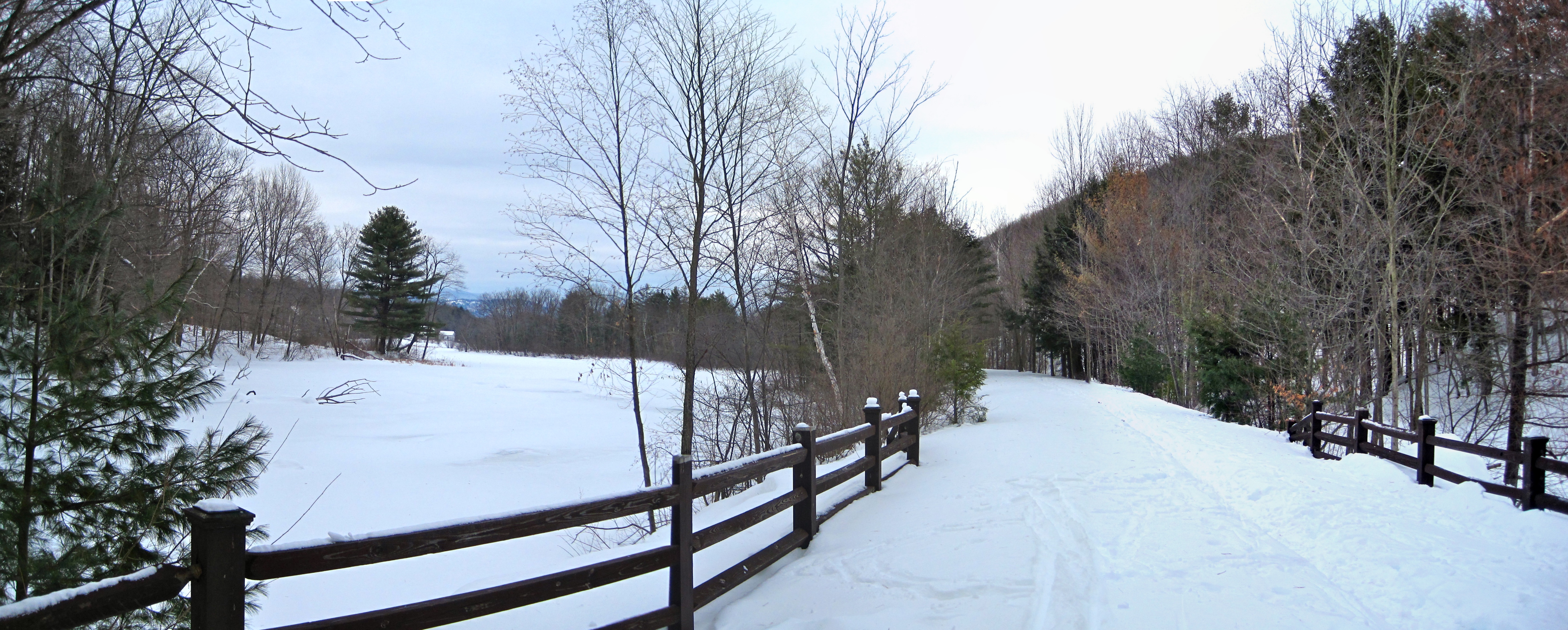
Ashuwillticook Rail Trail crossing Berkshire Pond [panorama]

Farm Road

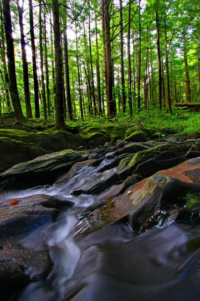
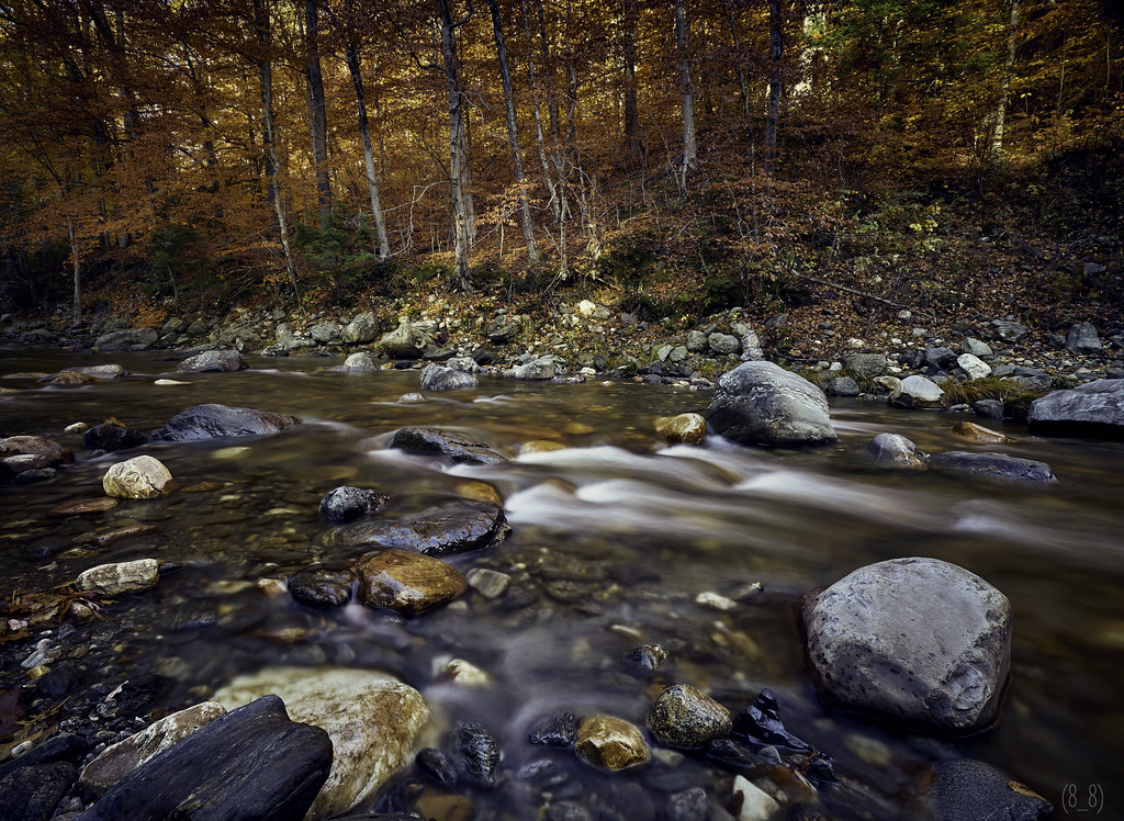
Not Just A Trickle

Tannery 1
it's not about the destination, it's about the journey

Wilson's Warbler

Chesterfield Gorge

Sepia Saturation

The Mill Stream

On the Way to the Emerald Pool

Clark Hill in Worthington, Massachusetts

Fair View
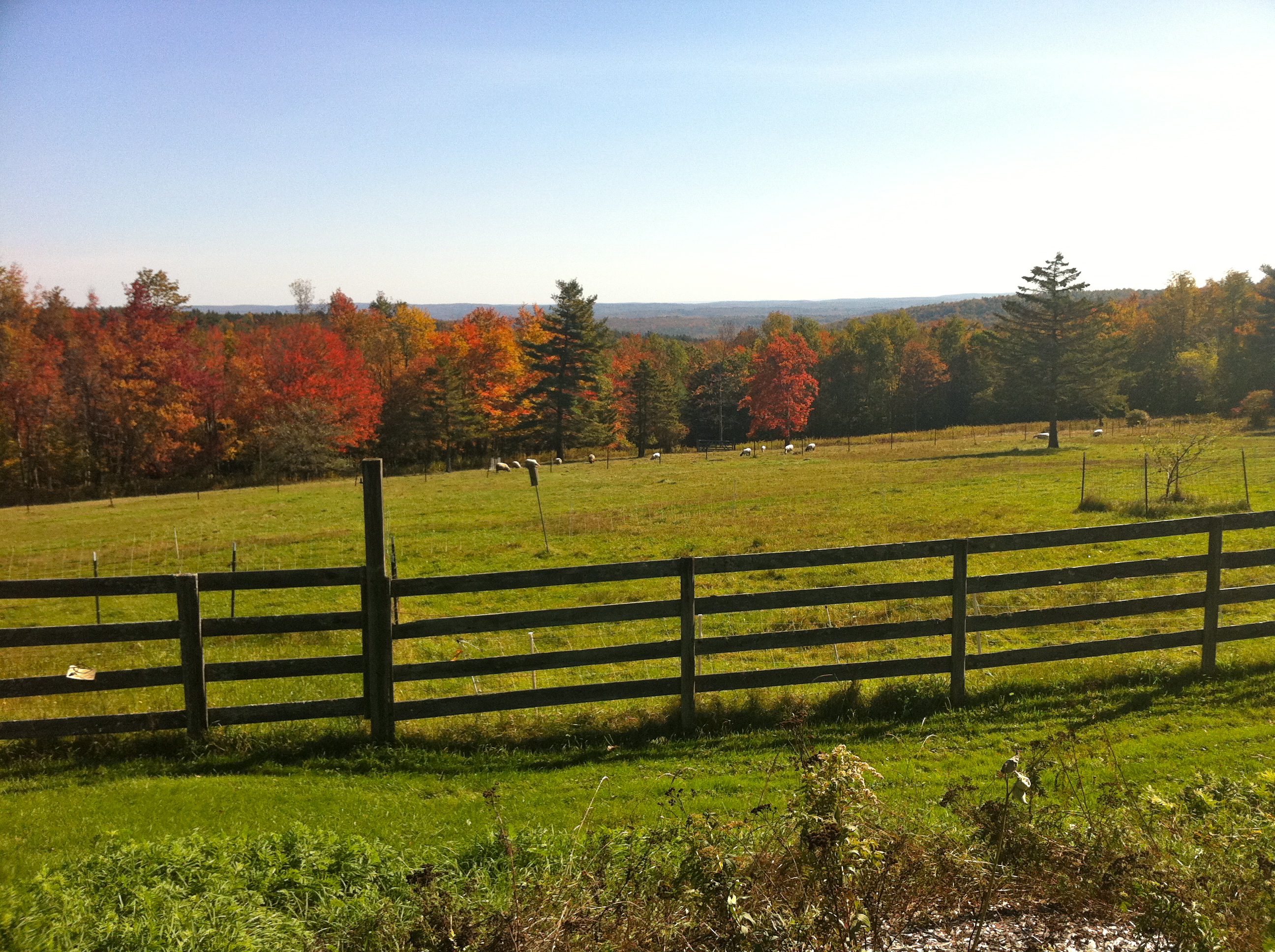
Foliage point on Great River Ride (this time with sheep!)

Sandhill Crane

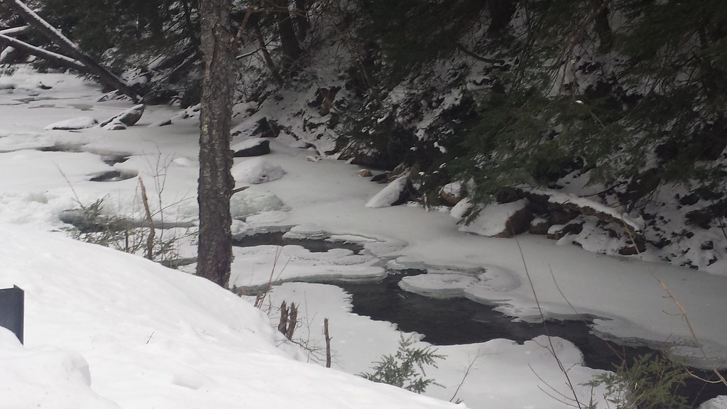
Cold River

WMECo 8.3/4.8kV Y pole

Wahconah Falls

WMECo 22.9/13.2kV Y pole

DSC_4162.jpg

Cobble View

Savoy stream

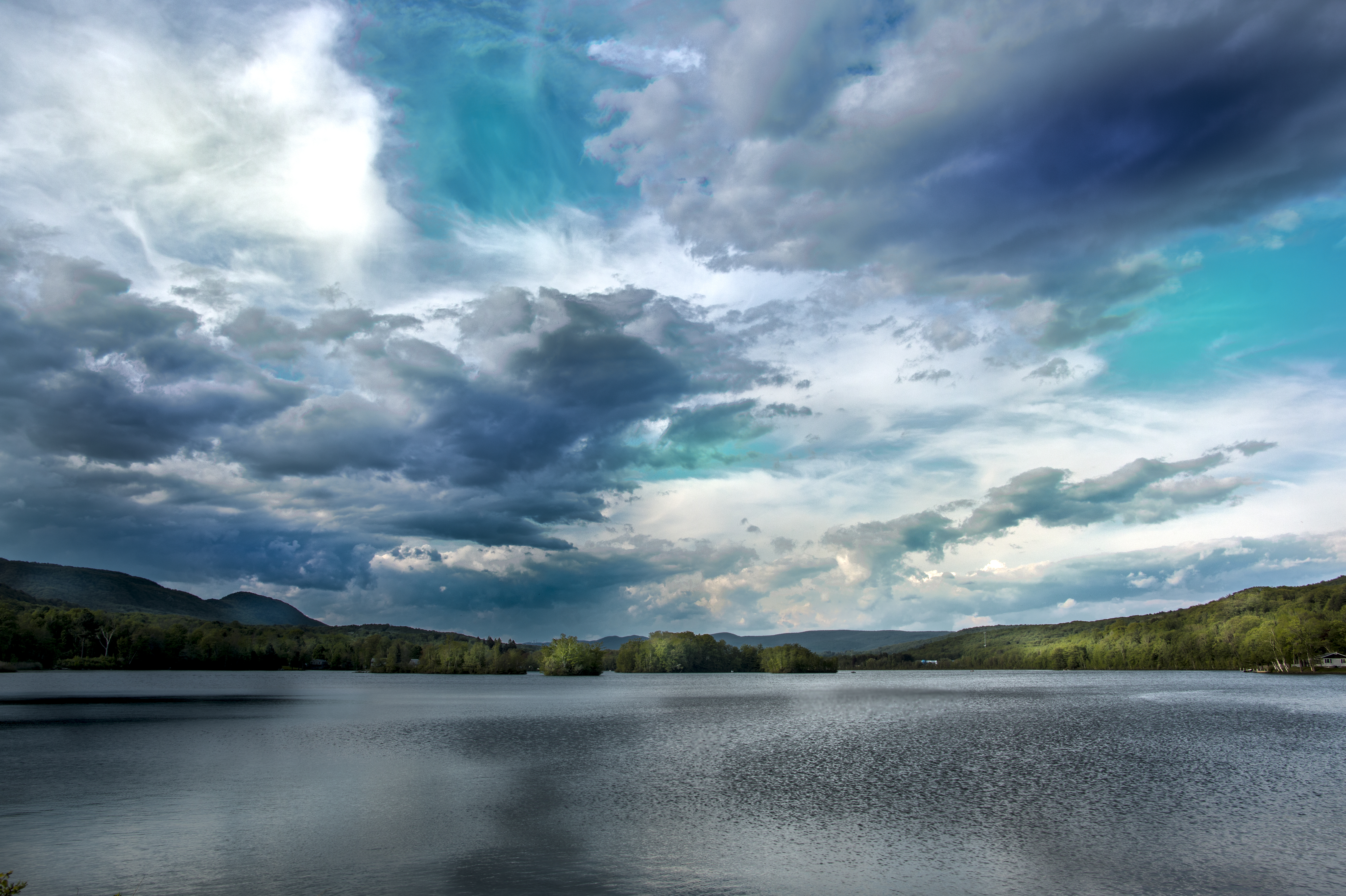
Waconah Sunset

Waconah Falls, Massachusetts

Chickley River

A Berkshire Brae No. 1

Ayrhill Farm

A Berkshire Brae No. 2
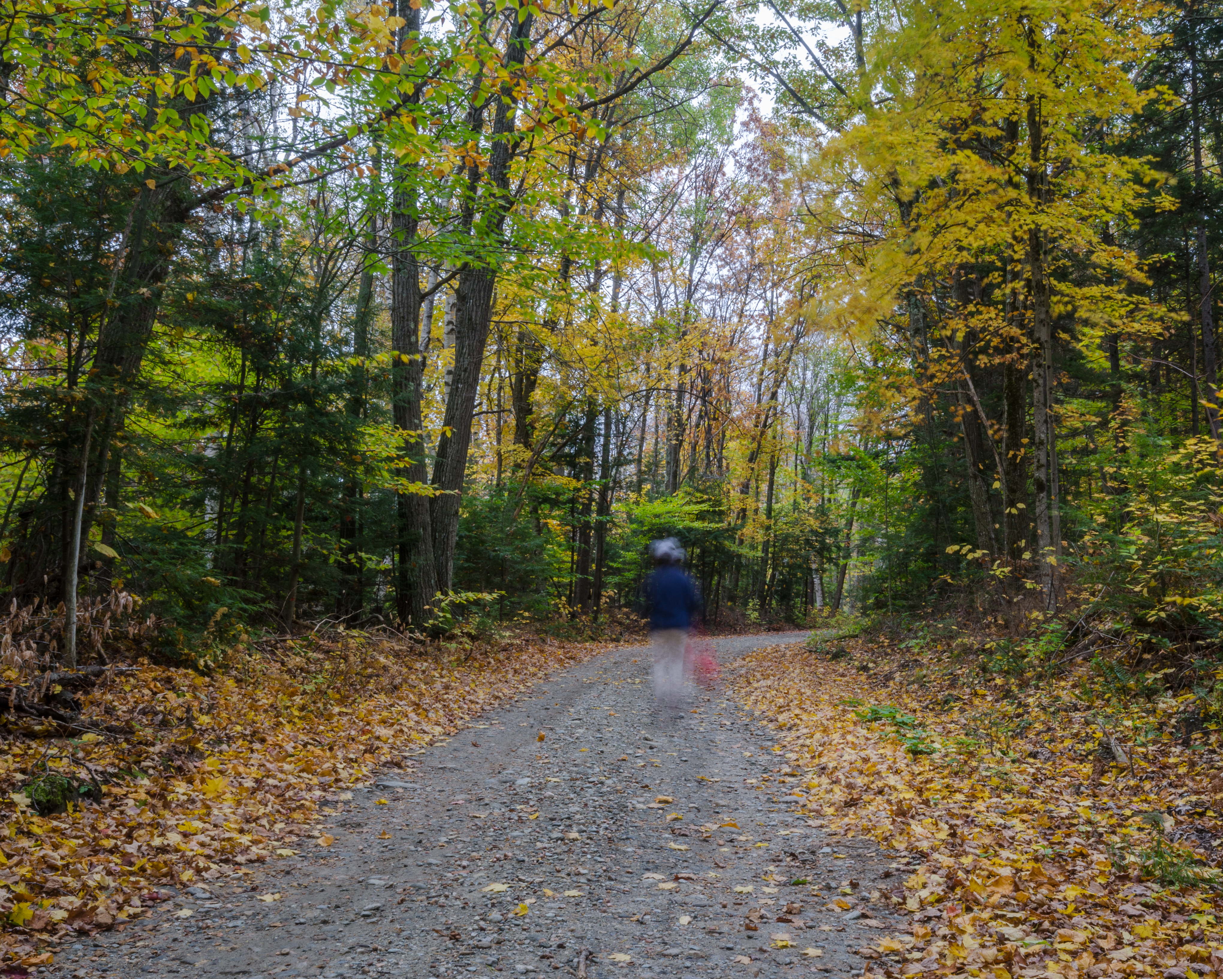
ghostly figure on the trail
Deerfield River, Mohawk Trail (6482) 1
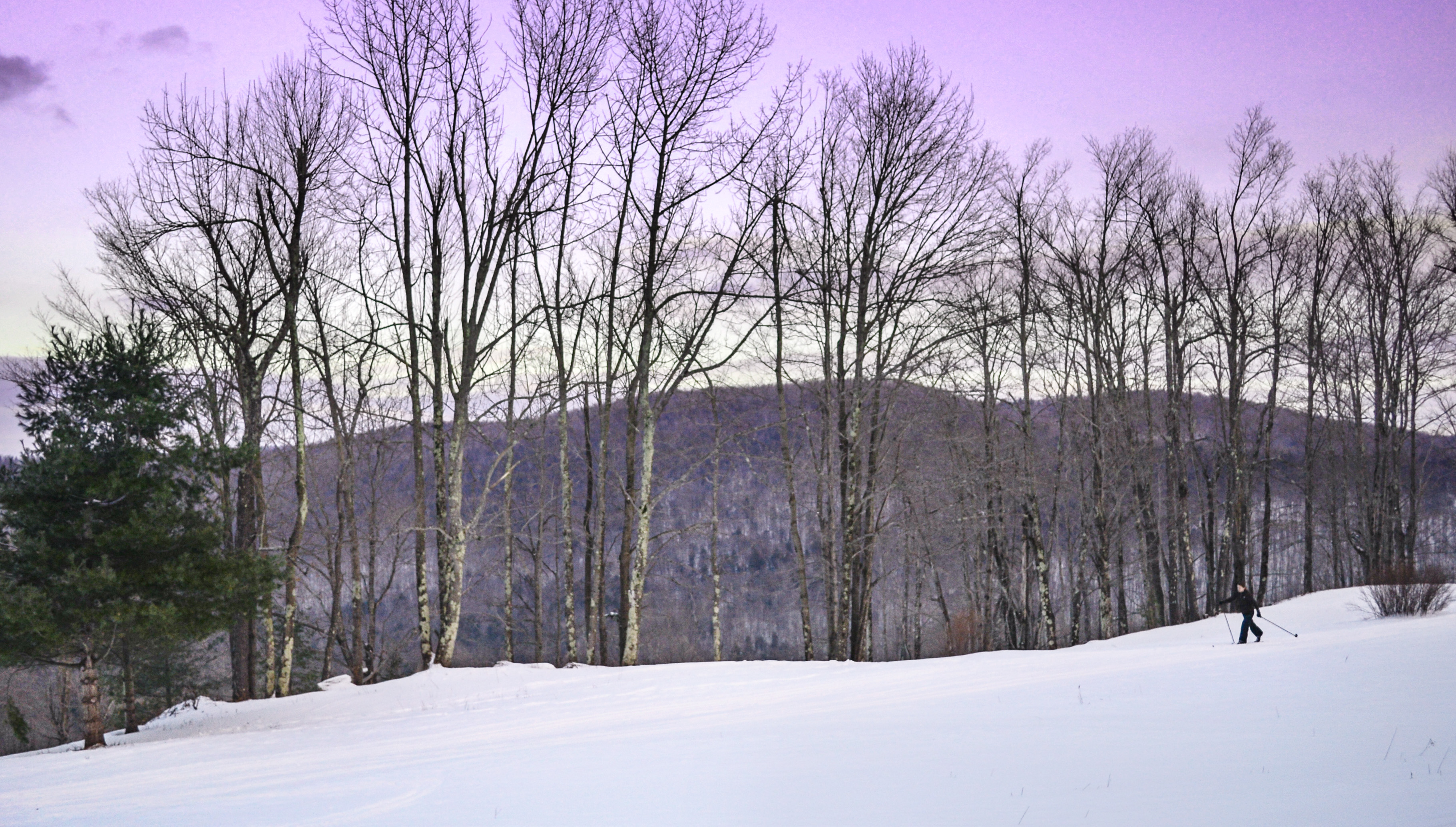
In the Berkshires for the Winter

at Savoy Forest
edited in photoshop (697 of 3)

_MG_9274-240-HDR
Topographic Map of Shaw Rd, Cummington, MA, USA
Find elevation by address:

Places near Shaw Rd, Cummington, MA, USA:
520 Shaw Rd
River Road
River Road
270 West St
254 E Windsor Rd
261 E Windsor Rd
Windsor Pond
Windsor
1 Humes Rd
234 Powell Rd
Luther Shaw Road
Powell Road
18 Bonny Ln
Mass Audubon's West Mountain Wildlife Sanctuary
14 Bonny Ln
42 Powell Rd
34 Powell Rd
555 Old North Rd
232 Parish Rd
24 Lightning Bug Rd
Recent Searches:
- Elevation of Congressional Dr, Stevensville, MD, USA
- Elevation of Bellview Rd, McLean, VA, USA
- Elevation of Stage Island Rd, Chatham, MA, USA
- Elevation of Shibuya Scramble Crossing, 21 Udagawacho, Shibuya City, Tokyo -, Japan
- Elevation of Jadagoniai, Kaunas District Municipality, Lithuania
- Elevation of Pagonija rock, Kranto 7-oji g. 8"N, Kaunas, Lithuania
- Elevation of Co Rd 87, Jamestown, CO, USA
- Elevation of Tenjo, Cundinamarca, Colombia
- Elevation of Côte-des-Neiges, Montreal, QC H4A 3J6, Canada
- Elevation of Bobcat Dr, Helena, MT, USA