Elevation of Shaw Mill Rd, St Pauls, NC, USA

Location: United States > North Carolina > Robeson County > St. Pauls > Saint Pauls >

Longitude: -78.914960

Latitude: 34.824779

Elevation: 48m / 157feet

Barometric Pressure: 101KPa

Elevation Map:

elevation map of Shaw Mill Rd, St Pauls, NC, USA

Satellite Map:

Satellite map of Shaw Mill Rd, St Pauls, NC, USA

Related Photos:

tobaccobarn stpauls northcarolina robesoncounty ruralsouth rural barn cedargrovechurchroad gerrydincher
Welcome to the Farm
southviewtigers grayscreekbears southviewhighschool grayscreekhighschool bearsstadium battleofthebridge hopemills northcarolina cumberlandcounty interstate95 trophy gerrydincher
Battle of the Bridge trophy
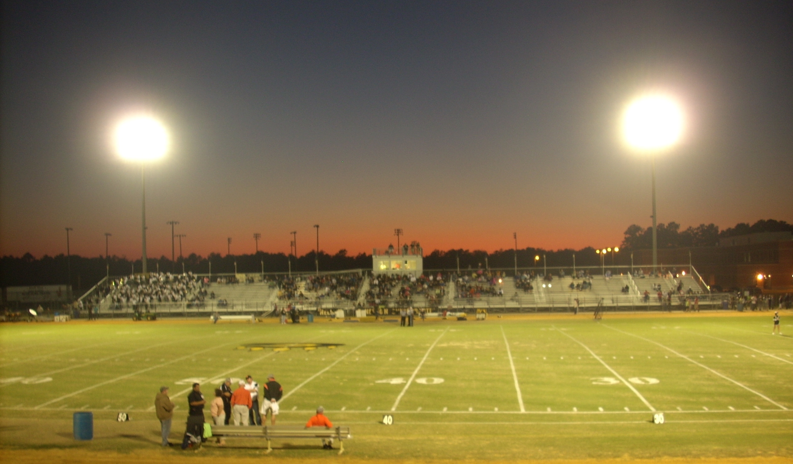
southviewtigers grayscreekbears southviewhighschool grayscreekhighschool bearsstadium battleofthebridge hopemills northcarolina cumberlandcounty gerrydincher
Bears Stadium
southviewtigers grayscreekbears southviewhighschool grayscreekhighschool bearsstadium battleofthebridge hopemills northcarolina cumberlandcounty cheerwine homeofthebears gerrydincher
Home of the Bears
southviewtigers grayscreekbears southviewhighschool grayscreekhighschool bearsstadium battleofthebridge hopemills northcarolina cumberlandcounty gerrydincher
South View Tigers flag
grayscreek cumberlandcounty northcarolina snow hbullardroad tobaccobarn tobacco abandoned gerrydincher
H. Bullard Road
northcarolinahighway71 parkton robesoncounty northcarolina downtown railroadcrossing gerrydincher
Parkton, NC
southviewtigers grayscreekbears southviewhighschool grayscreekhighschool bearsstadium battleofthebridge hopemills northcarolina cumberlandcounty grayscreekmarchingband gerrydincher
Grays Creek Band
robesoncounty northcarolina stpauls stpaulspresbyterianchurch cemetery oldstageroad presbyterianchurchusa gerrydincher
St. Pauls Presbyterian Cemetery (2)
robesoncounty northcarolina stpauls stpaulspresbyterianchurch cemetery oldstageroad presbyterianchurchusa gerrydincher
St. Pauls Presbyterian Cemetery
robesoncounty northcarolina december82012 parkton northcarolinahighway71 parktondiscountgrocery gerrydincher
Downtown Parkton
blue trees sky highway rust view steel north carolina oblique
Tar Heel Ferry Road Bridge
robesoncounty northcarolina abandoned ruralsouth rural agriculture farming farm forgotten empty dispair dreary tobaccobarn tobacco barkertenmileroad gerrydincher
Time Has Passed By
robesoncounty northcarolina ruralsouth rexroad cottonfield tobaccobarn gerrydincher
Cotton Field & Tobacco Barn
whitehorse horses wattsdairyroad pasture grazing farm farming farmers stpauls robesoncounty northcarolina gerrydincher
What are you looking at?
bladencounty northcarolina ruralsouth bladenunionchurchroad tobaccobarn barn oldbarn barninthewoods reclaimed decay rotting gerrydincher
Tobacco Barn in the Woods
tobermory northcarolina bladencounty ruralsouth tobermoryroad wavesofgrain wheatfield wheat farm sky blue gerrydincher
Waves of Grain
cumberlandcounty northcarolina beaver beaverpond wetland swamp johnmcmillanroad councilroad greenspringsroad greensprings mcmillan robesoncounty gerrydincher
Beaver Lodge
cumberlandcounty northcarolina southeasternnorthcarolina grayscreek cypresslakes subdivision newhomes cumulusclouds bluesky gerrydincher
Progress??
robesoncounty northcarolina december82012 lumberbridge lumberbridgebaptistchurch churchstreet chirstmaswreathes gerrydincher
Lumber Bridge Baptist Church
cumberlandcounty northcarolina southeasternnorthcarolina grayscreek cypresslakes subdivision newhomes cumulusclouds bluesky gerrydincher
Progress???
stpauls northcarolina robesoncounty stpaulspresbyterianchurch bench longleafpines oldstageroad gerrydincher
Come, Let's Sit Awhile
tarheel northcarolina nc bladencounty saturday saturdayafternoon sky bluesky tree trees nature greenery outdoors outside natural branches treebranches treelimbs spring springtime samsung galaxy smj727v j7v cellphone cellphonepicture
Tar Heel Trees.
unitedstates northcarolina barkertenmile
Roadside Magic Hour
Mark Victor Hanna
geotagged geo:lat=348342300356348 geo:lon=788241082962139
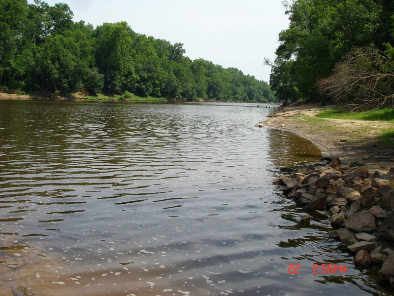
Cape Fear River Low Water Level South Lock 3