Elevation of Shanivarasanthe, Karnataka, India
Location: India > Karnataka > Kodagu >
Longitude: 75.8897029
Latitude: 12.726713
Elevation: 962m / 3156feet
Barometric Pressure: 90KPa
Elevation Map:
Satellite Map:
Related Photos:

the lone trekker

Near Sakleshpur

Near Sakleshpur
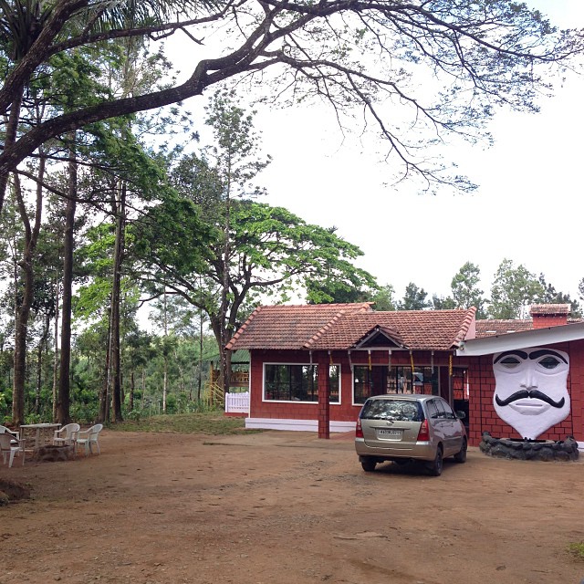
#igoor #house

Dodda Mane. #bighouse

In the elements.

@nikhilballal potting some.
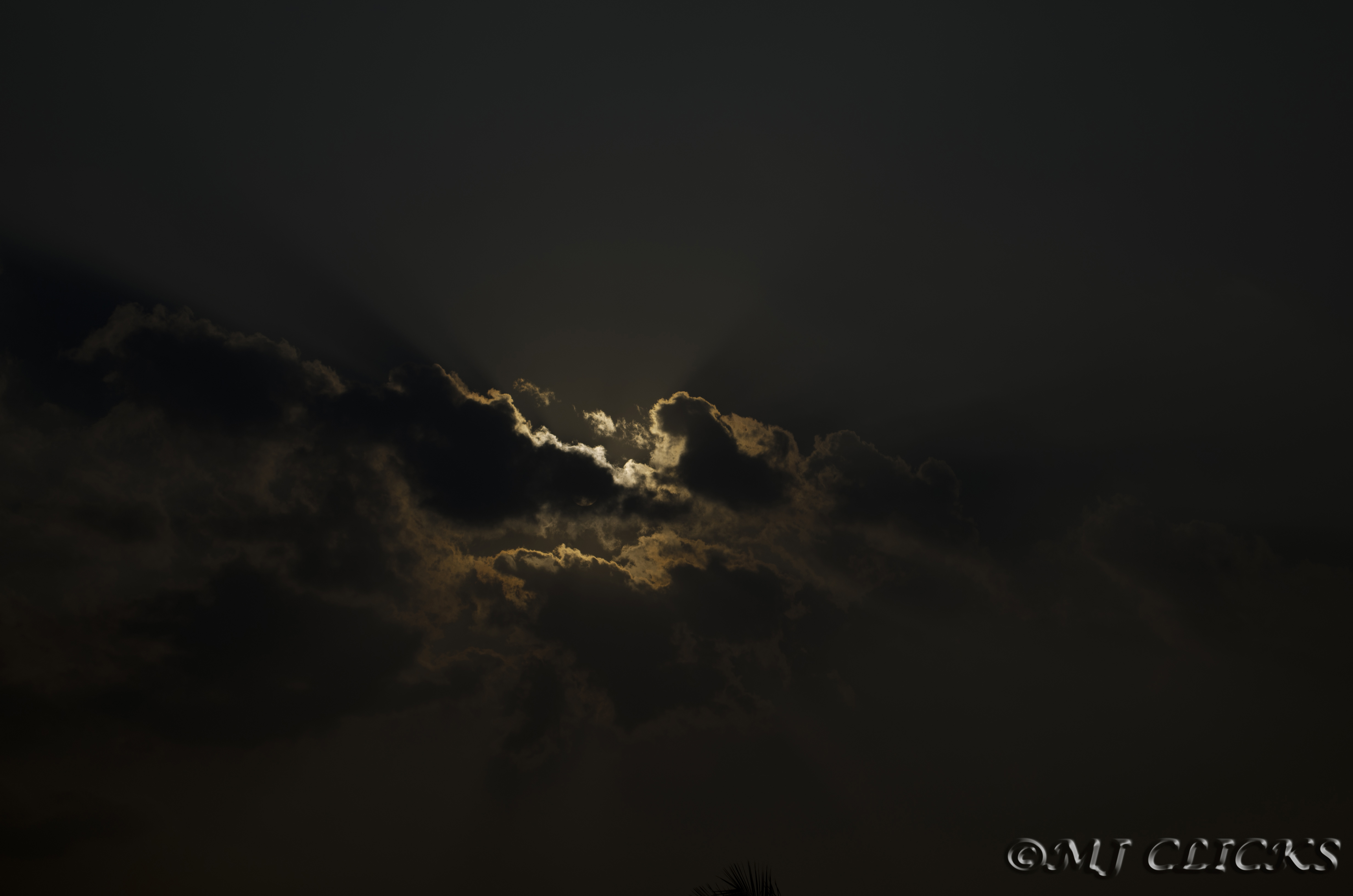
clouds of COORG

Aggigade - the Nature's Treat

New Day..

Aggigade - Greate place to relaz
Topographic Map of Shanivarasanthe, Karnataka, India
Find elevation by address:

Places near Shanivarasanthe, Karnataka, India:
Kumarahalli
State Highway 85
Malemane
Mallalli Waterfalls
Sakleshpur
State Highway 85
Kukke Subramanya Temple Arch
Belur
Mudigere
The Hidden Valley
Kottigehara
Yelagudige
Kambalakaad Holiday Home
Dharmasthala
Ardavalli
Kemmanagundi Homestay
Coffee Tranquil
Chickmagaluru
Naraganahalli
Silver Palm Retreat
Recent Searches:
- Elevation of 6 Rue Jules Ferry, Beausoleil, France
- Elevation of Sattva Horizon, 4JC6+G9P, Vinayak Nagar, Kattigenahalli, Bengaluru, Karnataka, India
- Elevation of Great Brook Sports, Gold Star Hwy, Groton, CT, USA
- Elevation of 10 Mountain Laurels Dr, Nashua, NH, USA
- Elevation of 16 Gilboa Ln, Nashua, NH, USA
- Elevation of Laurel Rd, Townsend, TN, USA
- Elevation of 3 Nestling Wood Dr, Long Valley, NJ, USA
- Elevation of Ilungu, Tanzania
- Elevation of Yellow Springs Road, Yellow Springs Rd, Chester Springs, PA, USA
- Elevation of Rēzekne Municipality, Latvia