Elevation of Shambhunath, Nepal
Location: Nepal > Eastern Region > Sagarmatha >
Longitude: 86.6913222
Latitude: 26.652365
Elevation: 168m / 551feet
Barometric Pressure: 99KPa
Elevation Map:
Satellite Map:
Related Photos:

Please guess where is it took this picture? Www.nepalguideinfo.com email :[email protected]

#HTers #HashTags #fun #holiday #igtravel #instago #instagood #instapassport #instatravel #instatraveling #mytravelgram #photooftheday #tourism #tourist #travel #travelgram #traveling #travelingram #travelling #trip #vacation #visiting#nepal #trekking #exp
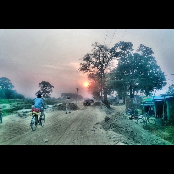
An evening in #Belhi (#Village of #Saptari District) #Sunset #Nature #MyVillage #Lumia

If I scratch your back, would you scratch mine, later? Father and son's indulgence during summer heat in #Belhi #Village of #Saptari district... #Lumia #Nepal
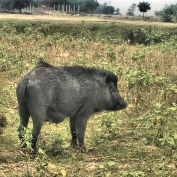
The real badass, no? A #Pig, as seen in a #Village called #Belhi in the district of #Saptari, #Nepal. #Lumia
MJ1_8105.jpg

MJ1_8104.jpg

Just a flower

5-day OpenStreetMap Training to Nepal Red Cross Society for Community Based Disaster Risk Reduction (Koshi Basin) Program
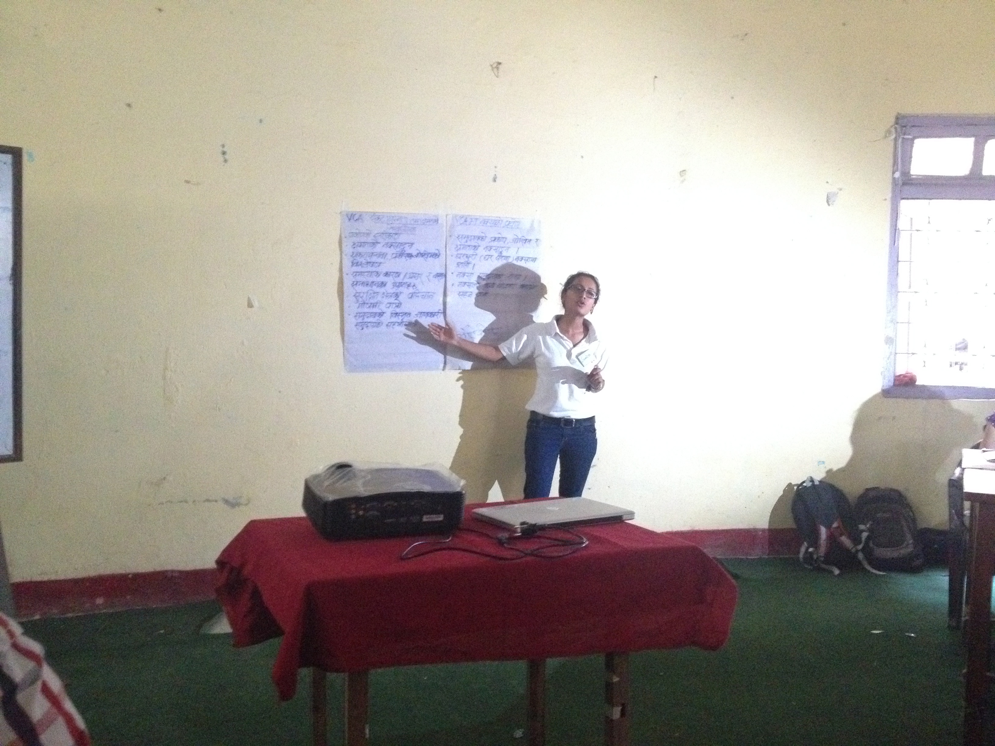
5-day OpenStreetMap Training to Nepal Red Cross Society for Community Based Disaster Risk Reduction (Koshi Basin) Program
5-day OpenStreetMap Training to Nepal Red Cross Society for Community Based Disaster Risk Reduction (Koshi Basin) Program

5-day OpenStreetMap Training to Nepal Red Cross Society for Community Based Disaster Risk Reduction (Koshi Basin) Program
5-day OpenStreetMap Training to Nepal Red Cross Society for Community Based Disaster Risk Reduction (Koshi Basin) Program
5-day OpenStreetMap Training to Nepal Red Cross Society for Community Based Disaster Risk Reduction (Koshi Basin) Program
5-day OpenStreetMap Training to Nepal Red Cross Society for Community Based Disaster Risk Reduction (Koshi Basin) Program
Topographic Map of Shambhunath, Nepal
Find elevation by address:

Places near Shambhunath, Nepal:
Saptari
Rajbiraj
Rautahat
Supaul
Basantapur
Sunsari
Supaul
Madhubani
Madhubani
Pandaul
Madhepura
Saharsa
Saharsa
Kataia
Madhepura
Darbhanga
Darbhanga
Purnia
Hasanpur
Khagaria
Recent Searches:
- Elevation of Leguwa, Nepal
- Elevation of County Rd, Enterprise, AL, USA
- Elevation of Kolchuginsky District, Vladimir Oblast, Russia
- Elevation of Shustino, Vladimir Oblast, Russia
- Elevation of Lampiasi St, Sarasota, FL, USA
- Elevation of Elwyn Dr, Roanoke Rapids, NC, USA
- Elevation of Congressional Dr, Stevensville, MD, USA
- Elevation of Bellview Rd, McLean, VA, USA
- Elevation of Stage Island Rd, Chatham, MA, USA
- Elevation of Shibuya Scramble Crossing, 21 Udagawacho, Shibuya City, Tokyo -, Japan