Elevation of Shalkar, Kazakhstan
Location: Kazakhstan > Aktobe Province > Shalkar District >
Longitude: 59.6188673
Latitude: 47.8313394
Elevation: 169m / 554feet
Barometric Pressure: 99KPa
Elevation Map:
Satellite Map:
Related Photos:
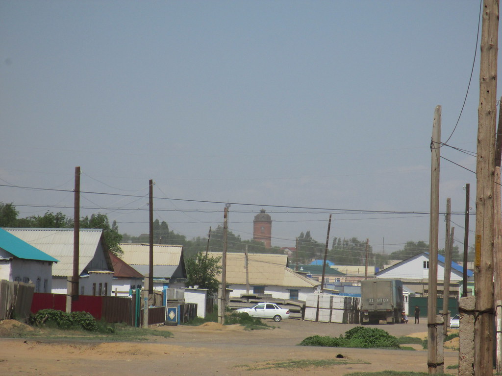
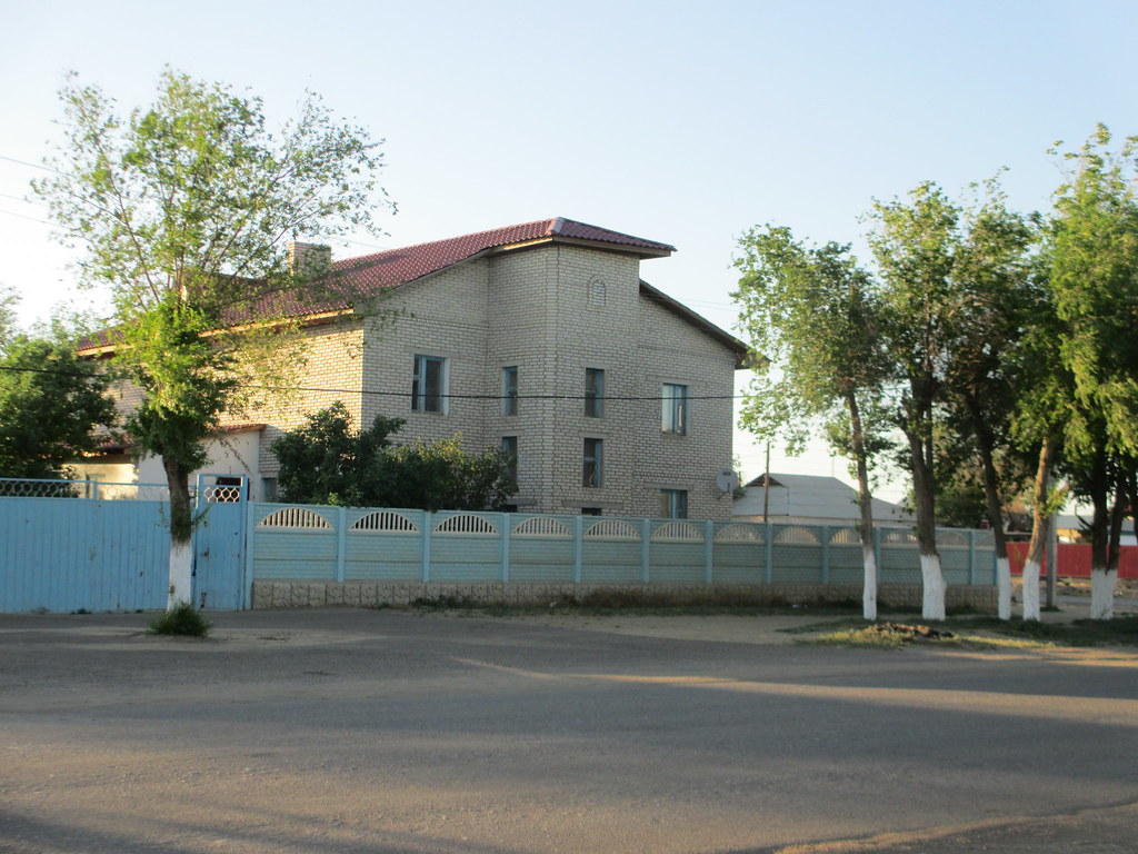
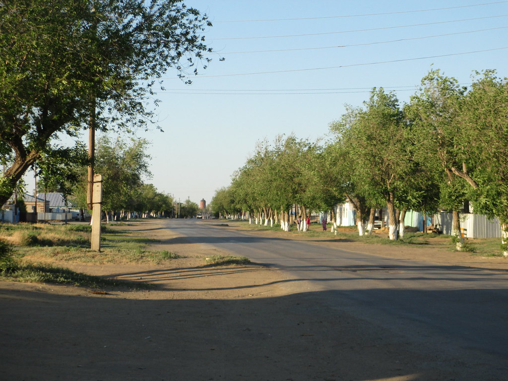
View of Shalkar
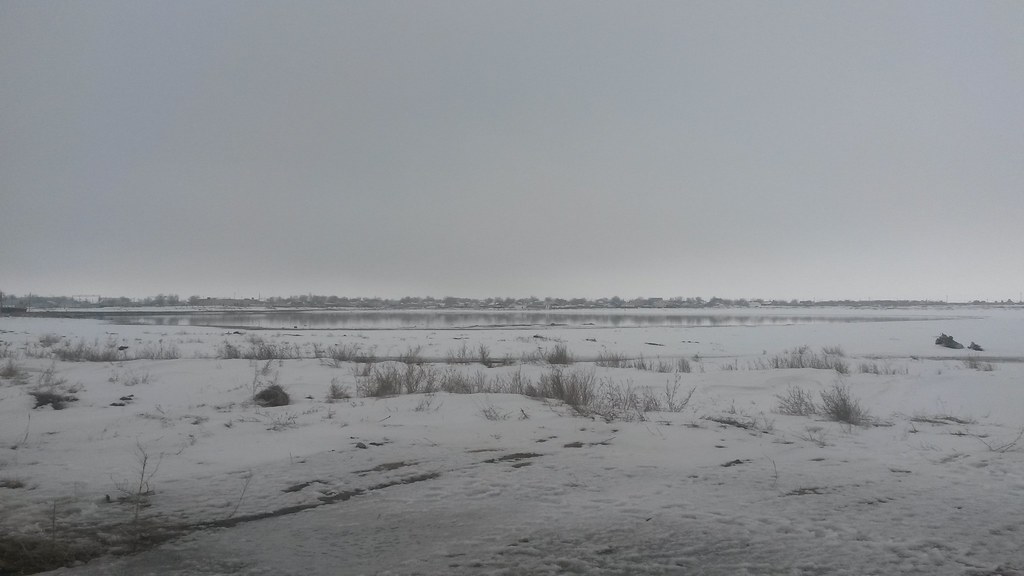
Shalkar Solonchak (sor)
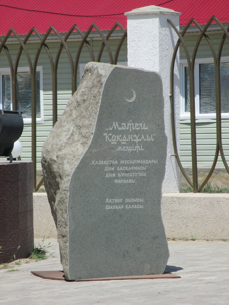
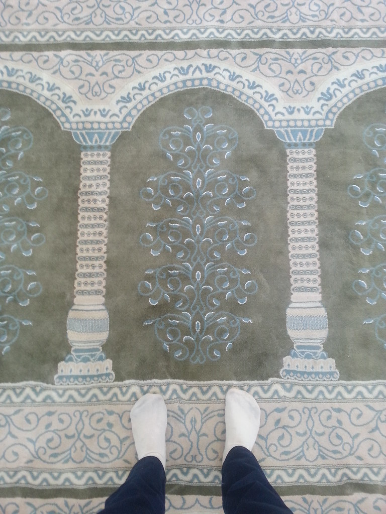
Matey Qoqanuly mosque
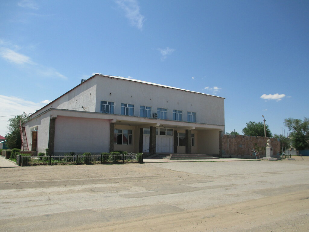
Palace of Culture
Aiteke bi st.
Aiteke bi st.
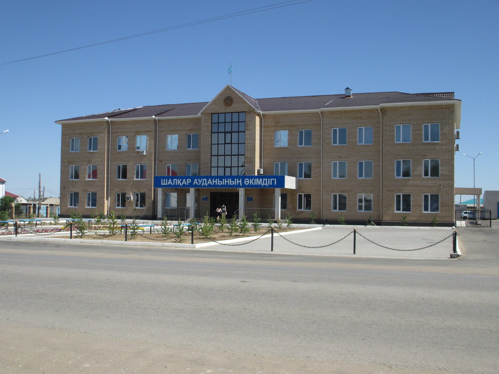
Regional Administration

Akhmet Zhubanov monument
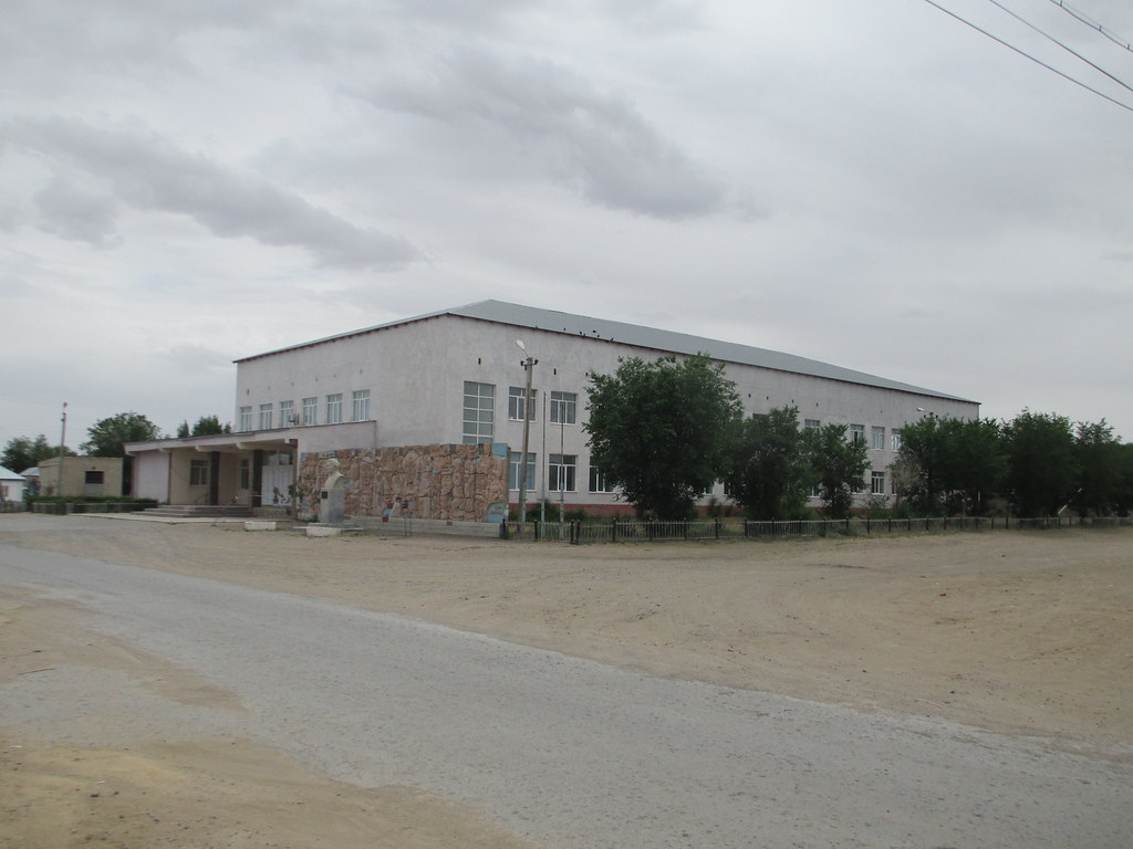
Palace of Culture
Myrzaghul Shymanuly st.

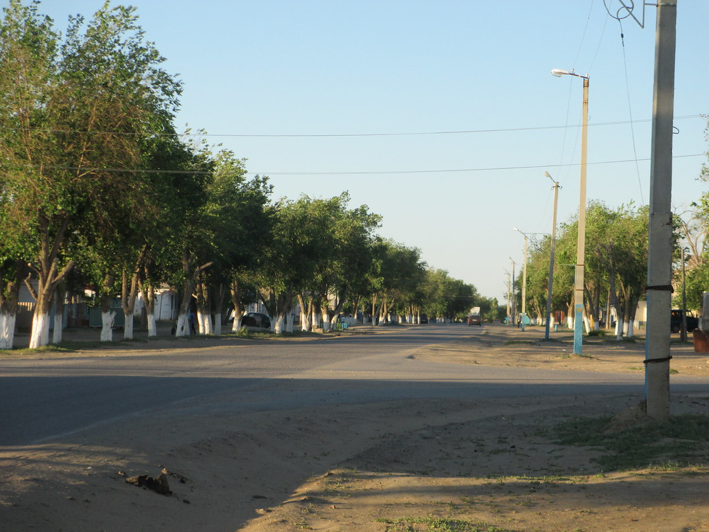
Ayteke bi st.
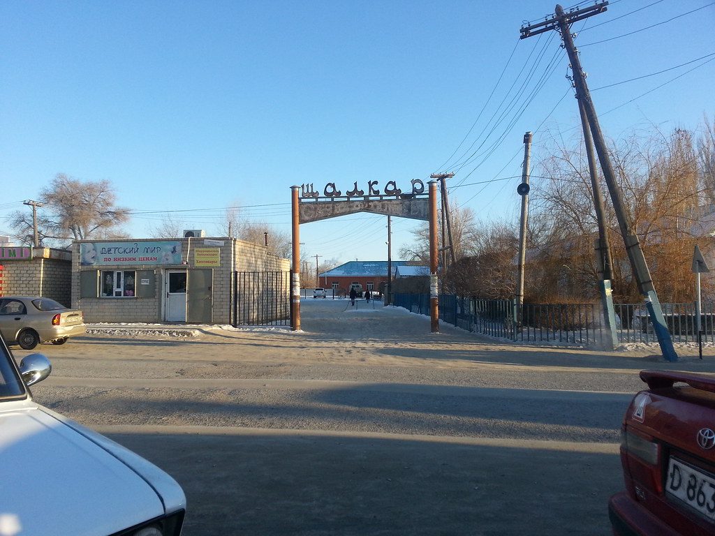
Ayteke bi st.

Ayteke bi st.

Ayteke bi st.
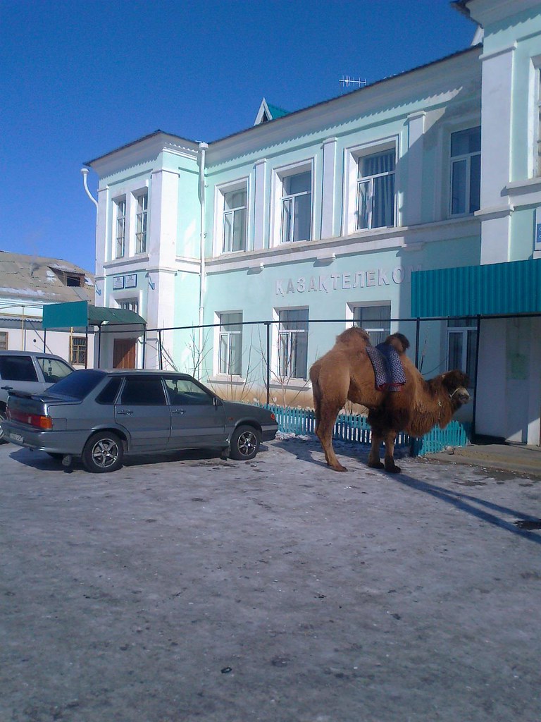
Shalkar, «Kazakhtelecom»

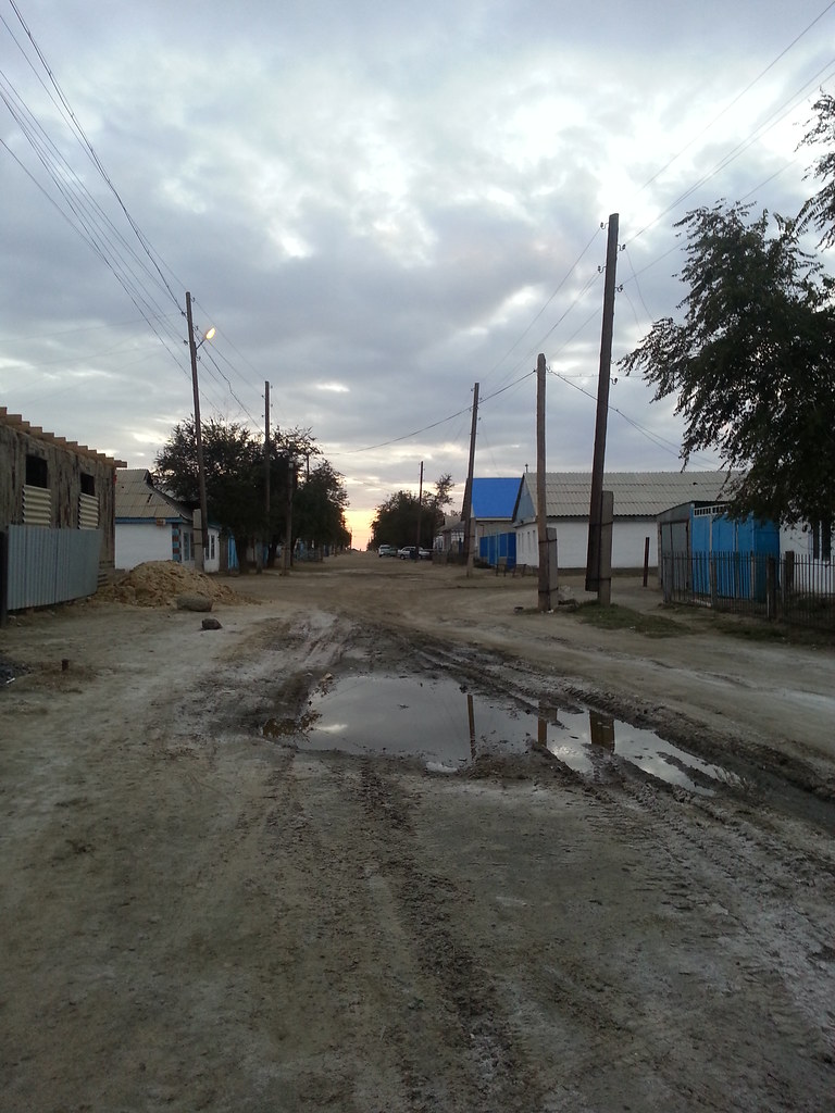
Shalkar abandoned house

Ayteke bi st.
Ayteke bi st.
Matey Qoqanuly mosque
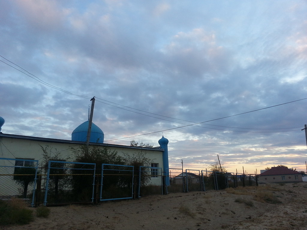
Zhanaman Akhund mosque
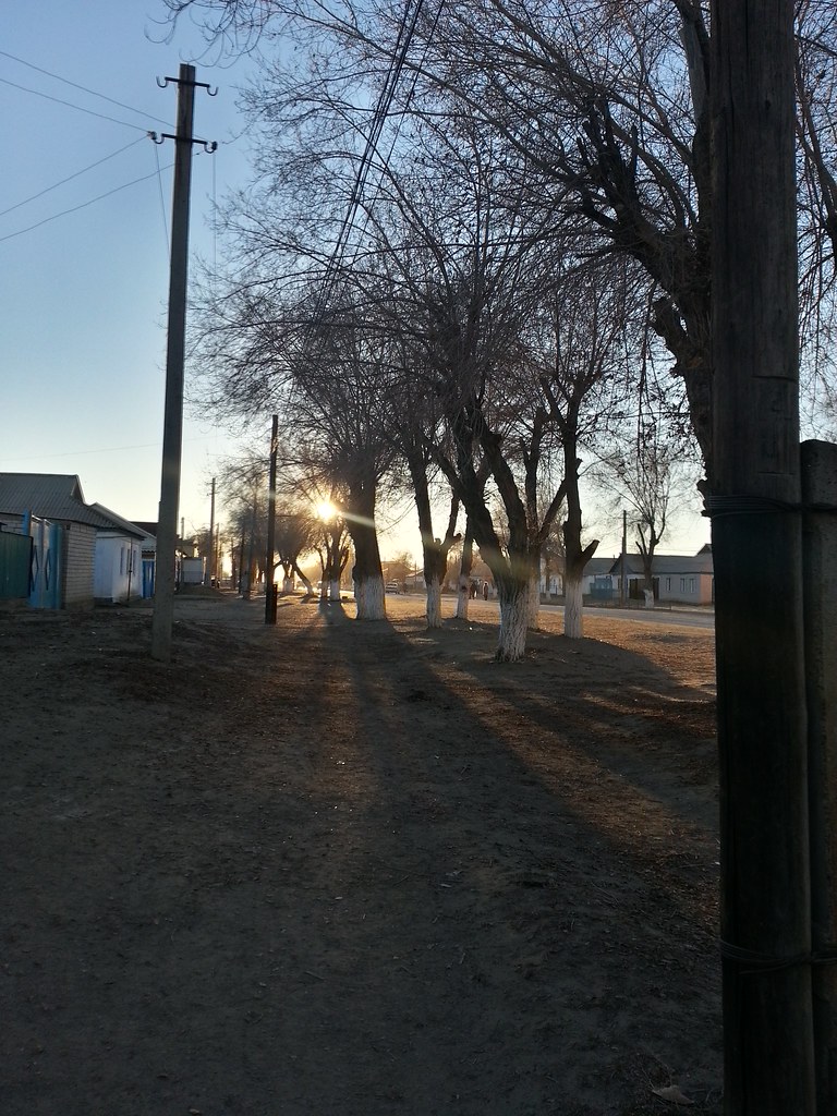
Mekebayev st.
Topographic Map of Shalkar, Kazakhstan
Find elevation by address:

Recent Searches:
- Elevation of W Granada St, Tampa, FL, USA
- Elevation of Pykes Down, Ivybridge PL21 0BY, UK
- Elevation of Jalan Senandin, Lutong, Miri, Sarawak, Malaysia
- Elevation of Bilohirs'k
- Elevation of 30 Oak Lawn Dr, Barkhamsted, CT, USA
- Elevation of Luther Road, Luther Rd, Auburn, CA, USA
- Elevation of Unnamed Road, Respublika Severnaya Osetiya — Alaniya, Russia
- Elevation of Verkhny Fiagdon, North Ossetia–Alania Republic, Russia
- Elevation of F. Viola Hiway, San Rafael, Bulacan, Philippines
- Elevation of Herbage Dr, Gulfport, MS, USA