Elevation of Shady Ln, Millsboro, DE, USA
Location: United States > Delaware > Sussex County > Millsboro >
Longitude: -75.179631
Latitude: 38.654456
Elevation: 3m / 10feet
Barometric Pressure: 101KPa
Elevation Map:
Satellite Map:
Related Photos:
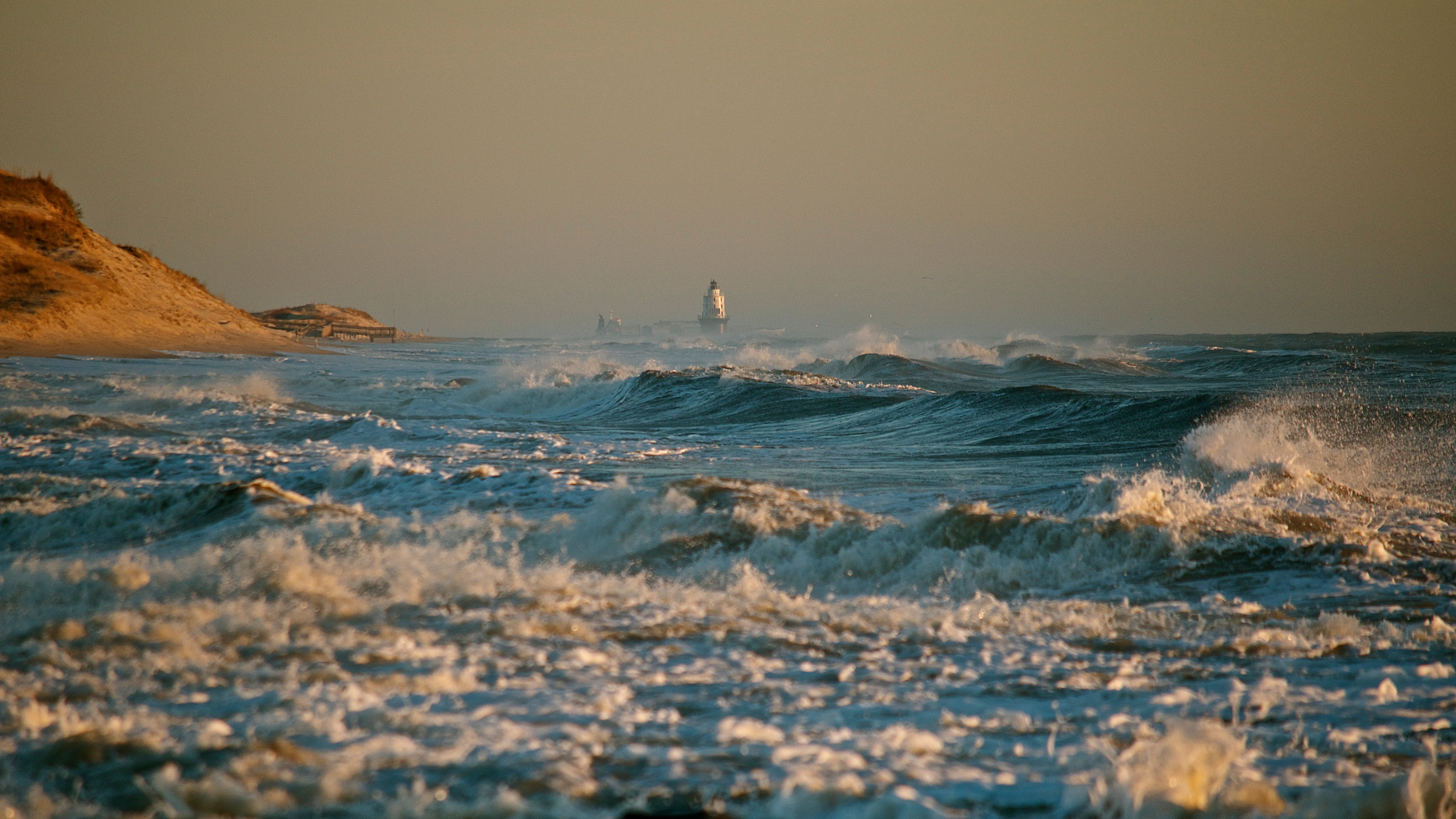
Mother Nature's Fury

You Don't Understand My Point Of View
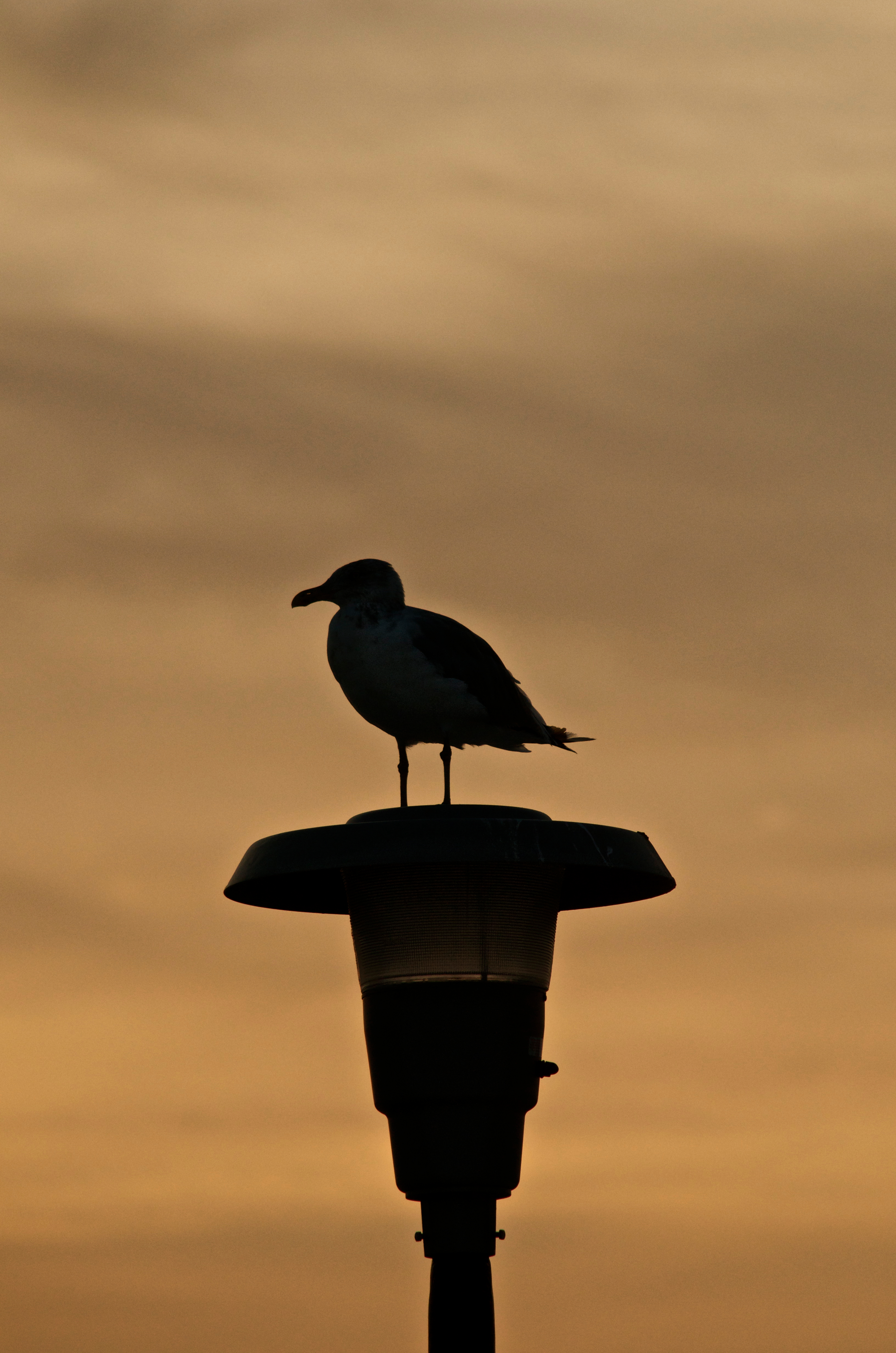
Seagull Silhouette - Explored (9/17/12)

Doing its job...

Forest Floor

Pelicans at Sunrise

Feathers Flying
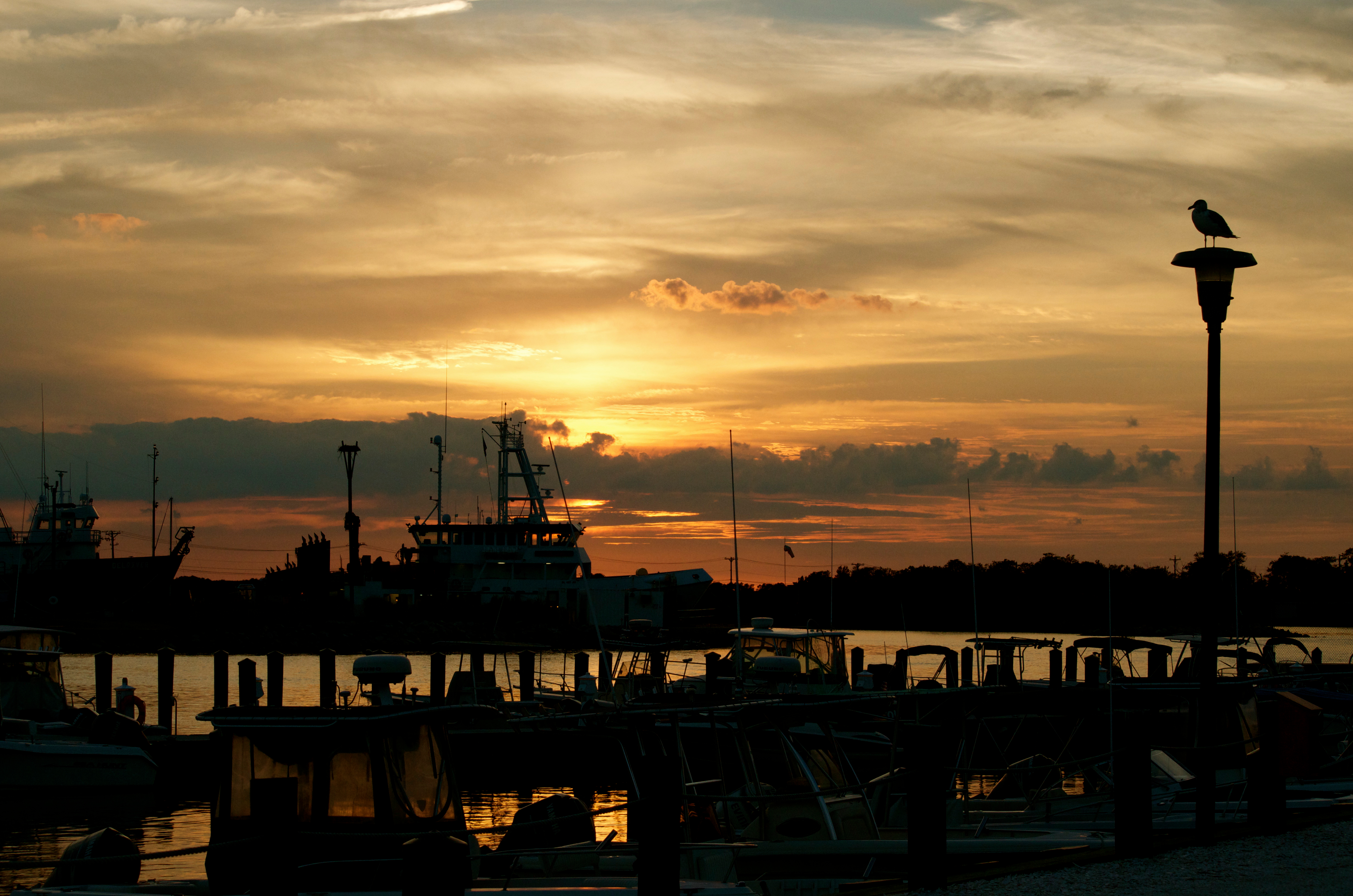
Sunset over the marina

Early Morning Sun

Early Morning Tranquility

Fishing on the wall - B&W
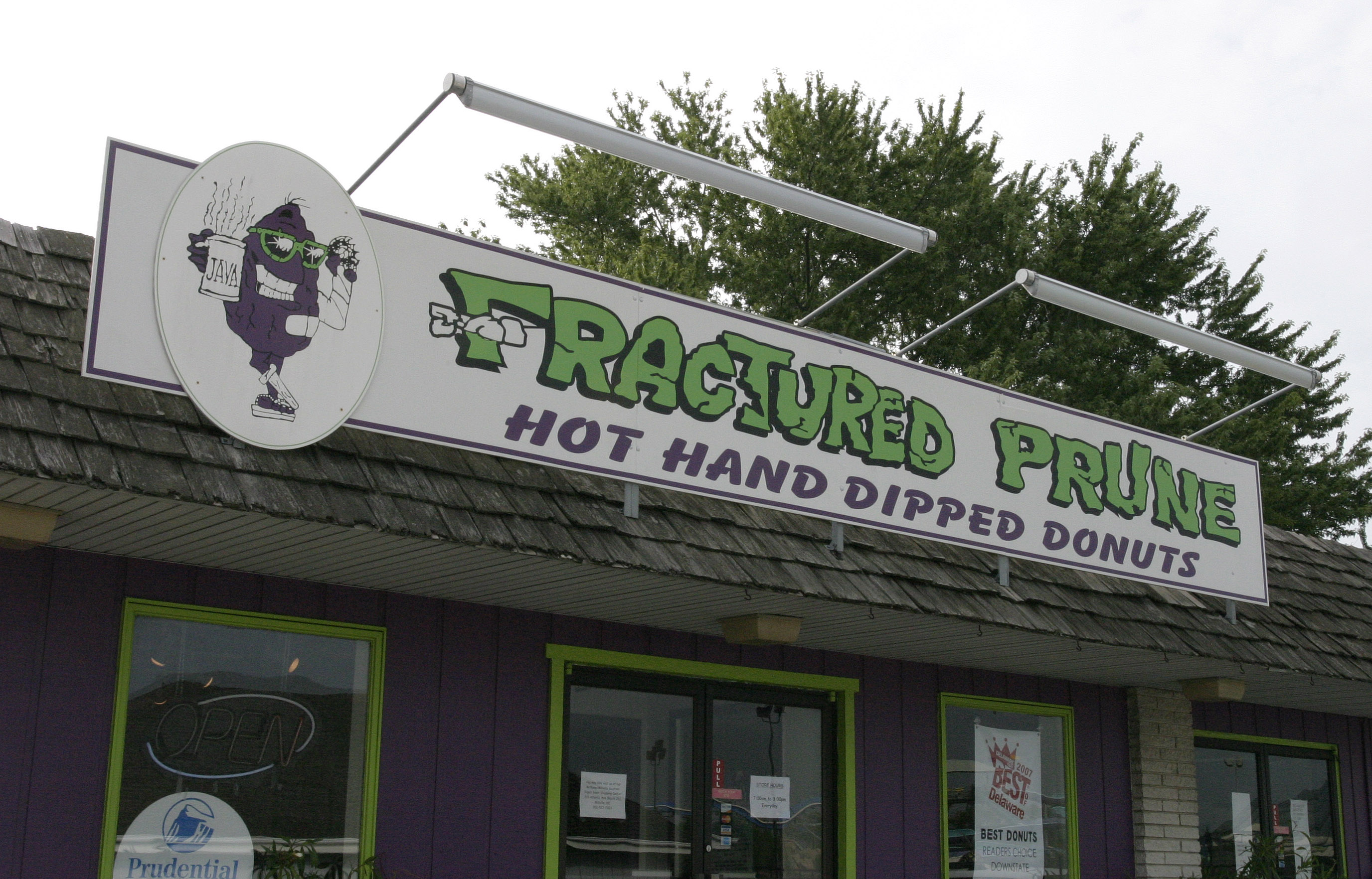
Fractured Prune Sign

The Lewes Barn - Explored (4/19/13)
View leaving Lewes Del on ferry
Throwback Thursday - The Inn at Canal Square
Enjoying the view
Cape May - Lewes Ferry Wall

Red Stigma
Rooms With A View
Al, Stephanie & Crew

The 1950 Riley

Perpetually in Compliment
095 Sunset on Indian River Dagsboro, DE USA

Morning Light

Cold Day at the Beach
Cape Henlopen

Geese above the grasses - Explored (12/28/13)
Rehoboth Canal
All in a Row
Herring Point Before Sunrise - Explored (9/15/14)
Lewes Harobr

Keeping watch
Alone On the Beach - Explored (9/15/14)

Sunset Reflections

Sunset Reflections Canary Creek (Lewes, DE)
136 Sunset on Indian River Dagsboro, DE USA

Brilliant Colors

Burton Island - Explored (9/20/14)

Early Morning - Explored (7-14-14)
Before Sunrise - Explored (9/20/14)
The Atlantic
Topographic Map of Shady Ln, Millsboro, DE, USA
Find elevation by address:

Places near Shady Ln, Millsboro, DE, USA:
Mermaid Way Run, Millsboro, DE, USA
23395 Boat Dock Dr E
22931 John J Williams Hwy
Milby Circle
Koy Ln, Millsboro, DE, USA
23288 Boat Dock Dr W
32554 Long Iron Way
32551 Tee Dell Dr
32538 Tee Dell Dr #3265
32538 Tee Dell Dr #3265
32484 Approach Way
Pond Rd, Millsboro, DE, USA
Albertson Court
23716 Herring Reach Ct.
23716 Herring Reach Ct.
34016 Inlet Breeze Dr
Shoppes at Long Neck Blvd, Millsboro, DE, USA
18 Valley Rd
20 Valley Rd
20 Valley Rd
Recent Searches:
- Elevation of Tenjo, Cundinamarca, Colombia
- Elevation of Côte-des-Neiges, Montreal, QC H4A 3J6, Canada
- Elevation of Bobcat Dr, Helena, MT, USA
- Elevation of Zu den Ihlowbergen, Althüttendorf, Germany
- Elevation of Badaber, Peshawar, Khyber Pakhtunkhwa, Pakistan
- Elevation of SE Heron Loop, Lincoln City, OR, USA
- Elevation of Slanický ostrov, 01 Námestovo, Slovakia
- Elevation of Spaceport America, Co Rd A, Truth or Consequences, NM, USA
- Elevation of Warwick, RI, USA
- Elevation of Fern Rd, Whitmore, CA, USA