Elevation of Shady Grove Cir, Myrtle Beach, SC, USA
Location: United States > South Carolina > Horry County > Myrtle Beach >
Longitude: -78.949440
Latitude: 33.7061285
Elevation: 7m / 23feet
Barometric Pressure: 101KPa
Elevation Map:
Satellite Map:
Related Photos:

tiny dancer

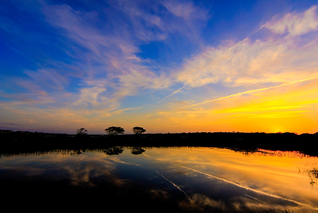
Feeling Blue

Night Skyline - Myrtle Beach (South Carolina)

Fishing at Dusk
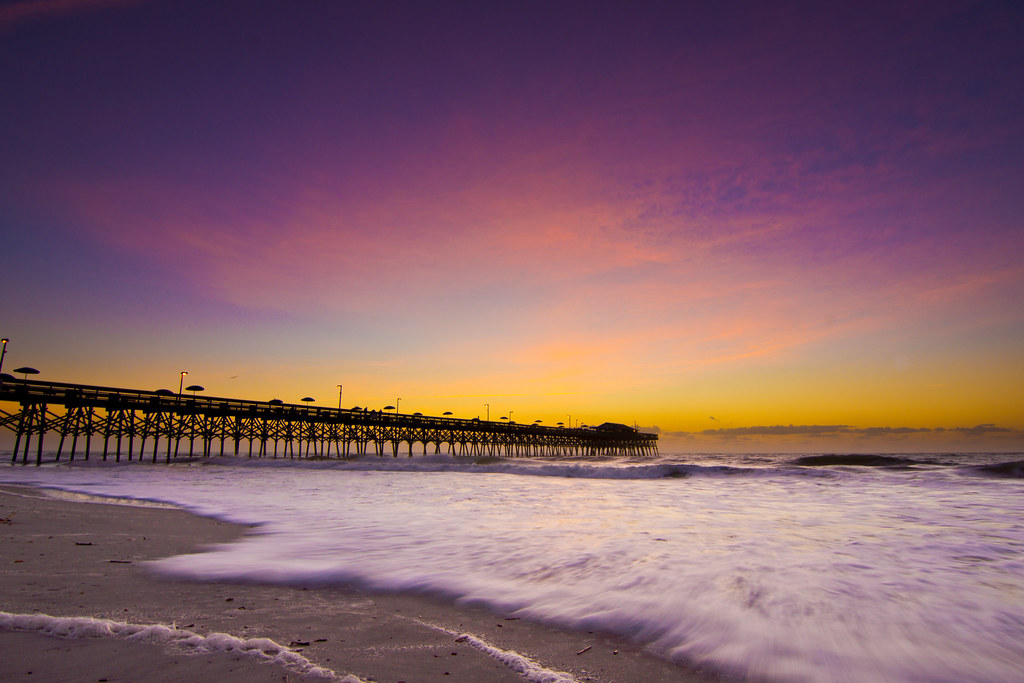
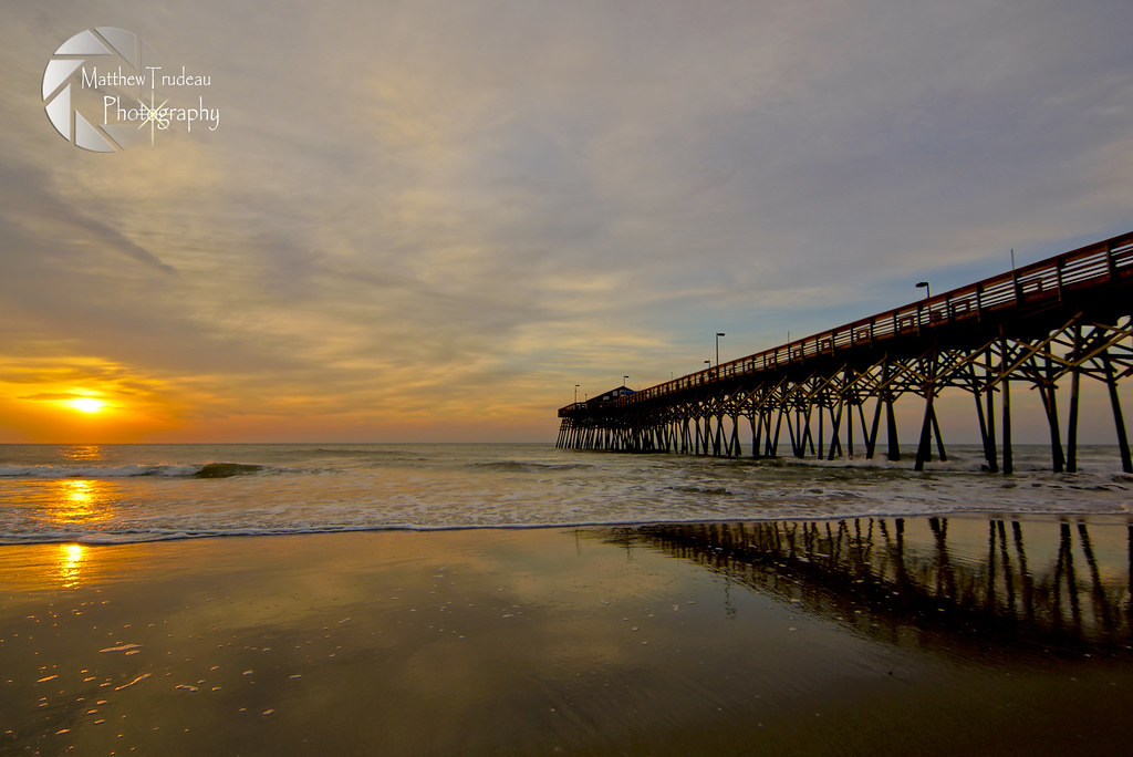
Myrtle Beach Sunset
Garden City Sunset

The Atlantic
Rolling Tide
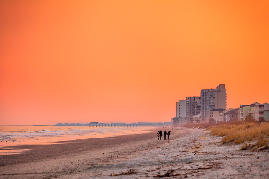
Orange Myrtle Beach

Early start to the day
Dawn at the Beach
December Sunrise

Myrtle Beach State Park

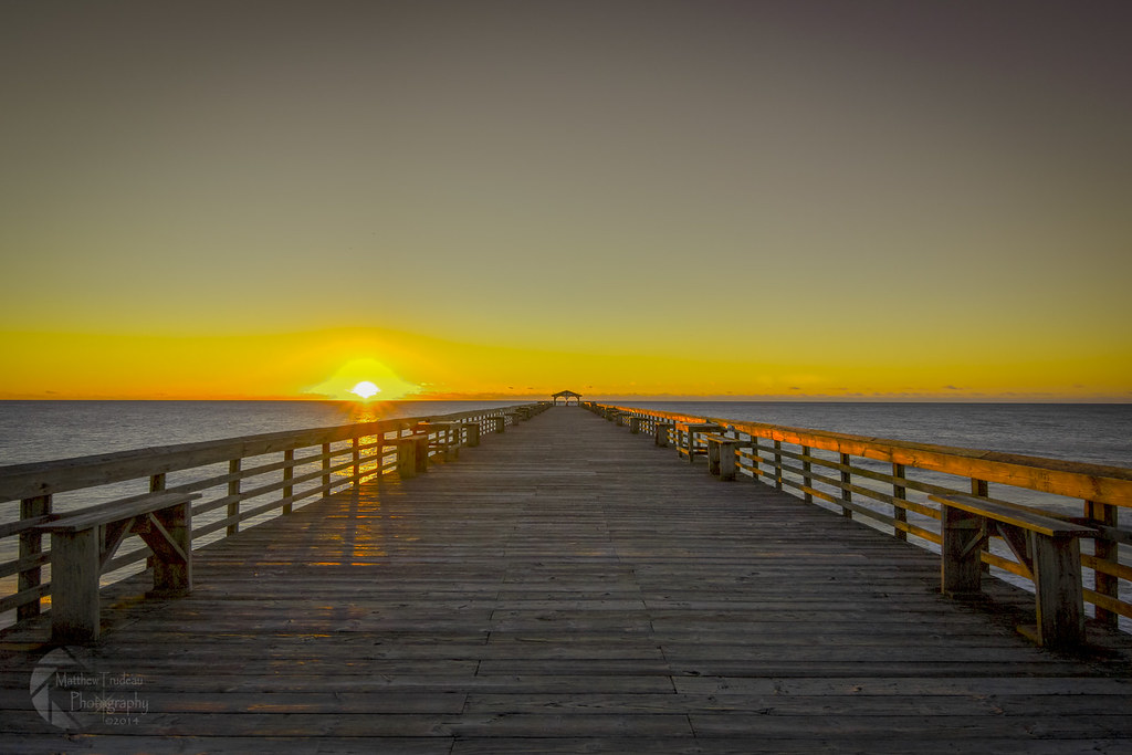
Sunrise at the Pier
Greetings From Myrtle Beach
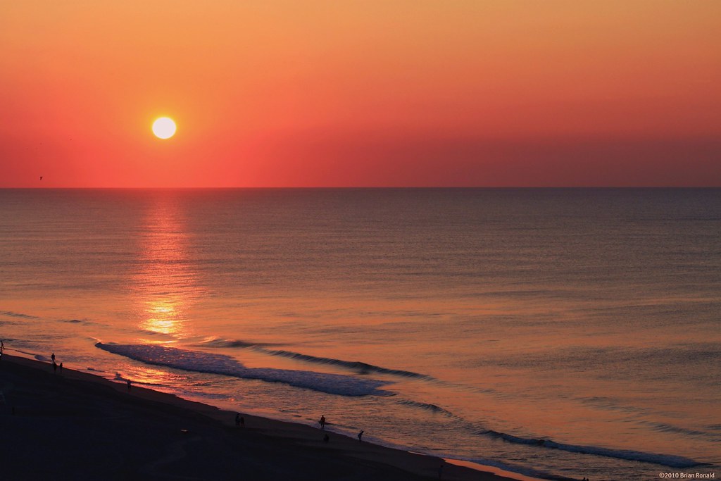
Red in the Morning
_DSC1551 copy
Life's a Beach
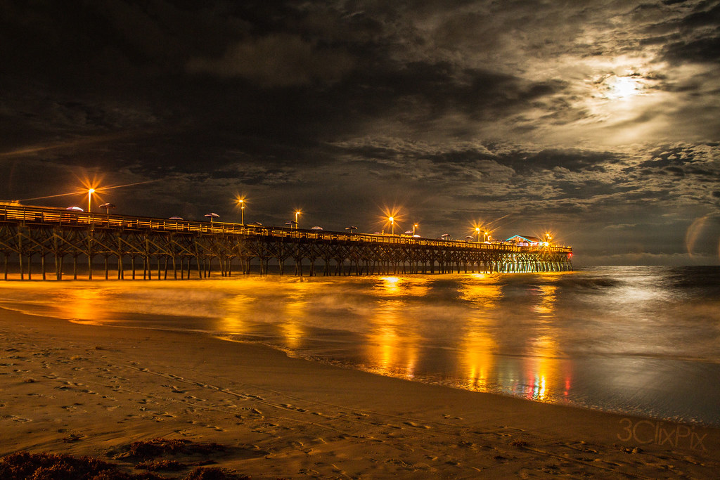
Moon Light
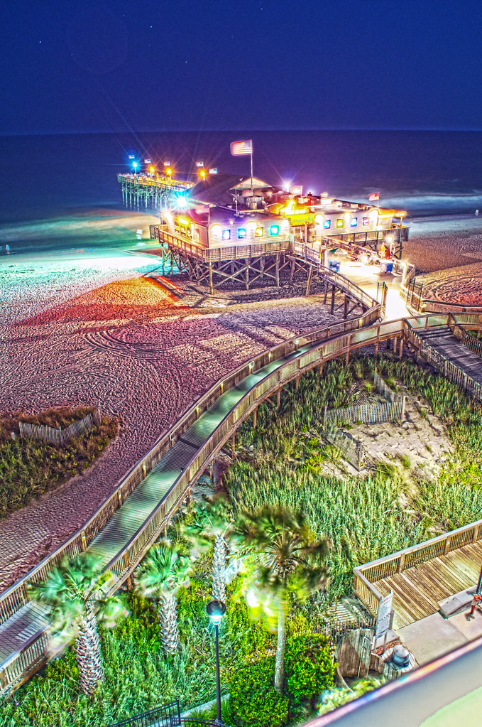
pier 14

Happy Fourth of July!
Topographic Map of Shady Grove Cir, Myrtle Beach, SC, USA
Find elevation by address:

Places near Shady Grove Cir, Myrtle Beach, SC, USA:
553 Shady Grove Cir
608 Needlerush Ct
606 Needlerush Ct
610 Needlerush Ct
619 Needlerush Ct
612 Needlerush Ct
614 Needlerush Ct
636 Needlerush Ct
325 Vesta Dr
Arrowhead Country Club
1197 Coinbow Ln
254 Vesta Dr
3564 Battery Way Ct
Arrowhead Boulevard
Arrowhead Boulevard
1434 Burcale Rd
428 Hunley Ln
436 Hunley Ln
Burcale Road
1048 Hermosa Ct
Recent Searches:
- Elevation of Tenjo, Cundinamarca, Colombia
- Elevation of Côte-des-Neiges, Montreal, QC H4A 3J6, Canada
- Elevation of Bobcat Dr, Helena, MT, USA
- Elevation of Zu den Ihlowbergen, Althüttendorf, Germany
- Elevation of Badaber, Peshawar, Khyber Pakhtunkhwa, Pakistan
- Elevation of SE Heron Loop, Lincoln City, OR, USA
- Elevation of Slanický ostrov, 01 Námestovo, Slovakia
- Elevation of Spaceport America, Co Rd A, Truth or Consequences, NM, USA
- Elevation of Warwick, RI, USA
- Elevation of Fern Rd, Whitmore, CA, USA