Elevation of Seven by Nine Rd, Copenhagen, NY, USA
Location: United States > New York > Lewis County > Denmark > Copenhagen >
Longitude: -75.817722
Latitude: 43.8169411
Elevation: 431m / 1414feet
Barometric Pressure: 96KPa
Elevation Map:
Satellite Map:
Related Photos:
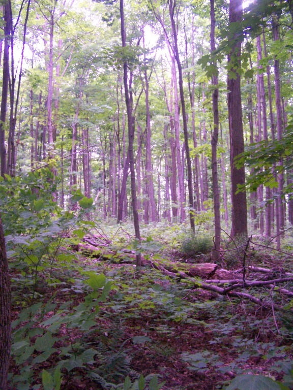
More Trees Blocking Views Into Gulf

Looking Up
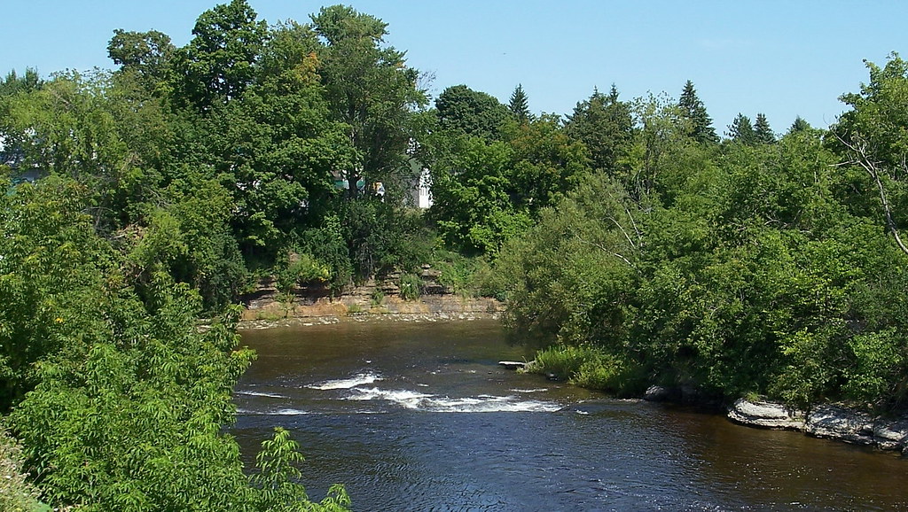
ny08h09 Copenhagen, New York, River 2008
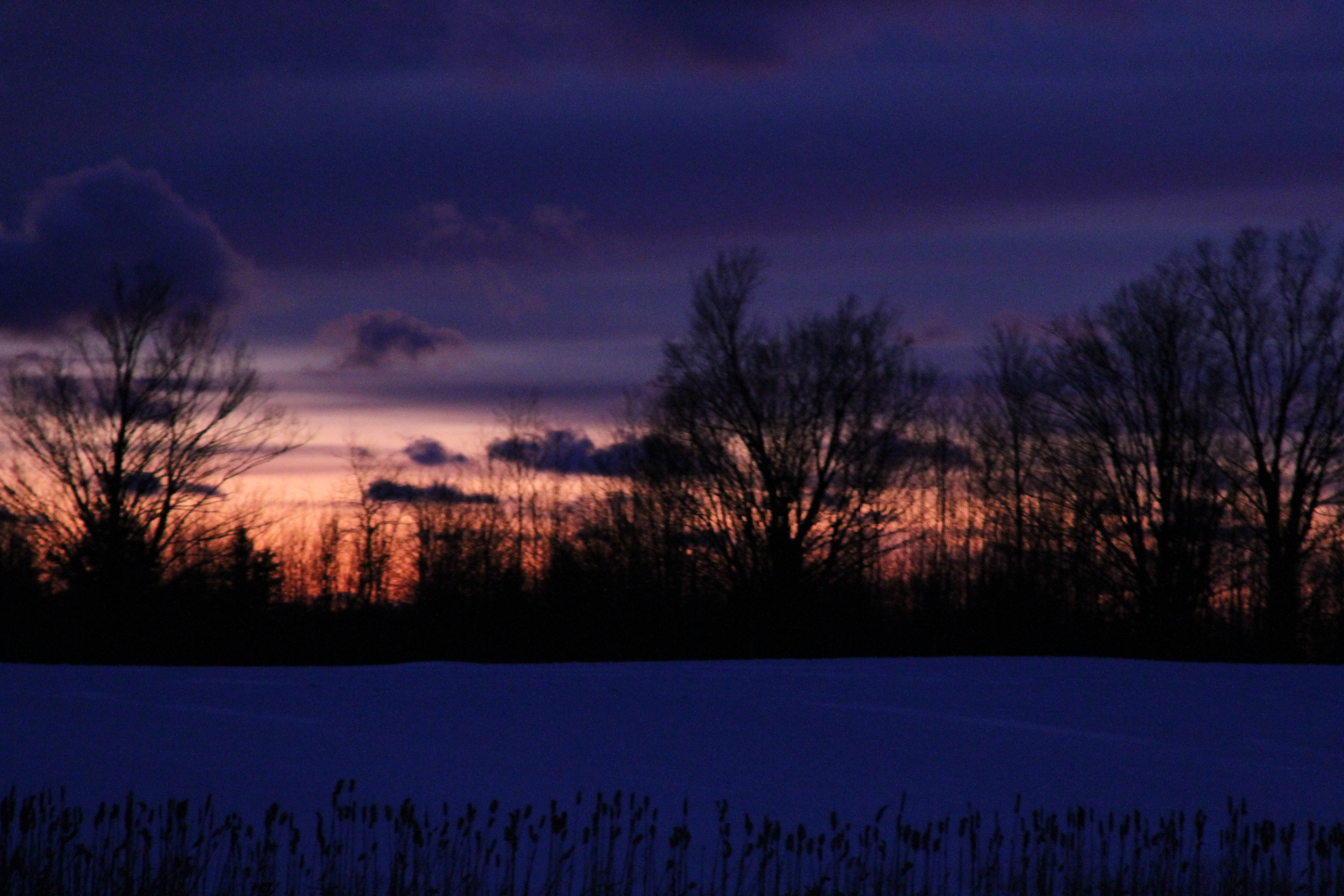
After Sunset

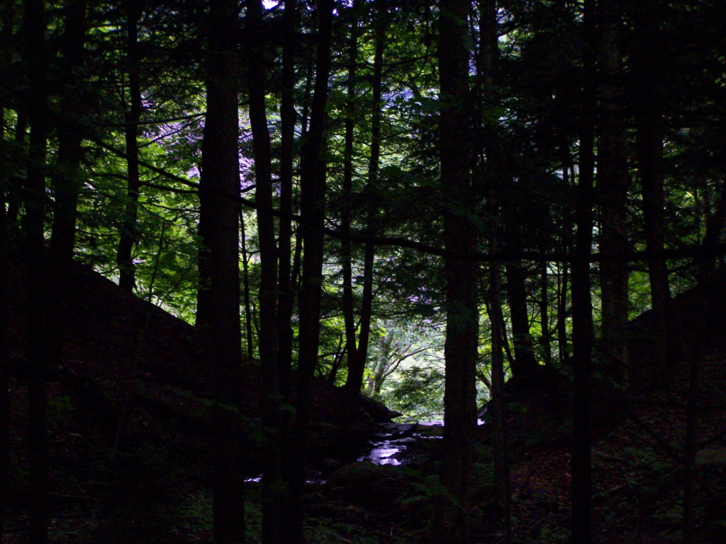
Walking at Inman Gulf
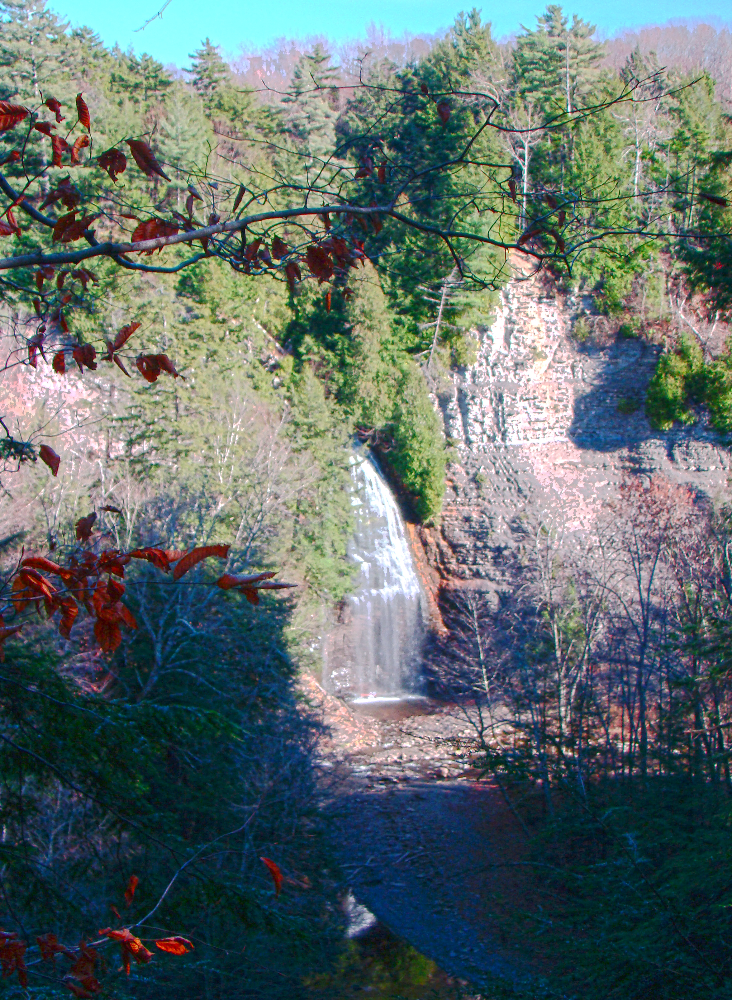
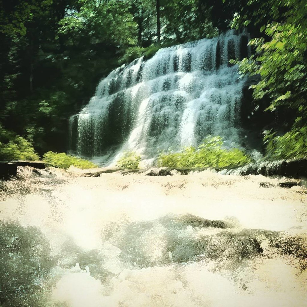
Rainbow Falls HDR
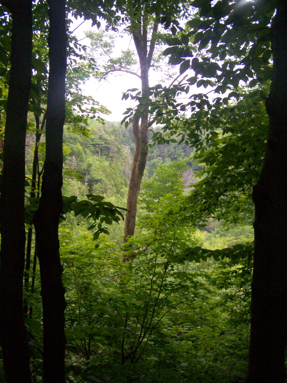
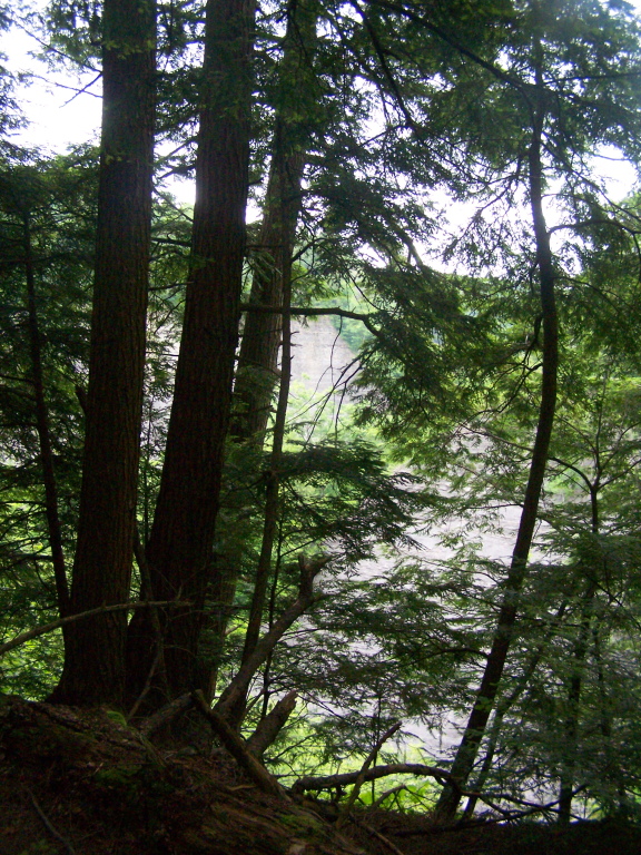
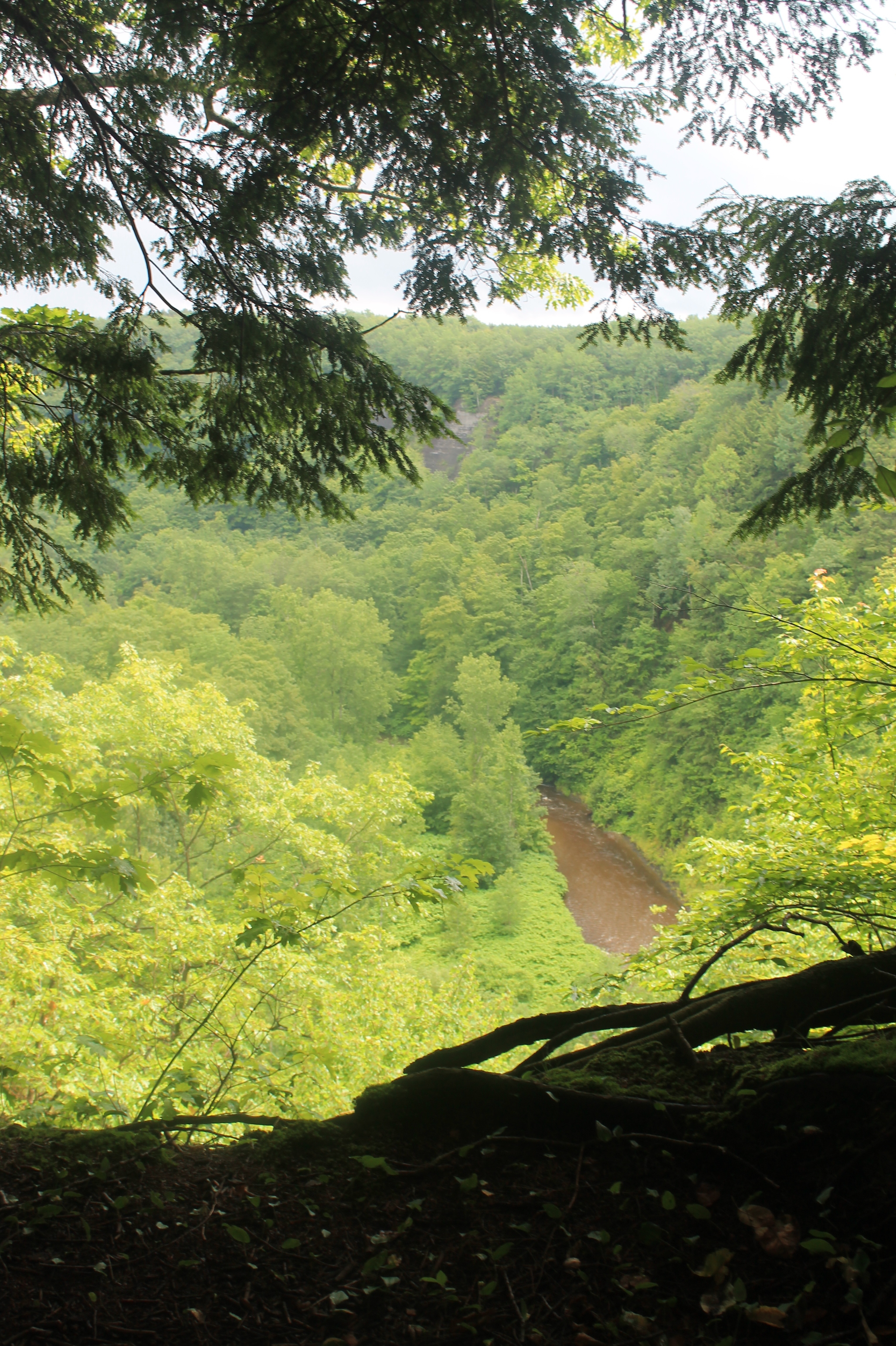
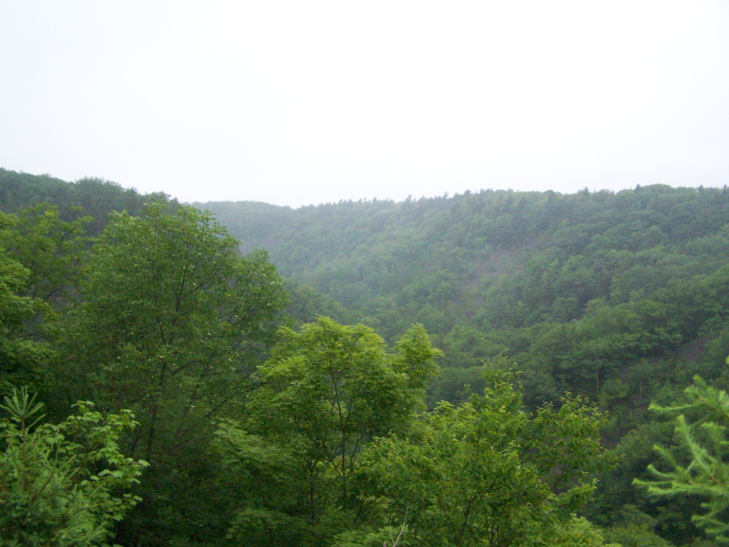
Peering Into the Gulf

Talcott Falls3
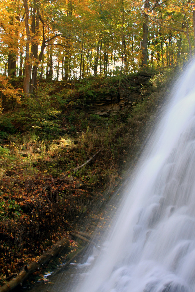
Talcott Falls
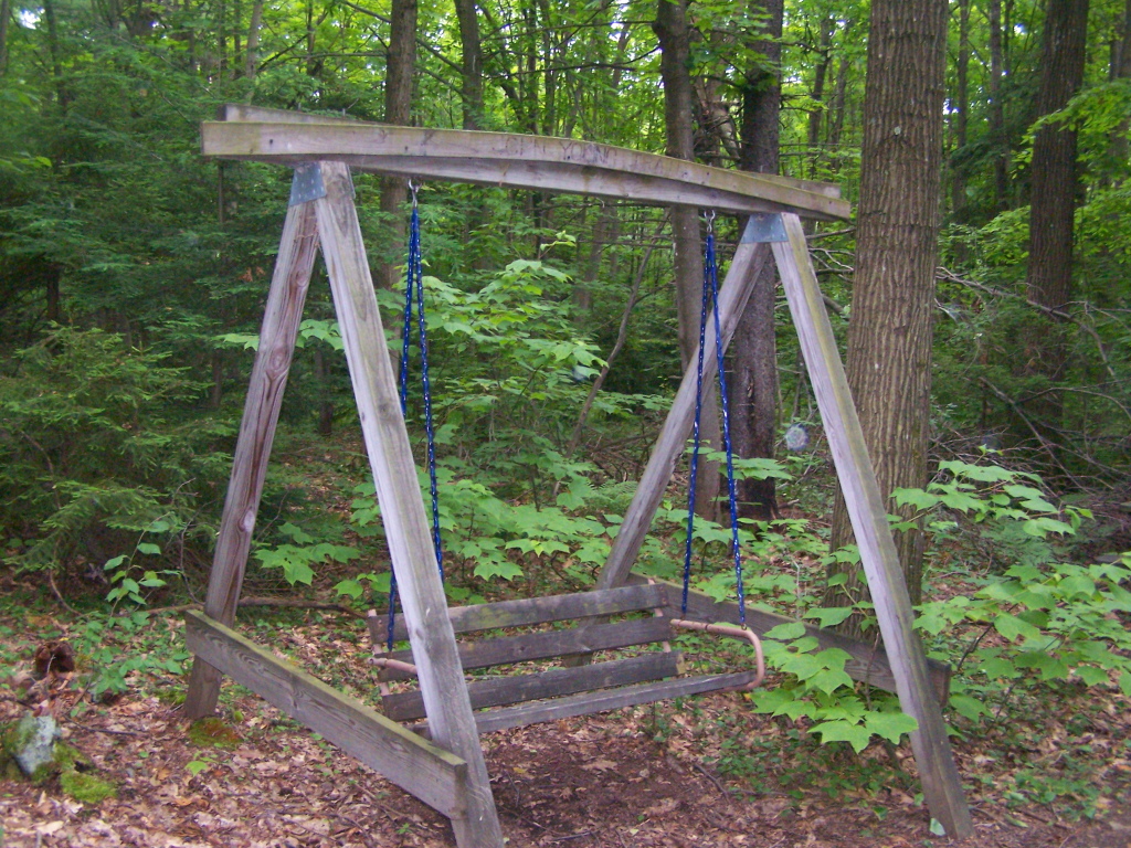
Swing Along Oak Ridge Trail
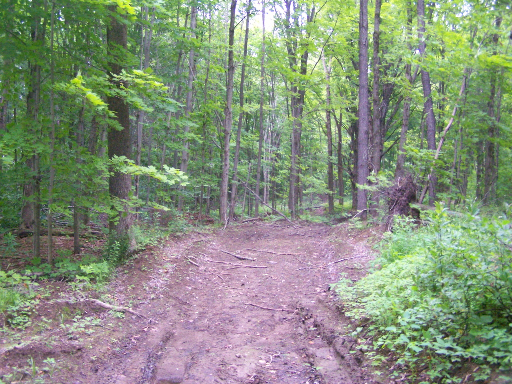
Hiking on Timber Road
The Gulf
Right on Edge of the Gulf
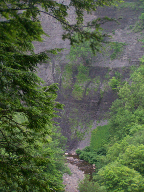
Inside the Gulf
Looking Into Inman Gulf
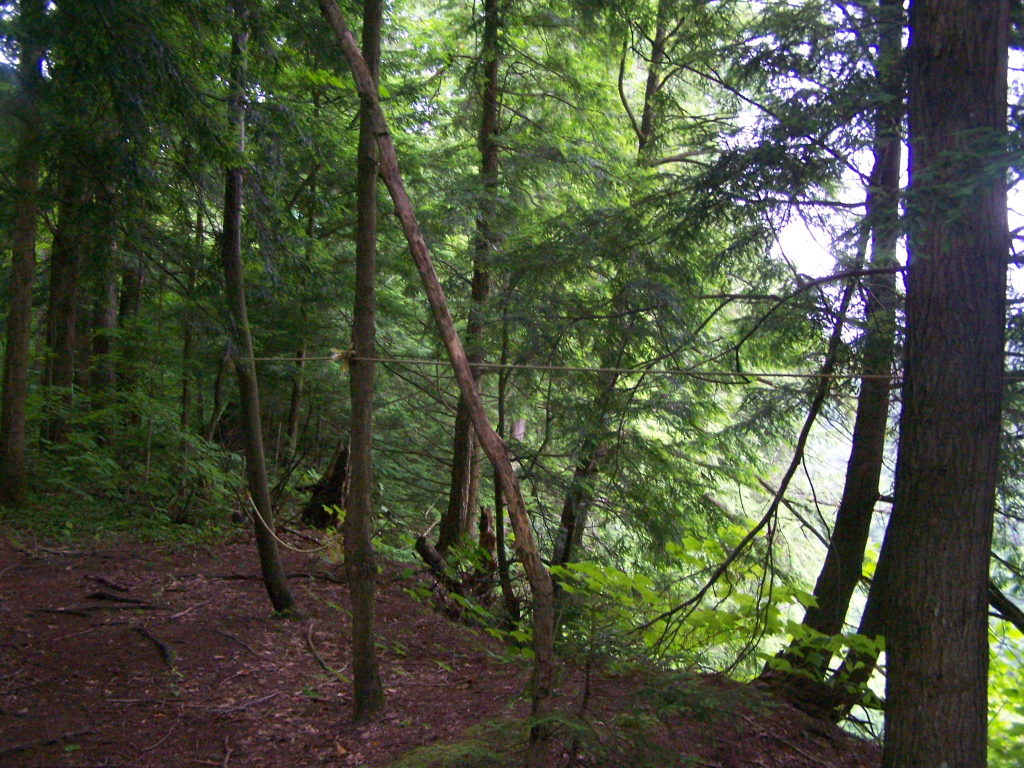
Walking Through Recently Thinned Forest
Gulf in Open Area Where Powerline Is

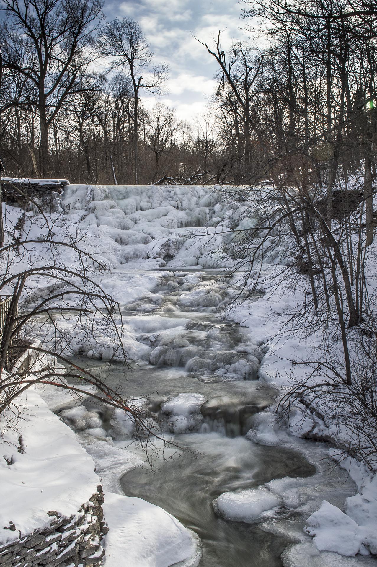
Burrville Cider Mill Falls

A better shot of Talcott Falls taken with my 5D.
Talcott Falls. #slowshutter #waterfall an in phone camera.
Burrville Falls
Topographic Map of Seven by Nine Rd, Copenhagen, NY, USA
Find elevation by address:

Places near Seven by Nine Rd, Copenhagen, NY, USA:
Barnes Corners
Pinckney
Worth
10947 Lowe Rd
Barnes Corners, NY, USA
Odell Rd, Copenhagen, NY, USA
County Rte, Lorraine, NY, USA
Watson Road
16601 Churchill Rd
Rodman
Rutland
Woodruff Settlement Road
Fralick Road
Watertown
3019 Mechanic St
22751/59
9967 Ny-12 #12
10265 Plank Rd
Copenhagen
7154 Van Dressen Rd
Recent Searches:
- Elevation of Fernwood, Bradenton, FL, USA
- Elevation of Felindre, Swansea SA5 7LU, UK
- Elevation of Leyte Industrial Development Estate, Isabel, Leyte, Philippines
- Elevation of W Granada St, Tampa, FL, USA
- Elevation of Pykes Down, Ivybridge PL21 0BY, UK
- Elevation of Jalan Senandin, Lutong, Miri, Sarawak, Malaysia
- Elevation of Bilohirs'k
- Elevation of 30 Oak Lawn Dr, Barkhamsted, CT, USA
- Elevation of Luther Road, Luther Rd, Auburn, CA, USA
- Elevation of Unnamed Road, Respublika Severnaya Osetiya — Alaniya, Russia