Elevation of Settler's Ln, Franklin, NC, USA
Location: United States > North Carolina > Macon County > Franklin > Franklin >
Longitude: -83.523061
Latitude: 35.2155679
Elevation: 713m / 2339feet
Barometric Pressure: 93KPa
Elevation Map:
Satellite Map:
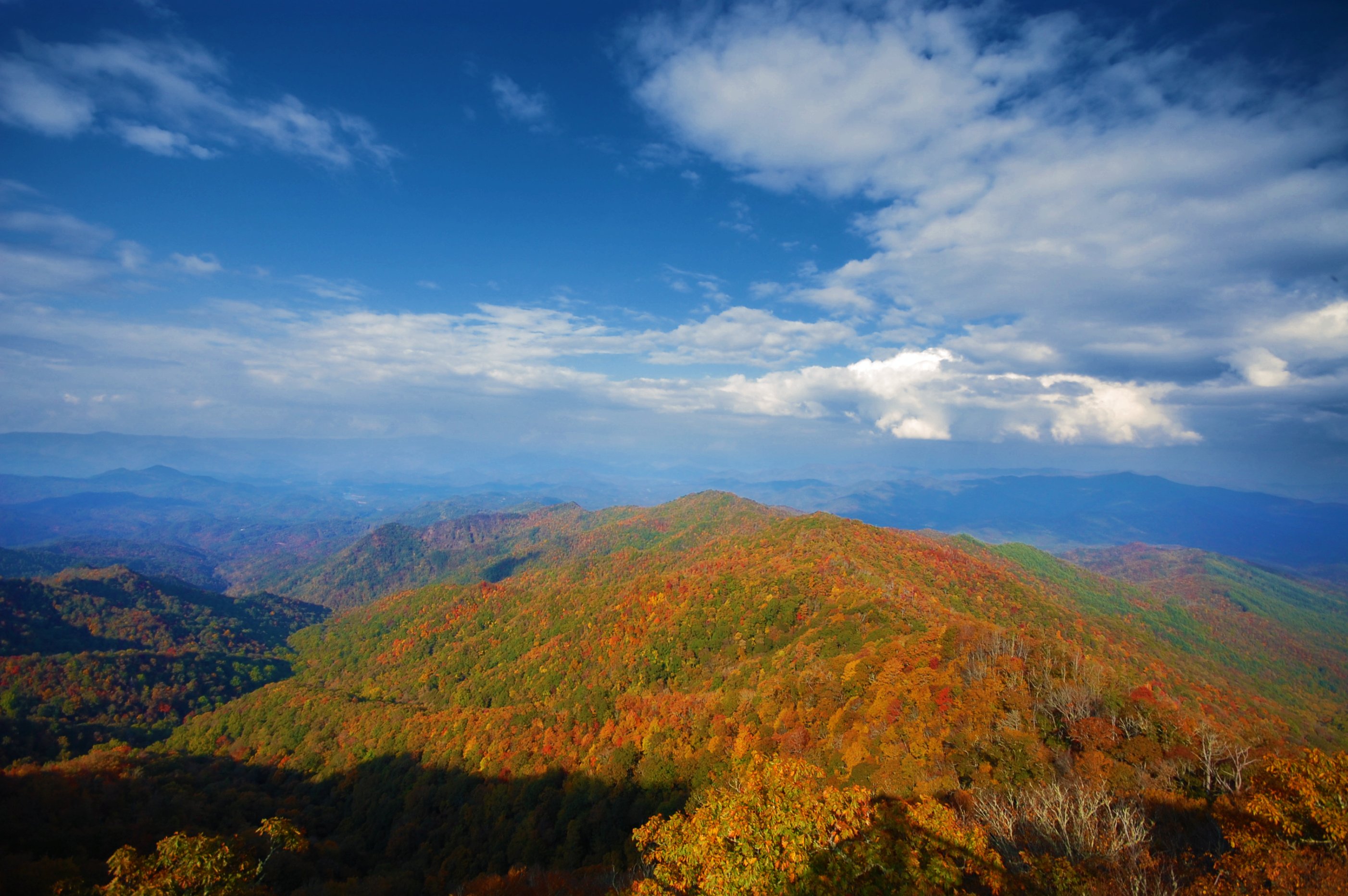
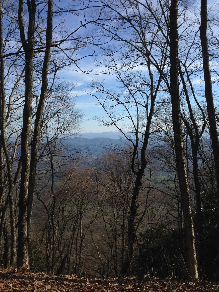
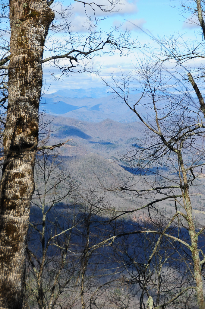
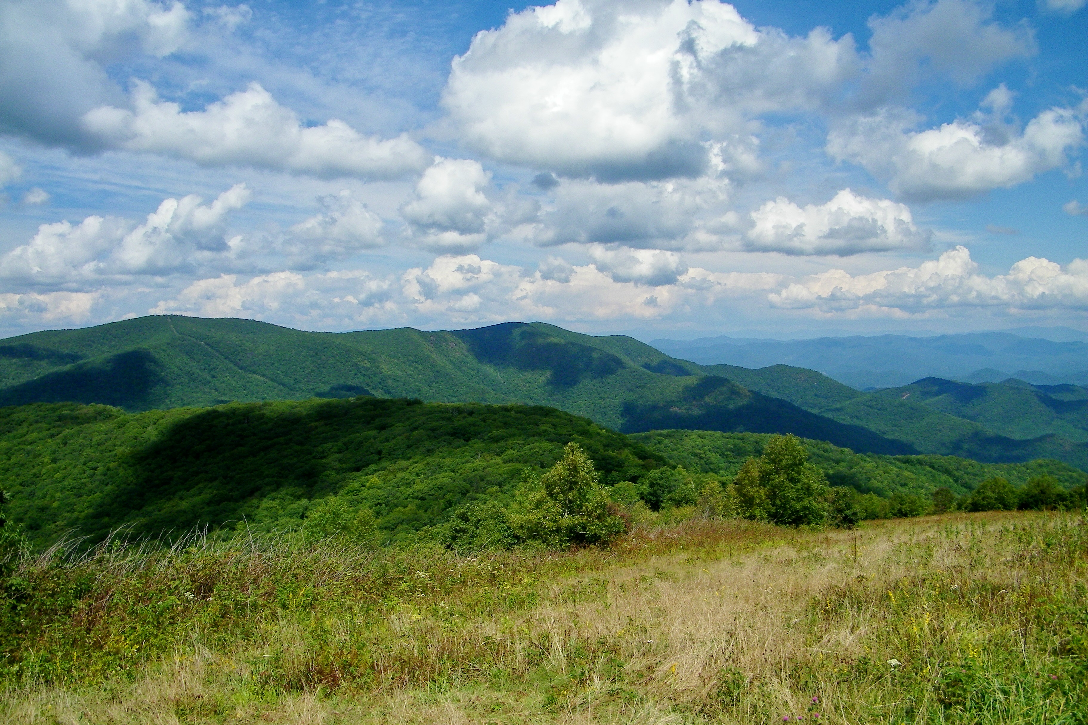
Related Photos:
I made it back from Heaven

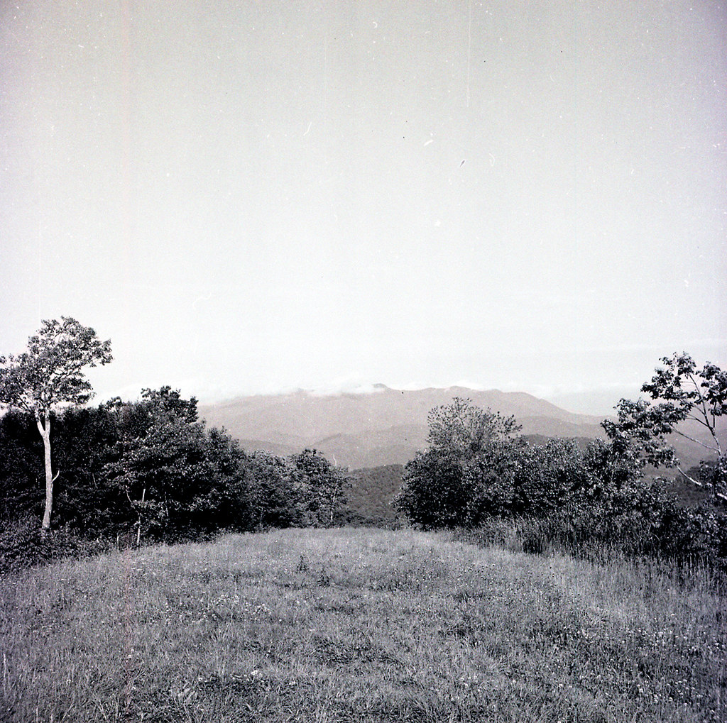
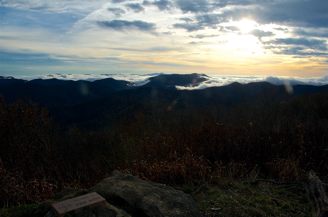
W4C/WM-024 - Siler Bald View
Halfway up Runaway Knob
View from W4C/WM-065 - Rocky Cove Knob

Fire Pink
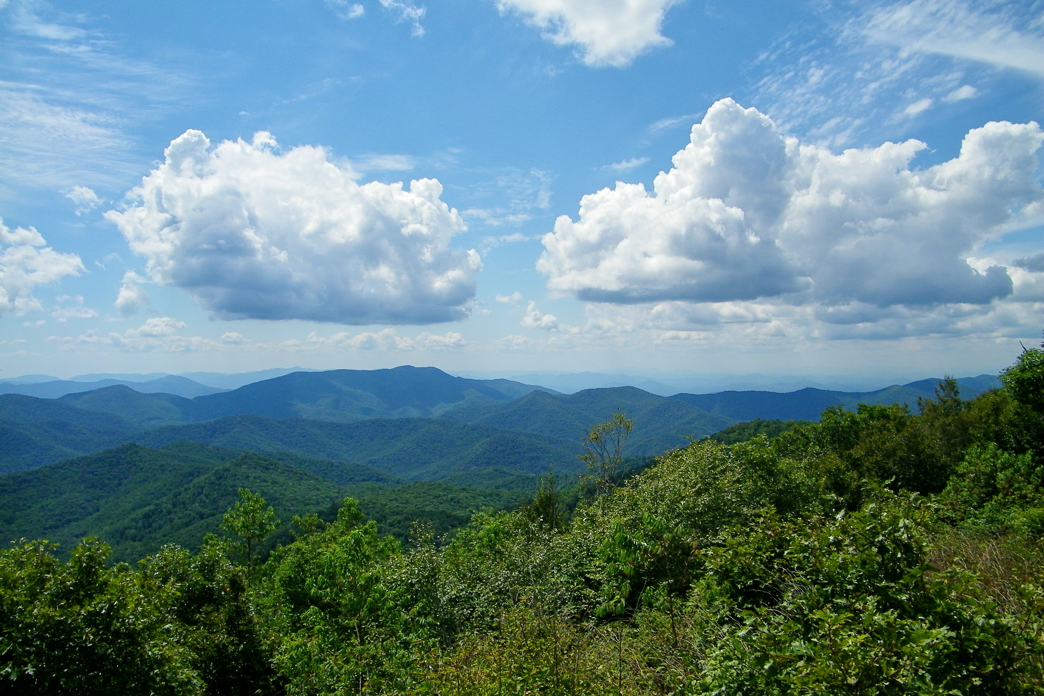
Silers Bald
img013_edited-1
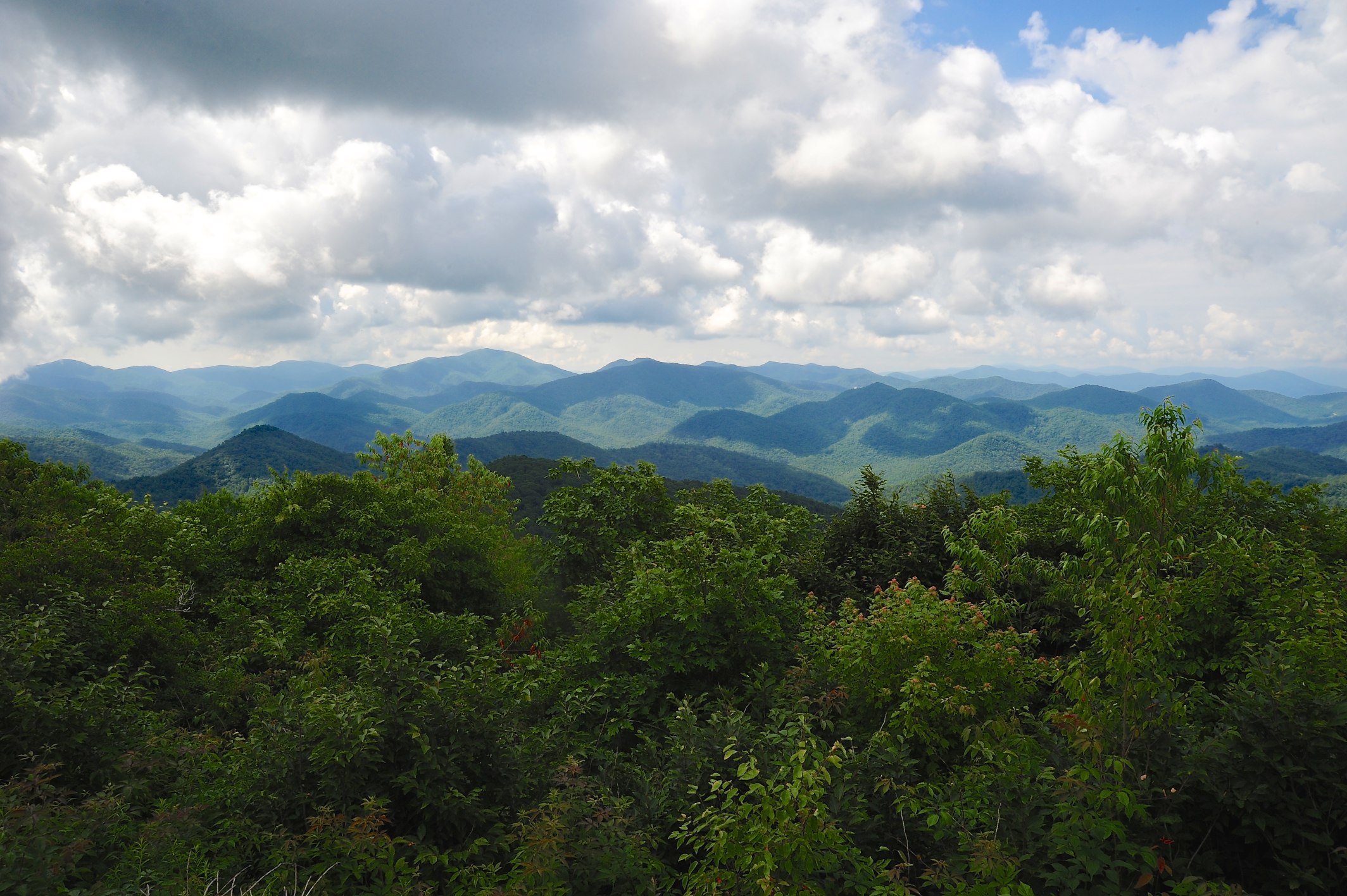
Silers Bald
QTH View on W4C/WM-024 - Siler Bald

Silers Bald
W4C/WM-024 - Siler Bald View

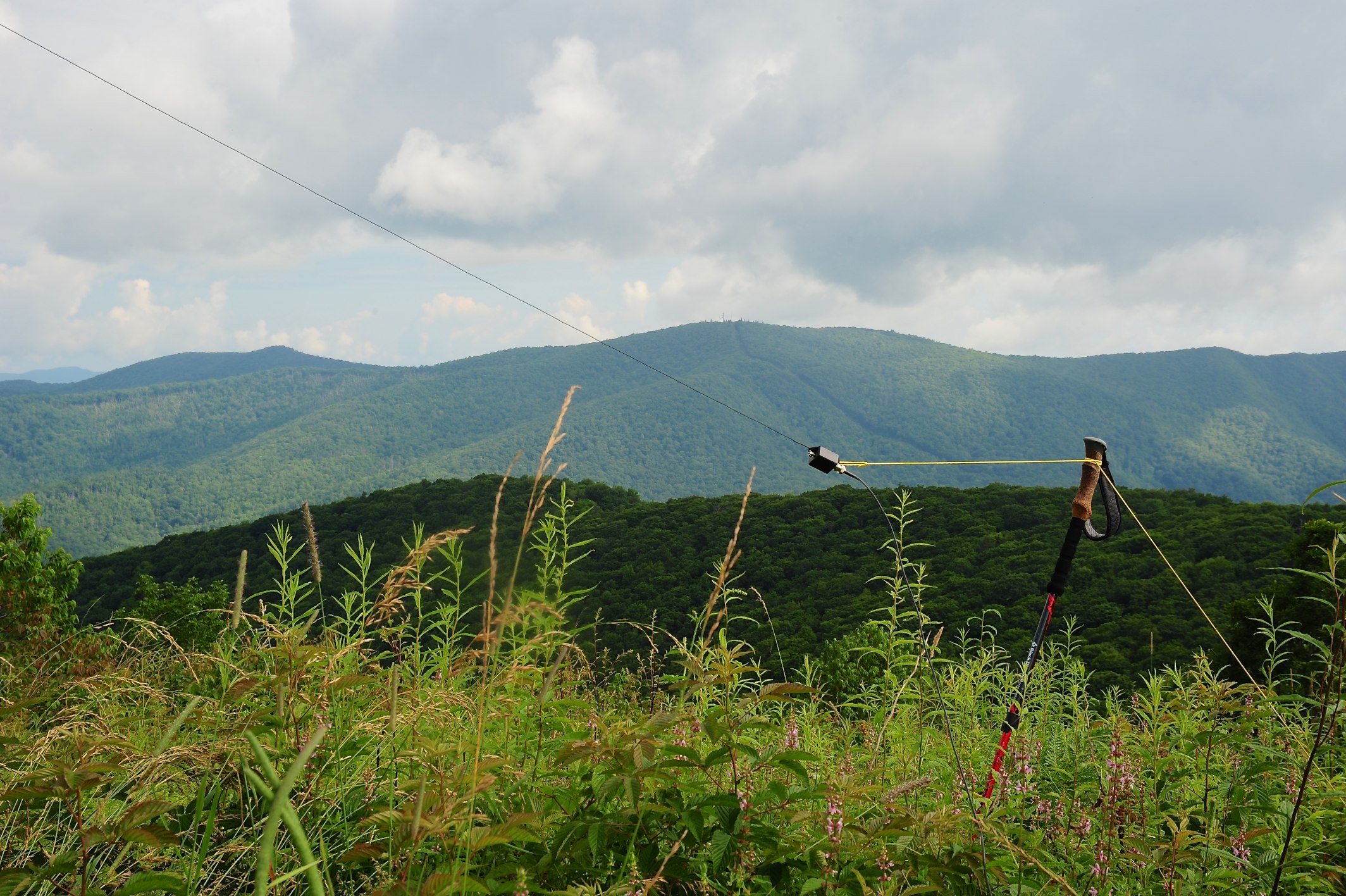
For when U need it
W4C/WM-024 - Siler Bald View
Silers Bald
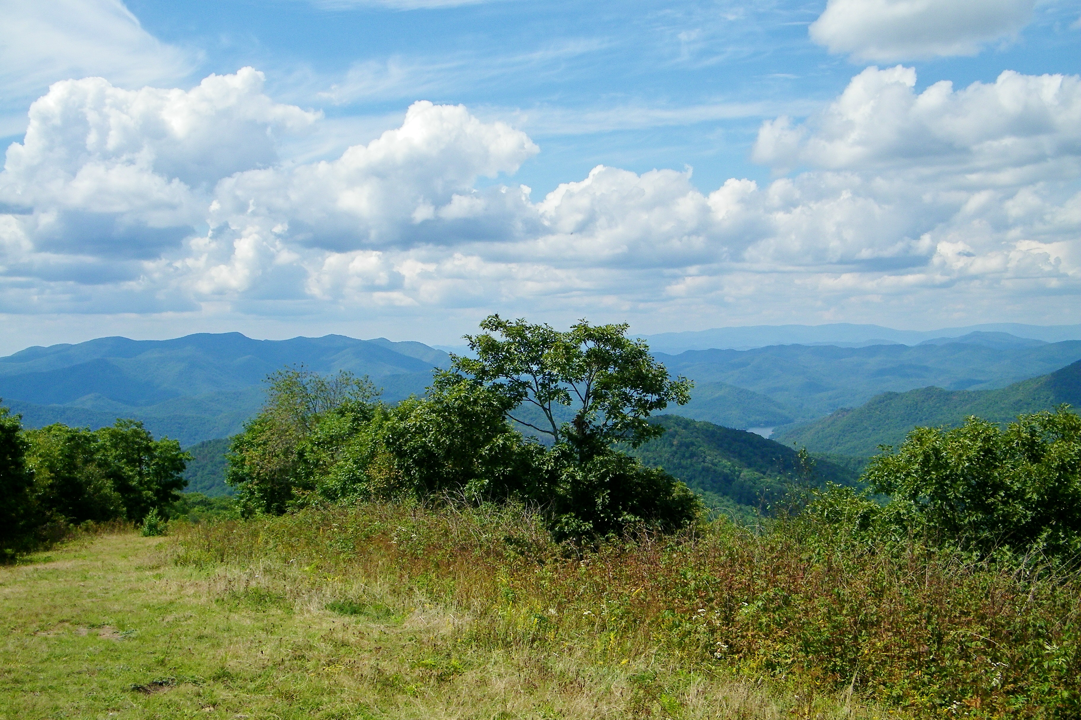
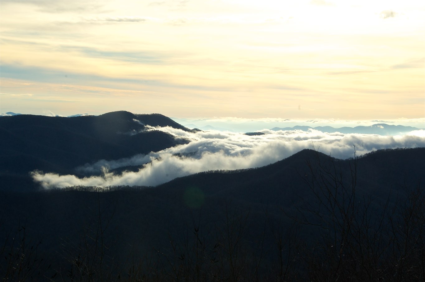
View from W4C/WM-024 - Siler Bald
W4C/WM-024 - Siler Bald View
Please no Pictures
The famous sign
Bridge View of the Nantahala.
Where the Paths Parted
Views from the train
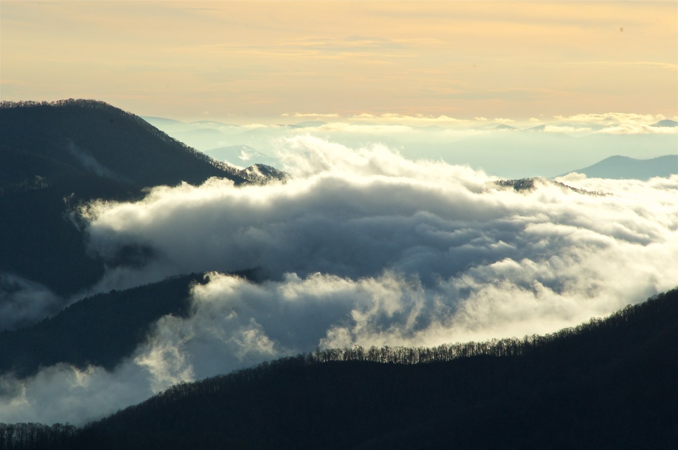
Mountain waves
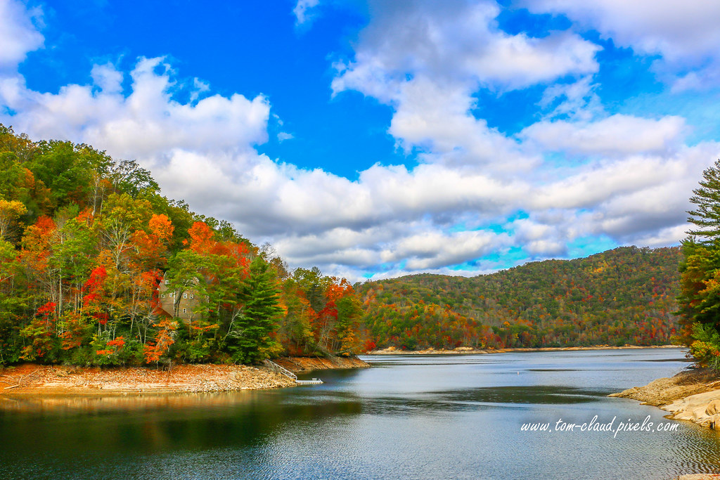
Home on the Lake #2
Nantahala River Gorge - Land of the Noon Day Sun
West View from Wesser Bald Observation Tower
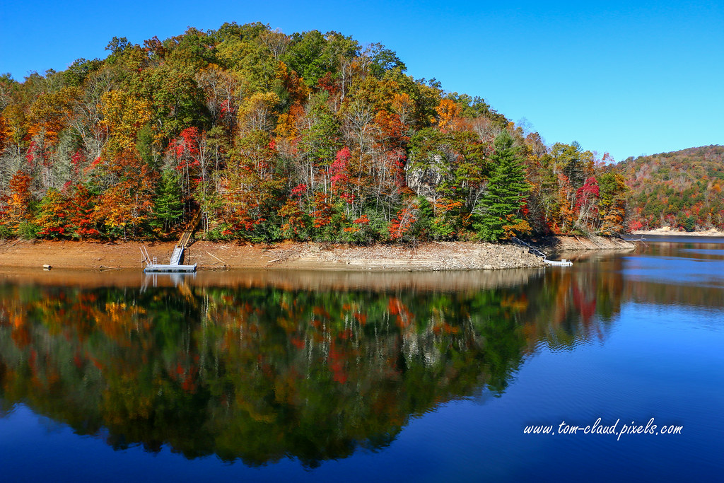
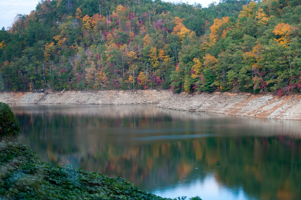
Fall Lake Peninsula
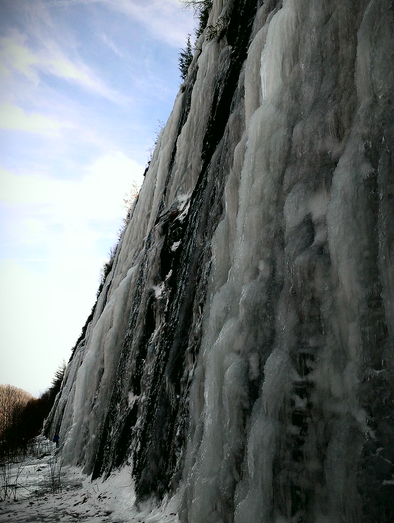
Interstate ice wall
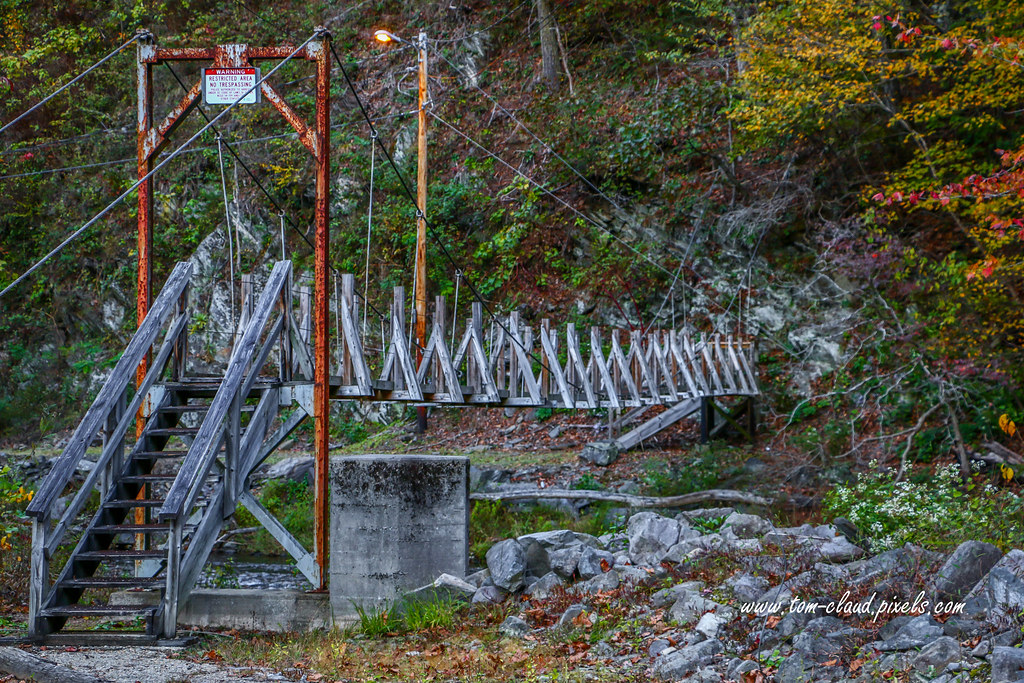
Restricted Footbridge
Between the river and the fog
Morning on Main Street
Interstate ice climbers
Ruby City
6 million dollar cabin
Lake Nantahala sunset

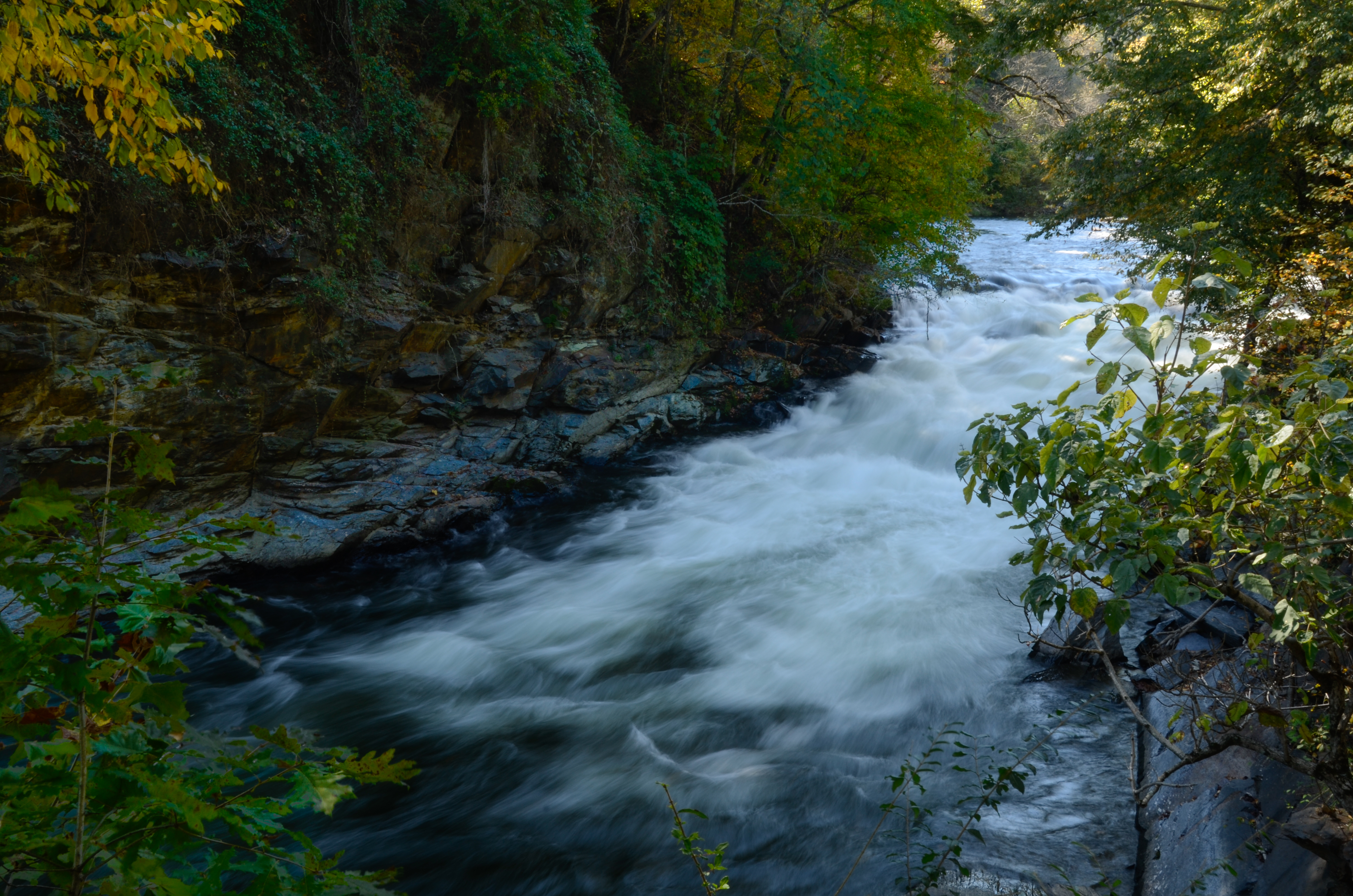
Rufus Morgan Falls
A River's Twilight

GSMR Rounding The Bend

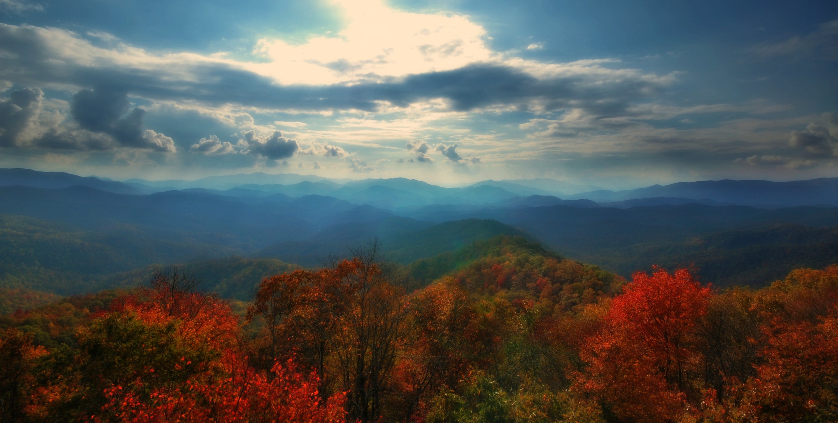
Fall colors
Well, this is obviously going to be popular
Wesser Bald Jeep Trail
Rufus Morgan Trailhead-8453
Topographic Map of Settler's Ln, Franklin, NC, USA
Find elevation by address:

Places near Settler's Ln, Franklin, NC, USA:
170 Settler's Ln
170 Settler's Ln
170 Settler's Ln
170 Settler's Ln
6496 Upper Burningtown Rd
204 Settler's Ln
373 Settler's Ln
19 Tumblewood Dr
7138 Upper Burningtown Rd
5899 Upper Burningtown Rd
746 Wilds Cove Rd
27 Ray Creek Rd
5496 Upper Burningtown Rd
433 Wilds Cove Rd
Burningtown
267 Burningtown Falls Rd
Burningtown Falls Road
63 Clampit Cove Rd
66 Clampit Cove Rd
3965 Olive Hill Rd
Recent Searches:
- Elevation of W Granada St, Tampa, FL, USA
- Elevation of Pykes Down, Ivybridge PL21 0BY, UK
- Elevation of Jalan Senandin, Lutong, Miri, Sarawak, Malaysia
- Elevation of Bilohirs'k
- Elevation of 30 Oak Lawn Dr, Barkhamsted, CT, USA
- Elevation of Luther Road, Luther Rd, Auburn, CA, USA
- Elevation of Unnamed Road, Respublika Severnaya Osetiya — Alaniya, Russia
- Elevation of Verkhny Fiagdon, North Ossetia–Alania Republic, Russia
- Elevation of F. Viola Hiway, San Rafael, Bulacan, Philippines
- Elevation of Herbage Dr, Gulfport, MS, USA