Elevation of Serra, Serra - ES, Brazil
Location: Brazil > State Of Espírito Santo > Serra >
Longitude: -40.307789
Latitude: -20.121522
Elevation: 63m / 207feet
Barometric Pressure: 101KPa
Elevation Map:
Satellite Map:
Related Photos:
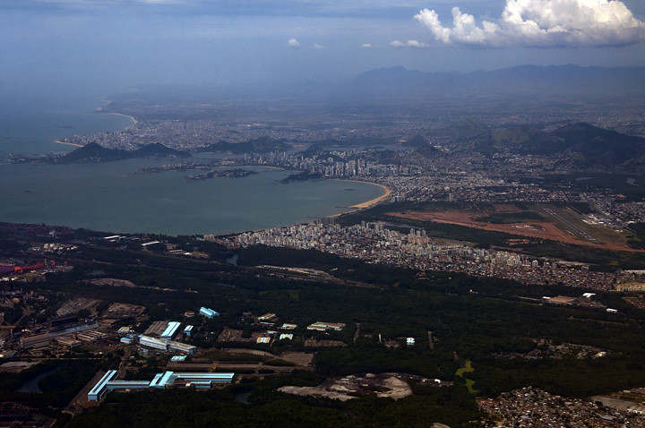
Vitória / Vila Velha: aérea
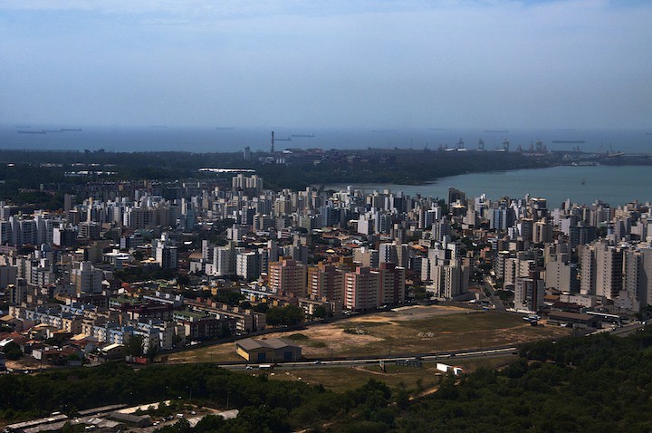
Prédios de Vitória e porto de Tubarão
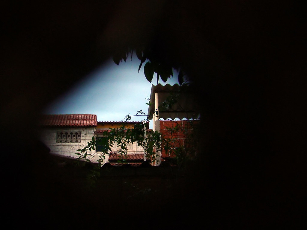
Buraco / Hole
Topographic Map of Serra, Serra - ES, Brazil
Find elevation by address:

Places in Serra, Serra - ES, Brazil:
Places near Serra, Serra - ES, Brazil:
Lorencar Br 101 Serv 13
Serra
Rodovia Br-101 Norte
Av. Central, - Jardim Tropical, Serra - ES, Brazil
Makro - Loja Serra
Jardim Carapina
Rua João Neiva
R. dos Inhambus, 15 - Costa Bela, Serra - ES, -, Brazil
Costa Bela
Elevation Lifestyle Wear
ES-, 11 - Mirante da Praia, Fundão - ES, -, Brazil
Mirante Da Praia
Fundão
Vitoria
R. Um, 7 - Antônio Ferreira Borges, Cariacica - ES, Brazil
Av. João Francisco Gonçalves, - Cobilândia, Vila Velha - ES, Brazil
R. Santa Helena, 9 - Campo Verde, Viana - ES, -, Brazil
Ibiraçu
Rod. Pres. Costa e Silva, 13, Viana - ES, -, Brazil
Viana
Recent Searches:
- Elevation of Corso Fratelli Cairoli, 35, Macerata MC, Italy
- Elevation of Tallevast Rd, Sarasota, FL, USA
- Elevation of 4th St E, Sonoma, CA, USA
- Elevation of Black Hollow Rd, Pennsdale, PA, USA
- Elevation of Oakland Ave, Williamsport, PA, USA
- Elevation of Pedrógão Grande, Portugal
- Elevation of Klee Dr, Martinsburg, WV, USA
- Elevation of Via Roma, Pieranica CR, Italy
- Elevation of Tavkvetili Mountain, Georgia
- Elevation of Hartfords Bluff Cir, Mt Pleasant, SC, USA