Elevation of Serena Township, IL, USA
Location: United States > Illinois > Lasalle County >
Longitude: -88.768638
Latitude: 41.4947122
Elevation: 175m / 574feet
Barometric Pressure: 99KPa
Elevation Map:
Satellite Map:
Related Photos:

06/22/16 Northern Illinois Outbreak
2011-03-26 06.36.23

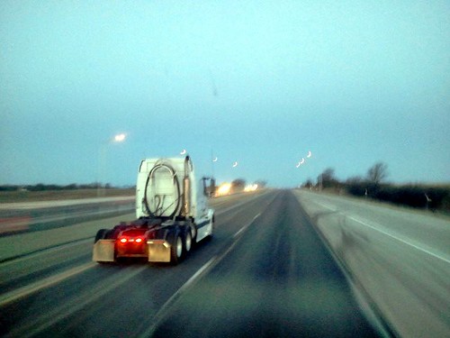
Rt. 71 Barns

2011-03-26 06.38.15
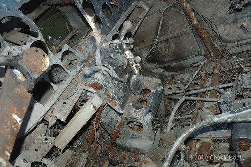
Controls and misc in cockpit
2011-03-26 06.35.56

2011-03-26 06.44.08
2011-03-26 06.35.45
2011-03-26 06.36.04
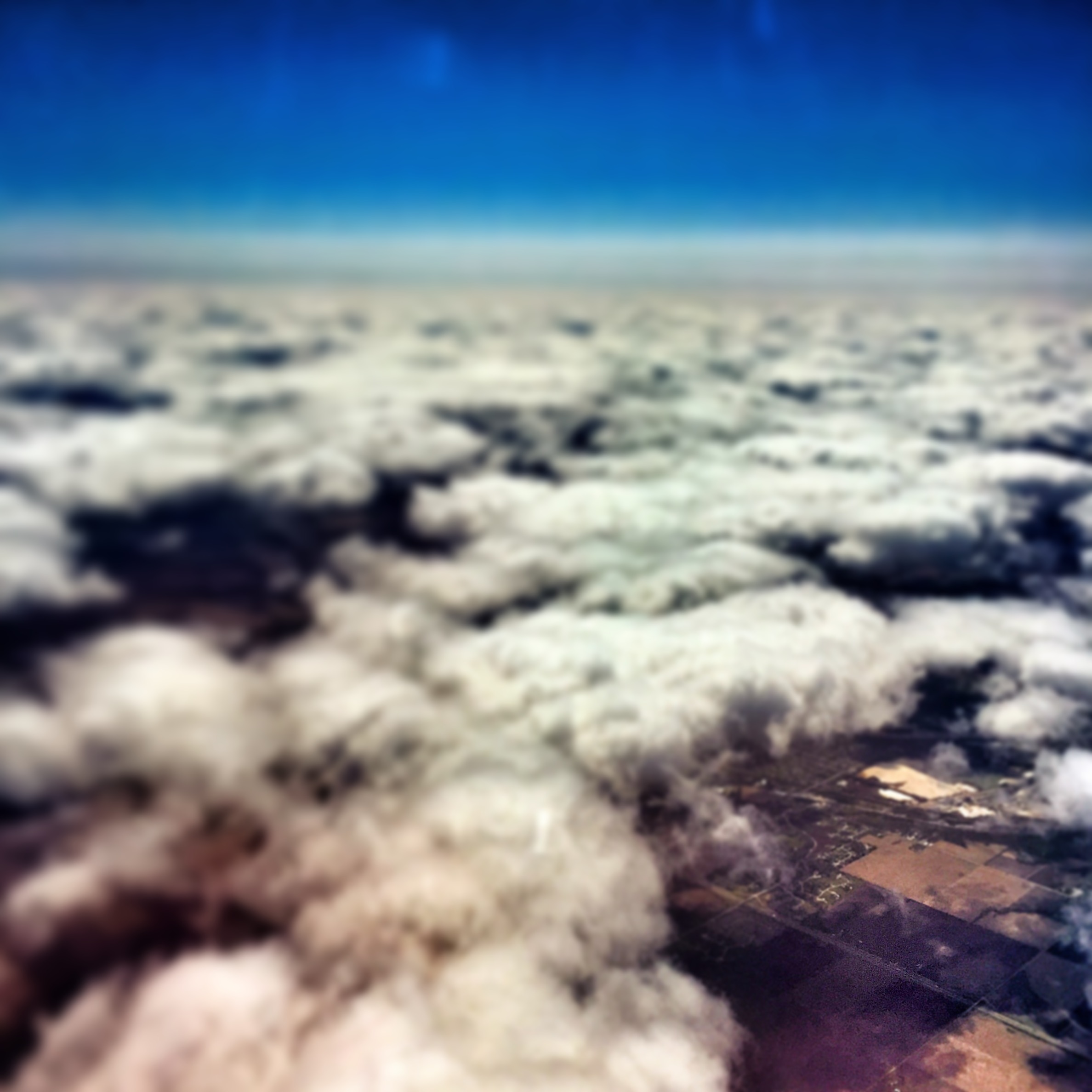
Up in the air
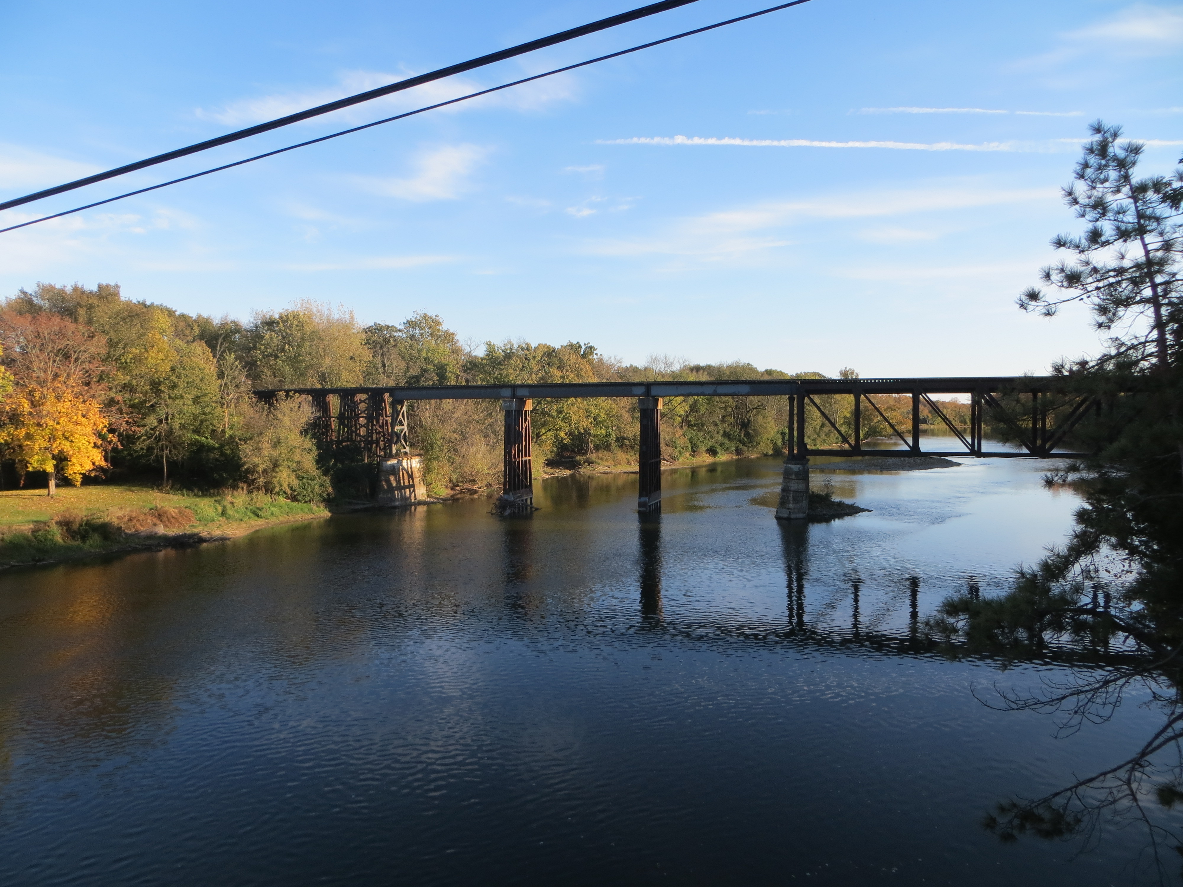
20131027 49 Illinois Railway crossing Fox River
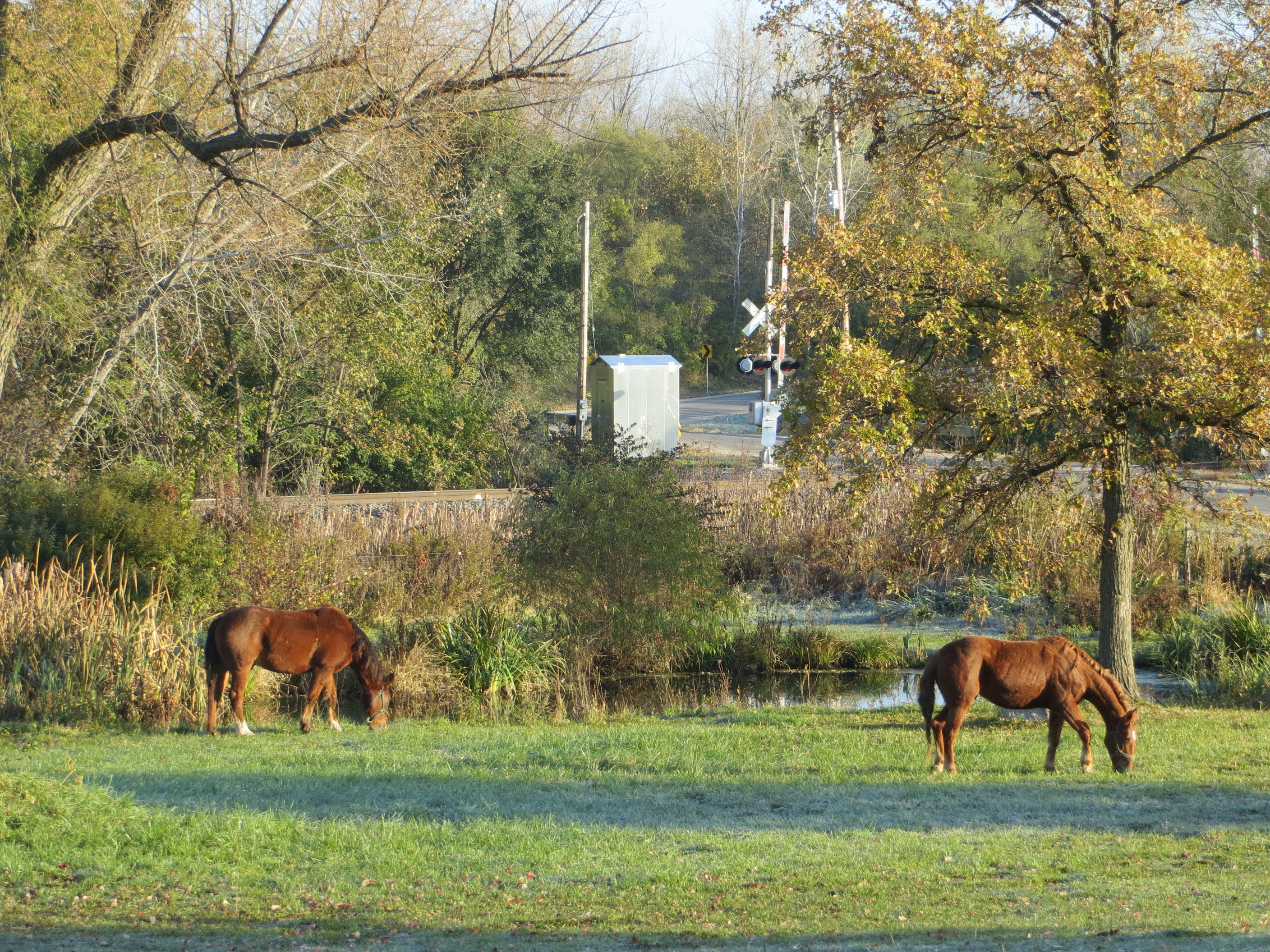
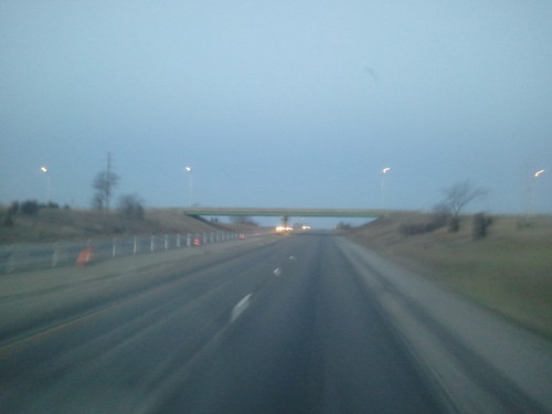
20131028 13 Rural Illinois

Millington Tracks

Trike landing at sunset
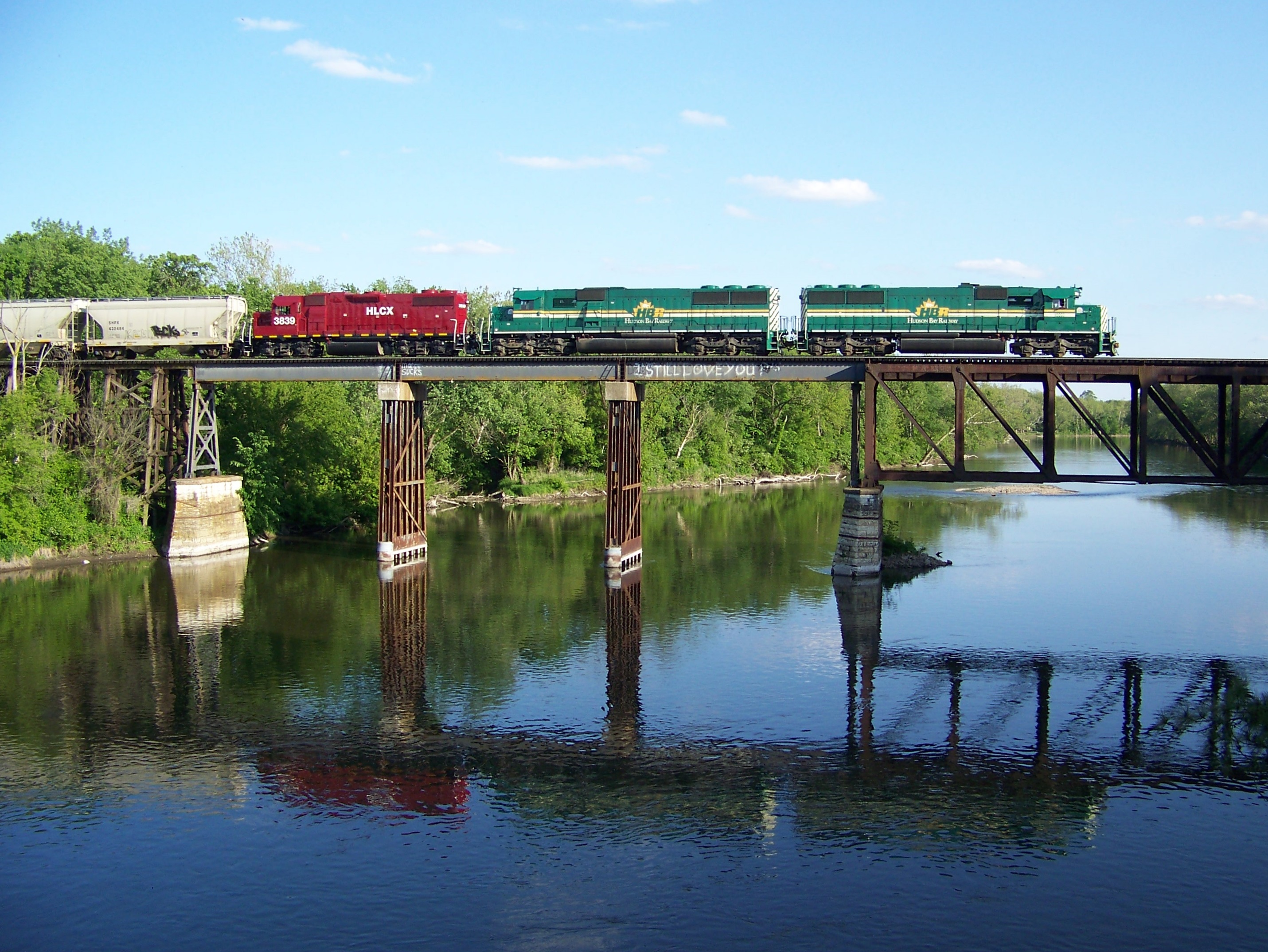
Railnet Reflections
41st Rd
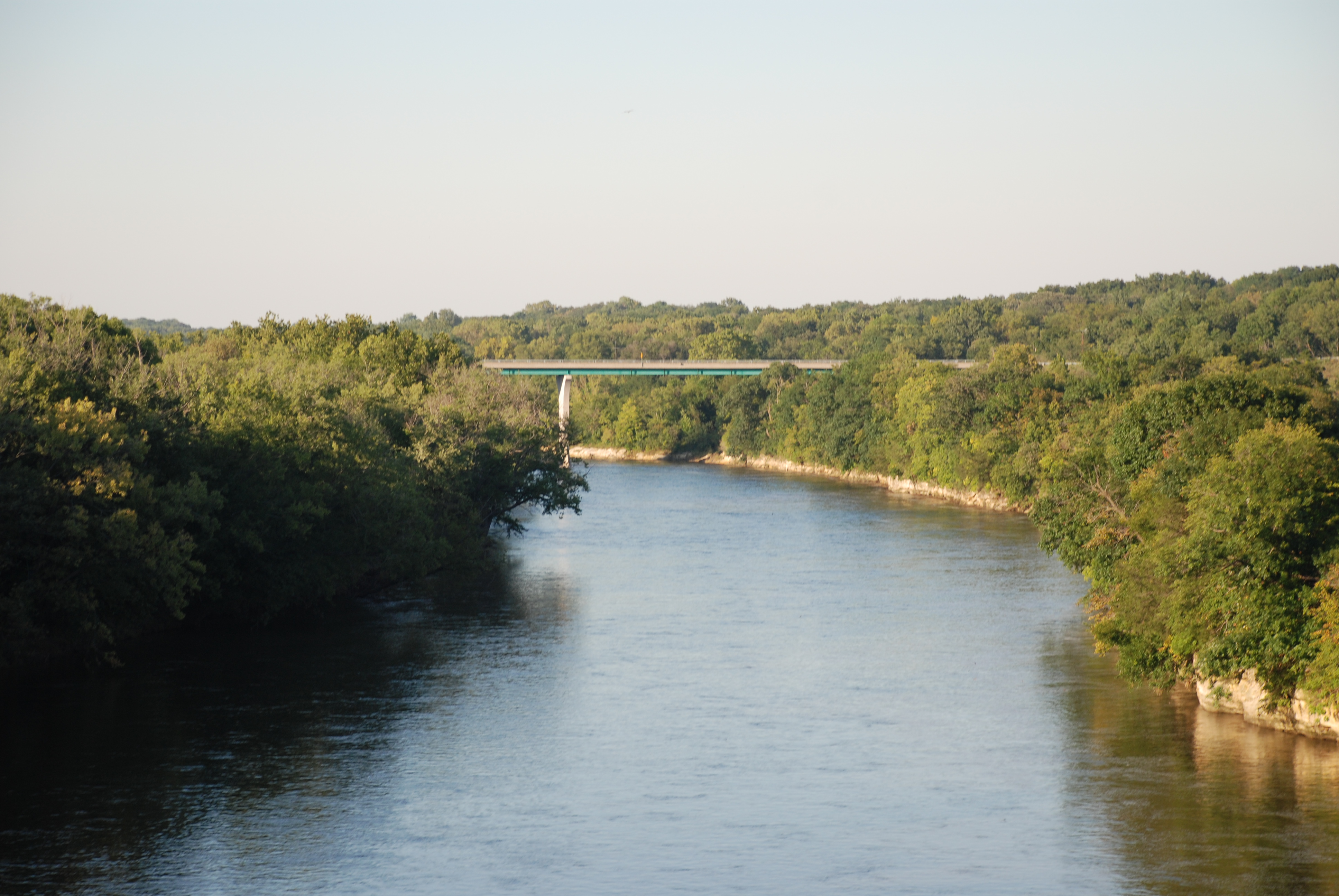
Fox River - Dayton IL

78. old

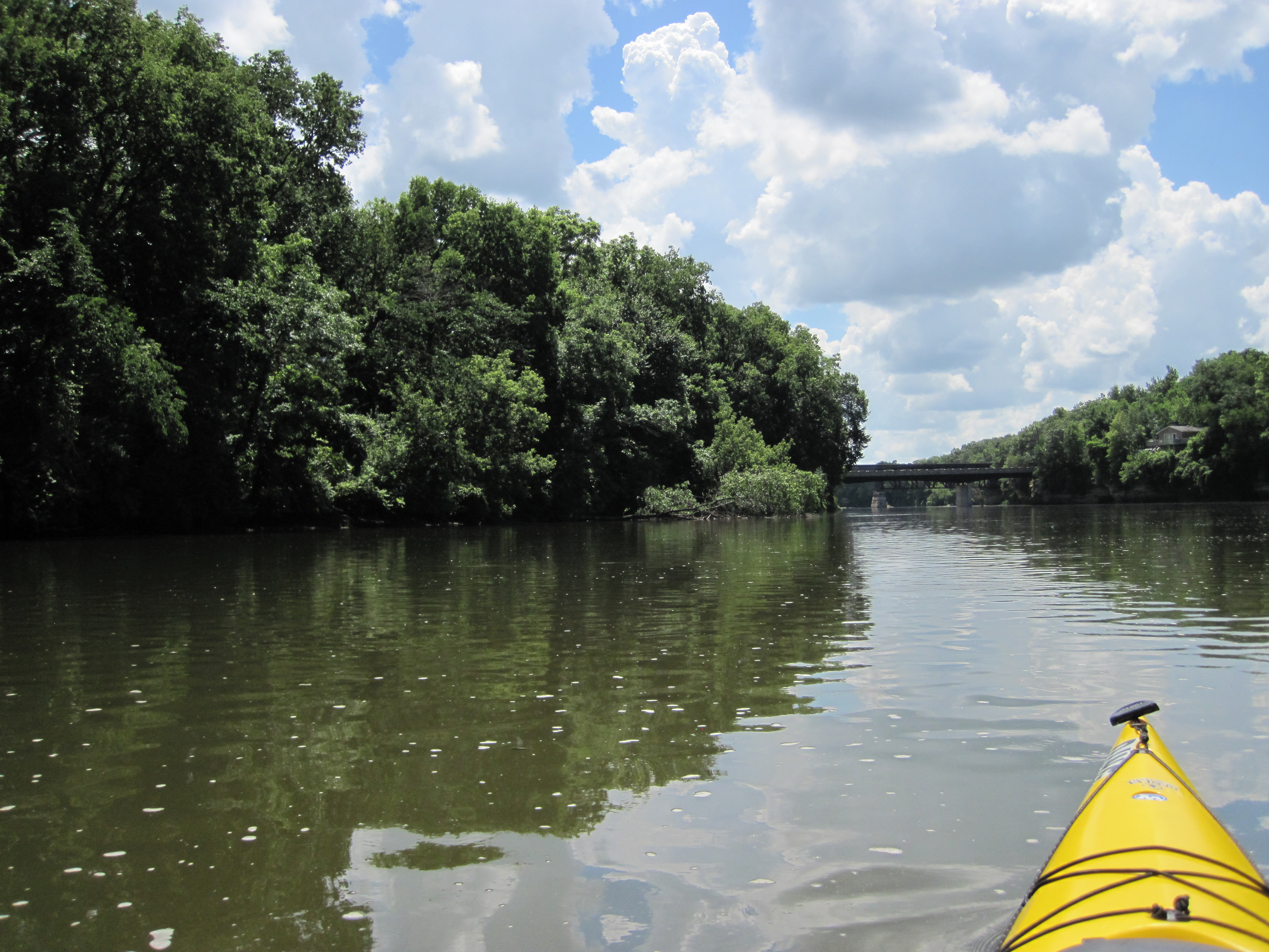
FoxRiverKayak110809-080027

FoxRiverKayak102409-240033
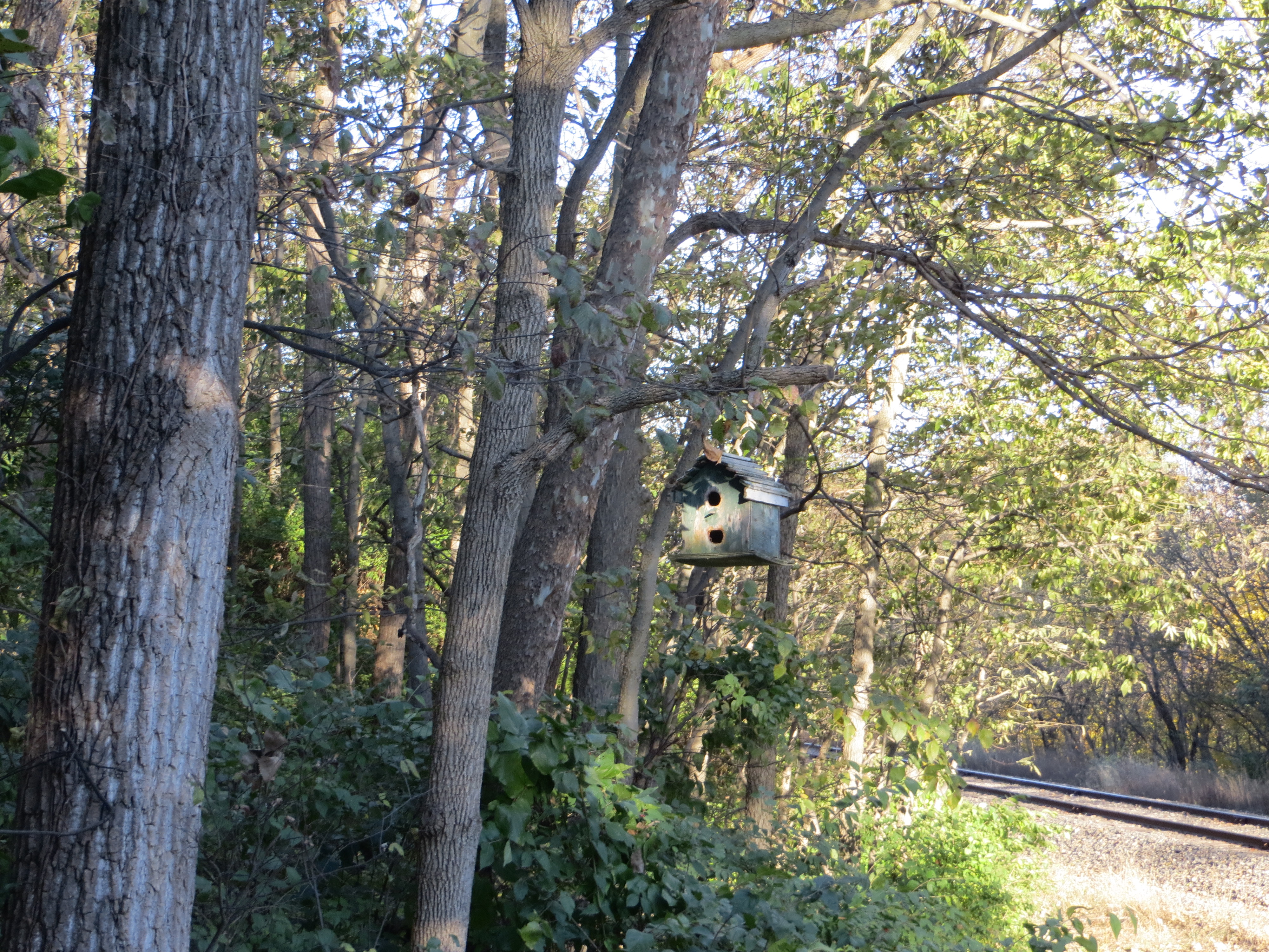
20131027 48 Birdhouse near Sheridan, Illinois

Lois Landing Takeout
090919_033-Shot from the take-out point

Rt. 71 Barns
Topographic Map of Serena Township, IL, USA
Find elevation by address:

Places in Serena Township, IL, USA:
Places near Serena Township, IL, USA:
Serena
Adams Township
East 21st Road
E st Rd, Sheridan, IL, USA
Sheridan
Mission Township
Leland
S Main St, Leland, IL, USA
Northville Township
555 Moore St
S Gage St, Somonauk, IL, USA
Somonauk
North Somonauk Road
4440 E 29th Rd
31 Countryside Estates
706 W Sycamore St
Millington
Paw Paw Township
Sandwich
7 E Center St, Sandwich, IL, USA
Recent Searches:
- Elevation of Congressional Dr, Stevensville, MD, USA
- Elevation of Bellview Rd, McLean, VA, USA
- Elevation of Stage Island Rd, Chatham, MA, USA
- Elevation of Shibuya Scramble Crossing, 21 Udagawacho, Shibuya City, Tokyo -, Japan
- Elevation of Jadagoniai, Kaunas District Municipality, Lithuania
- Elevation of Pagonija rock, Kranto 7-oji g. 8"N, Kaunas, Lithuania
- Elevation of Co Rd 87, Jamestown, CO, USA
- Elevation of Tenjo, Cundinamarca, Colombia
- Elevation of Côte-des-Neiges, Montreal, QC H4A 3J6, Canada
- Elevation of Bobcat Dr, Helena, MT, USA