Elevation of Sembulichanpatti, Tamil Nadu, India
Location: India > Tamil Nadu > Tiruchirappalli >
Longitude: 78.6591988
Latitude: 11.2566386
Elevation: 723m / 2372feet
Barometric Pressure: 93KPa
Elevation Map:
Satellite Map:
Related Photos:

IMG_0805
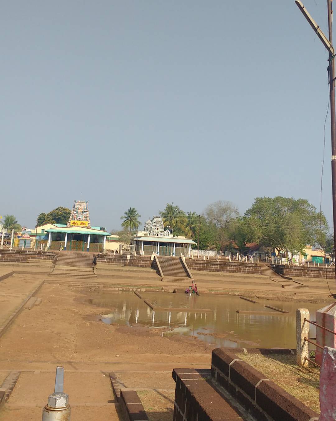
Sivan koil

IN-CS-00095

My hostel....

Afternoon nap
Topographic Map of Sembulichanpatti, Tamil Nadu, India
Find elevation by address:

Places near Sembulichanpatti, Tamil Nadu, India:
Valaiyur R.f.
Vannadu
Sengattur R.f.
Koraiyaru Falls
Karrupankaduthittu R.f.
Kaliamman Koil Thittu R.f.
Mayil Ootru Waterfalls
Malayappatti
Top Sengattupatti
Solamathi R.f.
Mangalam Water Falls
Methagam View Point, Pachamalai
Pachamalai
Pachamalai Hill
Kanapadikannimar-sholai R.f.
Kokkuvarai View Point
Shri Perumal Temple,punavarai
Neivasal Malai Perumal Temple
Sobanapuram
T.kanapadi R.f.
Recent Searches:
- Elevation of Yellow Springs Road, Yellow Springs Rd, Chester Springs, PA, USA
- Elevation of Rēzekne Municipality, Latvia
- Elevation of Plikpūrmaļi, Vērēmi Parish, Rēzekne Municipality, LV-, Latvia
- Elevation of 2 Henschke Ct, Caboolture QLD, Australia
- Elevation of Redondo Ave, Long Beach, CA, USA
- Elevation of Sadovaya Ulitsa, 20, Rezh, Sverdlovskaya oblast', Russia
- Elevation of Ulitsa Kalinina, 79, Rezh, Sverdlovskaya oblast', Russia
- Elevation of 72-31 Metropolitan Ave, Middle Village, NY, USA
- Elevation of 76 Metropolitan Ave, Brooklyn, NY, USA
- Elevation of Alisal Rd, Solvang, CA, USA