Elevation of Selma Pike, South Charleston, OH, USA
Location: United States > Ohio > Clark County > Madison Township > South Charleston >
Longitude: -83.70816
Latitude: 39.786556
Elevation: 338m / 1109feet
Barometric Pressure: 97KPa
Elevation Map:
Satellite Map:
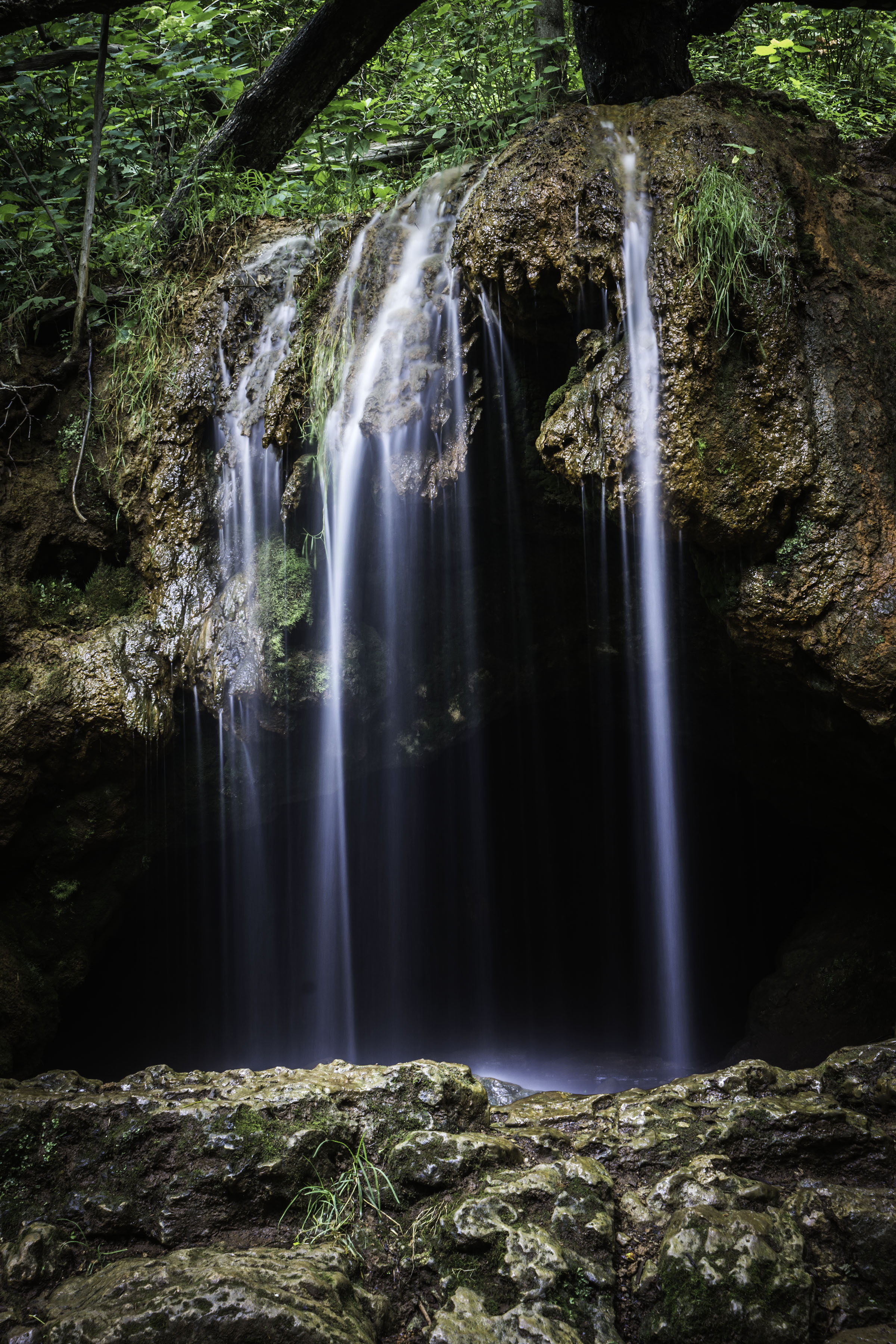
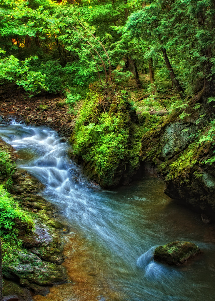
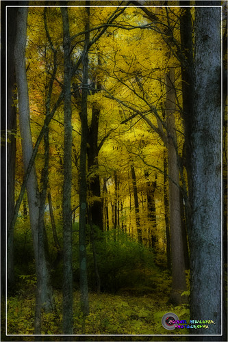
Related Photos:

View of a post

Goddess of the Flowers

Painted Bench 2 (3D)
Glen Helen
After hours
View of the web
Please, Step On In | Yellow Springs, Ohio
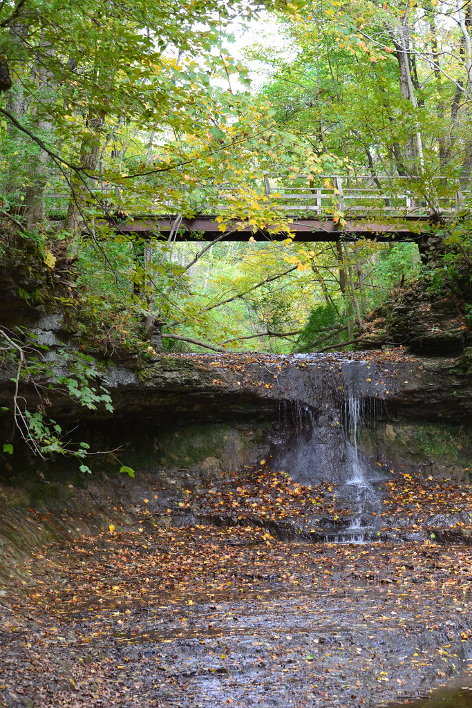
Hidden Bridge in the Glen | Yellow Springs, Ohio
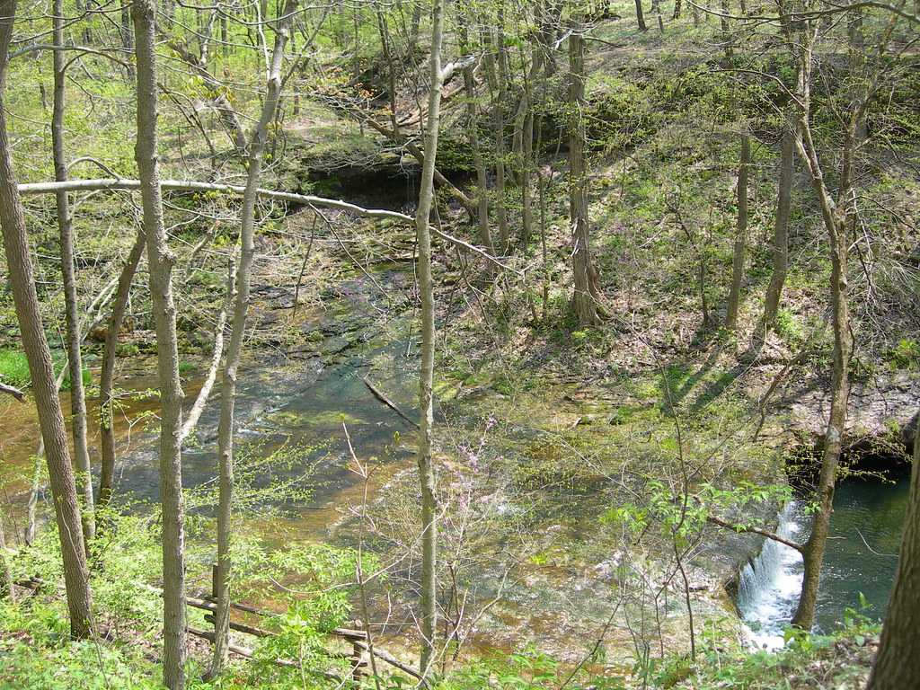
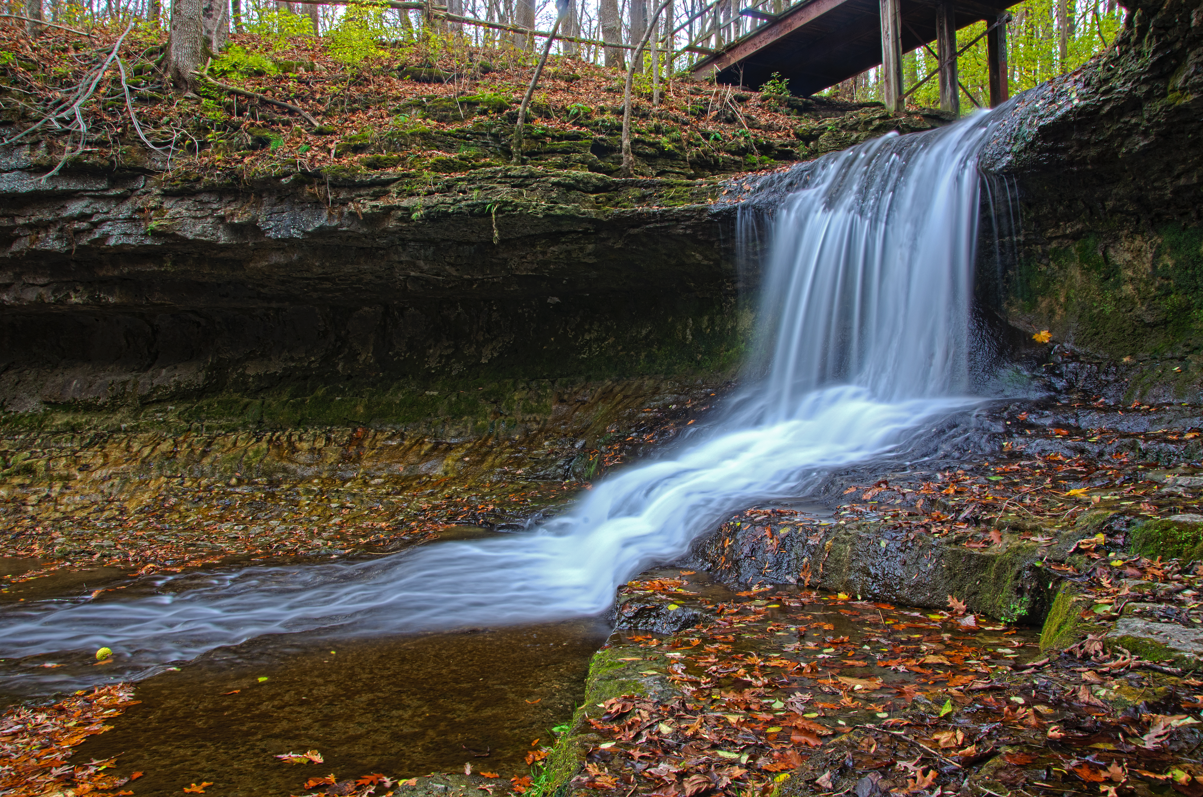
Clifton Gorge

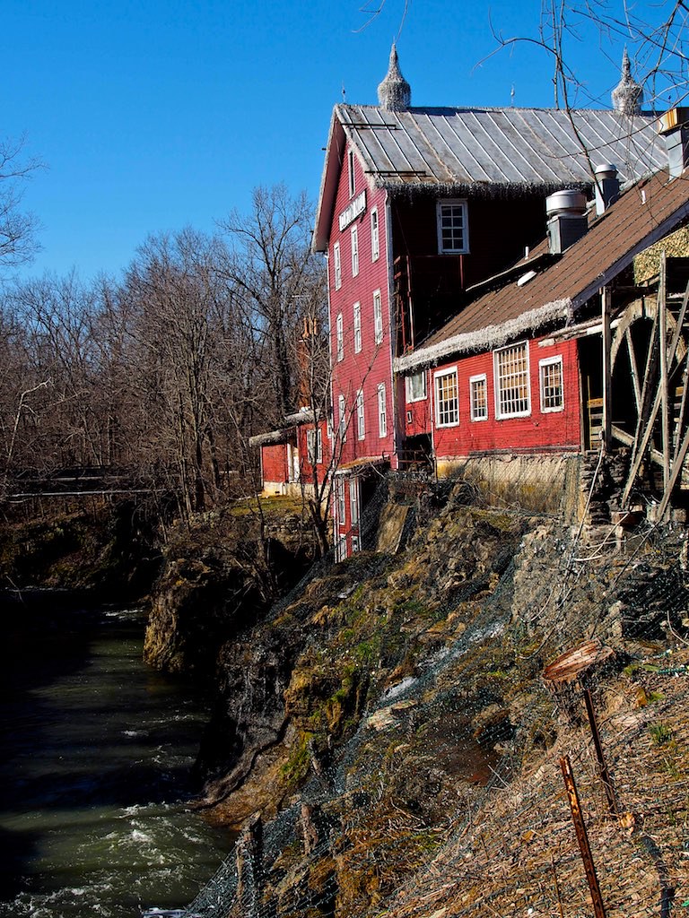
Clifton Mill

View of Antioch College, at Yellow Springs, Ohio

USMNT Viewing Party
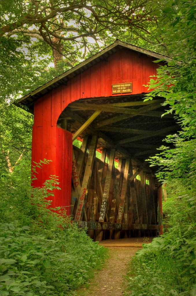
Ballard Road Covered Bridge barrel view, Greene County, OH
Eurasian Collared-Dove (Bird #4 or #3; the one that didn't fly off with #5-#8)

Water wheel (3D)

Blue Hole
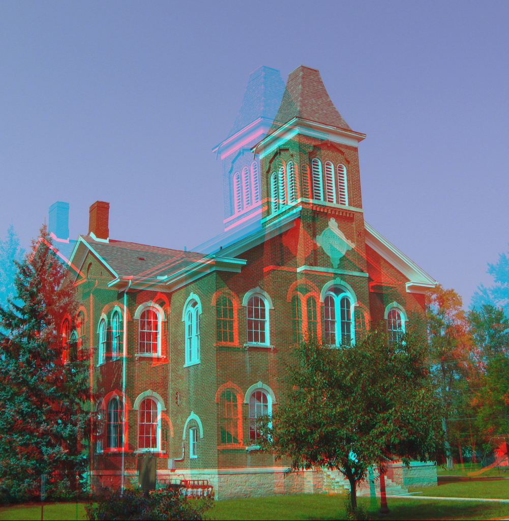
Clifton High School (hyper-3D)
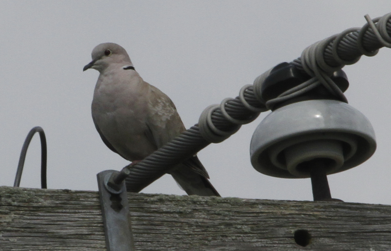
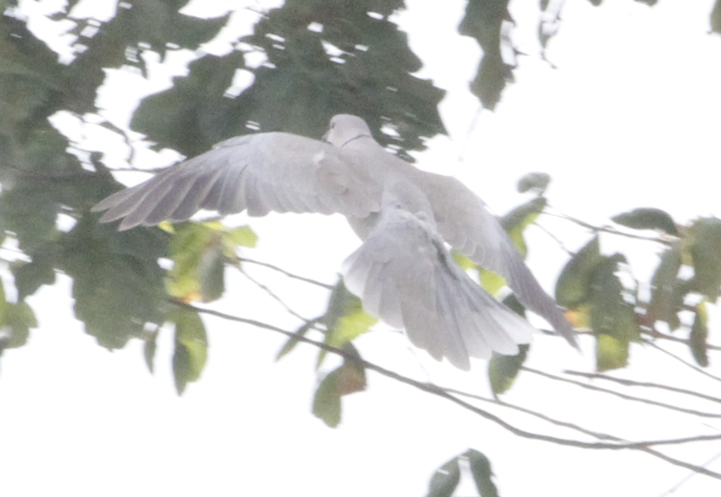
Eurasian Collared-Dove (Bird #1)
small falls top view
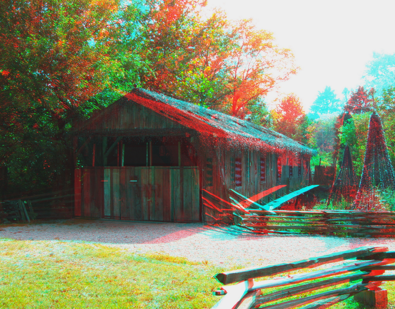
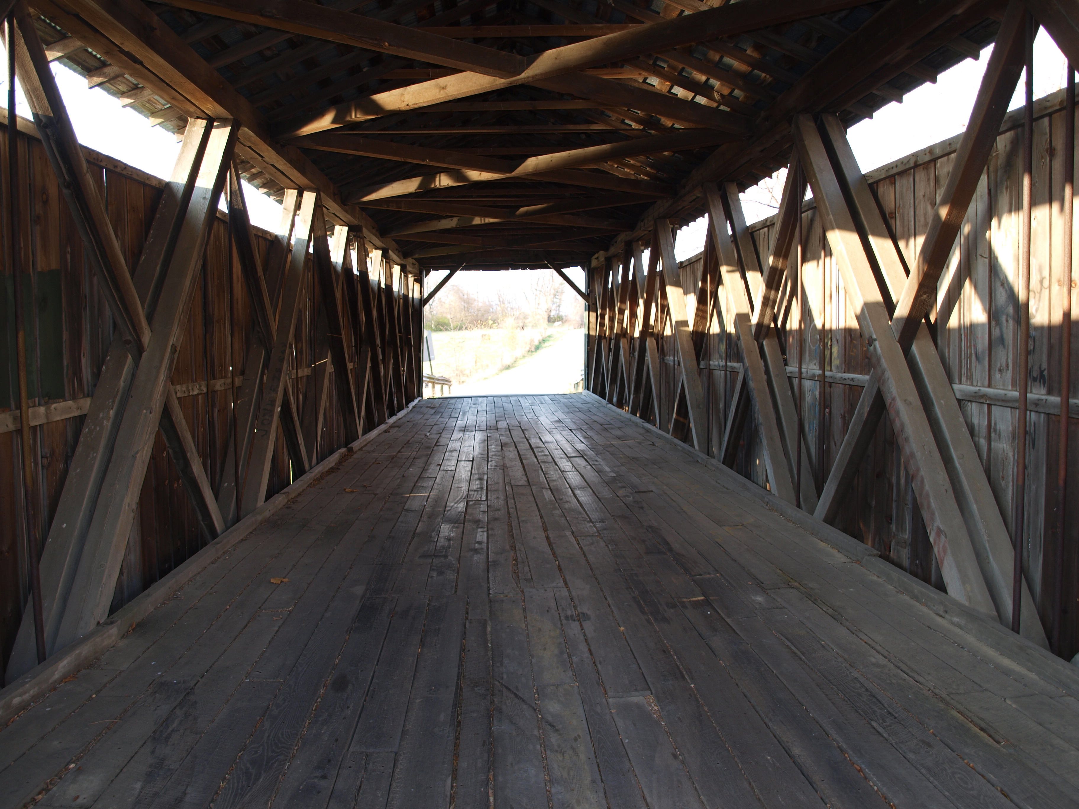
Covered Bridge (3D)
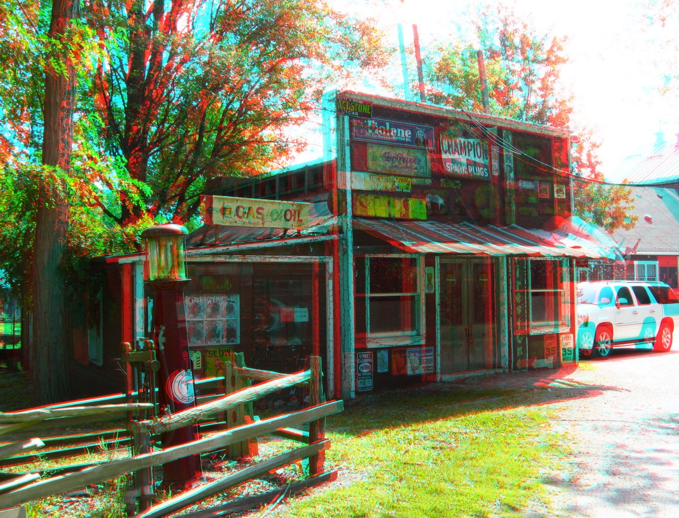
Hardware & Gas (3D)

glen-helen-fall
Oasis in the Glen | Yellow Springs, Ohio

Sunflowers & More Sunflowers
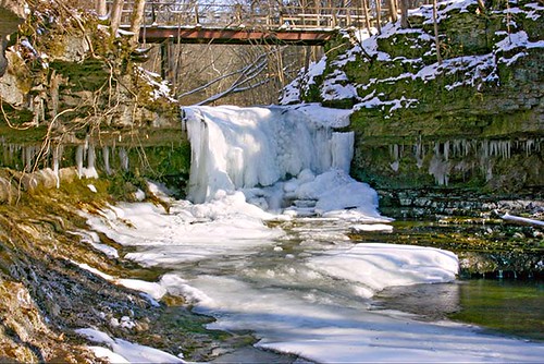
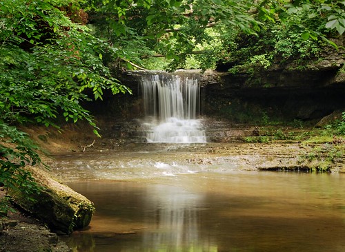
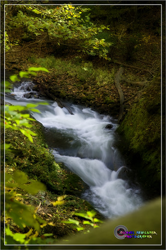
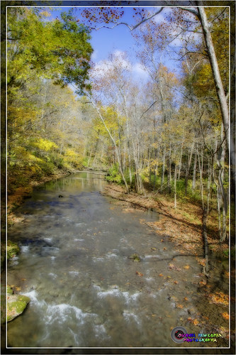
The Cascades of Glen Helen
The cascades
Yellow Springs, Ohio
moving water

day is done
In the Faerie Forest
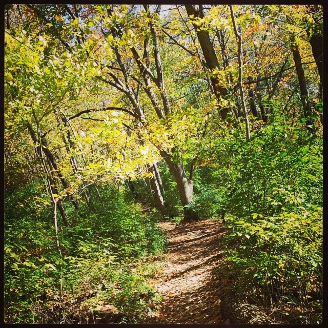
Walk in the Woods

Clifton Gorge

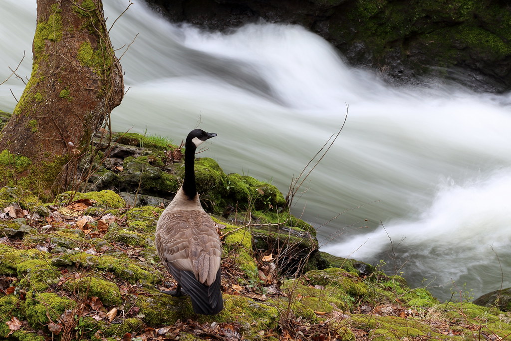
Rivers Edge
Clifton Gorge
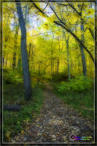
Walk in the Woods
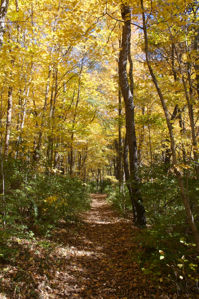
Wooded Path 2
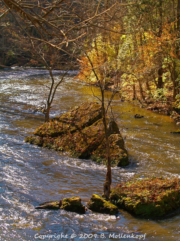
Dolomite Slump Blocks in the River

Looking down
Clifton Gorge

Evening Light
A #hike in the #woods. #autumn #fall #yellowsprings
Clifton Gorge
Topographic Map of Selma Pike, South Charleston, OH, USA
Find elevation by address:

Places near Selma Pike, South Charleston, OH, USA:
Selma Pike, South Charleston, OH, USA
U.s. 42 West
5700 Selma Pike
3595 Kyle Rd
Selma Rd, Springfield, OH, USA
Green Township
Cedarville Township
Selma Road
Cedarville
Clark County
Railroad Street
3901 Laybourne Rd
Main Street
Clifton
1320 S Bird Rd
2505 Harbison Rd
Springfield Township
Hillcrest Terrace
Kinnane Ave, Springfield, OH, USA
Possum Woods
Recent Searches:
- Elevation of 6 Rue Jules Ferry, Beausoleil, France
- Elevation of Sattva Horizon, 4JC6+G9P, Vinayak Nagar, Kattigenahalli, Bengaluru, Karnataka, India
- Elevation of Great Brook Sports, Gold Star Hwy, Groton, CT, USA
- Elevation of 10 Mountain Laurels Dr, Nashua, NH, USA
- Elevation of 16 Gilboa Ln, Nashua, NH, USA
- Elevation of Laurel Rd, Townsend, TN, USA
- Elevation of 3 Nestling Wood Dr, Long Valley, NJ, USA
- Elevation of Ilungu, Tanzania
- Elevation of Yellow Springs Road, Yellow Springs Rd, Chester Springs, PA, USA
- Elevation of Rēzekne Municipality, Latvia