Elevation of Sellers Rd, Moselle, MS, USA
Location: United States > Mississippi > Jones County > Moselle >
Longitude: -89.267954
Latitude: 31.4745794
Elevation: 83m / 272feet
Barometric Pressure: 100KPa
Elevation Map:
Satellite Map:
Related Photos:
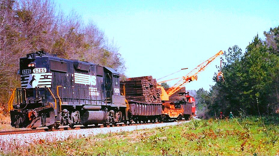
Norfolk Southern Work Train South of Ellisville, Mississippi in March 1991

Jones County Courthouse in Ellisville (Side View)

Petal Skatepark in Petal, Mississippi
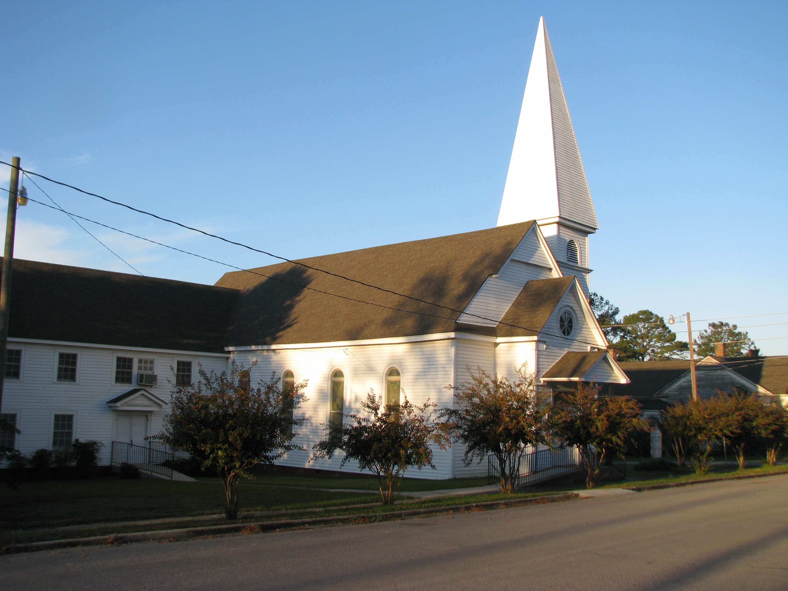
Ellisville, Mississippi Presbyterian Church
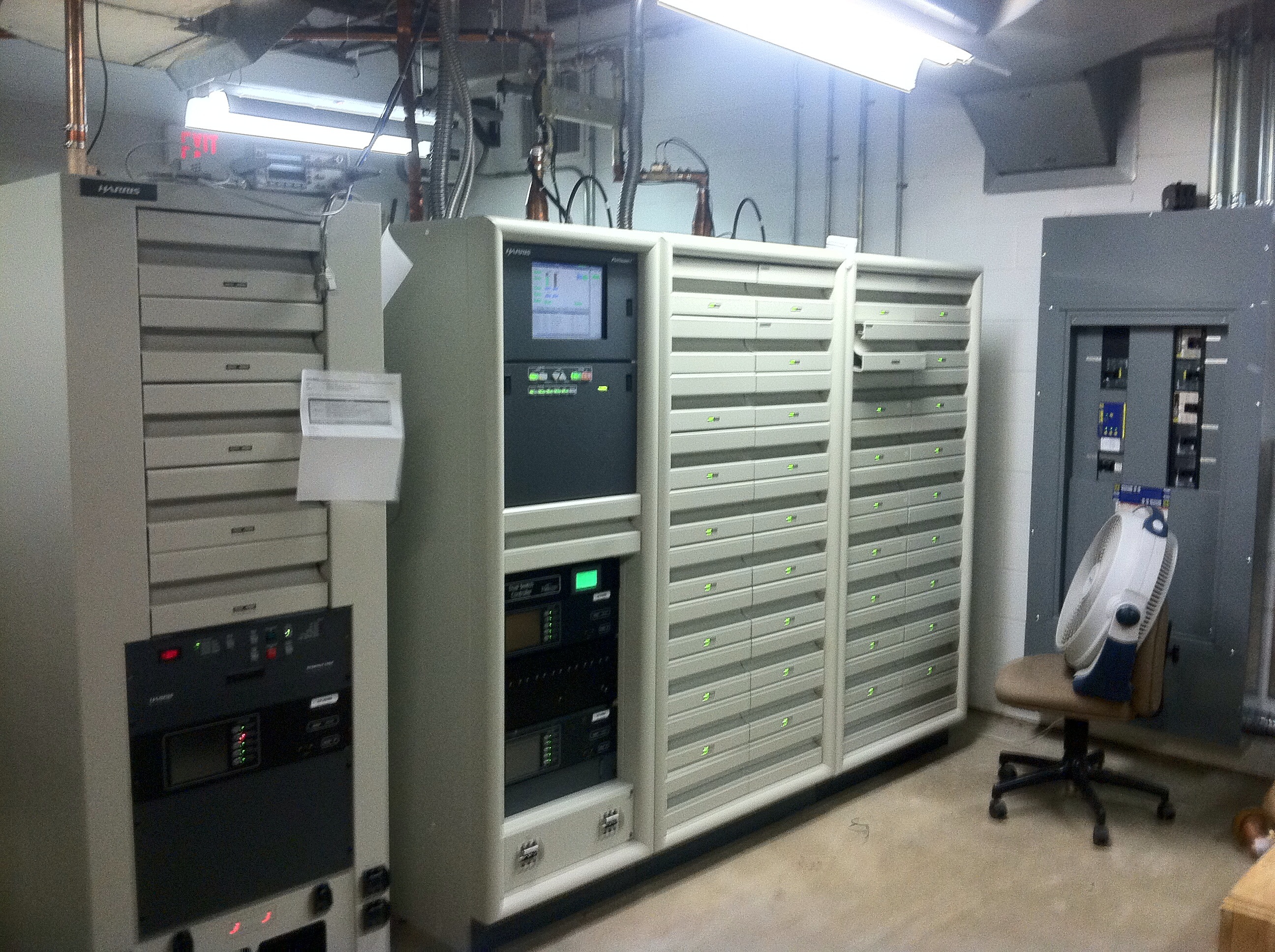
WDAM Transmitter

Union Falls

#driving
#driving
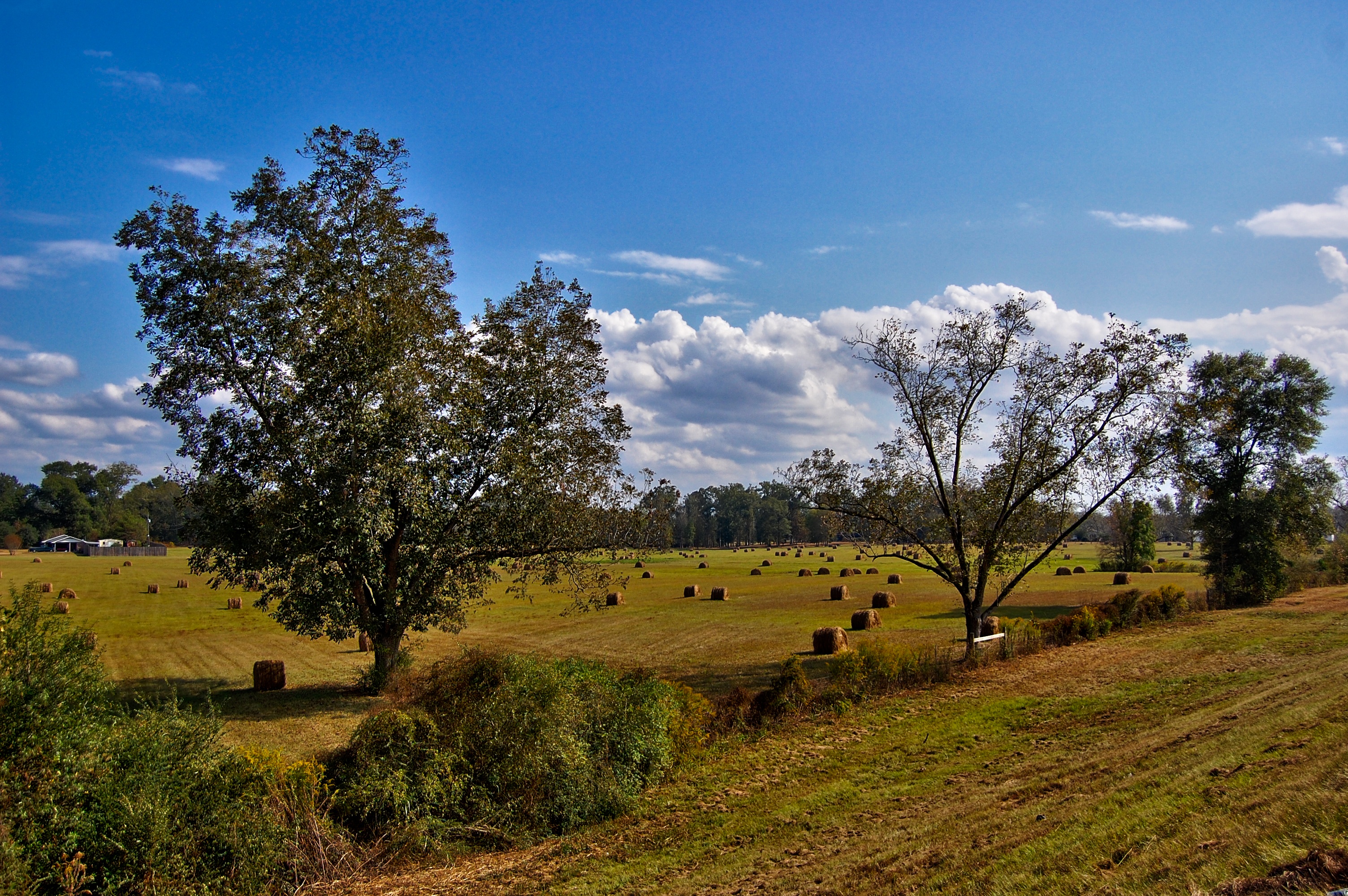
Hay Rolls
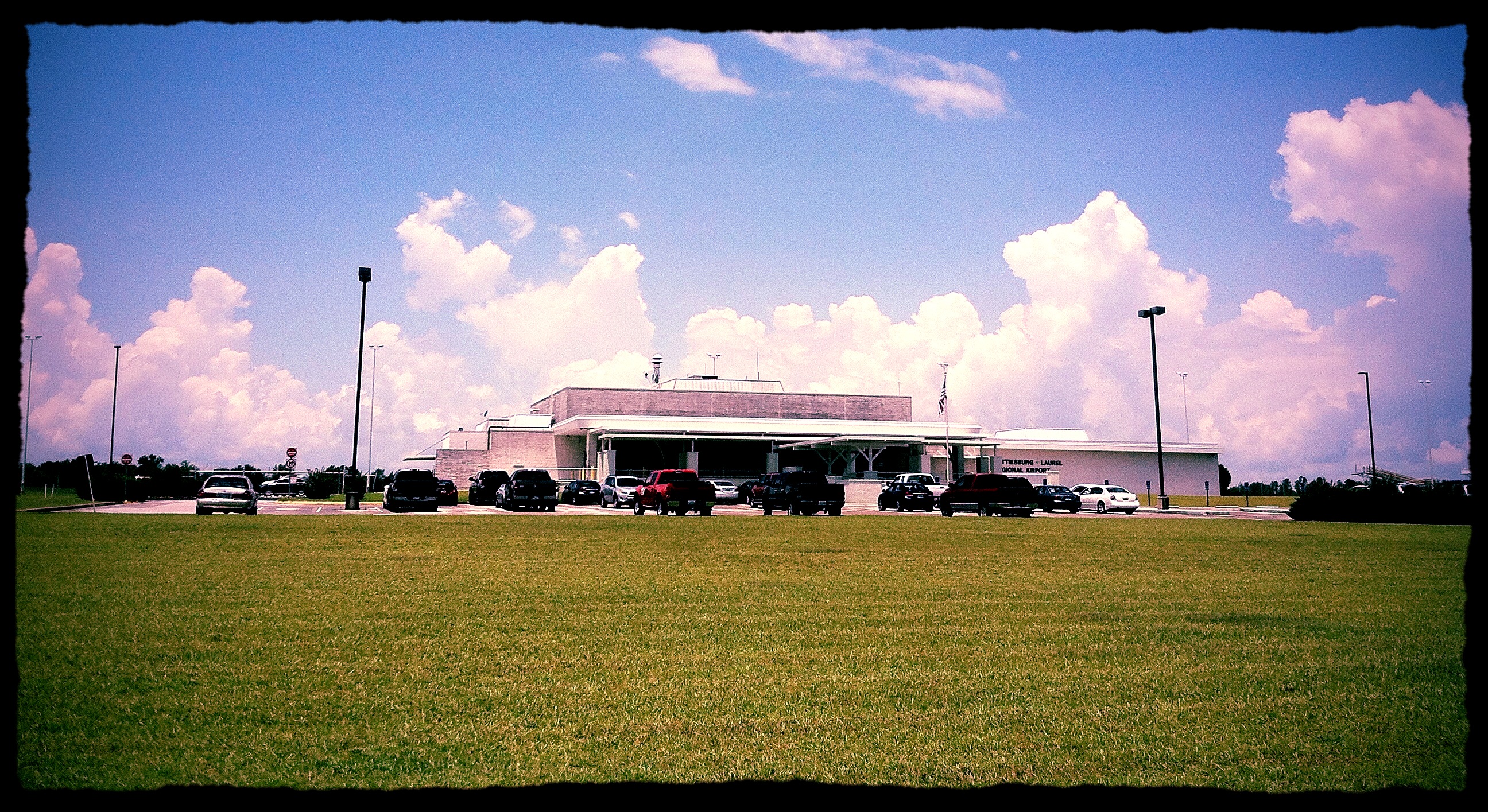
Hattiesburg- Laurel Regional Airport (KPIB)
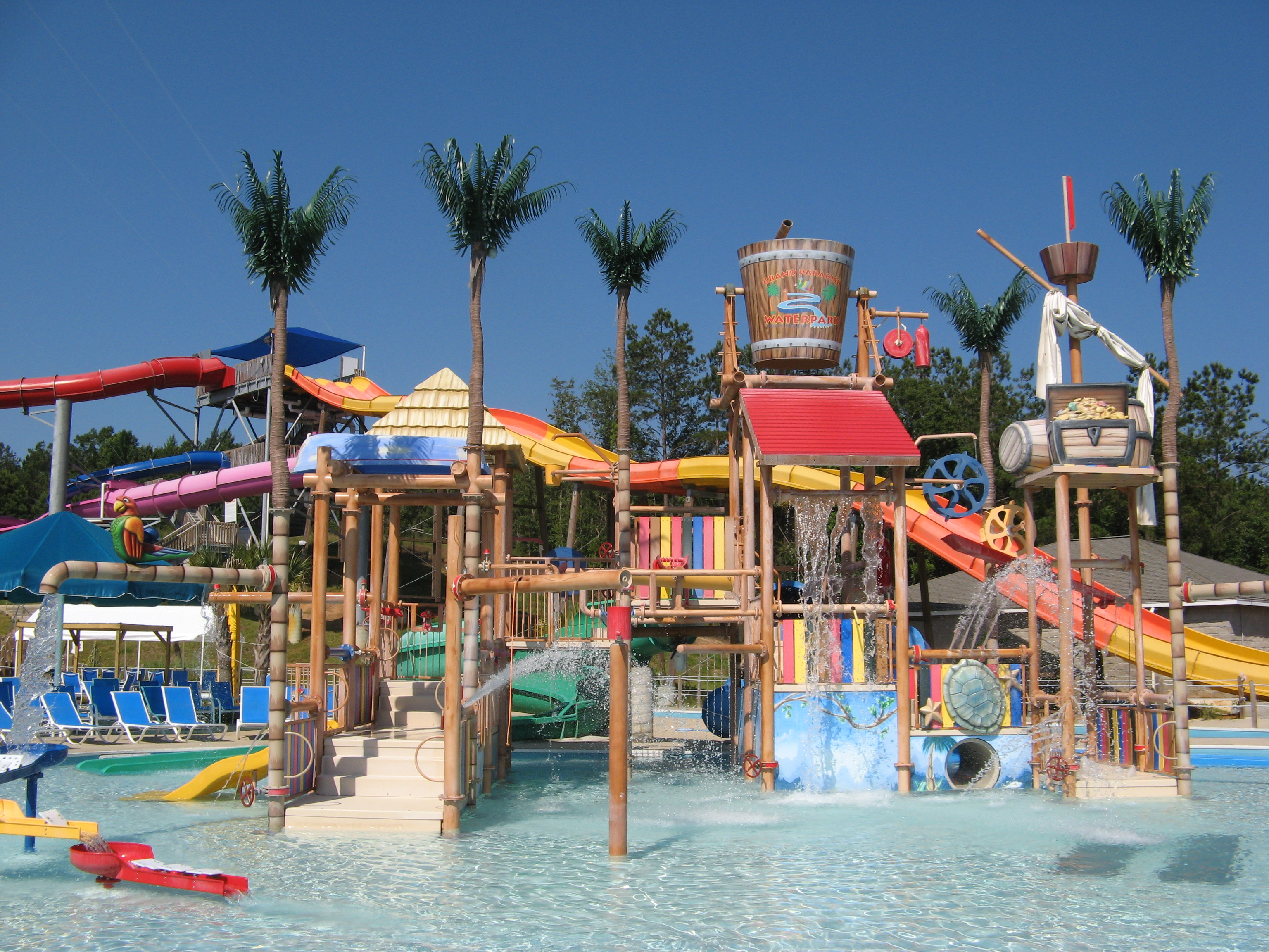
Grand Paradise Water Park
Hattiesburg- Laurel Regional Airport (KPIB)

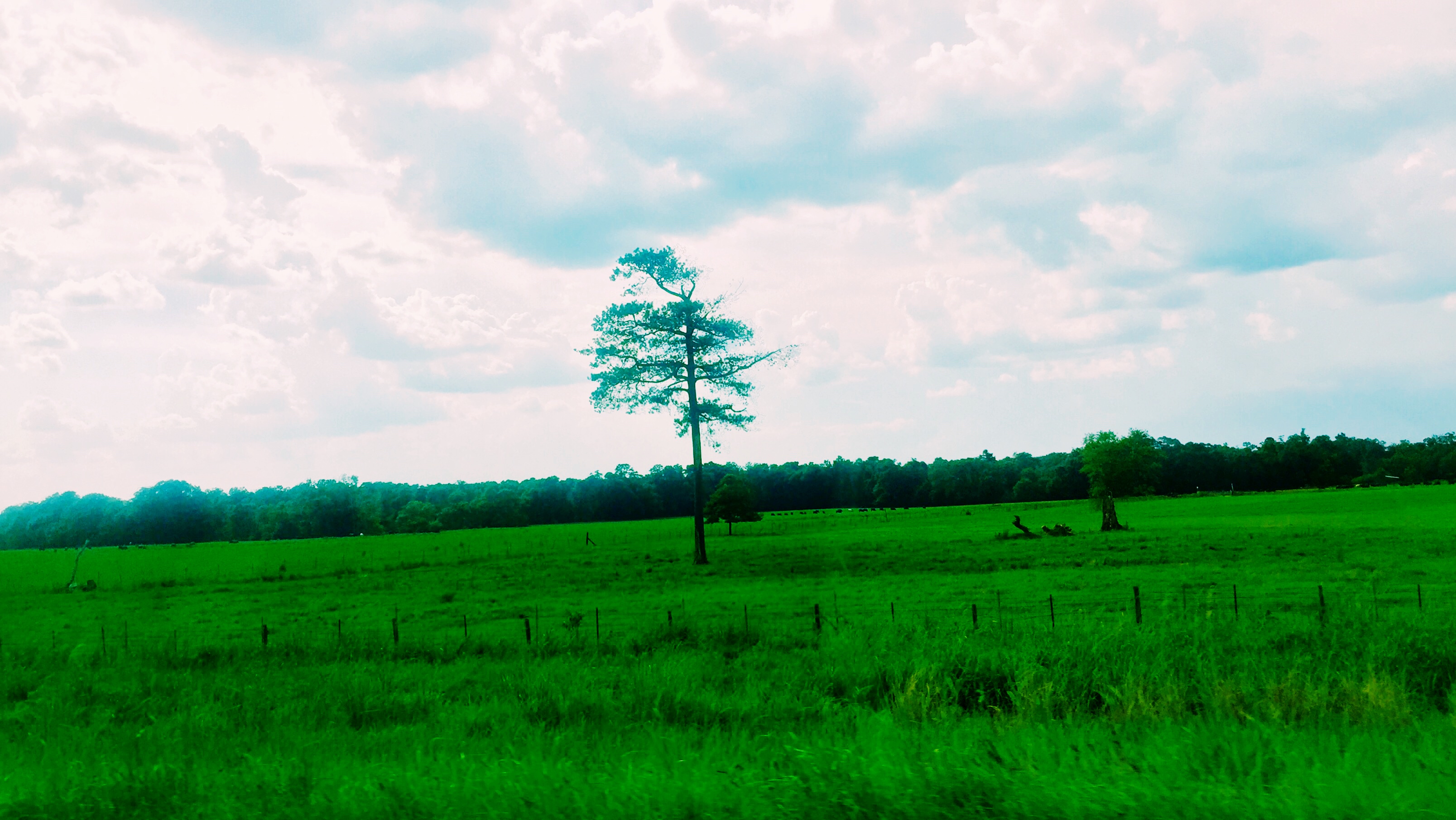
Tree at morning
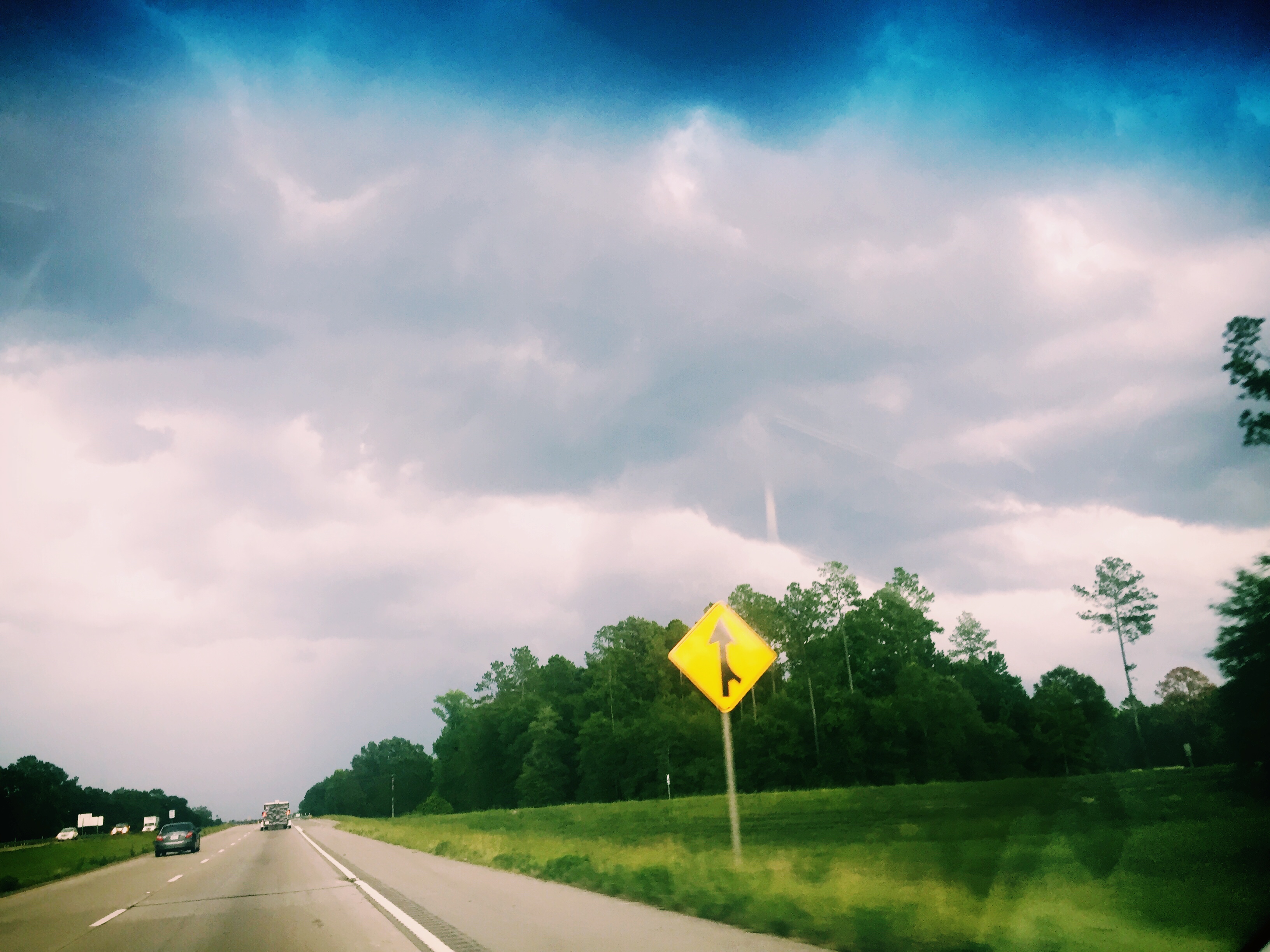
Looking SW on #I59 N
#summer2016 #I59
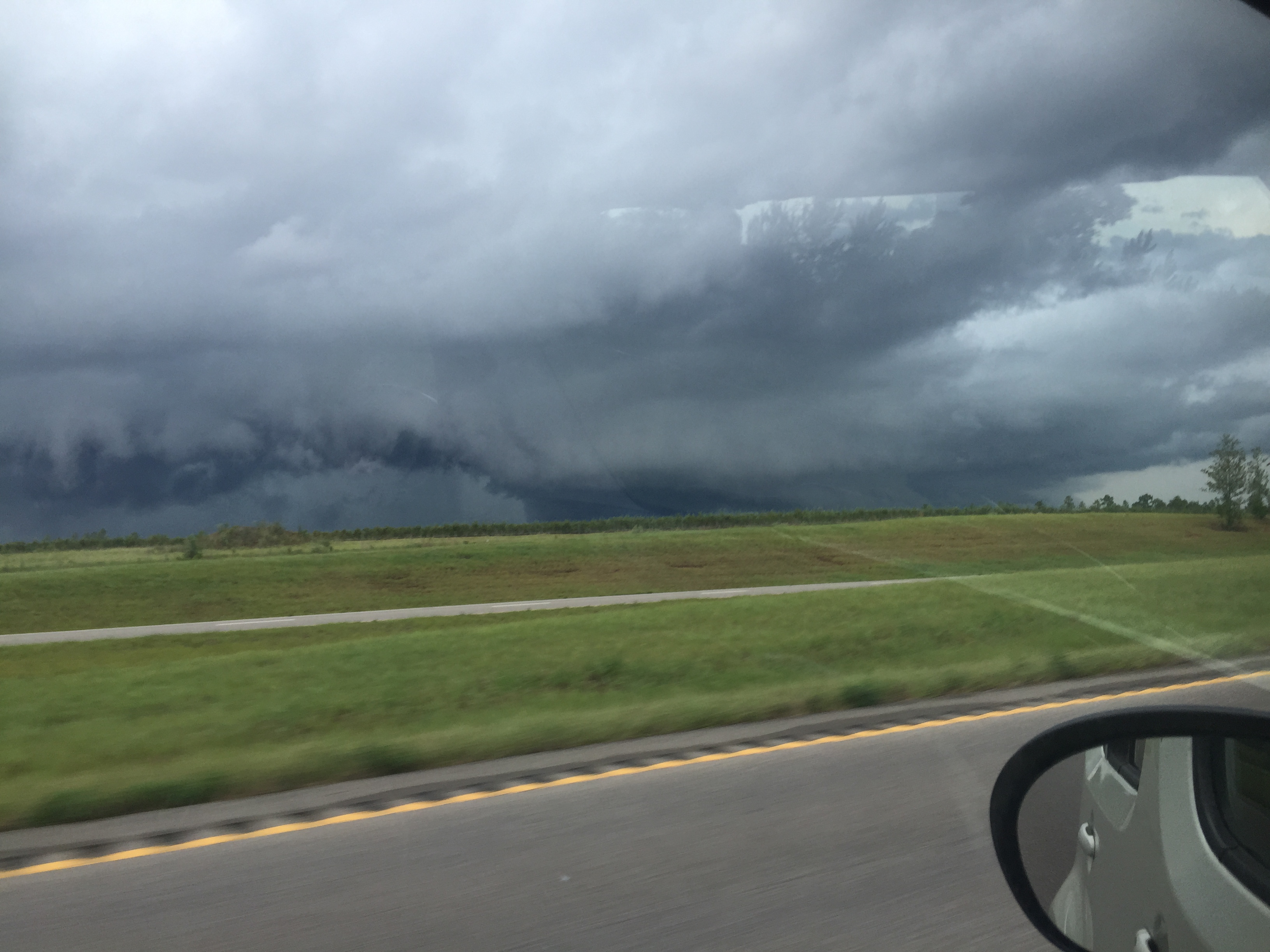
#WX #Clouds #summerthunderstorm
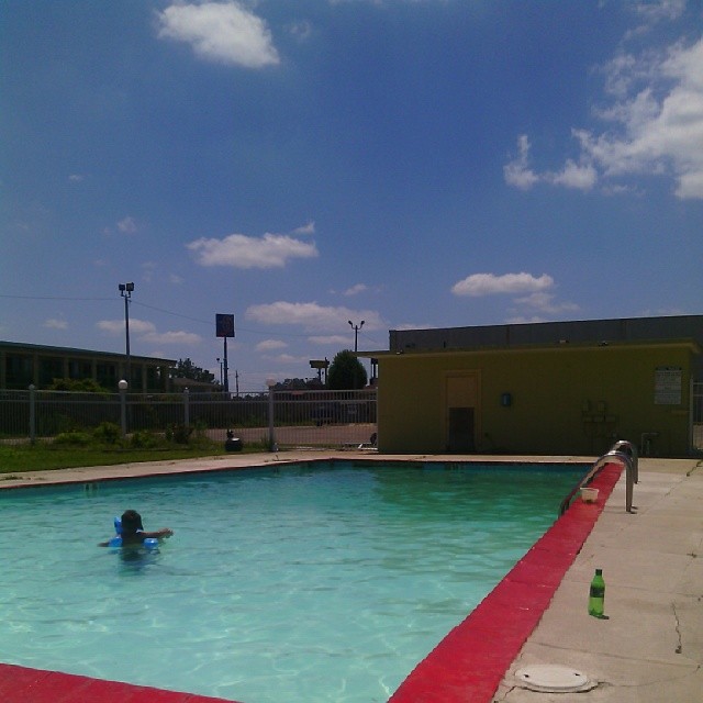
#SUPERHOTT #WATERFUN #CHILLING
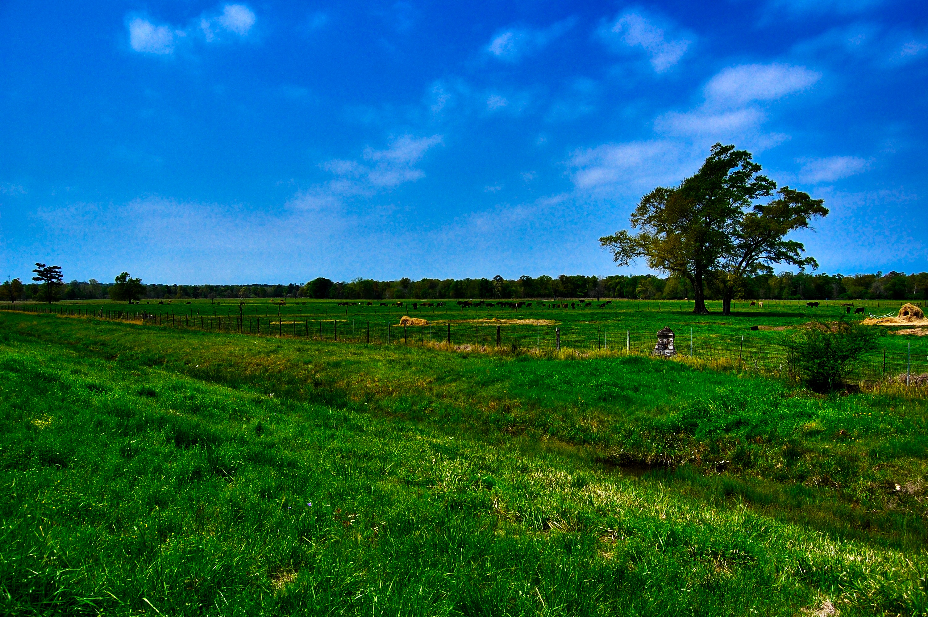
Field of Cows
Topographic Map of Sellers Rd, Moselle, MS, USA
Find elevation by address:

Places near Sellers Rd, Moselle, MS, USA:
Moselle
252 Westside Dr
Leeville Rd, Petal, MS, USA
100 Laurel Creek Rd
Vinyard Loop
327 Moselle-seminary Rd
327 Moselle-seminary Rd
327 Moselle-seminary Rd
518 Shiloh Church Rd
Leeville Rd, Petal, MS, USA
660 Leeville Rd
7 Morriston Rd, Petal, MS, USA
Snows Creek
Jones County
201 Elizabeth Ave
Petal
Petal
Petal
Petal
Petal
Recent Searches:
- Elevation of Gateway Blvd SE, Canton, OH, USA
- Elevation of East W.T. Harris Boulevard, E W.T. Harris Blvd, Charlotte, NC, USA
- Elevation of West Sugar Creek, Charlotte, NC, USA
- Elevation of Wayland, NY, USA
- Elevation of Steadfast Ct, Daphne, AL, USA
- Elevation of Lagasgasan, X+CQH, Tiaong, Quezon, Philippines
- Elevation of Rojo Ct, Atascadero, CA, USA
- Elevation of Flagstaff Drive, Flagstaff Dr, North Carolina, USA
- Elevation of Avery Ln, Lakeland, FL, USA
- Elevation of Woolwine, VA, USA