Elevation of Sellers Rd, Caryville, FL, USA
Location: United States > Florida > Holmes County >
Longitude: -85.830402
Latitude: 30.837697
Elevation: 22m / 72feet
Barometric Pressure: 101KPa
Elevation Map:
Satellite Map:
Related Photos:
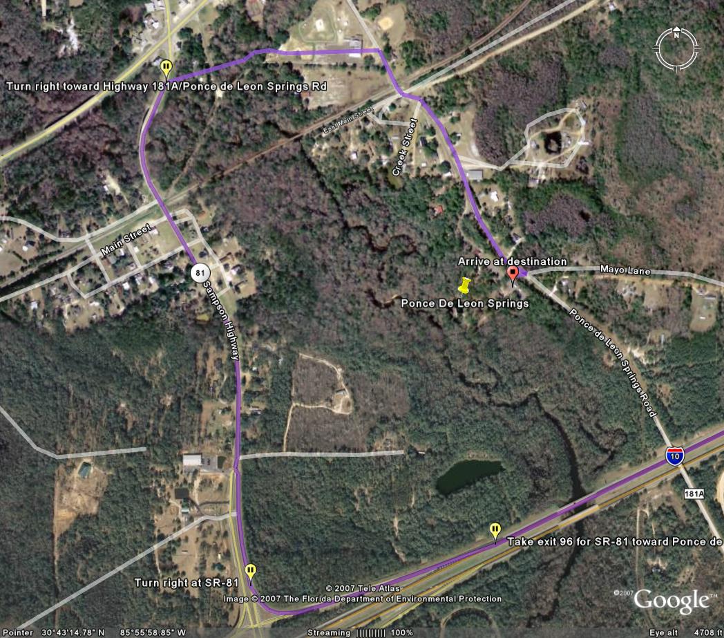
Google Earth Map view of Ponce de Leon Springs State Park

12-16-09

12-16-09

12-16-09

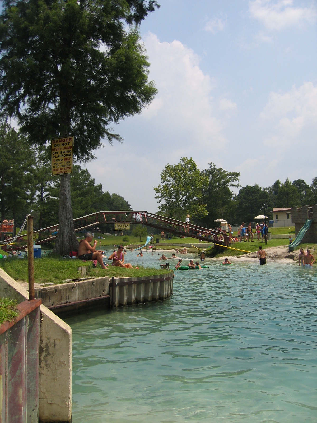
ENTERING FROM A DOCK

Rock in the Run
20081129-122212
Clear to the Sand

Looking Back

Submerged Branch

Up the Spring Run

Start of the Run

Submerged Tree Branch
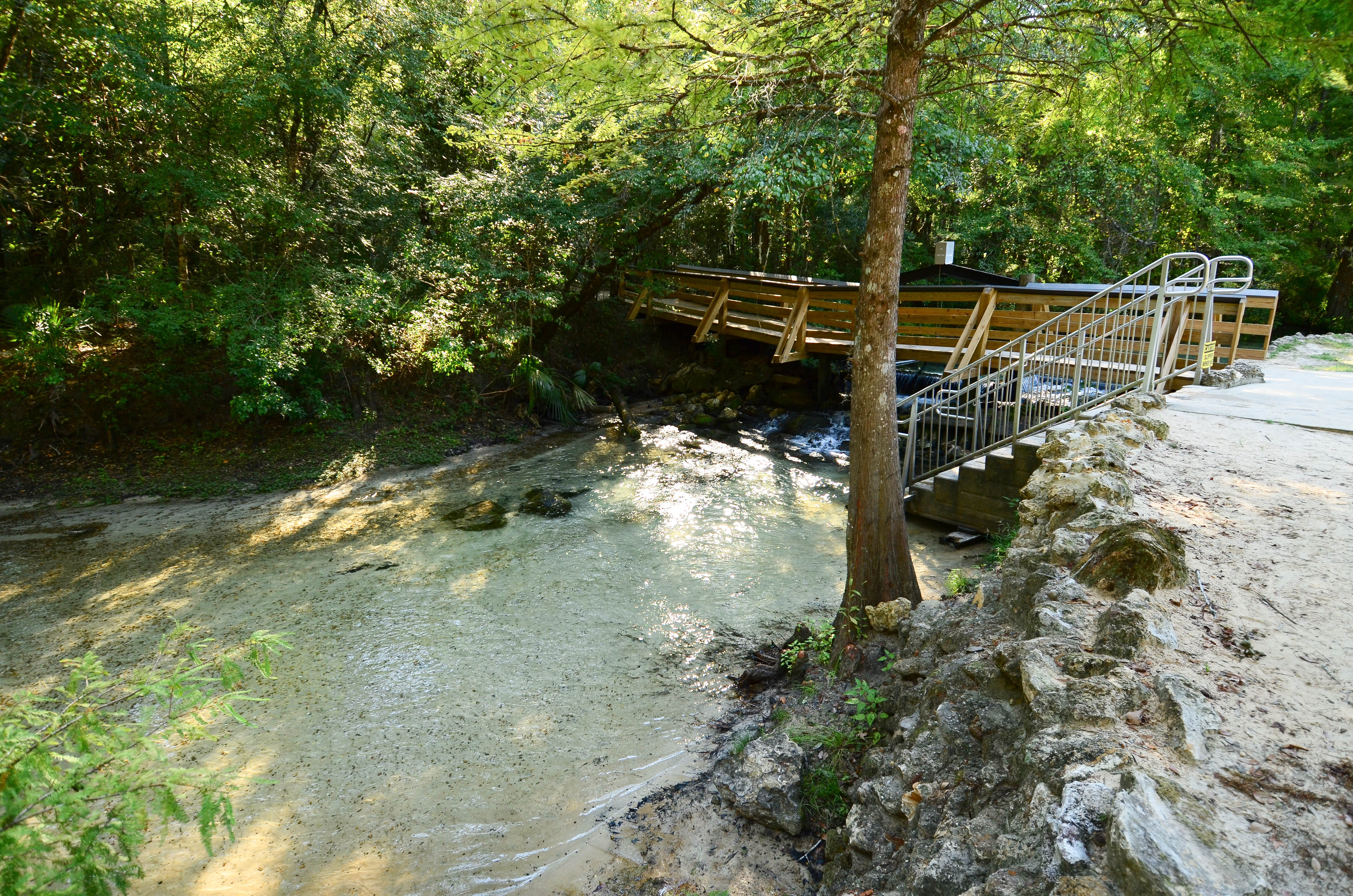
Bridge - Vortex Spring

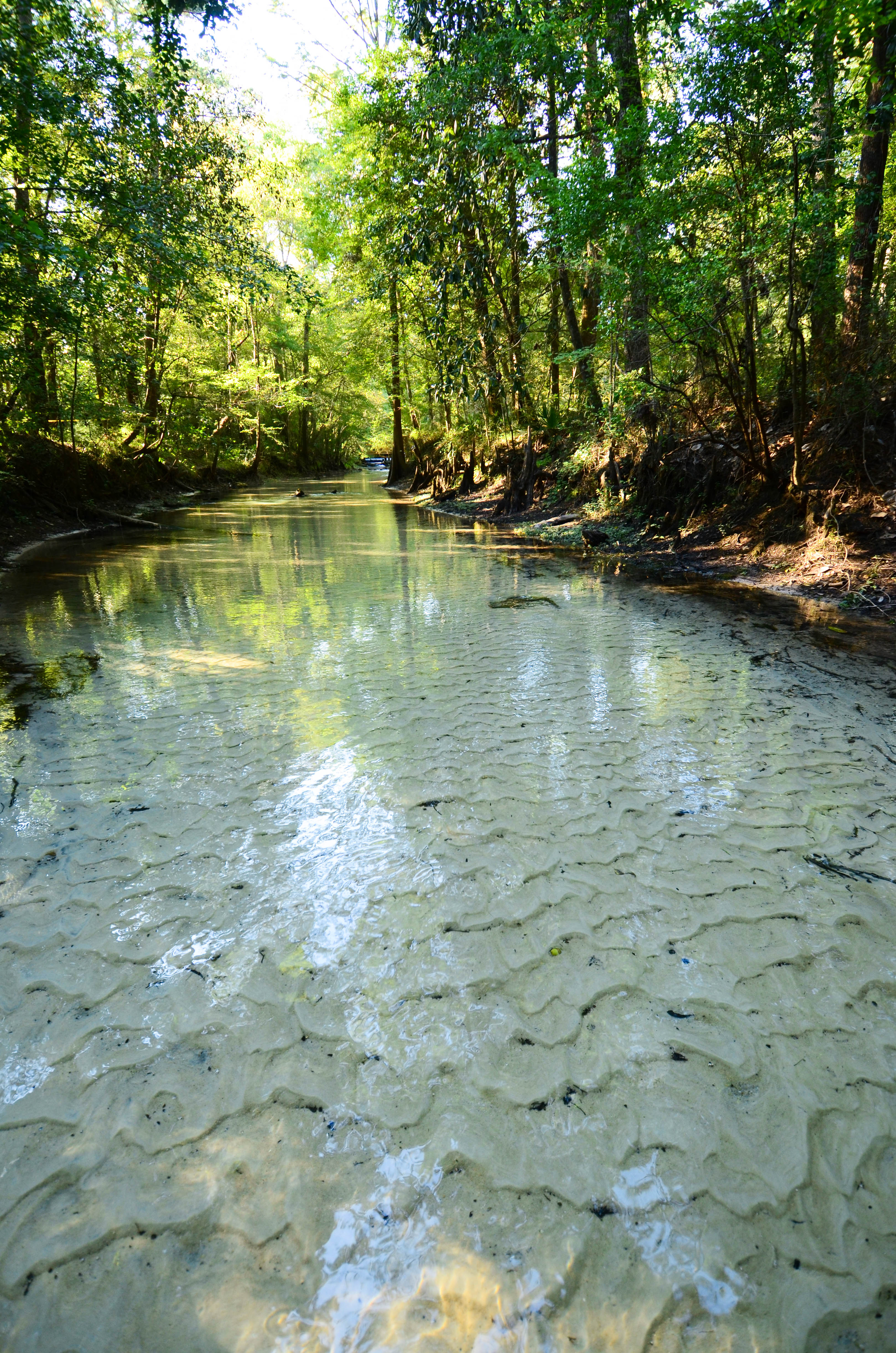
Spring Run
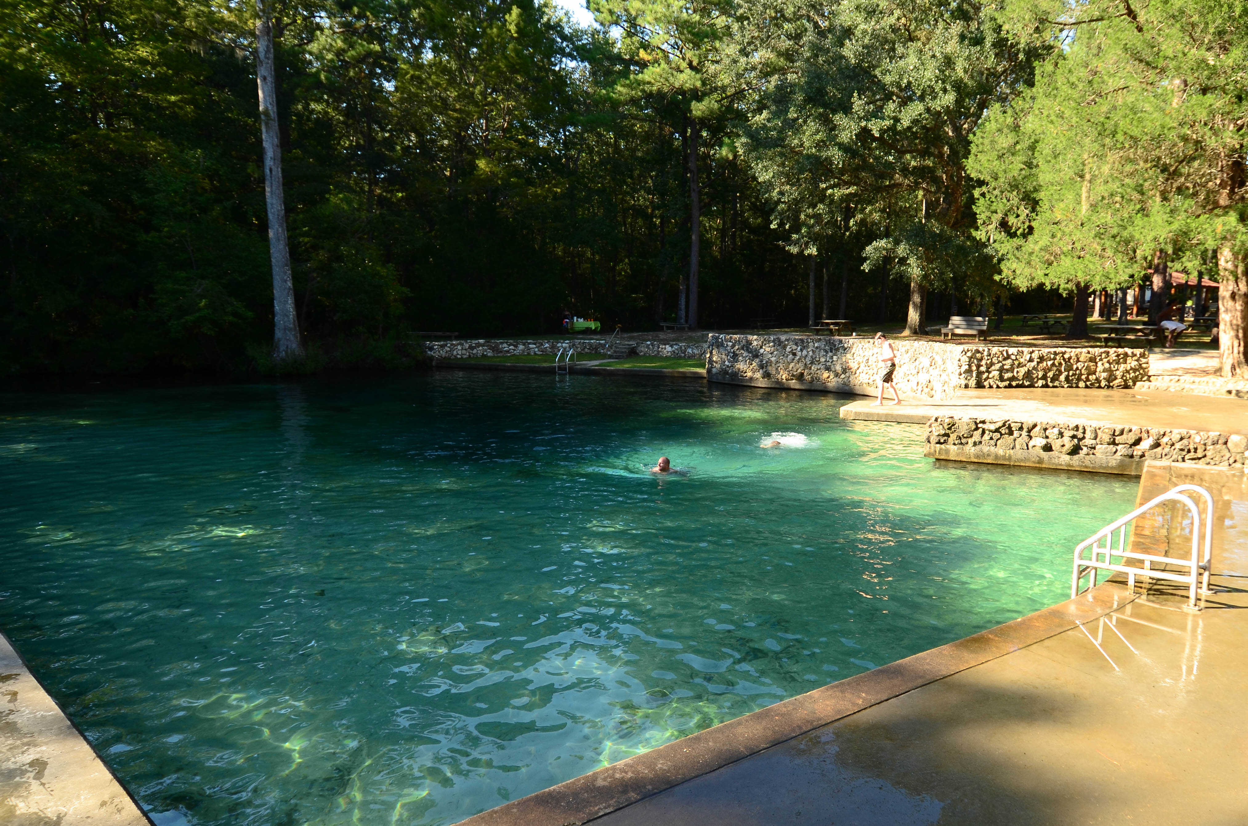
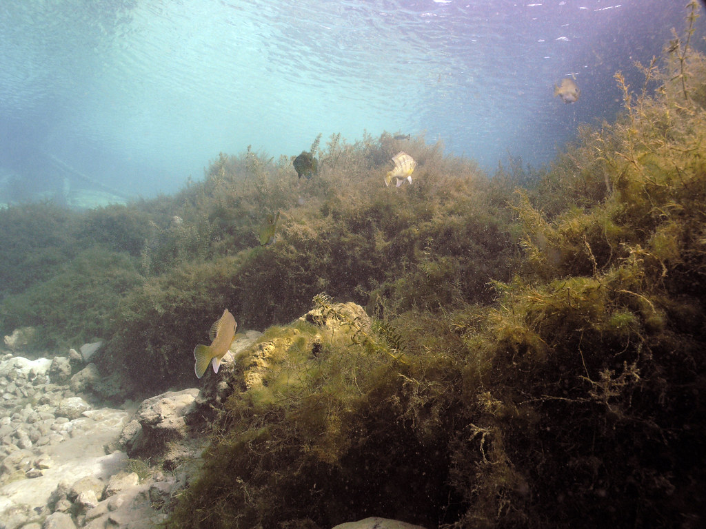
Ponce de Leon Spring
Accessible Spring Run
Topographic Map of Sellers Rd, Caryville, FL, USA
Find elevation by address:

Places near Sellers Rd, Caryville, FL, USA:
Hathaway Mill Rd, Caryville, FL, USA
Holmes County
1950 Misty Ln
1948 Misty Ln
1948 Misty Ln
1948 Misty Ln
1948 Misty Ln
1948 Misty Ln
1948 Misty Ln
1948 Misty Ln
1948 Misty Ln
1948 Misty Ln
1948 Misty Ln
1948 Misty Ln
2465 John Marsh Rd
Co Rd, Westville, FL, USA
Caryville
Westville
Curry Ferry Rd, Bonifay, FL, USA
4218 New Effort Rd
Recent Searches:
- Elevation of Corso Fratelli Cairoli, 35, Macerata MC, Italy
- Elevation of Tallevast Rd, Sarasota, FL, USA
- Elevation of 4th St E, Sonoma, CA, USA
- Elevation of Black Hollow Rd, Pennsdale, PA, USA
- Elevation of Oakland Ave, Williamsport, PA, USA
- Elevation of Pedrógão Grande, Portugal
- Elevation of Klee Dr, Martinsburg, WV, USA
- Elevation of Via Roma, Pieranica CR, Italy
- Elevation of Tavkvetili Mountain, Georgia
- Elevation of Hartfords Bluff Cir, Mt Pleasant, SC, USA