Elevation of Seehorn, Zwischbergen, Switzerland
Location: Switzerland > Valais > Brig > Zwischbergen >
Longitude: 8.1161302
Latitude: 46.1824643
Elevation: 2418m / 7933feet
Barometric Pressure: 75KPa
Elevation Map:
Satellite Map:
Related Photos:

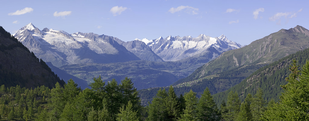
Sunrise near Monte Leone.A view to the Weisshorn. No. 7119.
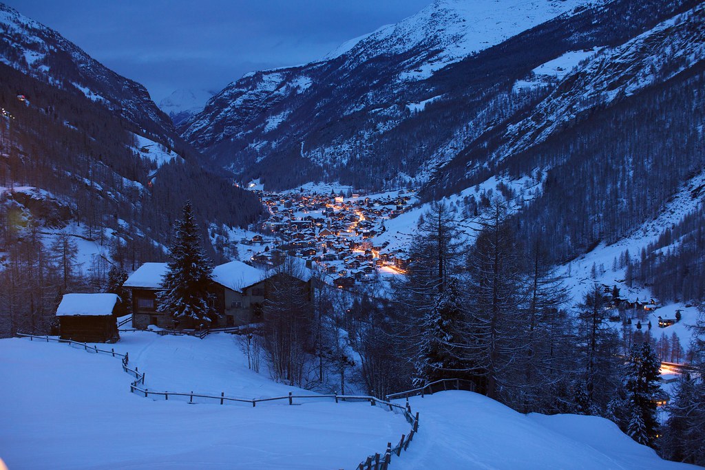
At Simplon Pass, Switzerland
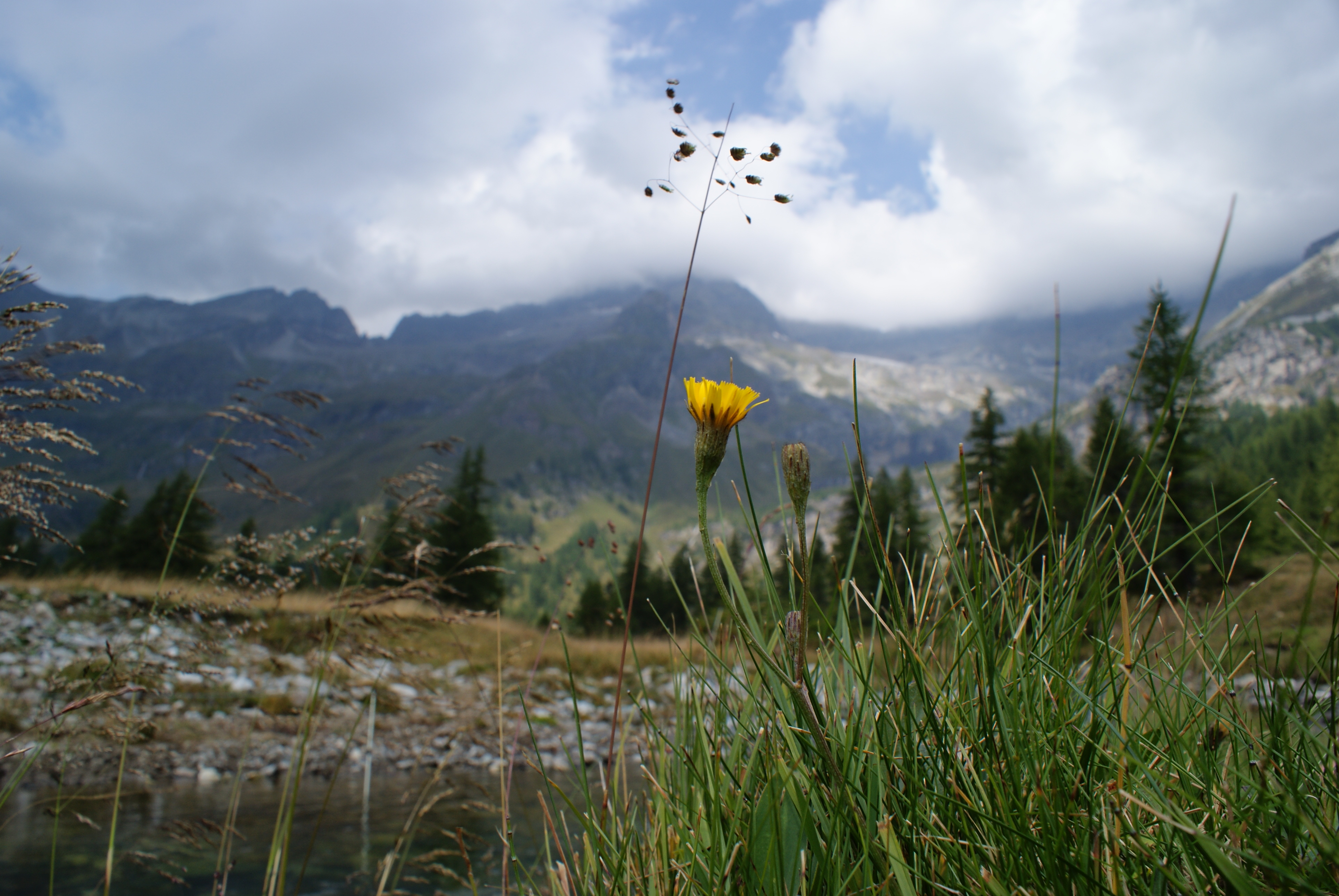
Saas-Grund

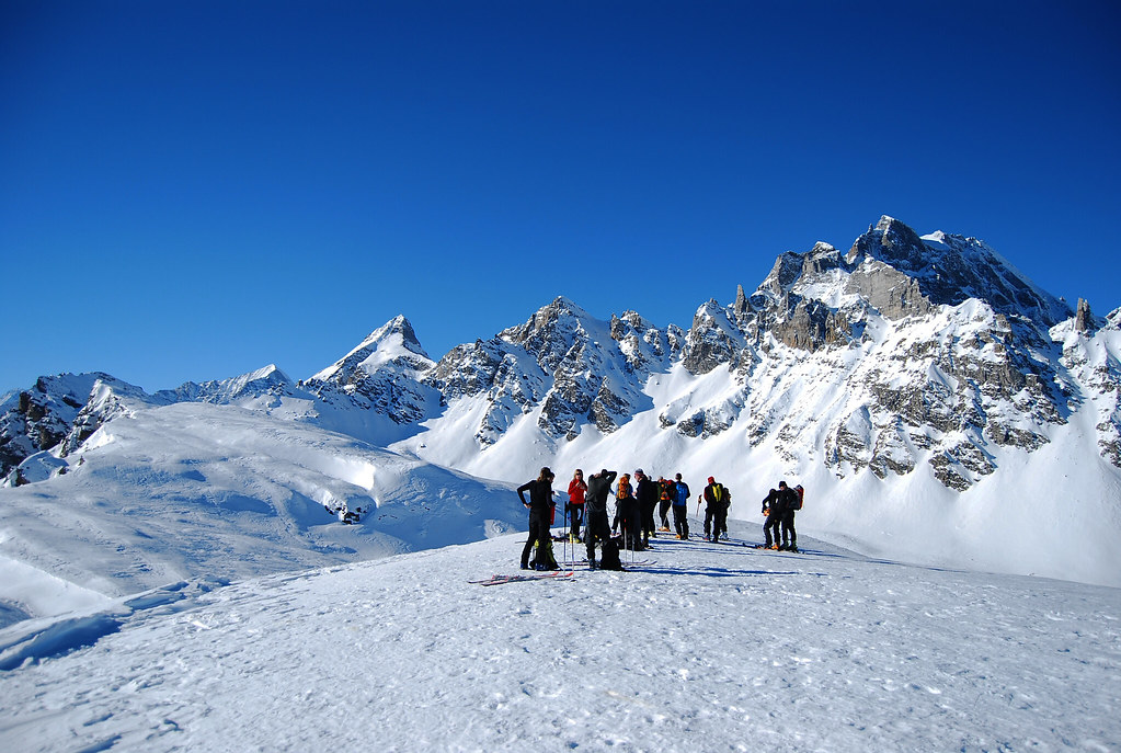
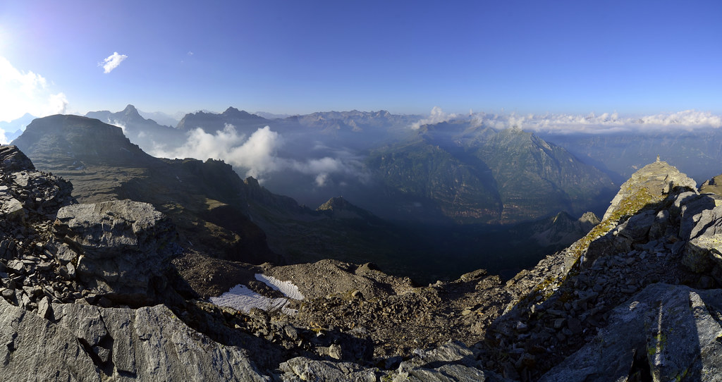
Panoramic view from the Mattwaldhorn
alpe veglia 1

Monte Leone & Lago d'Avino
Freeride Paradise
View from the Jegihorn (3206m)

Panoramic view near the Mattwaldhorn
Vista bellissima

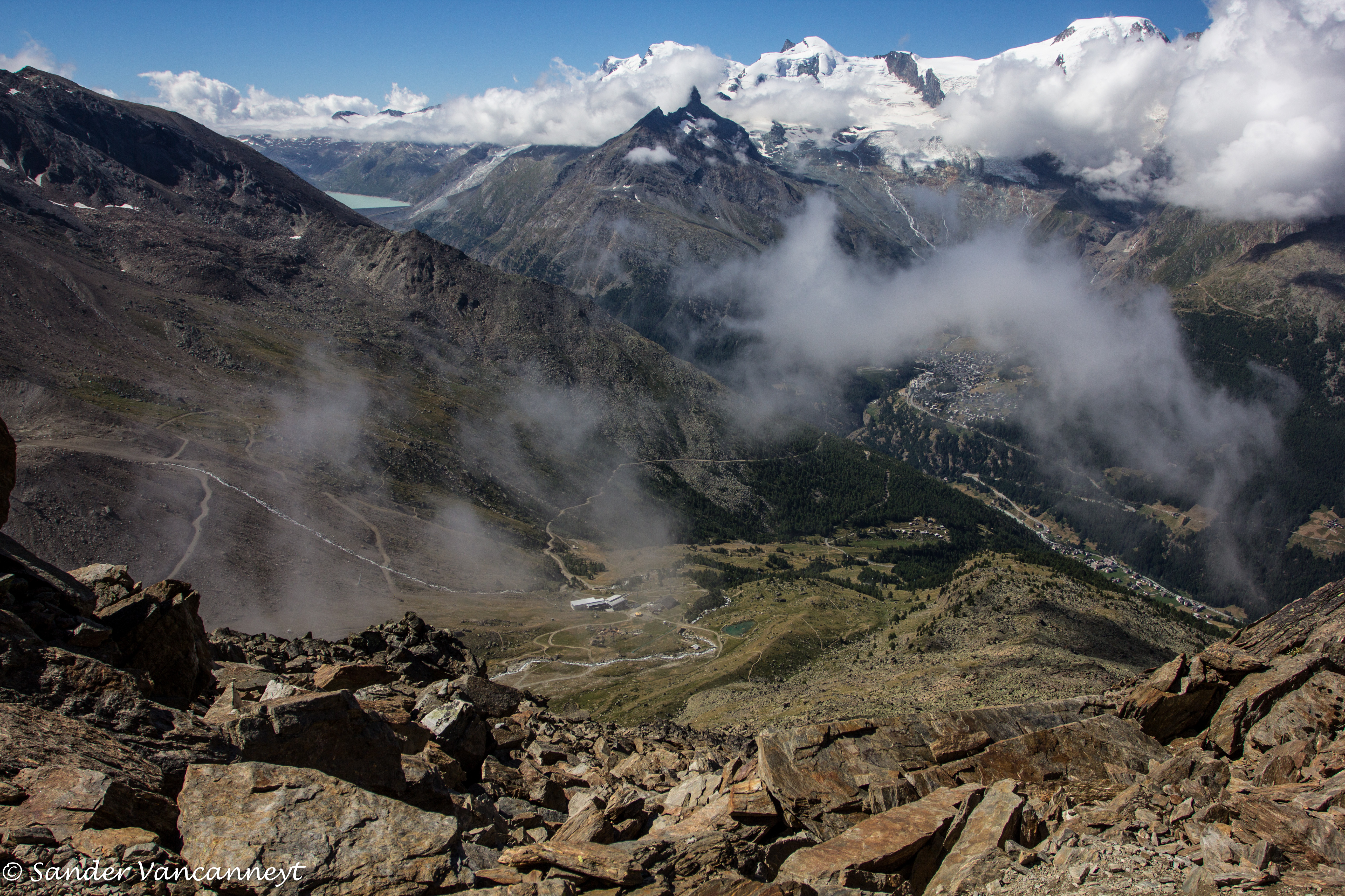
Panoramic view from the Ochsehorn

Panoramic view near Rothorn

Pennine Alps between Randa and Saas-Fee (Valais canton - CH)

Panoramic view from the Ochsehorn

Panoramic view on the way leading up to the Ochsehorn

193/365: Ultimate view from here. :-)

Views from near Simplon Pass cafe

Panoramic view from the Mattwaldhorn
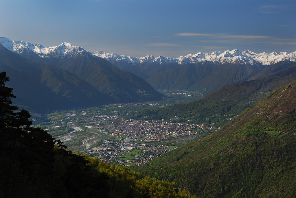
Domodossola e la Piana del Toce
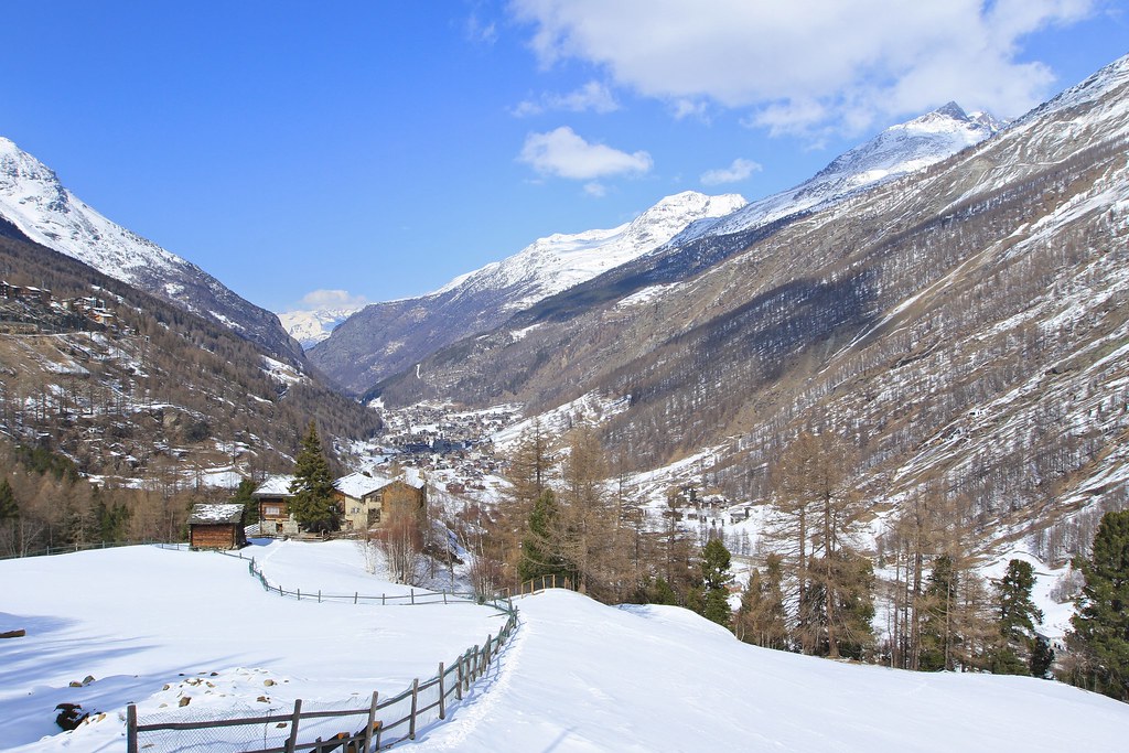
Waldhüs Bodmen, Saas-Fee
Panoramic view from the Mattwaldhorn
Topographic Map of Seehorn, Zwischbergen, Switzerland
Find elevation by address:

Places near Seehorn, Zwischbergen, Switzerland:
Zwischbergen
Camoscellahorn
Cima Verosso
Pizzo Straciugo
Bognanco
Pizzanco
Fonti
Via Cavallini, 40
Domodossola
Via Fontana, 8
Varzo
Varzo
Province Of Verbano-cusio-ossola
Crevoladossola
Preglia
Domodossola
Crevoladossola
SS, 7, Druogno VB, Italy
Druogno
Recent Searches:
- Elevation of Corso Fratelli Cairoli, 35, Macerata MC, Italy
- Elevation of Tallevast Rd, Sarasota, FL, USA
- Elevation of 4th St E, Sonoma, CA, USA
- Elevation of Black Hollow Rd, Pennsdale, PA, USA
- Elevation of Oakland Ave, Williamsport, PA, USA
- Elevation of Pedrógão Grande, Portugal
- Elevation of Klee Dr, Martinsburg, WV, USA
- Elevation of Via Roma, Pieranica CR, Italy
- Elevation of Tavkvetili Mountain, Georgia
- Elevation of Hartfords Bluff Cir, Mt Pleasant, SC, USA